Canada - Far North
Kluane National Park
Tombstone Territorial Park
Chilkoot Trail
Donjek Packraft
There are many variations of the Donjek route, the longest walk in Kluane National Park. The Parks Canada website gives ideas for the mountain passes and presumably the easiest way to complete the circuit
My plan was to hit some scenic areas (Bocks Lake, Kluane Glacier, Donjek Glacier) then packraft the Donjek River for 50 miles to the highway
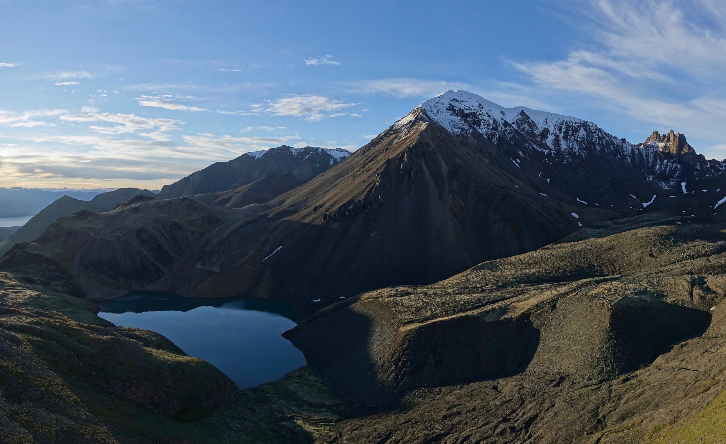
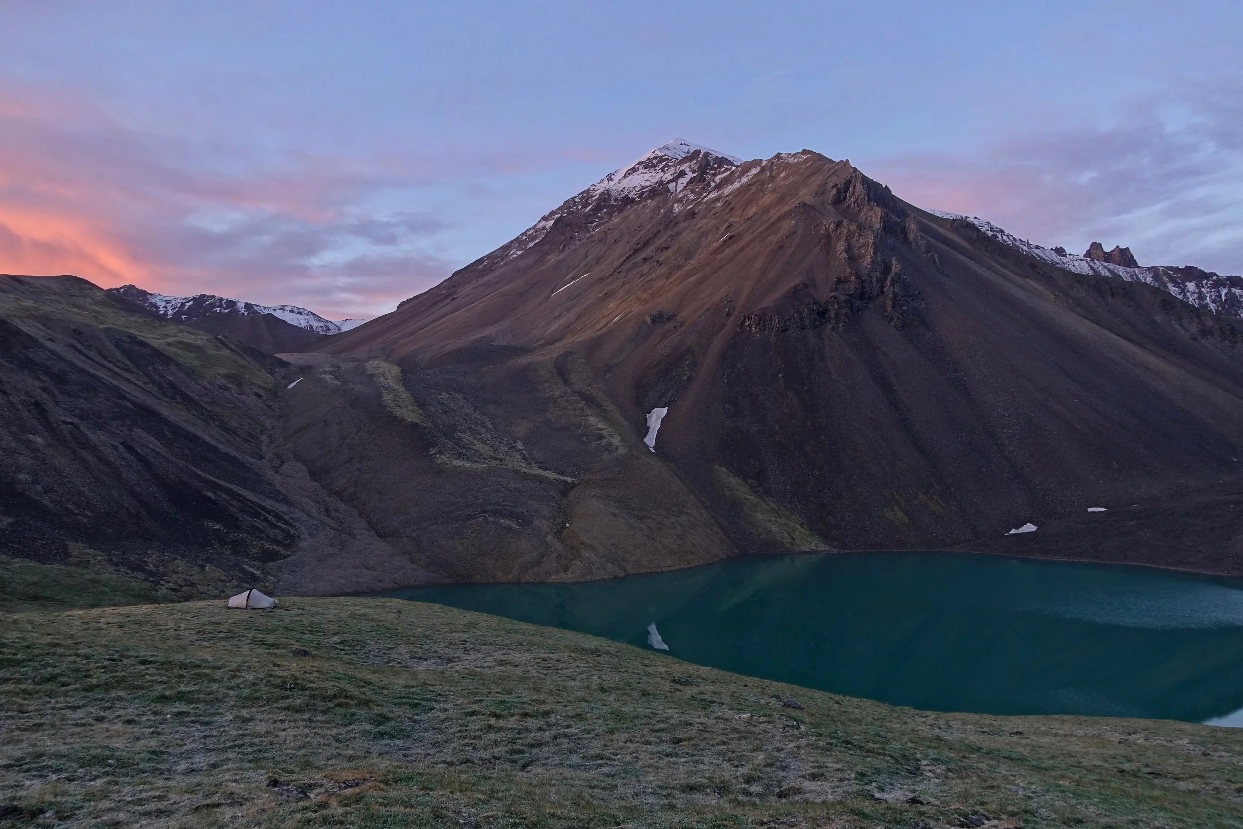
Bocks Lake from above
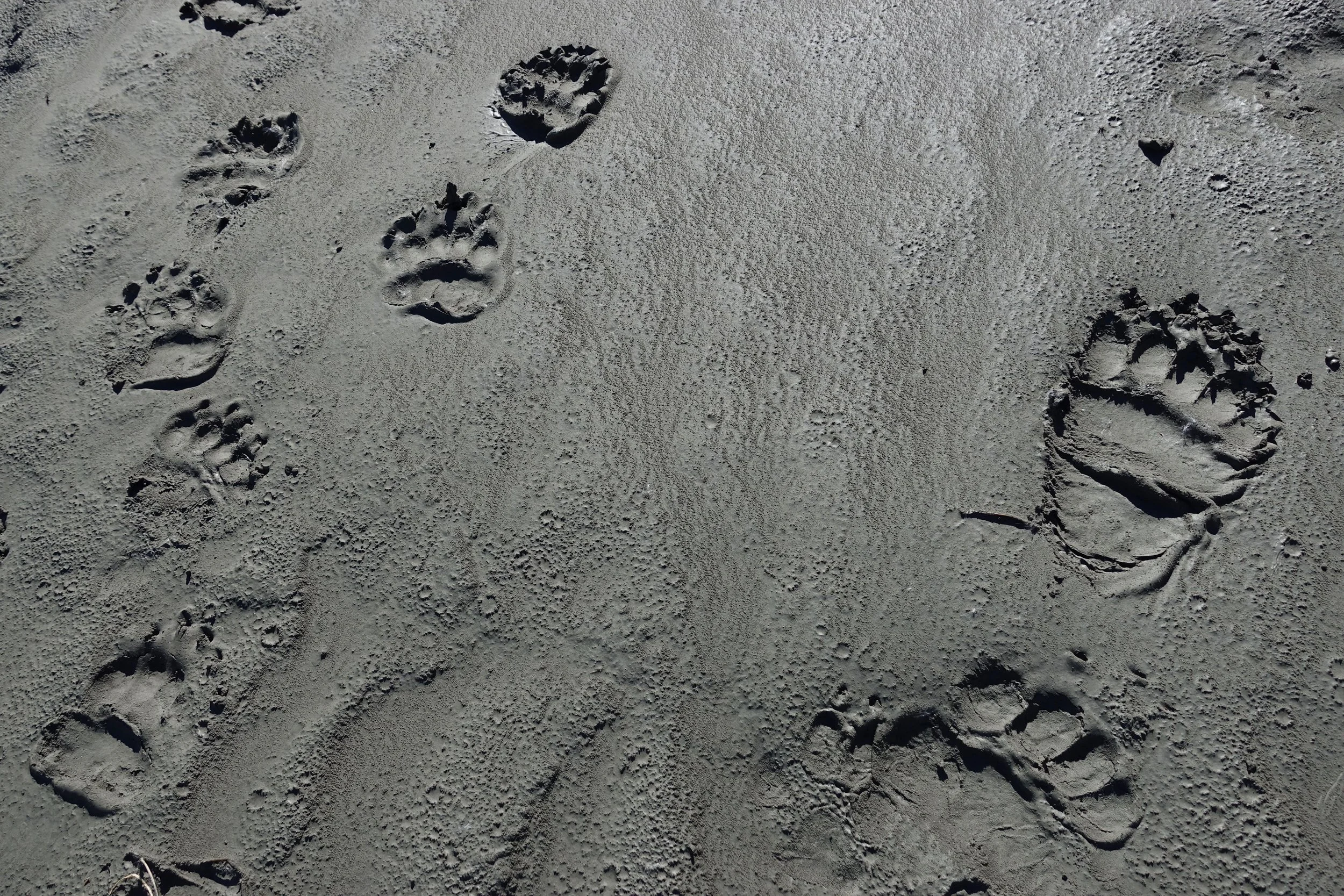
Muddy shoreline prints, a good amount of rain on the walk
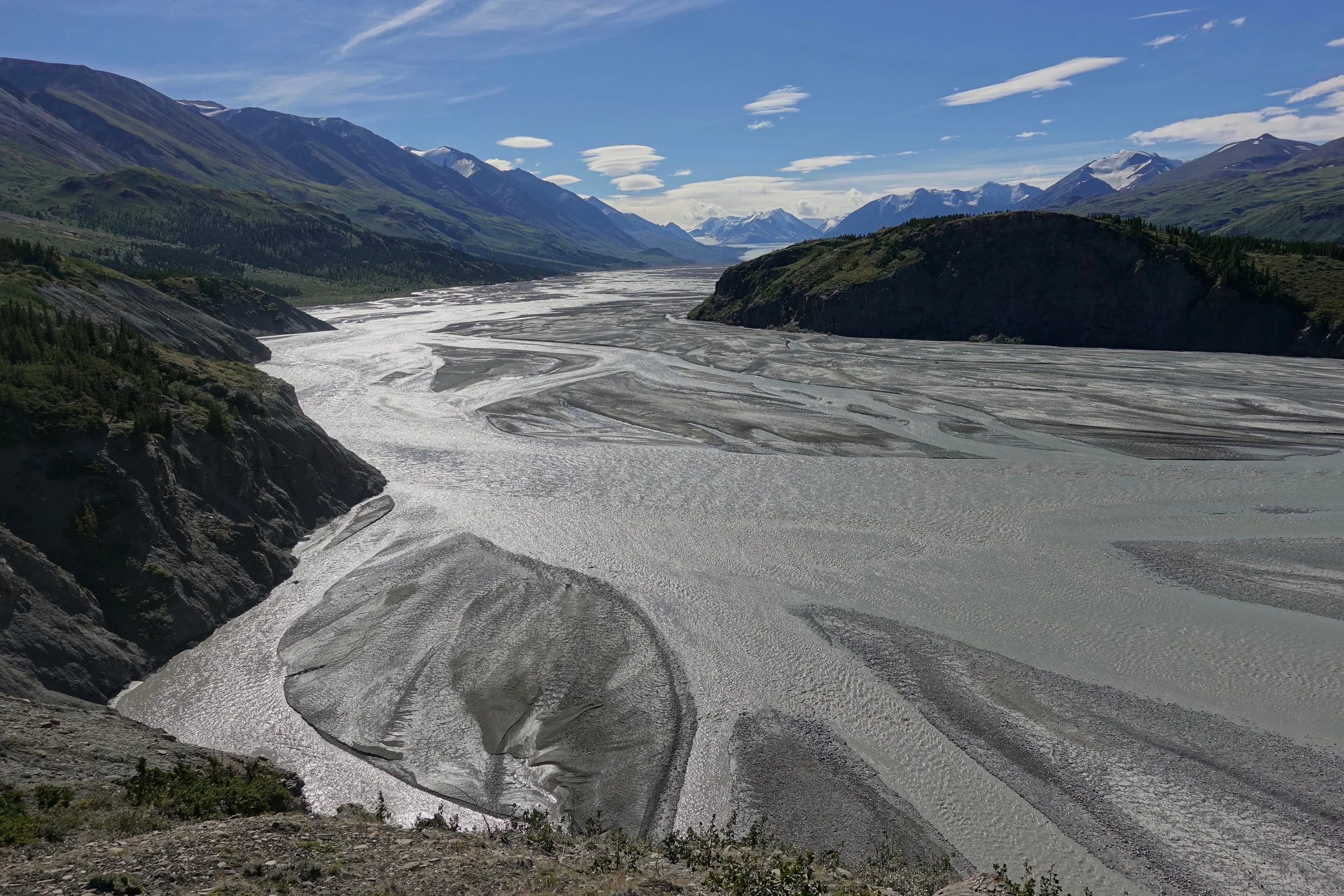
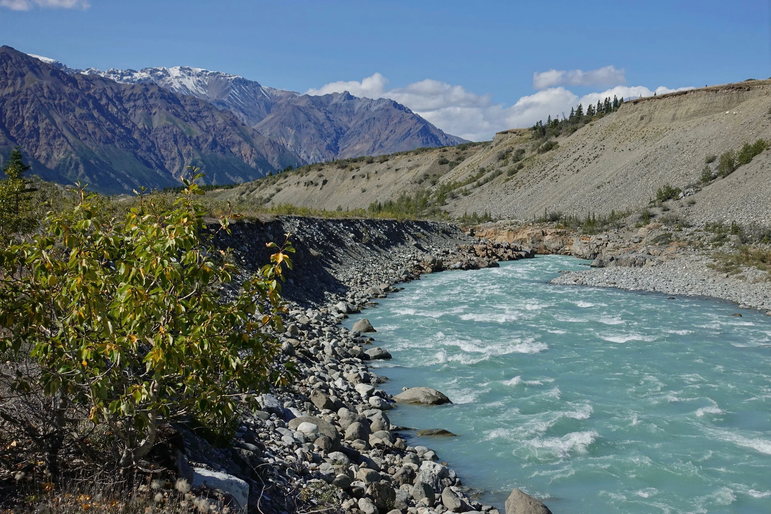
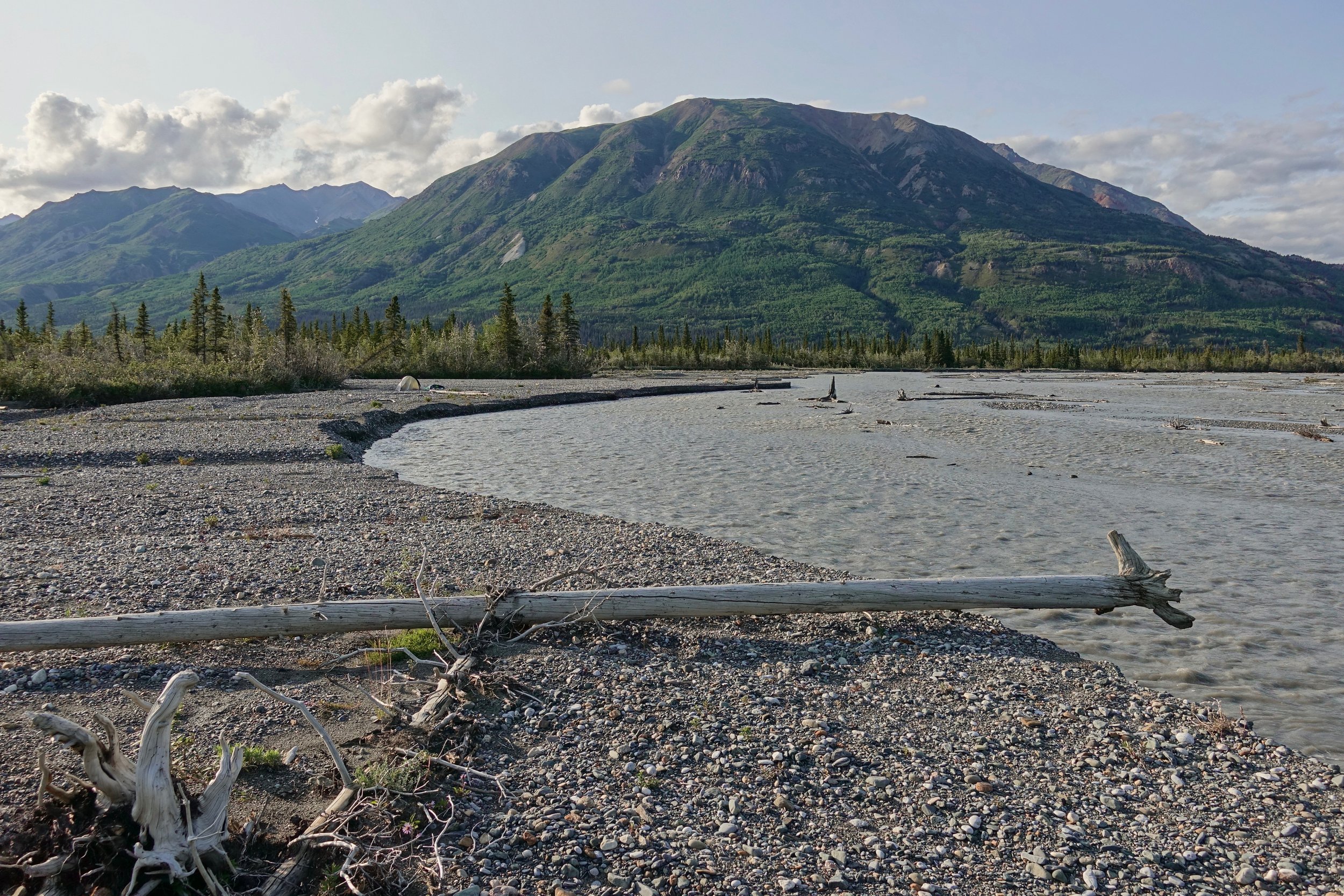
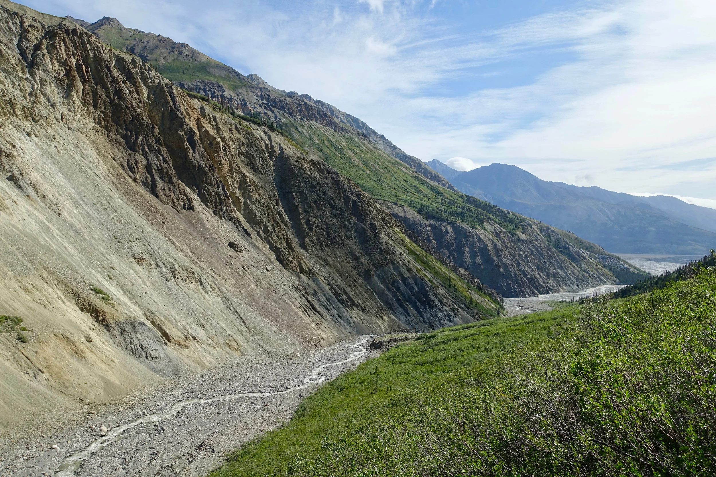
River braids of the Donjek while going upstream to the Kluane Glacier. The elevated view from the banks allowed me to scout the river ahead of time for the return trip
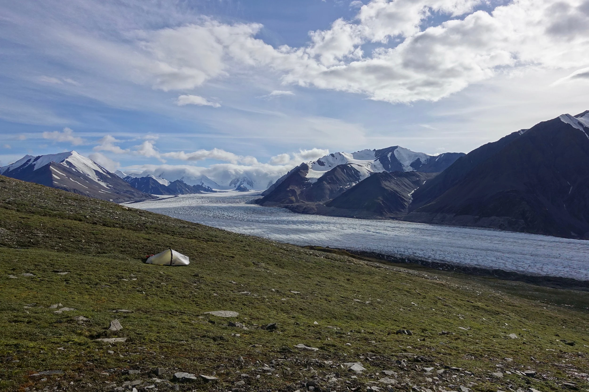
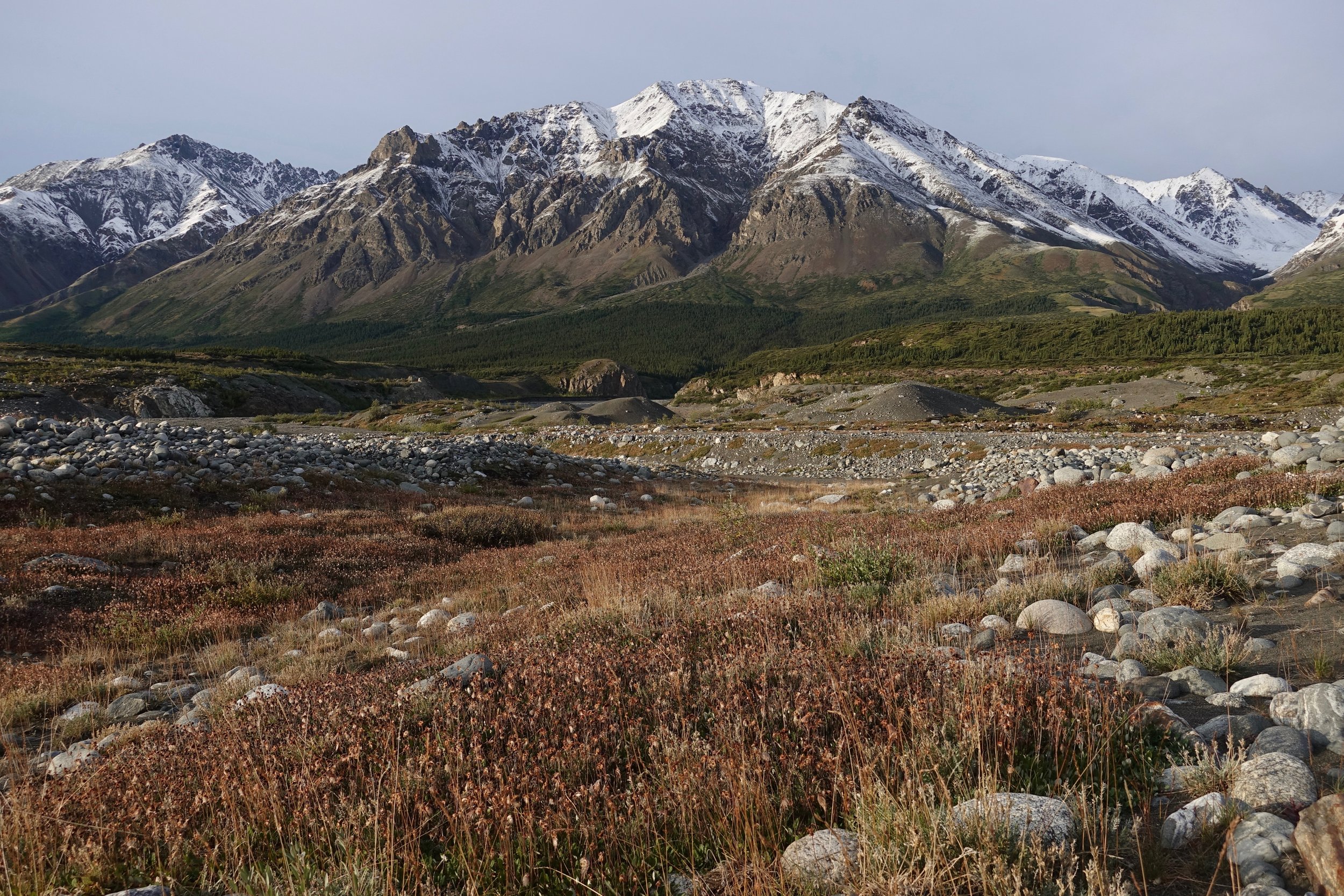
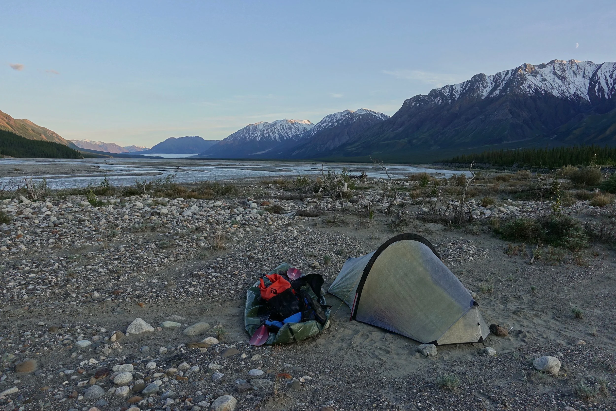
I camped high on the plateau at the end of the river
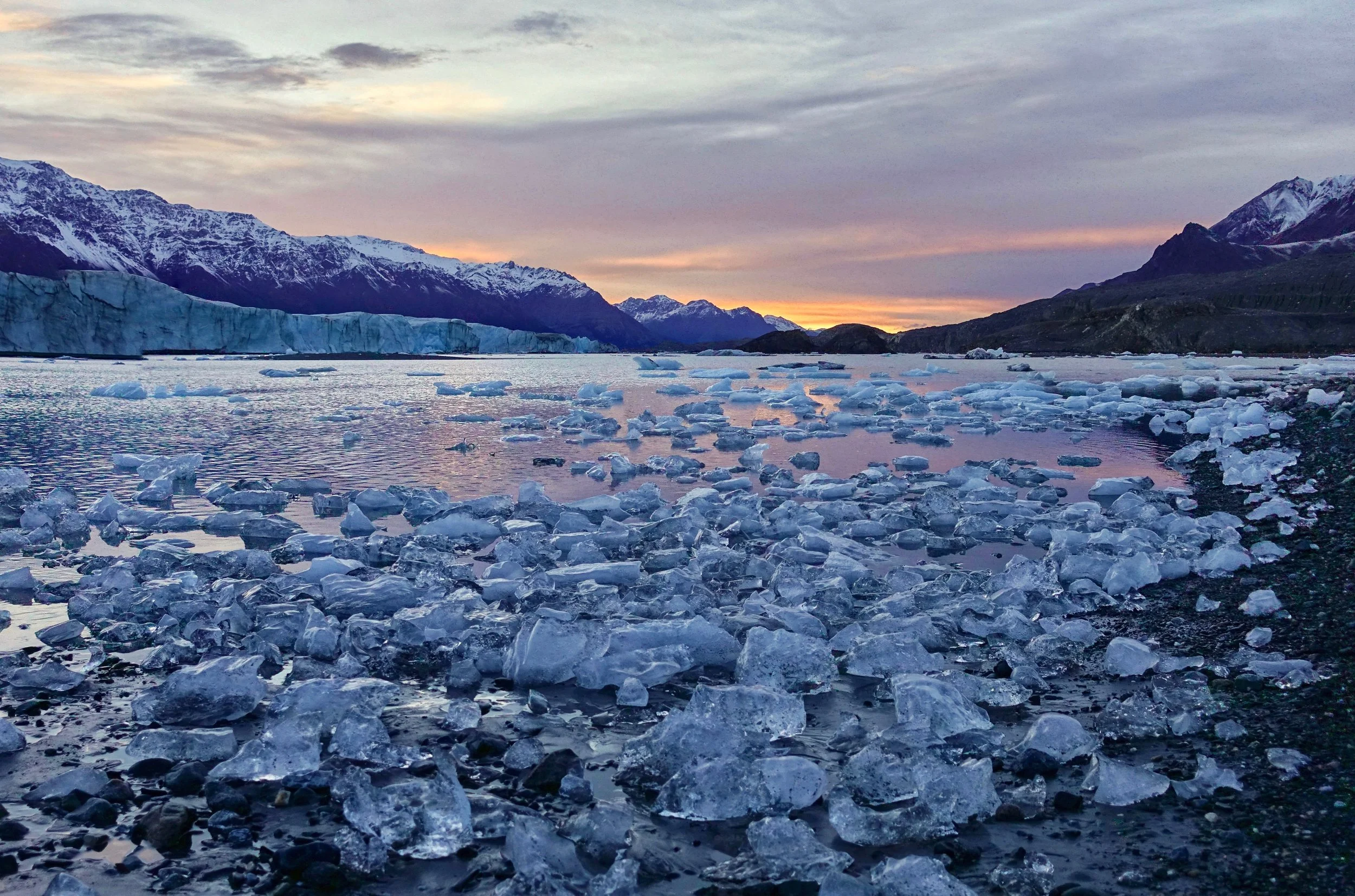
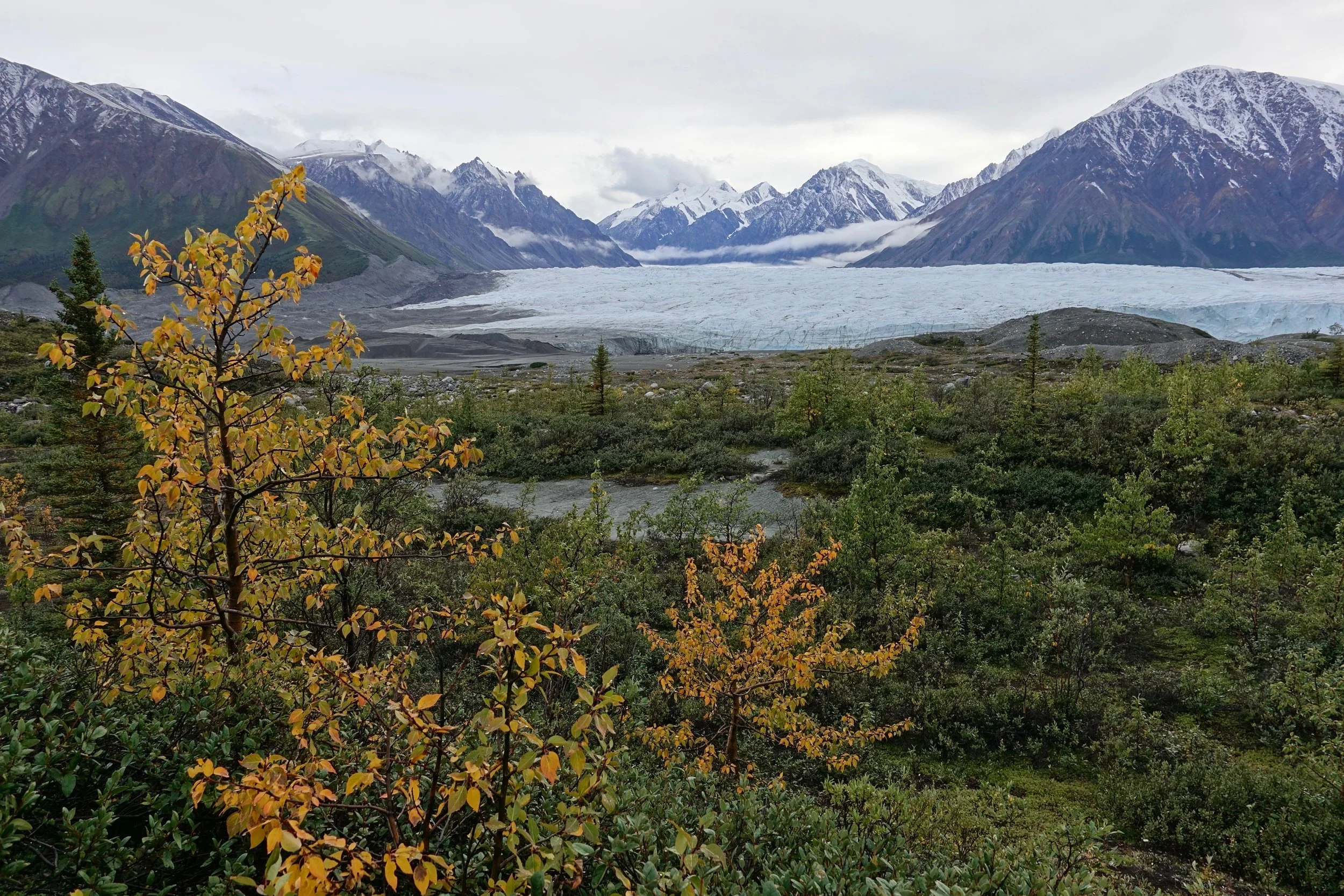
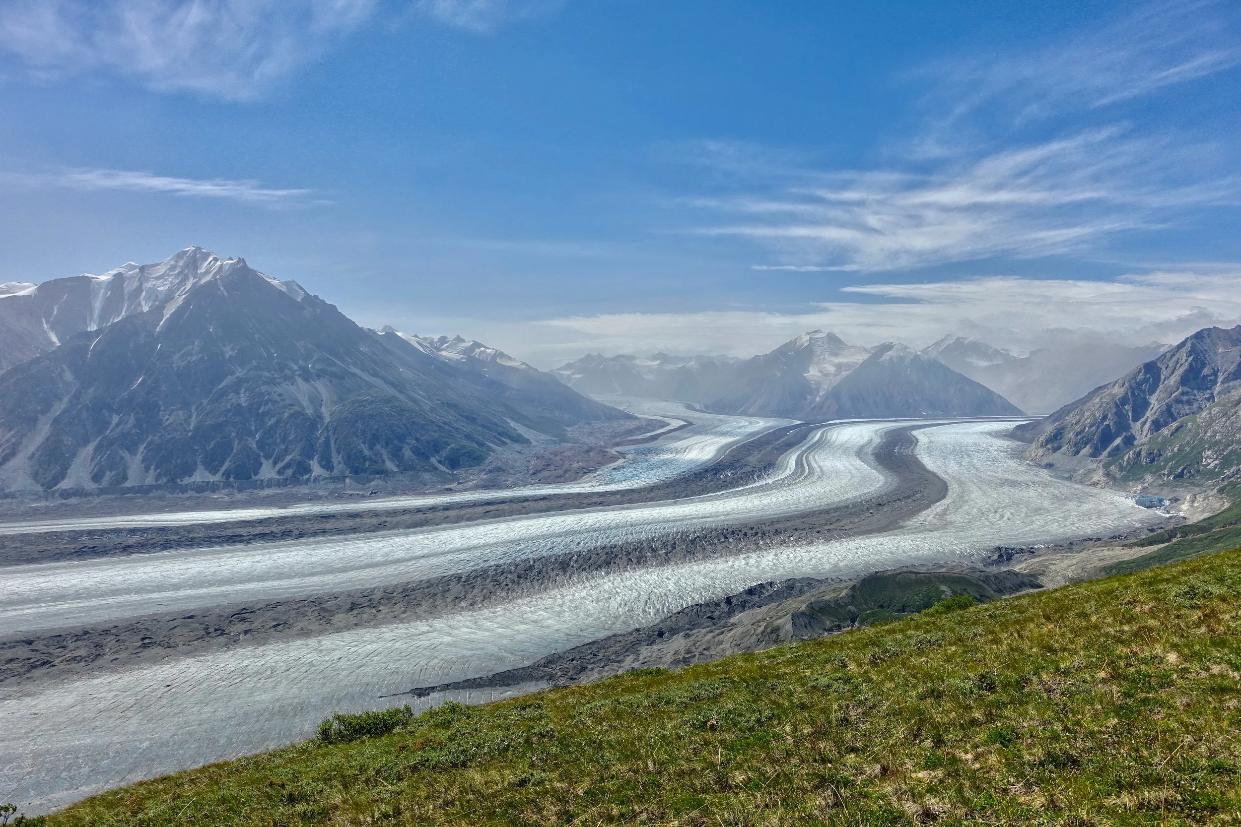
Kluane Glacier and the beginning of the Icefield Range. This plateau appears to be the most inward part of the park you can reach on foot without equipment. Glacier filled valleys for 70 miles on the other side of these peaks
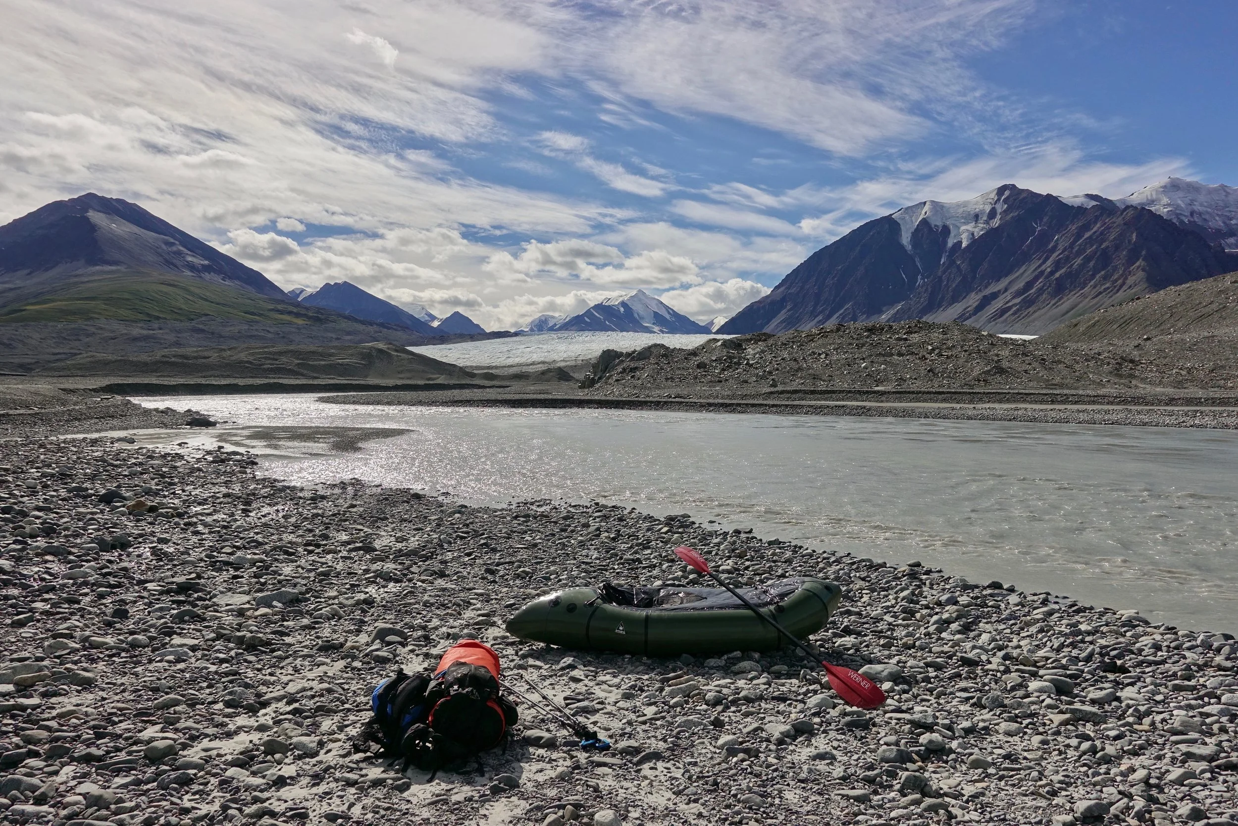
Start of the 15 miles between the glaciers. I found the muddy water difficult to read
I portaged around the canyons before and after the Donjek Glacier. The land is changing here and a class six waterfall has formed that did not exist in 2002 as described by Paul Burbidge. A canyon was starting to form outside the Kluane Glacier pool as well, but just fast water for now (2018)
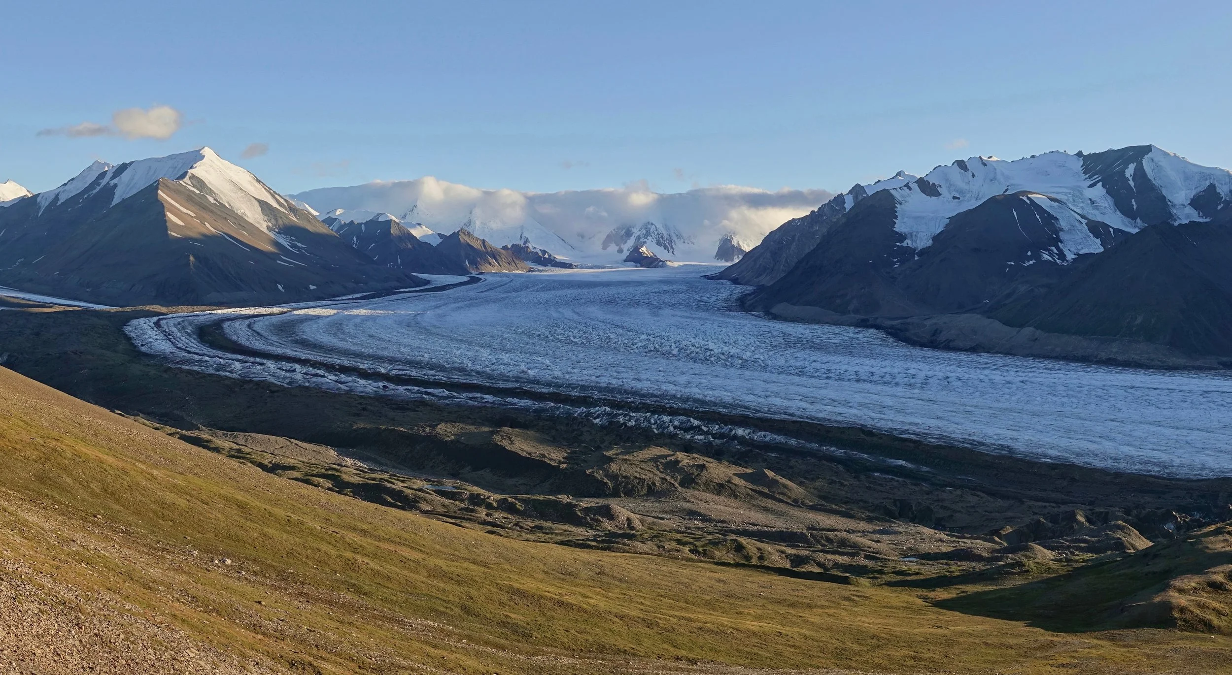
Weather cleared as I reached the glacier
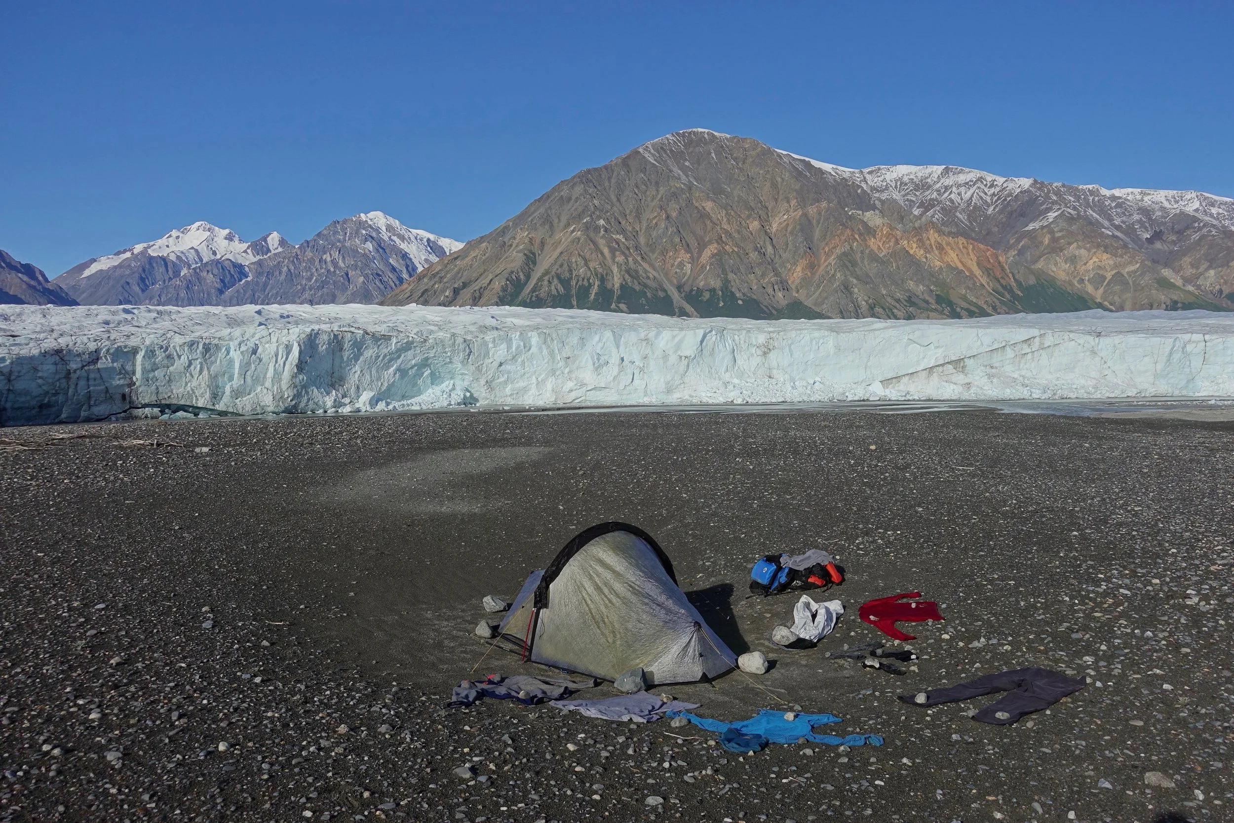
I relaxed and watched the glacier calve in the morning while drying things out from the storm. The river was high and fun as I didn't start paddling until 4pm
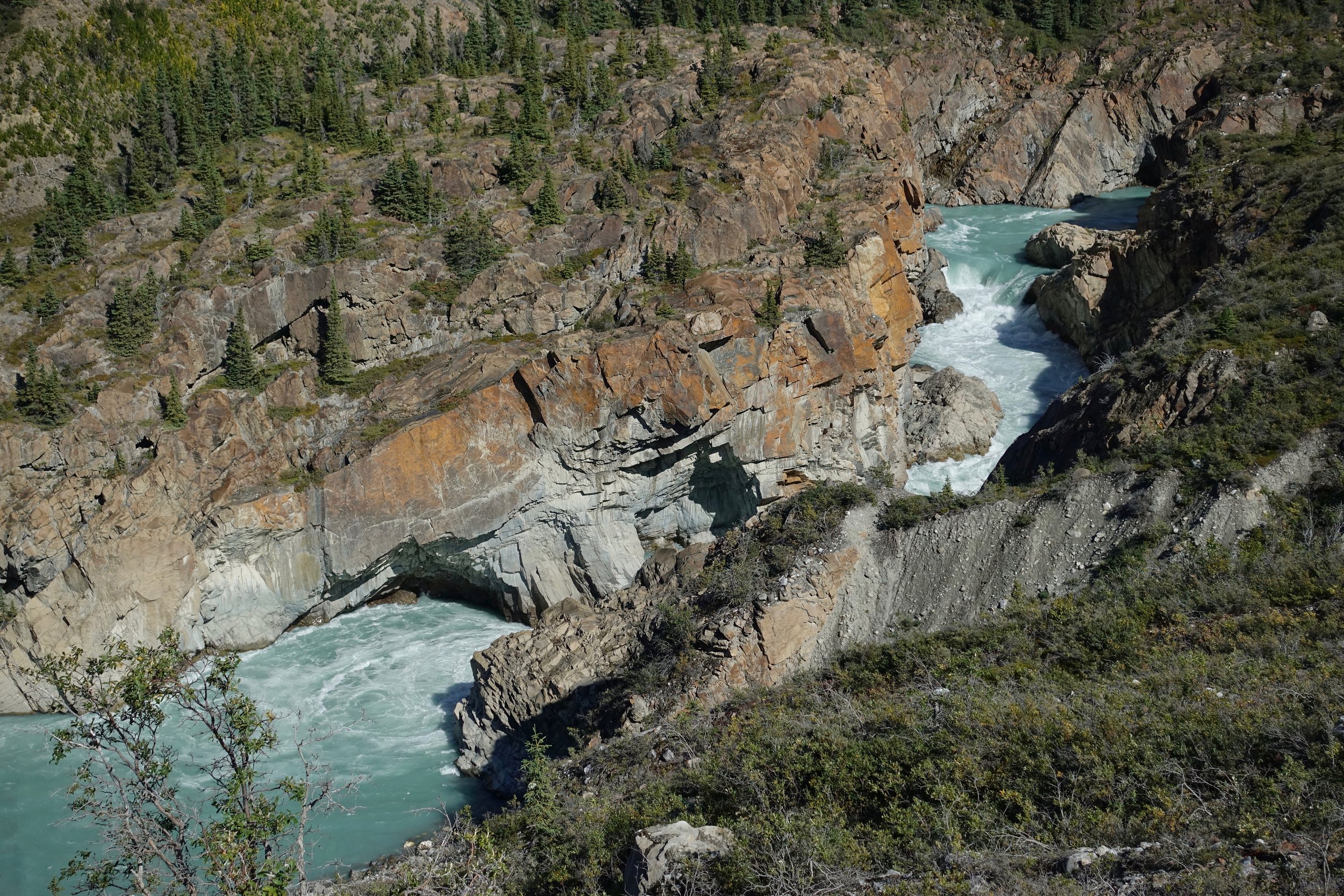
The exit canyon of the glacier, with several blind turns and fast current I kept walking not knowing where the waterfall would be..
After the major waterfall, there were two or three smaller falls at the end of the canyon
Another sunny/bluebird/warm day for the final 25 miles to the highway. The river stayed quick minus the last five miles near the highway where the number of sweepers increased in the slower water
Slims East to Kaskawulsh Packraft
I returned to Kluane in 2019 and walked up Slims East with the packraft to run the Kaskawulsh river for 30 miles back to Haines Junction

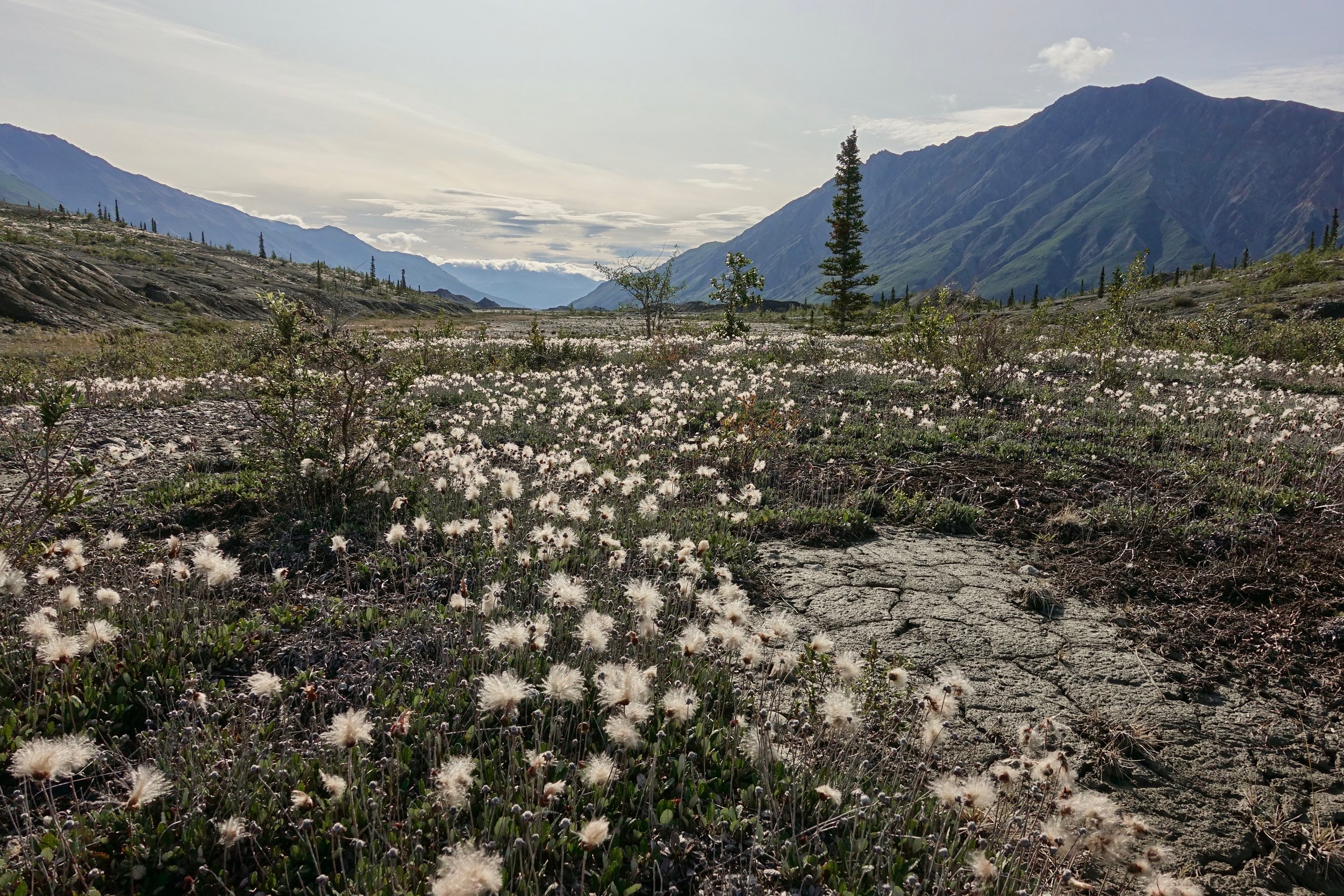
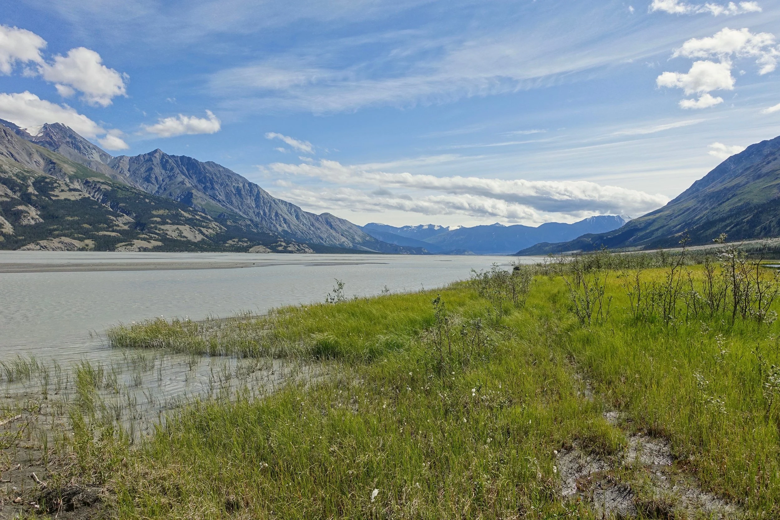
Slims East was a slog for the first six miles until reaching a lake, where the river valley becomes mostly dry and easy to walk
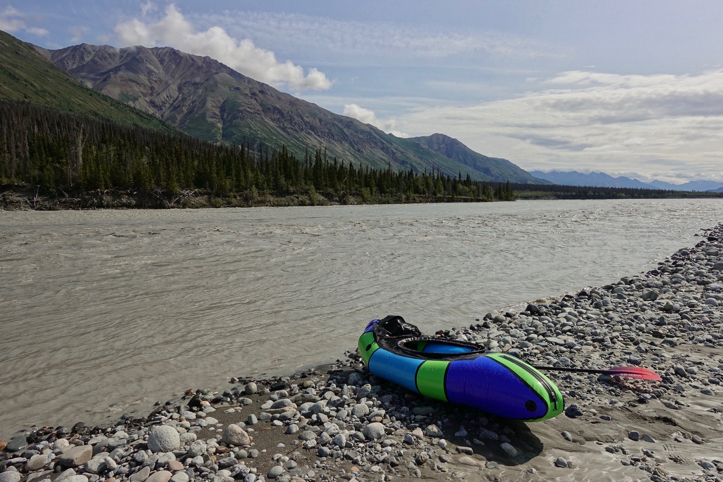
The Kaskawulsh was high in July with little chance of getting stuck even when choosing a side channel. There were a few small rapids closer to the Alsek where the river becomes narrow
The first part of the Kaskawulsh is a special protection zone so reaching the Jarvis is necessary to camp. The parks staff will show you a map at check-in. The Jarvis was silty but there were two freshwater streams not far beyond it
Slims River West
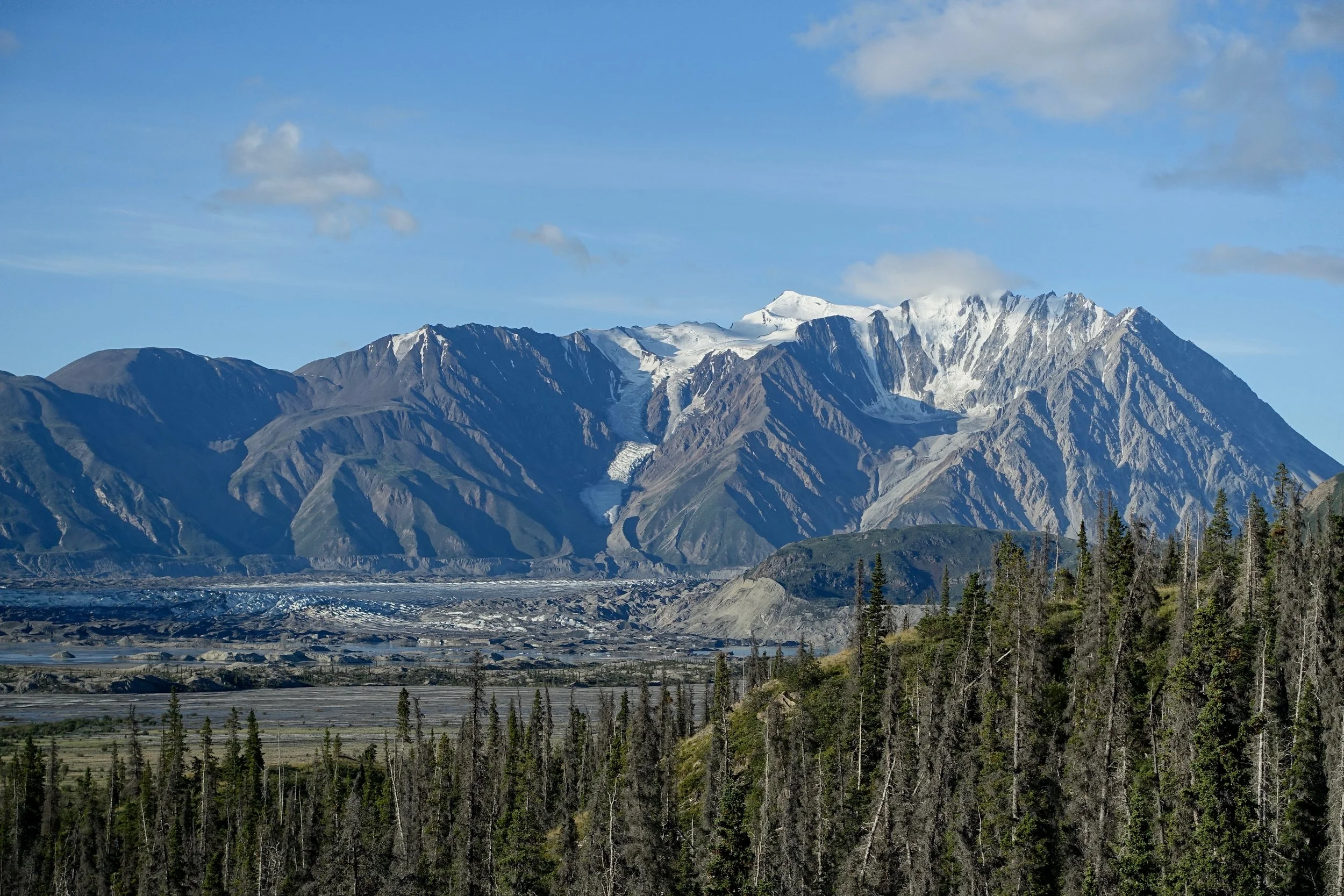
The Slims River West trail in Kluane National Park leads to the Canada Creek campground (28 miles return, 400ft gain) with a climb of Observation Mountain from the campsite to view the glacier (14 miles return, 3000ft gain)
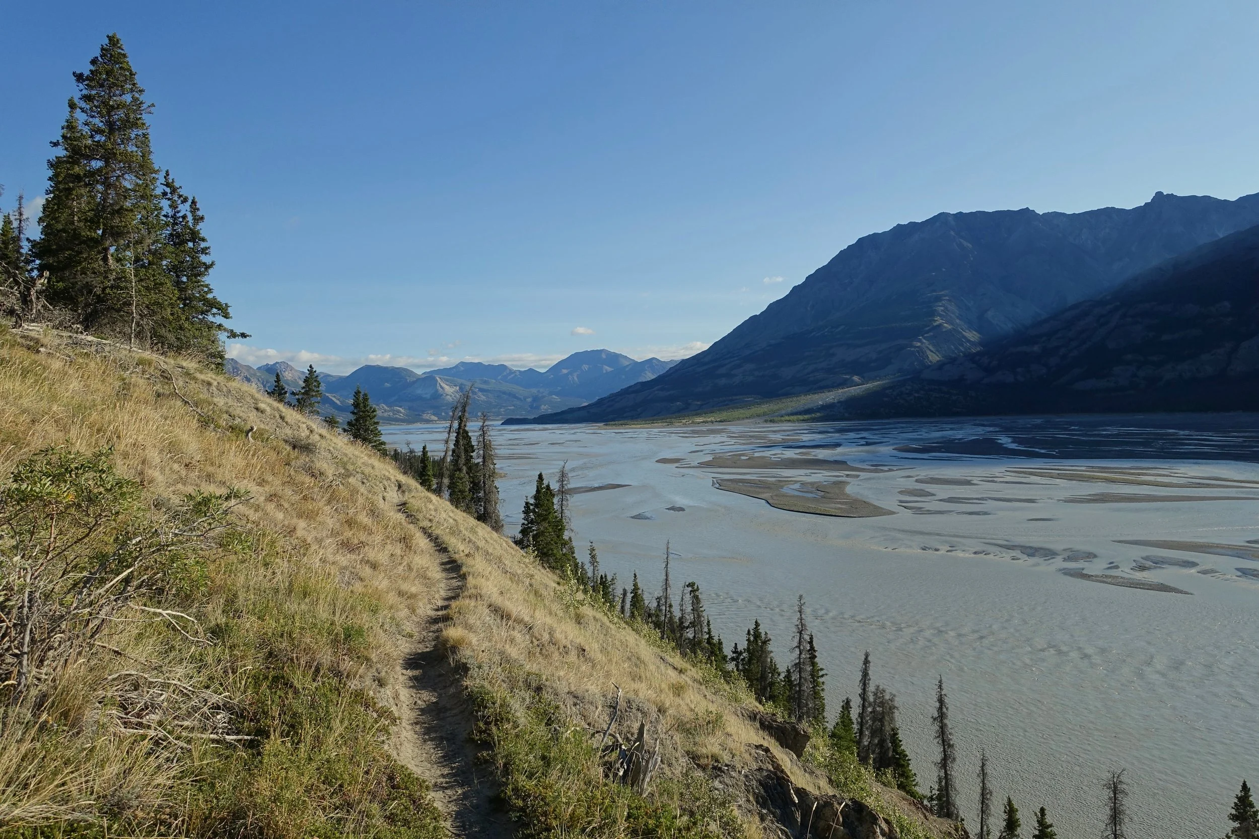
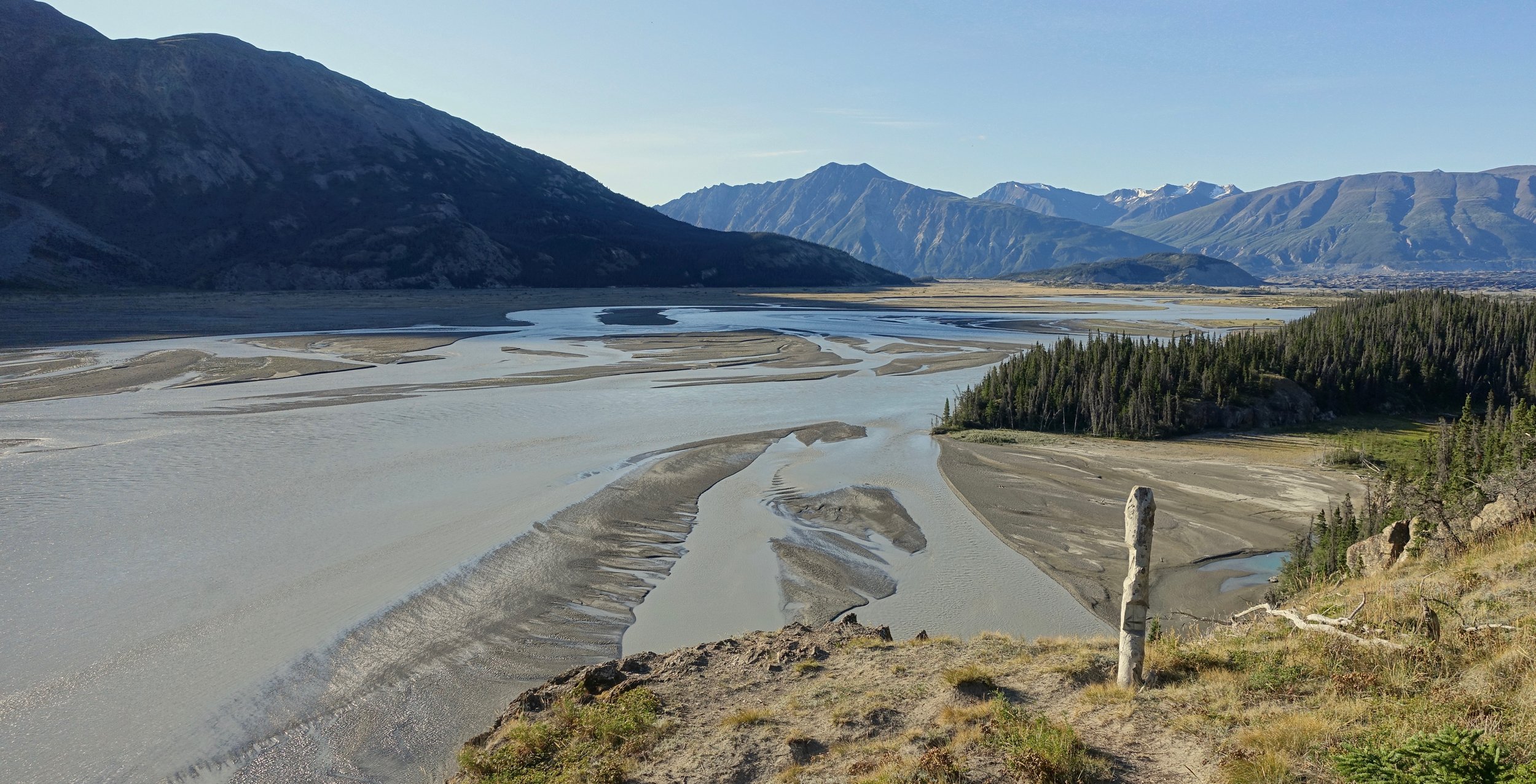
The path climbs above the river at 20km. Worth noting that the Slims River no longer exists. The photos here were taken before the shift in the water flow in 2015
Mount Maxwell at the campground
There is a clear path that leads up Observation Mountain, you will have the view of Columbia Creek pictured above when on the path
The mud flats section of the hike is officially discouraged, legend goes there was a horse named "Slims" that sank into the mud here.
Check the Parks Canada website under the "Important Bulletins" section to ensure the trail is open. It can be closed periodically throughout the summer due to bear sightings.
Tombstone Territorial Park
In late August I spent five nights in the Tombstone Range walking from the Grizzly Lake trailhead to Talus Lake (25 miles return)
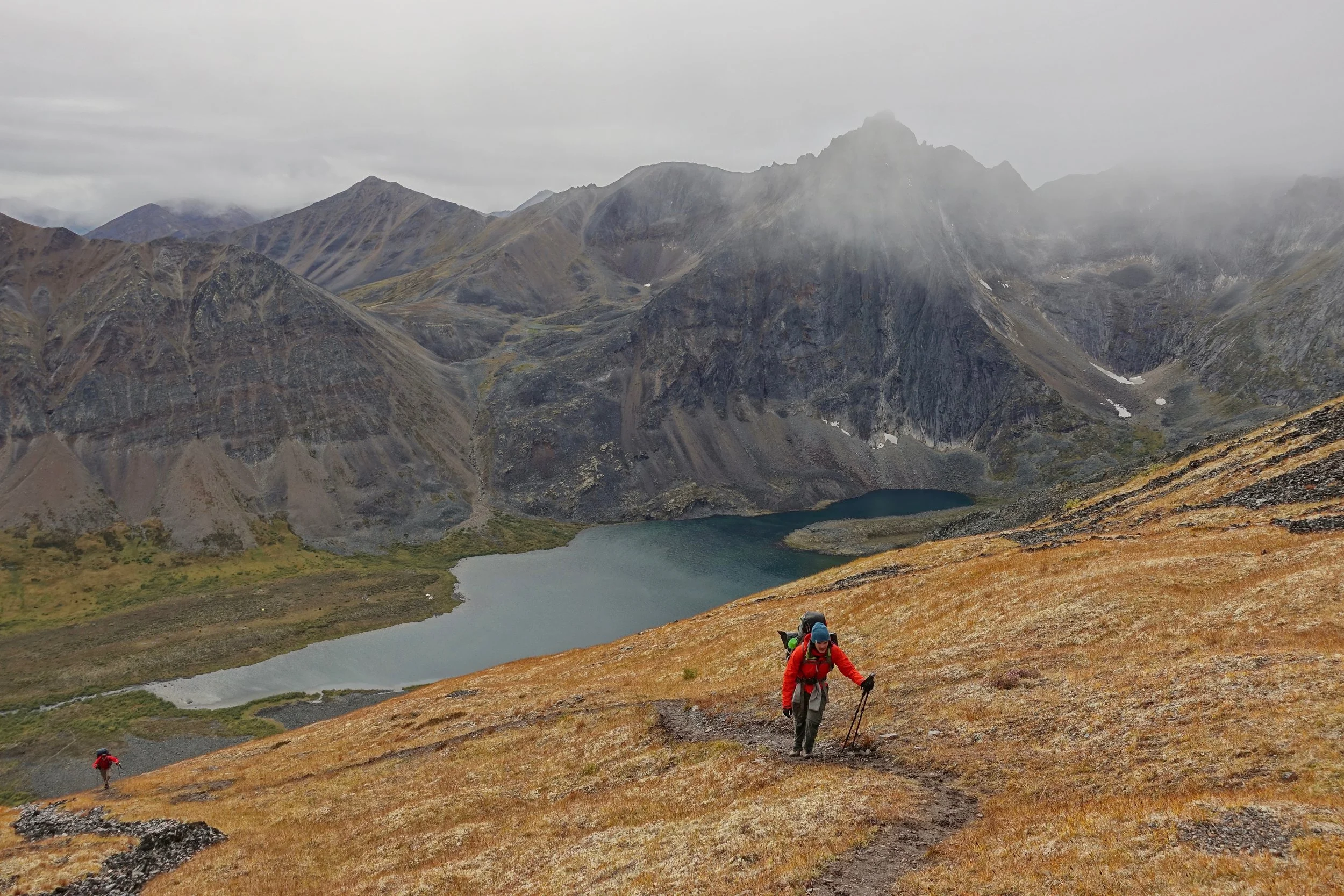
The poor weather turned Tombstone into a community walk as we spent more time in the cooking shelters and less wandering on side trips up mountains. While I was initially disappointed to see the forecast, it was just what I needed after a week alone on the Donjek
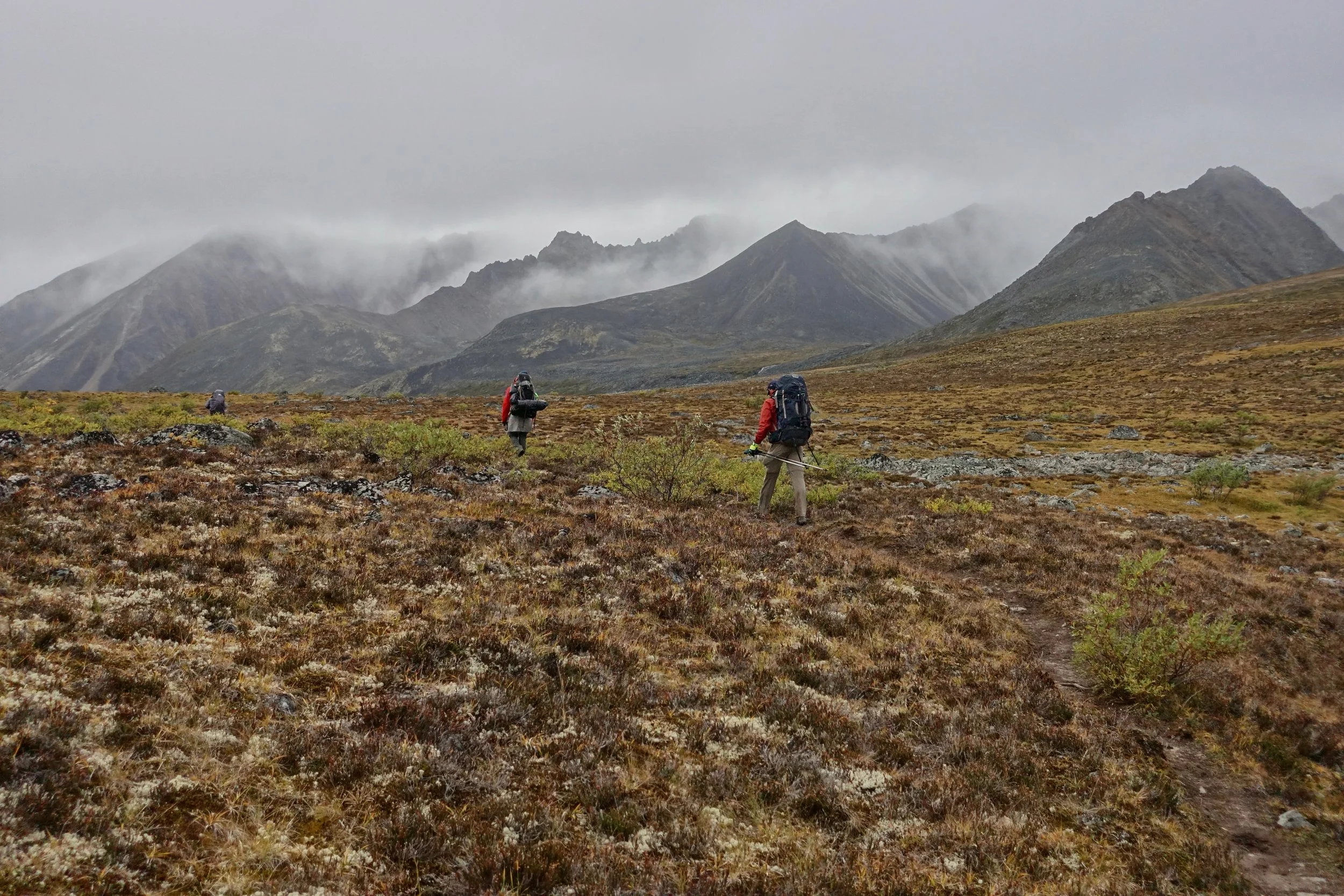
I joined Devin, Josh, and Jon on the walk from Grizzly to Talus. The others at the Grizzly camp changed their minds and returned to the car
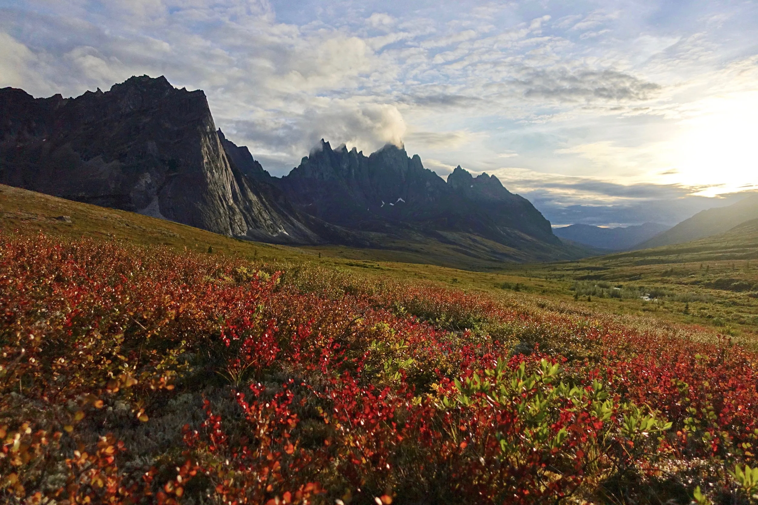
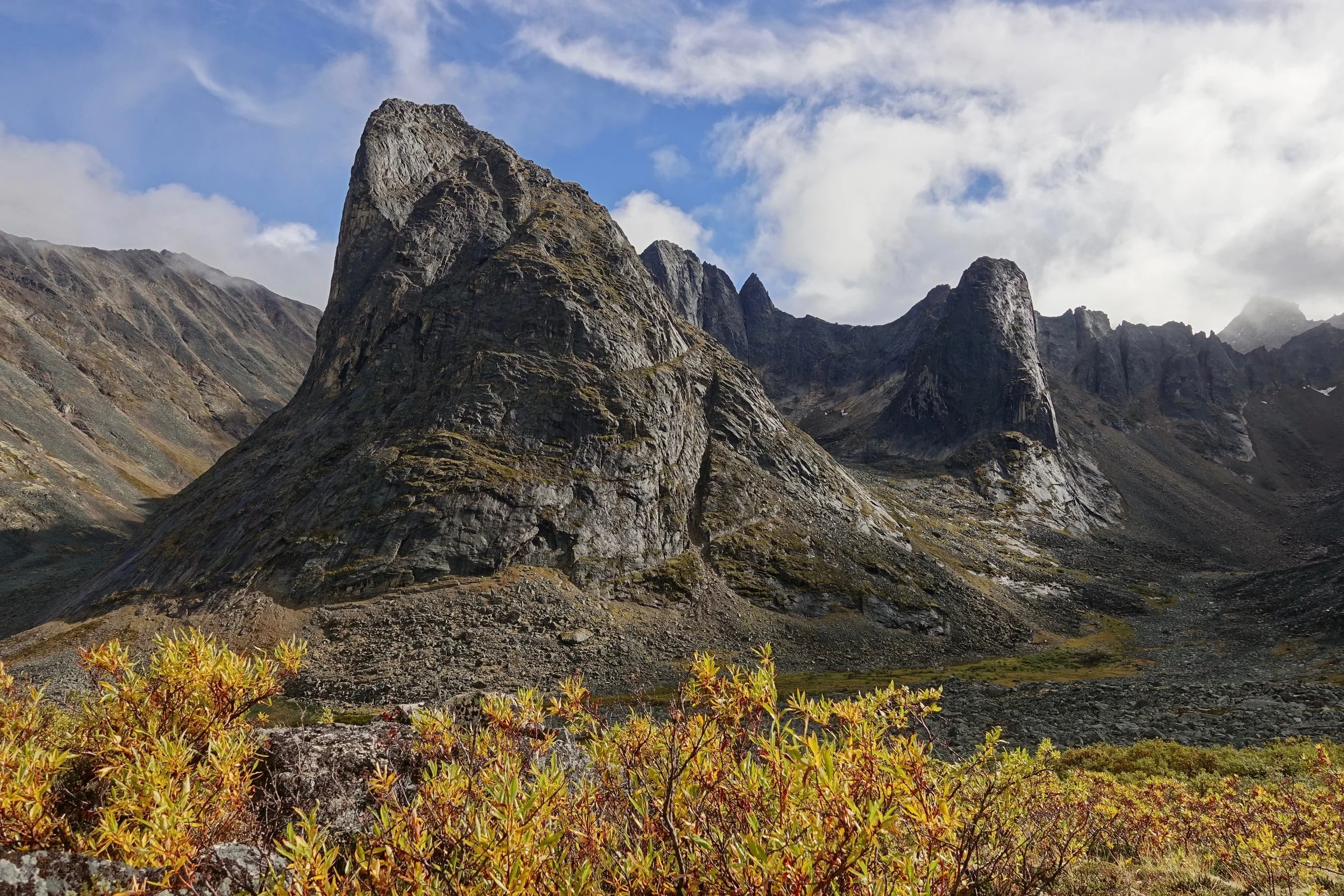
Tombstone Mountain and the beginning of the fall colors
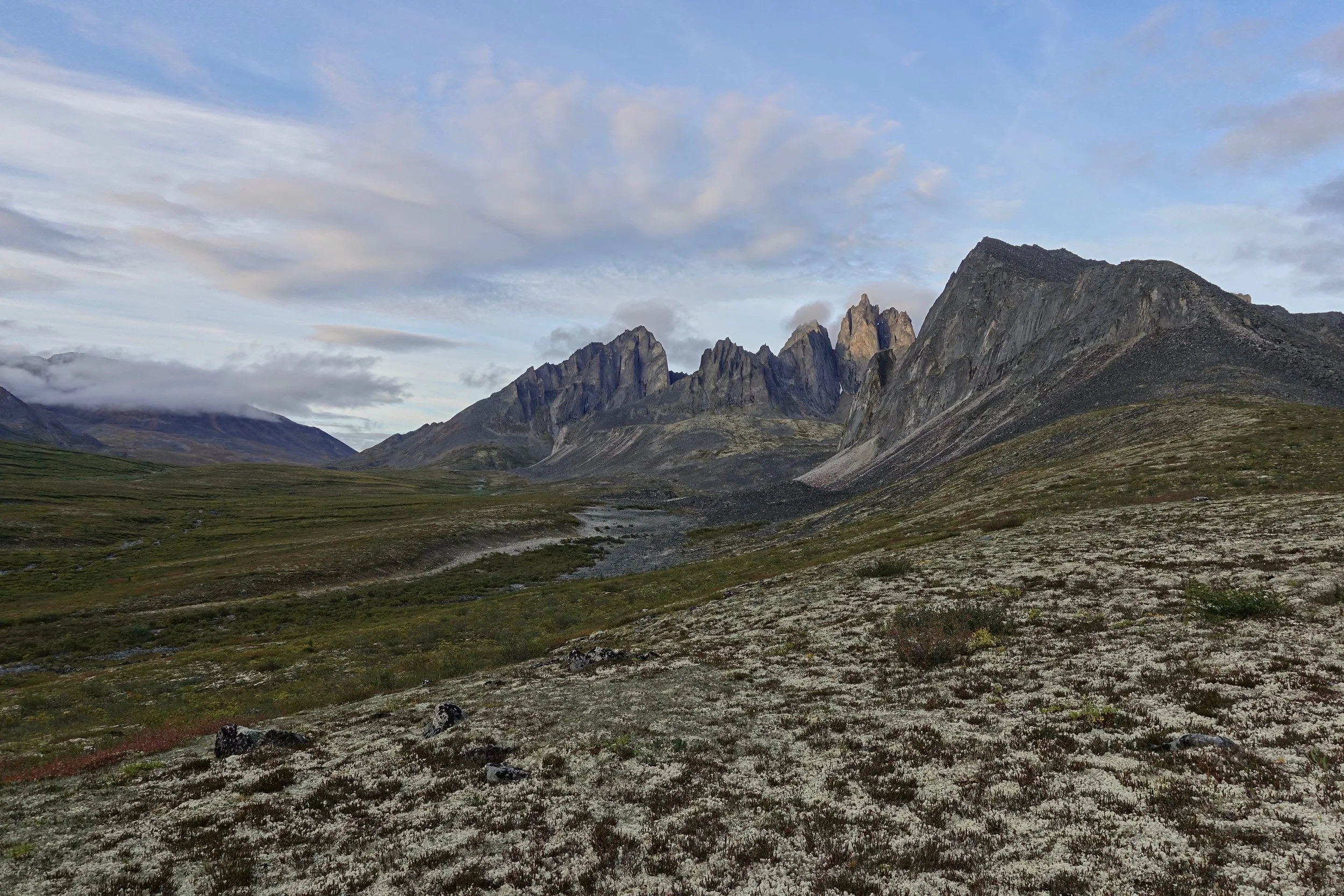
Mount Monolith
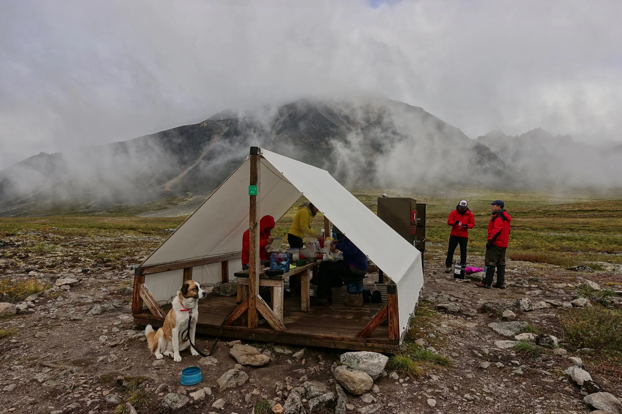
Squirrels no longer bothered us at the cooking shelter after Nootka arrived
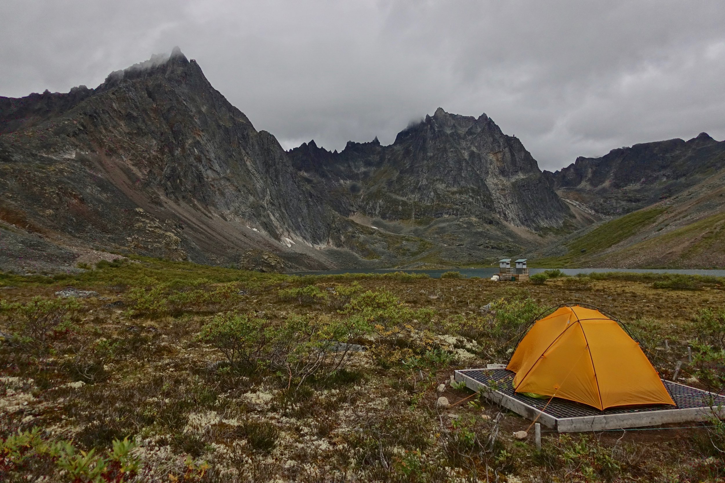
We had clear skies on the final night at Divide Lake
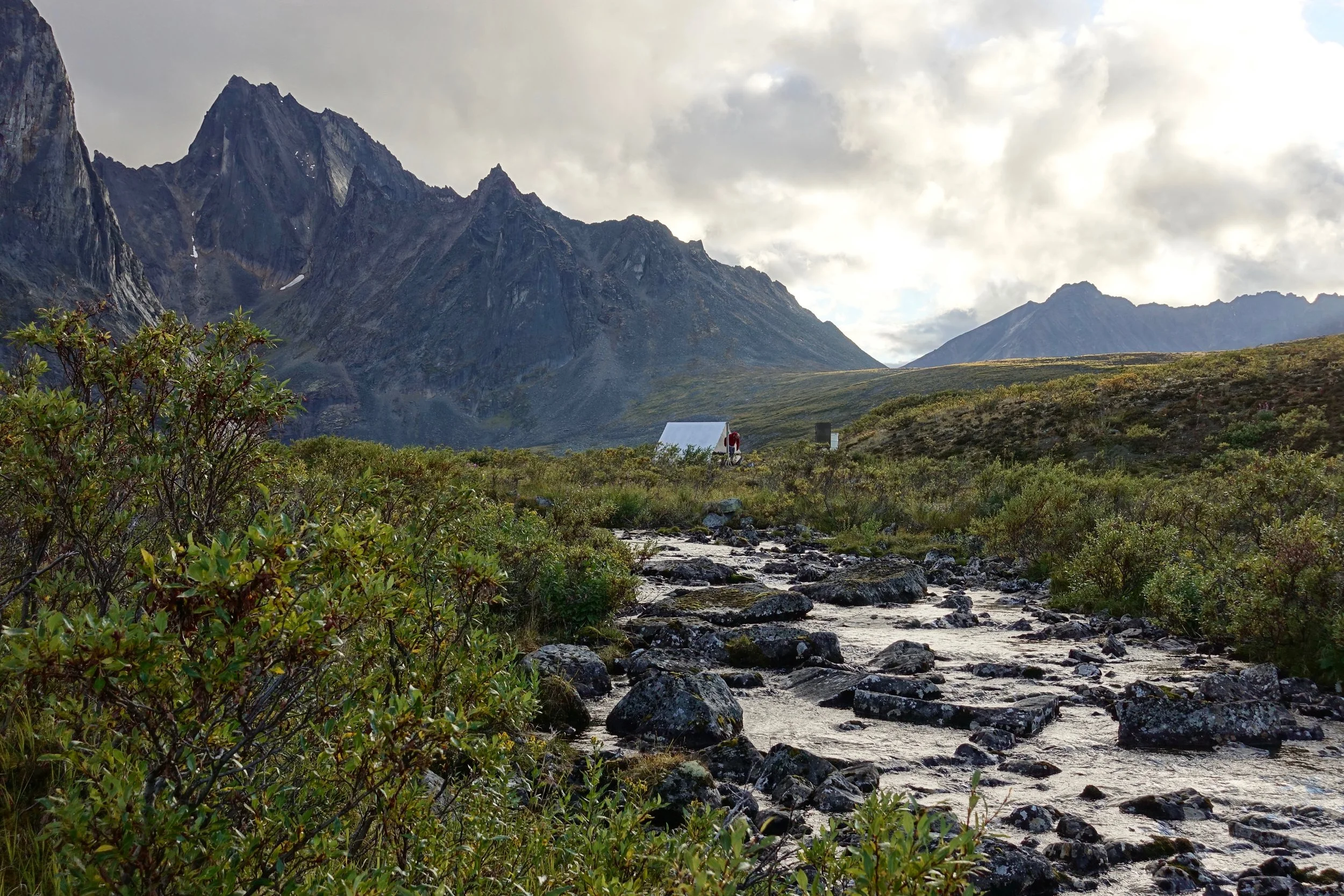
Cooking shelter at Divide Lake
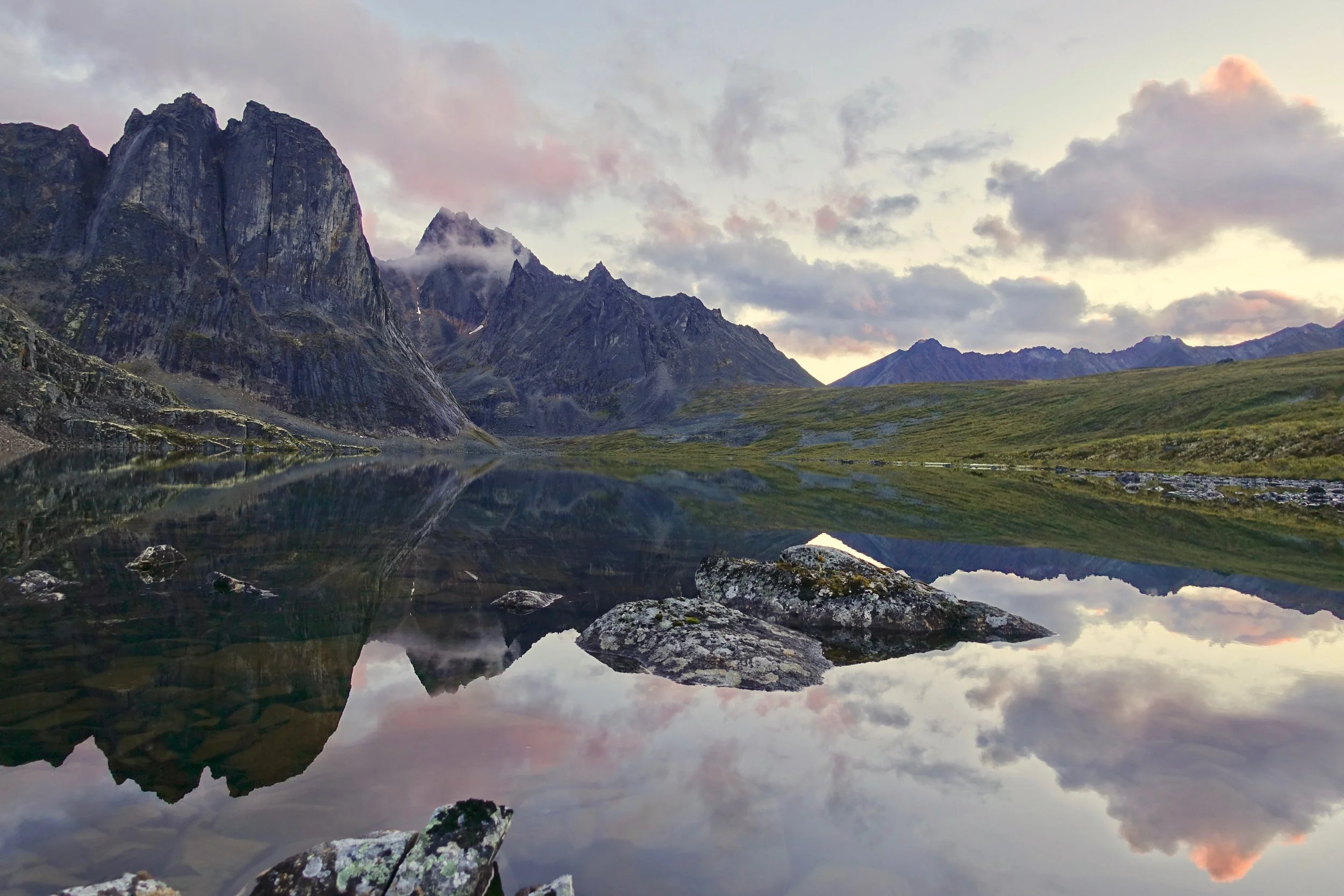
Divide Lake Reflection

I learned about backpacking with a dog on the return trip with Catalina and Nootka. They have a good relationship and walk fast together through the boulder fields and muddy slopes.
Chilkoot Trail
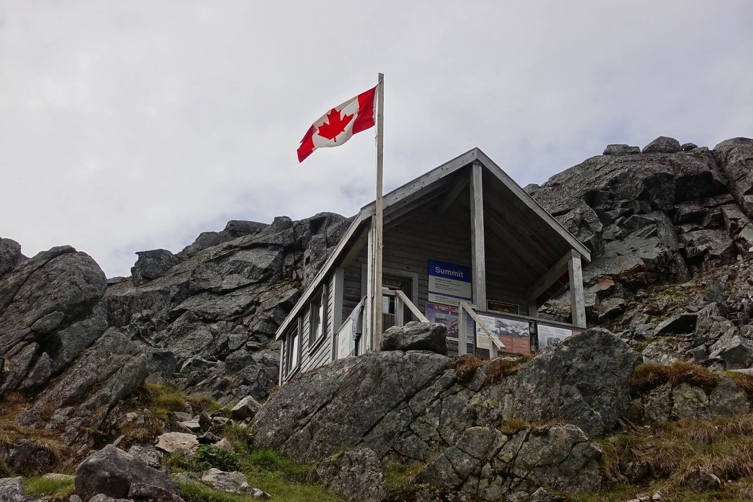
The Chilkoot trail was a route used in the Klondike gold rush of 1897 to give access to the Yukon from the coastal town of Skagway. The pass was primarily used during the winter of 1897-1898 before the railroad was constructed the following year
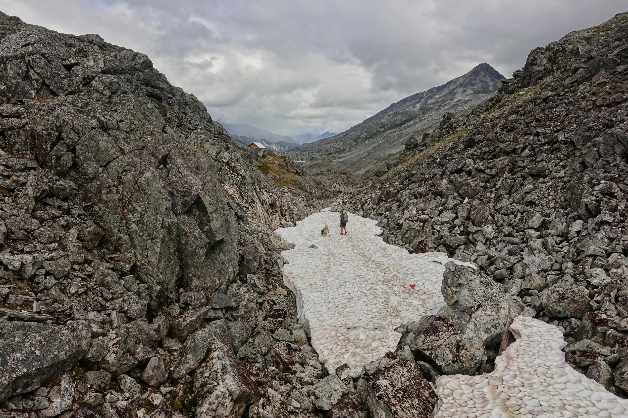
Cata and Noots joined me on the walk, all three of us enjoyed the Canadian side more as the Alaska side was mostly a walk through the forest
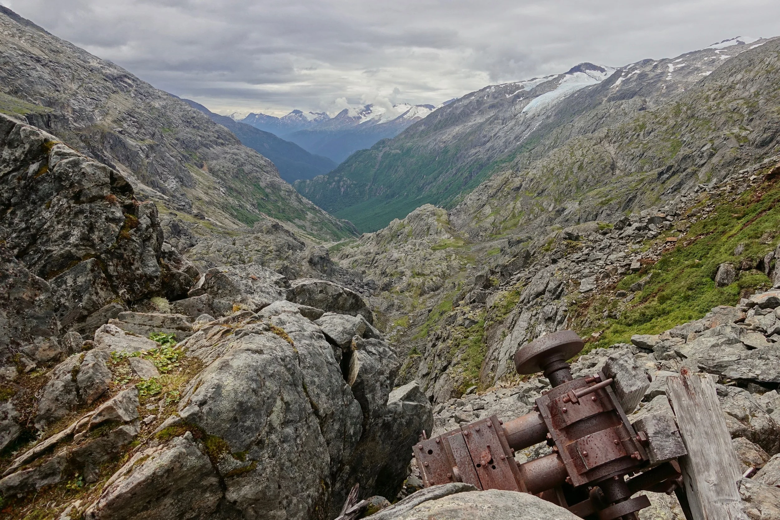
Remnants of the cable system that would help lift supplies over Chilkoot pass. Gold seekers made trips back and forth on the 30 mile trail until they had enough supplies for the 600 mile boat trip to the goldfields near Dawson
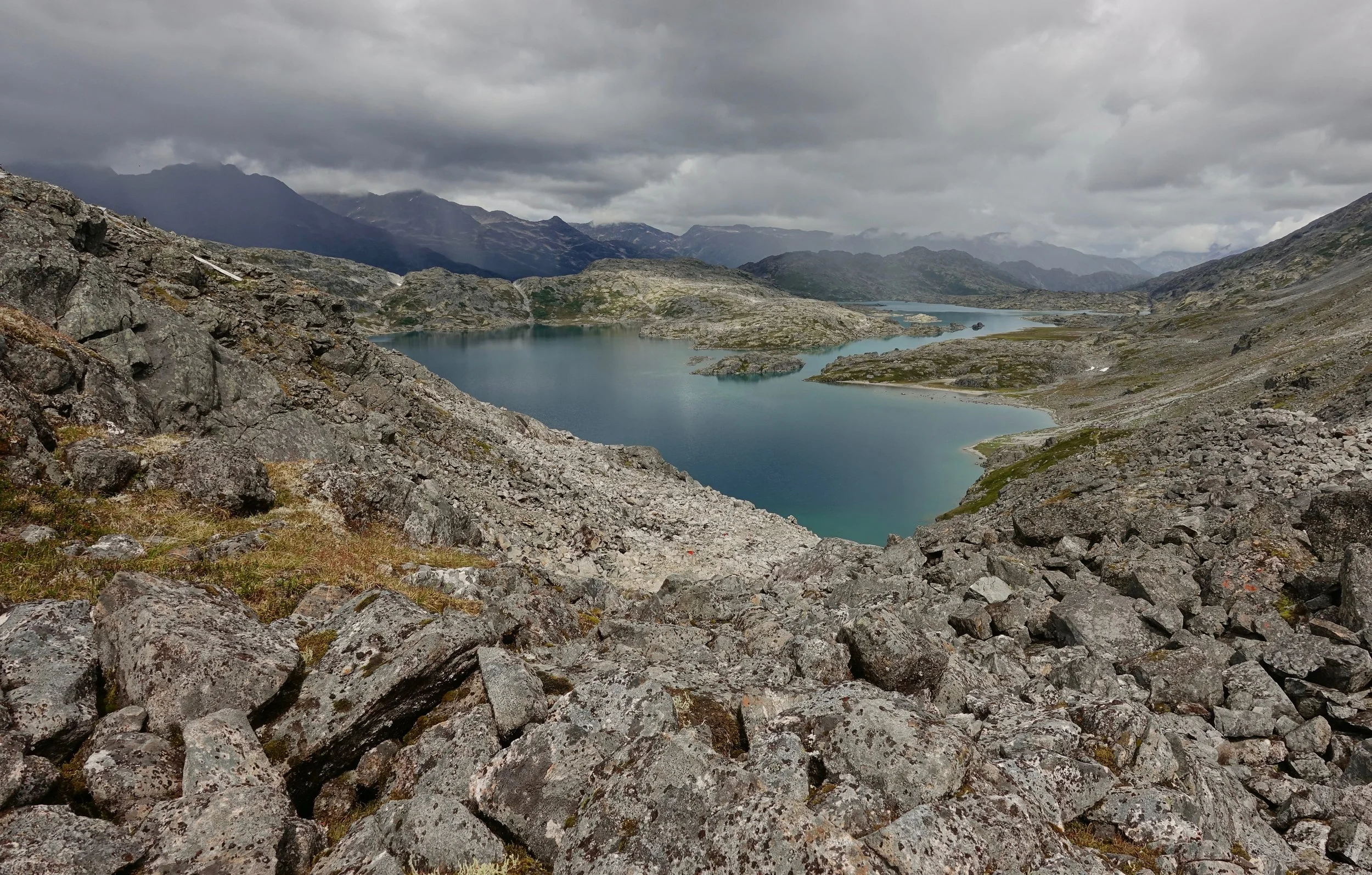
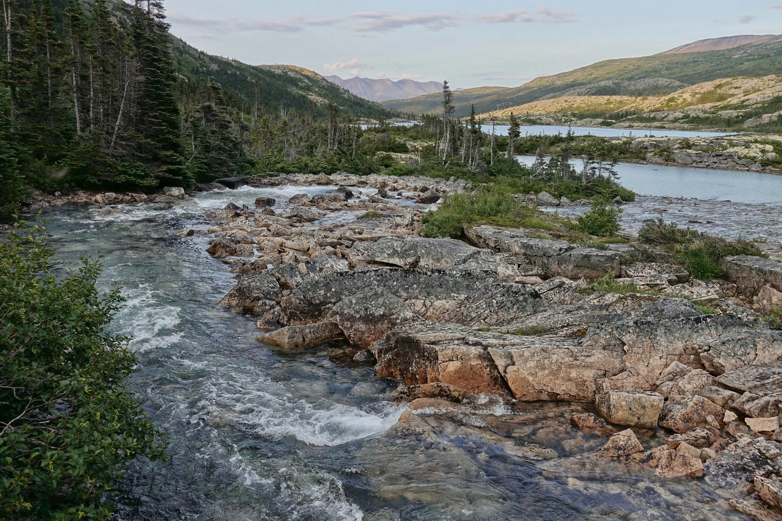
Looking down at Crater Lake from the pass
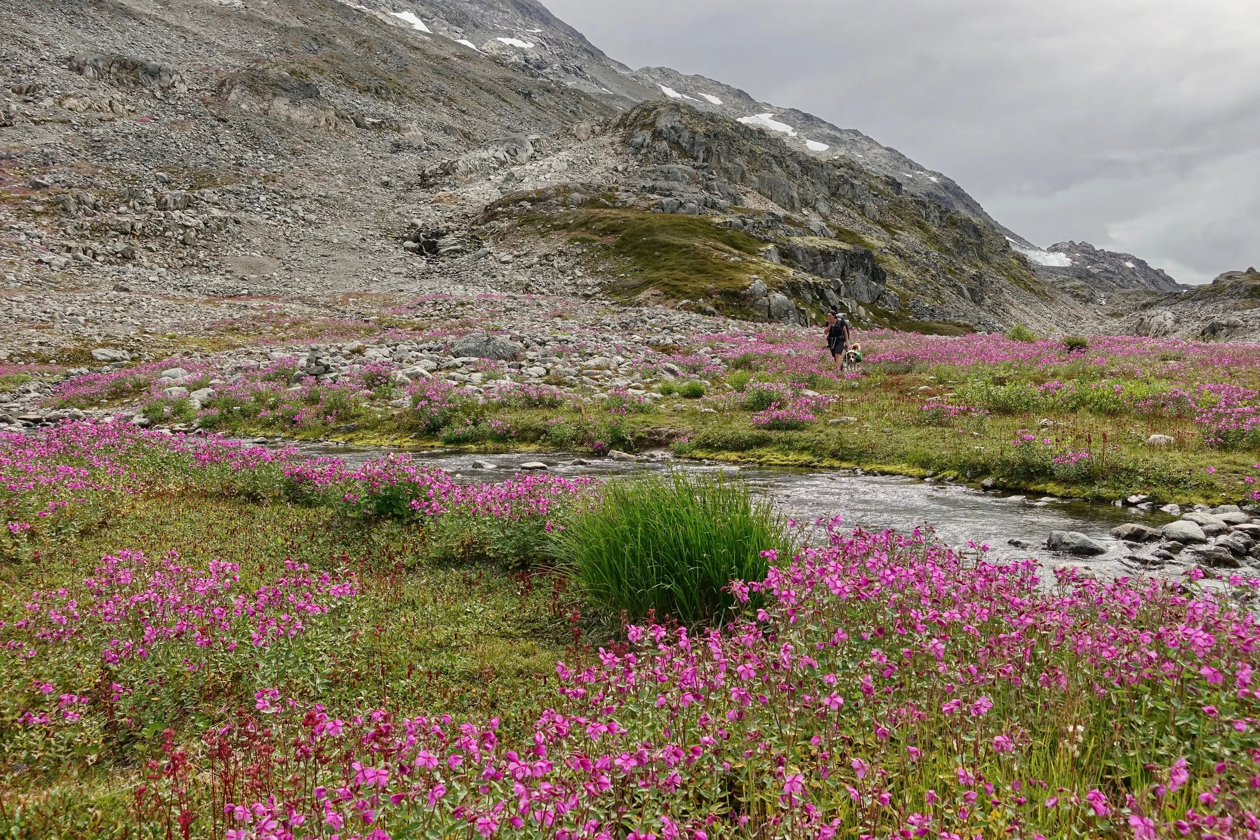
Fireweed in bloom near a river bed
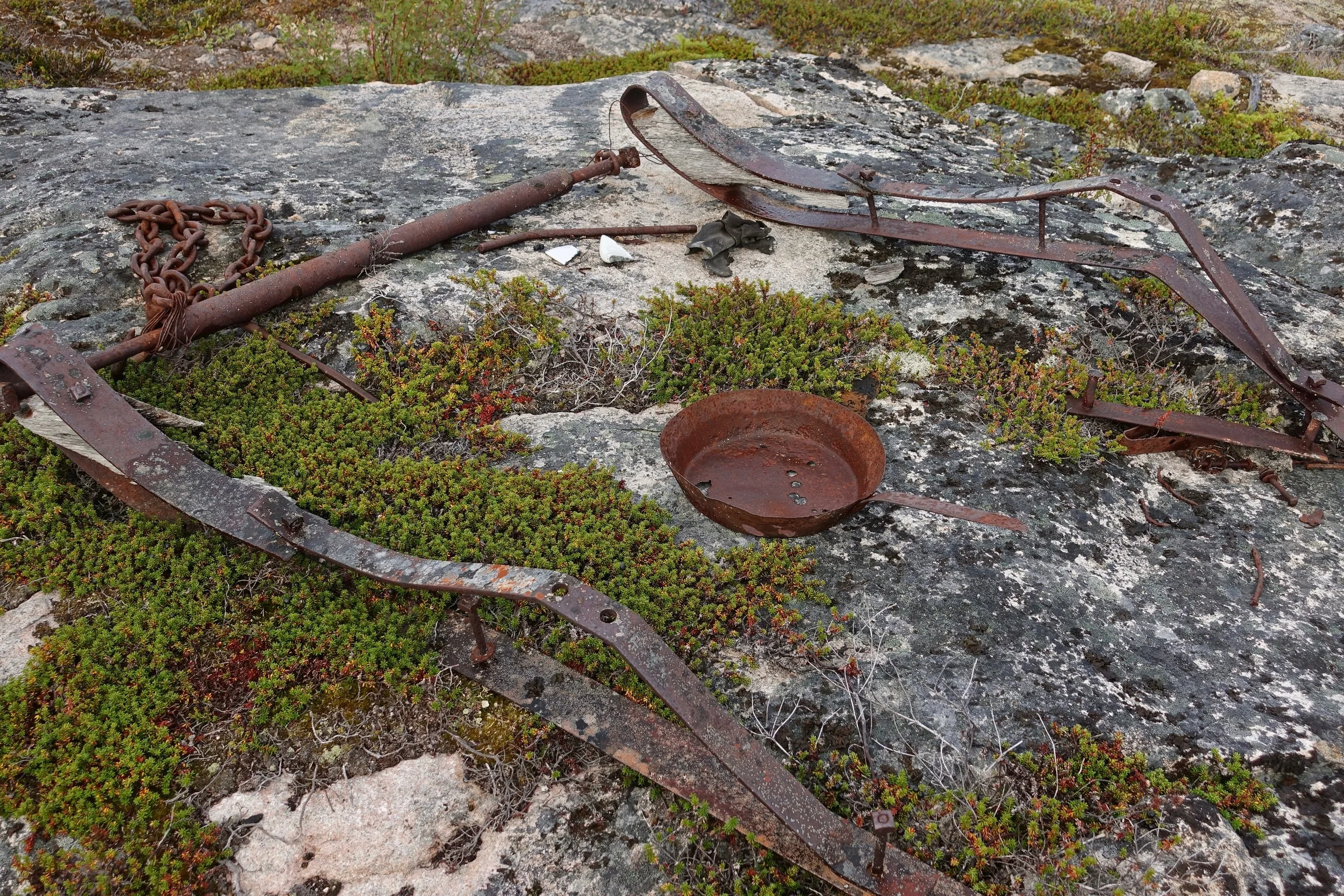
Some artifacts were likely hand placed by Parks Canada along the trail
We did the trail in three days staying at Pleasant camp and Deep Lake, avoiding the overcrowded Happy camp. If anything I would add another night on the Canada side at Bare Loon or Bennett