Colorado
Black Ridge Canyons Wilderness
Flat Tops Wilderness
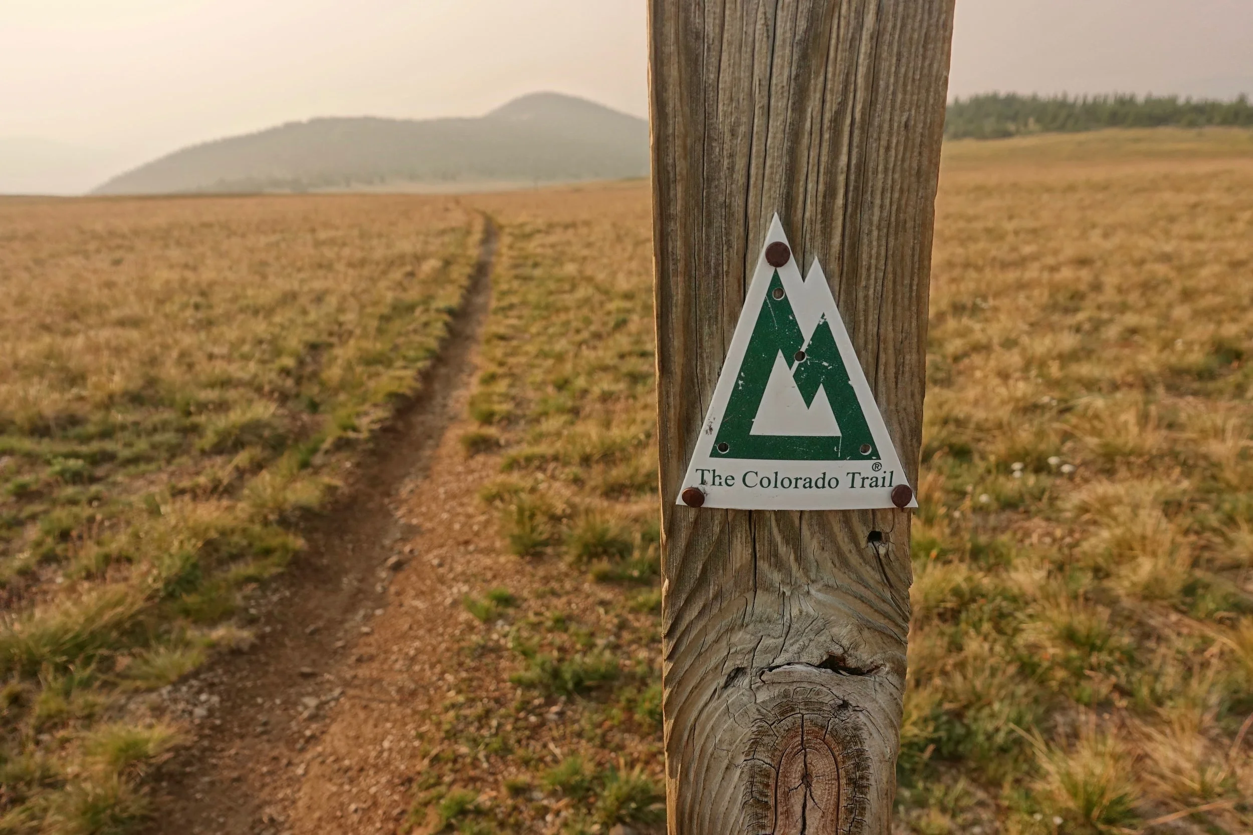
Colorado Trail
Black Ridge Canyons Wilderness
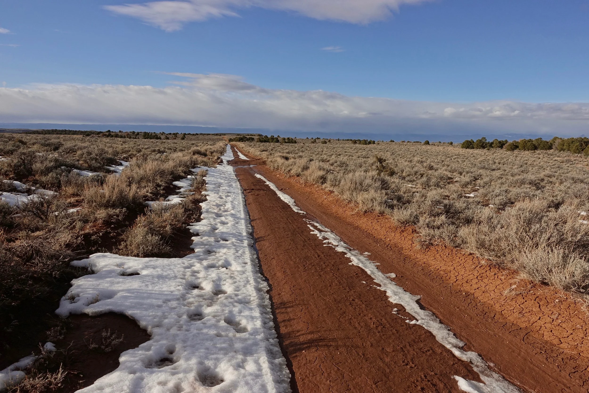
Both access roads are closed to Rattlesnake Canyon in March, an ideal time to walk the area as the roads become trails
I started in late afternoon and camped about halfway up the access road. The roads were muddy making the decision to stop for the night easy
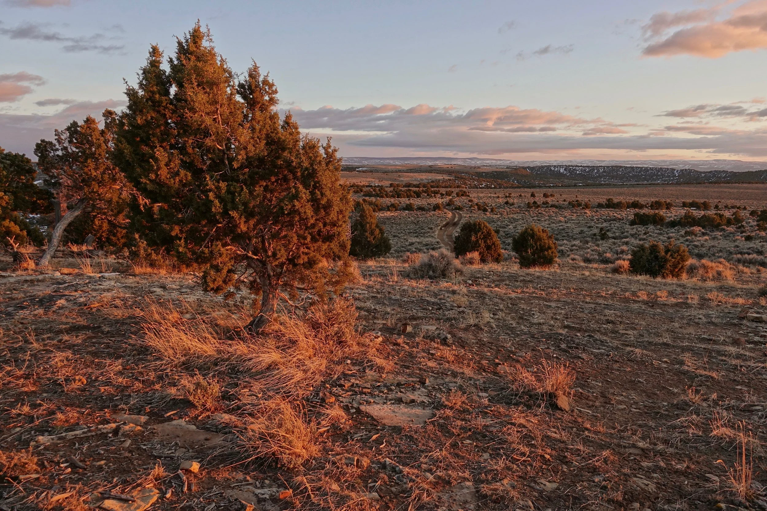
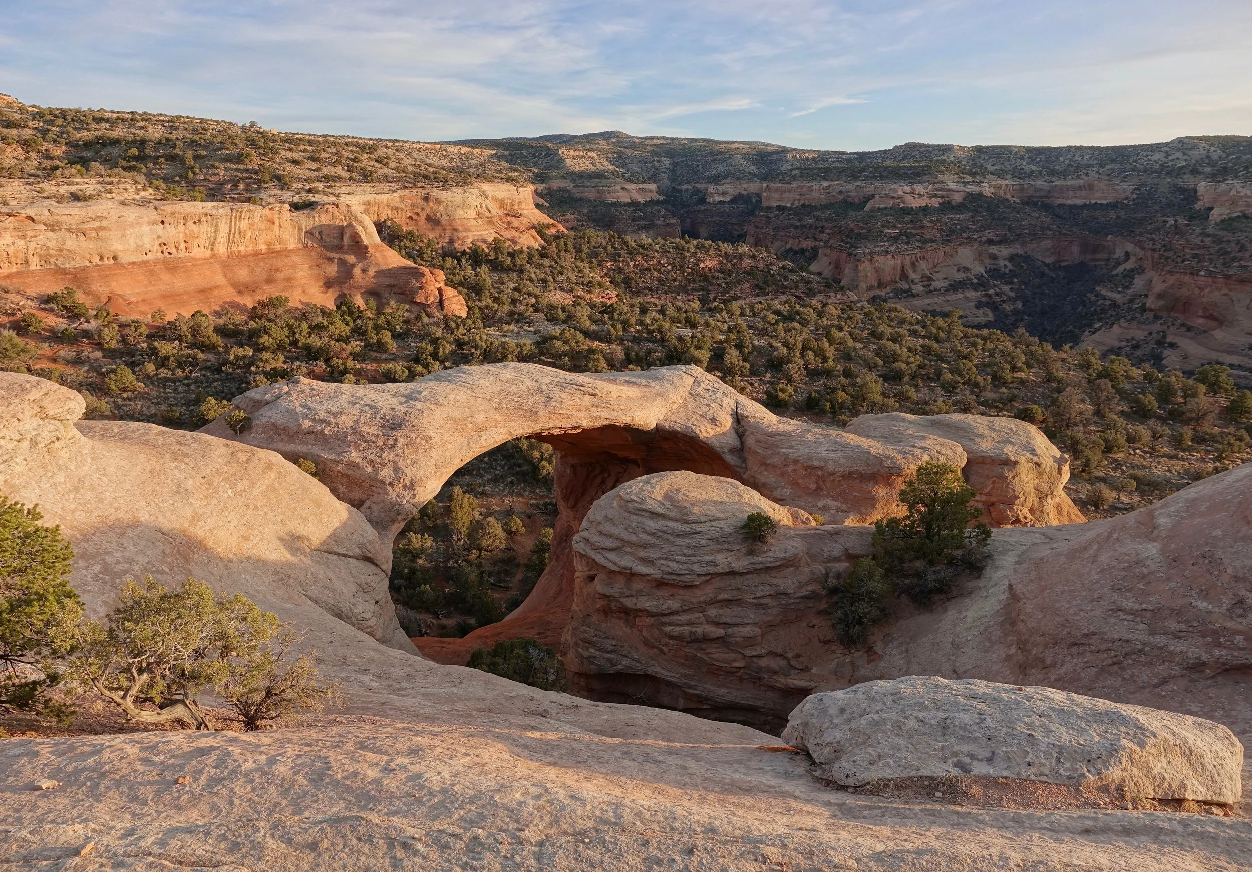
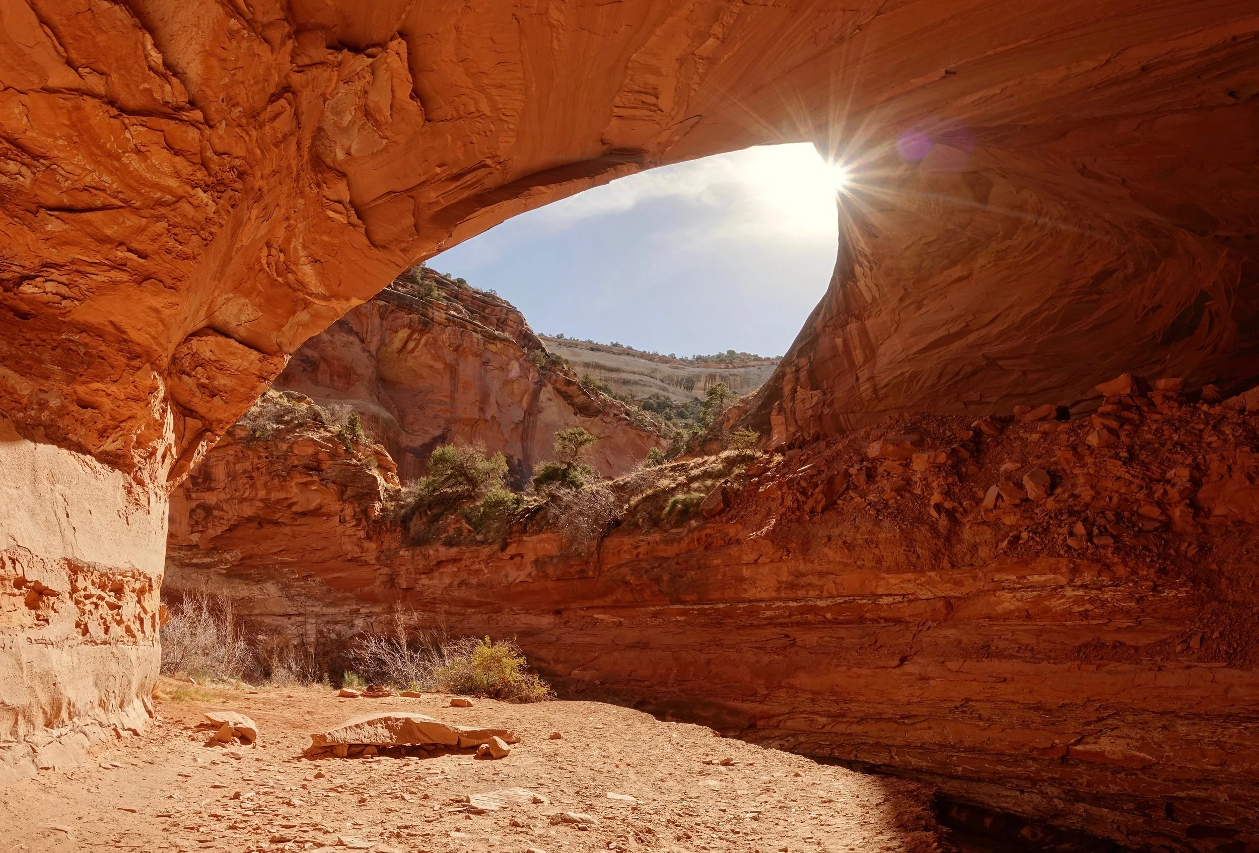
By mid-morning I had hidden all water for the week and descended into the lower level with a view of Two Feathers Arch
I did what I am calling the "Rattlesnake-Mee Route" over four days. All water was carried from the start. Day one was a planned half day to break up the water carry into the area.
Overview map of the walks. The purple/blue is the Rattlesnake-Mee Route. The yellow is the Mee-Knowles Route (yet to be completed)
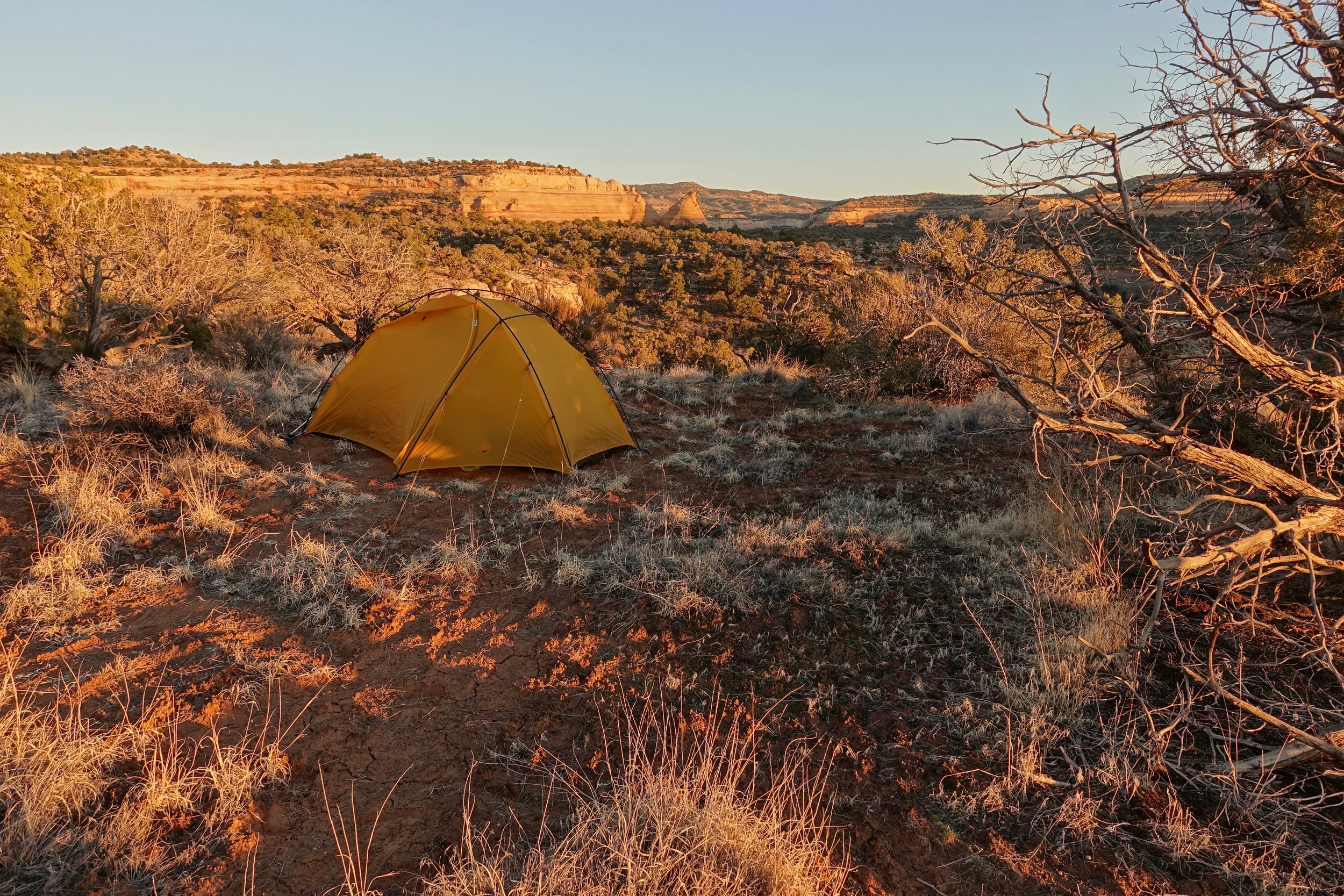
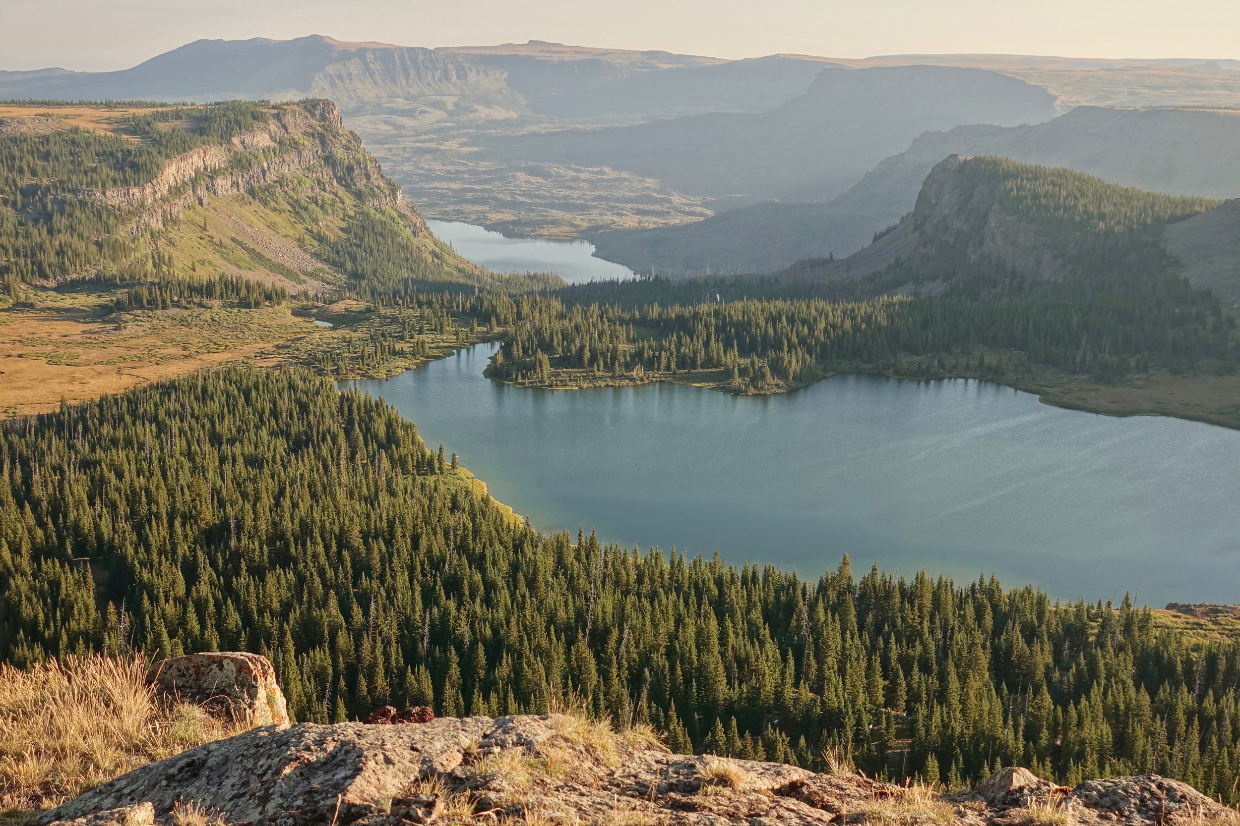
Favorite camp of the week, overlooking Mee Canyon near Crown Arch
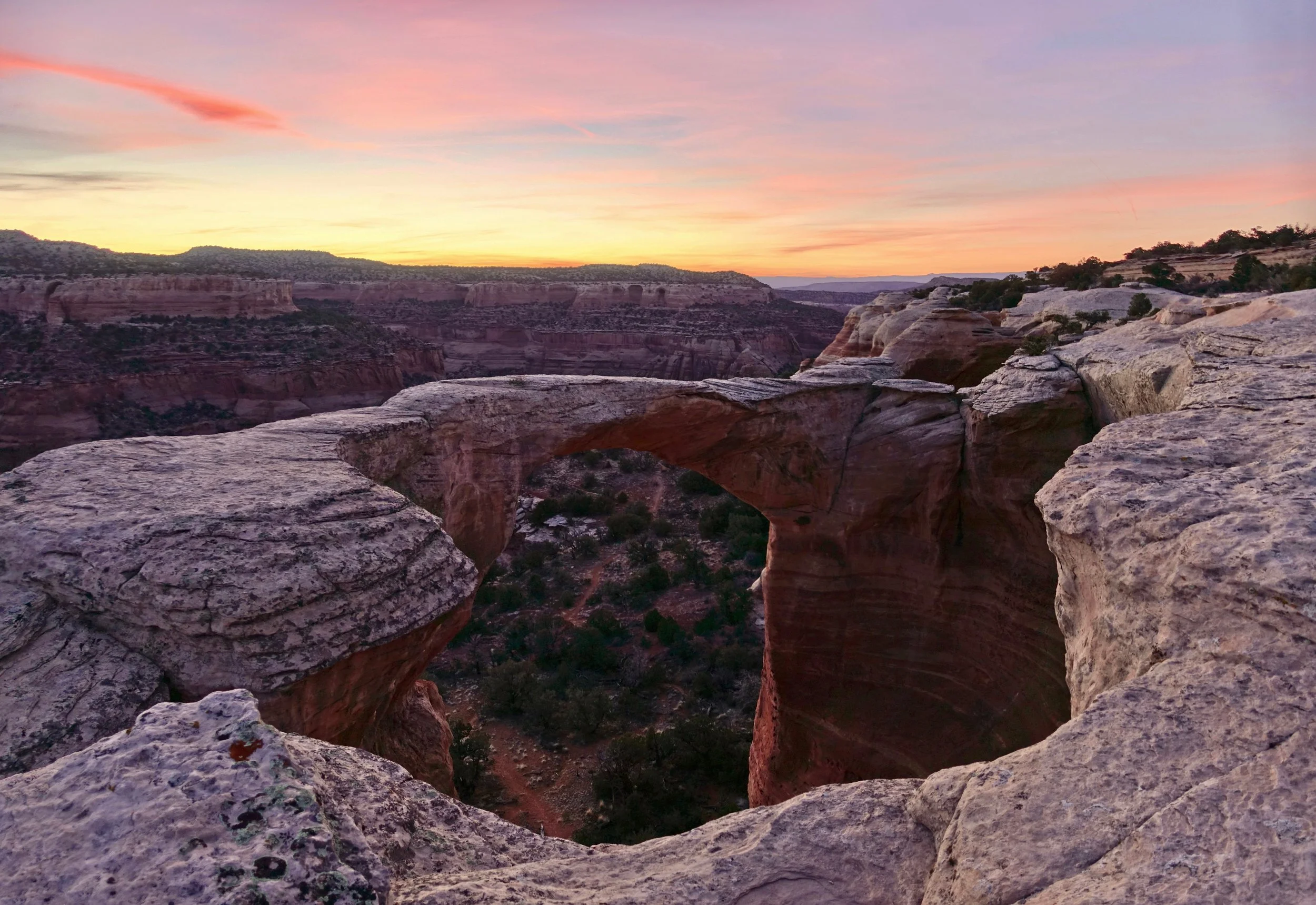
Crown Arch at sunset
The next day I walked north into Rattlesnake Canyon. The upper Rattlesnake trail is better than the lower although camping down low is required by BLM
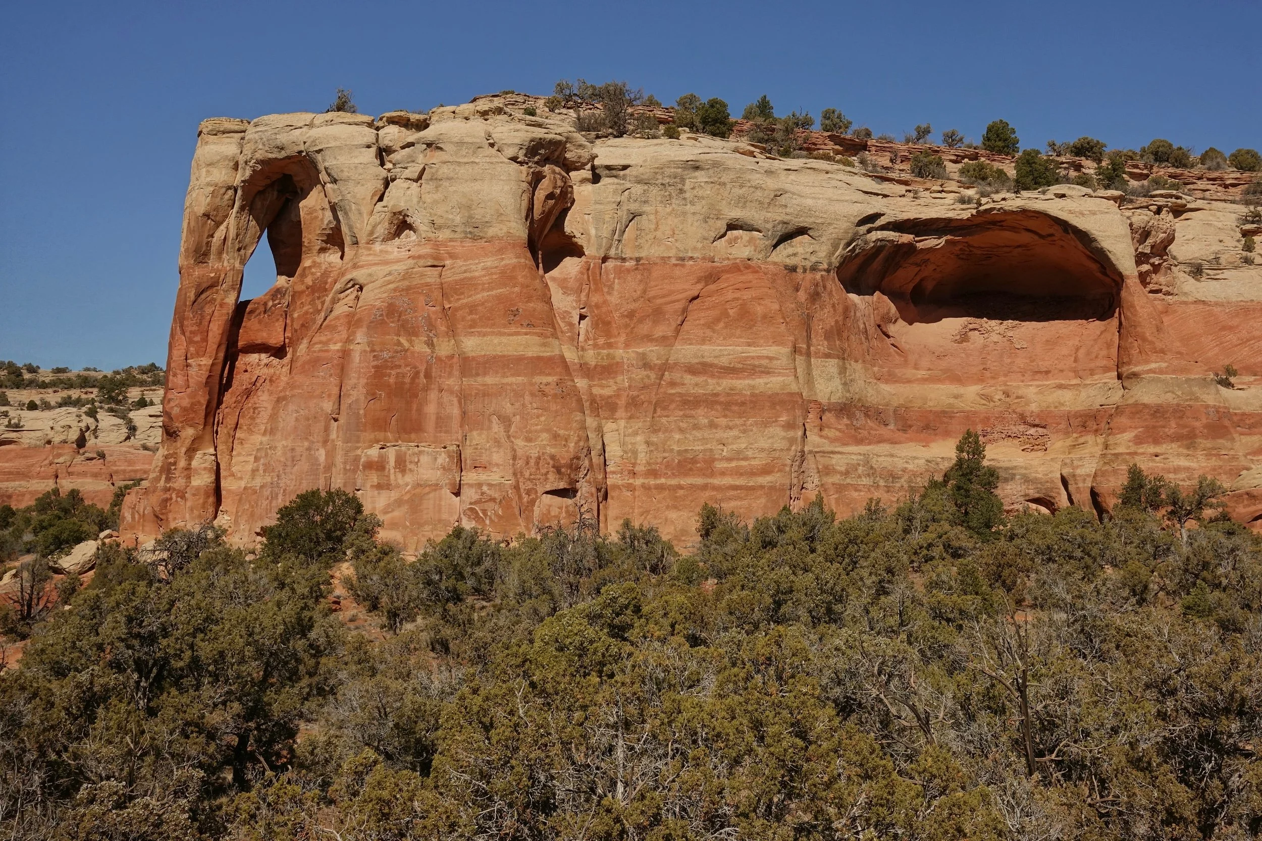
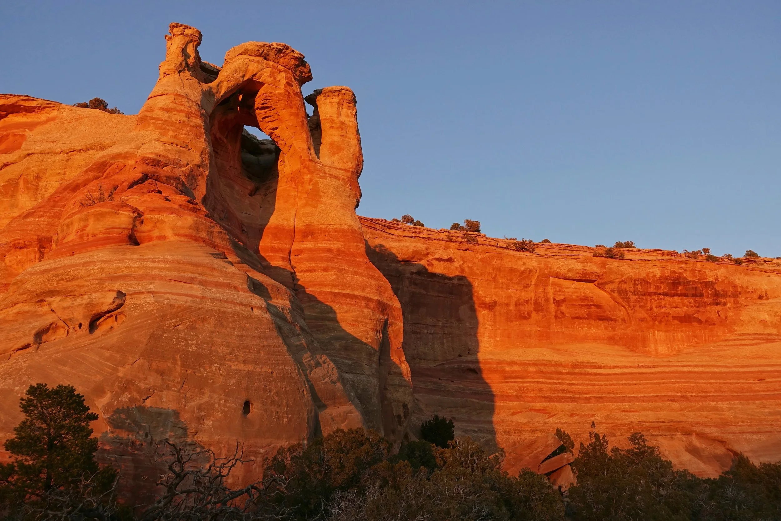
The arches have several names making research confusing, but know that most of the major arches are in this area. Centennial Arch is the largest, also known as East Rim, Rattlesnake, or Akiti Arch
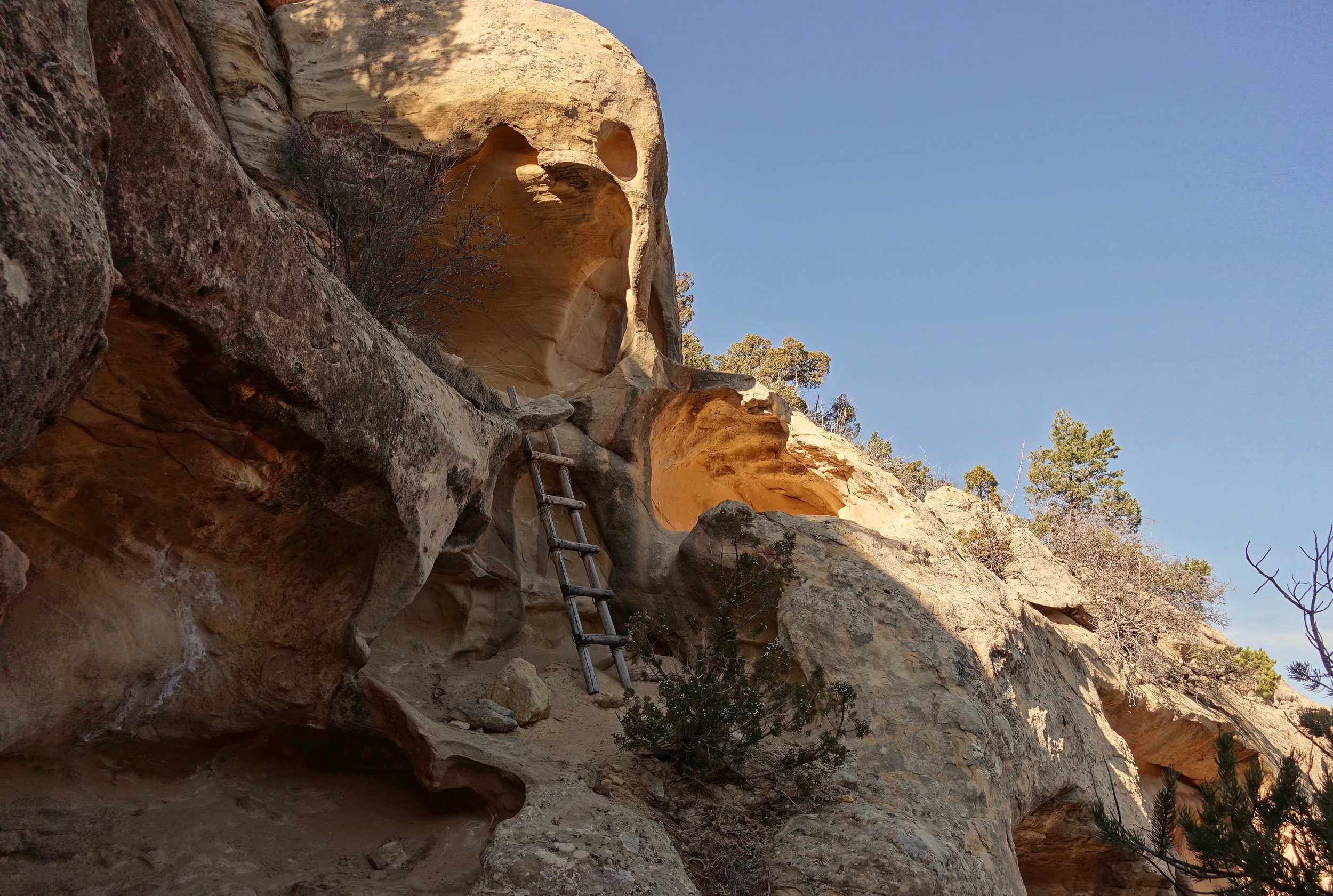
On the final day I went briefly into Mee Canyon to check out the alcove. The trail system is more rugged than Rattlesnake although marked with cairns throughout
Mee Canyon Alcove is impressive. Largest alcove in the Colorado Plateau
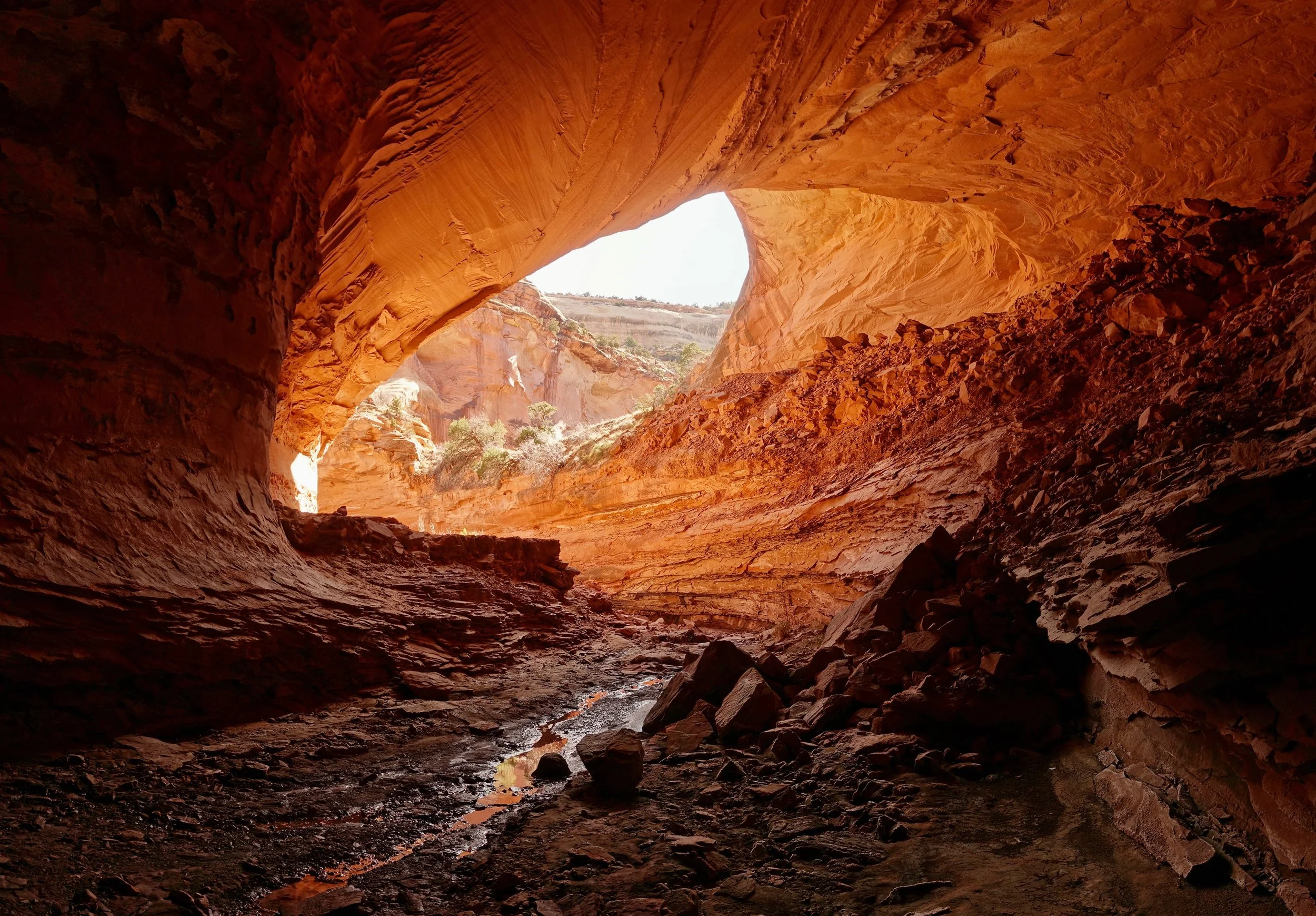
From deeper in the alcove
Flat Tops Wilderness
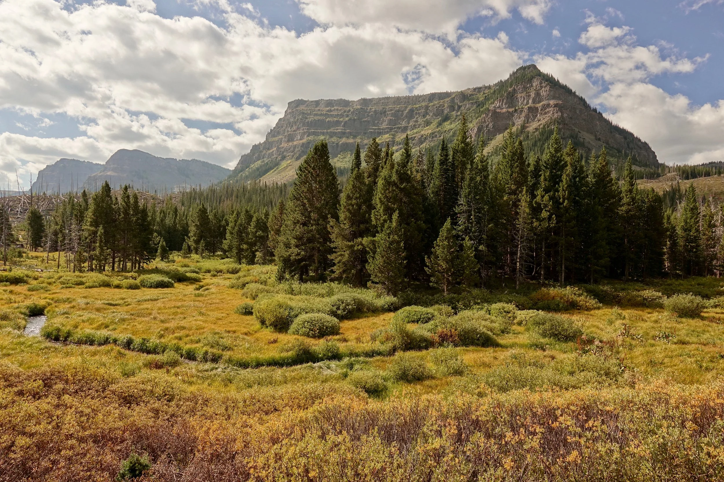
I spent three nights in the Flat Tops Wilderness to climb Trappers Peak, Sheep Mountain and Devils Causeway (40 miles, 5,500 feet gain)
This route loops around the "Flat Top" with little elevation change after the initial climb to Wall Lake
I chose the Skinny Fish Trailhead for access to hot food at Trappers Lake Lodge, spending a night at Bucks campground before the walk to acclimate. All three camps are above 11,000 feet.
The daily miles are conservative, my first backpacking trip in two years following peroneal tendon surgery. With the afternoon rain each day getting to camp early worked out and might even be a good strategy.
The Carhart Trailhead could be used as an alternative to save time, coming down Little Trapper instead of Skinny Fish. The view at Deer Lake would make it a good campsite as well.
Map Overview
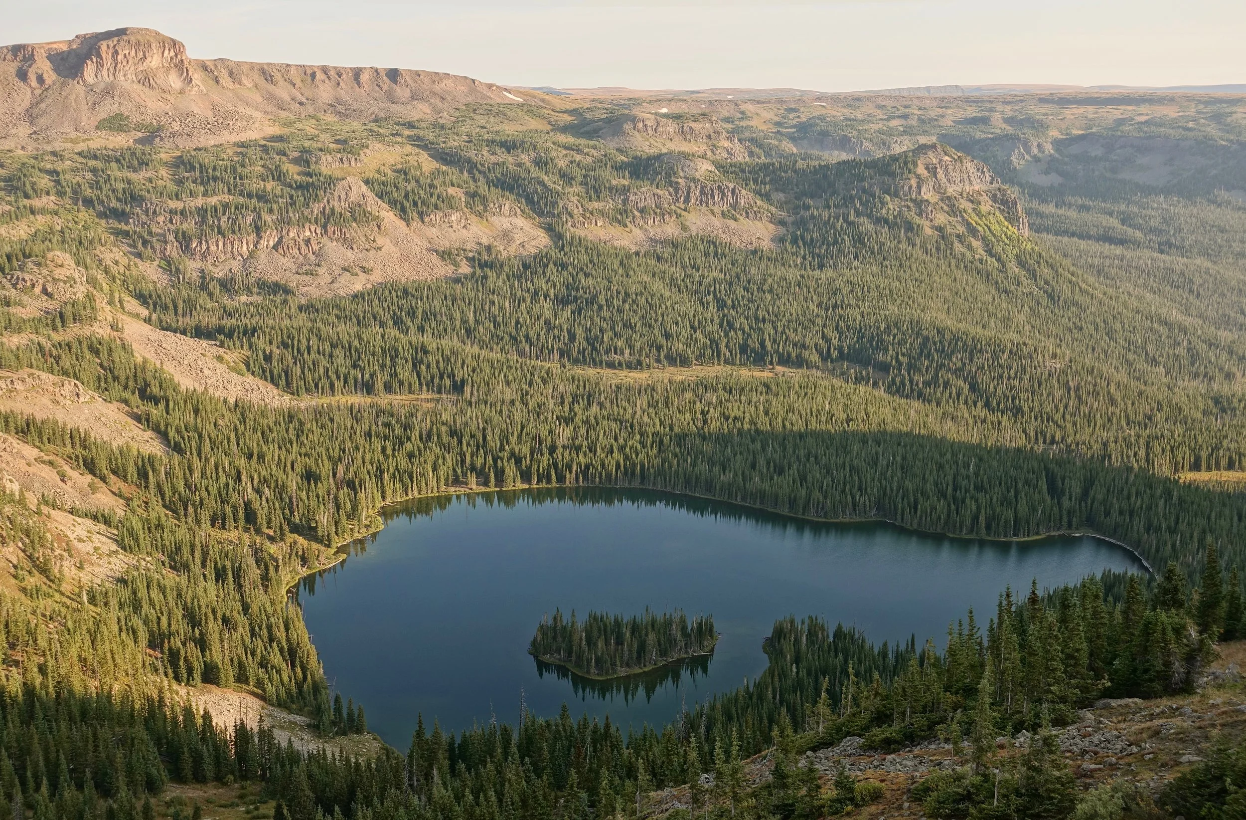
Looking down from a plateau above Wall Lake, my favorite campsite of the walk
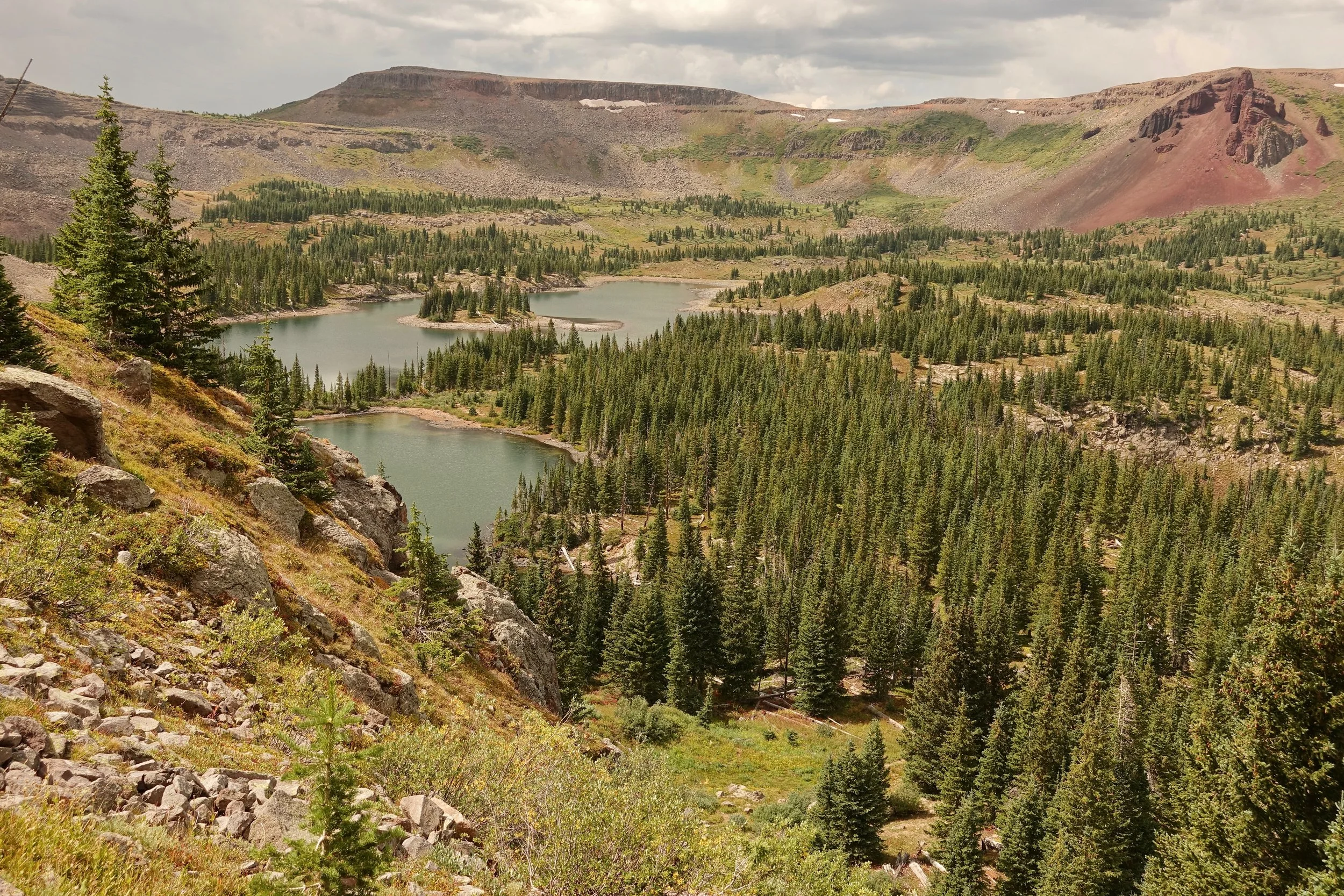
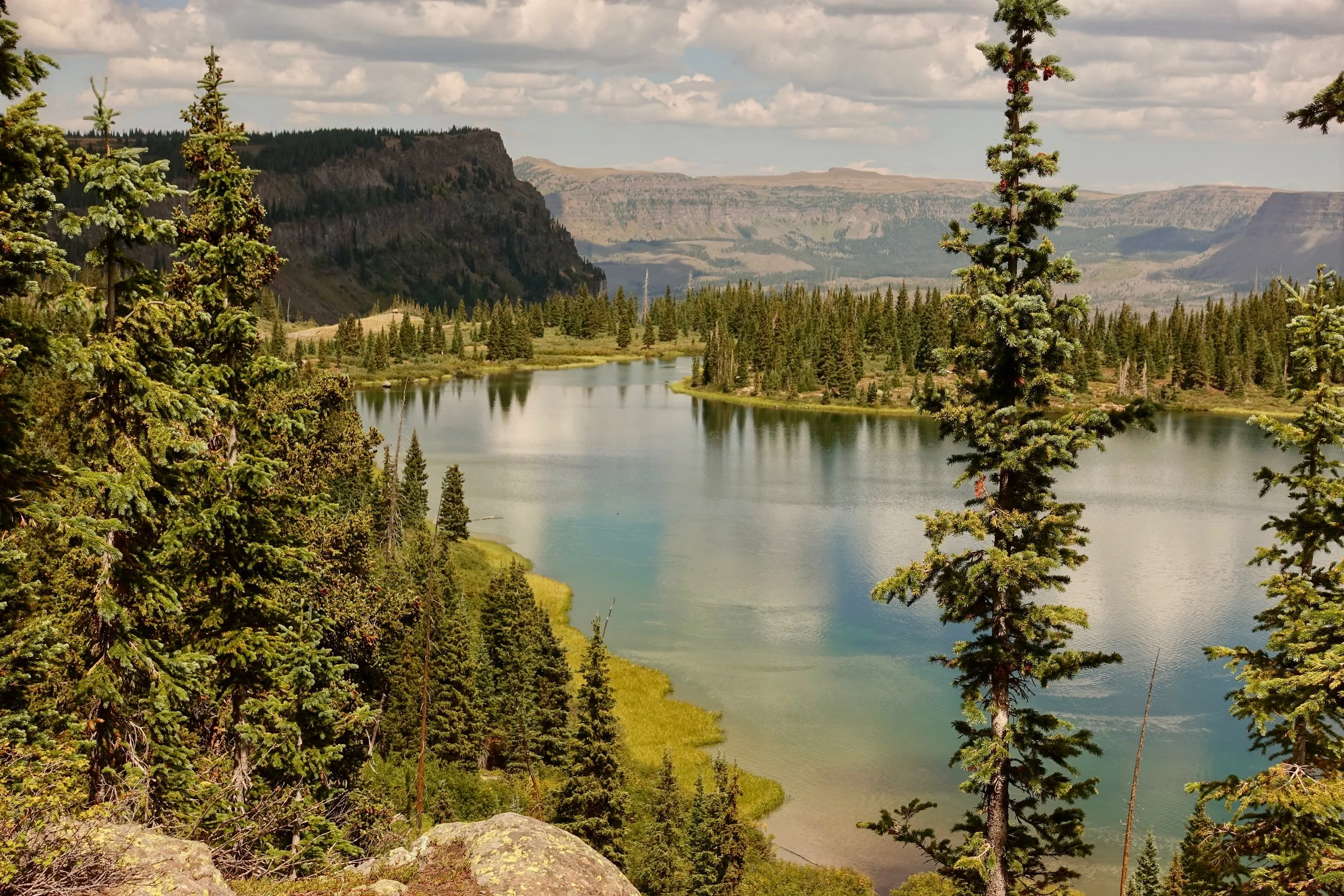
Upper Island Lake
Lower Island Lake
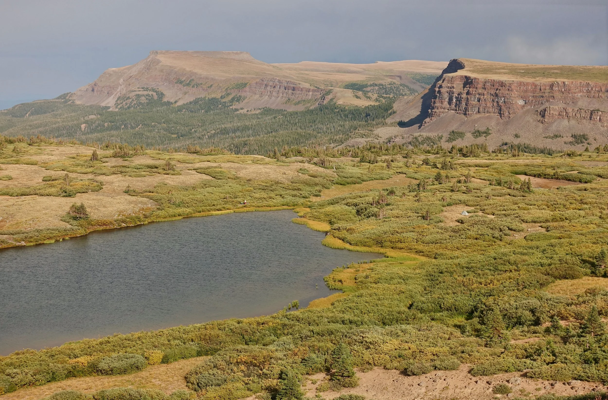
Final campsite with Derby Peak and Flat Top Mountain in the distance
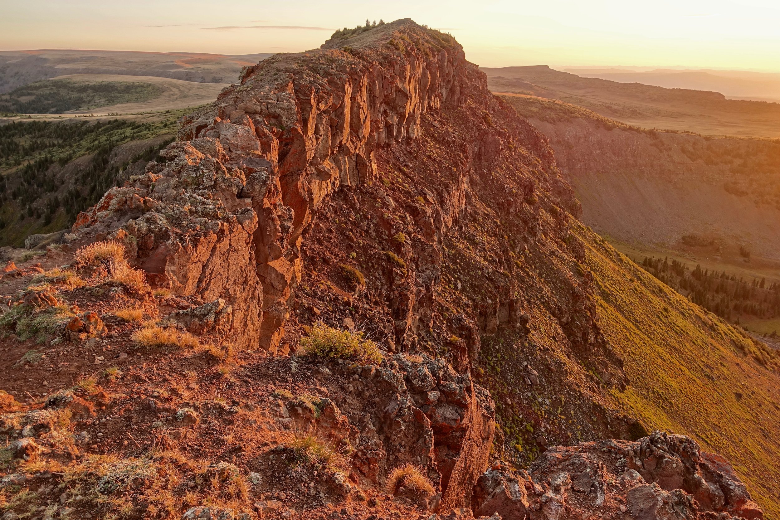
Sunrise at the land bridge "Devils Causeway". The narrow section is brief but has steep dropoffs on both sides
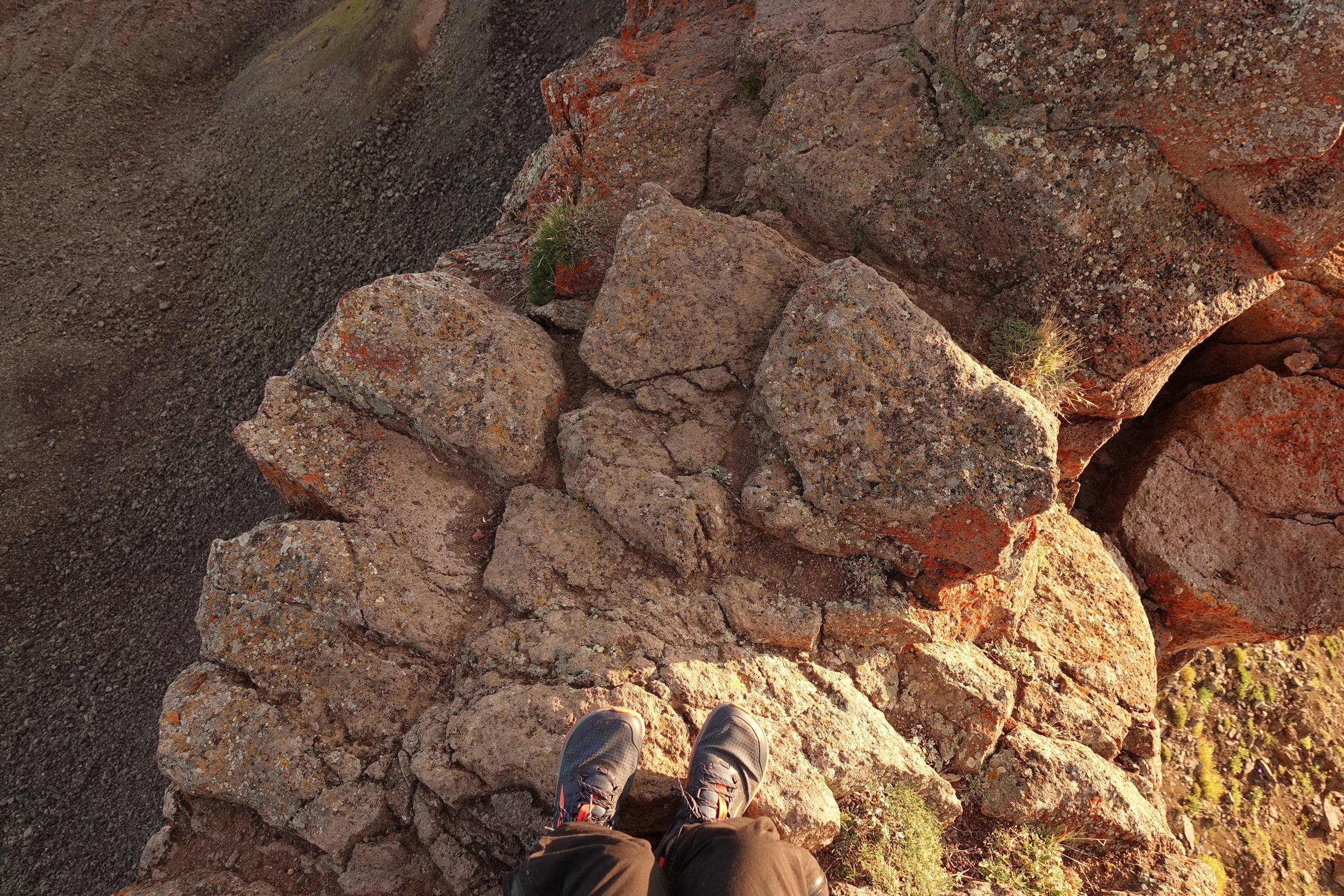
The narrowest point to help you decide
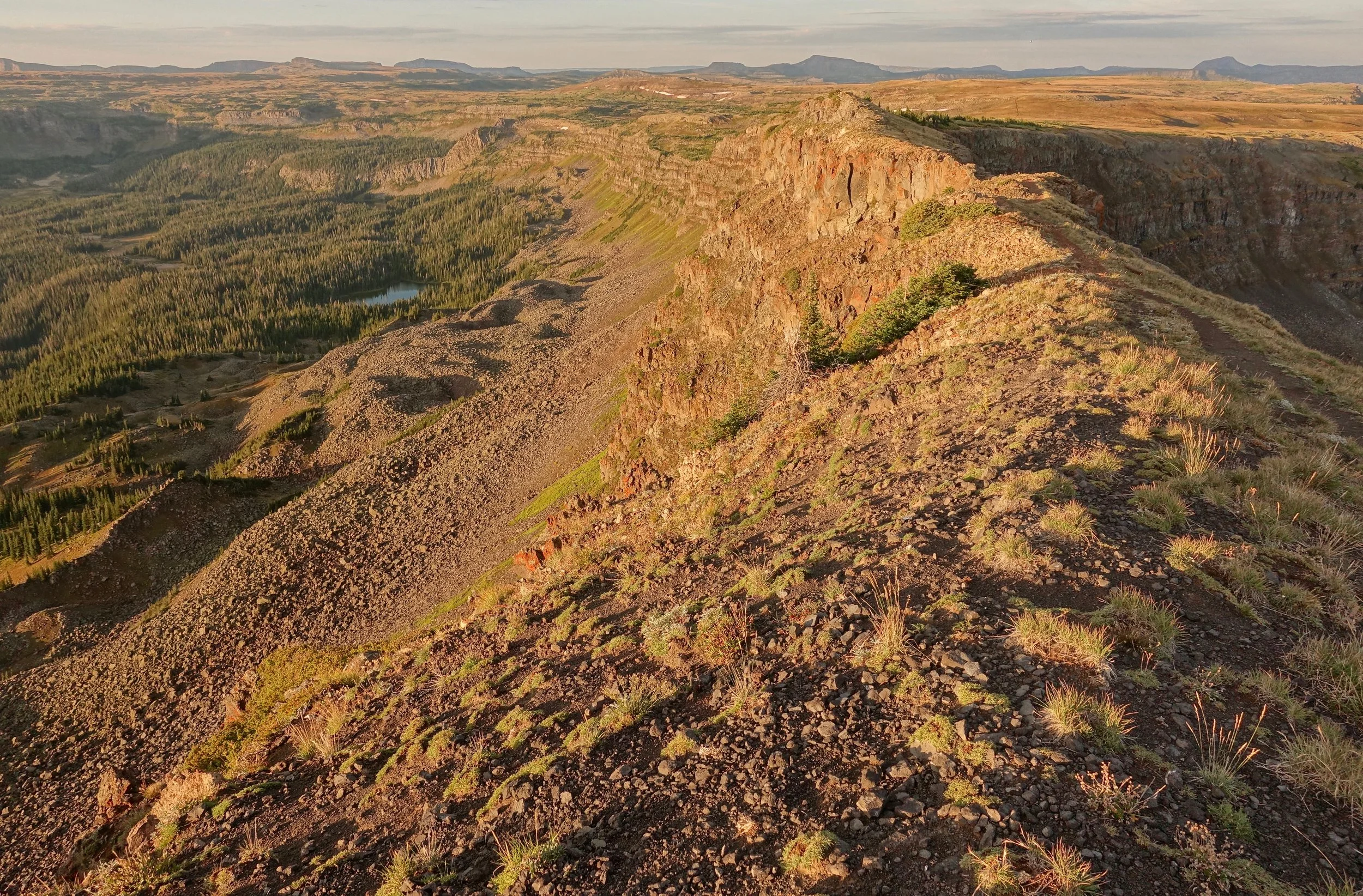
Looking south from the Causeway
Colorado Trail
Colorado Trail - Copper Mountain to Denver
With Covid travel restrictions, I stayed close to home and completed half of the Colorado Trail in the summer of 2021 from Denver to Salida. The entire trail covers 500+ miles from Denver to Durango. A popular trail with a wealth of information already available online (PMags guide)
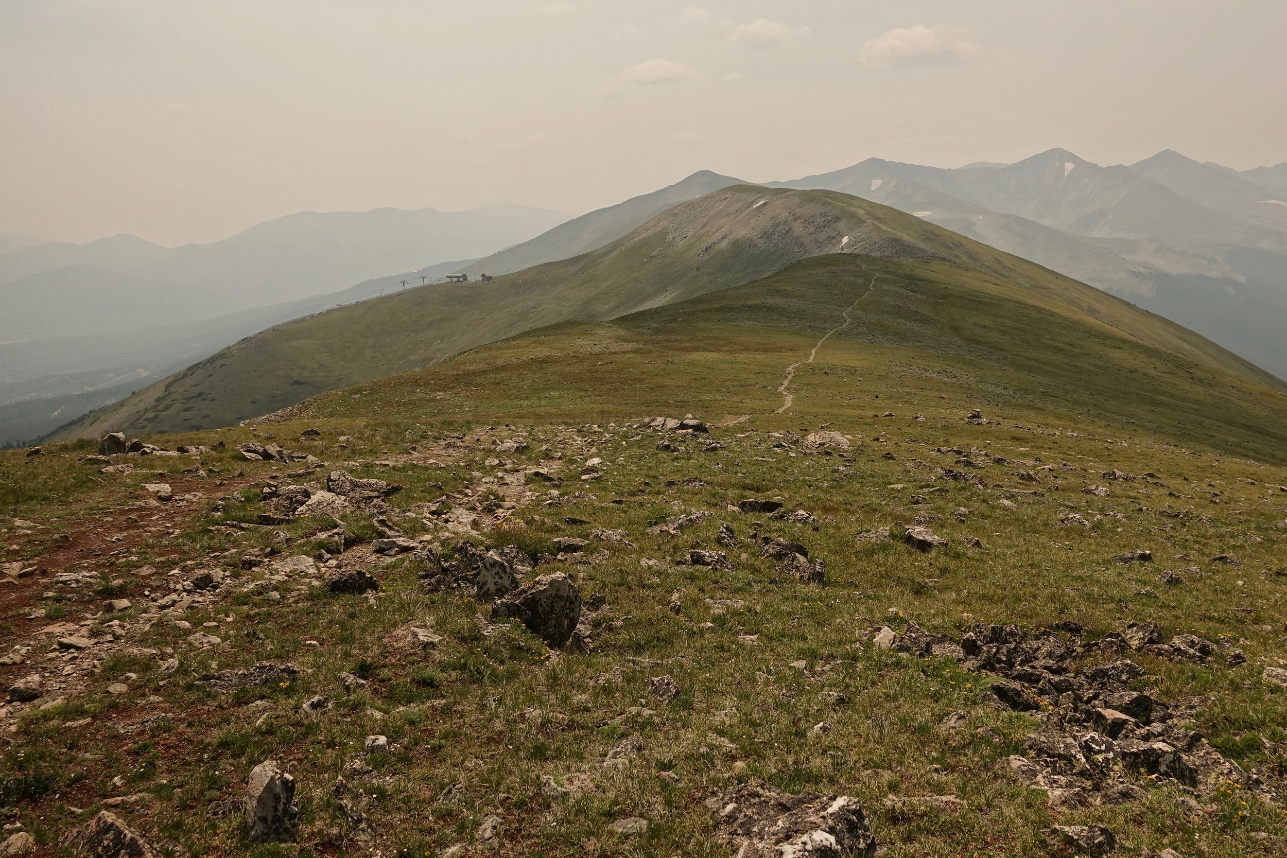
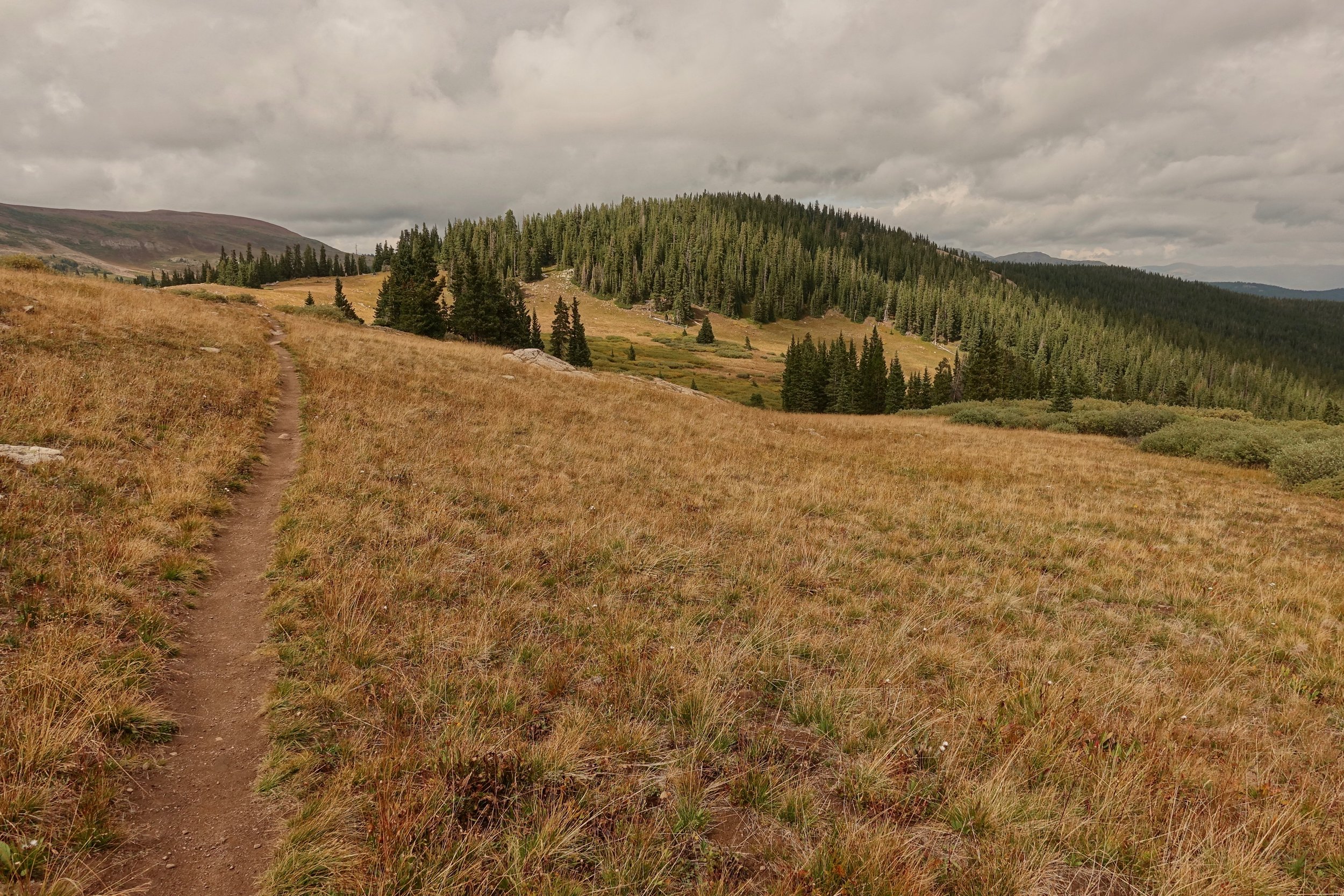
Crossing the Tenmile Range, home to Breckenridge Ski Resort in the winter
This section was completed over two weeks using the Colorado bus system for transport. The Copper to Denver section was done south to north walking downhill from the mountains to the city
Georgia Pass

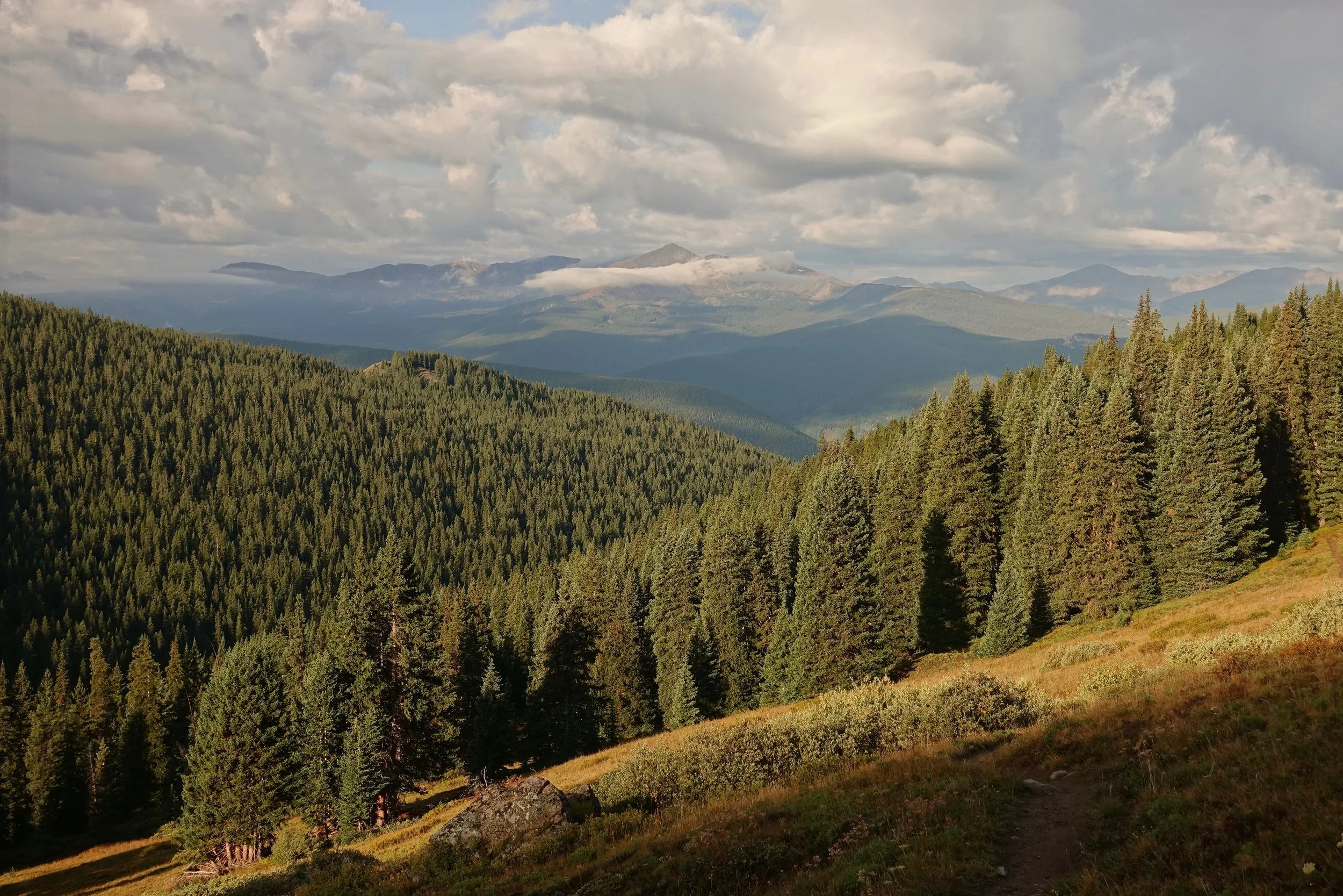
Conditions were smoky with the jet stream pushing California smoke into the area
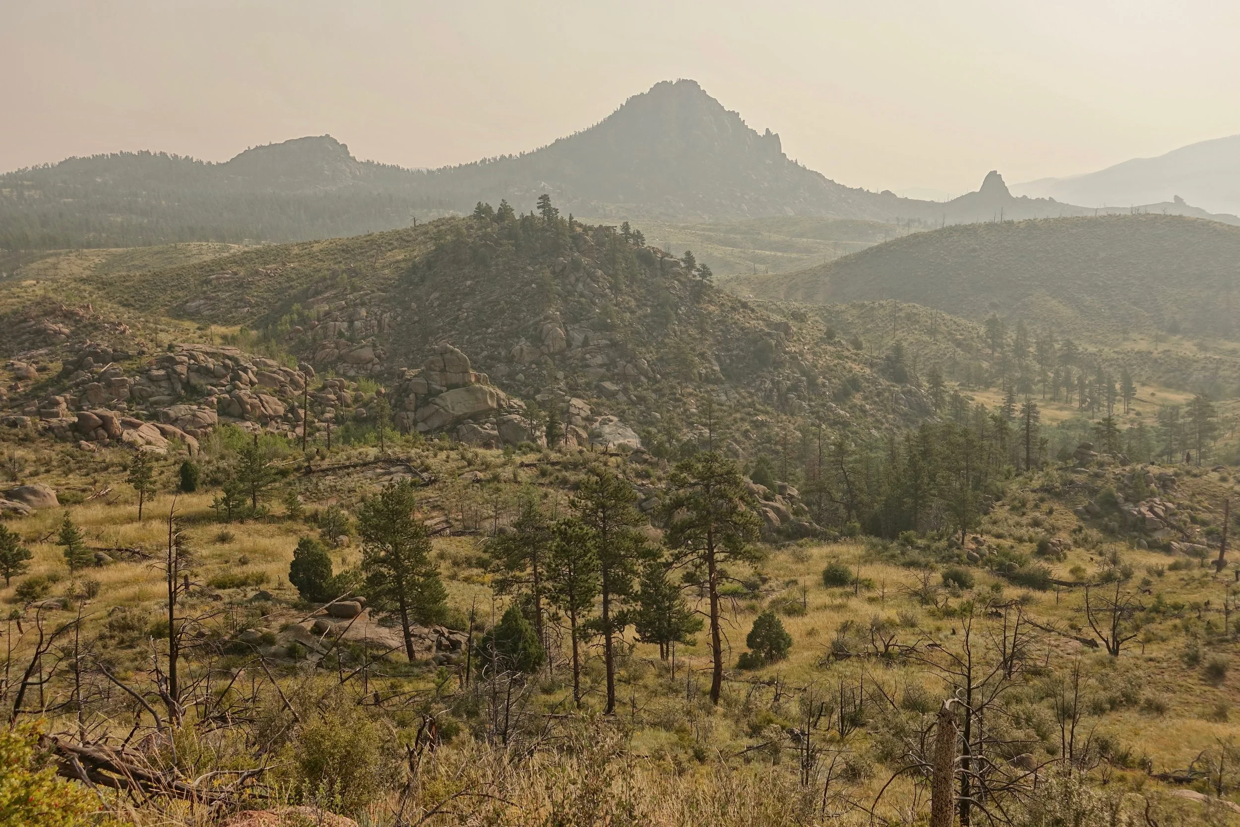
The trail became more desert-like near Denver, even requiring a firehouse to resupply on water
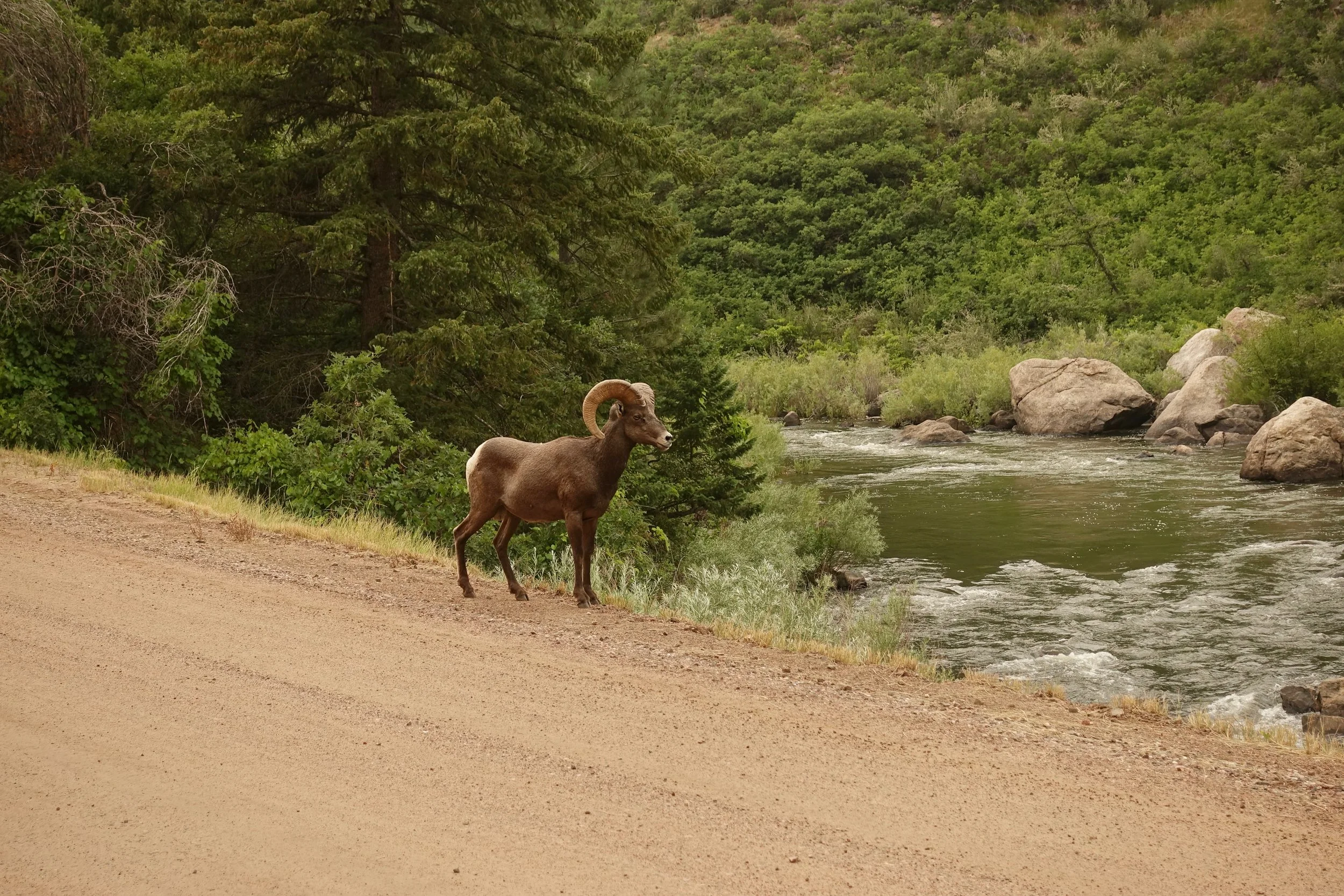
Bighorn sheep at the end of the walk in Waterton Canyon
Colorado Trail -- Copper Mountain to Monarch Pass (Collegiate West)
Above the treeline near Searle Pass. It would be possible to stay at a mountain hut called Janet's Cabin here
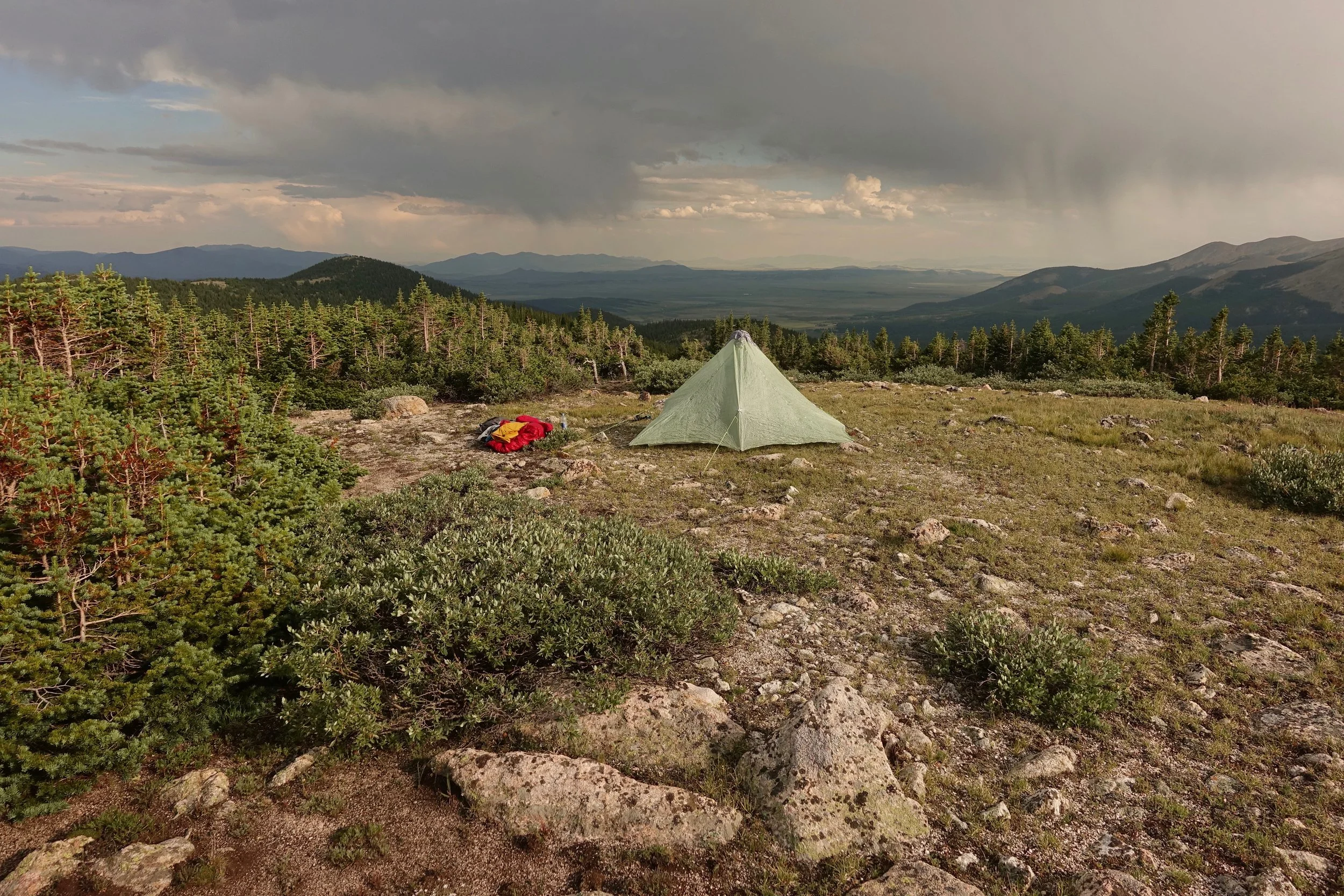
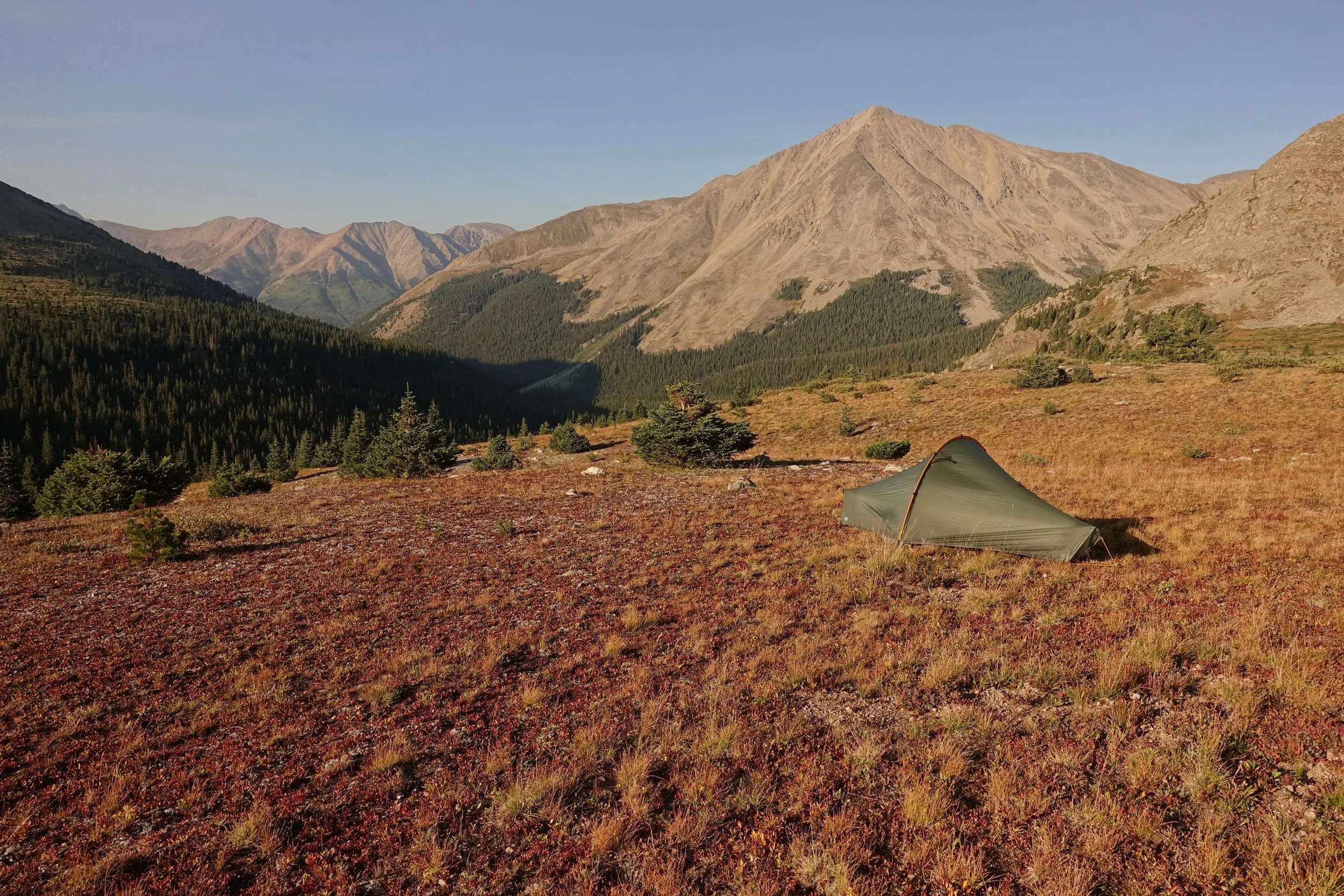
I camped at Kokomo Pass, beautiful spot
I planned two nights at Twin Lakes Inn in order to climb Mount Elbert. I resupplied at the general store and had several hot meals in town. I happened to sit next to the Hall-of-Famer Goose Gossage at the hotel bar who was nice enough to pick up my tab
Summit Selfie
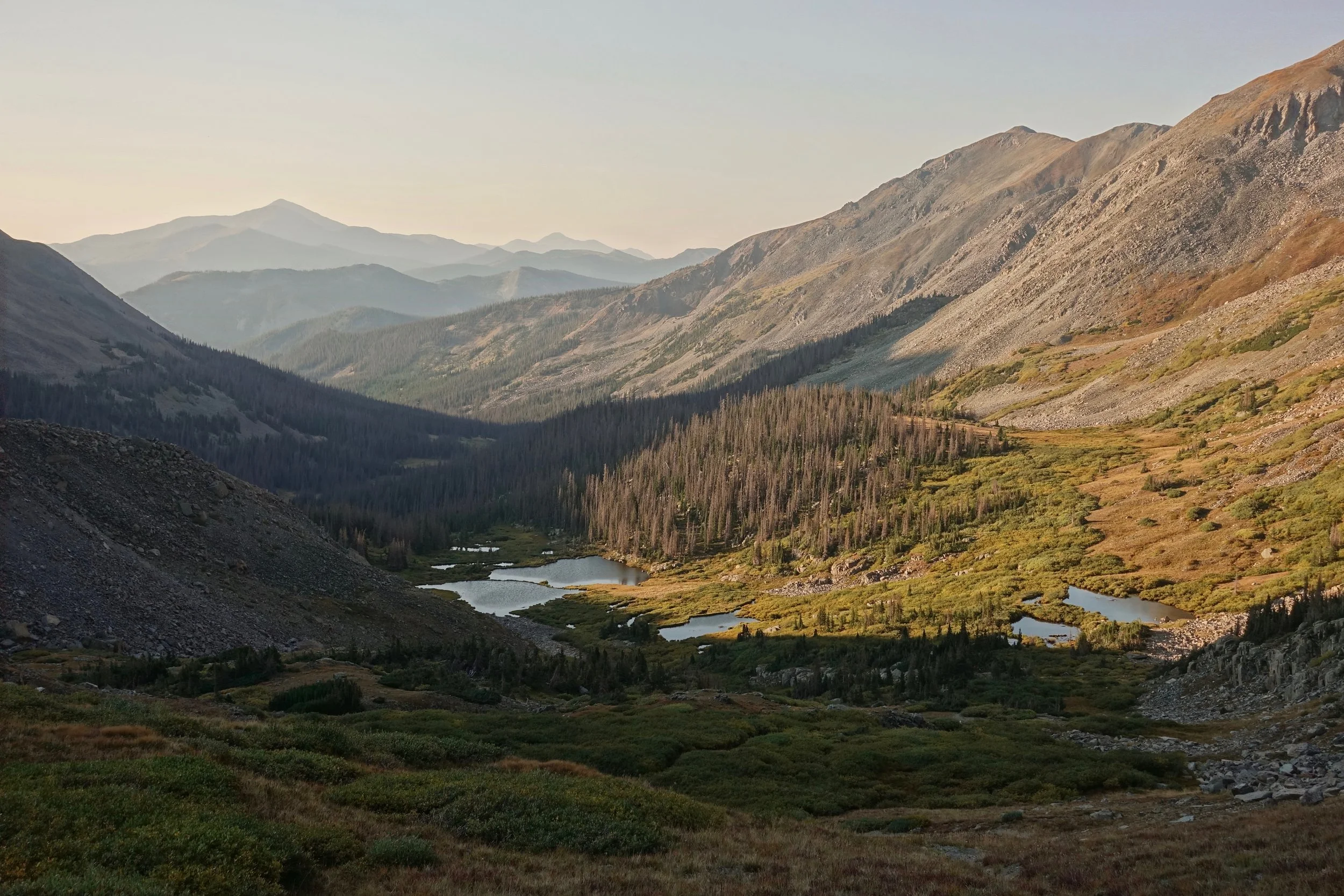
Nice view of Mount Huron from the Lake Ann campsite
Final morning on the descent of Chalk Creek Pass before hitching to the town of Salida