Norway Hiking
West Lofoten Crossing
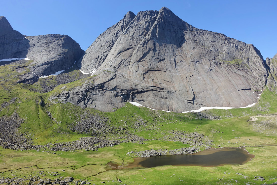
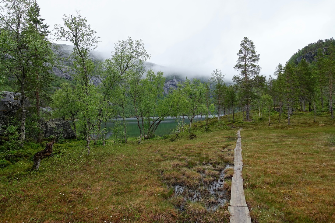
Rago National Park
Rago National Park
With a good weather window I was able to pull off a five day walk across west Lofoten with the idea of climbing the most scenic mountains all in one route. While only 40 miles in distance, there was a cumulative 19,000ft of elevation change
This route is meant for good weather as climbing peaks in Lofoten on cloudy days would be less than ideal. For a bad weather outlook the Long Crossing of Lofoten could be a better choice
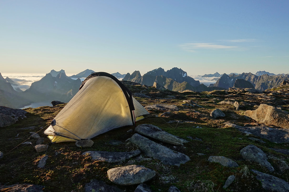
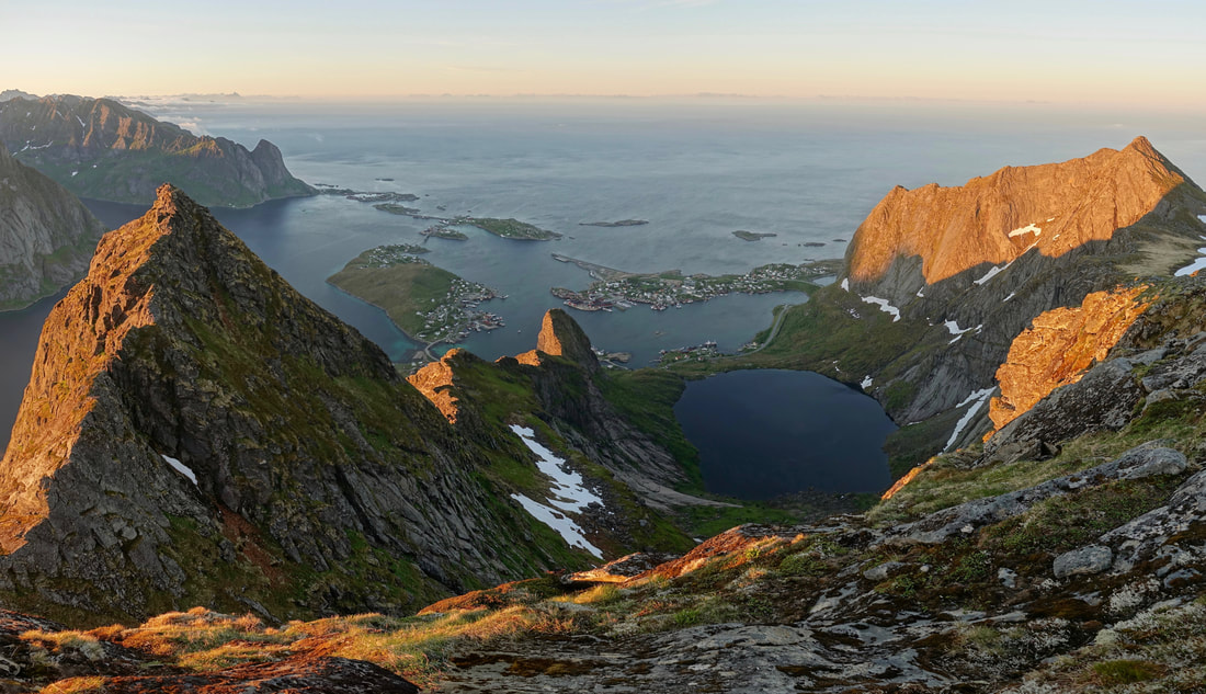
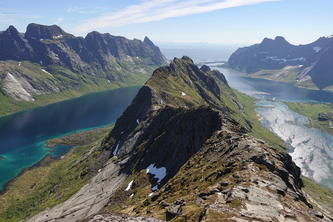
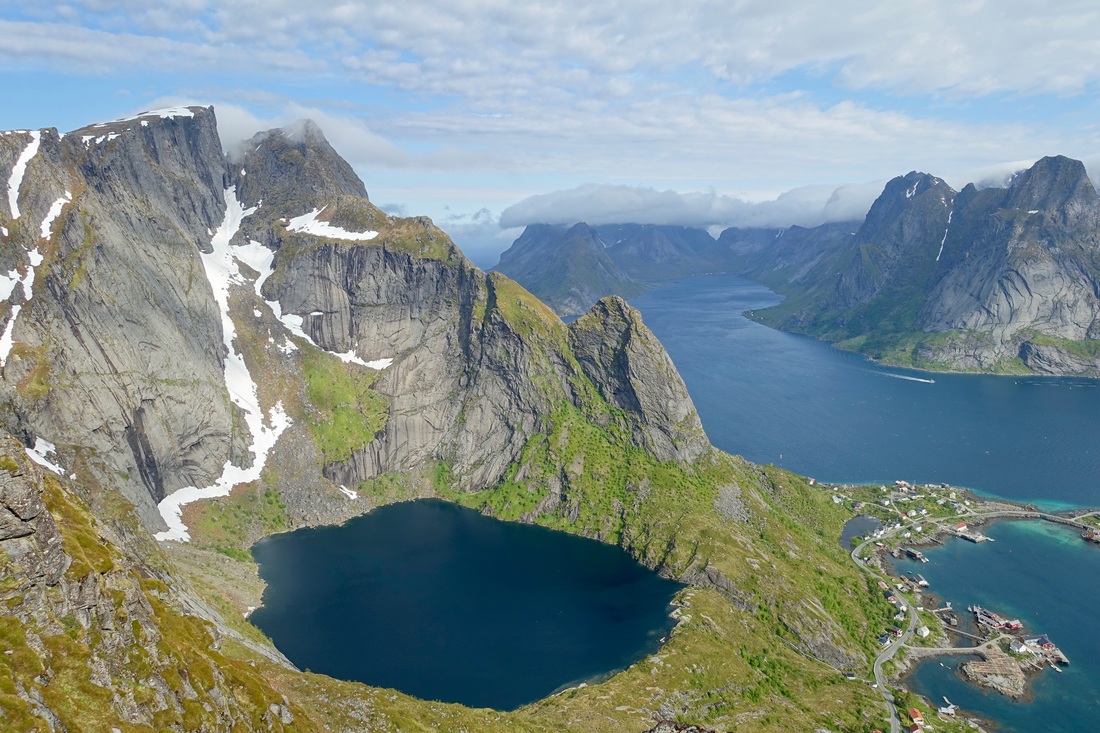
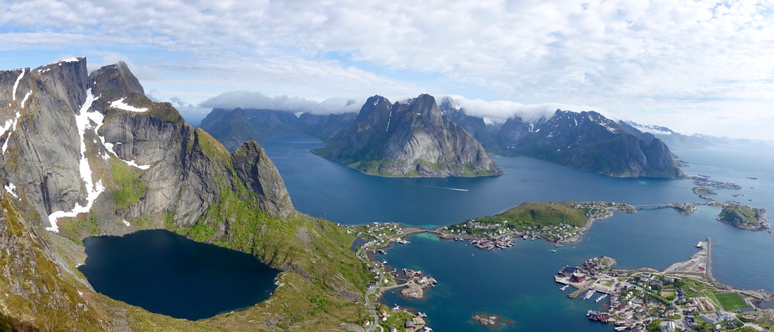
I started the walk in the late afternoon and camped on the summit of Veinestind which overlooks the fjords and the town of Reine
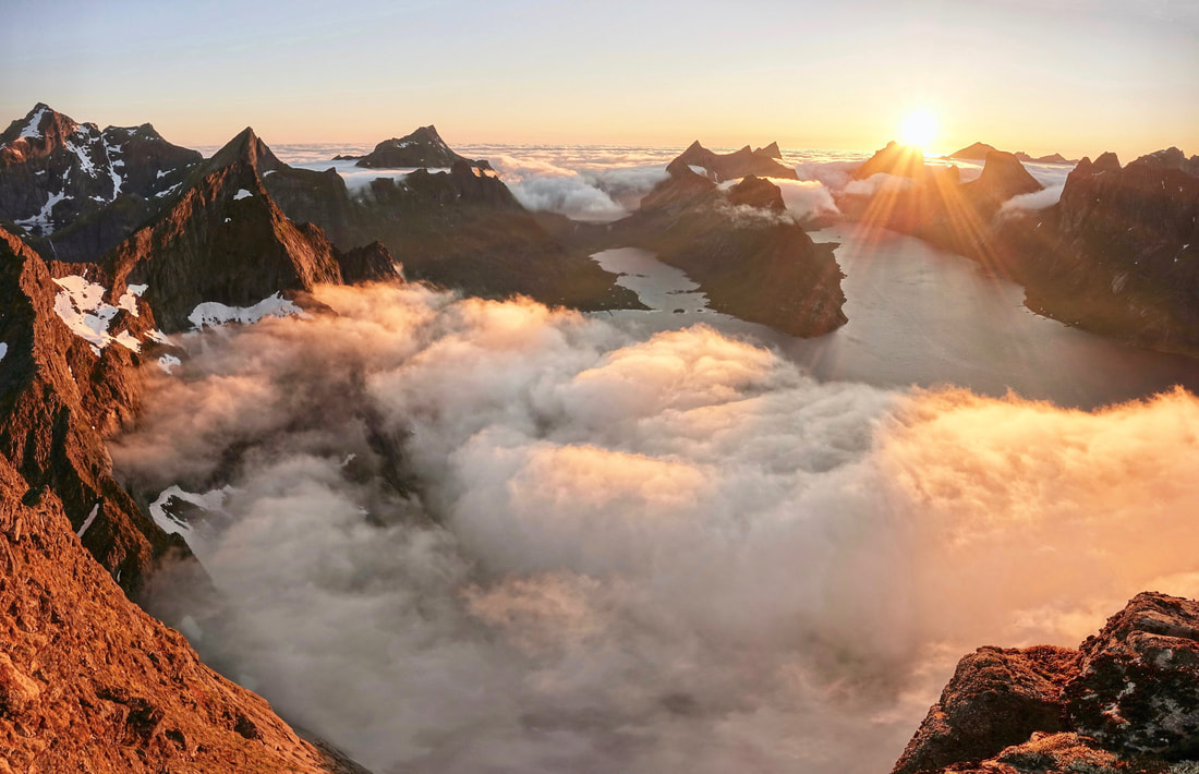
The clouds moved in from the ocean and weaved through the mountains as the sun went around the horizon. The low point of the sun seemed to be around 130am in mid-June
I could not sleep much with the sun on the tent and got an early start to climb Hermannsdalstinden, the tallest mountain in the area
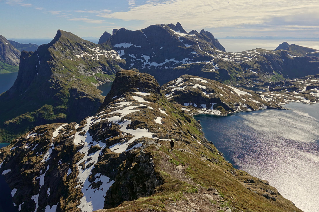
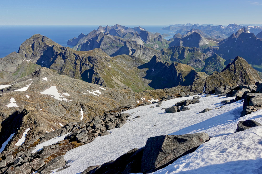
From the summit I could see the entire route including the beach at the town of Ramberg. Although there was still snow on many of the climbs in June, Storskiva was the only summit that was blocked from climbing
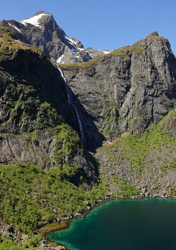
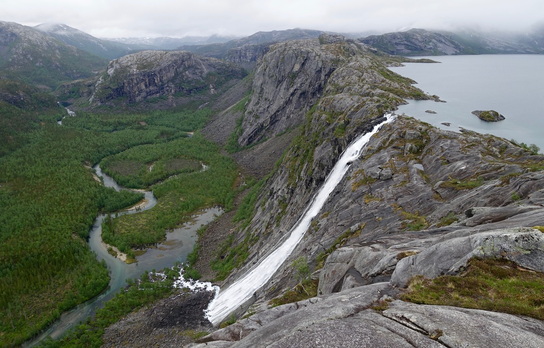
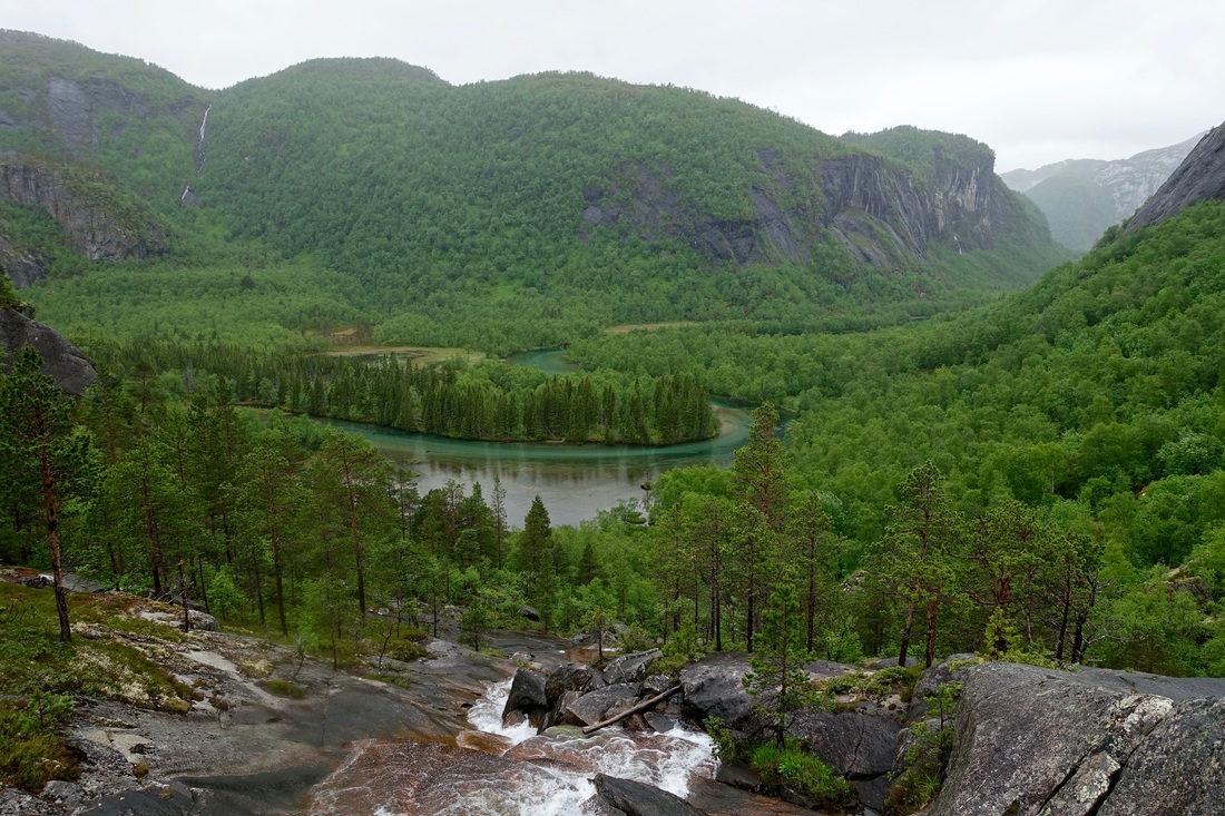
Waterfall on the route around Forsfjorden to Vindstad
There is no path down Helvetestinden to Kjerkfjorden. The steepness of the route looks intimidating, but it was more time-consuming than difficult. The other option would be to arrange a ferry around
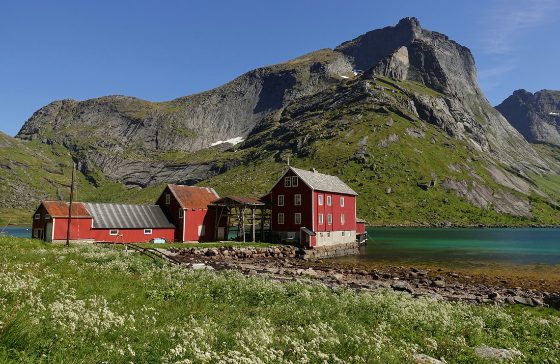
Small village at the north end of Kjerkfjorden
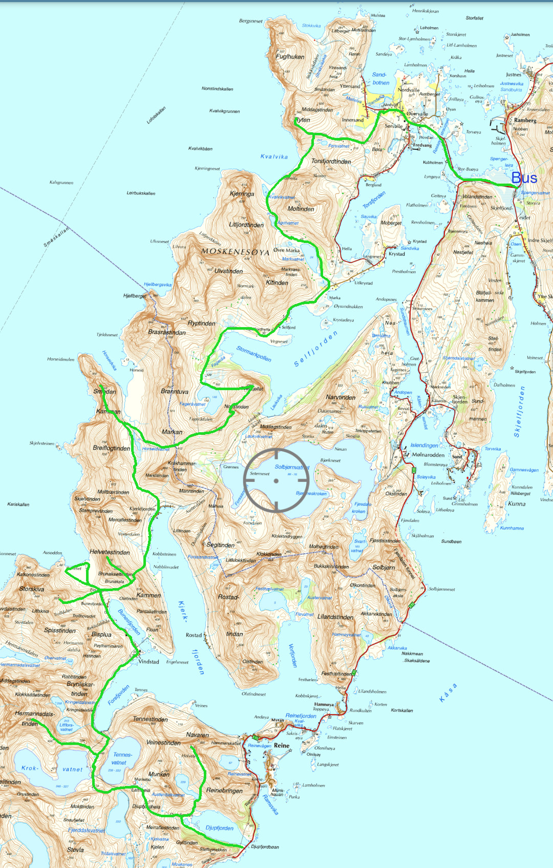
Overview of the route:
Day one: Djupfjorden parking lot to Veinestind summit camp (half day)
Day two: Veinestind - Munkebu huts - Hermannsdalstinden - Storskiva summit camp attempt blocked by snow- Bunes beach camp
Day three: Helvetestinden - Horseid - Smeden camp near Breiflogtinden
Day four: Breiflogtinden - Peak 492 - Nonstinden- Tverrfjellet - Kvalvika - Ryten camp
Day five: Ryten to E10 highway bus stop near Ramberg (half day)
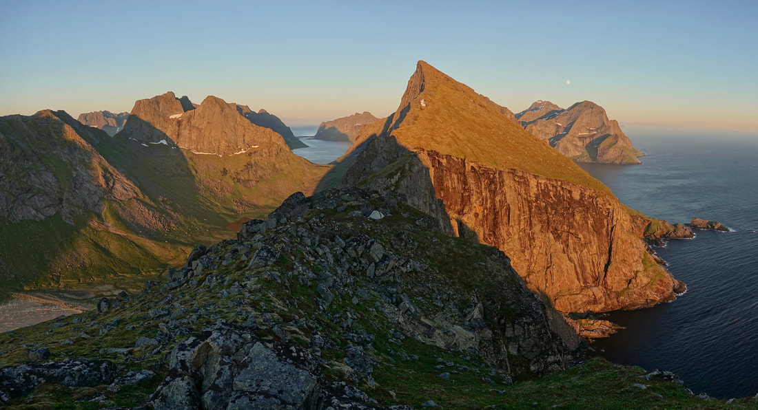
High camp near Breiflogtindin, this one rivaled Veinestind for most scenic of the trip
Overlooking Horseid beach in the early morning hours
The fourth day covered the most distance and included a short road walk on the way to Kvalvika. The feet were able to rest from the up and down of the first three days
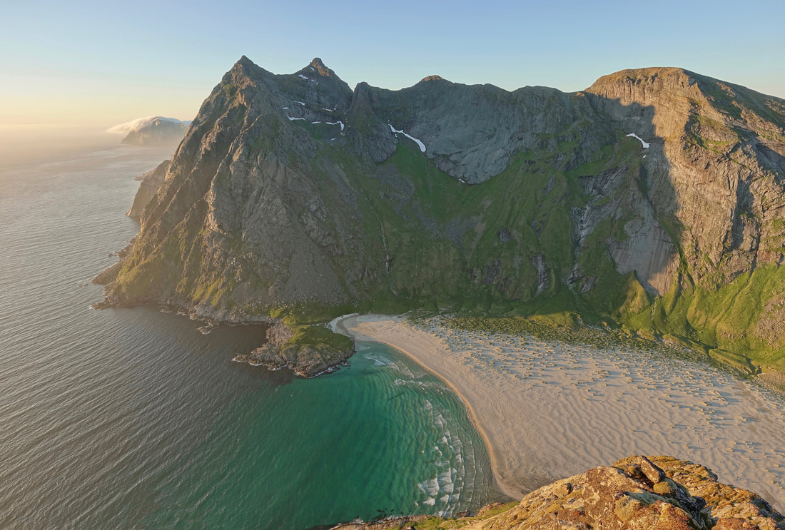
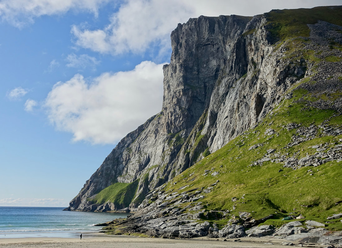
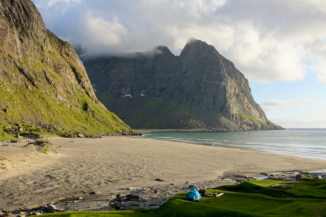
The highlight on the final day was Kvalvika beach. This beach can be reached by car and gets more visitors compared to the other beaches on the walk
Cody Duncan has several ebooks on Lofoten, I found the West Lofoten one to be helpful in planning this walk. I also used a topo map, purchased from a gas station in Reine
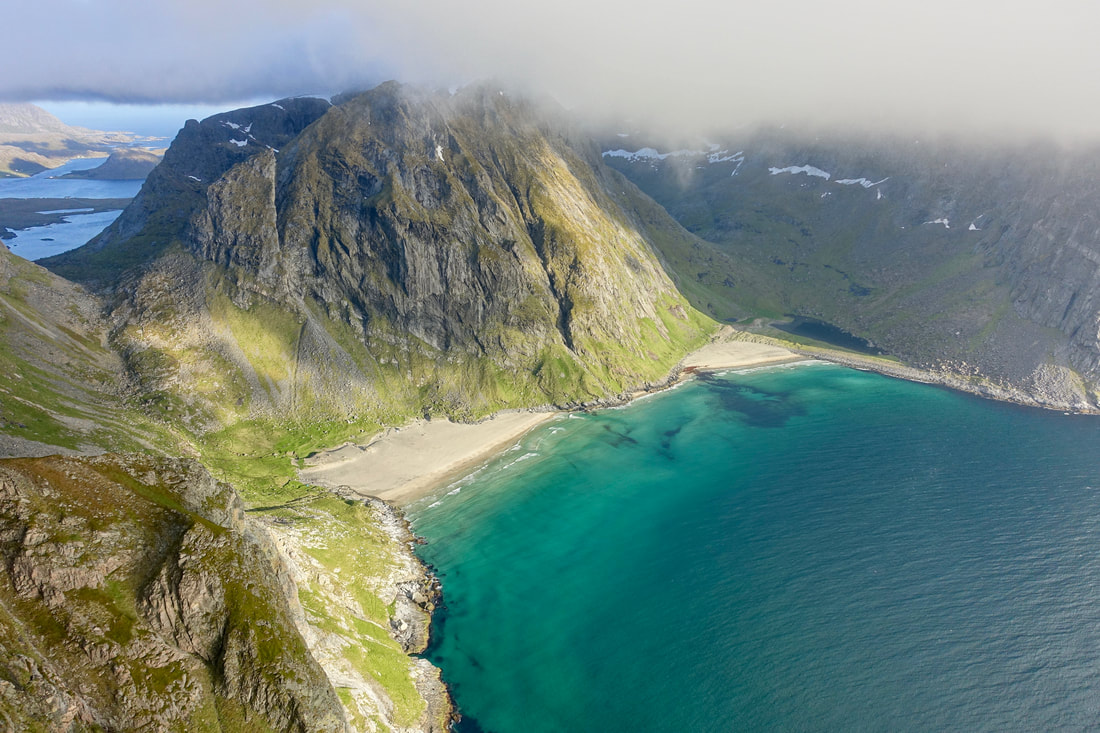
Kvalvika from the Ryten summit, from here it was a few miles road walk to a bus stop near Ramberg
