Montana
Boulder Pass Trail
Beartooth High Routes
Boulder Pass Trail - Glacier National Park
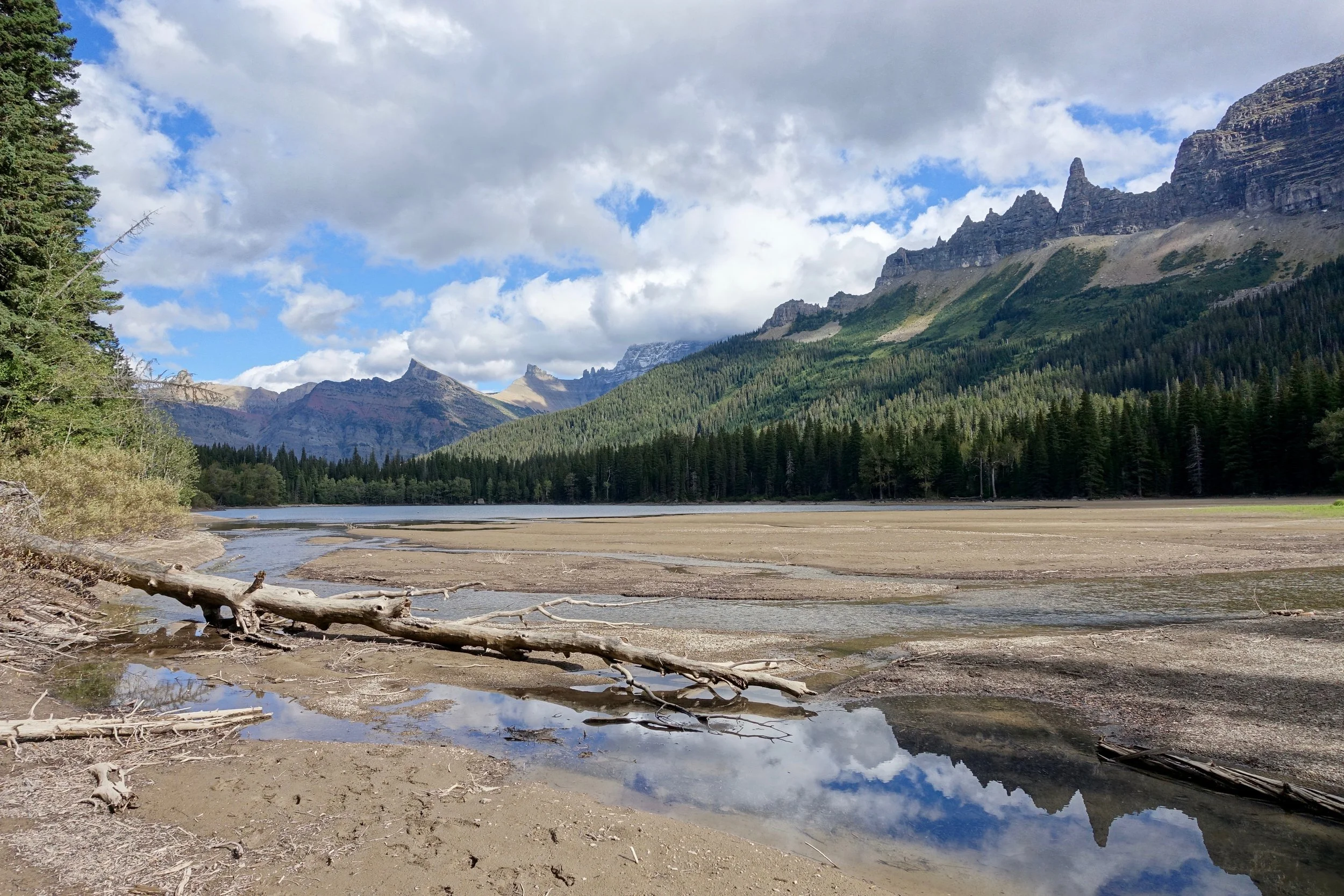
The Waterton boat shuttle takes you across the border to Goat Haunt at the south end of lake where the hike begins through the Olson Creek valley
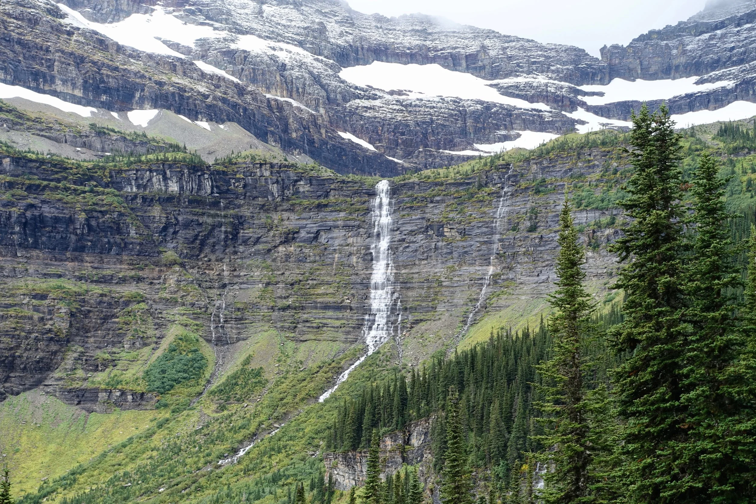
Close to freezing temperatures in late September, I was glad to reach Brown Pass where the rain turned to snow
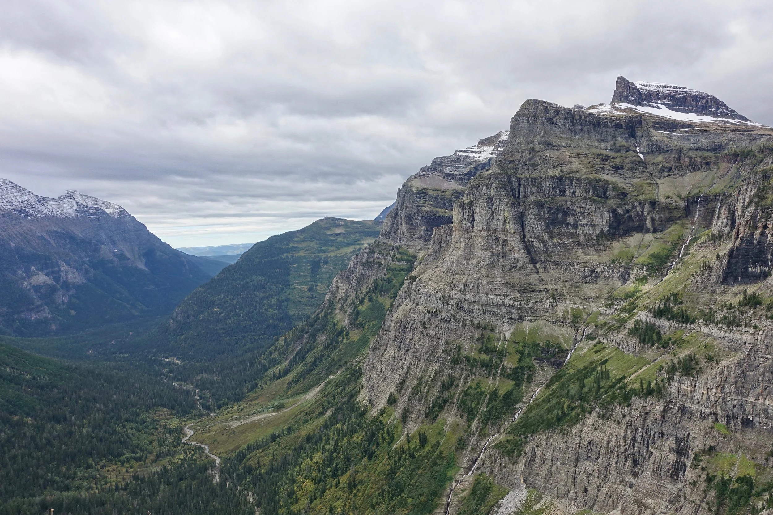
Approaching Hole-in-the-Wall
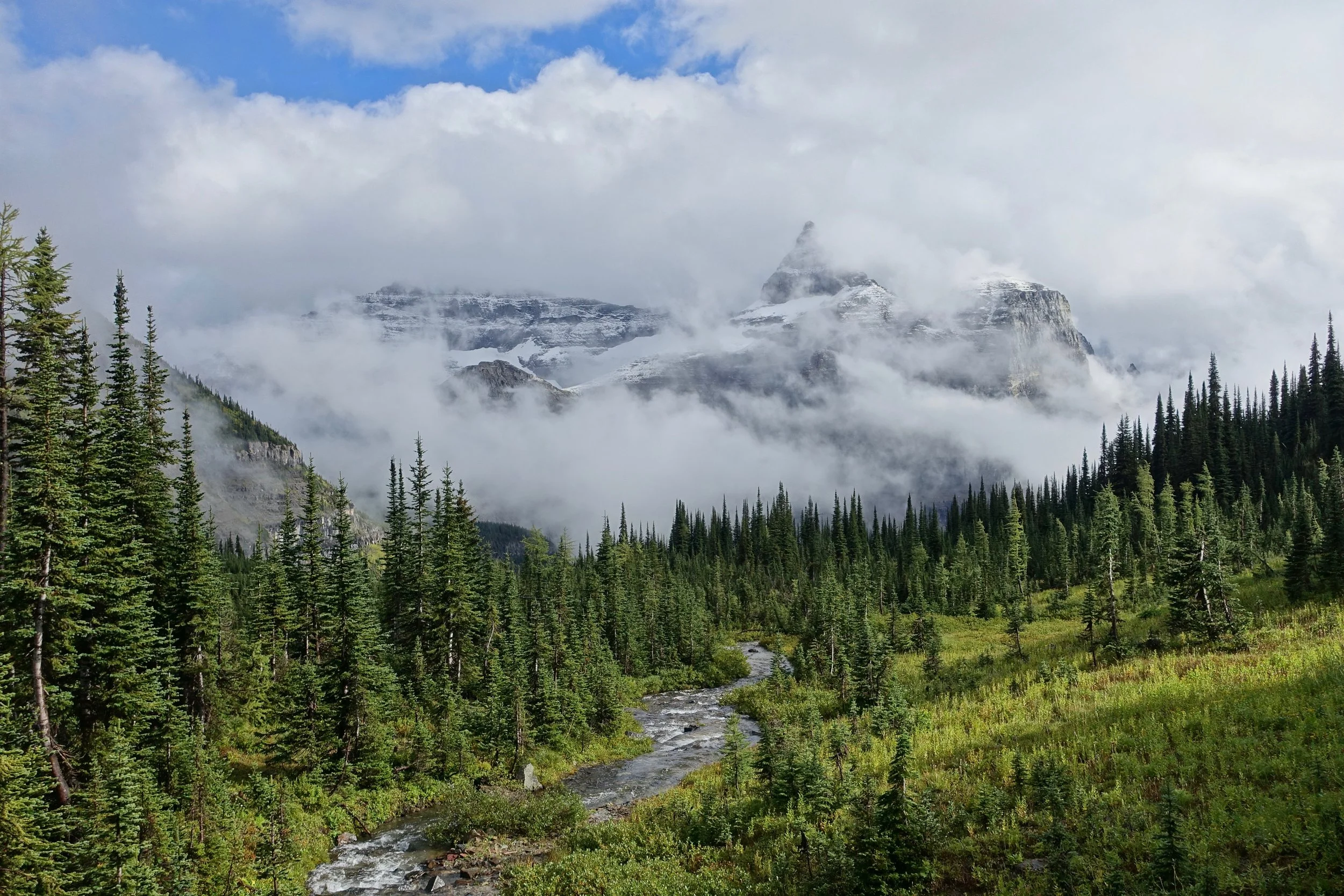
Hole in the Wall Campground
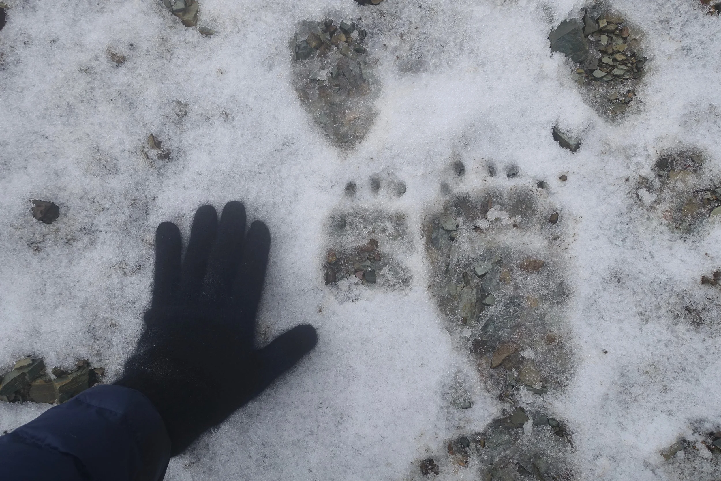
Walked slower than normal following these tracks up the pass in the morning fog, making sure they stayed in the lead
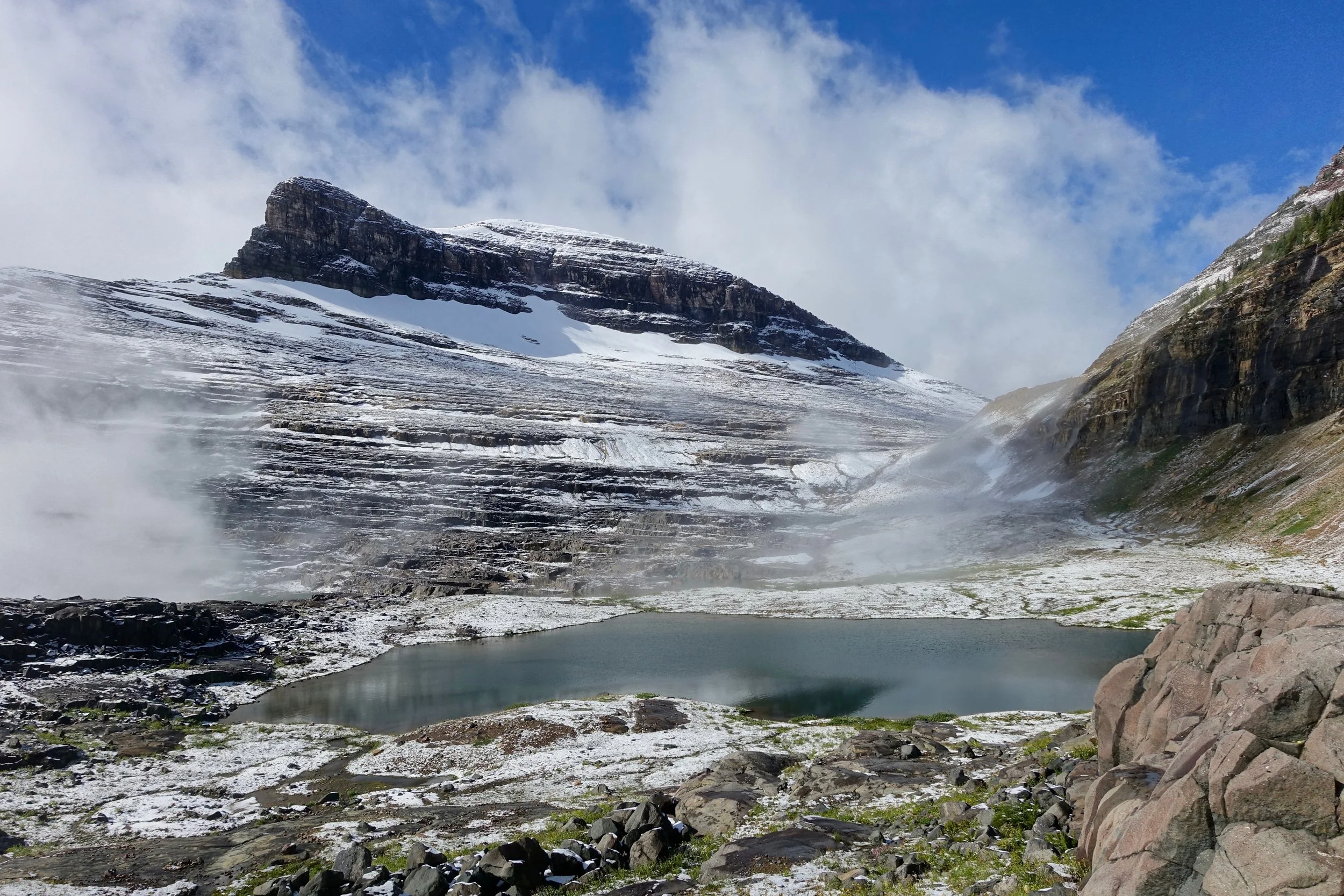
Boulder Pass
I started the hike in Canada, taking the boat shuttle from Waterton Lakes National Park. Two nights at Boulder Pass would be ideal, although Hole in the Wall campground can be an alternative if no availability. Climbing Boulder Peak was the highlight of the walk
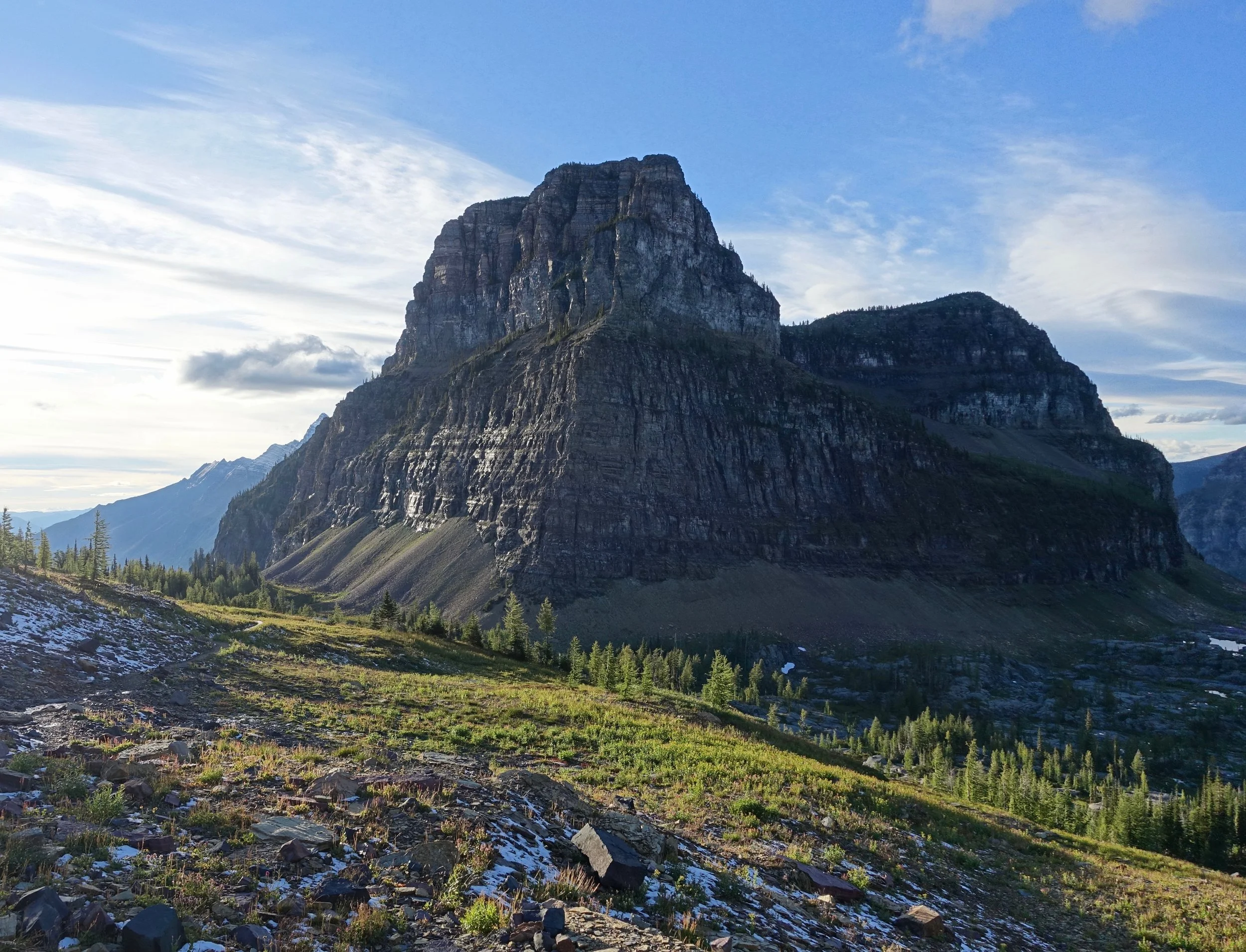
Gardner Point
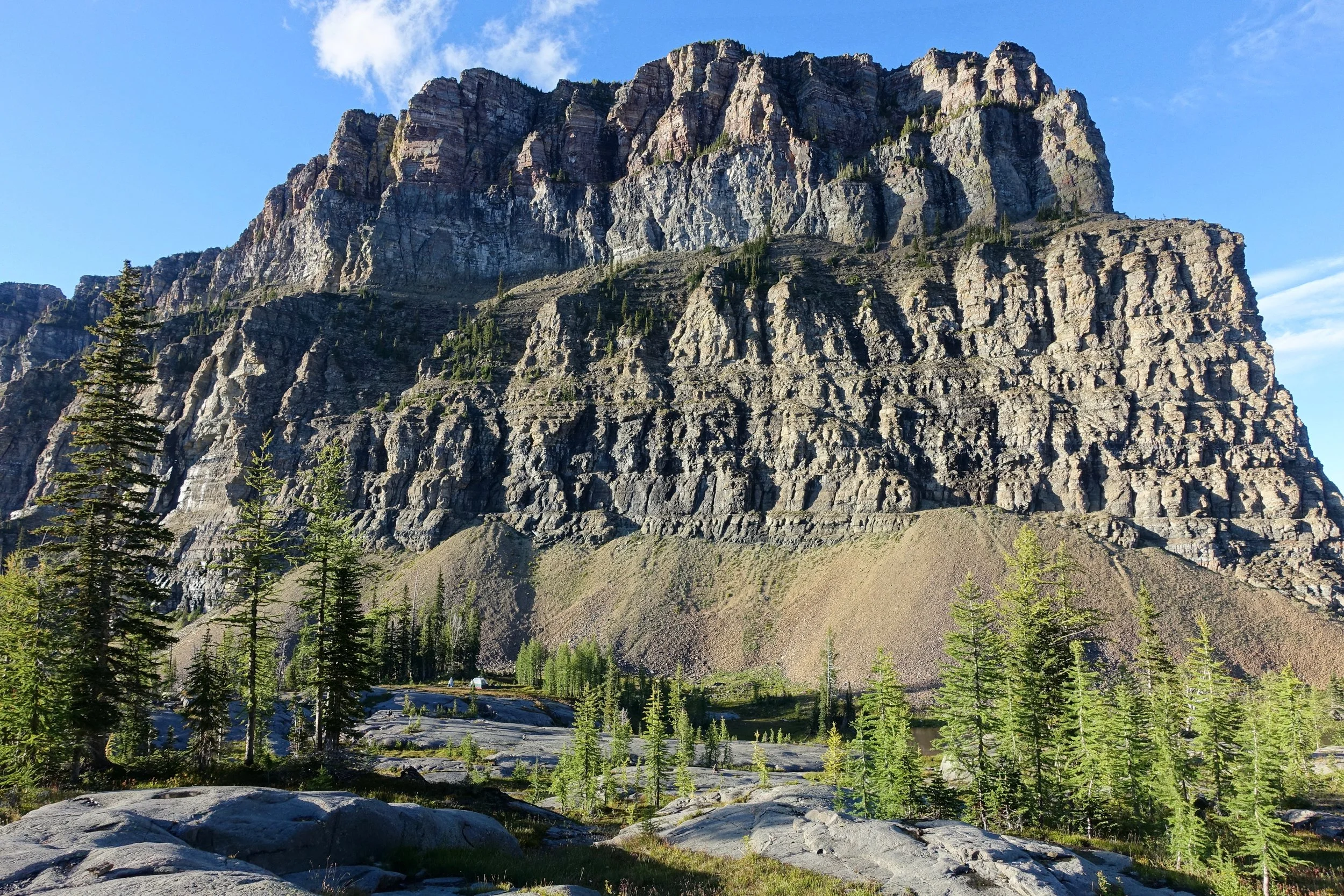
Campsite for the evening at Boulder Pass
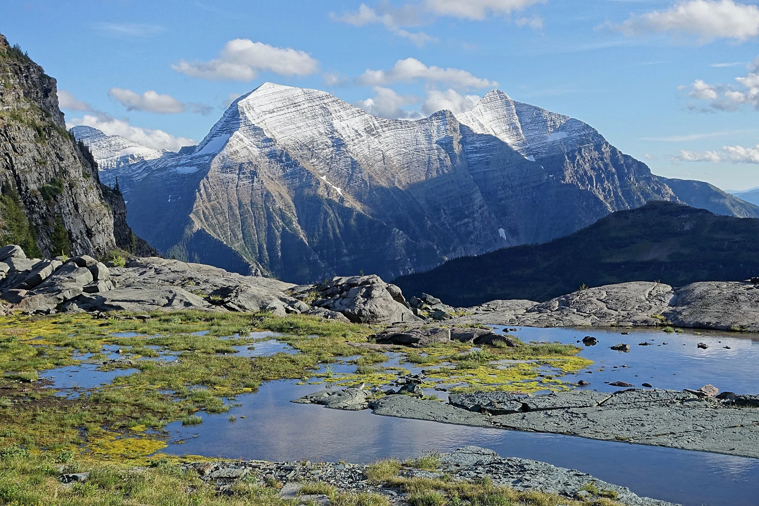
I had a free day in the Boulder Pass area and climbed Boulder peak for a great view of Pocket Lake and the western peaks
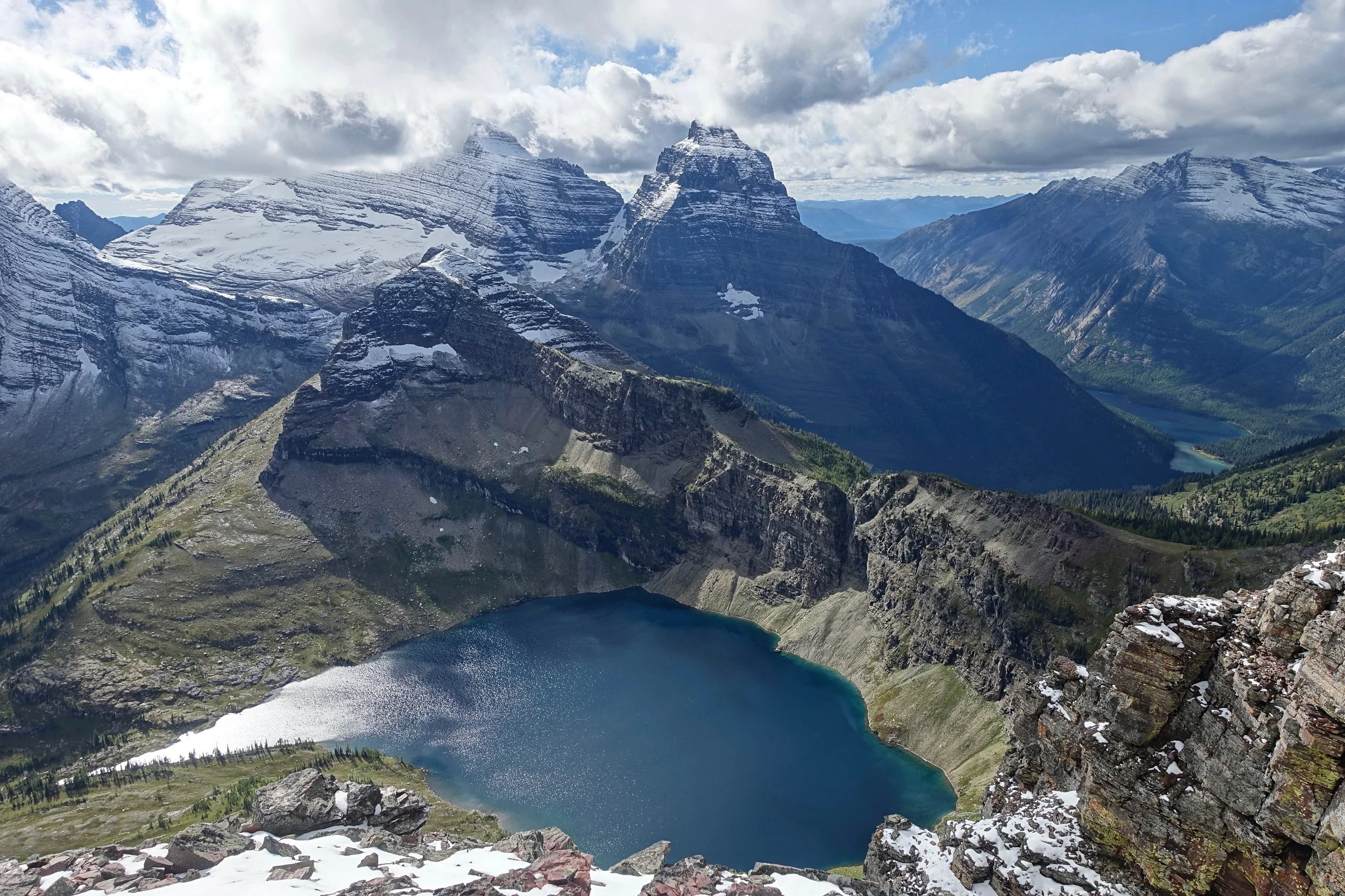
Boulder Peak Summit looking west towards Kinnerly
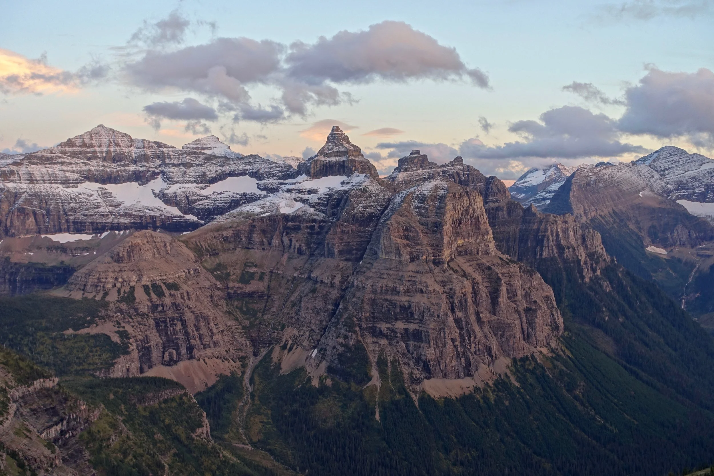
Thunderbird Mountain from the Boulder Pass overlook trail
Beartooth High Route (North)
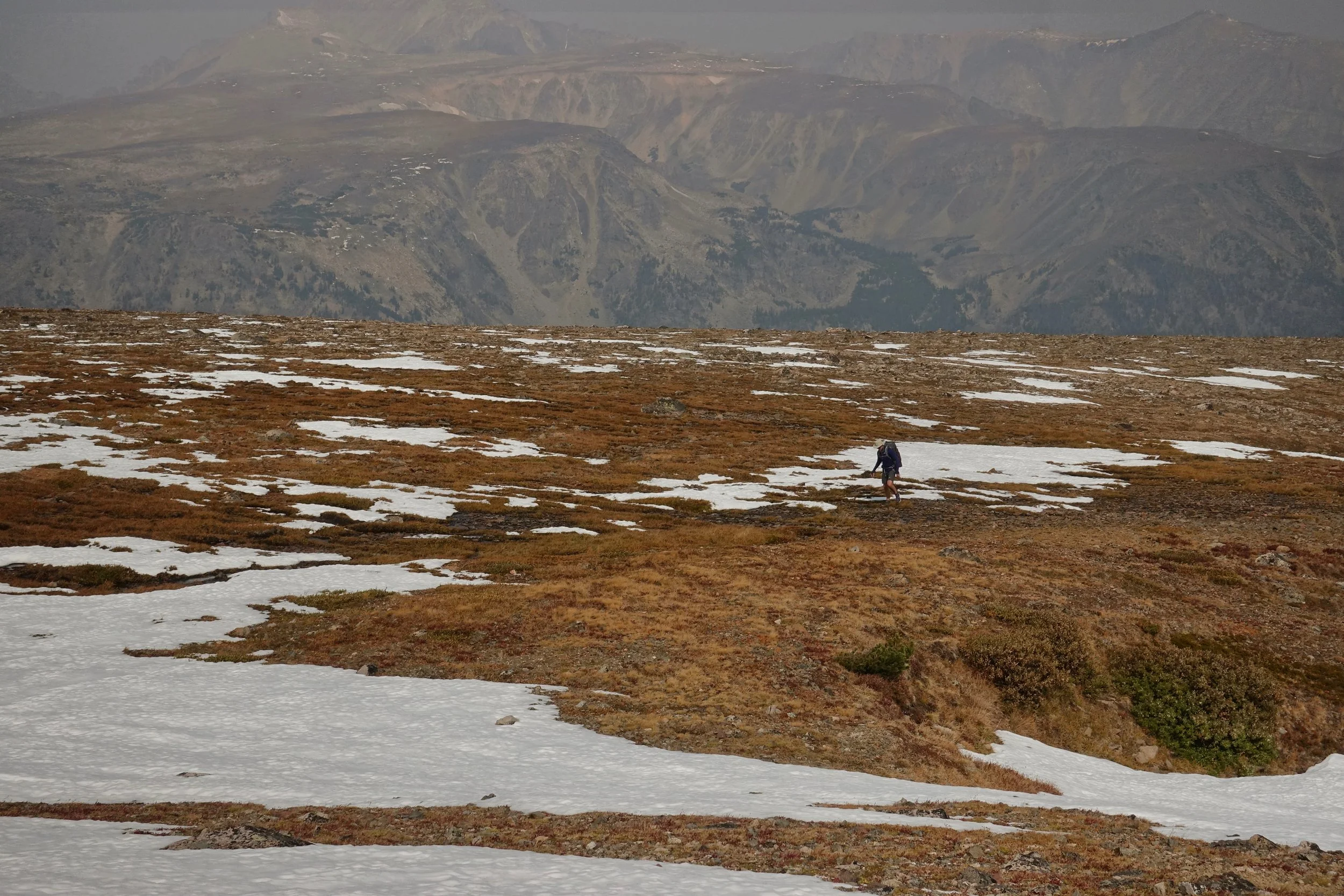
Scott joined me on the walk, his first high route.. not breaking him in gently as we gained 5,000 feet going across Froze to Death Plateau from Phantom Creek
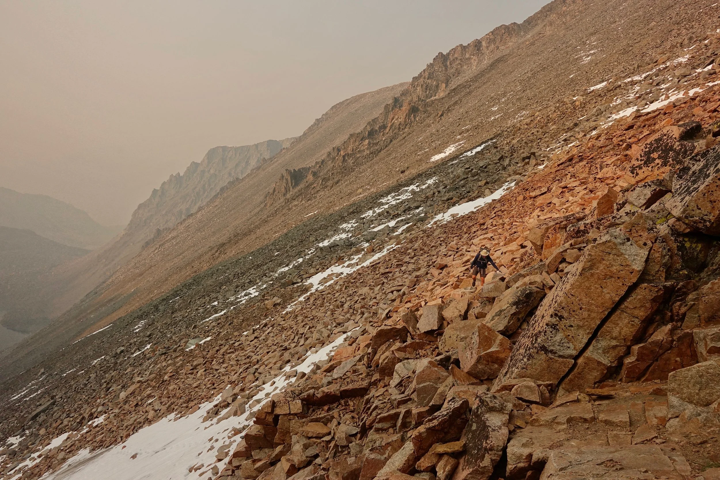
Loose rock on the pass towards Lowary Lake
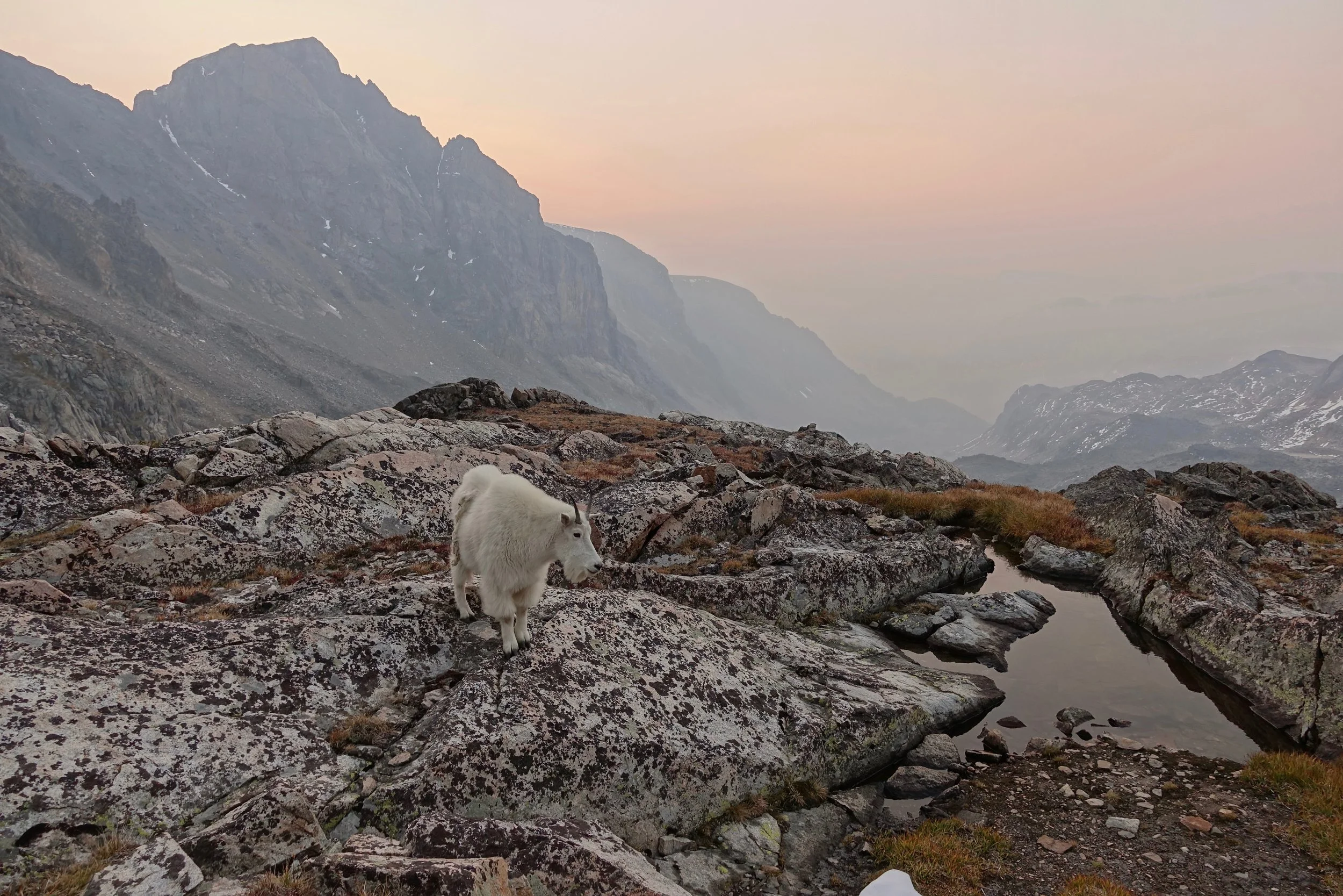
The mountain goat that wondered around our tents during the night
The middle two days are off trail between the Phantom Creek trail and the East Rosebud trail and take considerable more time
Overview Map
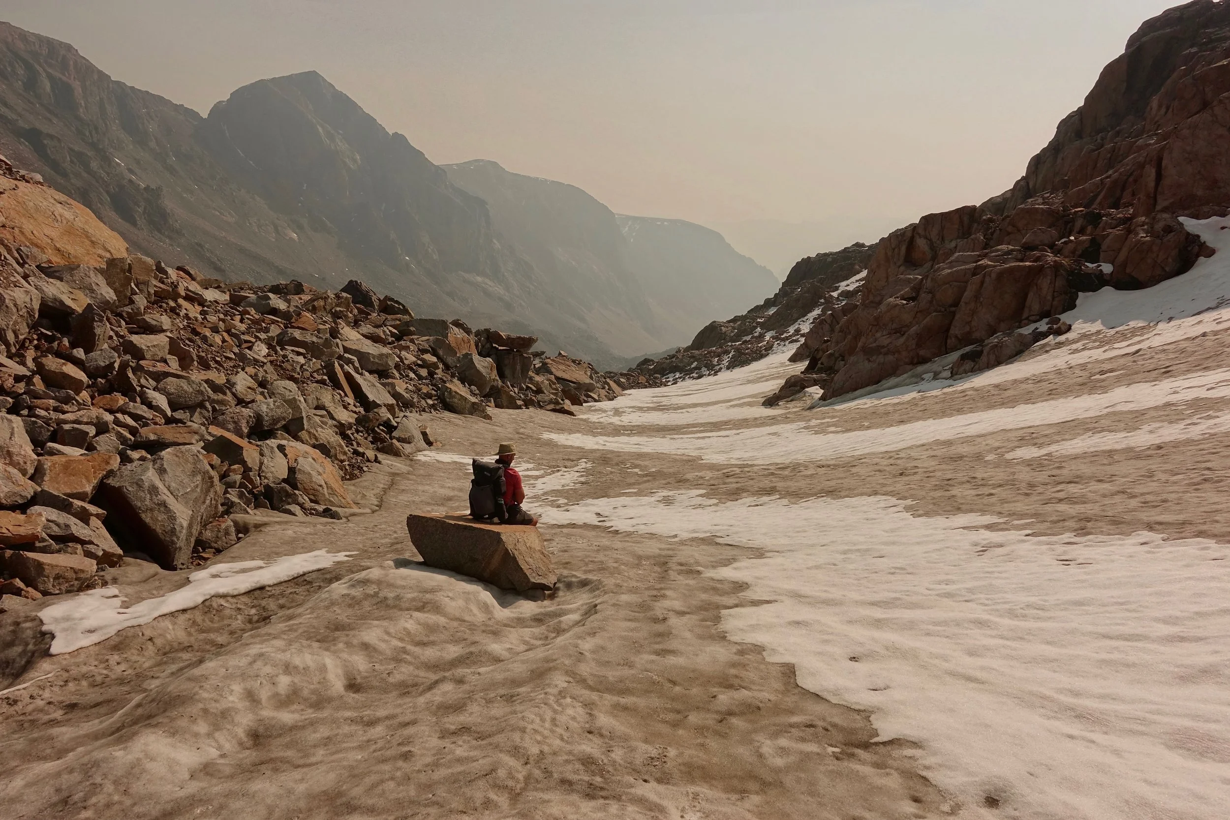
Climbing the pass in the morning towards the Sky Top Lakes area
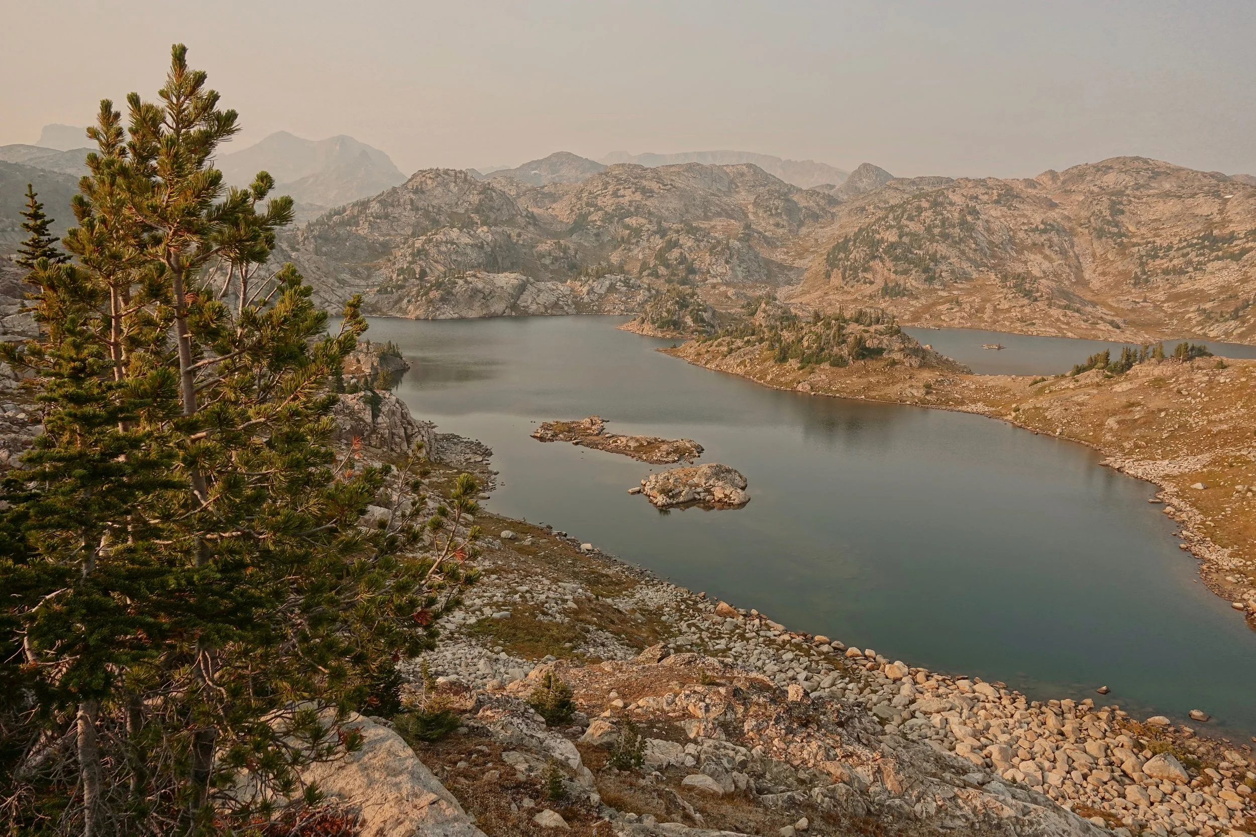
Fizzle Lake was the final off-trail section of our walk before hitting the East Rosebud Trail
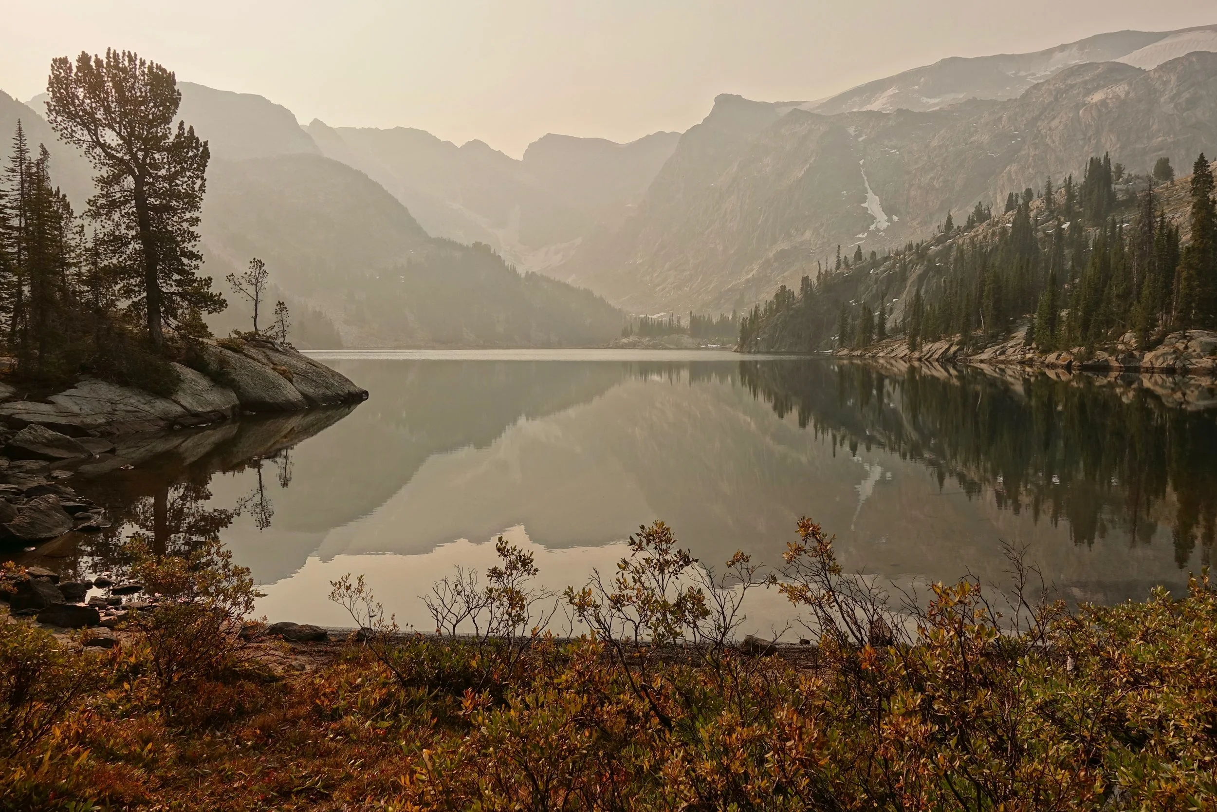
Dewey Lake on the return walk down to Phantom Creek
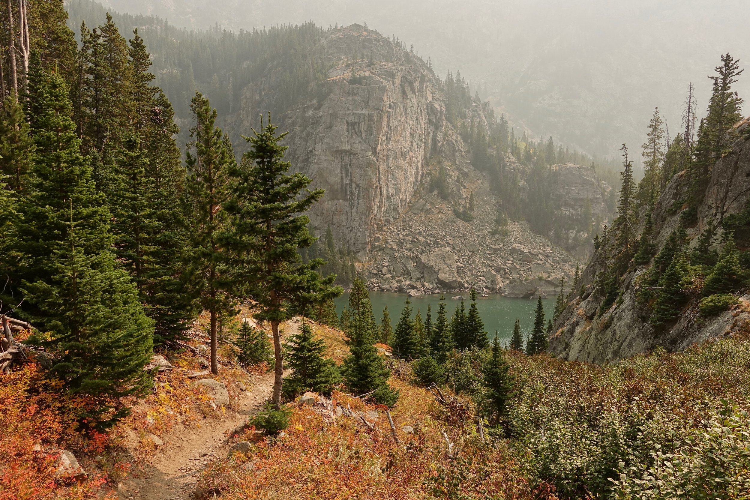
Fall colors near Rimrock Lake
Beartooth High Route (South)
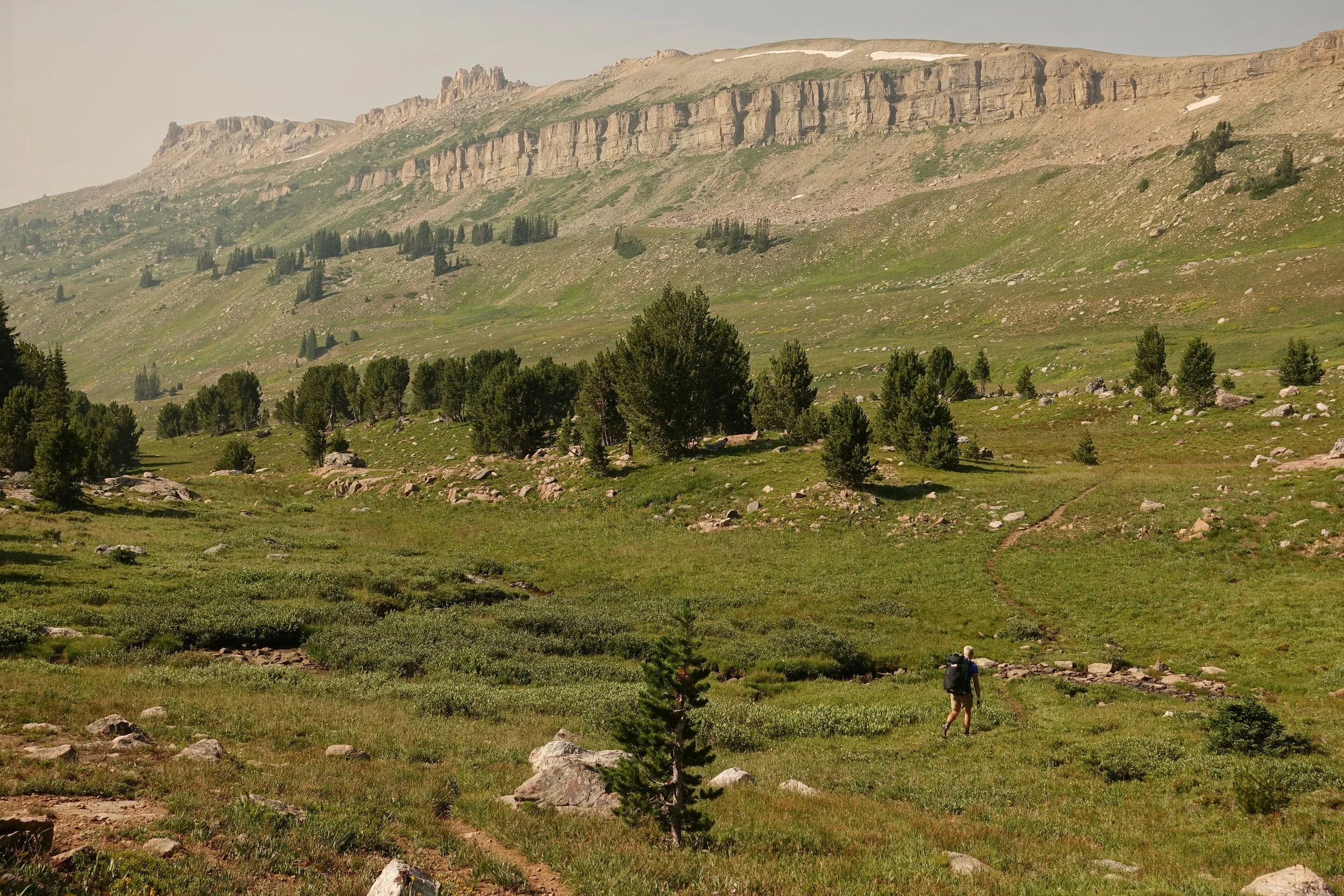
Connor joined me on the southern route a few years later (5 days, 51 miles)
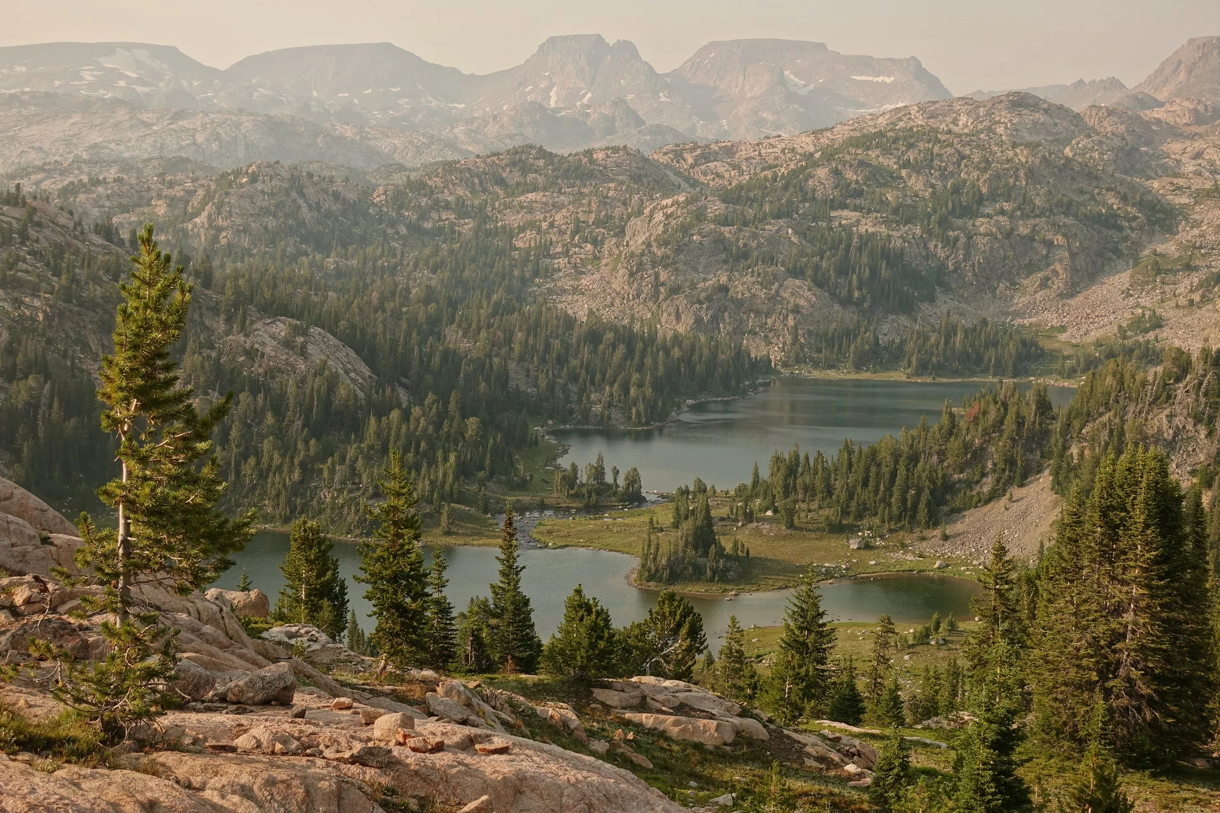
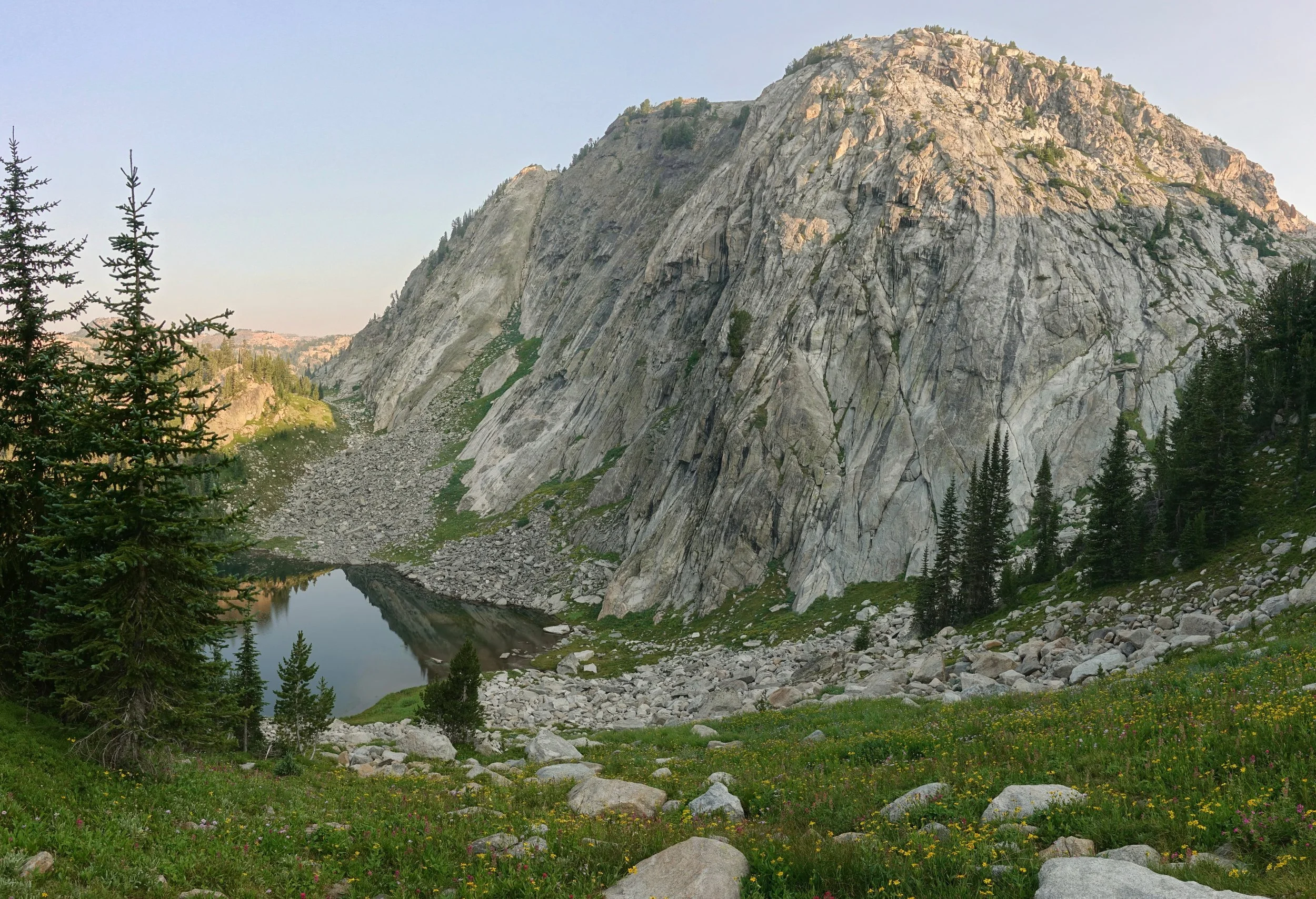
Wright and Martin Lakes near our first camp
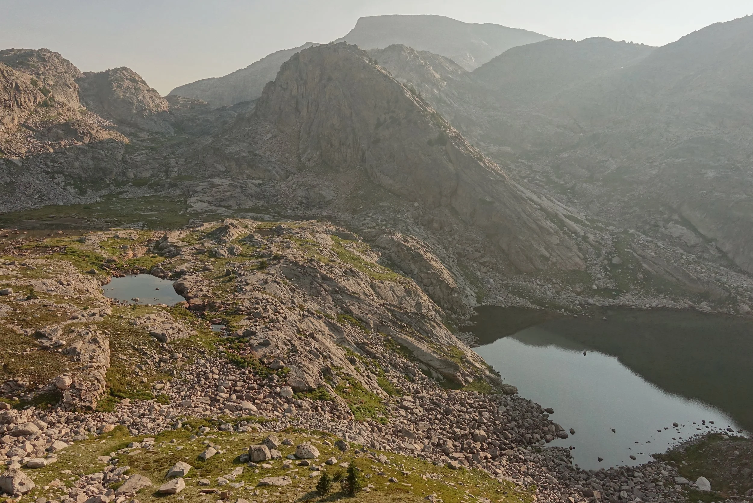
The hiking slower than expected on the altitude adjustment days leading to Ouzel Lake and Bald Knob
Starting the climb here to the ridge line and the off trail section of the walk
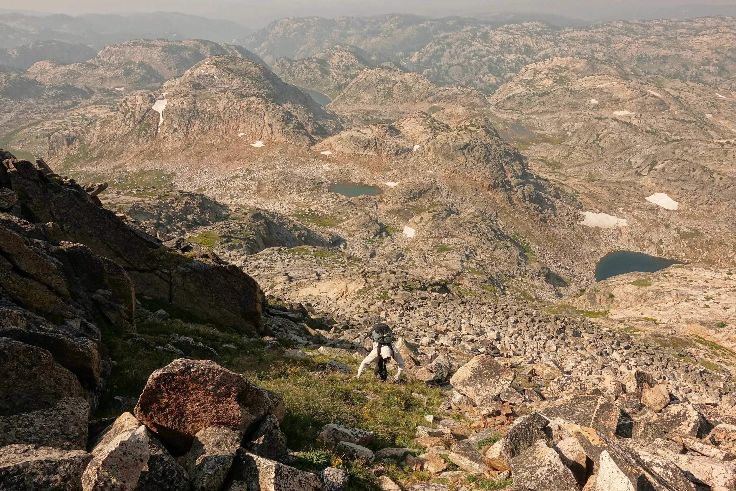
Higher on the Mount Rosebud climb. Connor chose to wear a thick hoody and sweatpants to keep the mosquitoes from biting
The first two days were on the lower trail system with camps below 10,000 feet to acclimate. The ridge line walk that goes from Mount Rosebud to Summit Mountain gives the best views and my favorite day considering both the northern and southern routes. If done again, I would allocate a separate day for the Spirit Mountain climb as lightning concerns had me turn around with really no place for safety on the long plateau. The climb would be better in the morning hours vs when I attempted in late afternoon. The mosquitoes were bad in early August, a late September only destination if I return.
Overview Map
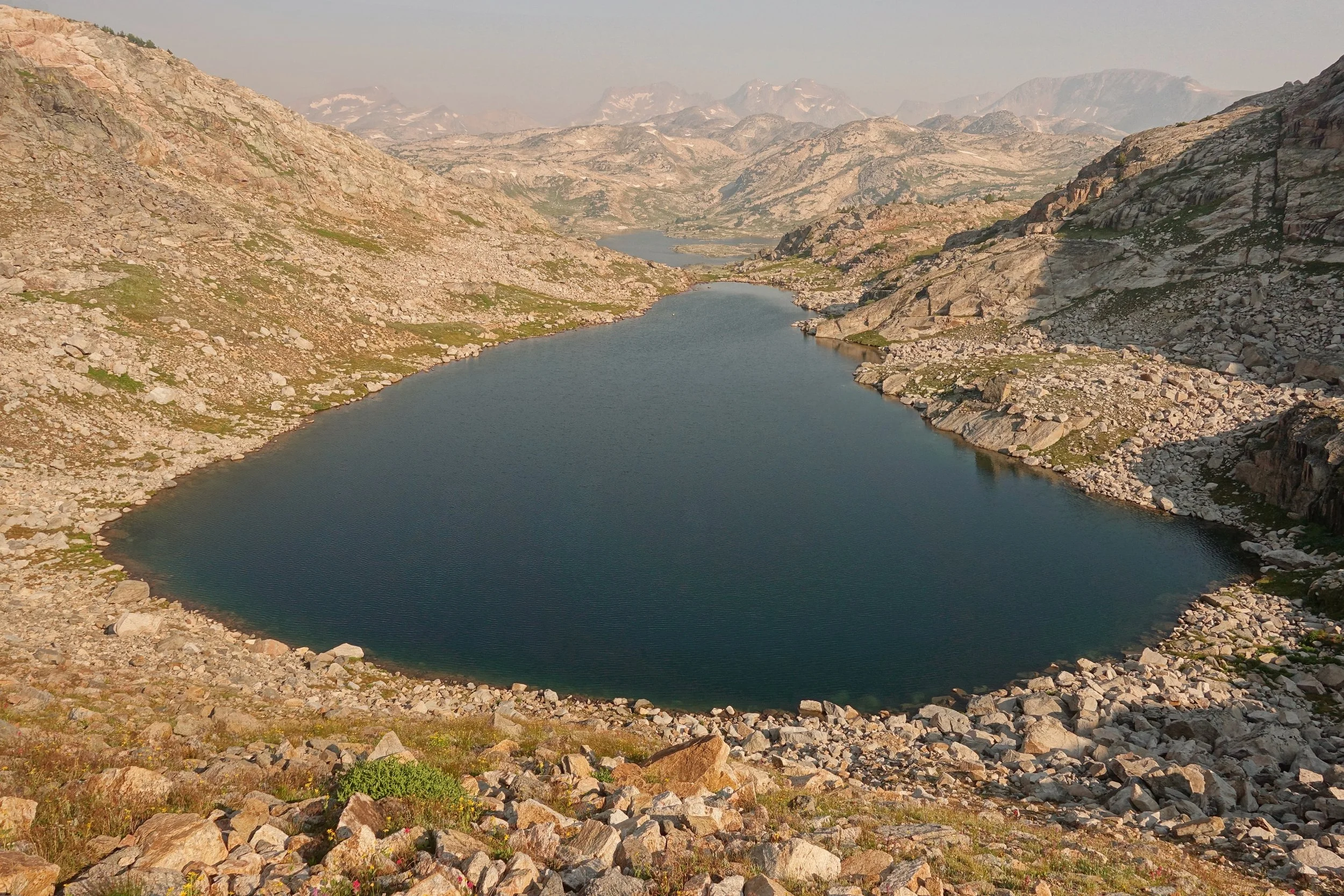
Unnamed lake
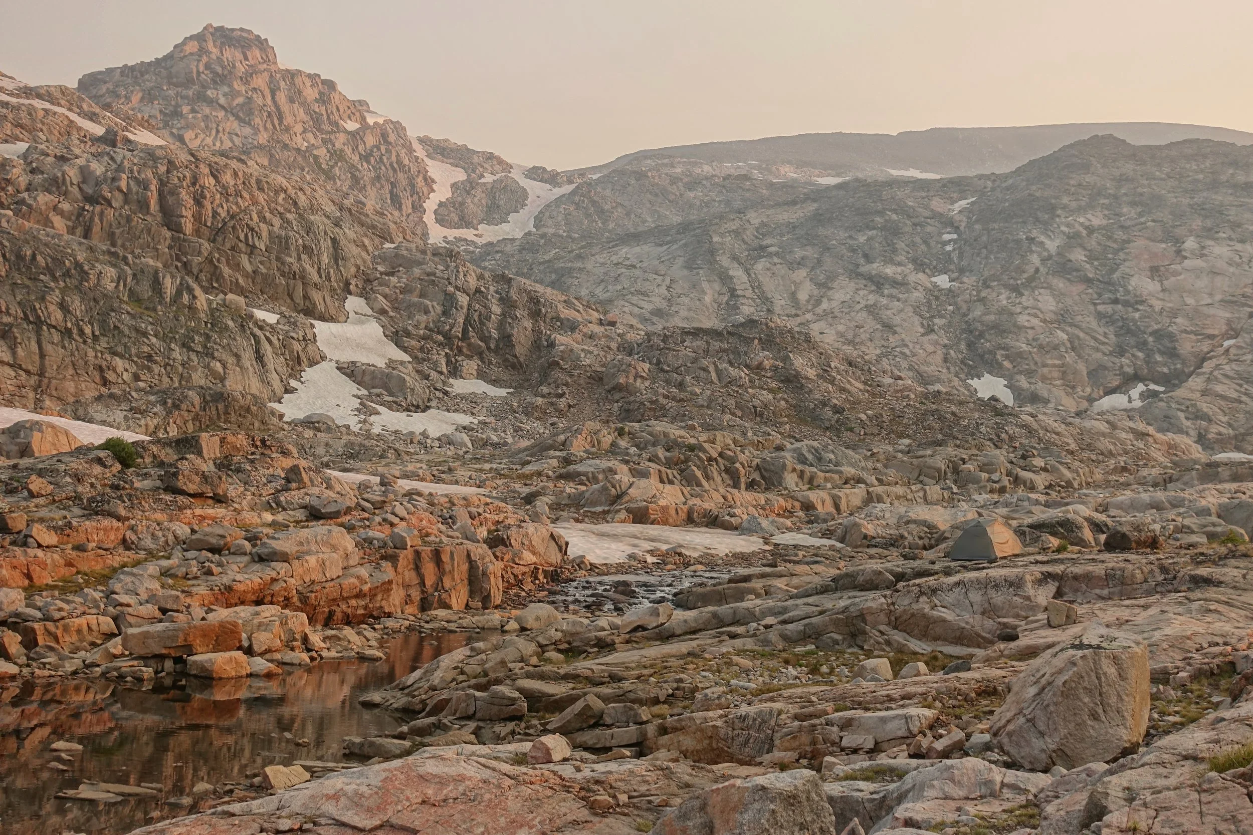
High camp on the third night
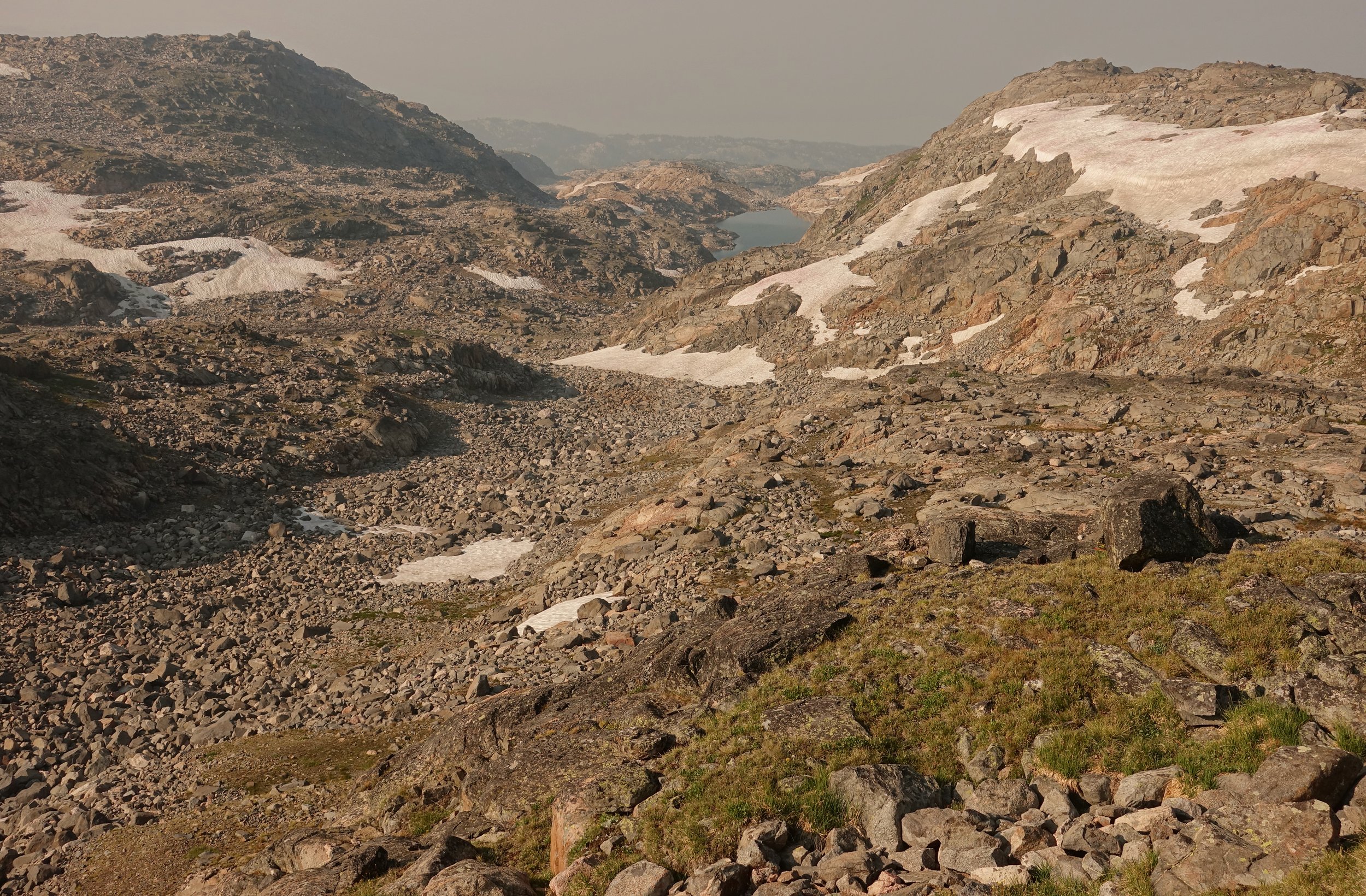
Microspikes were enough for the route, only one instance where an ice axe could have helped but could get around any snowfield with enough effort in early August
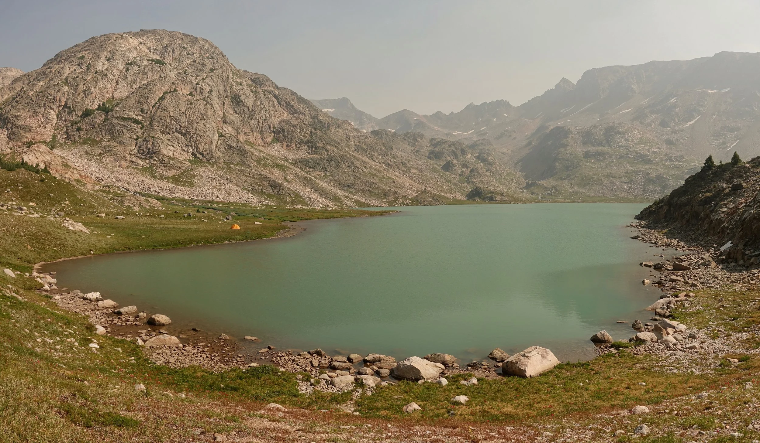
Flat Rock Lake near Castle Mountain
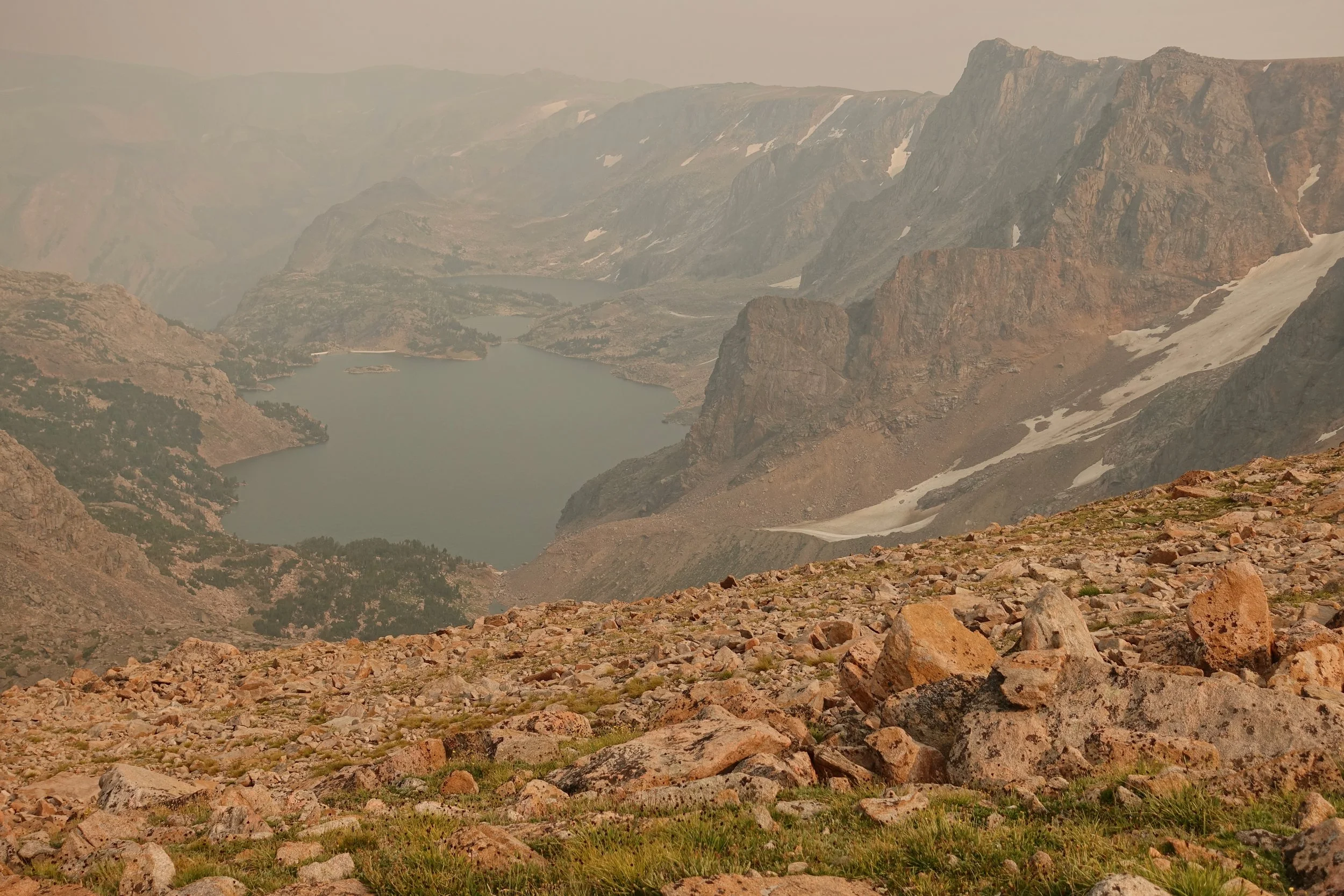
Smoky view towards Glacier and Emerald Lakes from the Spirit Mountain plateau