Canada - East
Northern and Long Traverse East Coast Trail Fundy Footpath and Dobson Trail
Churchill Wild Polar Bear Safari
Northern and Long Traverse
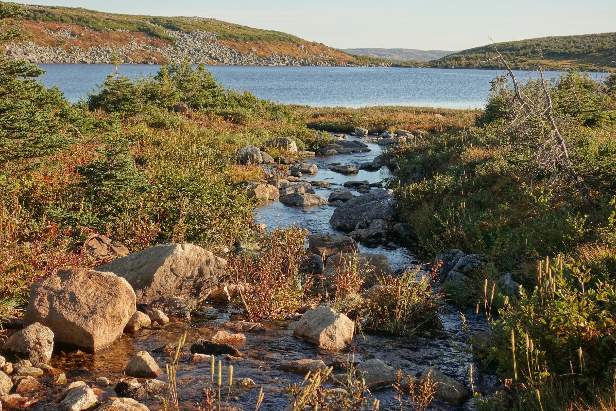
In late September, I walked the combined Northern and Long Traverse in Gros Morne National Park on the western end of Newfoundland (5 days, 33 miles)
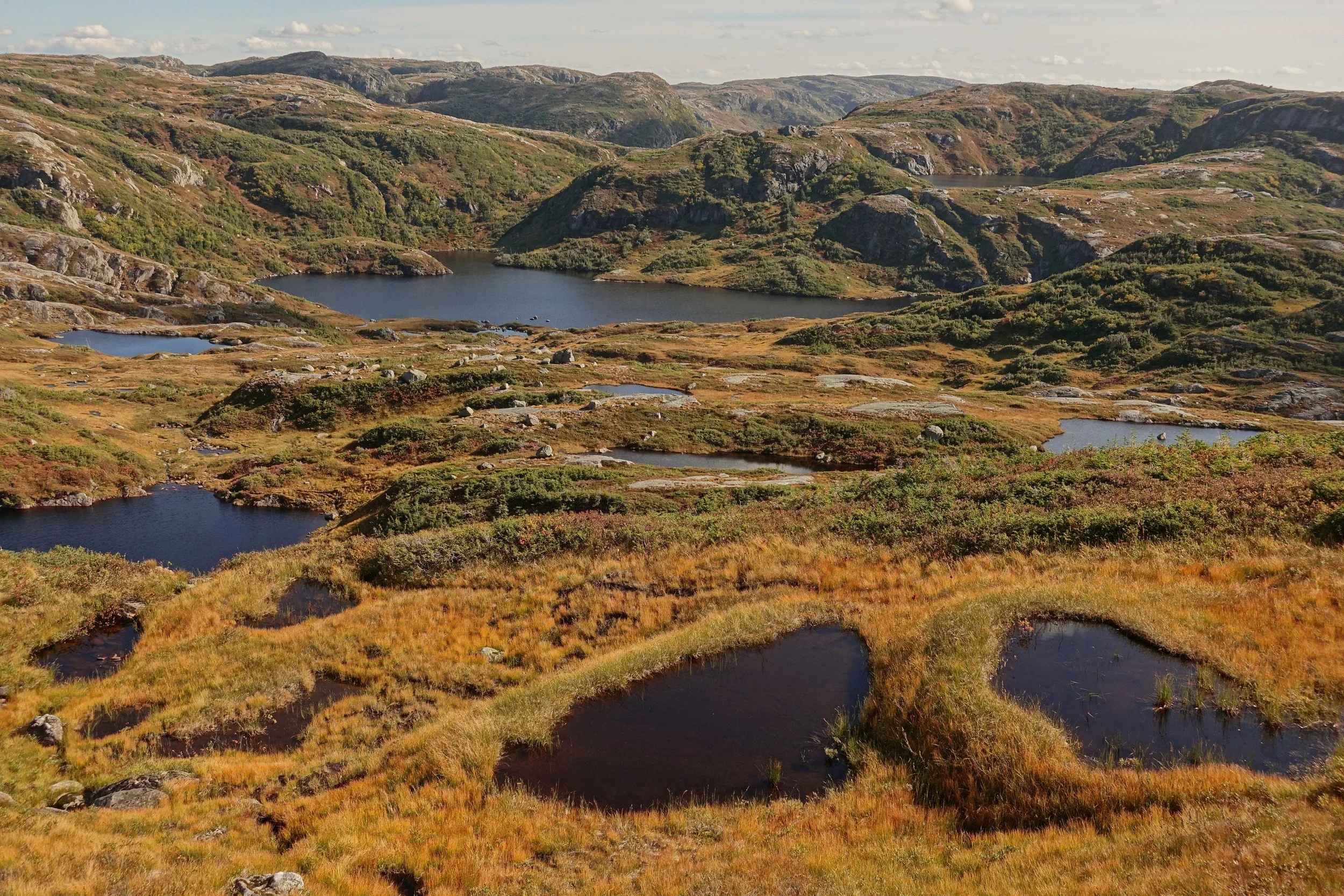
I started with the Northern Traverse crossing Western Brook and going through what Parks Canada calls the tuckamoor triangle
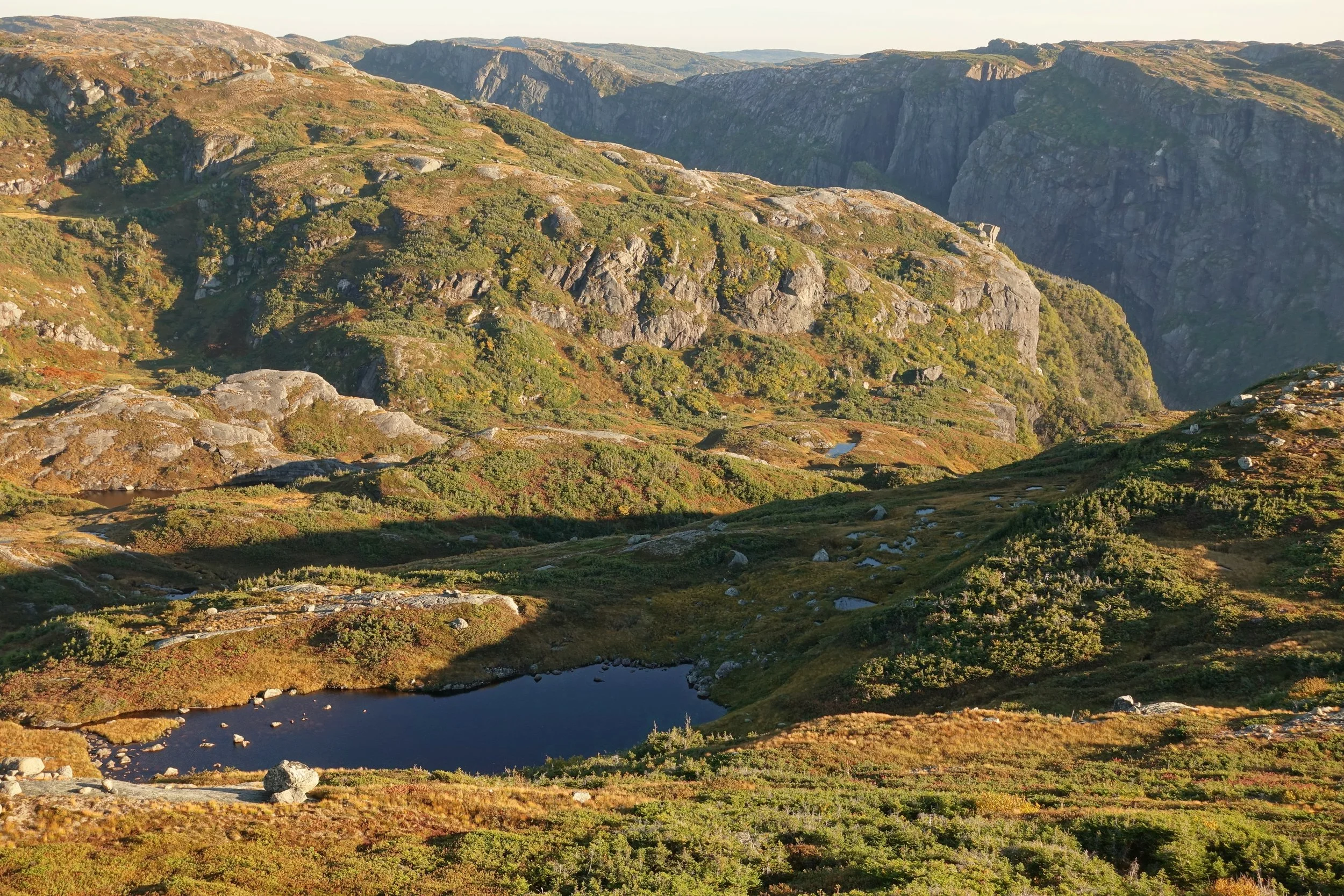
Reaching the excellent Gilley Pond area
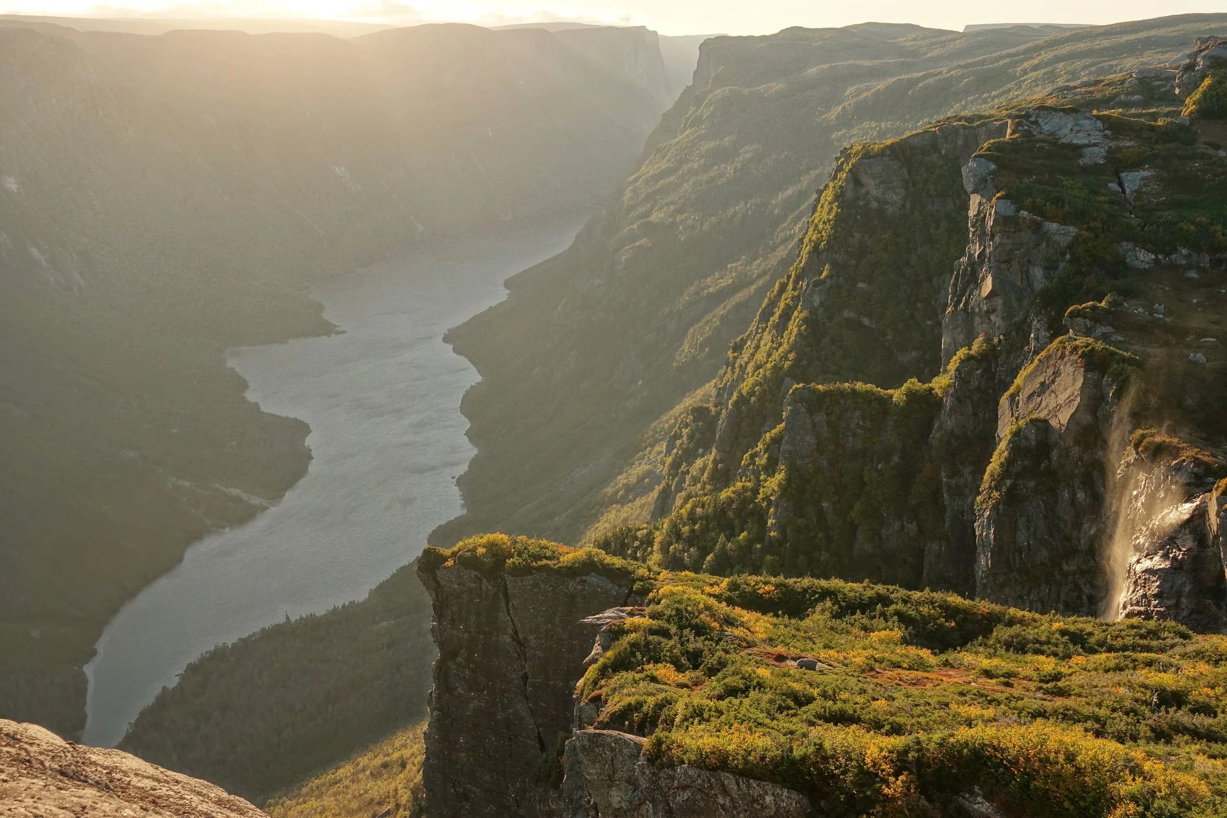
After setting up camp I went towards Western Brook Pond
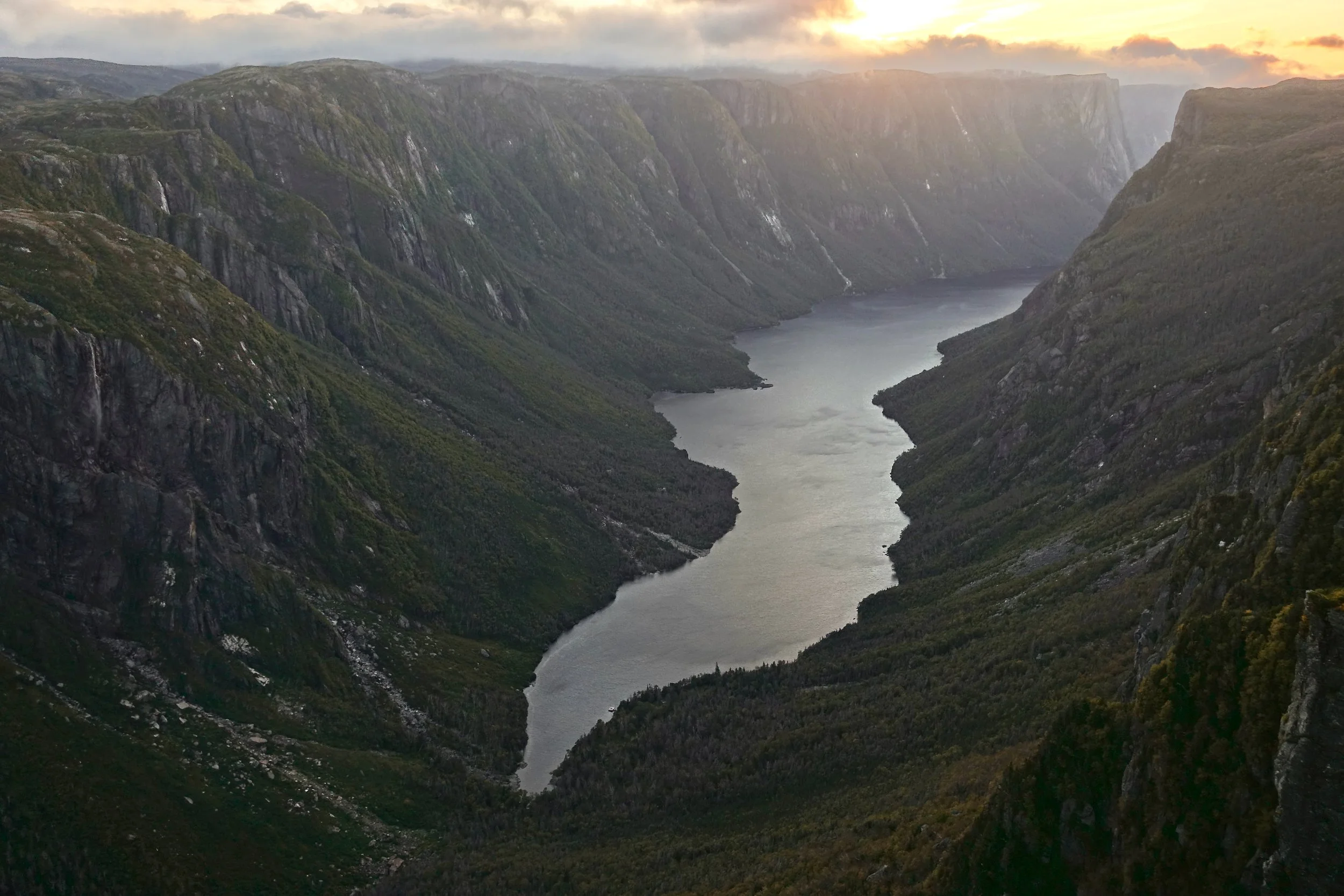
Clouds forming across Western Brook Pond at sunset
The Northern Traverse is largely a navigation test through vegetation. The highlight being the Gilley Pond camp where the brush lightens up and allows some exploration to a Western Brook Pond view. From what I was told no one really hikes this section now that there is a ferry. The area doesn’t seem to be a focus, the tent pads were too small for a tent and the bear box would not lock at Triangle Pond.
The Long Traverse had a more pronounced trail and less vegetation. It gives sweeping views from a distance of Western Brook Pond and Ten Mile Pond. The Hardings Pond area and the Bakeapple Pond Viewpoint were the highlights, along with a side trip climb of Gros Morne Mountain. I got the last permit offered for the hiking season, ending the walk on the final day of September. There were no bugs at this time of year.
Overview Map
This viewpoint southwest of Gilley Pond is the reward for pushing through the brush up the Northern Traverse. The view is one mile closer to the tip of the water in the fjord and has better access from camp than the official “Western Brook Pond Viewpoint” on the map
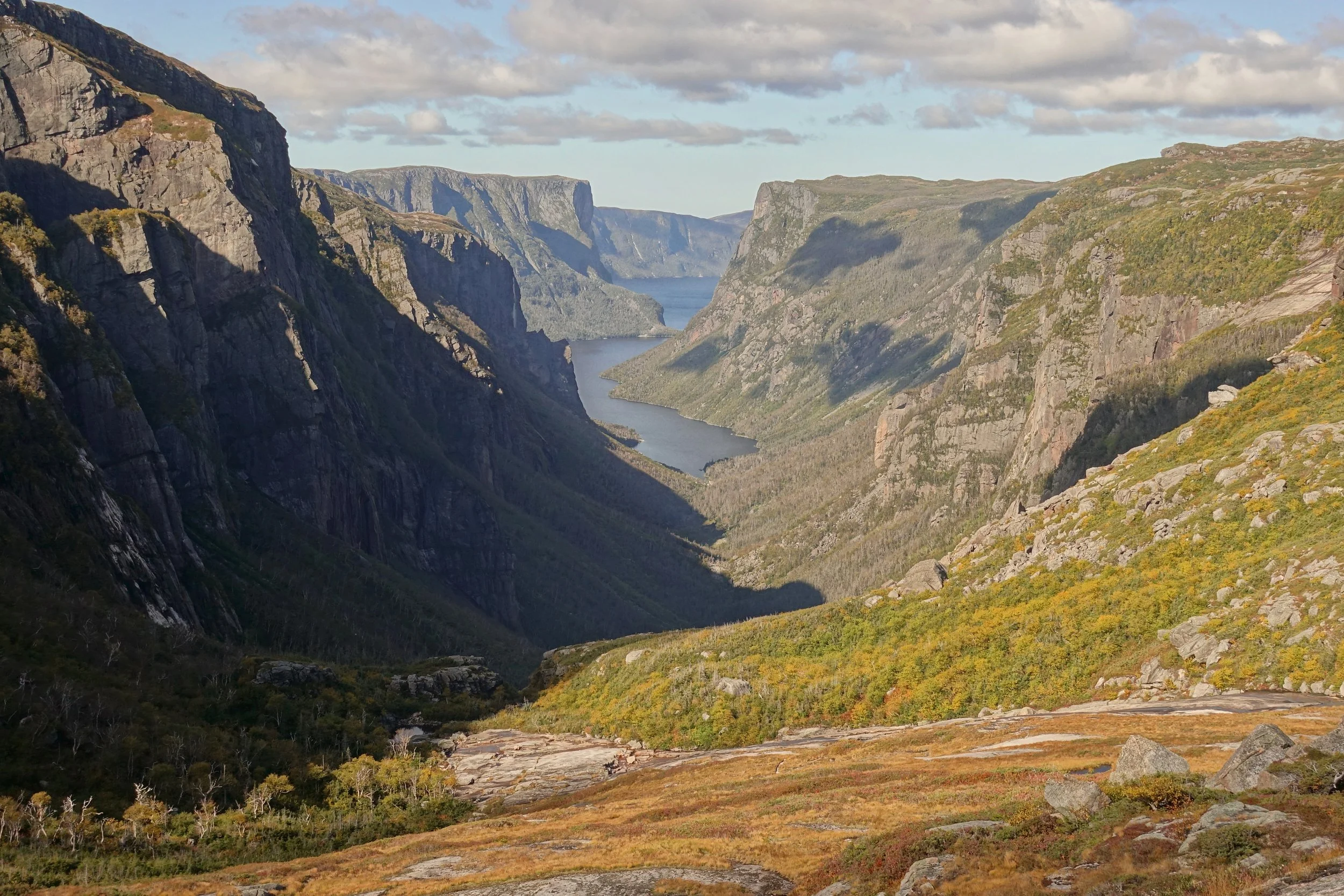
Final look at Western Brook where the Northern Traverse and Long Traverse meet
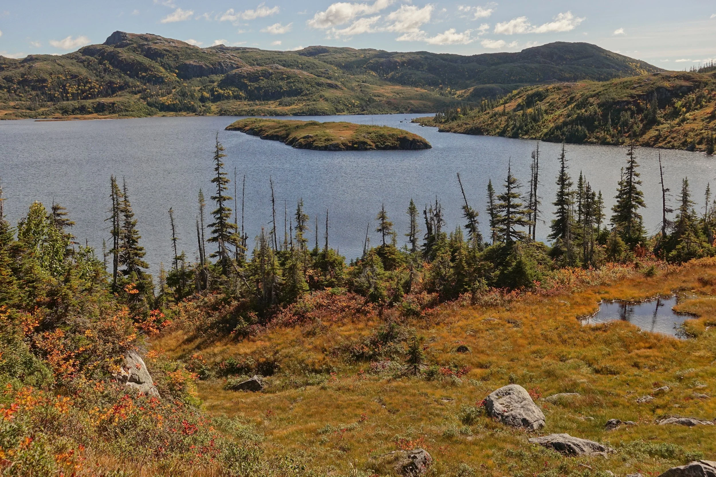
Little Island Pond
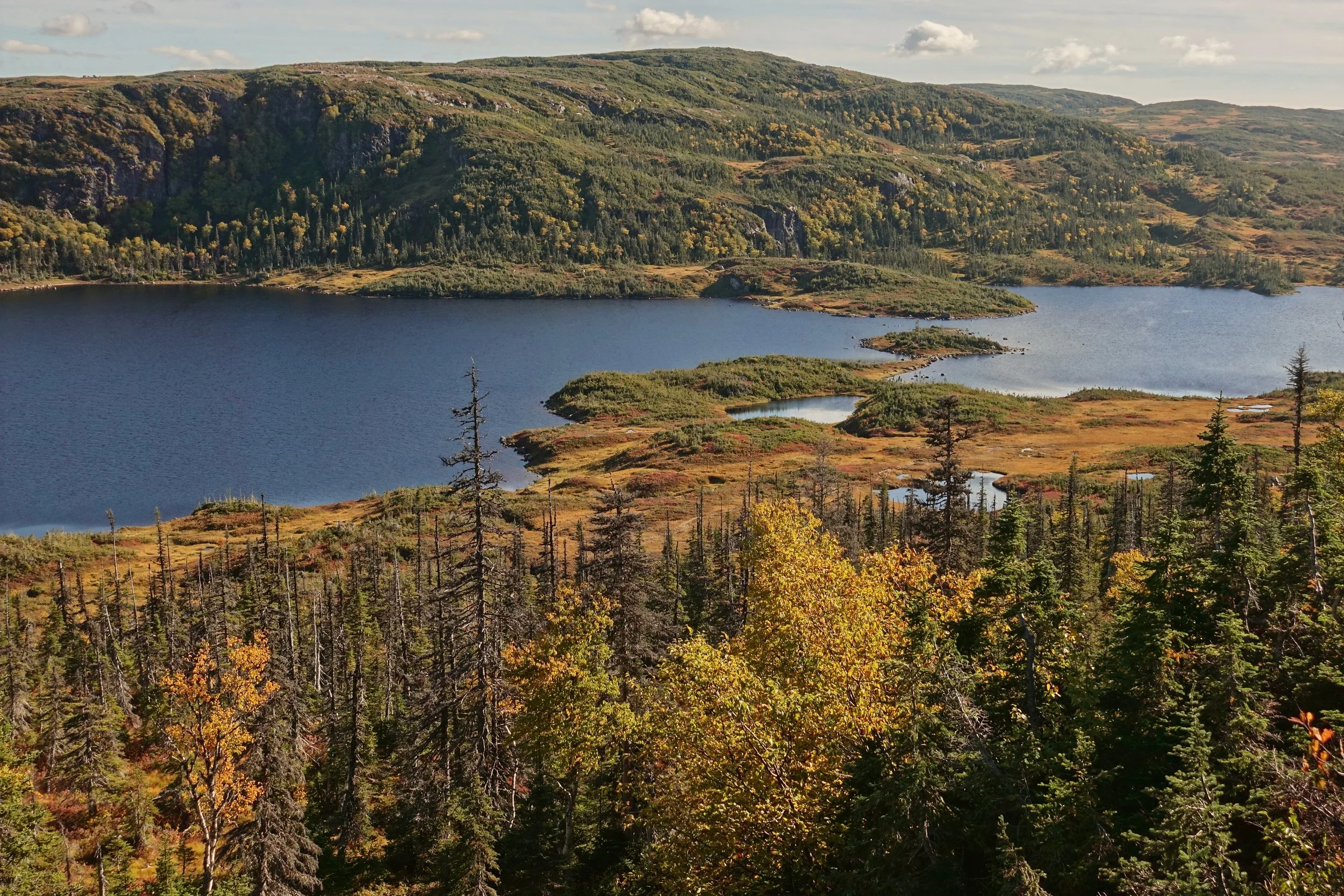
Coming down to Hardings Pond where I would camp for the night
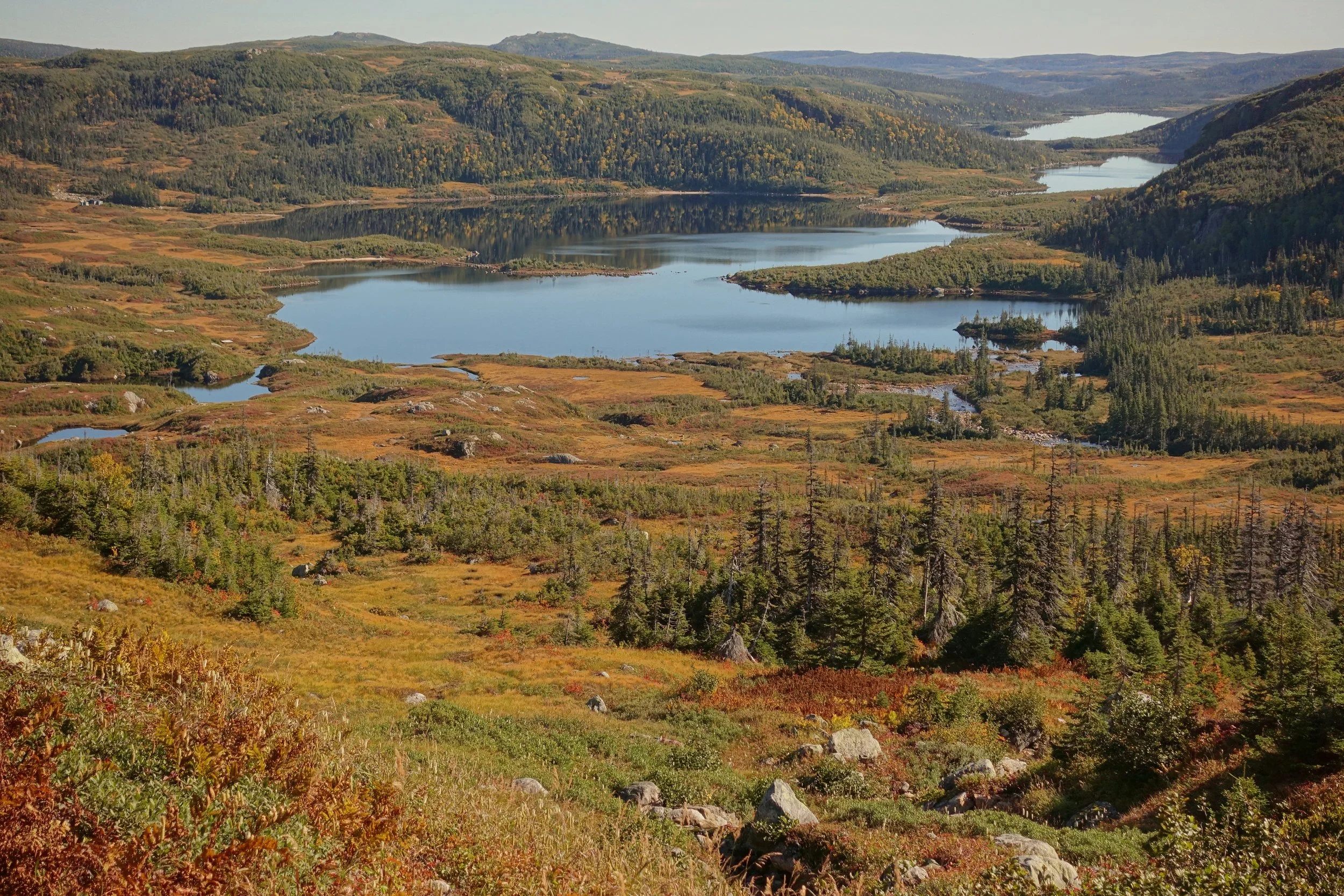
Climbing the pass in the morning with Hardings Pond, Black Cliff Pond, and Candlestick Pond in the distance
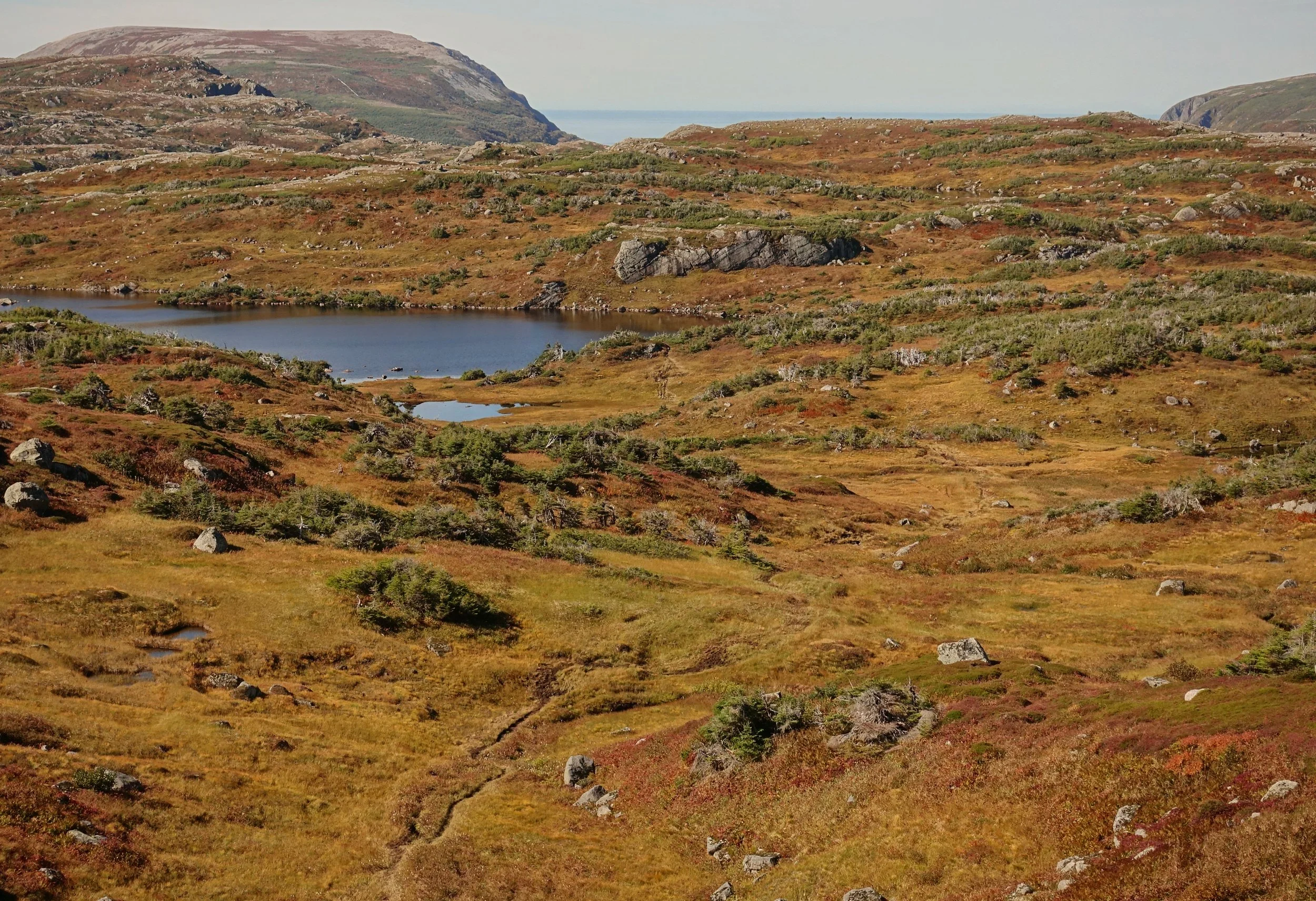
The vegetation is a non-factor compared to the Northern Traverse although the trail is muddy throughout
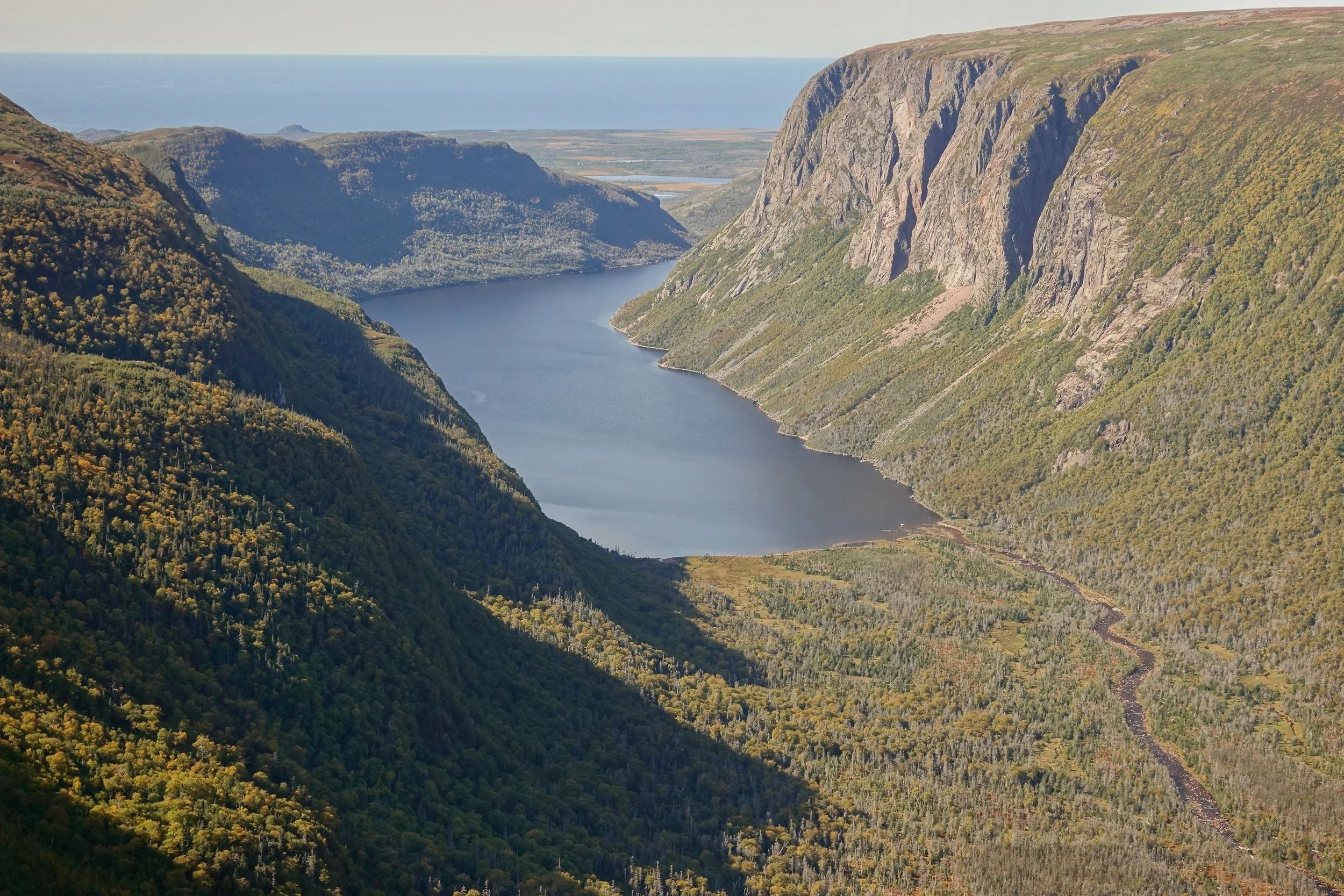
Bakeapple Pond Viewpoint
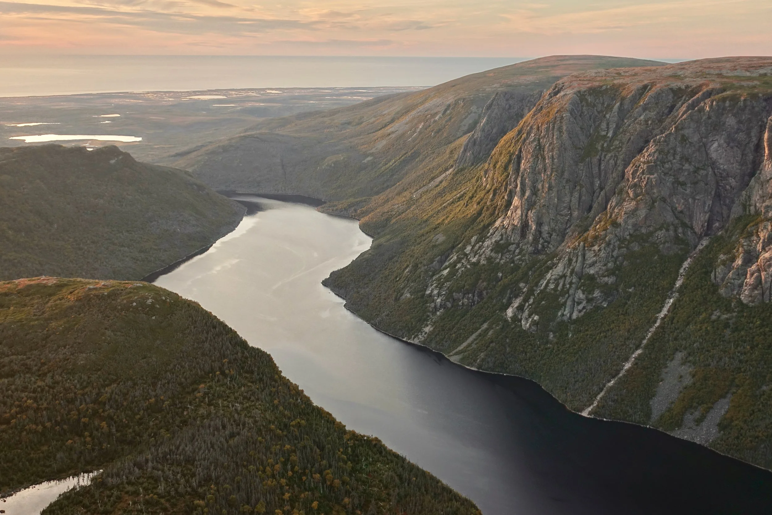
Sunset on the final night looking down on Ten Mile Pond towards the Gulf
East Coast Trail
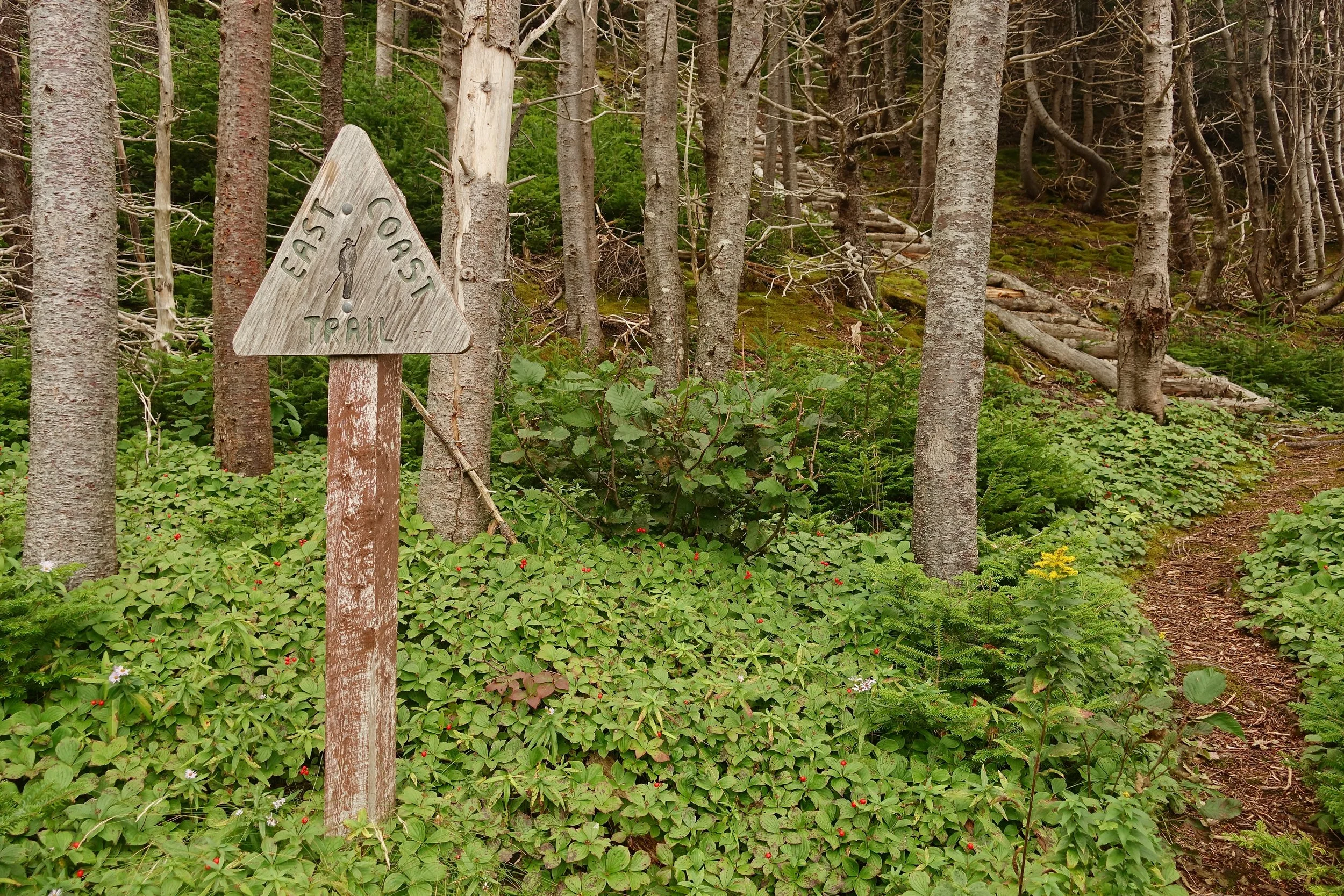
In early September, I walked the East Coast Trail in Newfoundland (14 days, 156 miles)
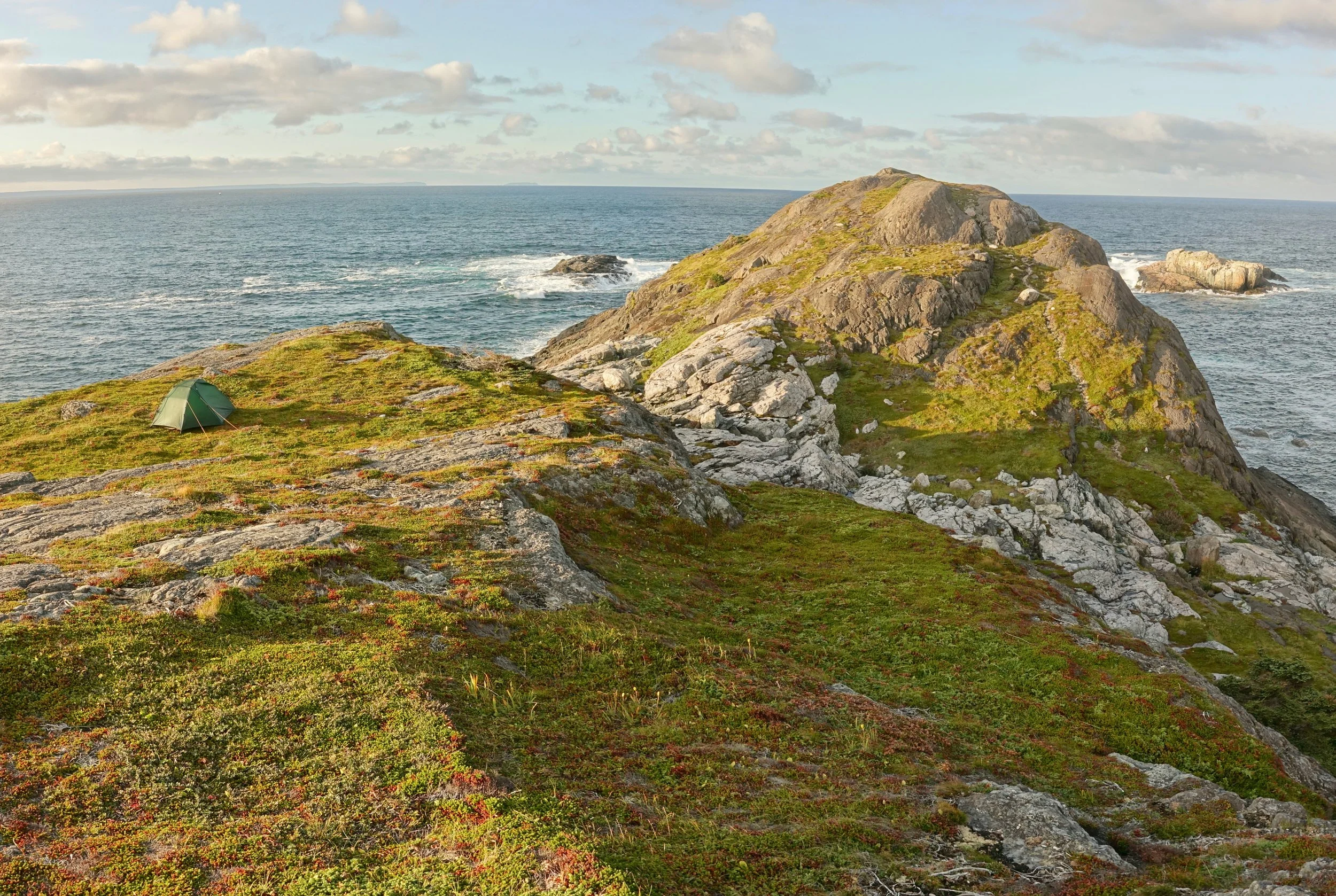
Excellent camp and sunset on the northern coast at Cripple Cove
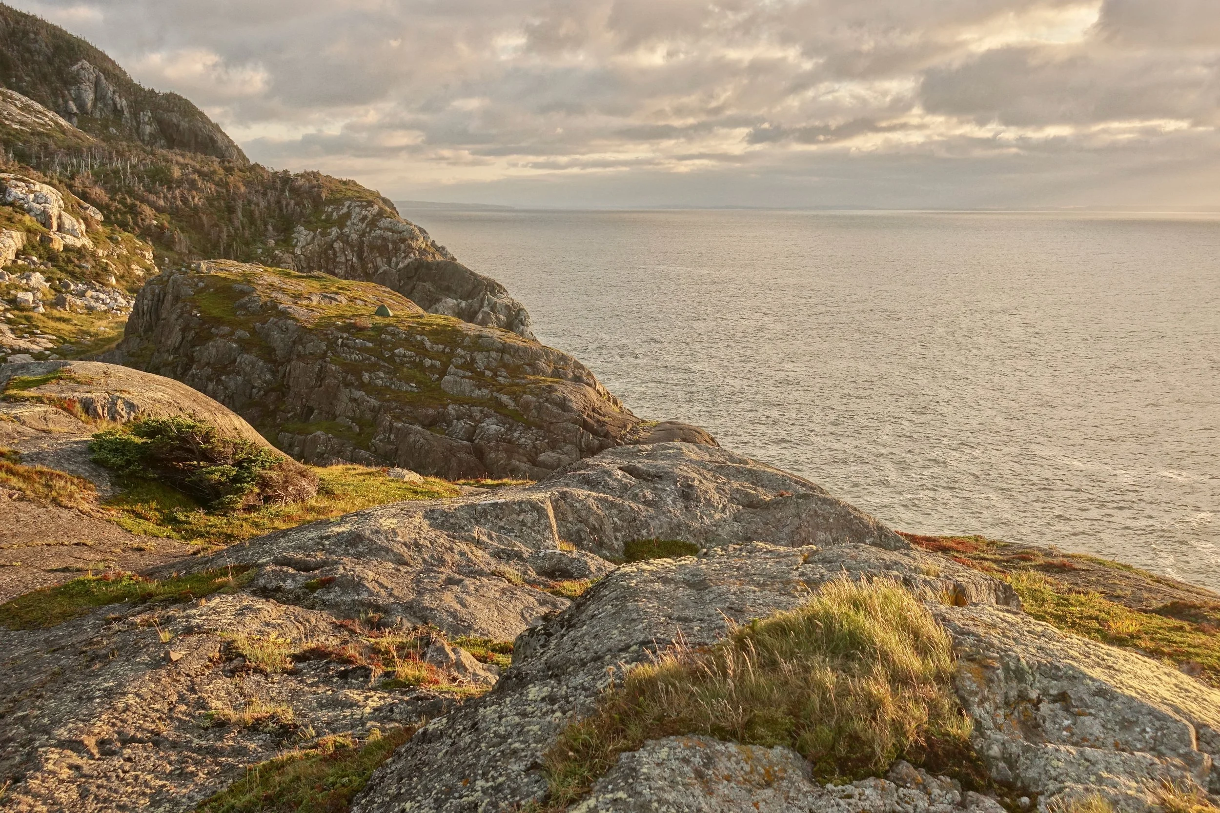
A nice grassy plateau for the tent. The only time I camped out in the open like this. Often needed the trees for shelter
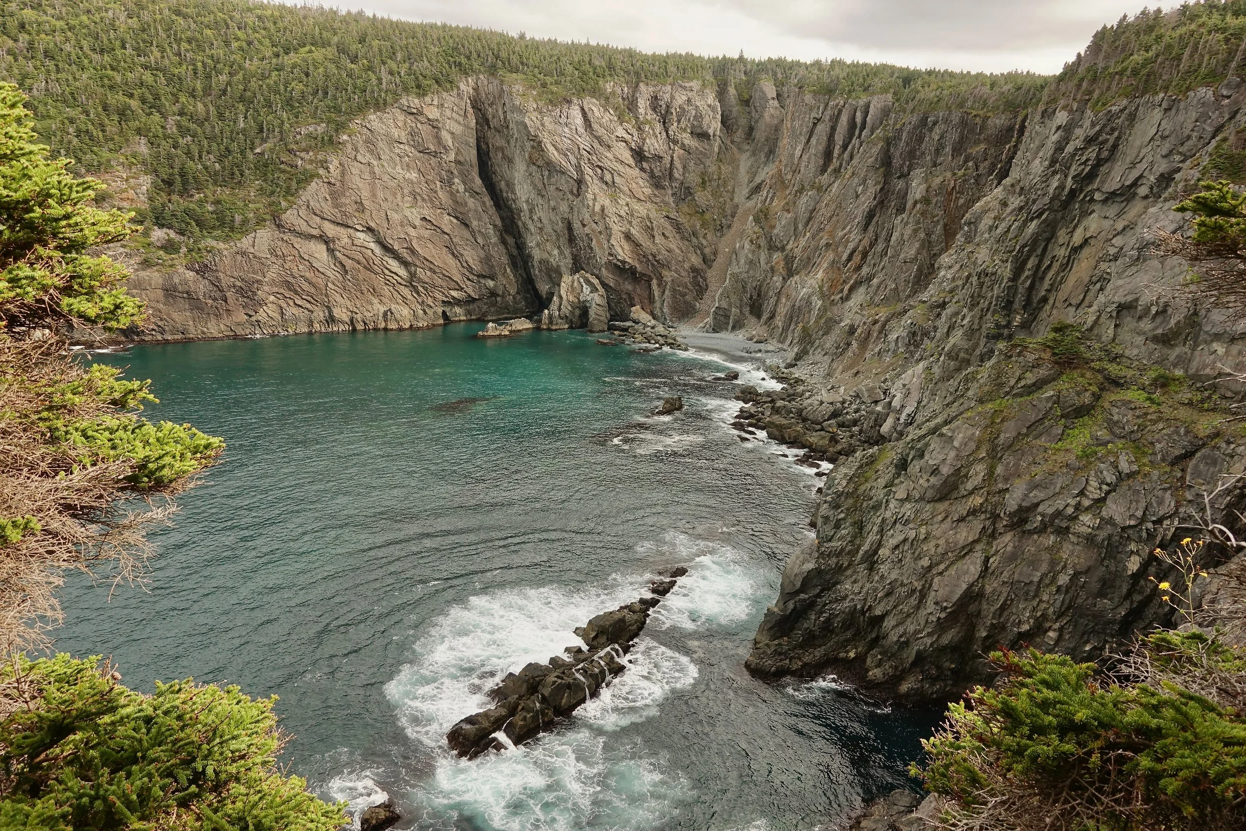
Black Head Cove
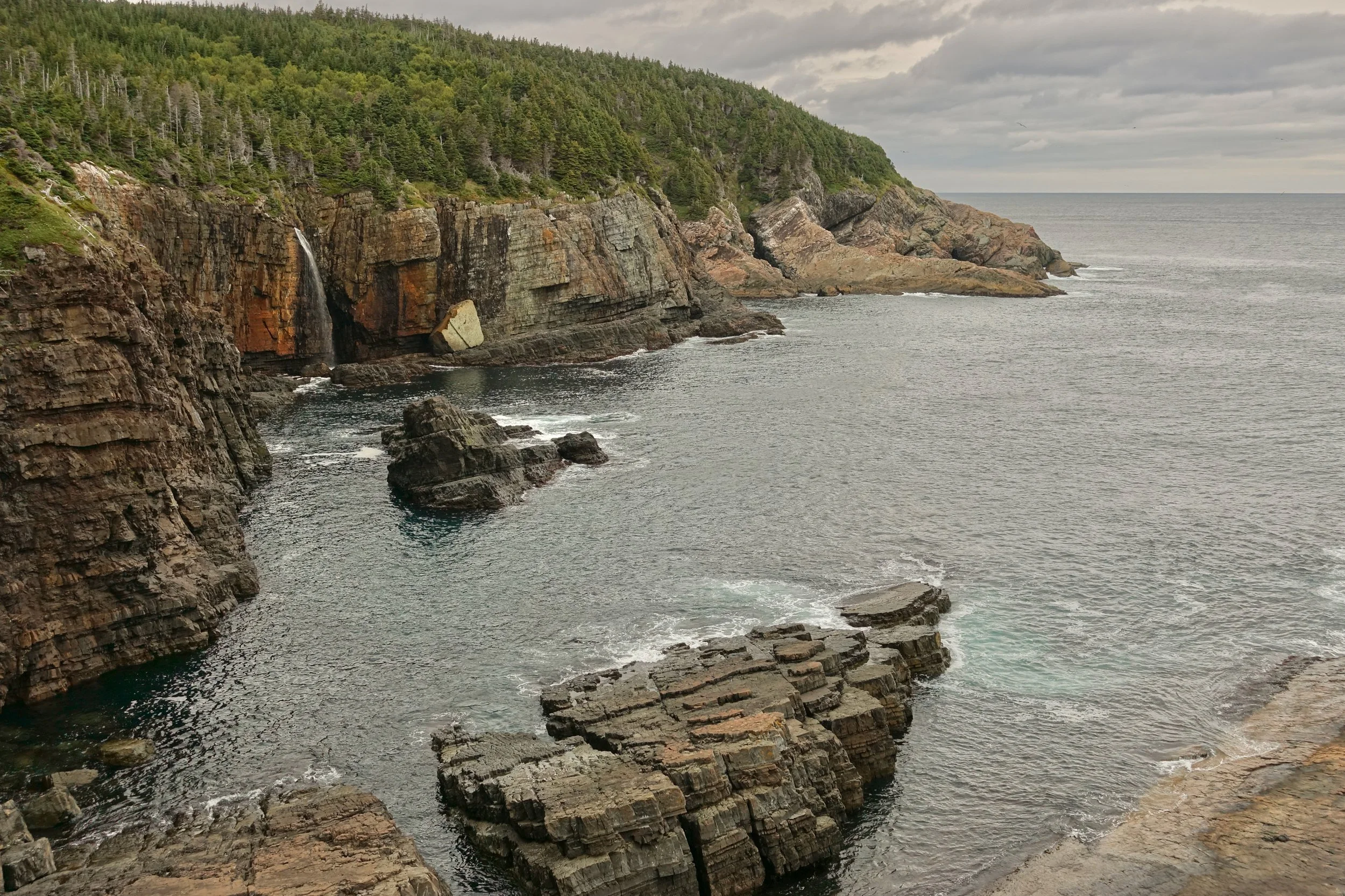
First of many waterfalls on the coast north of St John’s
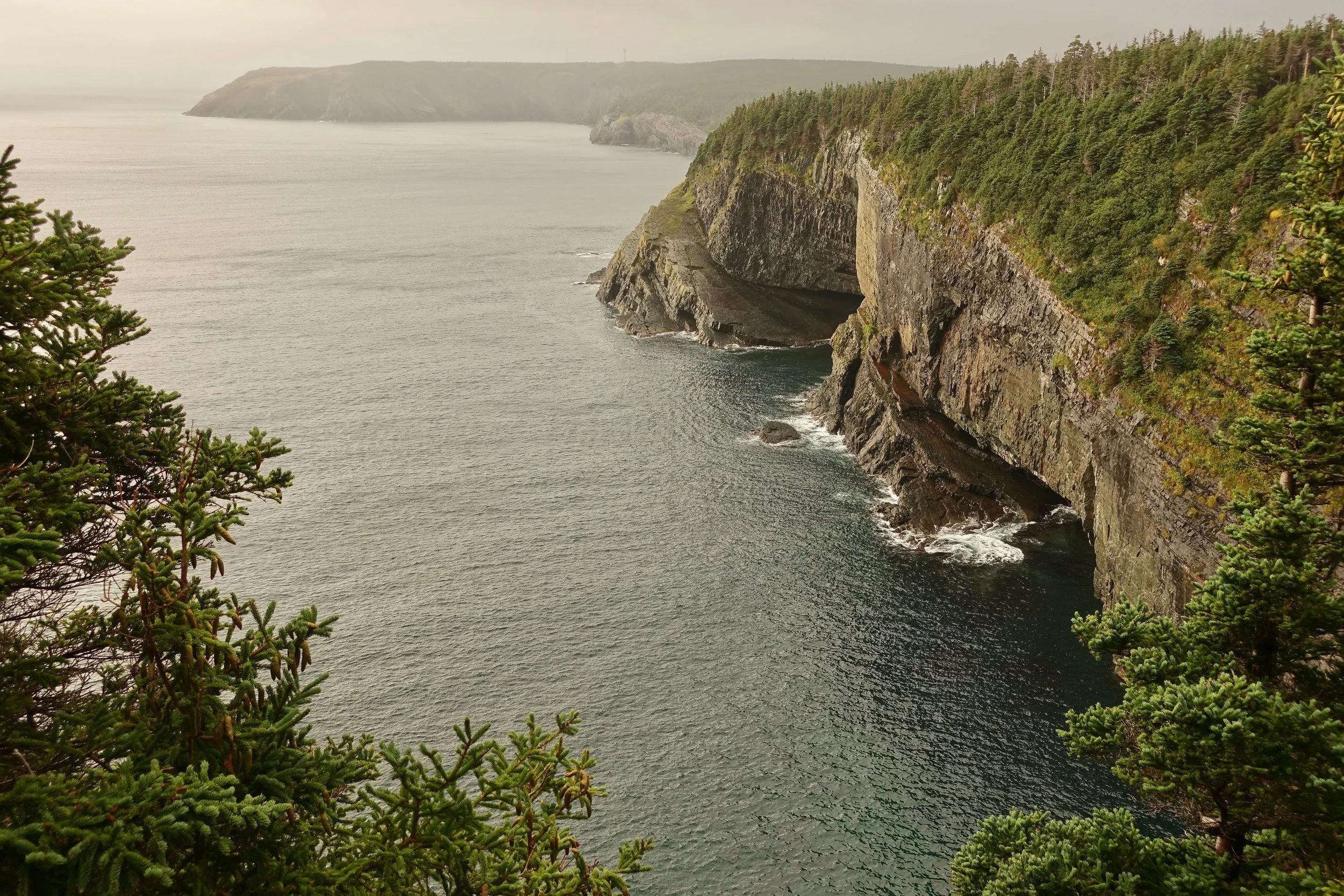
The sun burning through the fog in the morning
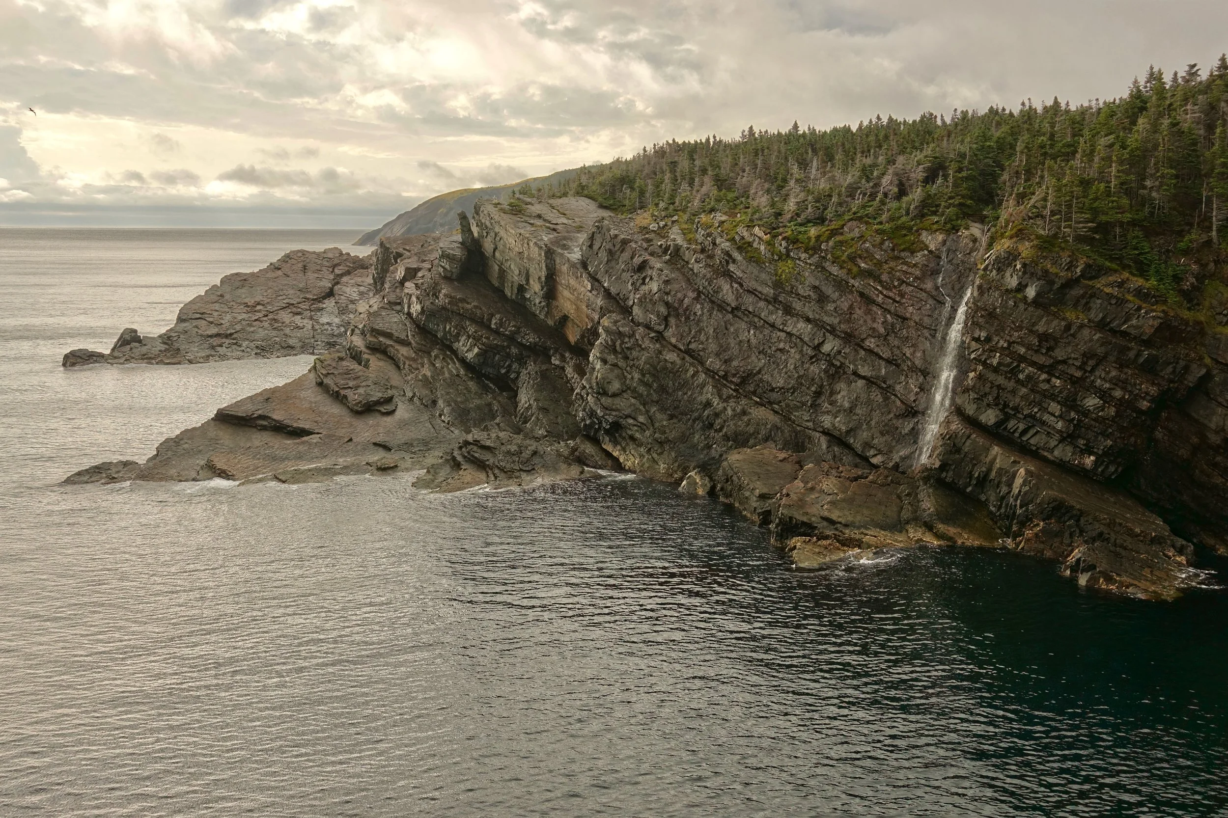
Another waterfall near Stiles Cove
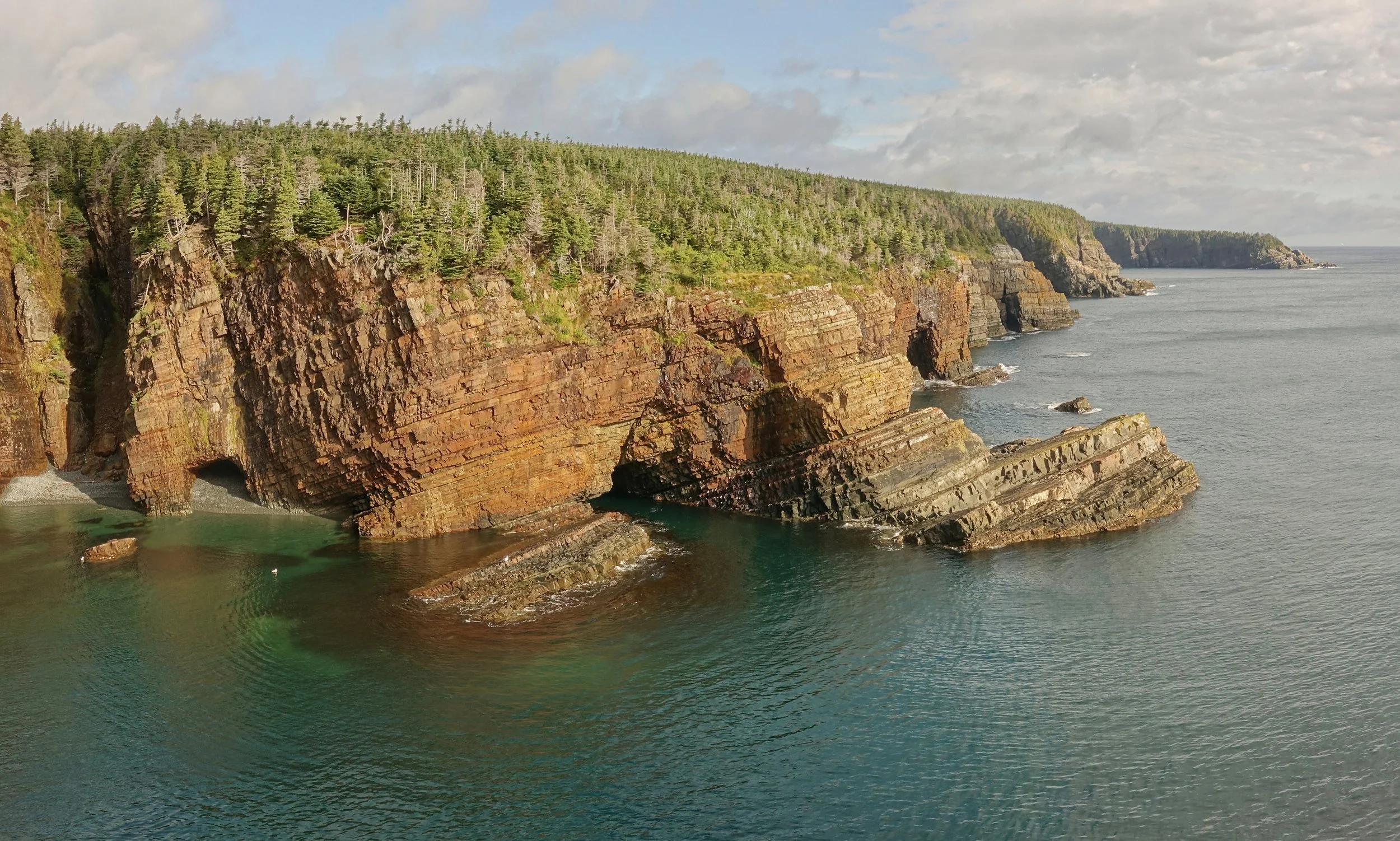
Cliffs at Stiles Cove
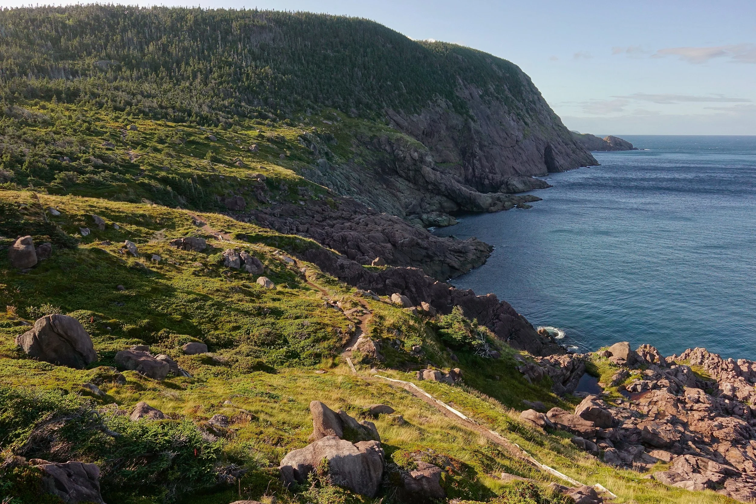
After an extended break at Torbay Point, I grabbed water here at Cobbler Brook and found camp for the night
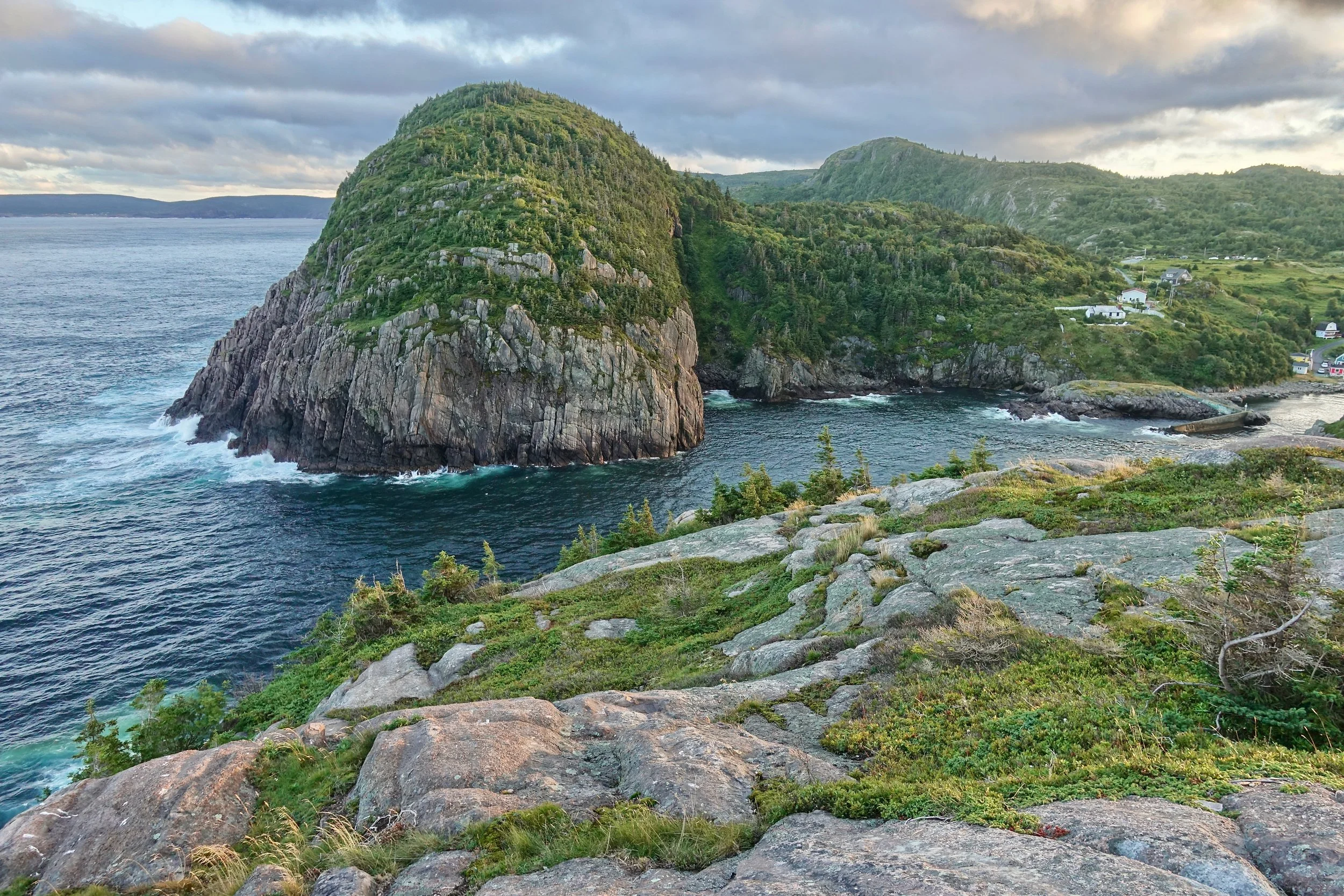
Cuckold Head on the Sugarloaf trail near the end of the northern section
Newfoundland weather was a factor on the East Coast and soaked through the rain gear at times. If not rain there was wind. I did luck out with blue skies on some of the more scenic sections including The Spout, Cape Broyle, Stiles Cove and Cripple Cove. The towns had resupplies every few days. While the ECT has about 40 miles of road walking, locals would often pick up me up and not mind that I was getting their car wet. During the wind storm I was offered a backyard to camp in. A couple from Mexico showed me ectmap.ca for campsite selection, it did not let me down. I only saw a handful of thru hikers.. July seems more popular for the East Coast, but I chose September to avoid the black flies in Gros Morne. The top three restaurants were Lorina’s, Irish Loop Coffee House and Stone Ducky
I completed the northern section first from Portugal Cove back to St John's. Then again walked back to St John’s after getting a ride south to Fermeuse. I had a baggage delay getting into town and decided the Cappahayden section was skippable versus walking faster to make up time.
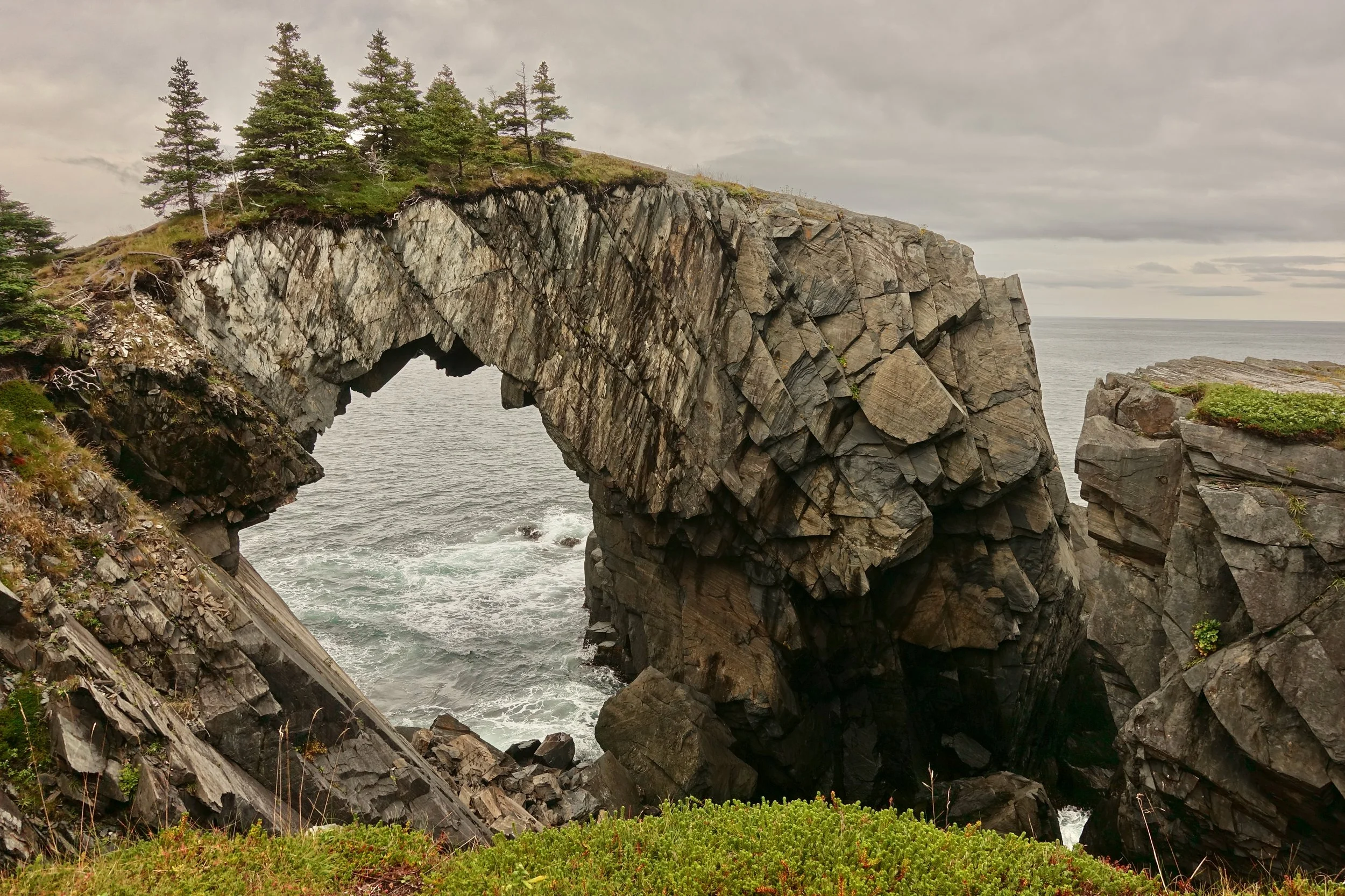
Berry Head Sea Arch
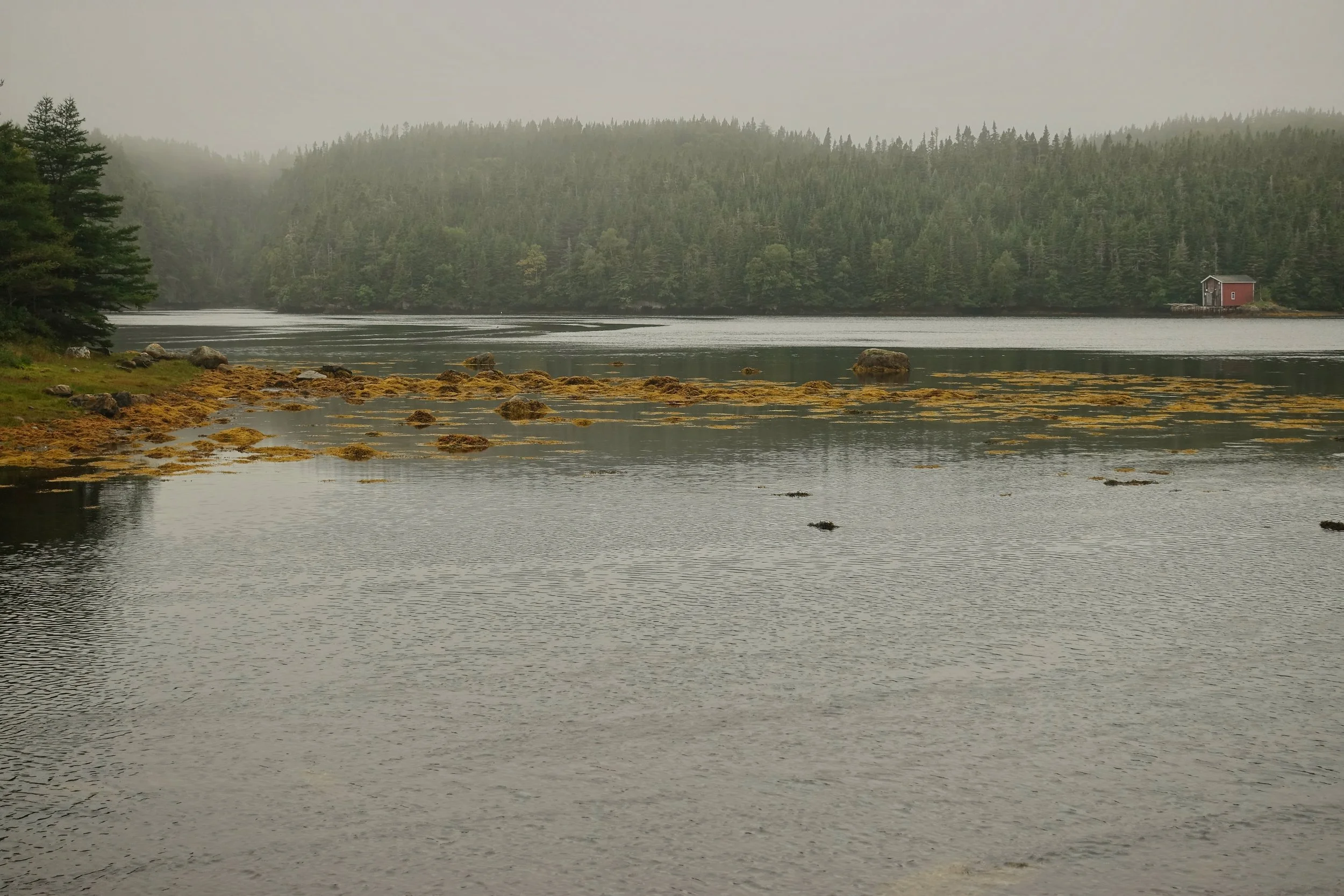
Walking through the town of Aquaforte
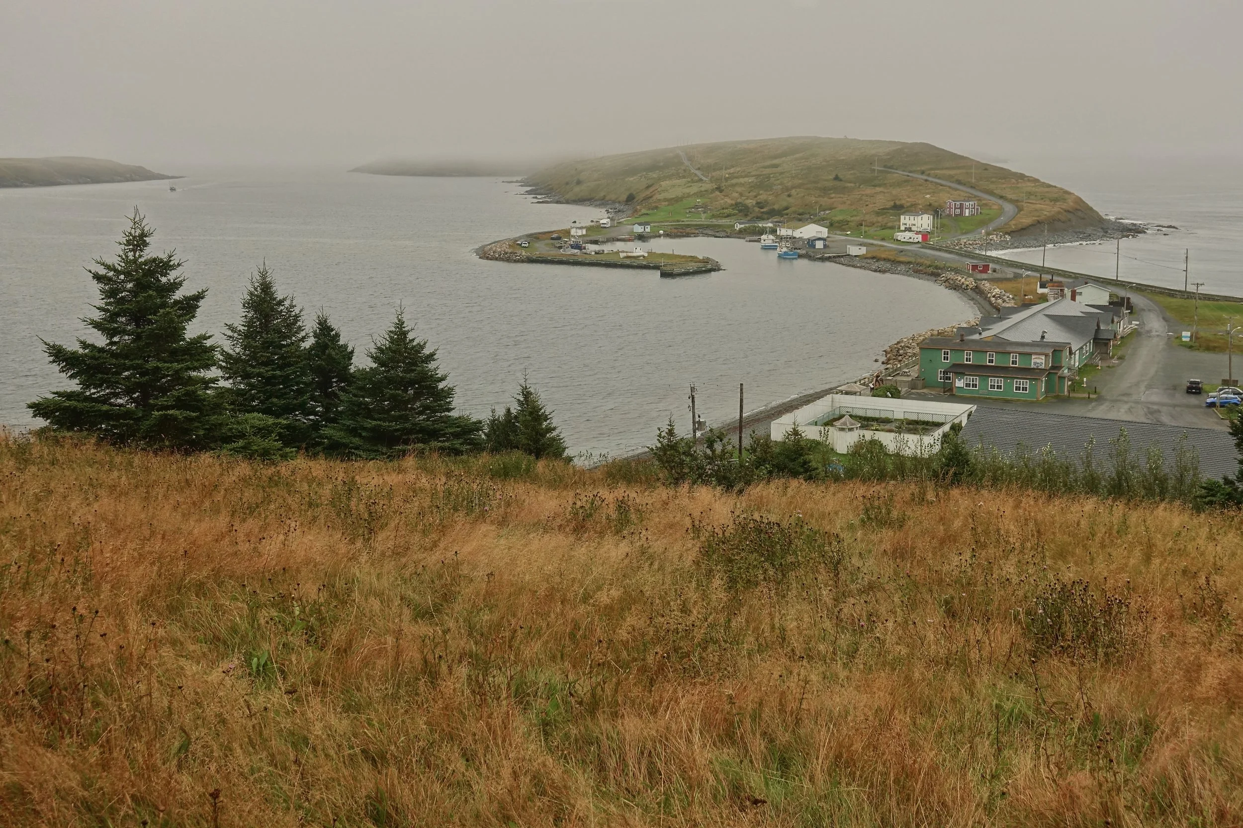
After getting a ride around the closed trail to Ferryland I was ahead of schedule. The weather kept getting worse and the restaurants were not open so I walked to the edge of town and called it a day
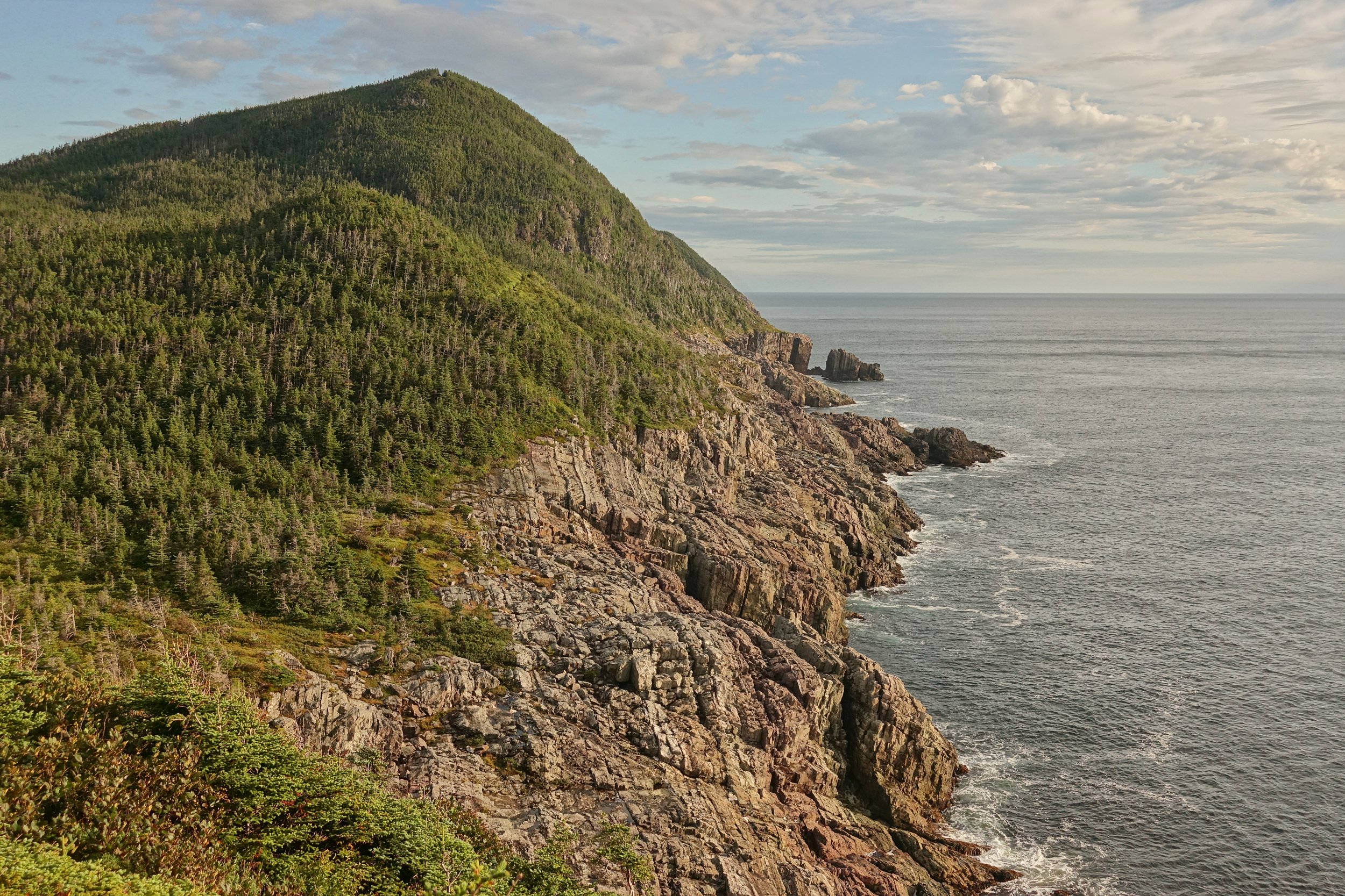
I got an early start around Cape Broyle after 18 hours in the tent. I enjoyed the good day stopping at Lance Cove beach
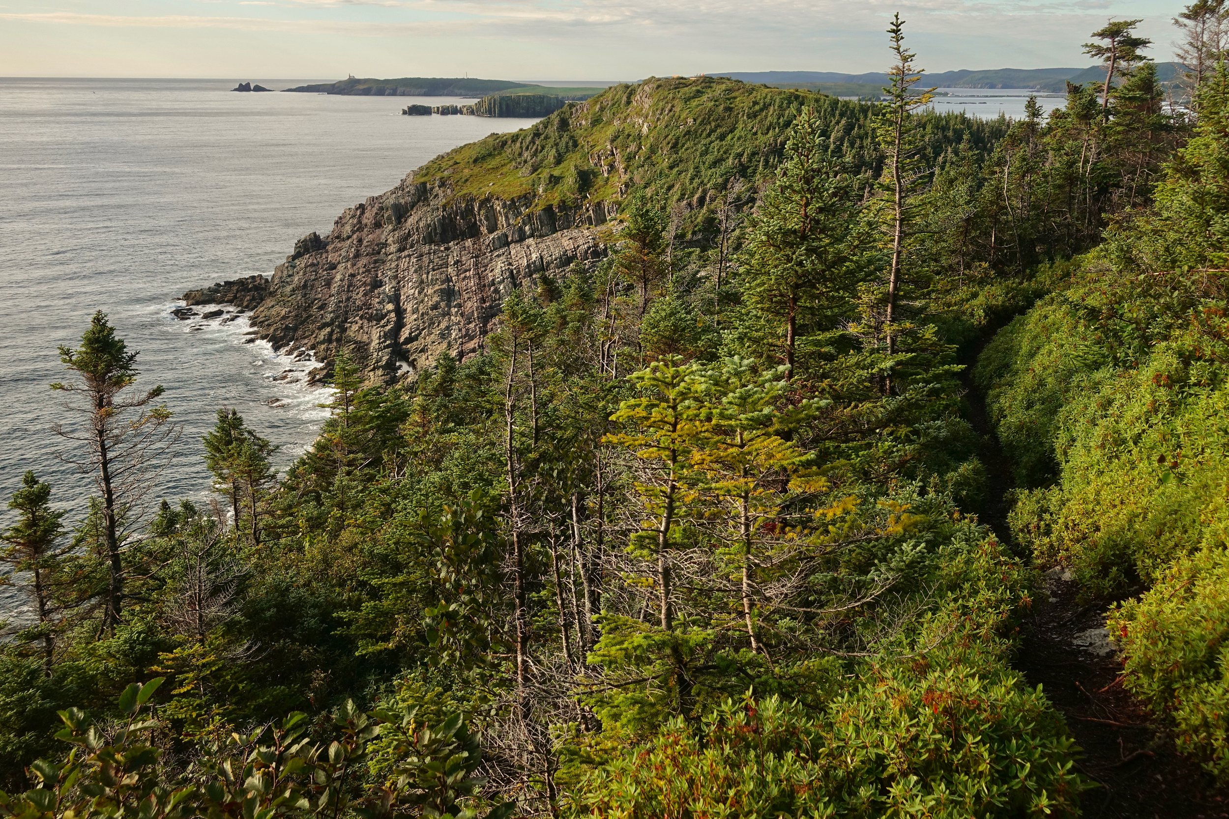
One of the better weather days of the walk, looking back towards the Ferryland lighthouse
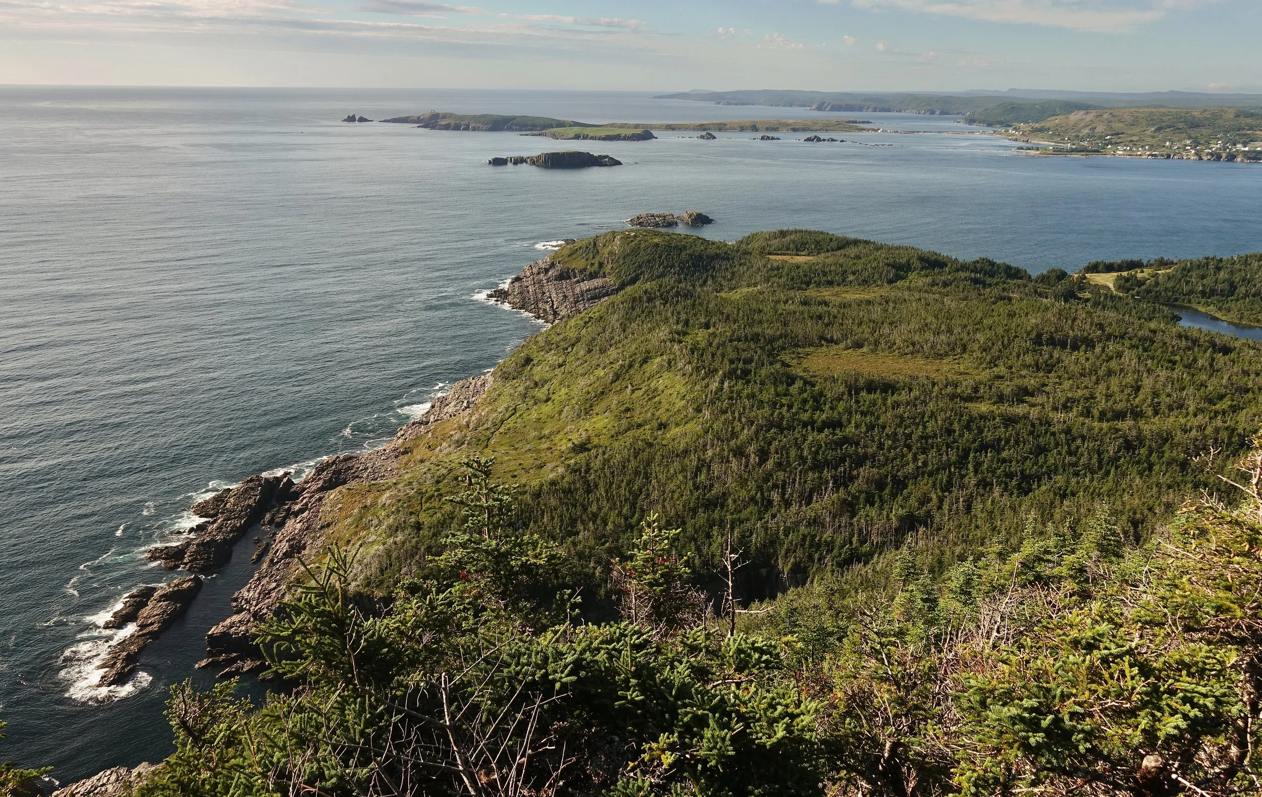
From even higher at the top of Cape Broyle
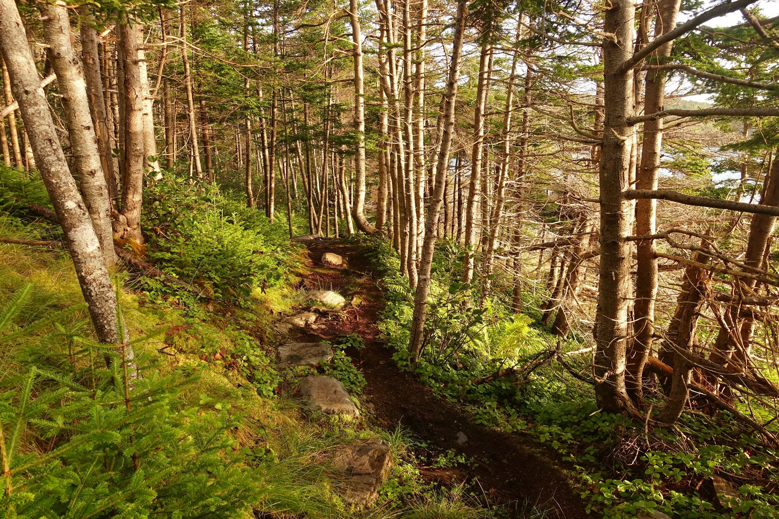
The trail was in great condition considering all the rain. There were only a few sections that were overgrown -- north of the arch to the highway and some of Cape Broyle
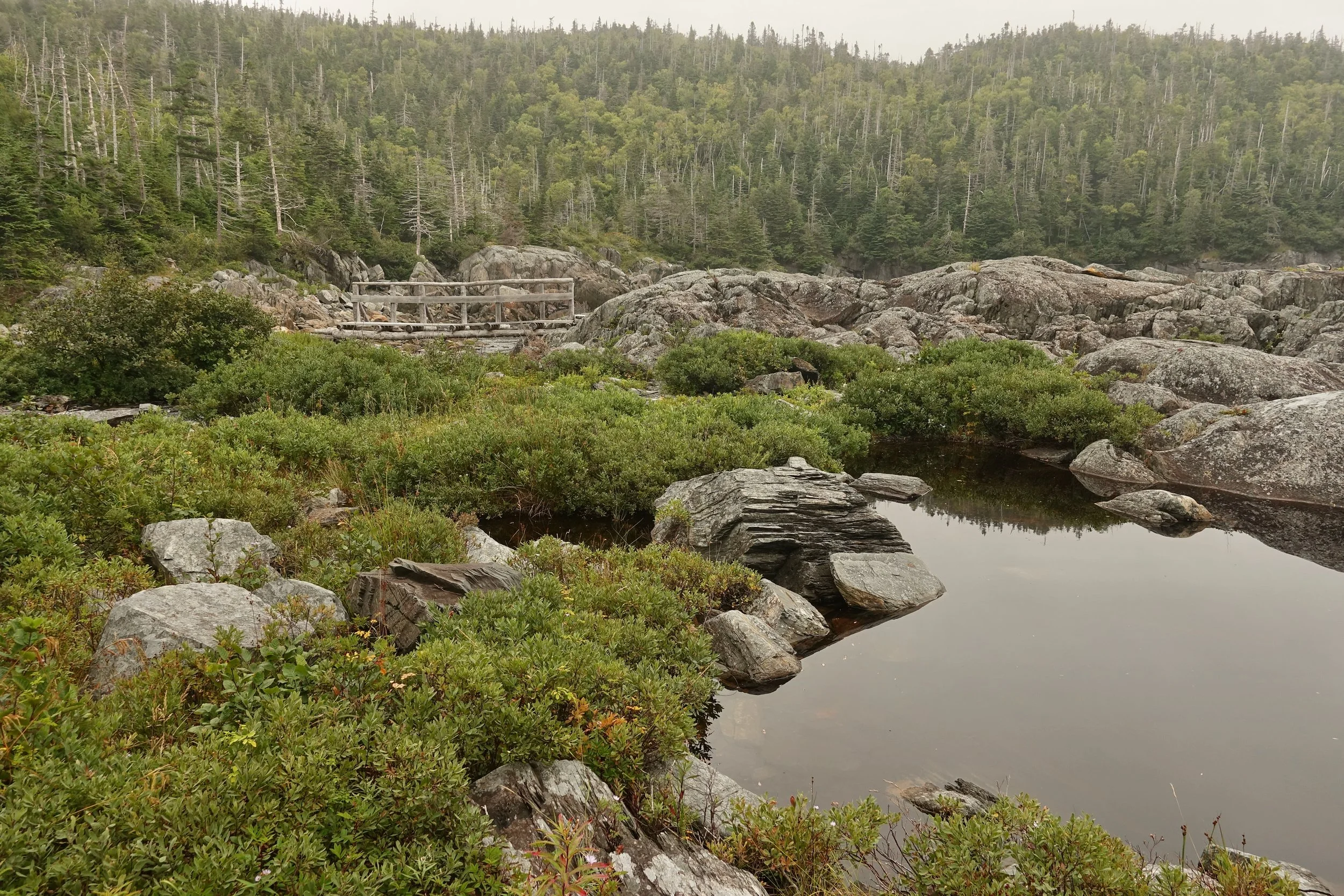
Foggy day as I headed towards Tors Cove
Grumpy Man
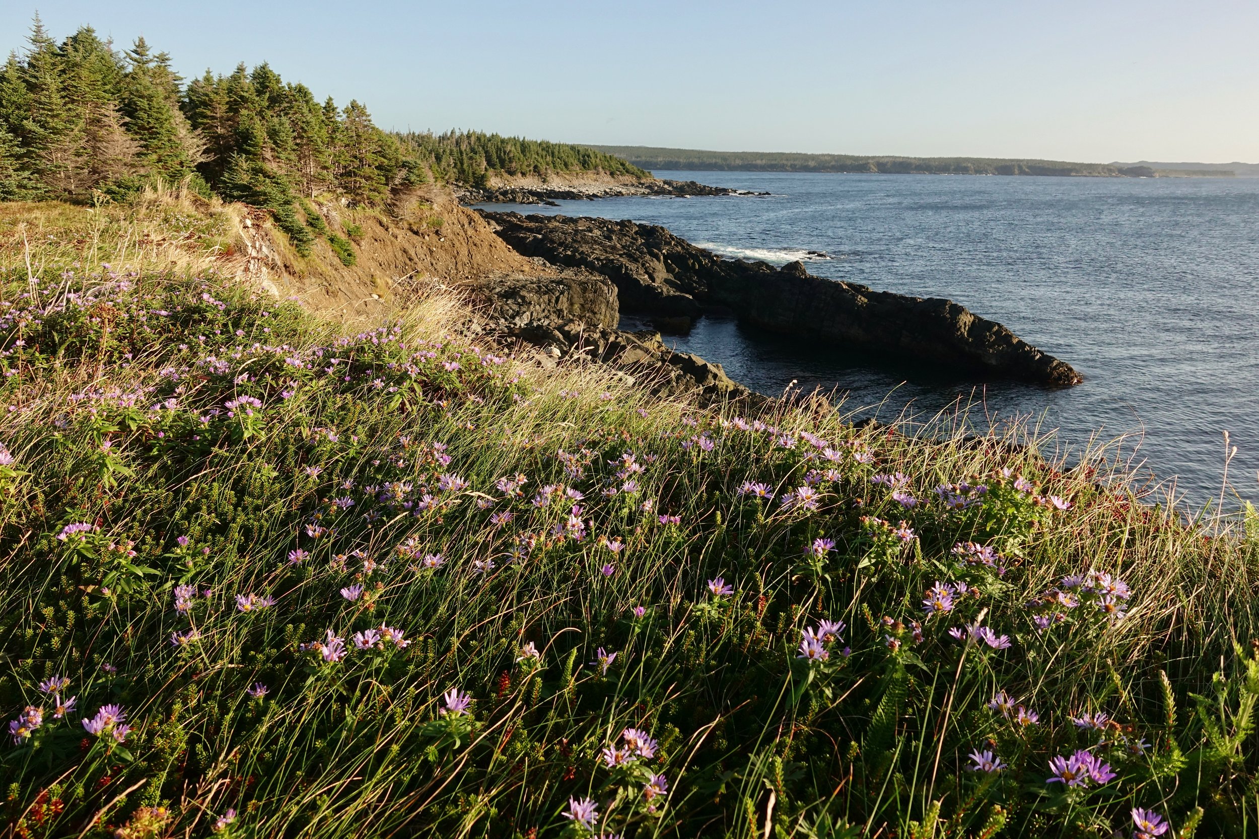
A wind storm started in the morning that I had been warned about from some dayhikers at La Manche Bridge
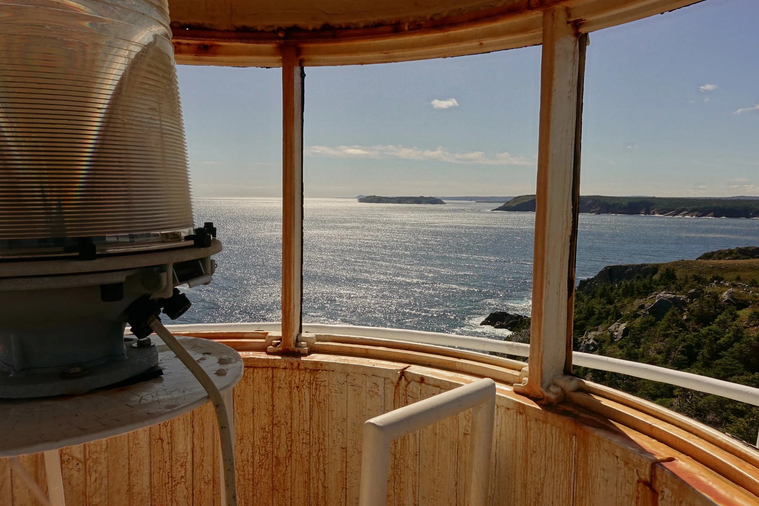
The wind brought in a cold front but also some sun that was not in the forecast. The lighthouse at Bay Bulls was unlocked so I climbed to the top
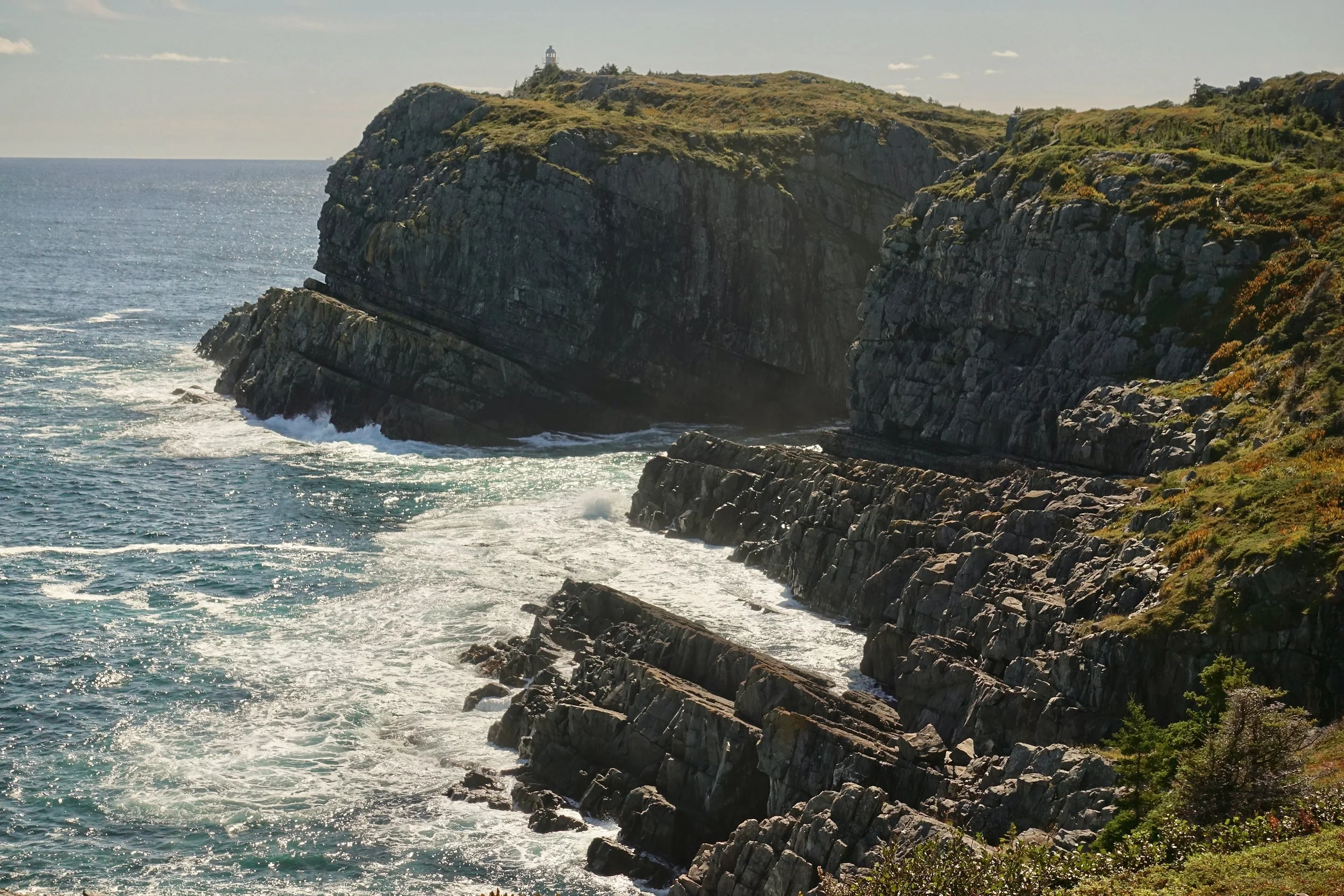
Bay Bulls Lighthouse from a distance
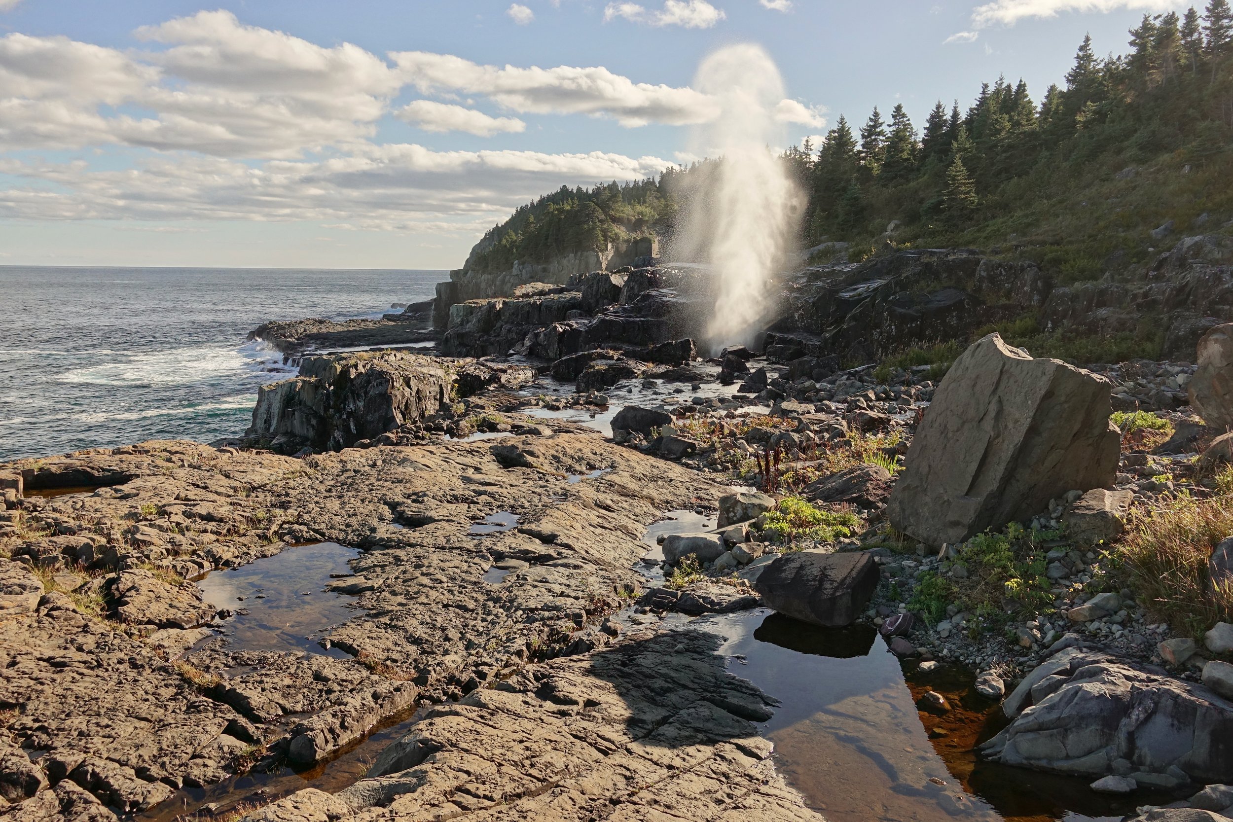
An excellent camp at Little Bald Head with the nearby Spout, which erupts every 10-15 seconds. I found it more interesting in the evening when the ocean was rough and less powerful in the morning hours. My favorite part of the walk
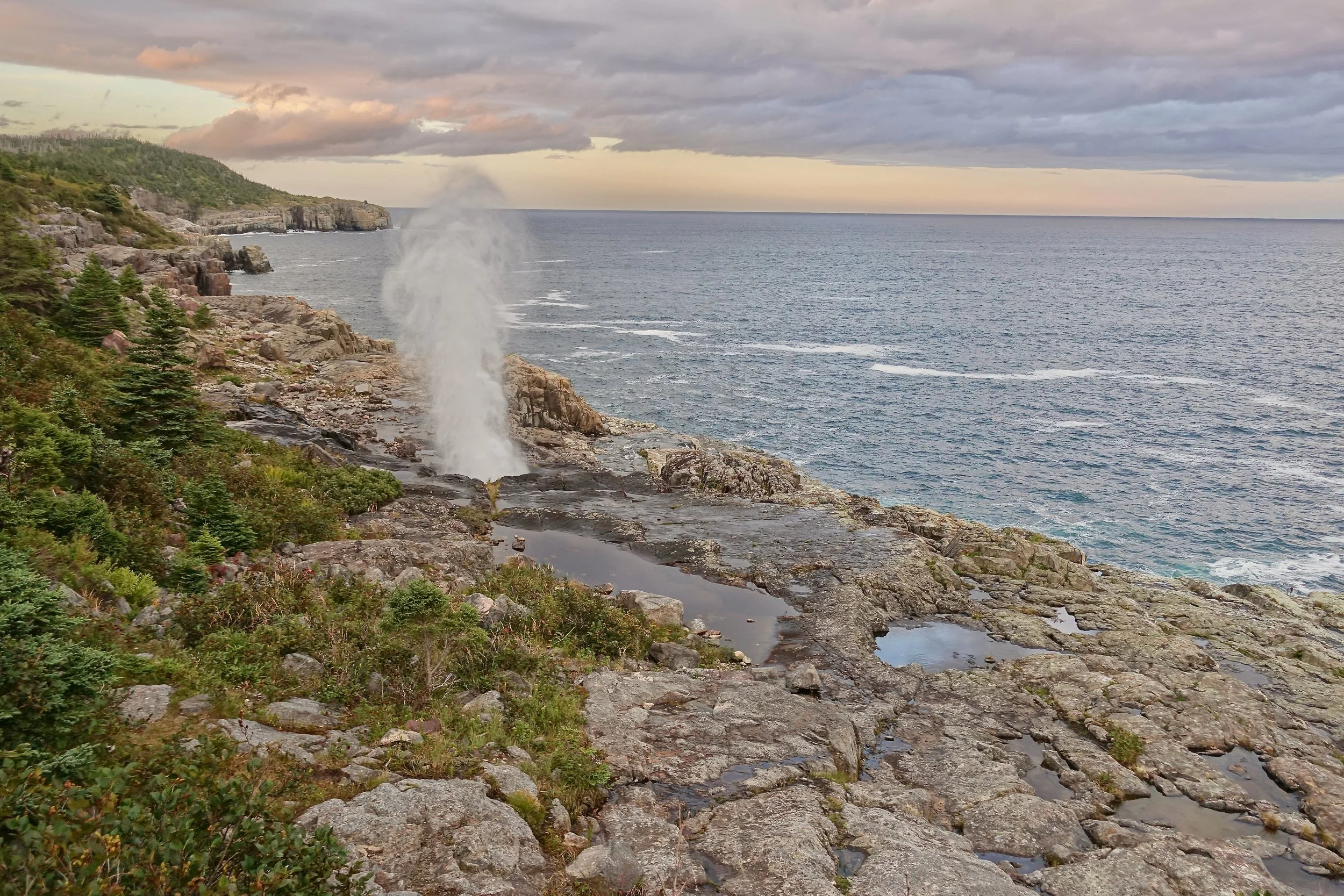
Sunset at “The Spout” geyser
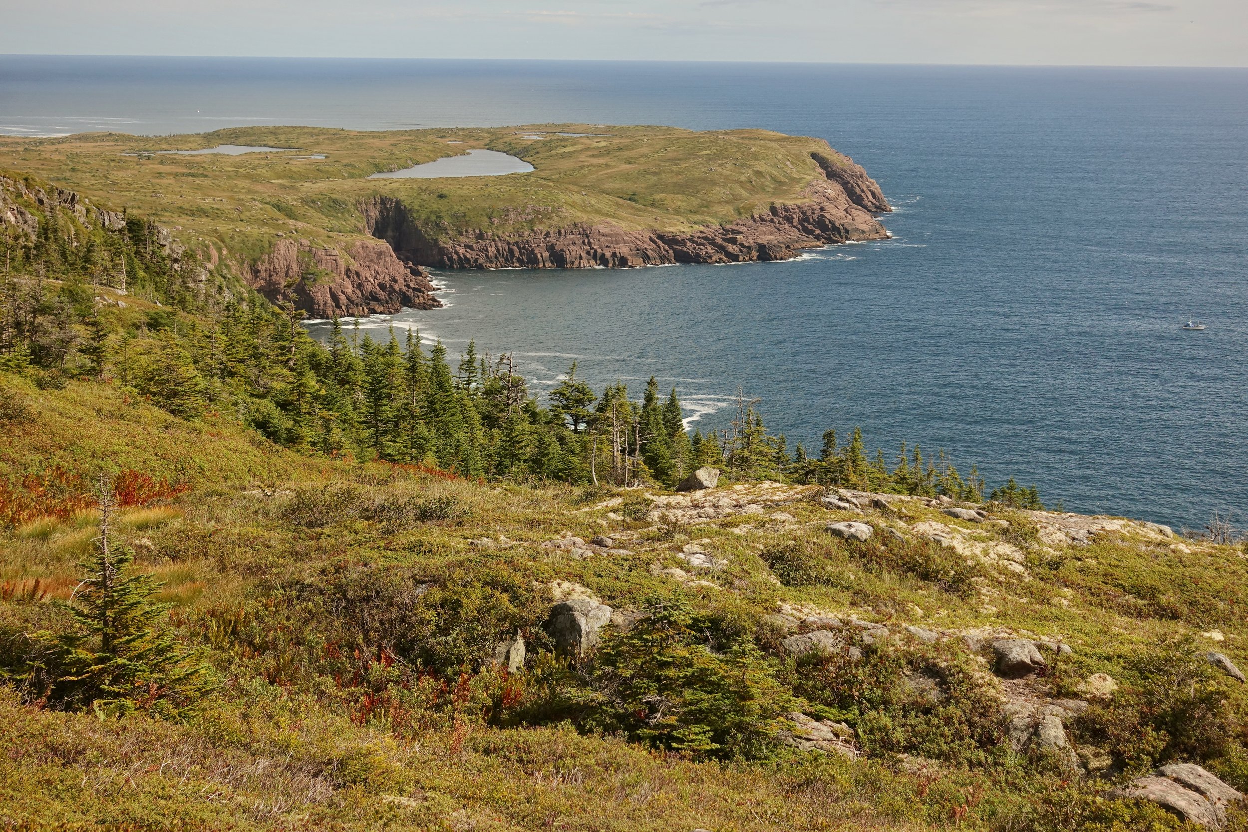
The view from Burkes Head on the Motion Path
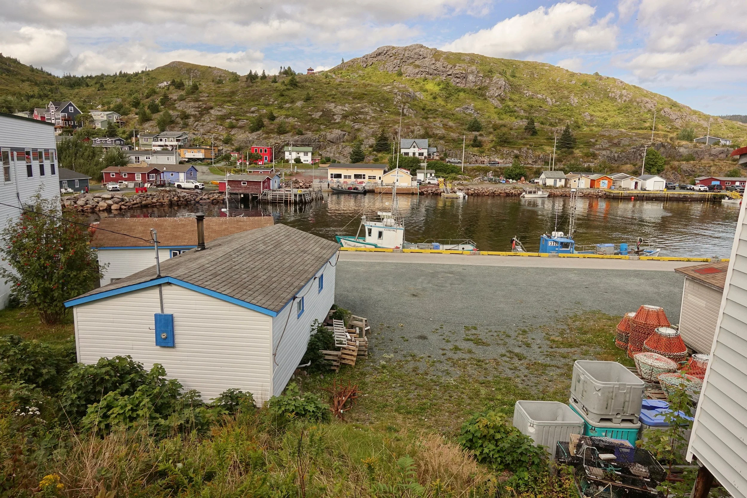
Reaching Petty Harbour for a late lunch, I finished the remainder of the trail to St John’s the following day in the rain
Fundy Footpath and Dobson Trail
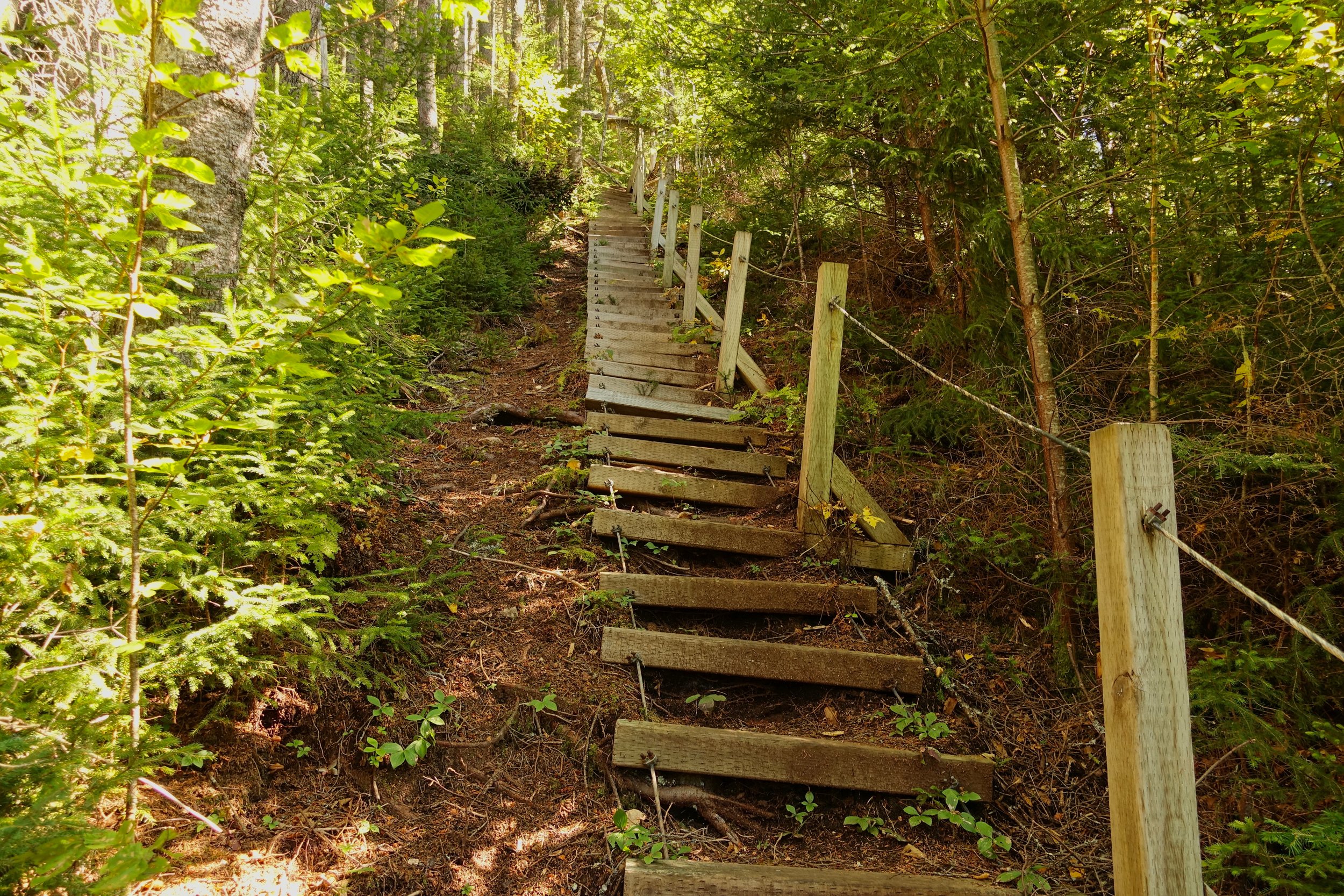
From the beginning the Fundy Footpath starts climbing
I met some folks who had just finished at the Interpretive Centre. They gave me their map and warned of some aggressive hornets around Goose Creek
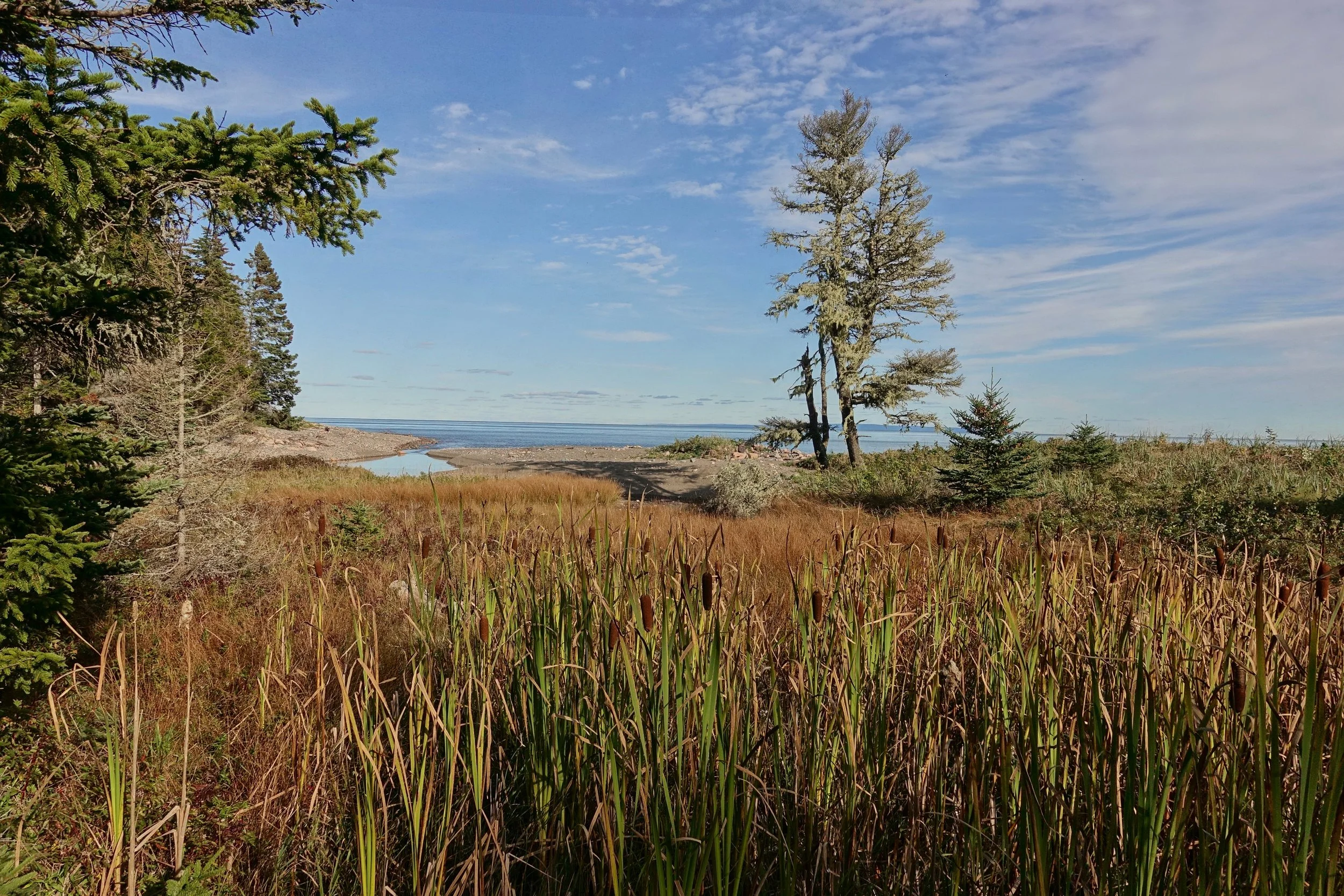
The coastal areas are excellent along the Bay of Fundy
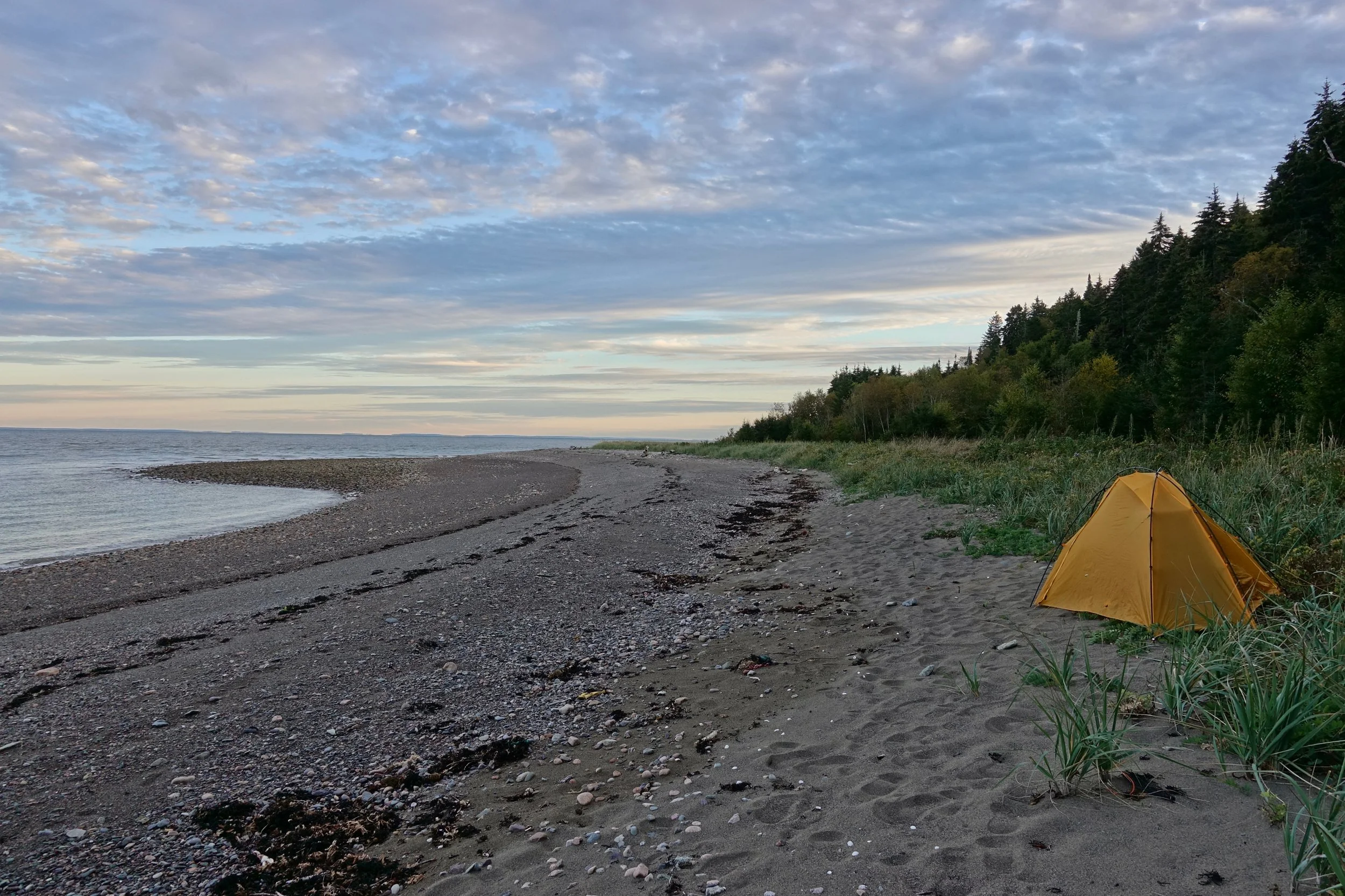
The first day was short camping at Seely Beach after arranging a taxi from the city of Moncton to the trailhead
Daily routes for the walk which was completed in October. There is a general store in Alma to resupply on food which kept the pack light and allowed more distance to be covered. Day three was the toughest and could be broken up with a reservation at a campground inside the National Park.
Overview Map
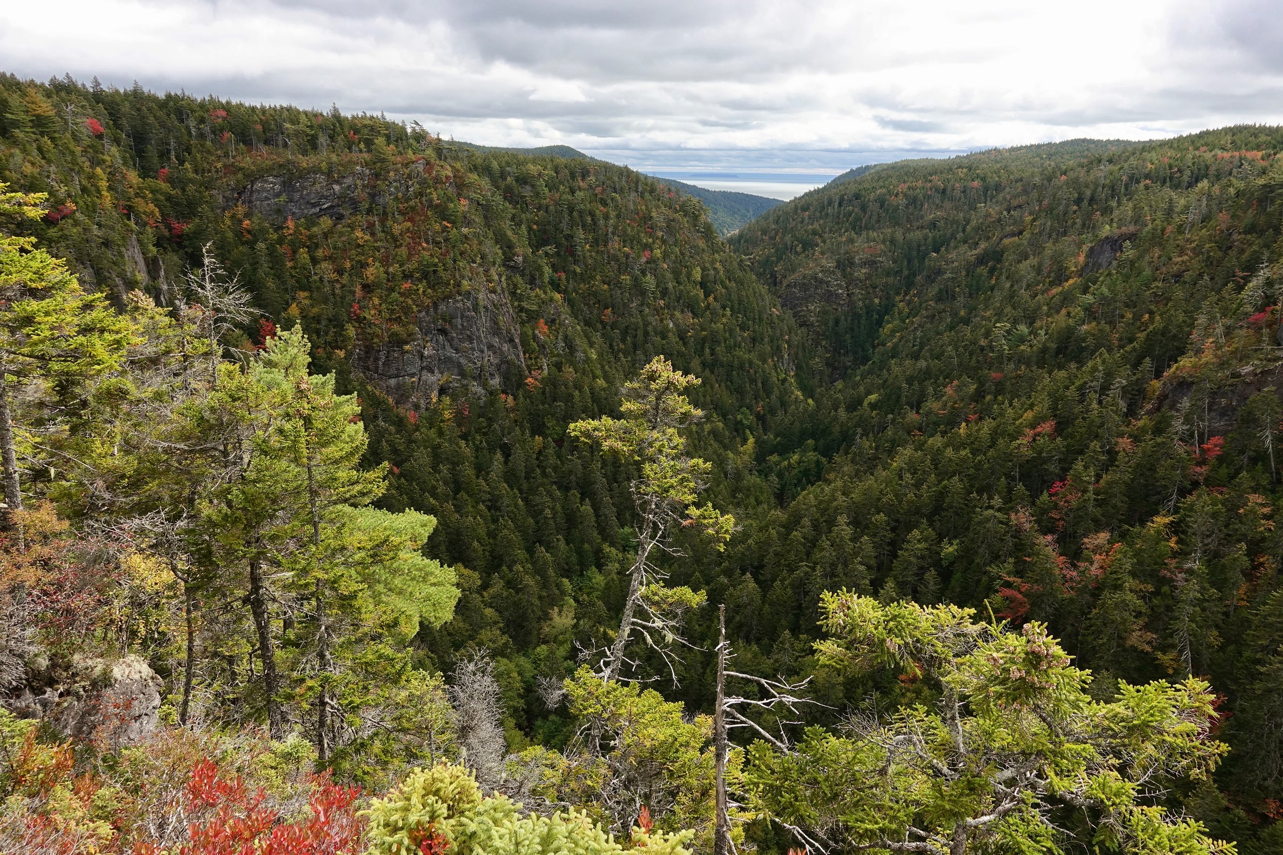
Most of the second day was off the Fundy Footpath exploring the Walton Glen Gorge area
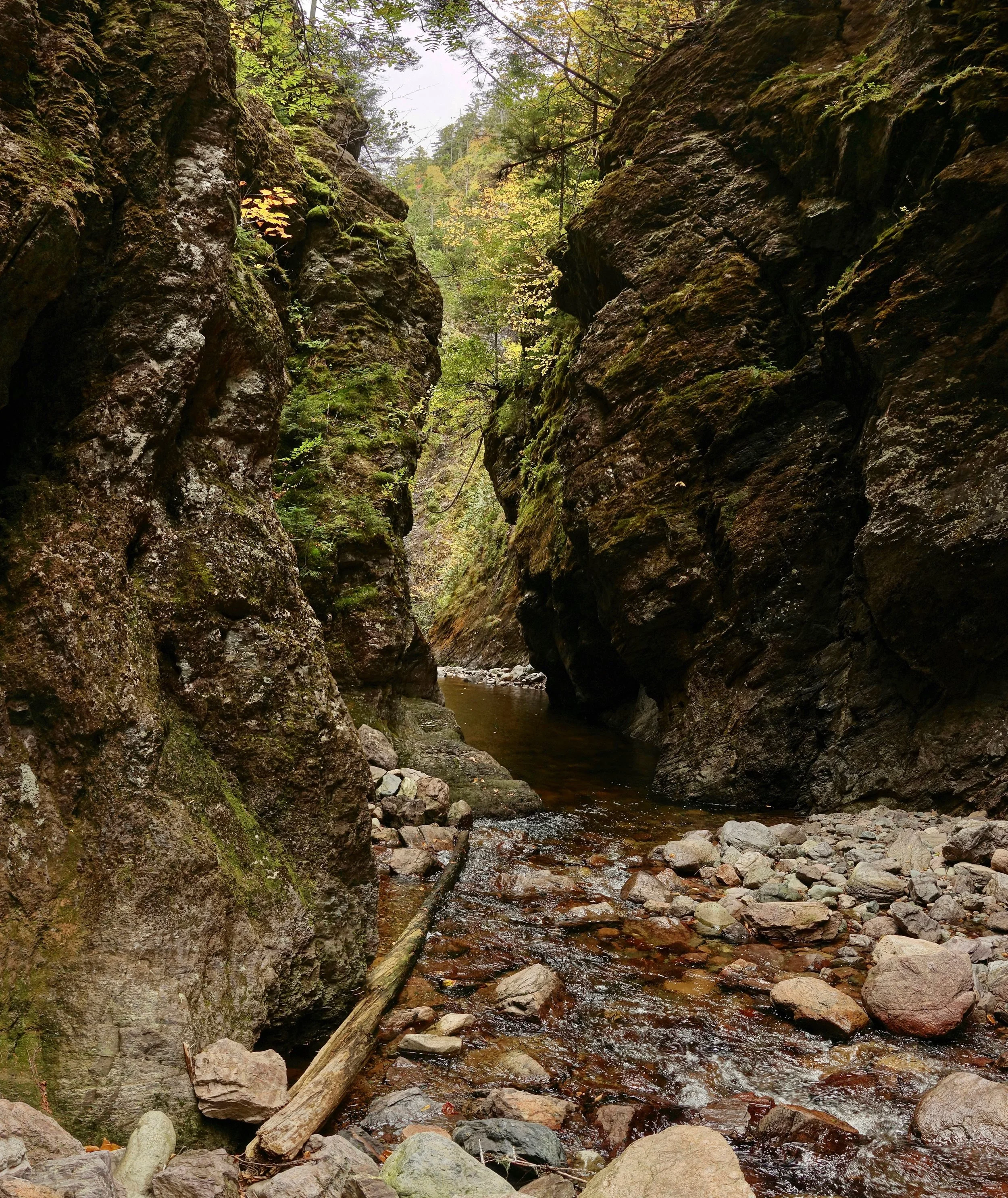
The pool in the Eye of the Needle was chest deep, a cold October swim to reach the Little Salmon River and reconnect with the Fundy Footpath
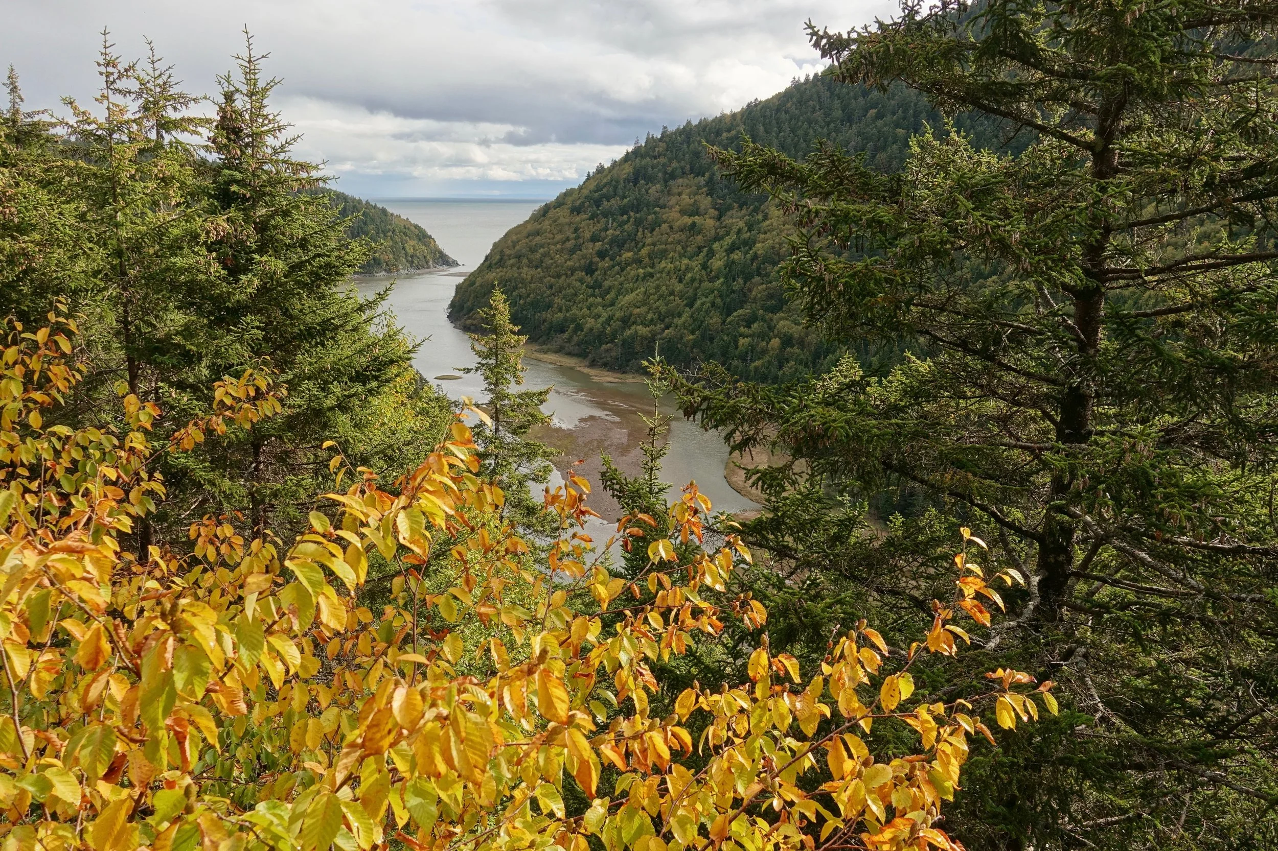
Little Salmon River
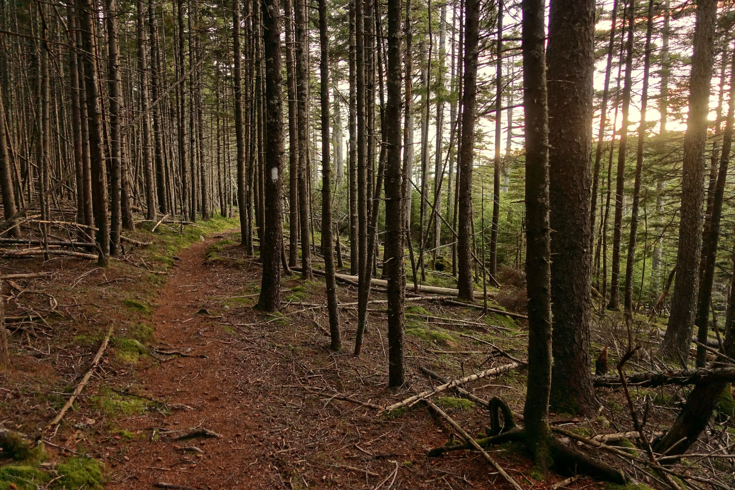
I continued until nightfall and stopped to sleep at Telegraph Brook
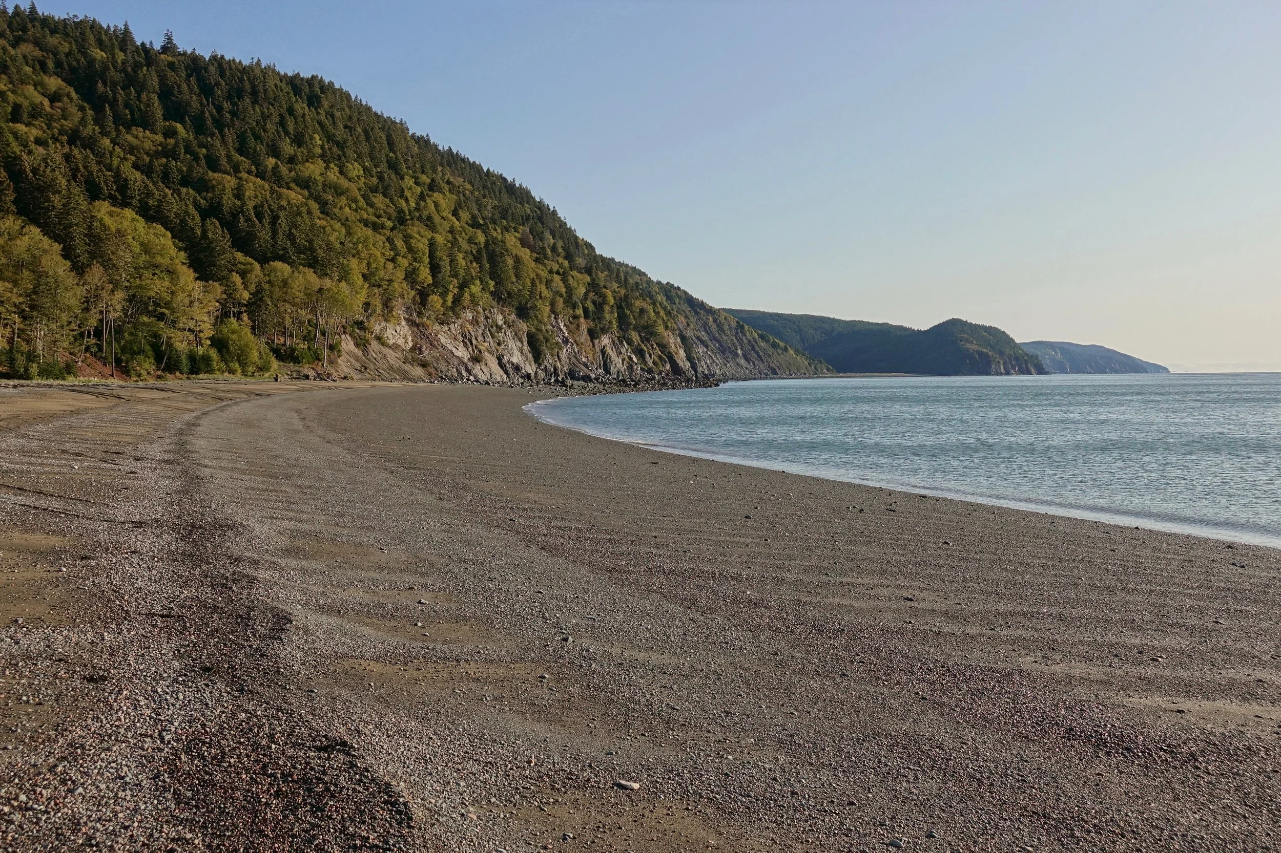
The low tide route from Martin's Head to Goose Creek was easier than the Seely Beach route with some simple boulder hopping. This route also bypassed the hornets
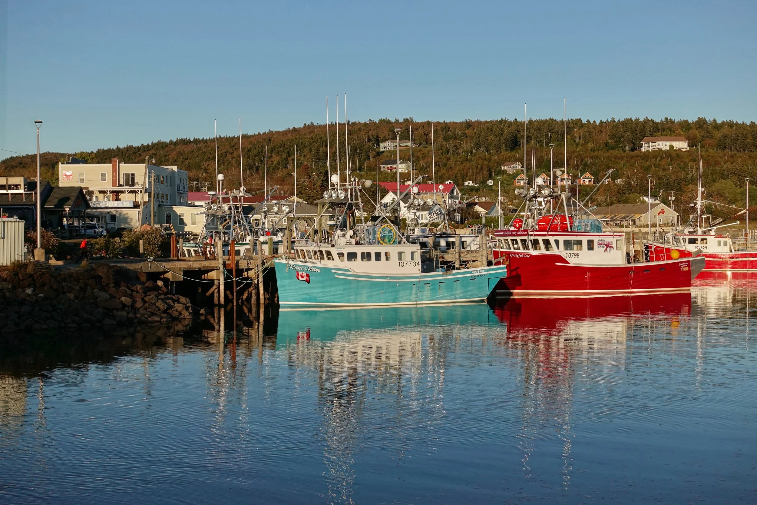
From Goose River I took the Coastal trail in the National Park and arrived in the town of Alma to enjoy some New Brunswick seafood and resupply for the second half of the walk

The Dobson Trail starts near Laverty Falls and connects Fundy National Park to Riverview, a town just south of the major city of Moncton
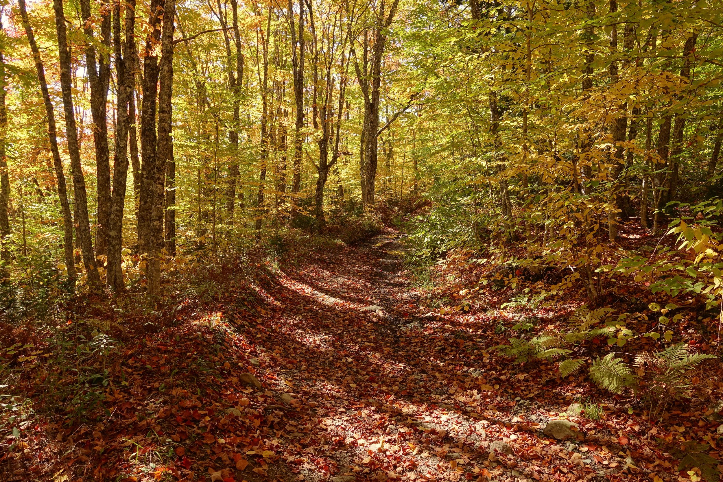
Fall colors along the Dobson
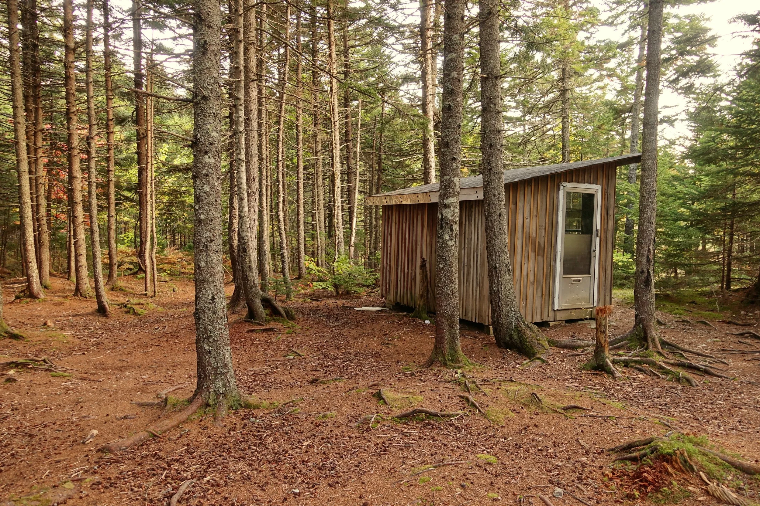
The cabin at the 35 kilometer mark where I stayed for the night to get out of the incoming storm. The final day was slow and laborious in the rain through the low elevation bogs to Riverview
Churchill Wild Polar Bear Safari
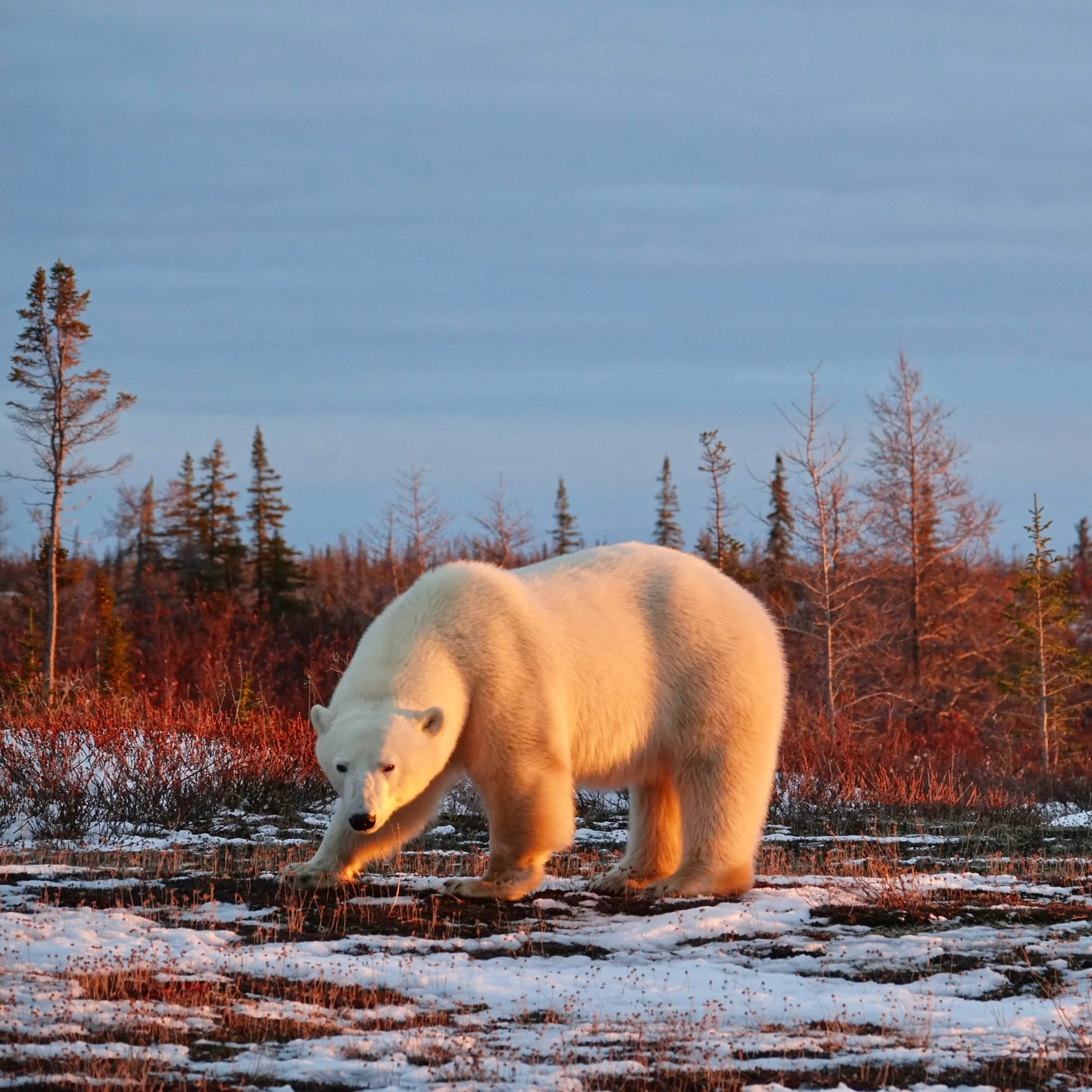
In early Novemeber, I spent a week with Churchill Wild. Each day we would hike on foot in the morning and afternoon along the western shores of the Hudson Bay
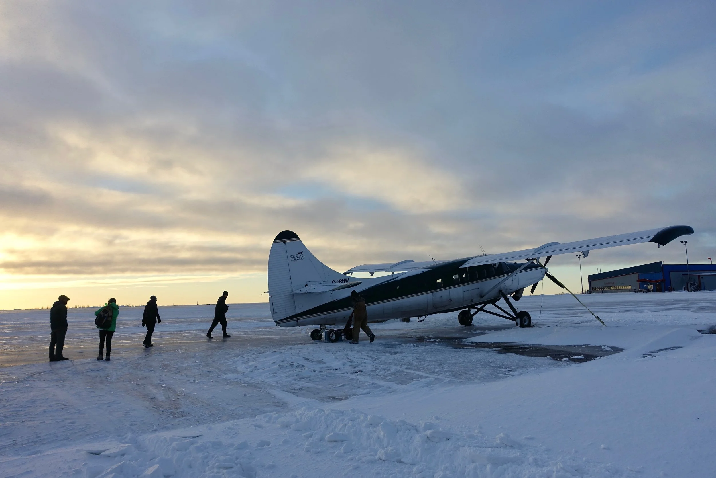
Wind storms kept us in Churchill an extra day, around sunset the pilot called and gave the heads up to fly to the lodge
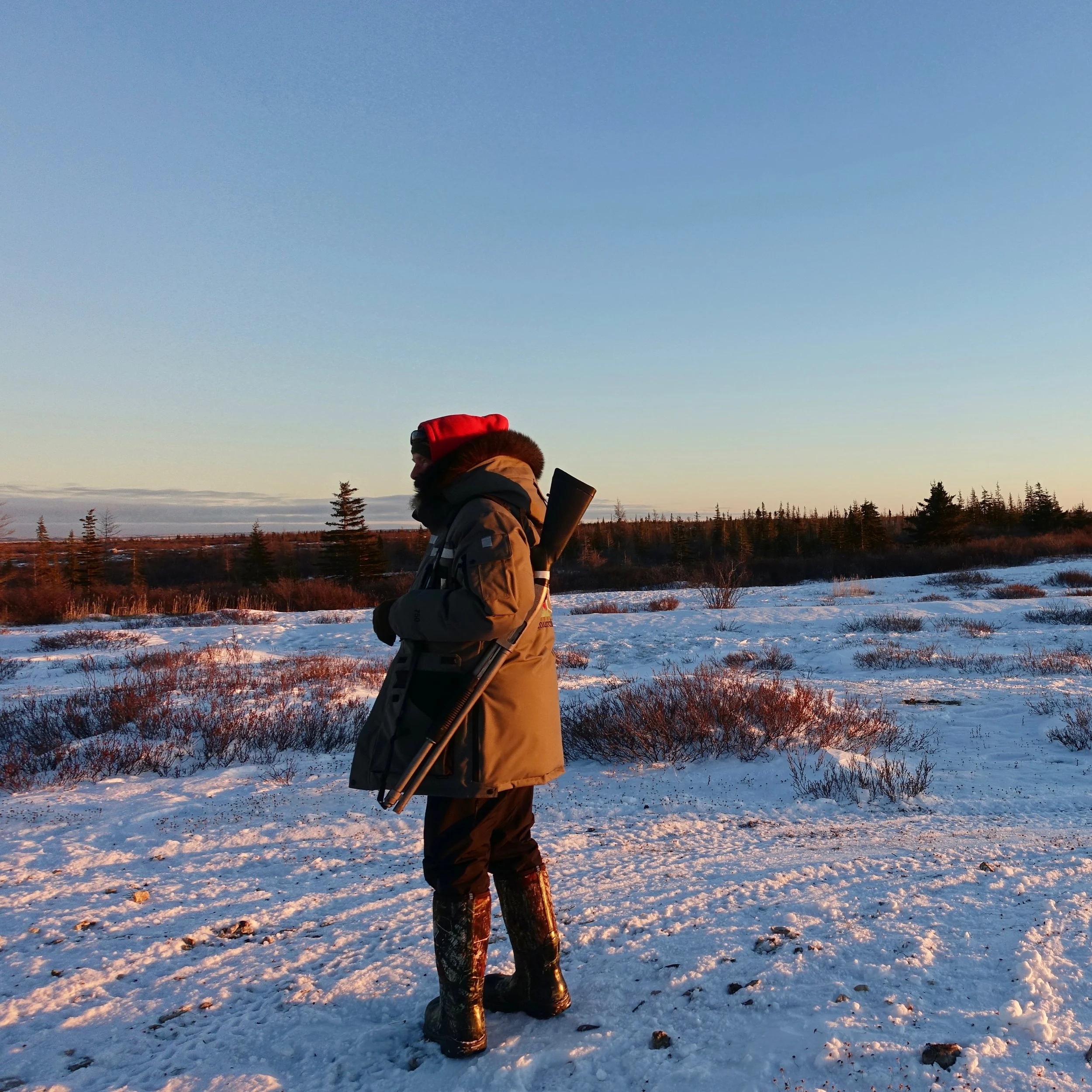
Our guide Terry met us on the runway next to the lodge
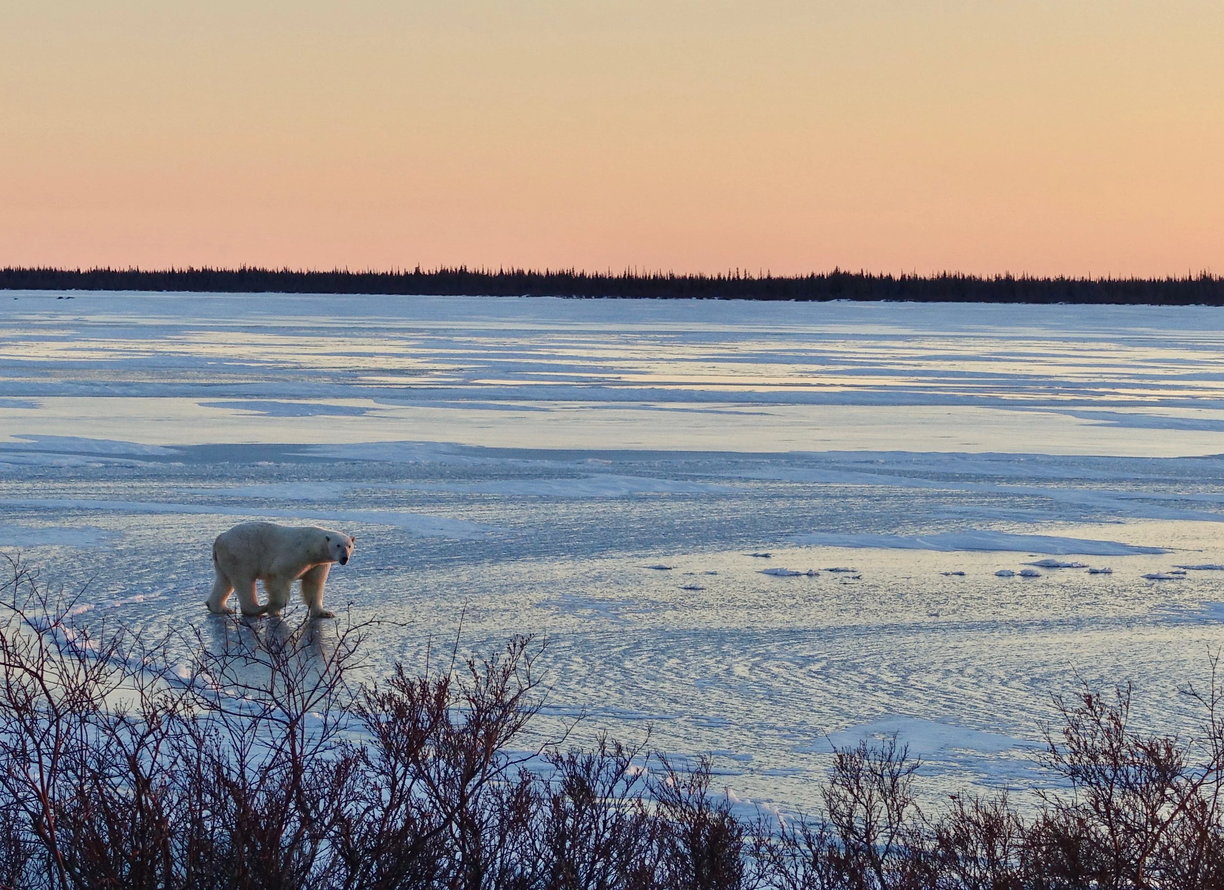
"Bear on the lake!" upon arrival to Dymond Lake Lodge
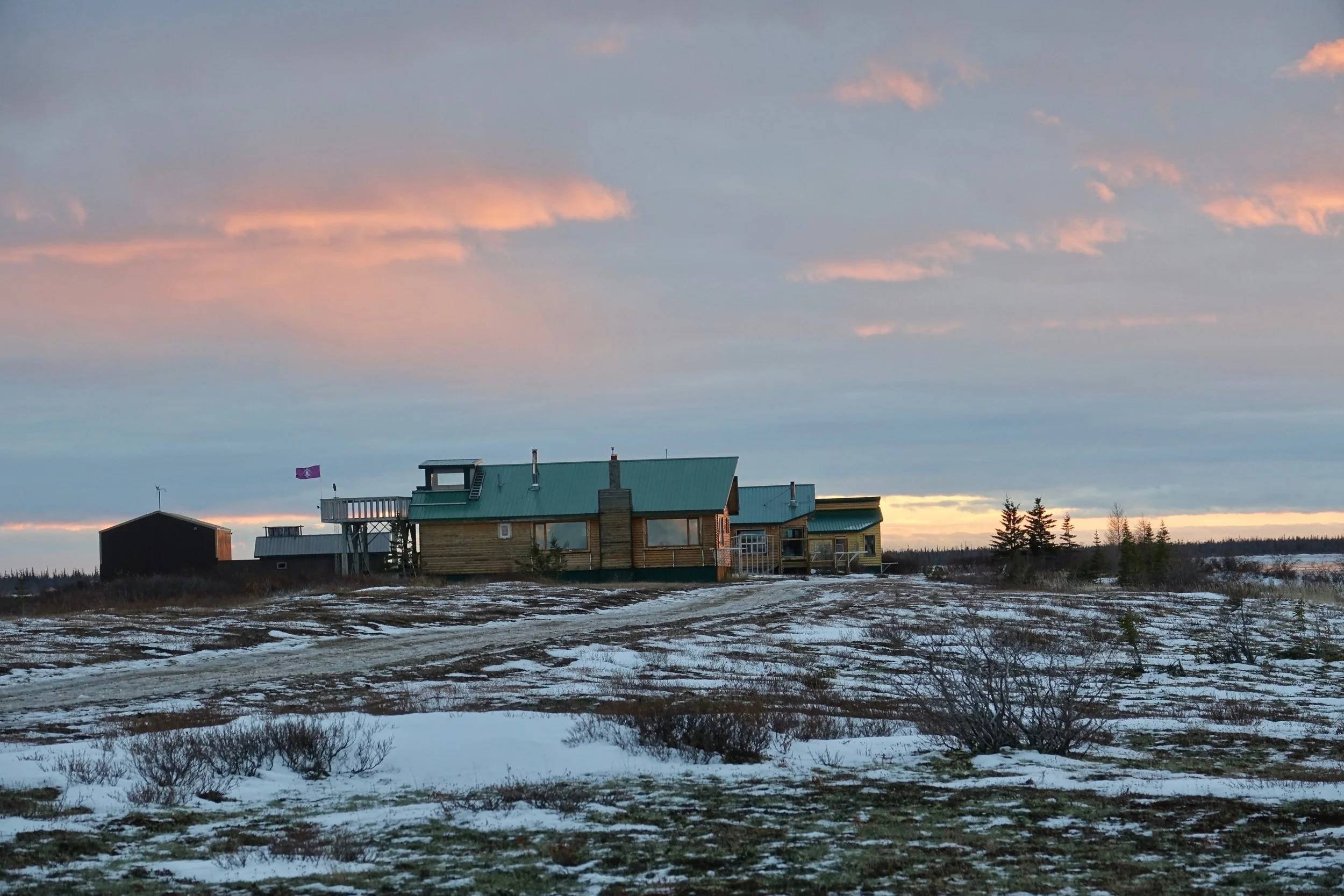
Dymond Lake Lodge
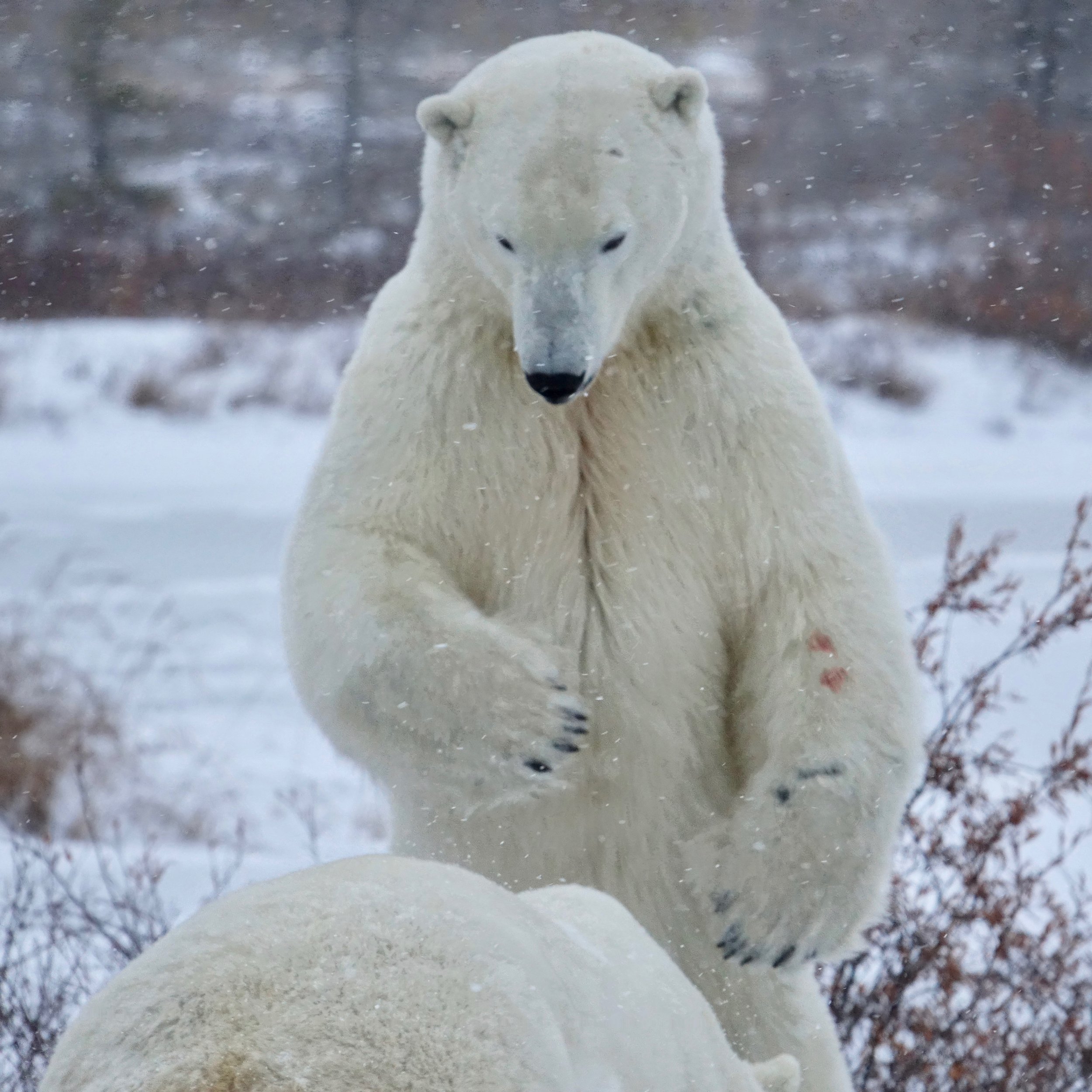
Even when biting and clawing one another, polar bears are silent no grunts or anything
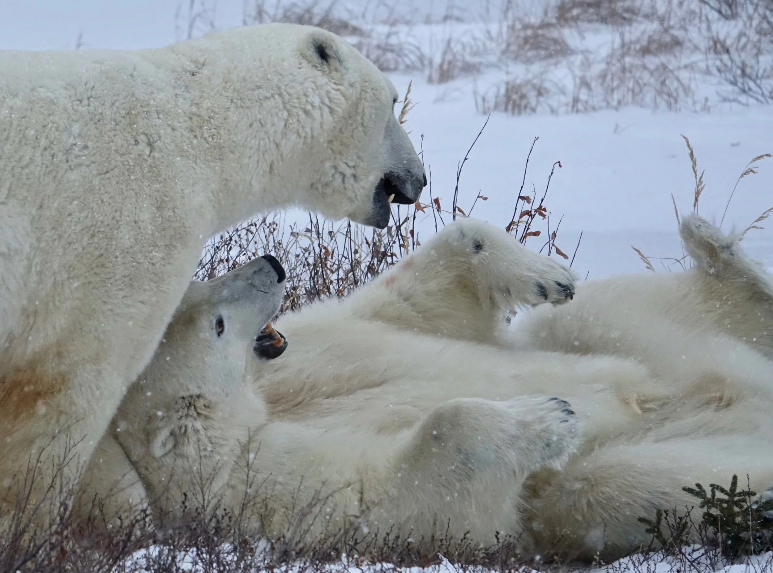
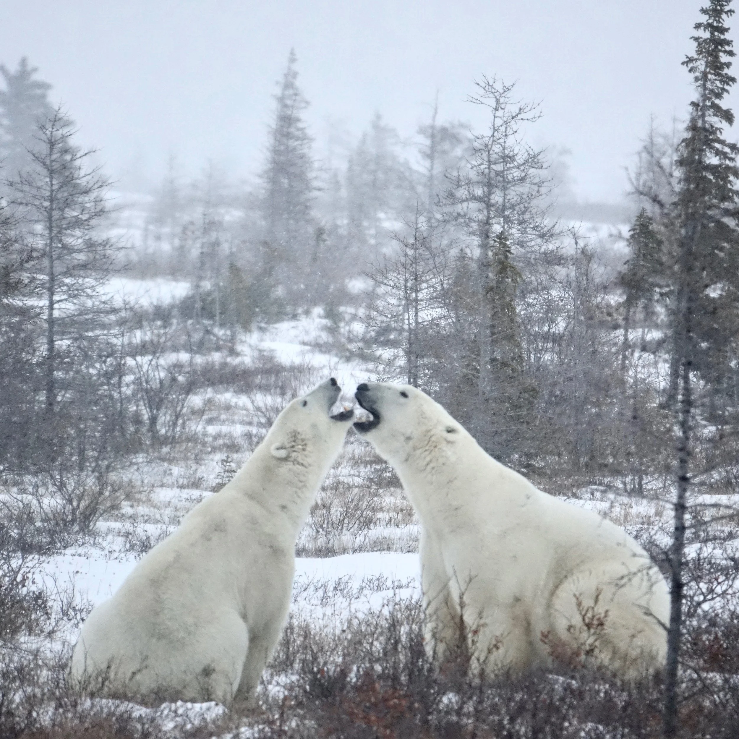
Kissing bears
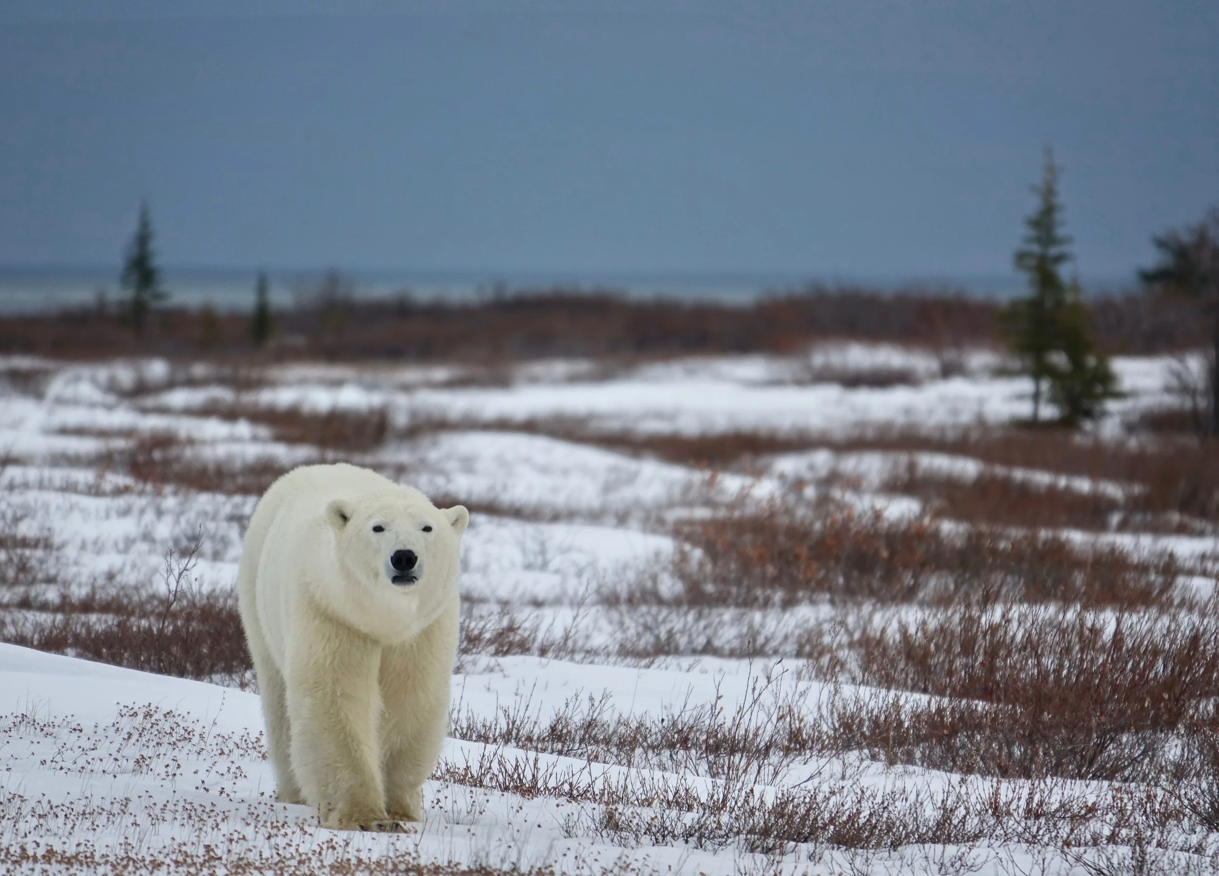
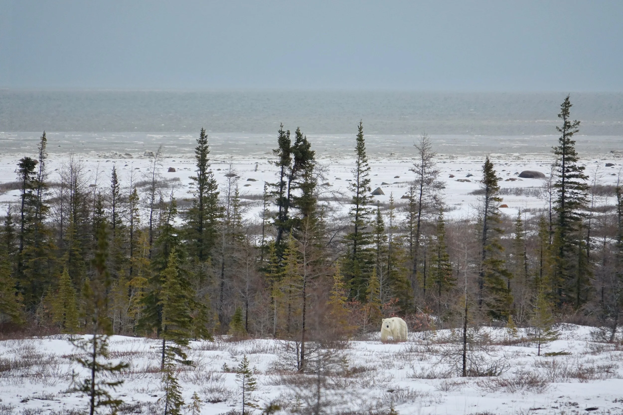
Looking towards the Hudson Bay
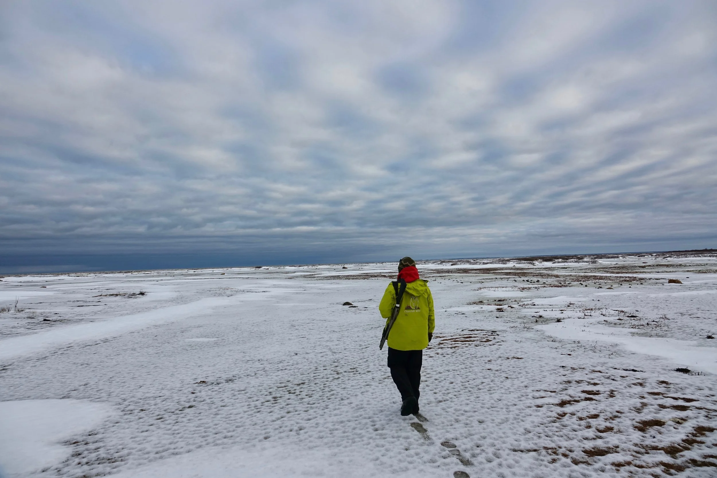
Terry was always in the lead with an assortment of weapons
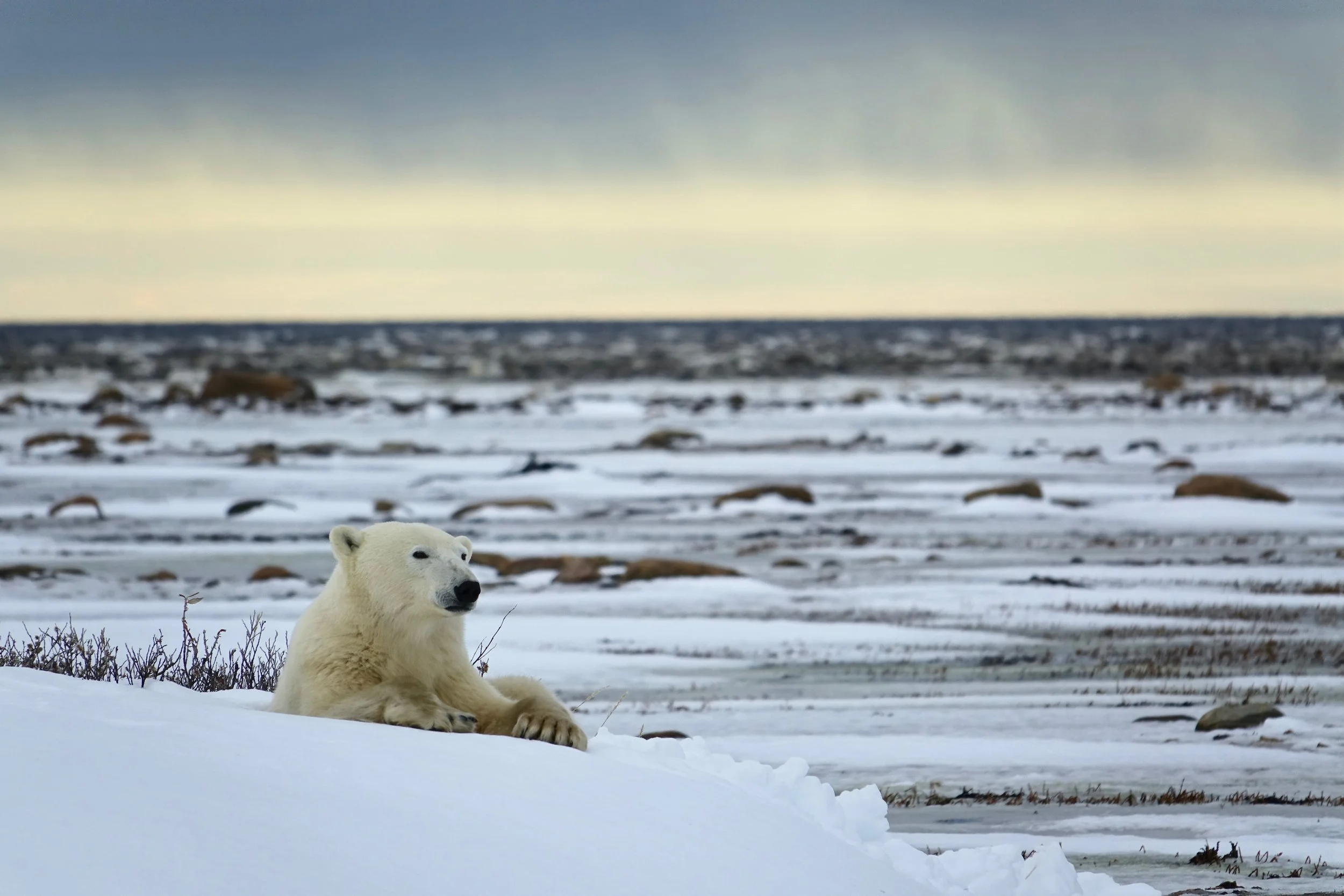
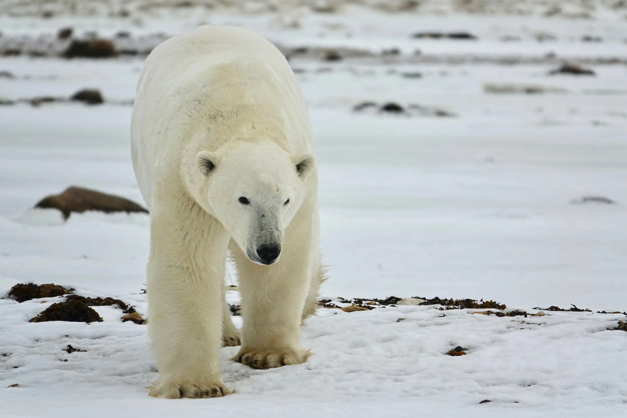
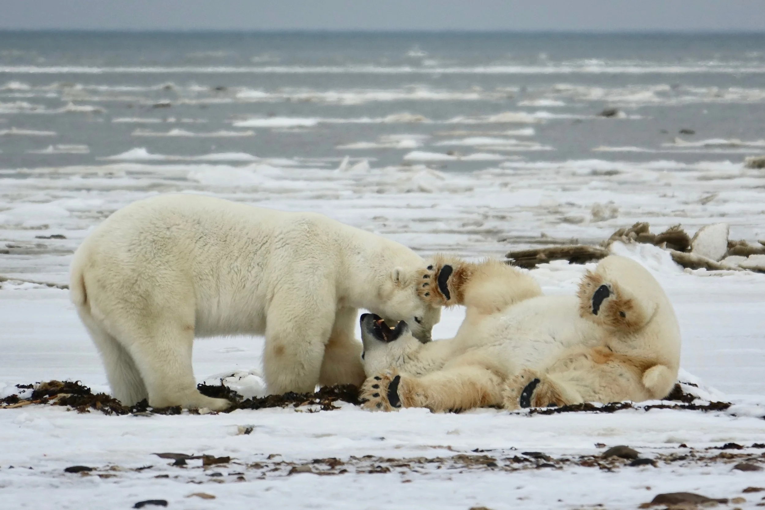
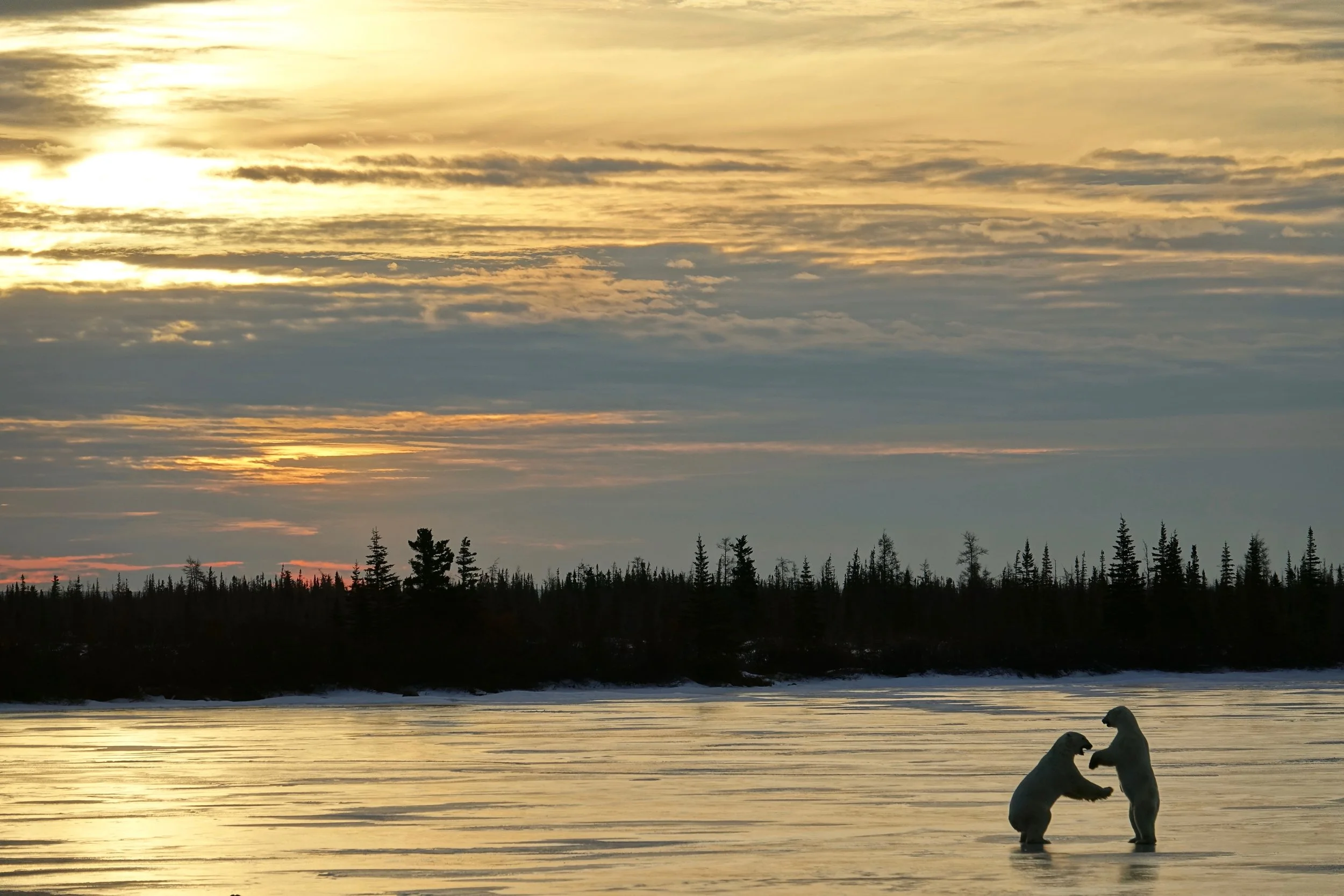
Polar bear “high five”
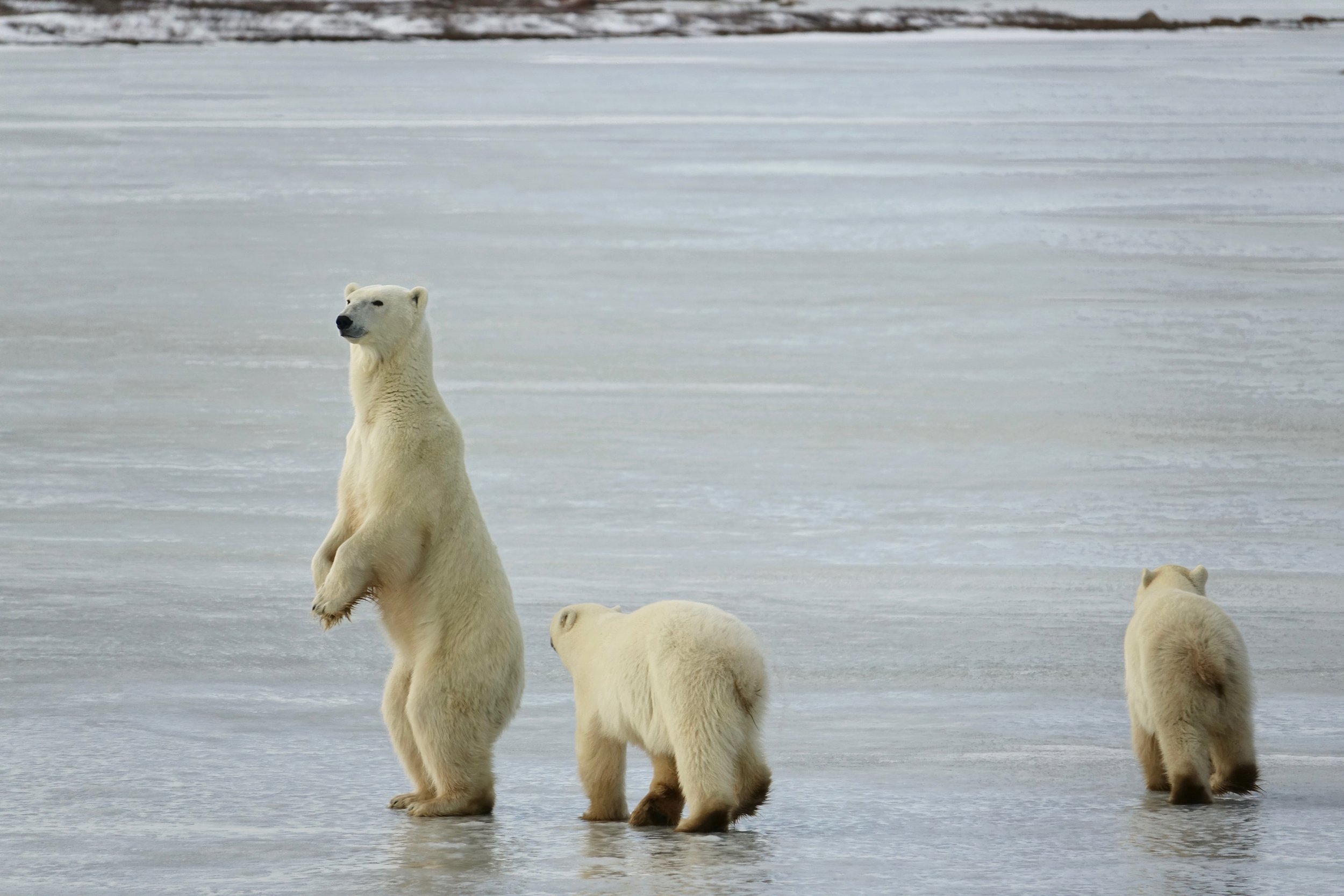
On the final day we followed a mom and her two cubs. Mom stood up to get a better view of an approaching bear as the cubs started to run away
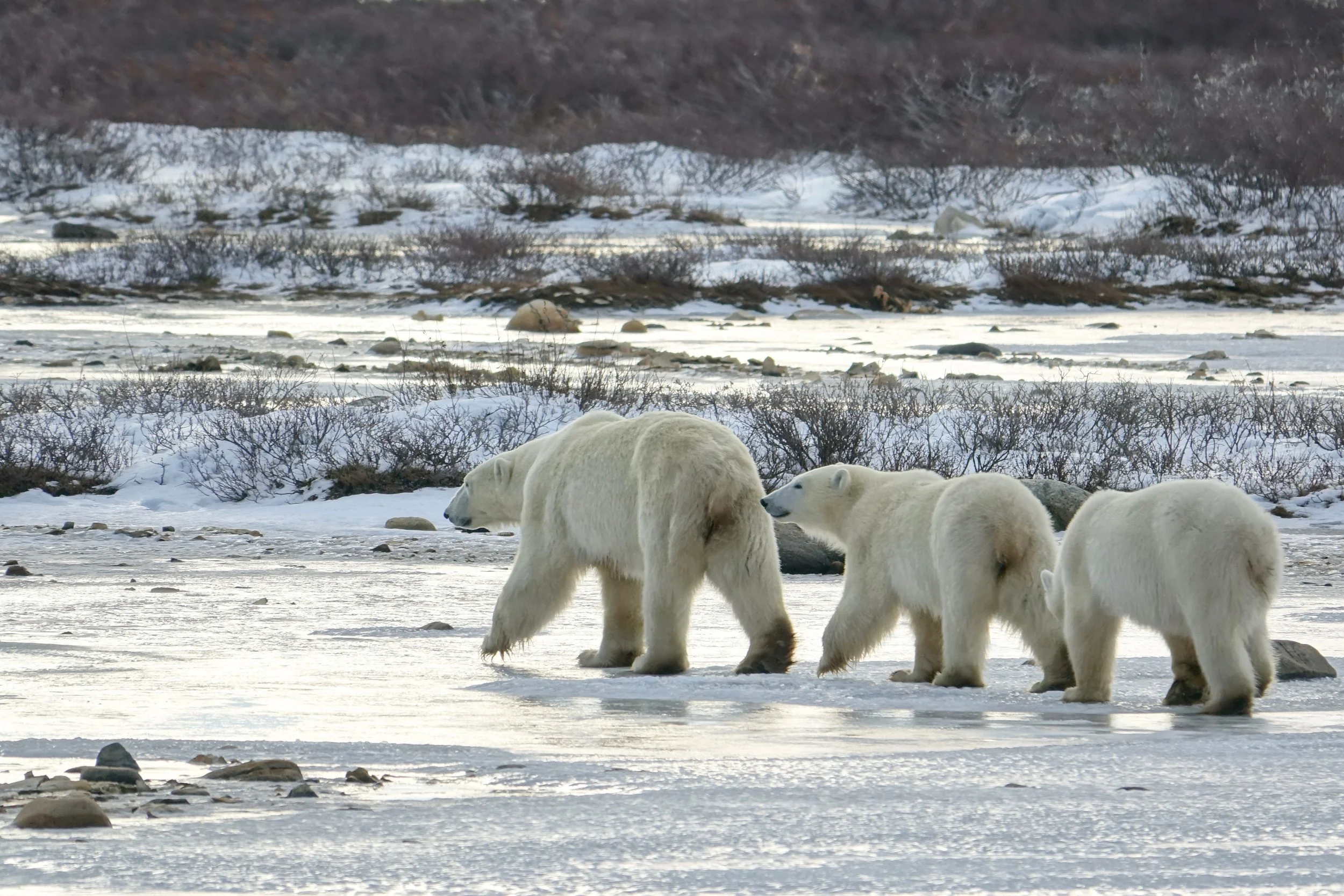
Likely the final summer together for this family, after two years cubs are usually on their own.
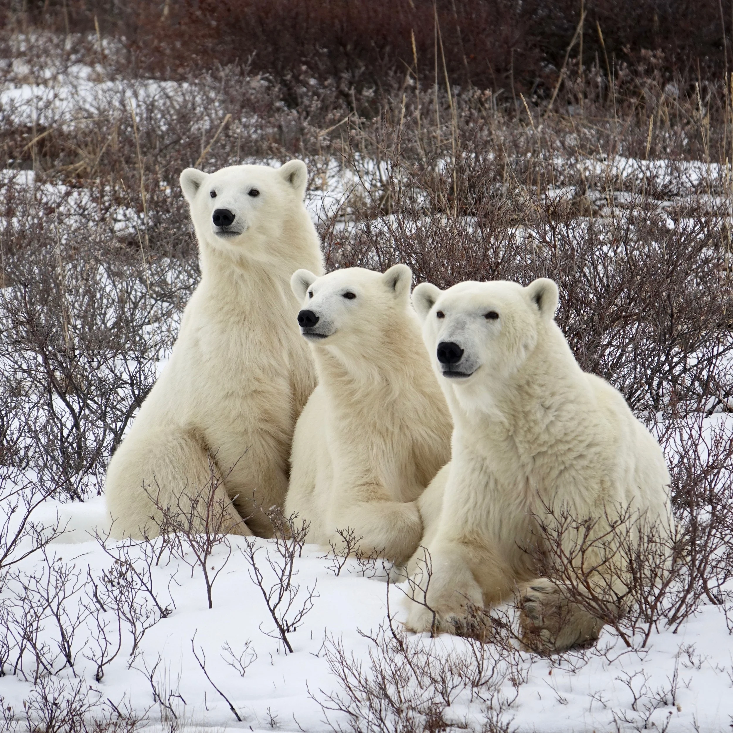
Family portrait