Black Ridge Canyons Wilderness
Rattlesnake-Mee Route
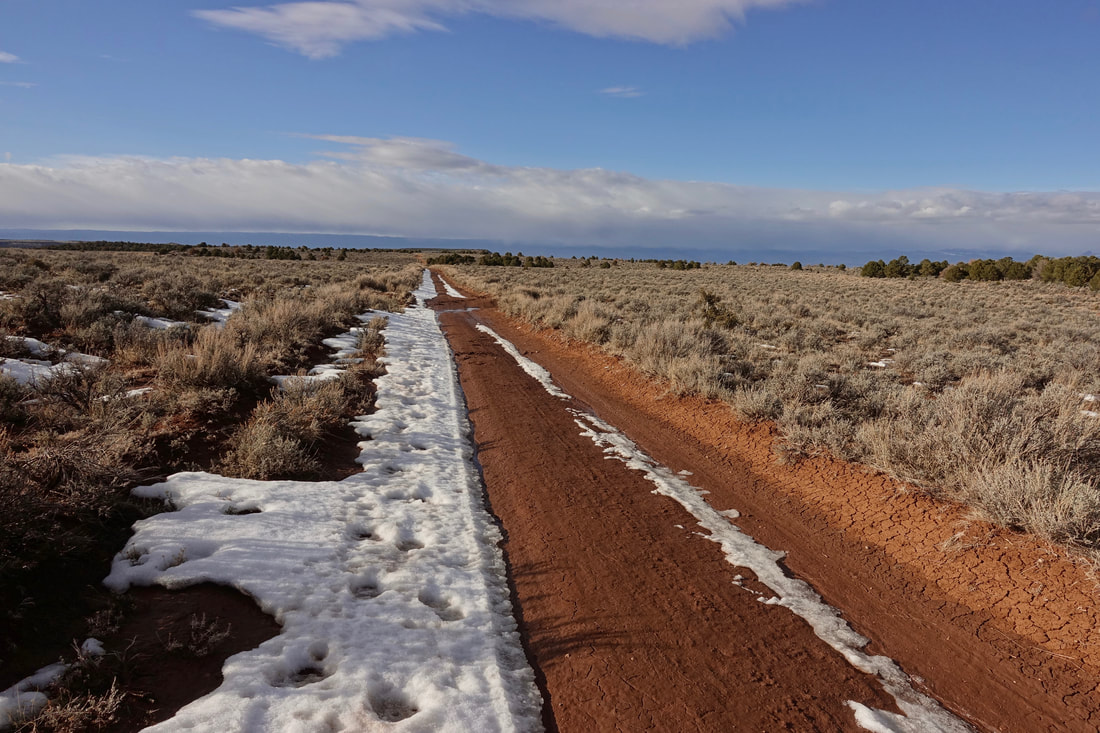
Both access roads are closed to Rattlesnake Canyon in March, an ideal time to walk the area as the roads become trails
I started in late afternoon and camped about halfway up the access road. The roads were muddy making the decision to stop for the night easy
By mid-morning I had hidden all water for the week and descended into the lower level with a view of Two Feathers Arch
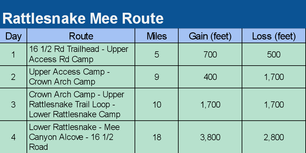
I did what I am calling the "Rattlesnake-Mee Route" over four days. All water was carried from the start. Day one was a planned half day to break up the water carry into the area.
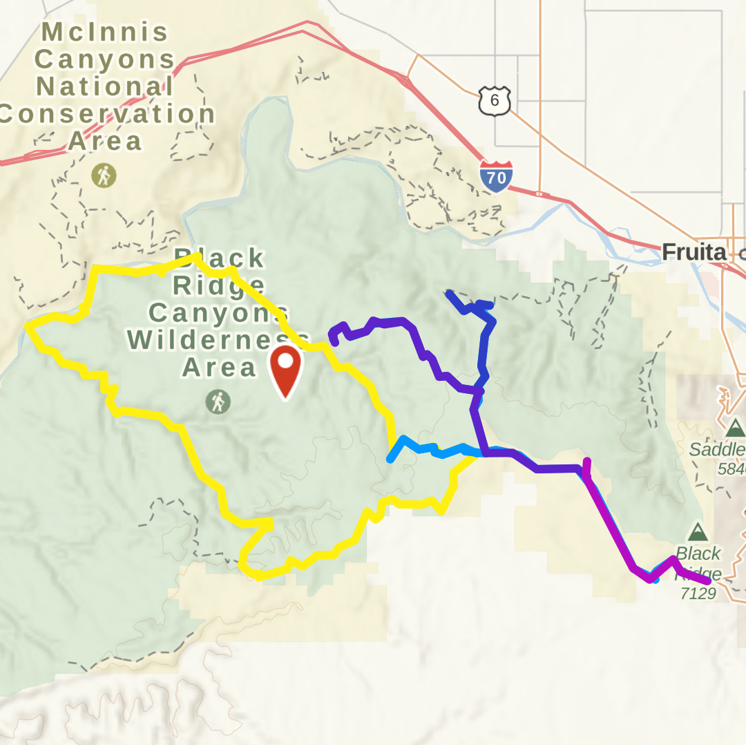
Overview map of the walks. The purple/blue is the Rattlesnake-Mee Route. The yellow is the Mee-Knowles Route (yet to be completed)
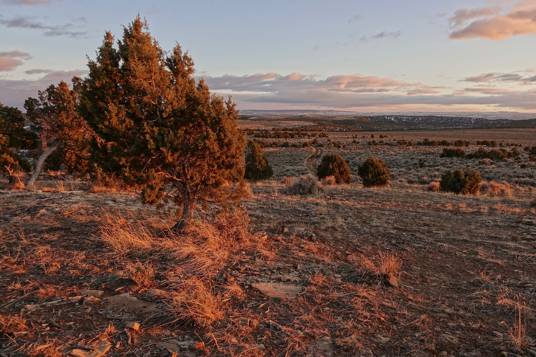
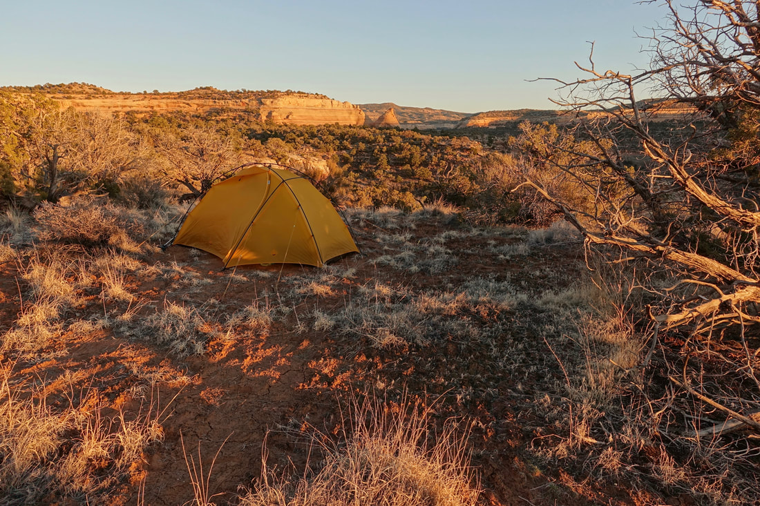
My favorite camp of the week, overlooking Mee Canyon near Crown Arch
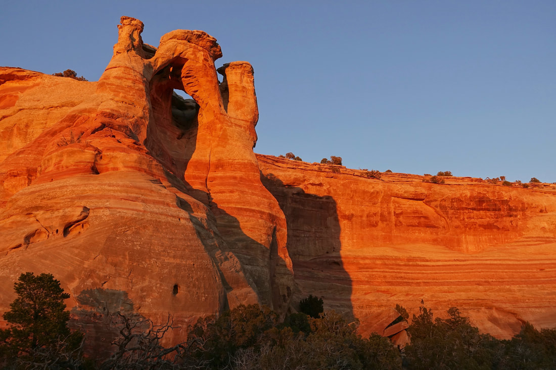
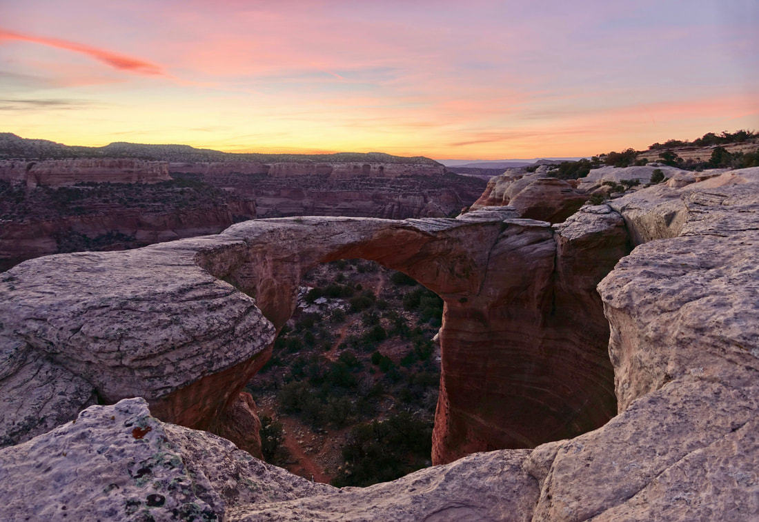
Crown Arch at sunset
The next day I walked north into Rattlesnake Canyon. The upper Rattlesnake trail is better than the lower although camping down low is required by BLM
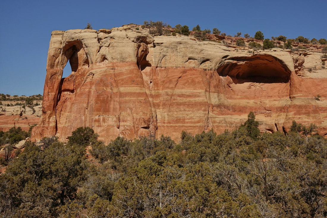
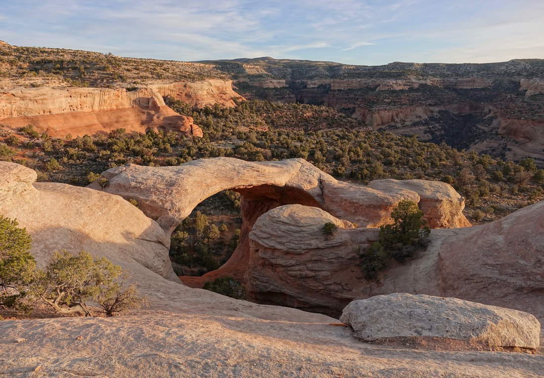
The arches have several names making research confusing, but know that most of the major arches are in this area. Centennial Arch is the largest, also known as East Rim, Rattlesnake, or Akiti Arch
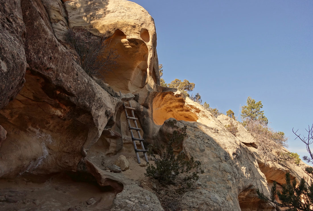
On the final day I went briefly into Mee Canyon to check out the alcove. The trail system is more rugged than Rattlesnake although marked with cairns throughout
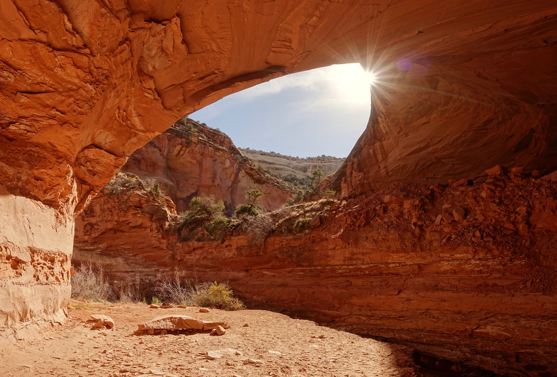
Mee Canyon Alcove is impressive. Largest alcove in the Colorado Plateau
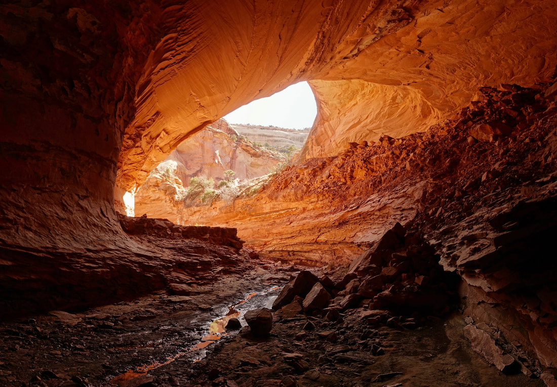
From deeper in the alcove
