Arizona Hiking Trails
Paria Canyon
El Pinacate y Gran Desierto de Altar
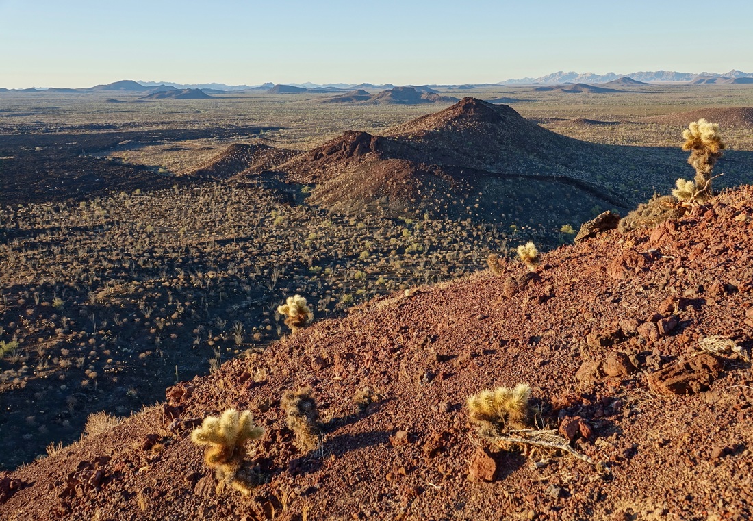
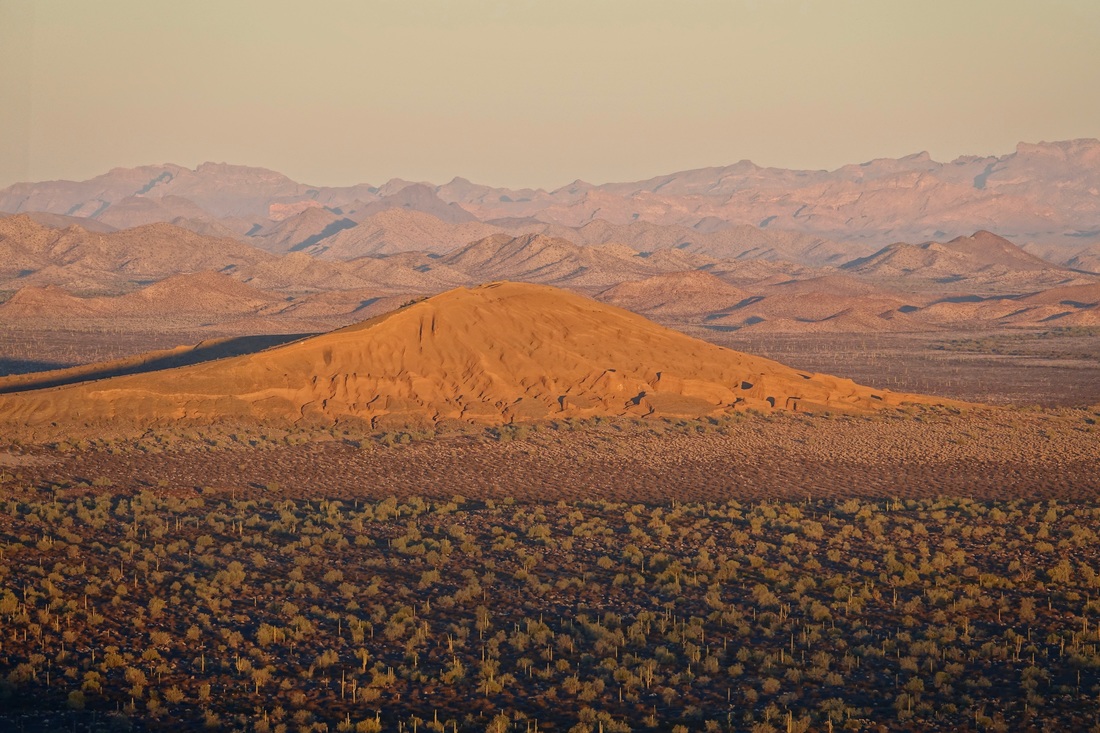
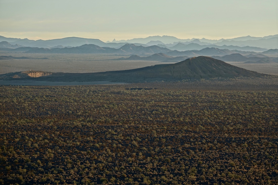
In December 2016 I visited Cactus country in southern Arizona and jumped across the border to El Pinacate y Gran Desierto de Altar reserve in Mexico.
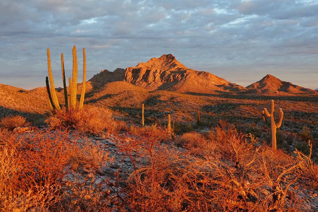
View from the cinder cone above the Tecolote camp, looking towards Cerro Colorado and the northern section of the park.
El Pinacate is accessed by crossing the Sonoyta border station. About halfway to Puerto Penasco, there is a visitor station directly off highway 8. They accepted US dollars for the entrance fee. The reserve has a second campsite in the southern section called Rojo Cono, which has a longer 7 mile climb. A 4WD vecihle is needed to reach it
Superstition Mountains
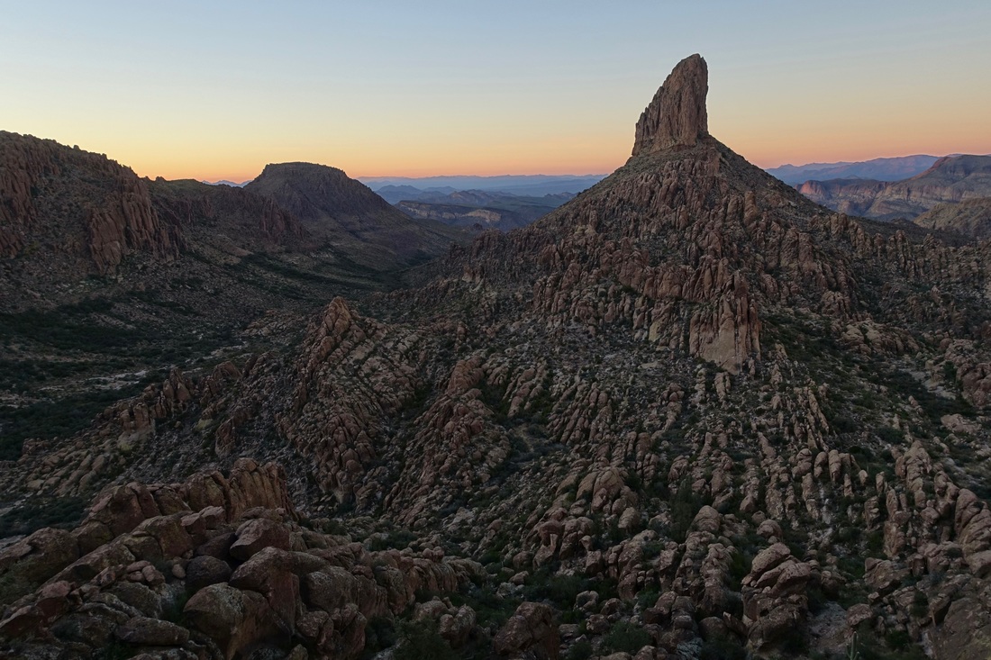
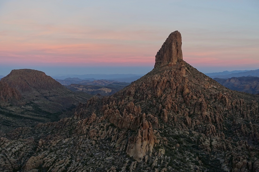
The Peralta trail leads to Fremont Saddle with views of Weavers Needle. I completed the full loop here combining the Peralta trail with the Dutchman (20 miles, 2400ft)
There are some places labeled with names that sound like water sources on the map (Bluff spring, Whiskey spring, etc), but there was no water on the loop during my hike
I was the only person camping next to Weavers Needle on a Sunday night in December, although I passed several backpackers in the morning in the back side of the park on the Dutchmans loop.
Organ Pipe Cactus National Monument
The western section of Organ Pipe is more remote, with a long drive around Puerto Blanco and also the longest hike in the park around Senita Basin (~11 miles from Red Tanks trailhead)
In the eastern section, I camped at Alamo Canyon and drove the Ajo Mountain loop which has pulloffs every mile making it possible to explore
Kofa Wildlife Refuge
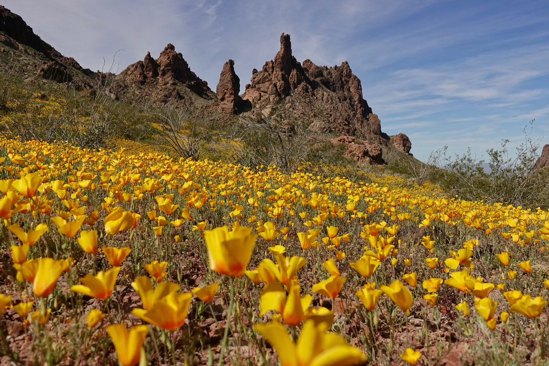
March wildflowers in the Kofa Mountains
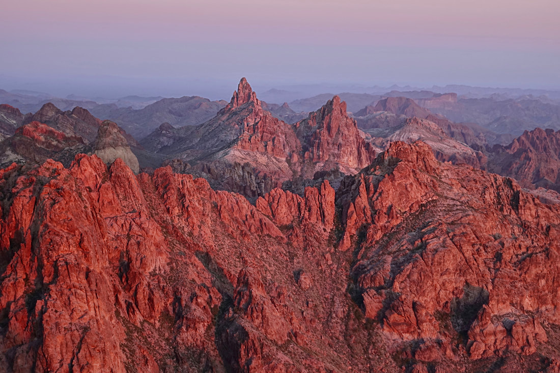
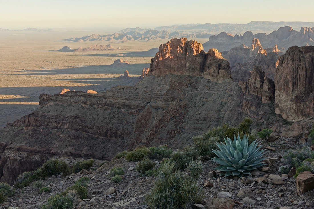
View from the summit of Signal Peak looking east over the Kofa mountain range
I camped in one of the alcoves on the west side of mountain to avoid the wind on the summit
Saguaro National Park West
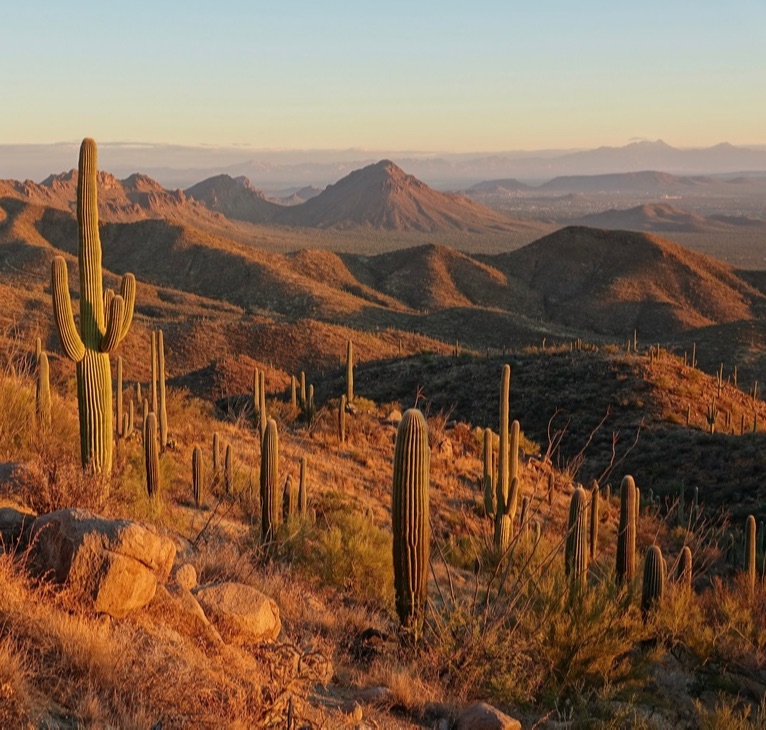
The trails in Saguaro West are basically several different ways of climbing Wasson peak. The larger and more extensive trail system for backpacking is found in Saguaro East, which I hope to visit on a return trip. The King Canyon-Hugh Norris loop includes the summit of Wasson peak (8 miles, 2000ft return)
