Tasmania
West Coast
West Coast
In February/March 2020 I walked down the west coast of Tasmania from Strahan to Melaleuca
Chapman sold me on the trek in his guidebook by saying that only one person completes it every three years
As anticipated I did not see anyone until the Port Davey track near the end
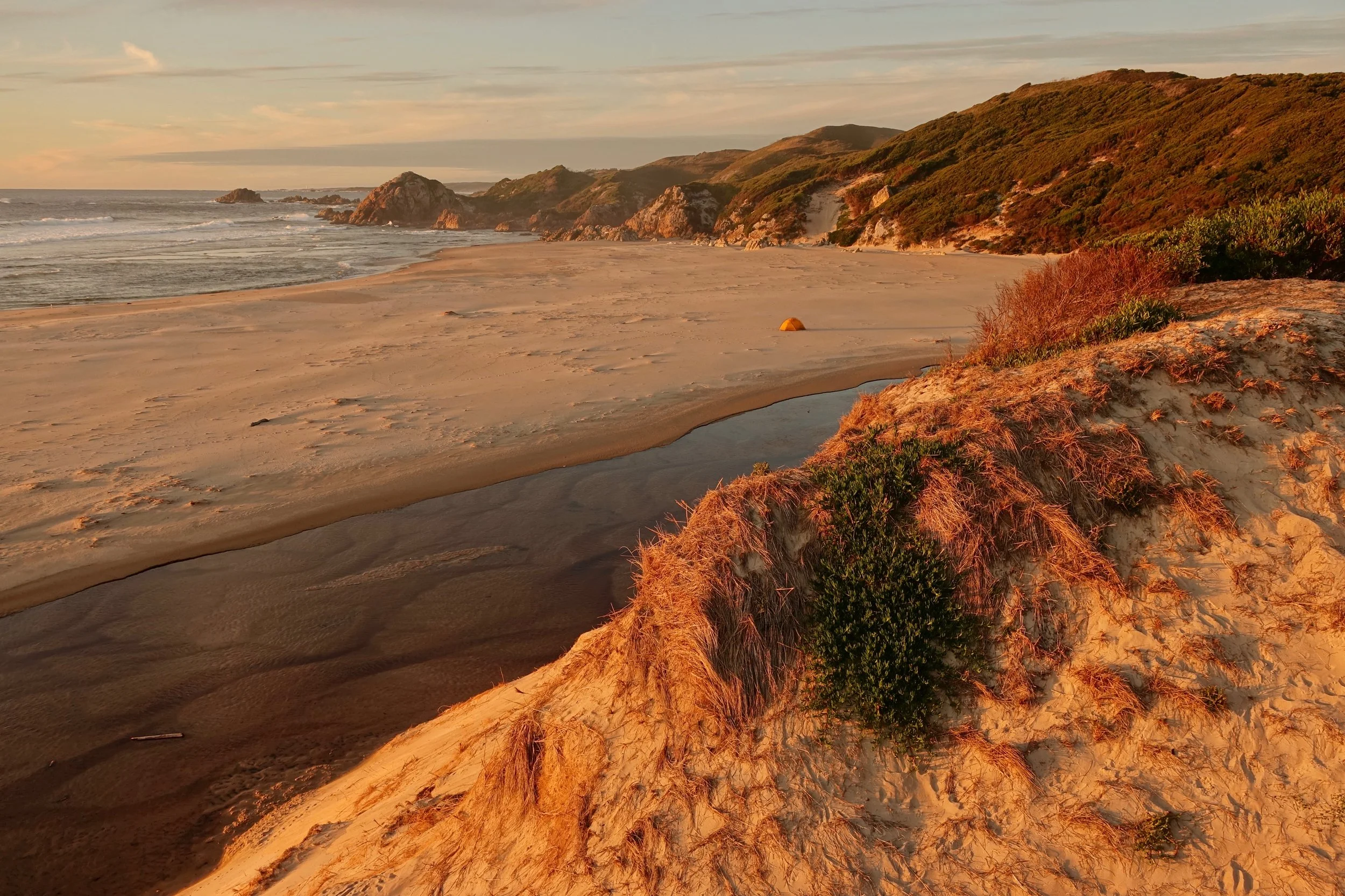
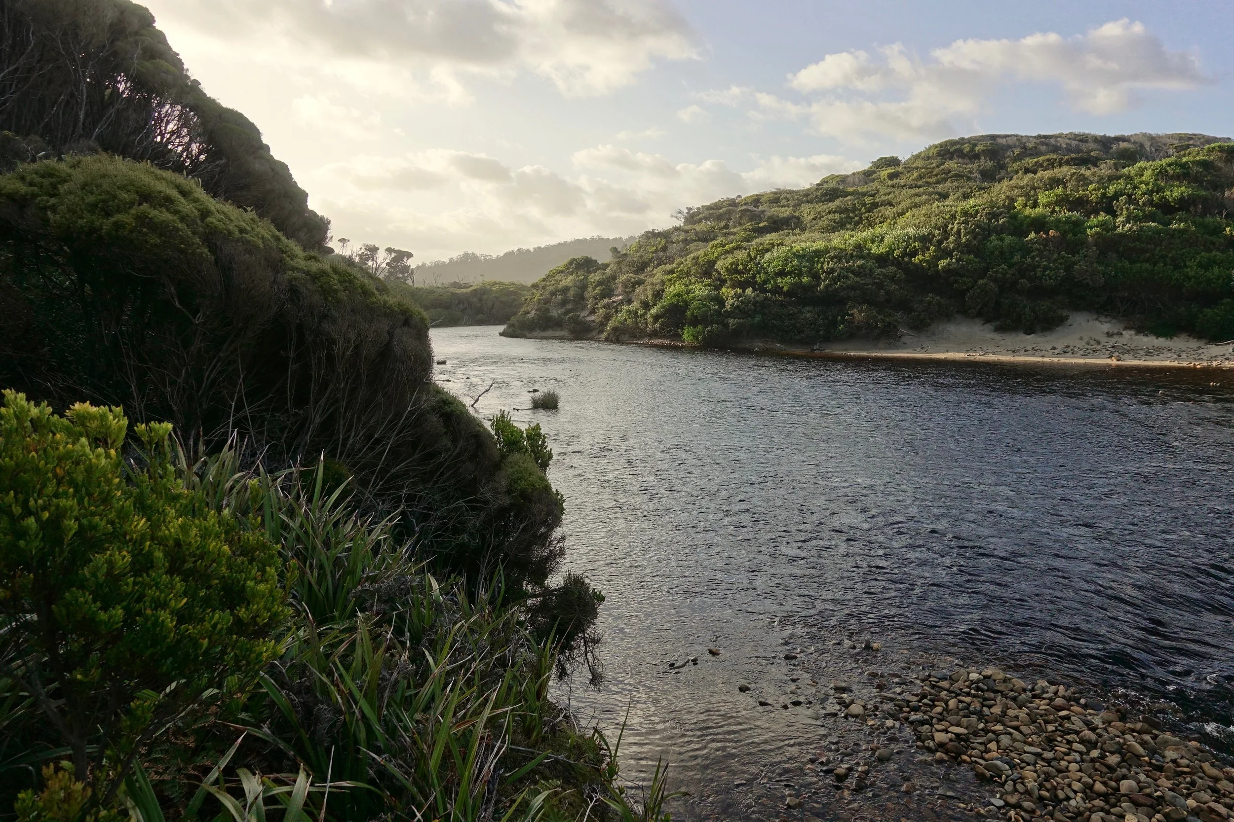
Calm evening near Dunes Creek
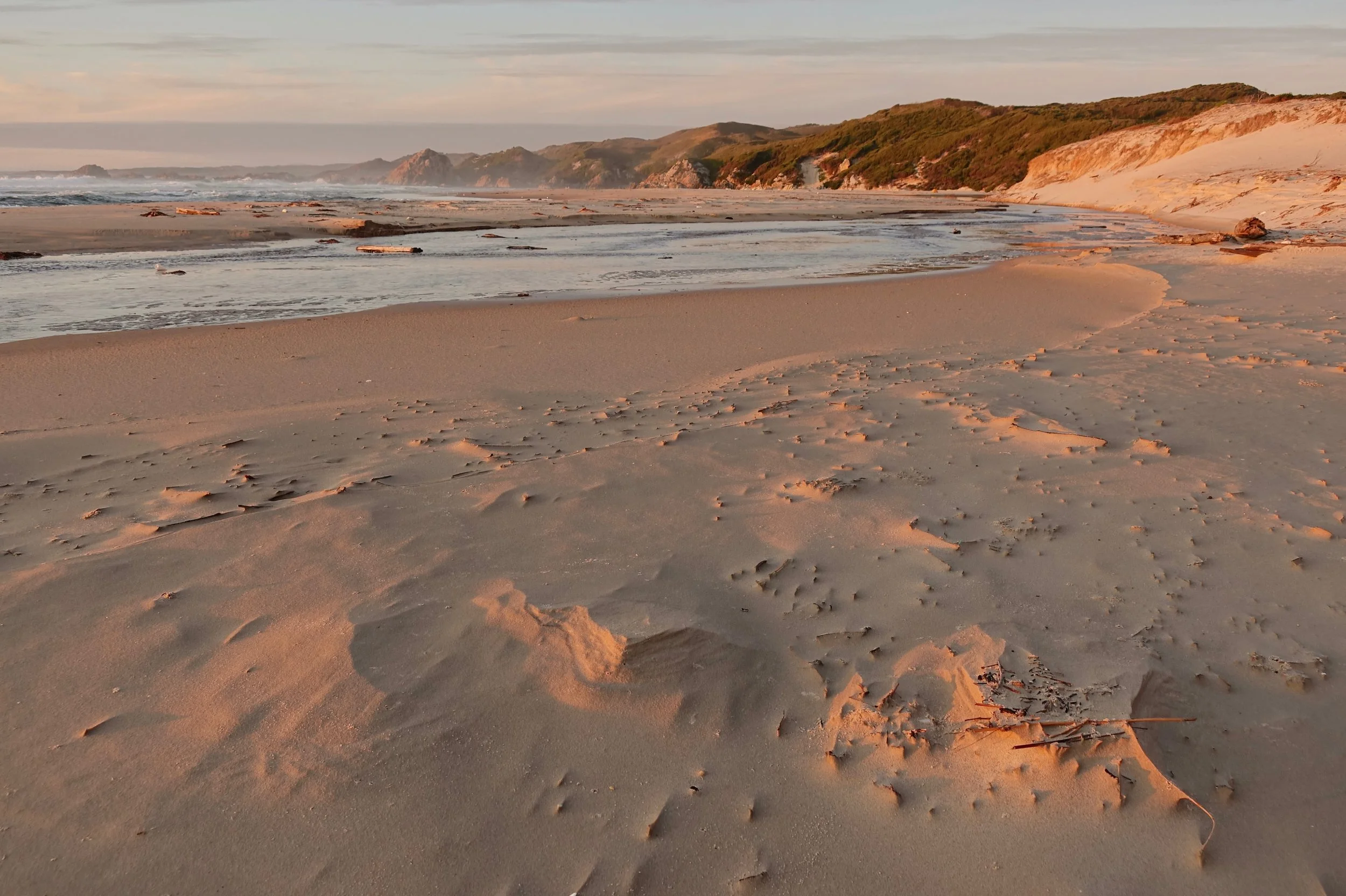
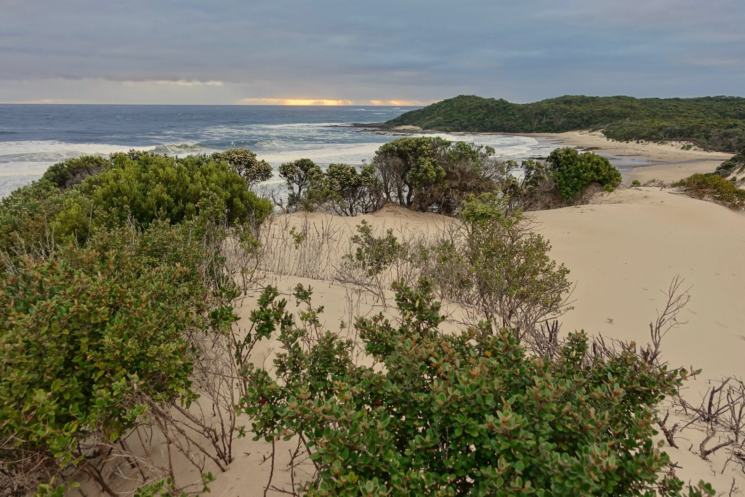
Dunes beach at sunset
The tour companies in Strahan are not hiker friendly so the only option to get to the beginning of the walk is to hitch a ride with local fisherman. I had good luck at the boat dock near the Macquarie Heads campground and was across in less than thirty minutes. I took the bus around the country to reach Strahan and a flight back from Melaleuca

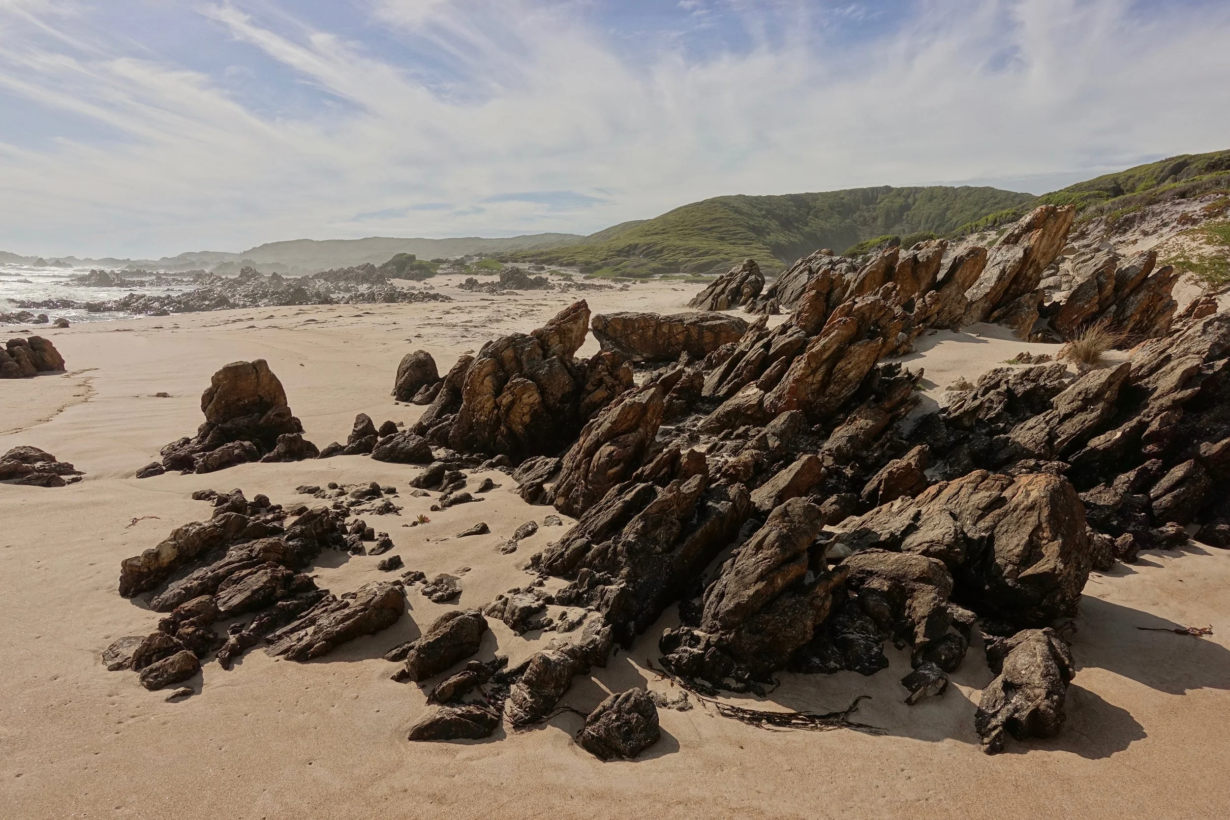
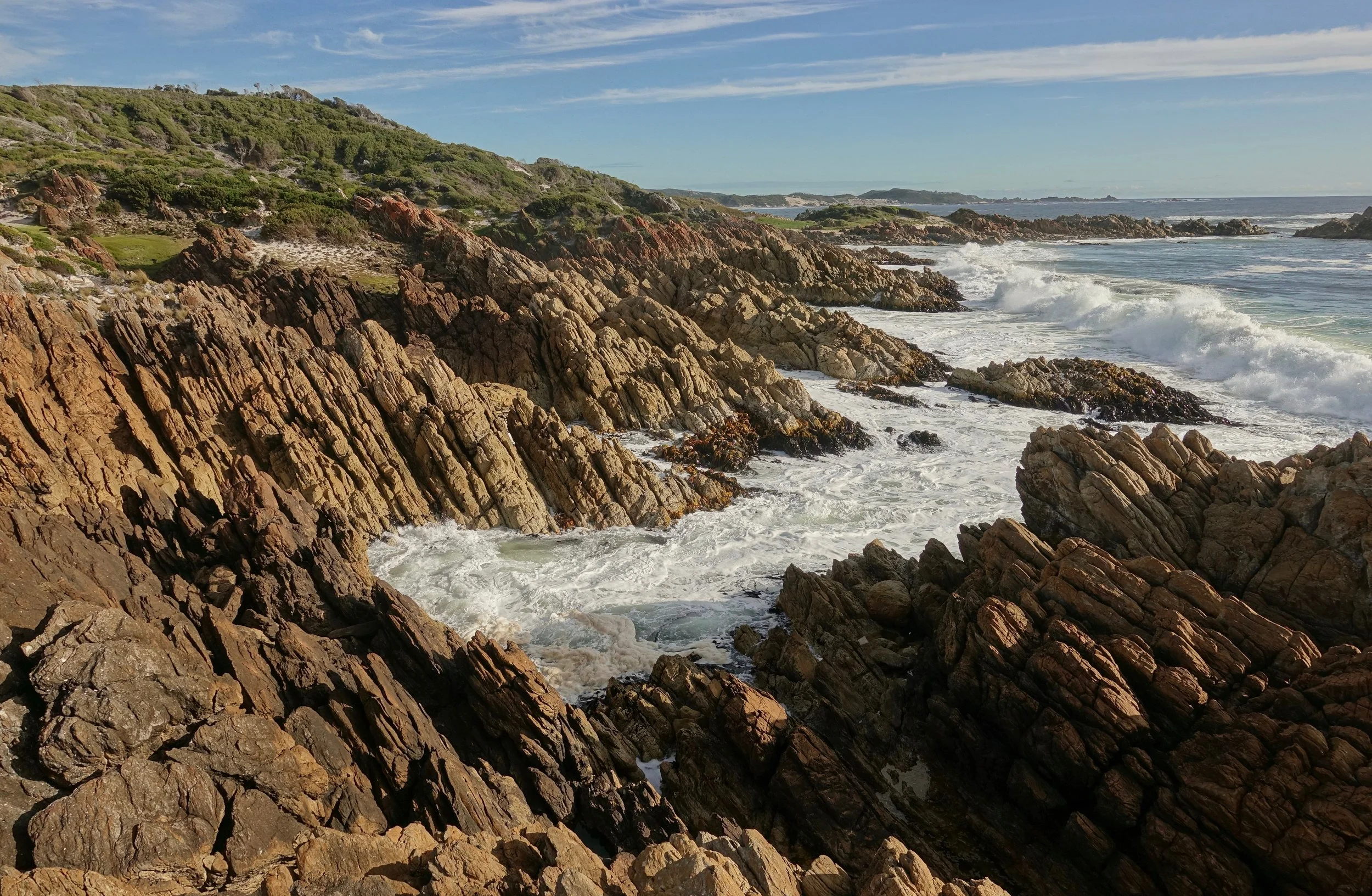
The unique feature about the northern section of the coast are the gulches. They vary from a fun climbing experience at low tide to quite challenging at high tide
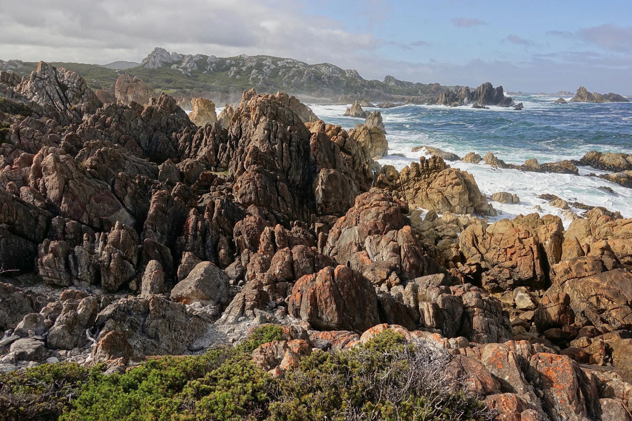
Typical terrain along the northern coastline

Taking the path of least resistance
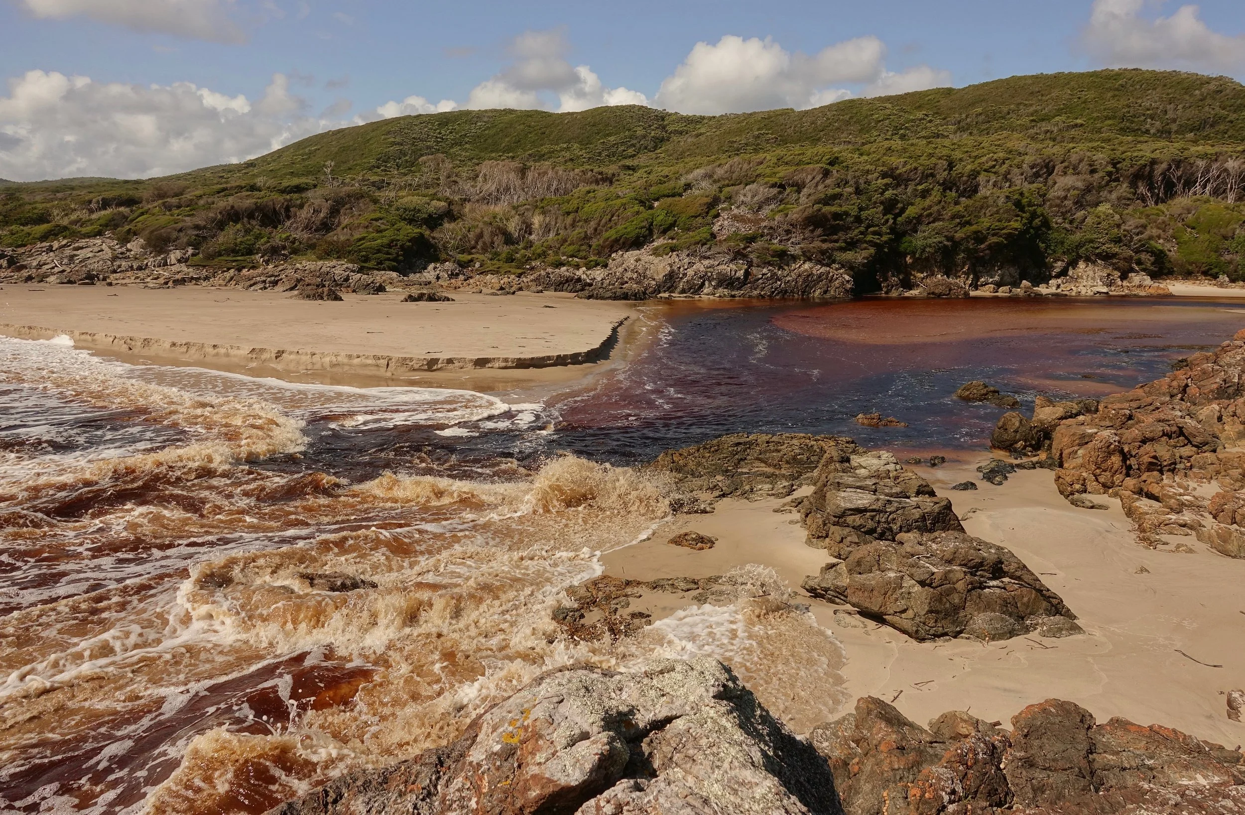
The rivers went from chest deep at the beginning to requiring short swims with the nightly rainfall
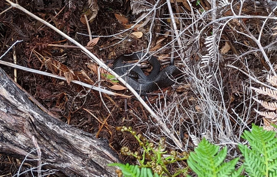
The high winds also allowed some wildlife encounters as the animals could not hear me approaching. Tassie devils, wombats, and wallabies to name a few. Tiger snakes mostly moved away before I could spot them. The exception being one I pinched between the rocks on the beach during a storm. Good break to walk away without a bite as the snake got into attack position, raising the scales on its neck.
There was a sheltered camp on the north bank of the Hibbs River to get out of the rain. Make note of the suggested campsites in Chapman's guide for the north, camps in the south are easy to find
Clear weather in the morning which allowed the helicopter to arrive with food. The pilot also gave me a lift over the Christmas Cove area (see Cam's notes- he averaged 3 miles/day here compared to his normal pace of 35 miles/day on the Continental Divide Trail)
The area around Low Rocky Point was recently burnt and I gained a few days progress here reaching Nye Bay for sunset
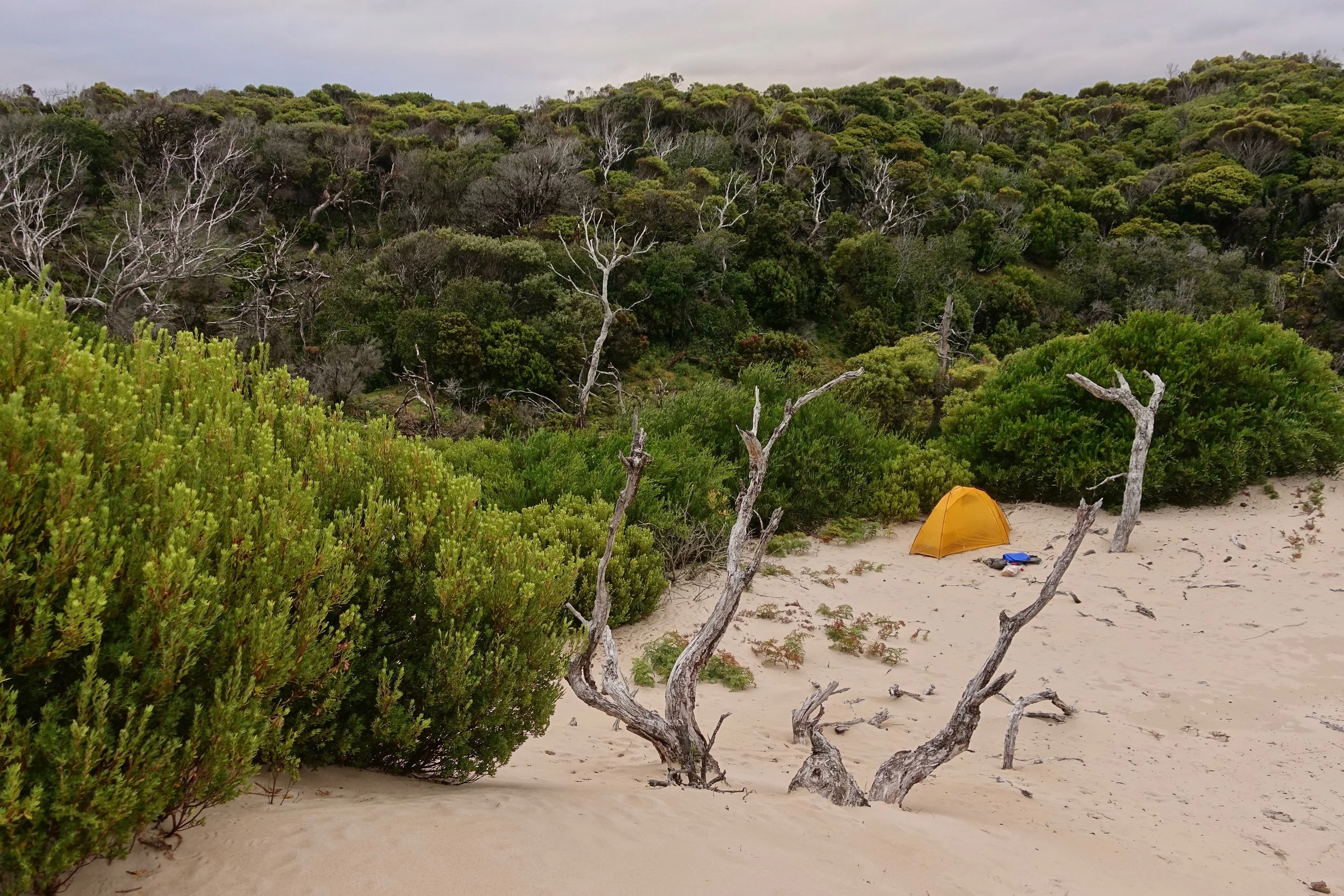
Sheltered camp in the dunes, a low elevation area near brush was effective in blocking the wind
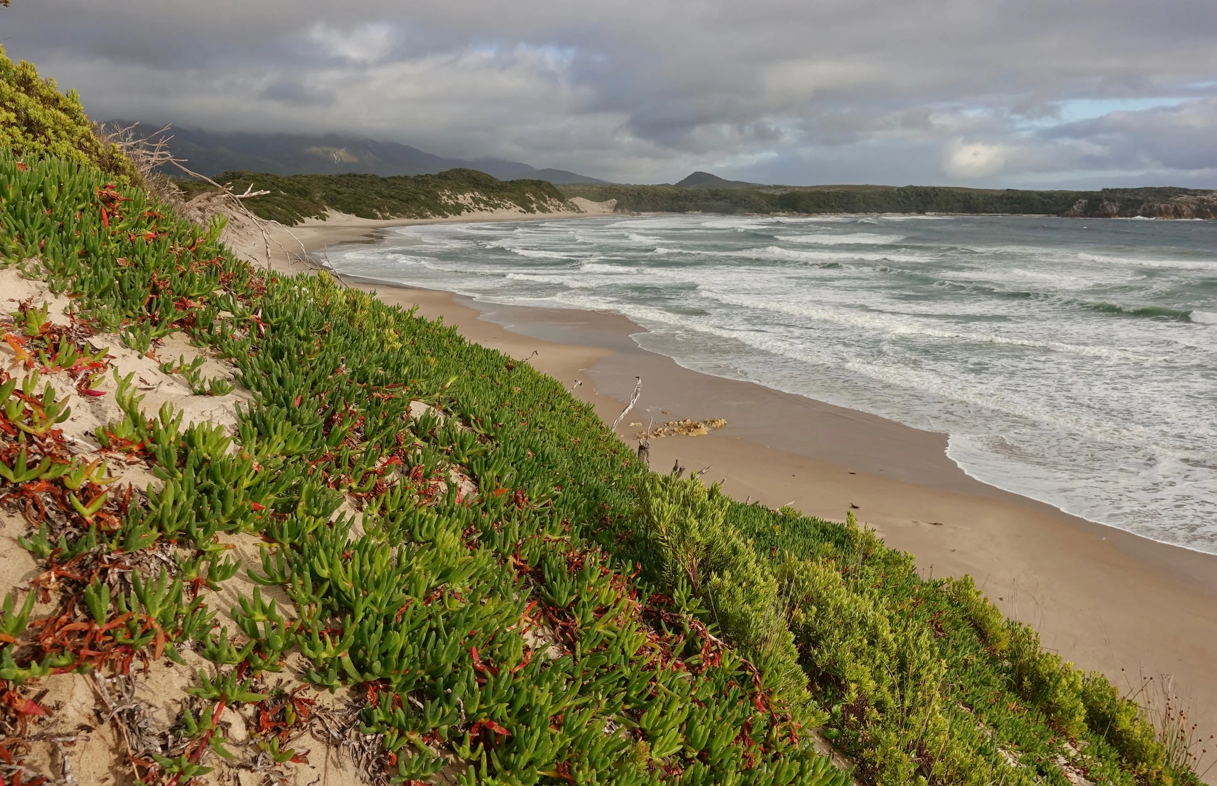
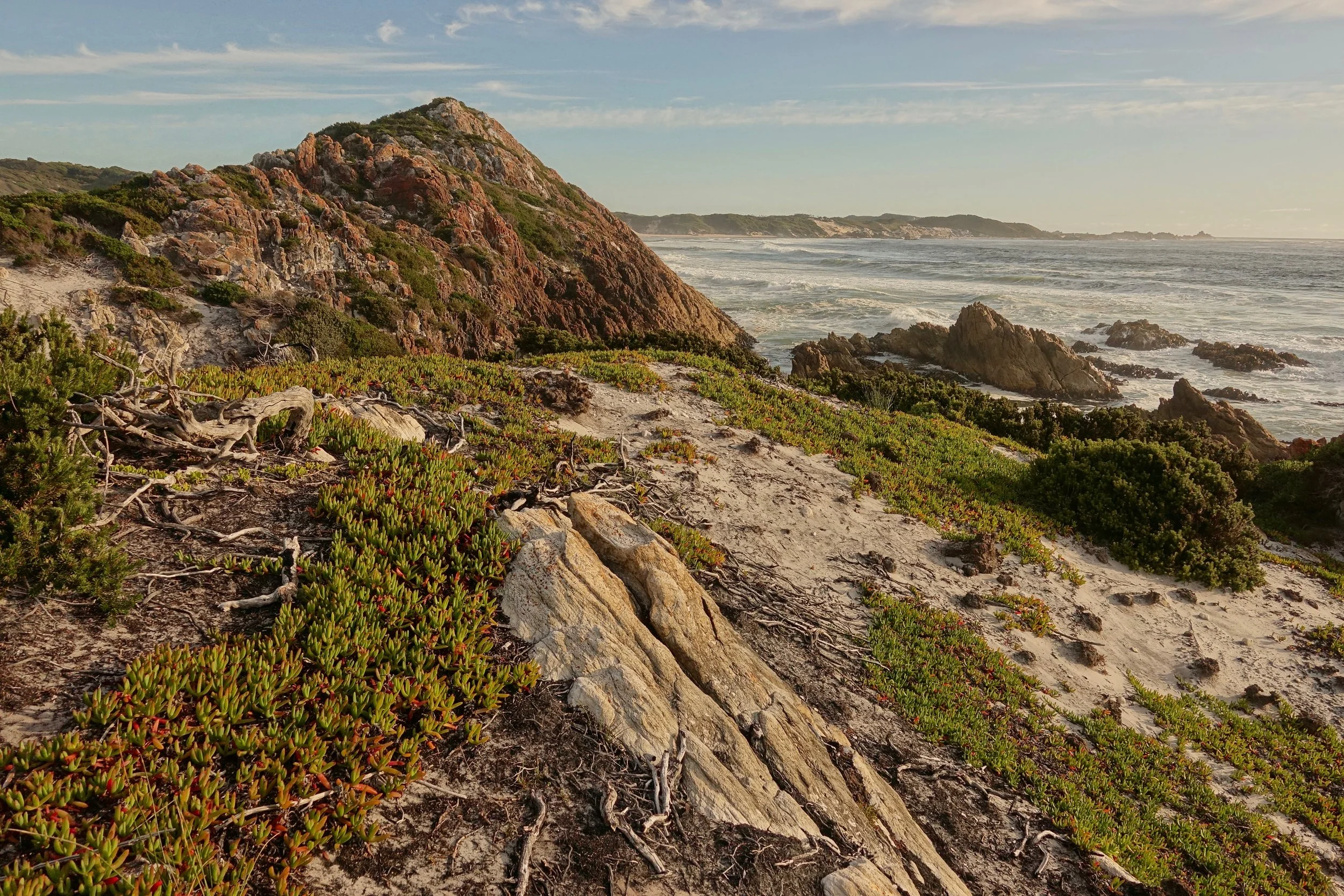
Mulcahy Bay
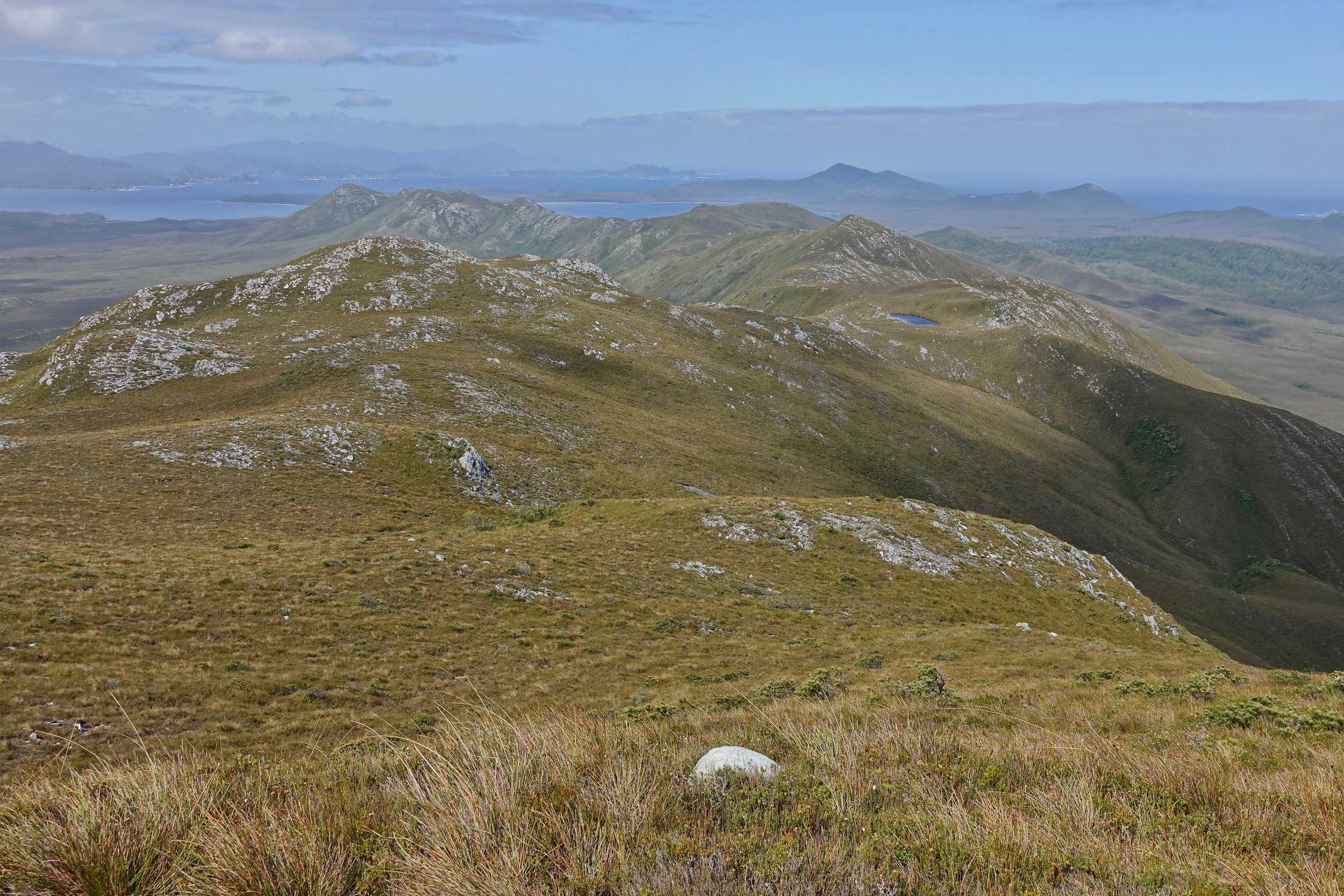
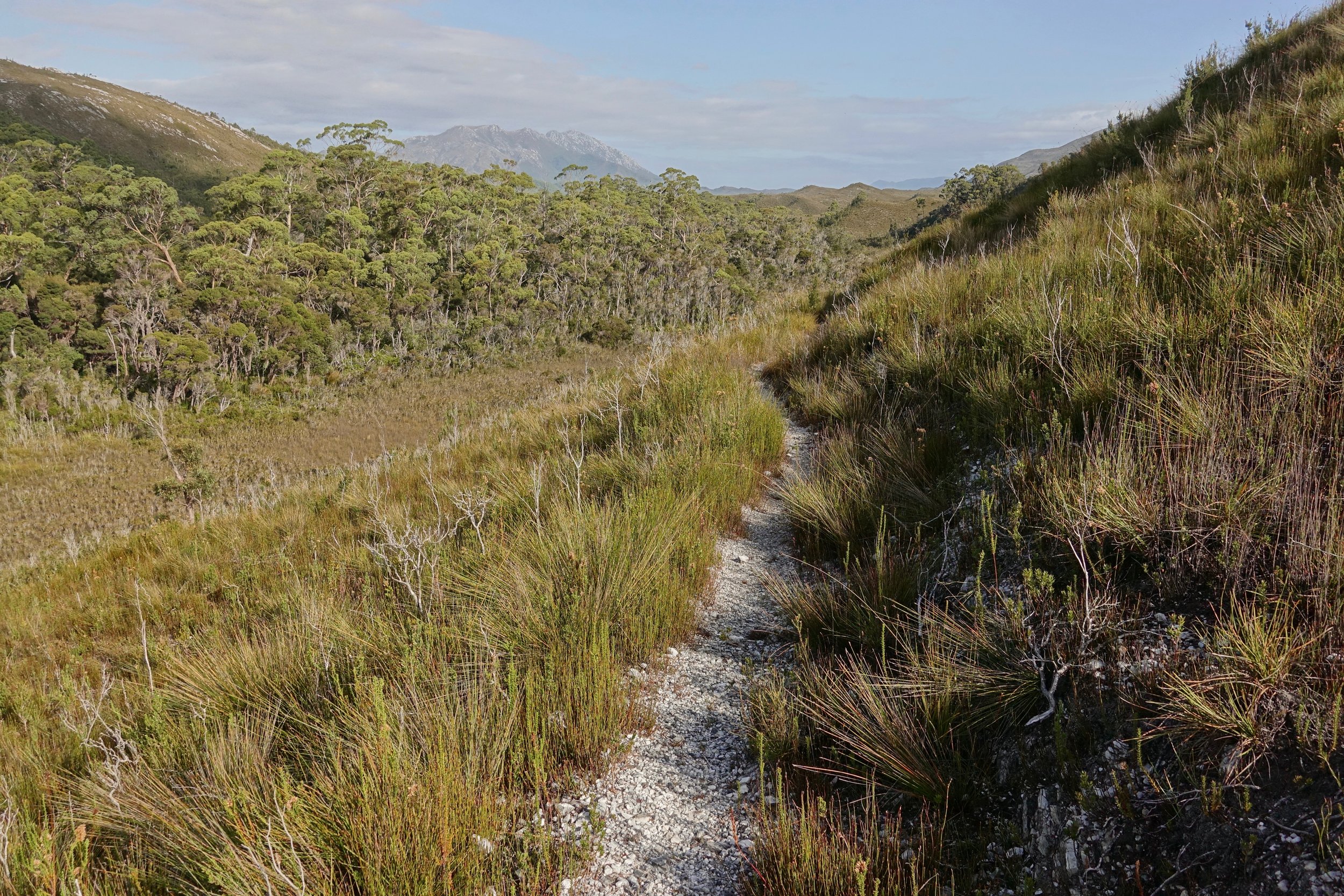
I went high from Wreck Bay traversing the ridge line of the De Witt Range south to take advantage of the first day in a week without any wind. There is an alpine lake to resupply on water. One of my favorite days of the trip
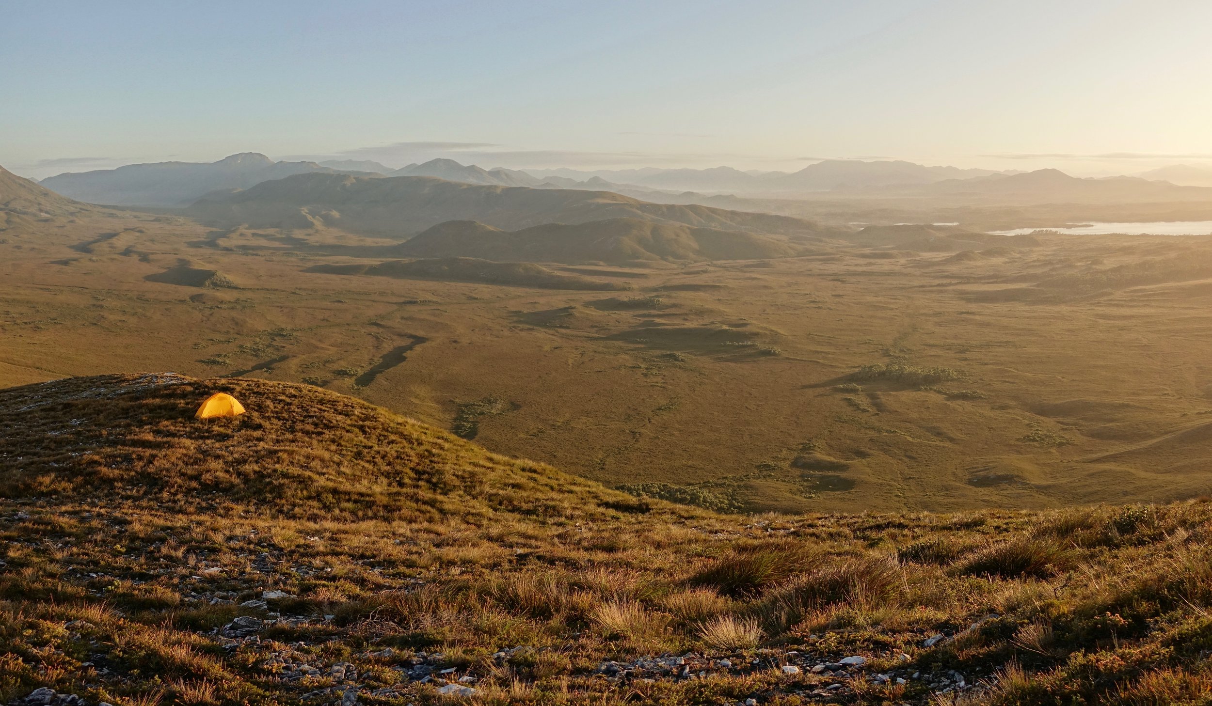
I decided to camp high finishing in the early afternoon
Looking south from the De Witt Range towards James Kelly Basin
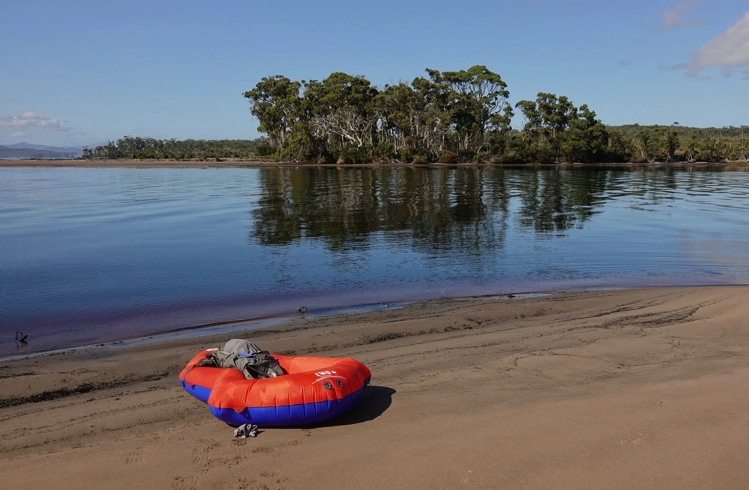
I crossed the Davey belly down, paddling with my arms on a blow-up raft I had carried specifically for this purpose. Important to have a low or rising tide here. My dad sent the current tide times through the satellite messenger.
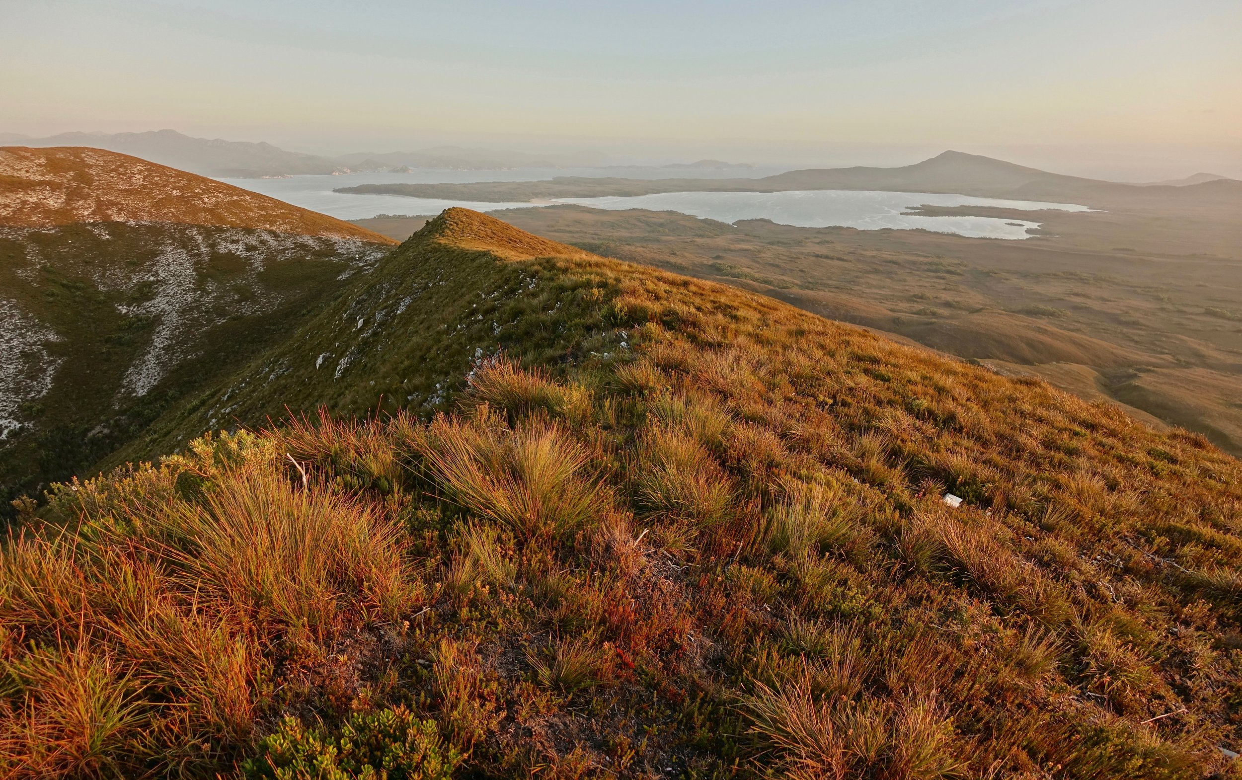
I enjoyed the final day of good weather reaching the Port Davey Track in the evening
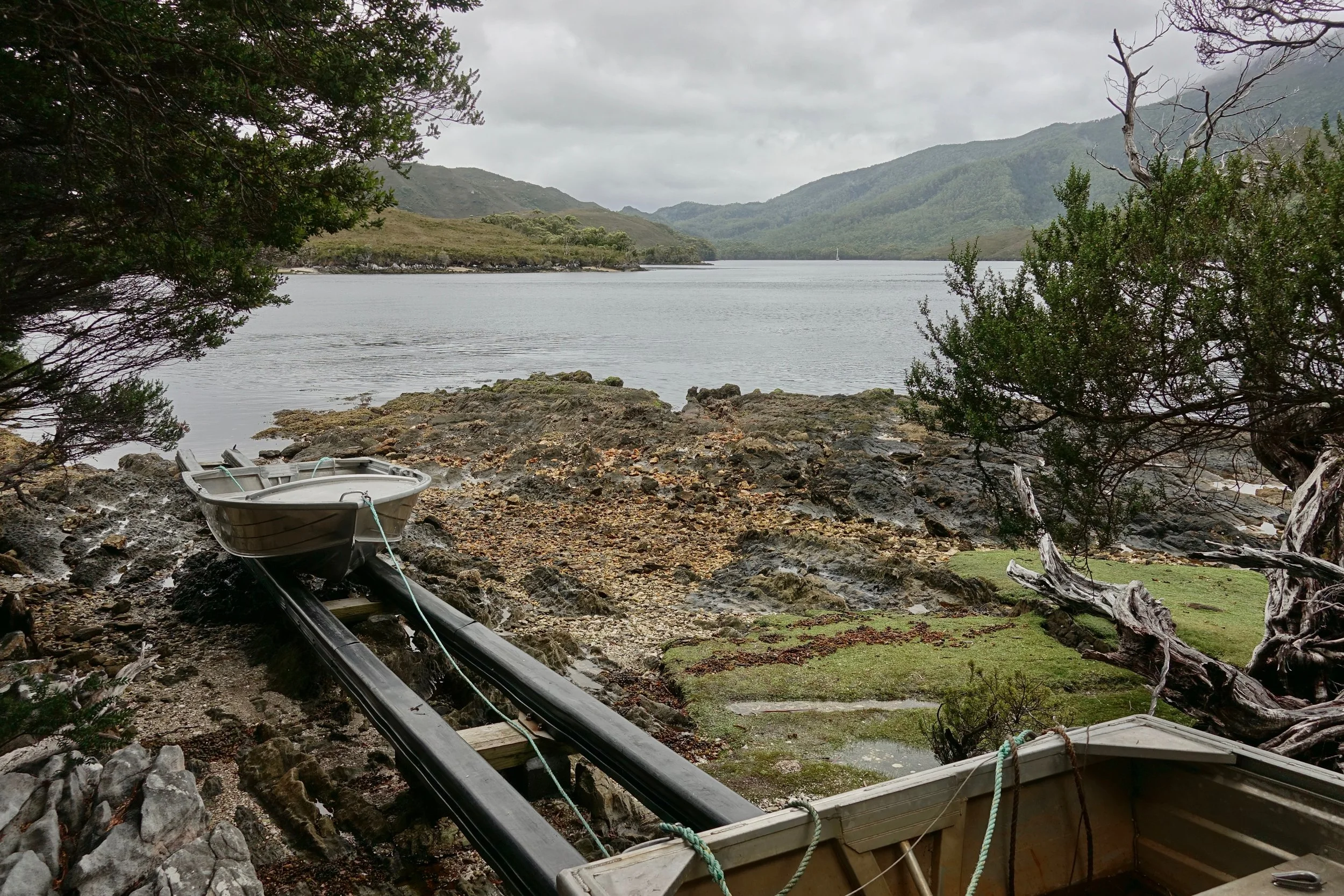
Rowboats for the Bathurst Narrows crossing on the Port Davey Track
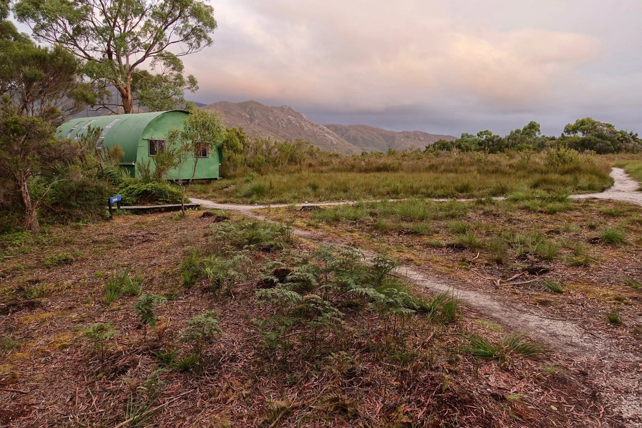
The following day I reached the empty huts in Melaleuca