South Africa
Drakensberg Mountains
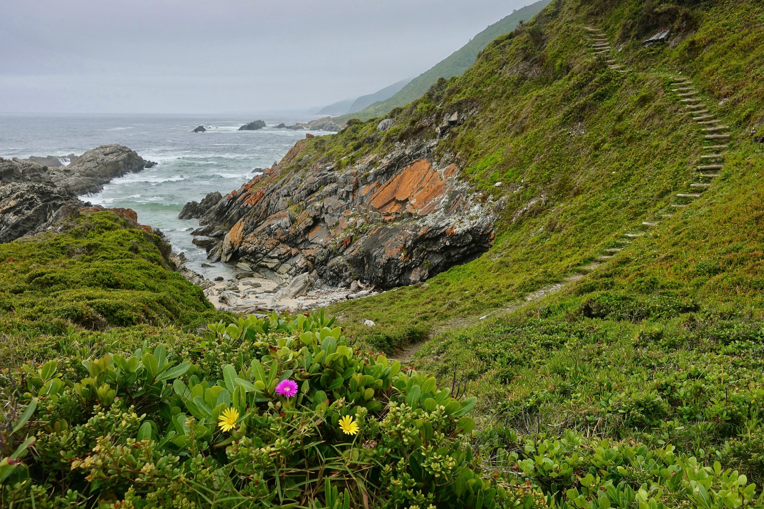
Tsitsikamma Coast
Harkerville Coast
Drakensberg Mountains
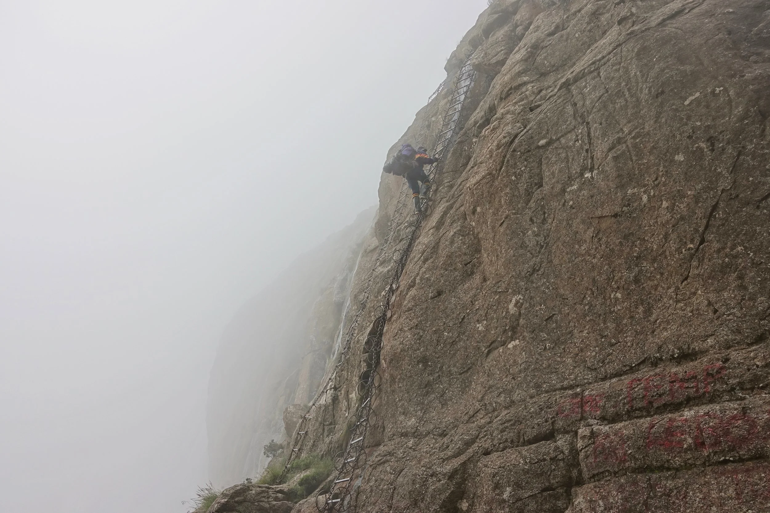
The chain ladders that lead to the top of the escarpment on a six day hike through the Northern Drakensberg mountains in February
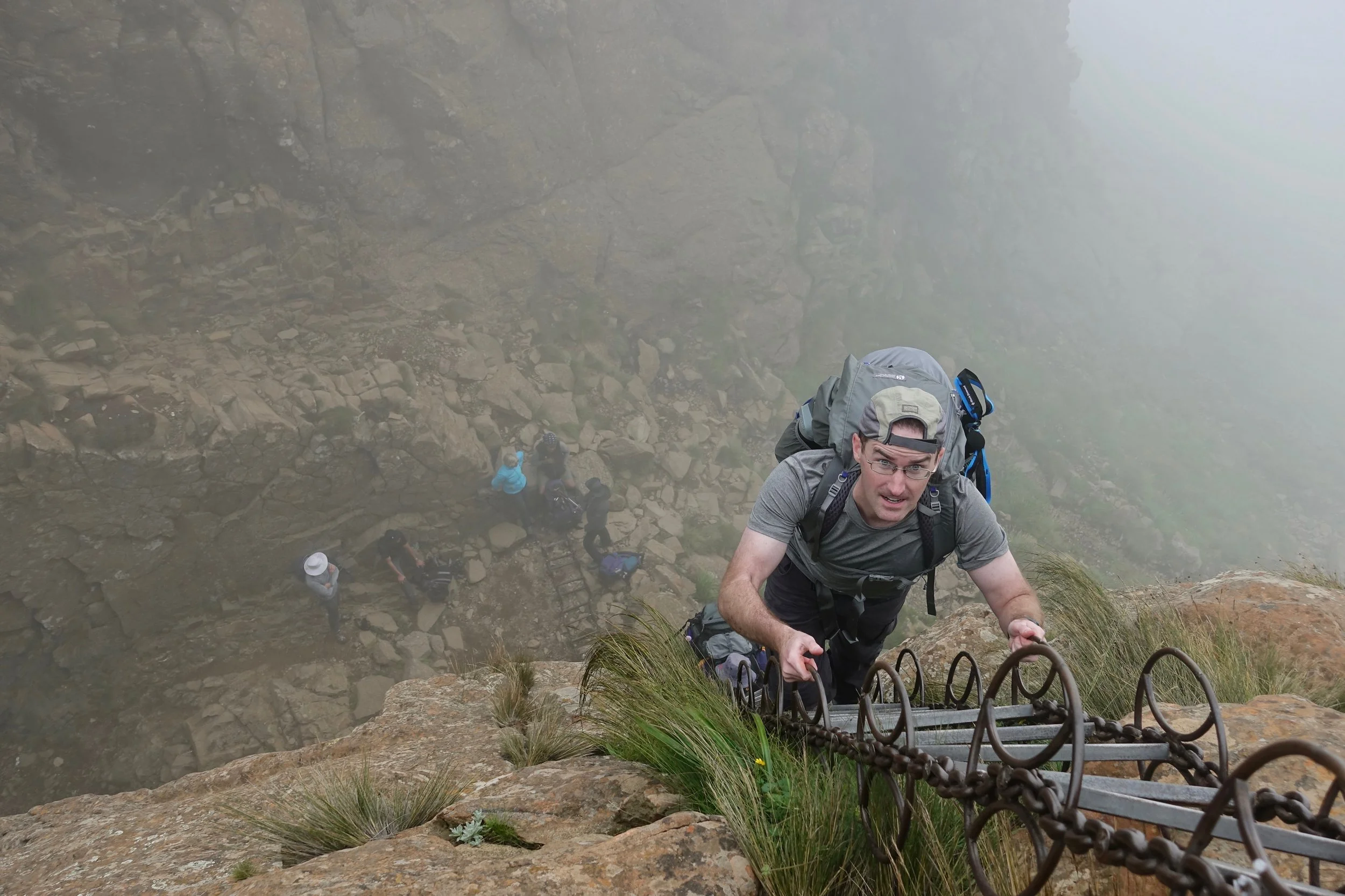
Pushing up with your legs is the key here, pulling with your arms takes the ladder off the wall
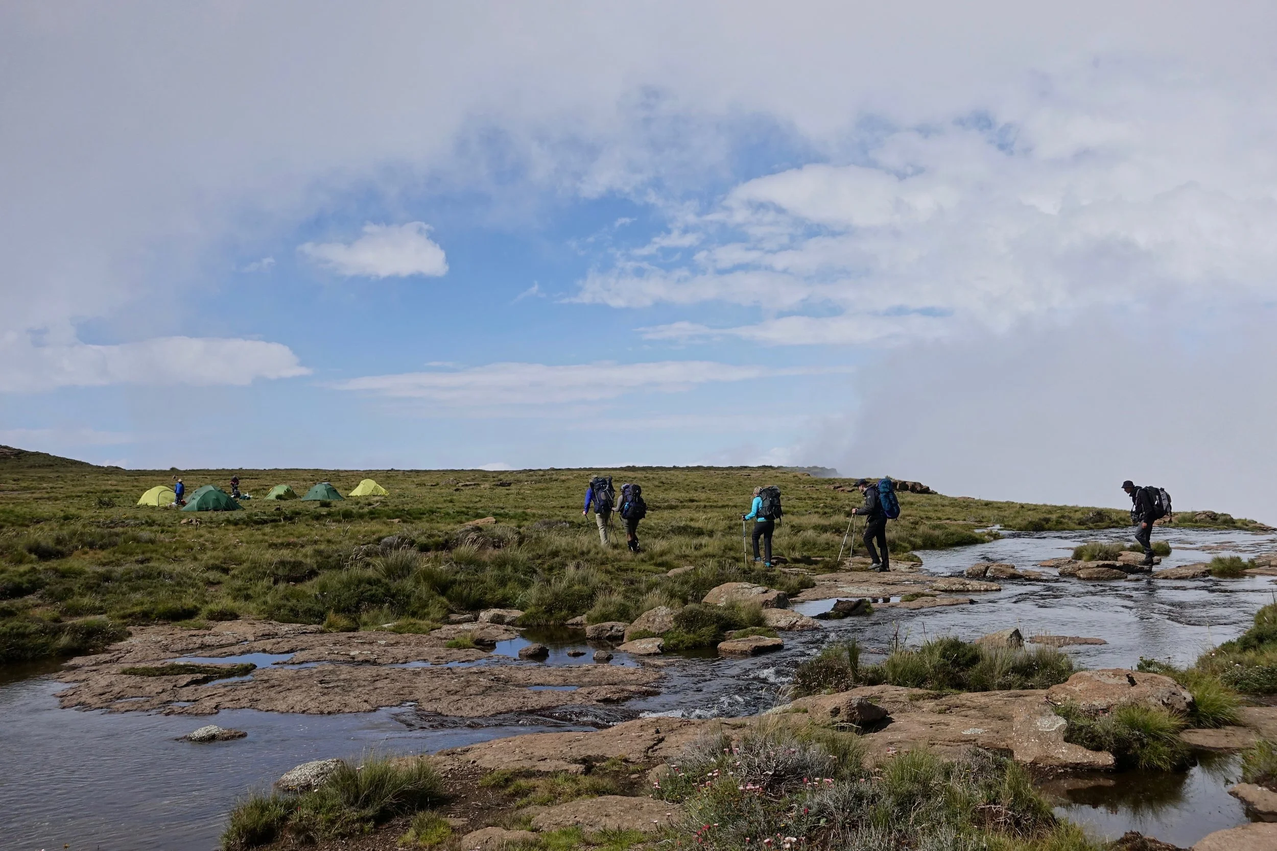
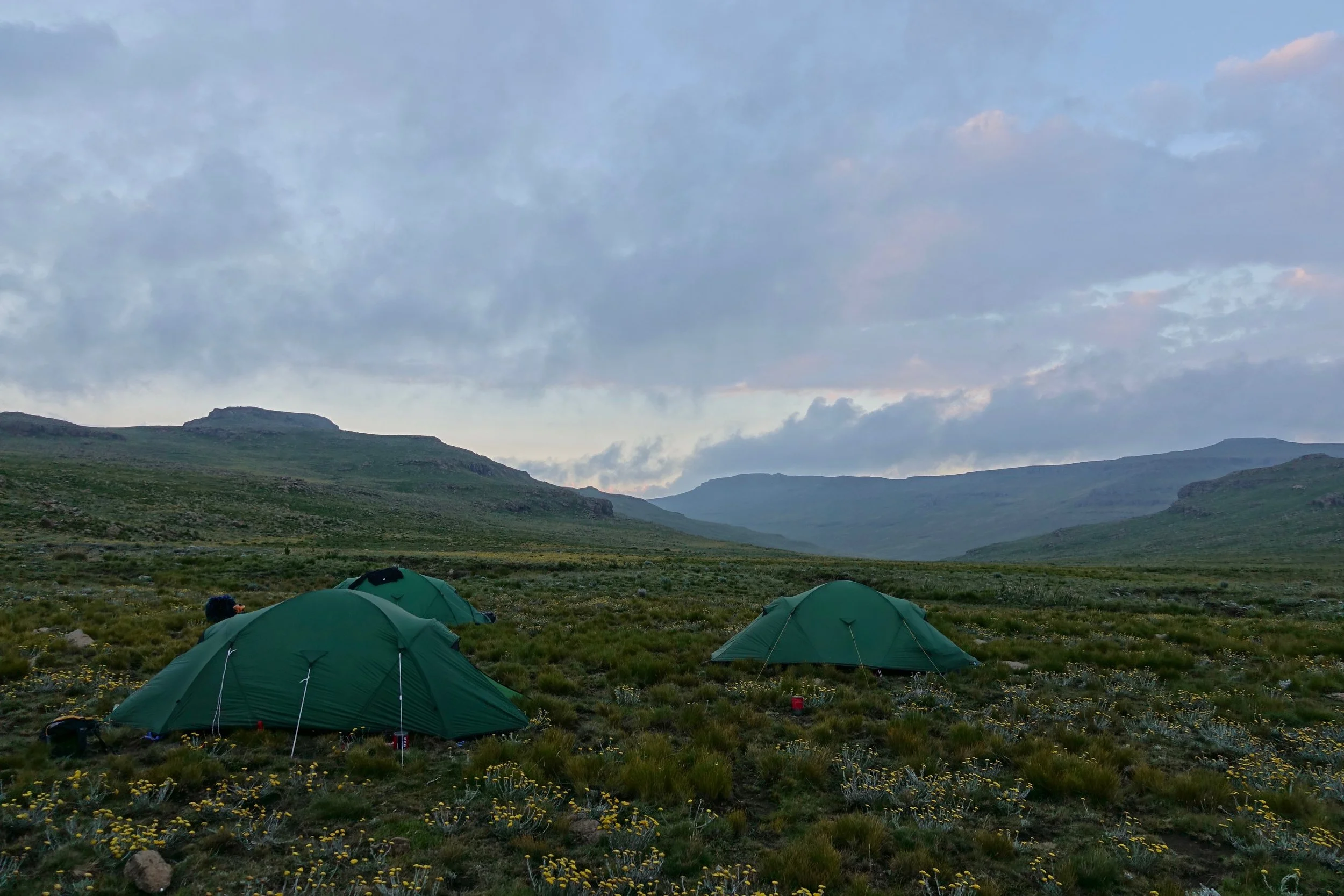
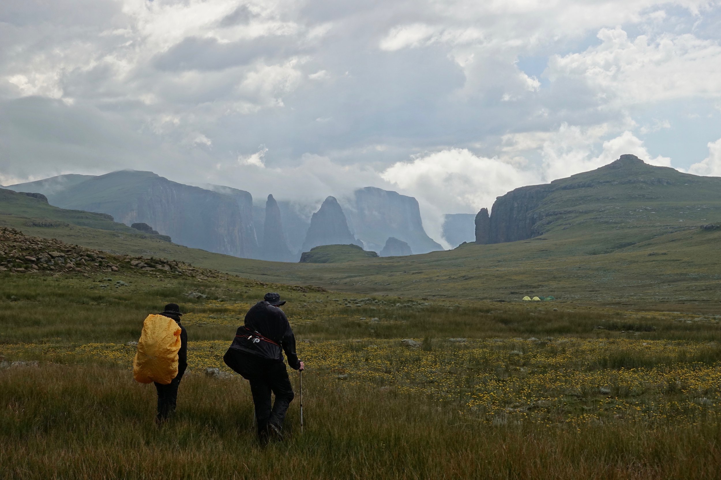
Arriving at our first camp below Sentinel Peak
Theft is still possible in the Drakensberg depending on who you ask (2017). I wanted the safety of the group and went with Alex Nail
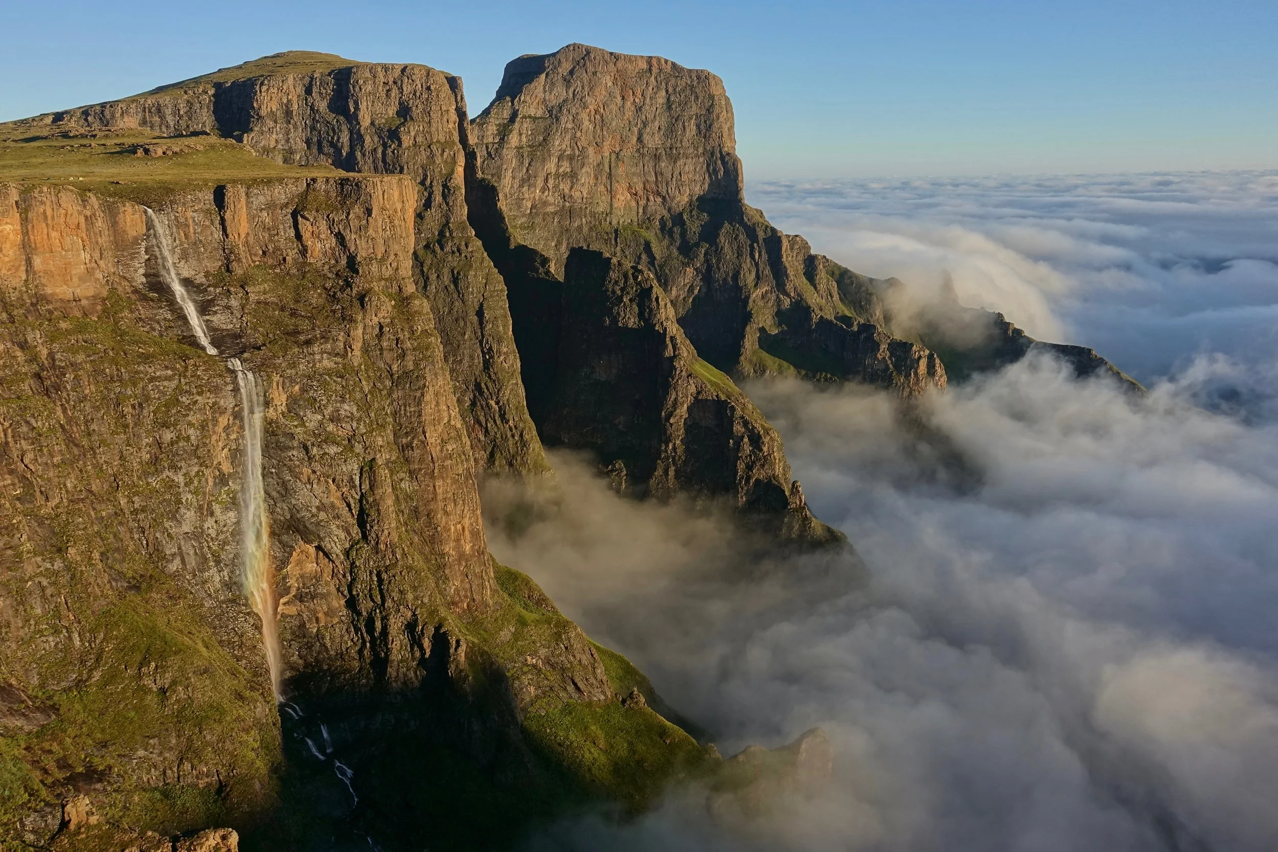
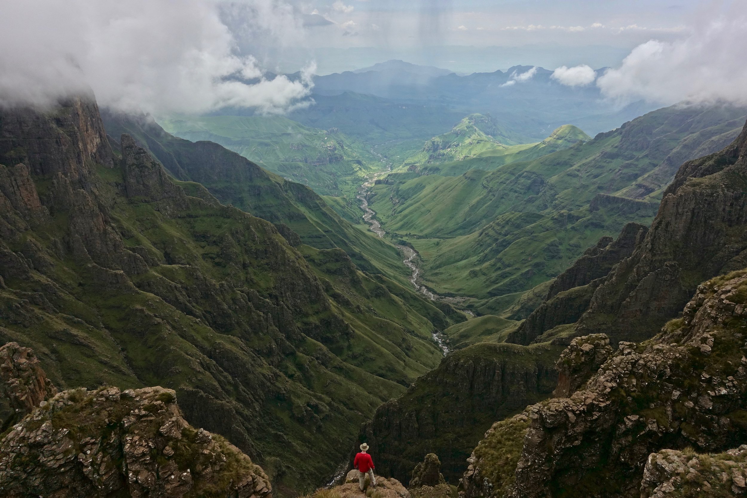
Tugela Falls, second highest waterfall in the world (3,000ft+)
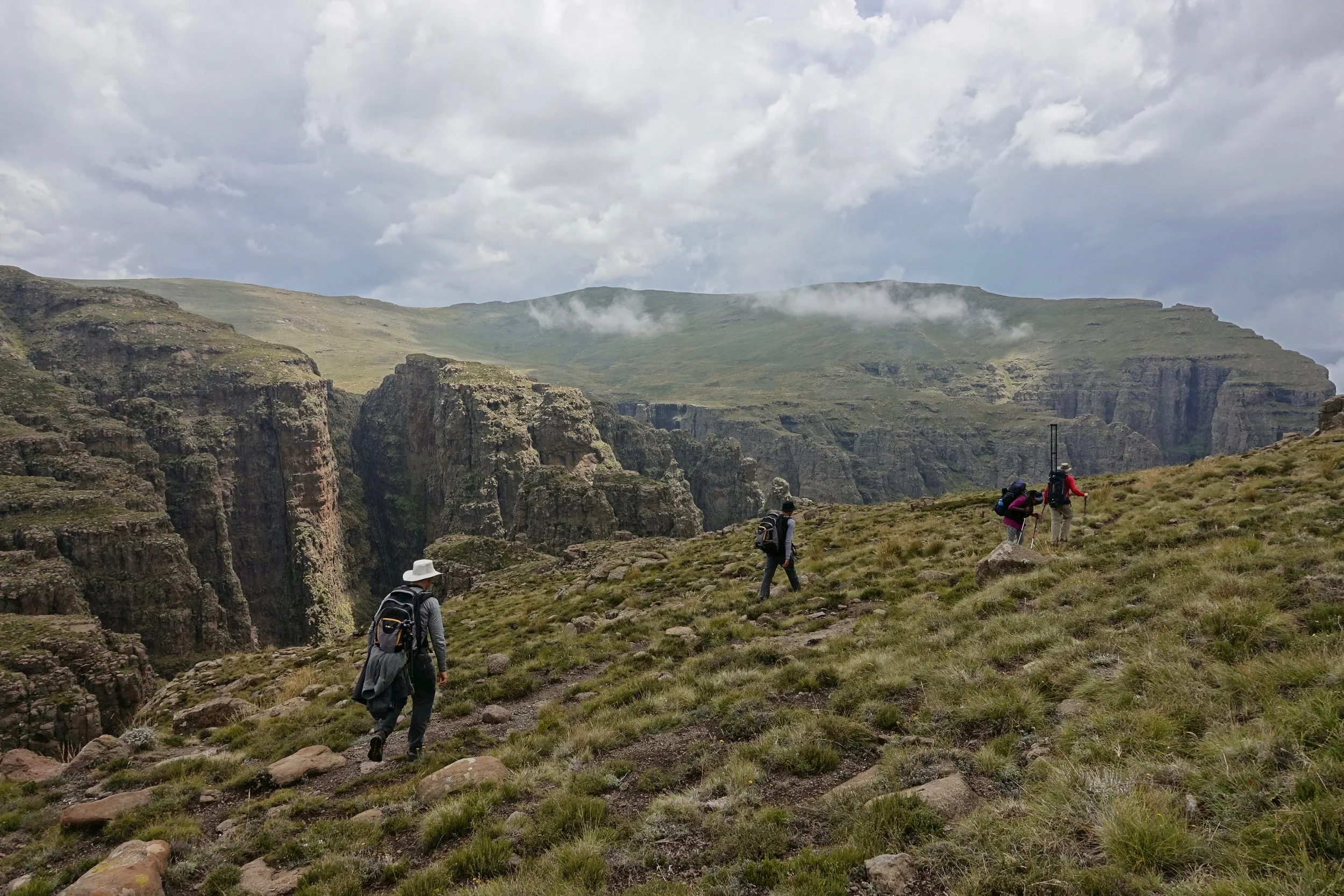
We had short distances to cover during the day, usually through open fields without a trail
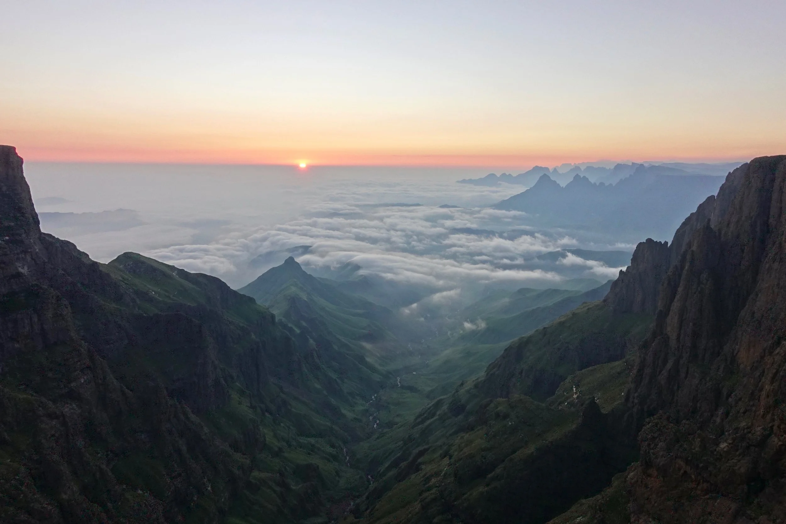
We would wake up early daily to see the sunrise near our campsites like this one at Icidi Pass
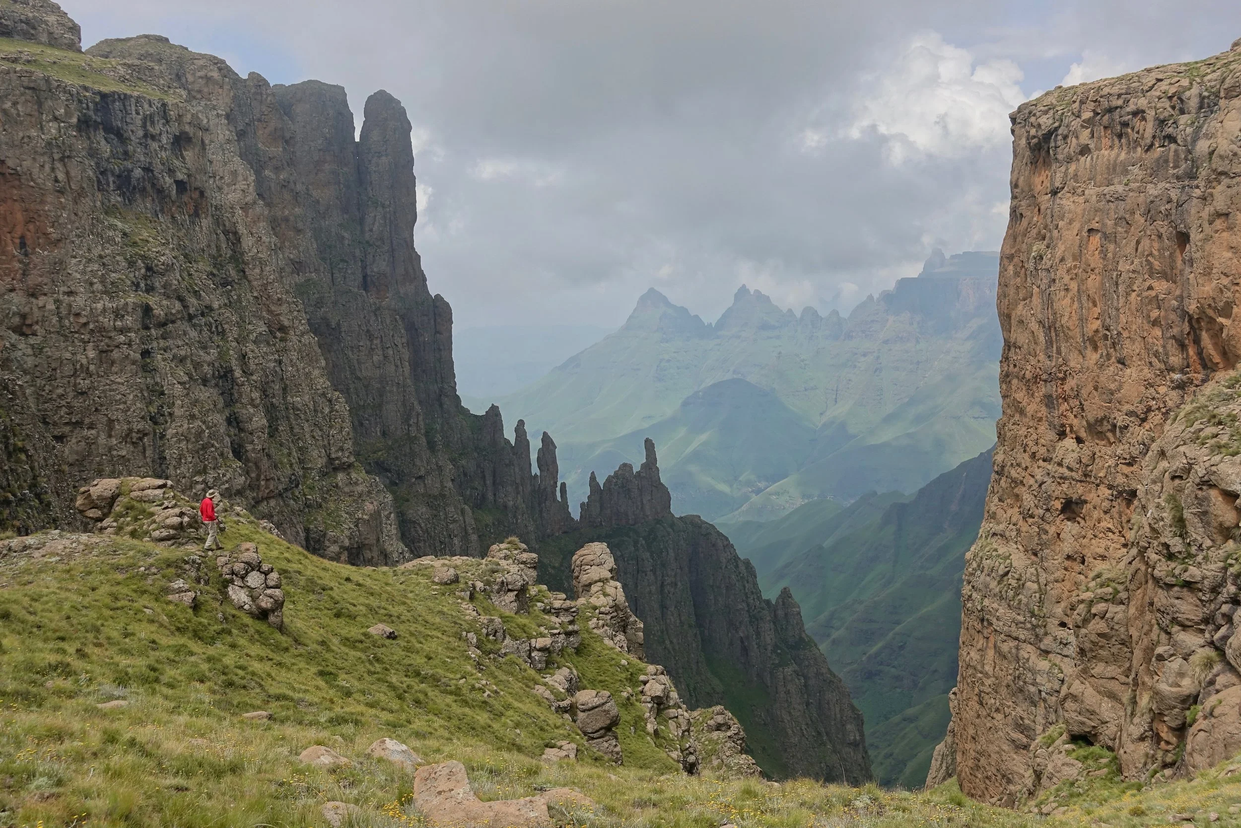
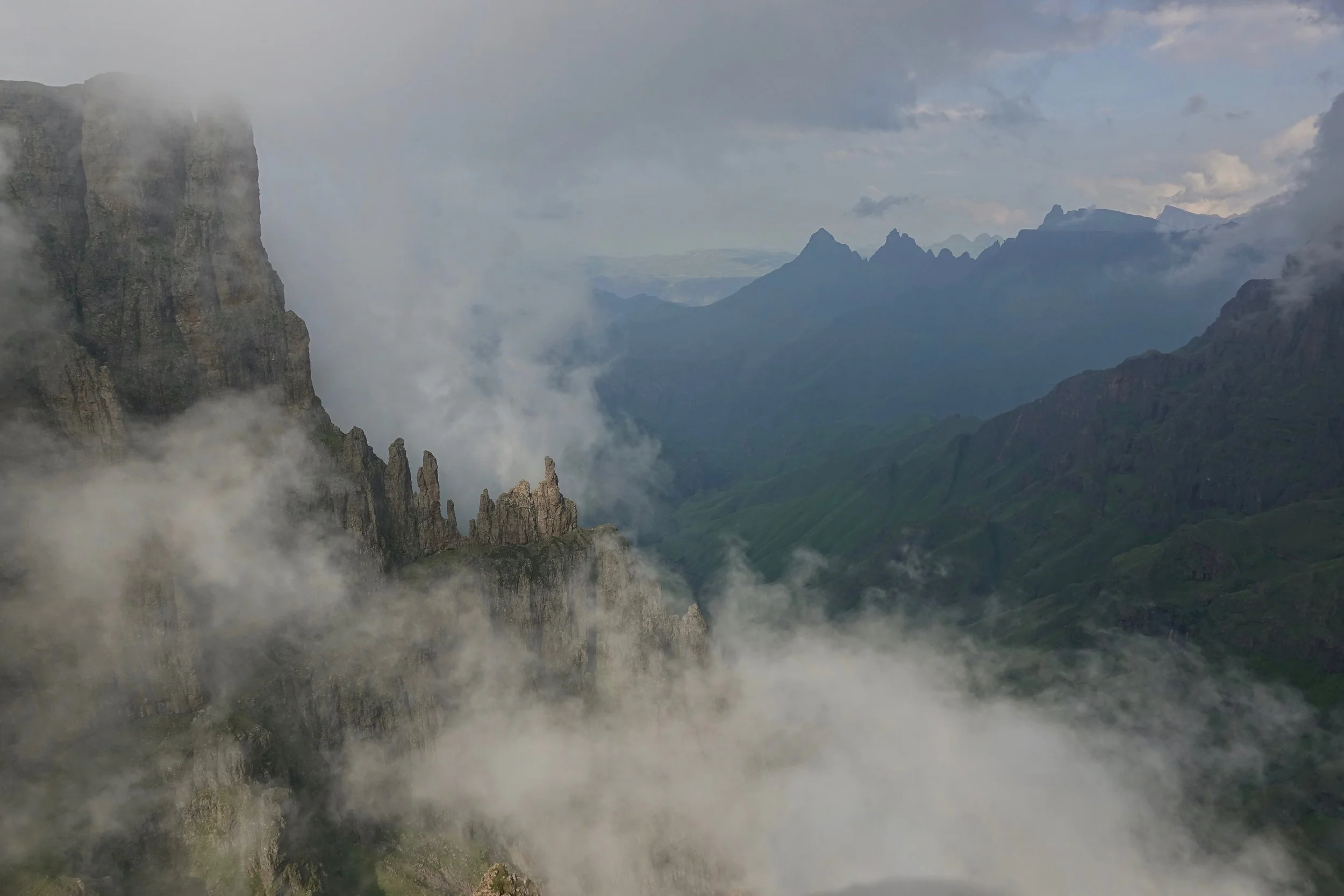
On the third day we reached Fangs Pass, one of highlights of the trek
Madonna and her worshipers
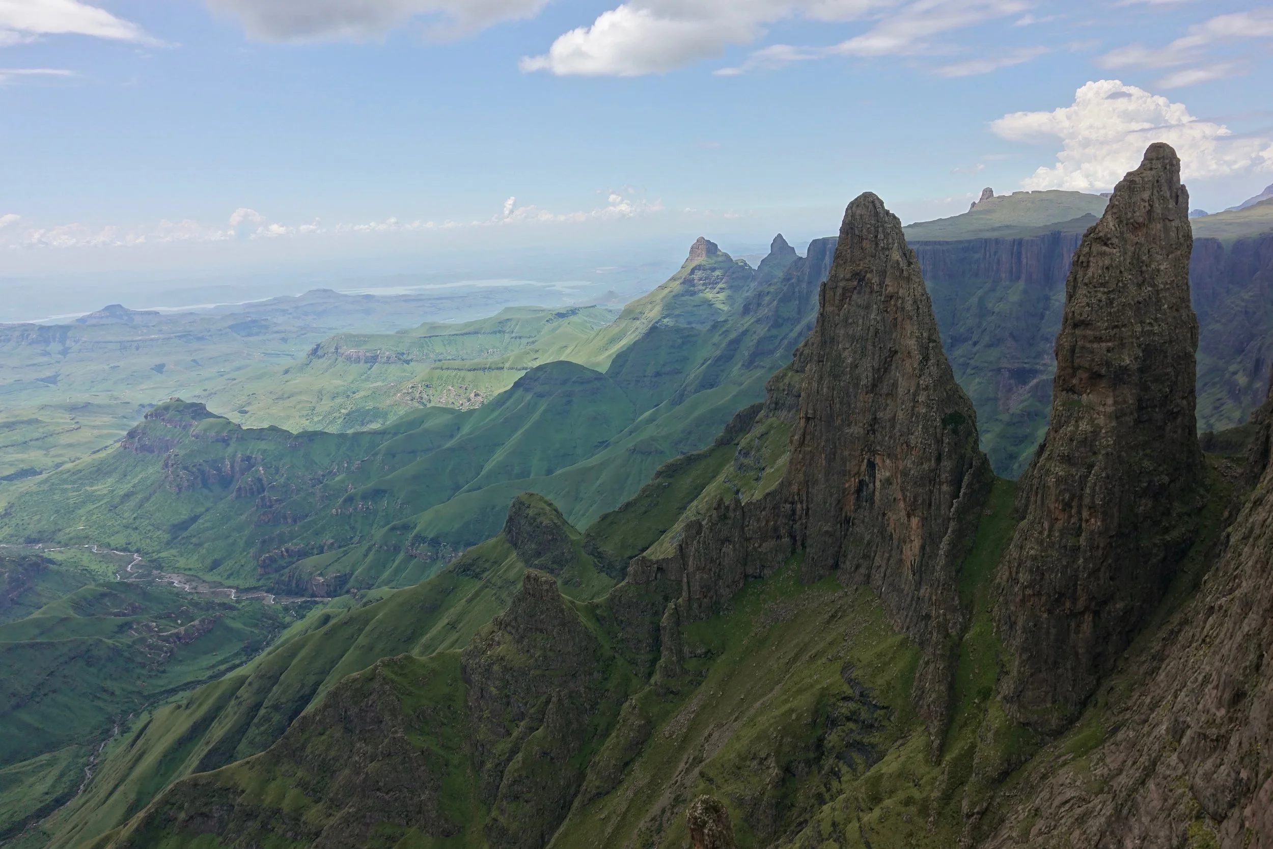
Mweni Pinnacles
Lightning is probably the most dangerous aspect of the hike as the venomous snakes seen at lower elevations do not live on the top of the escarpment
The Mweni Cutback
Approaching the final camp near Rockeries Pass
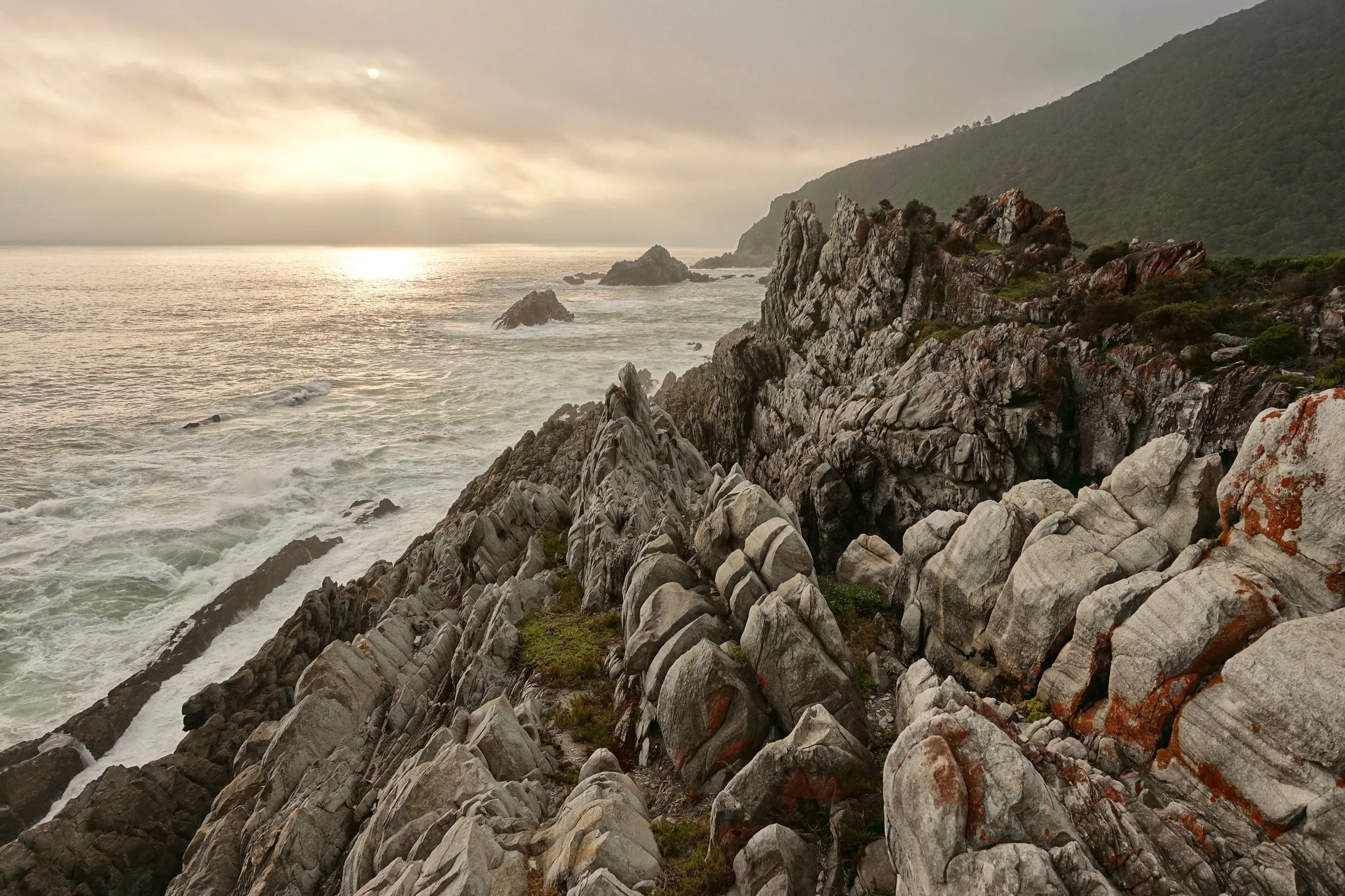
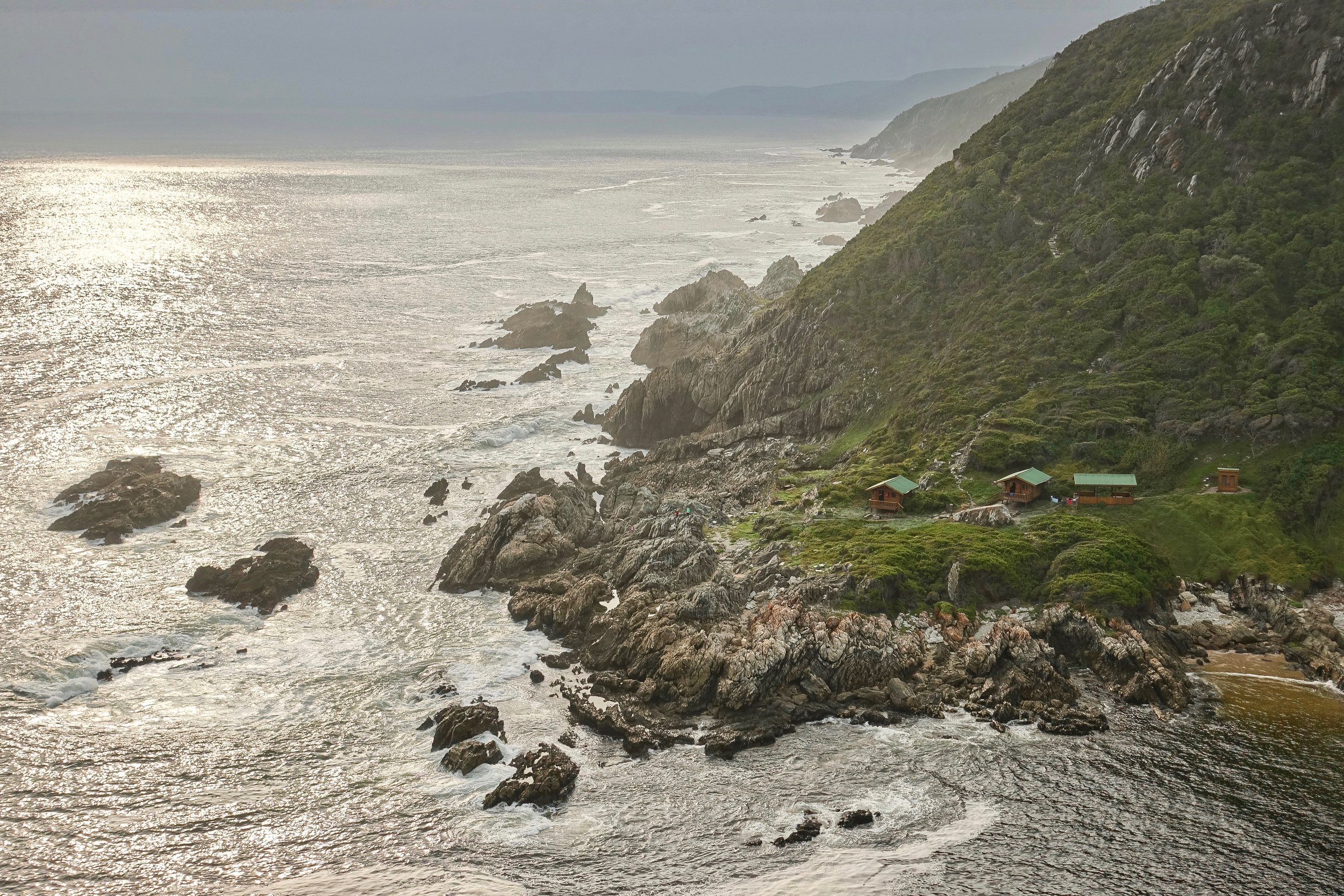
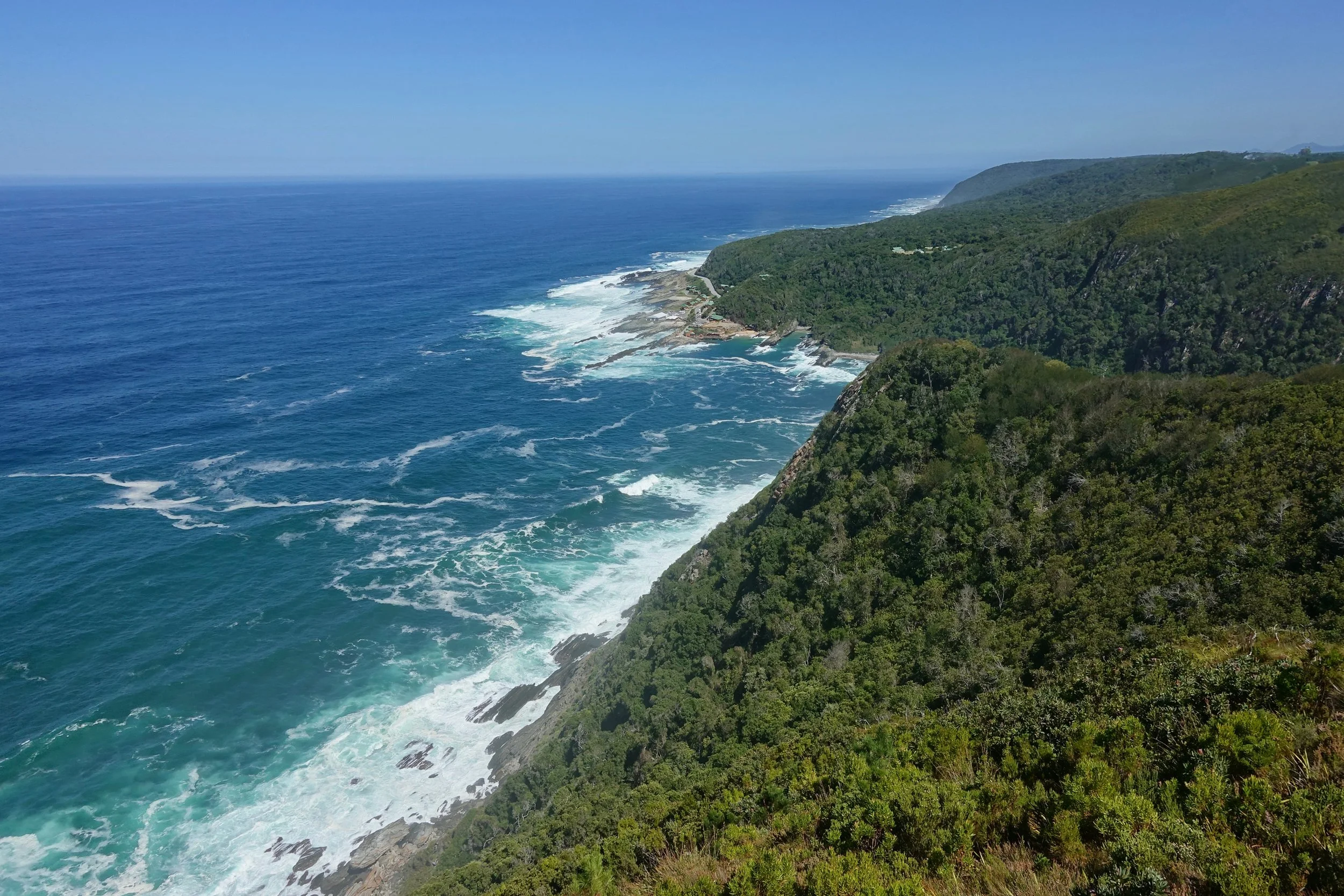
Tsitsikamma Coast
Otter Trail
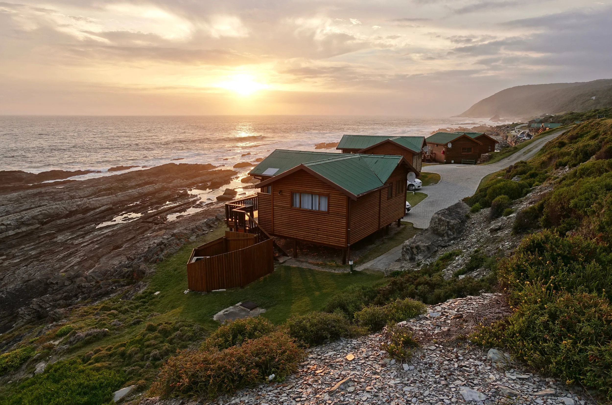
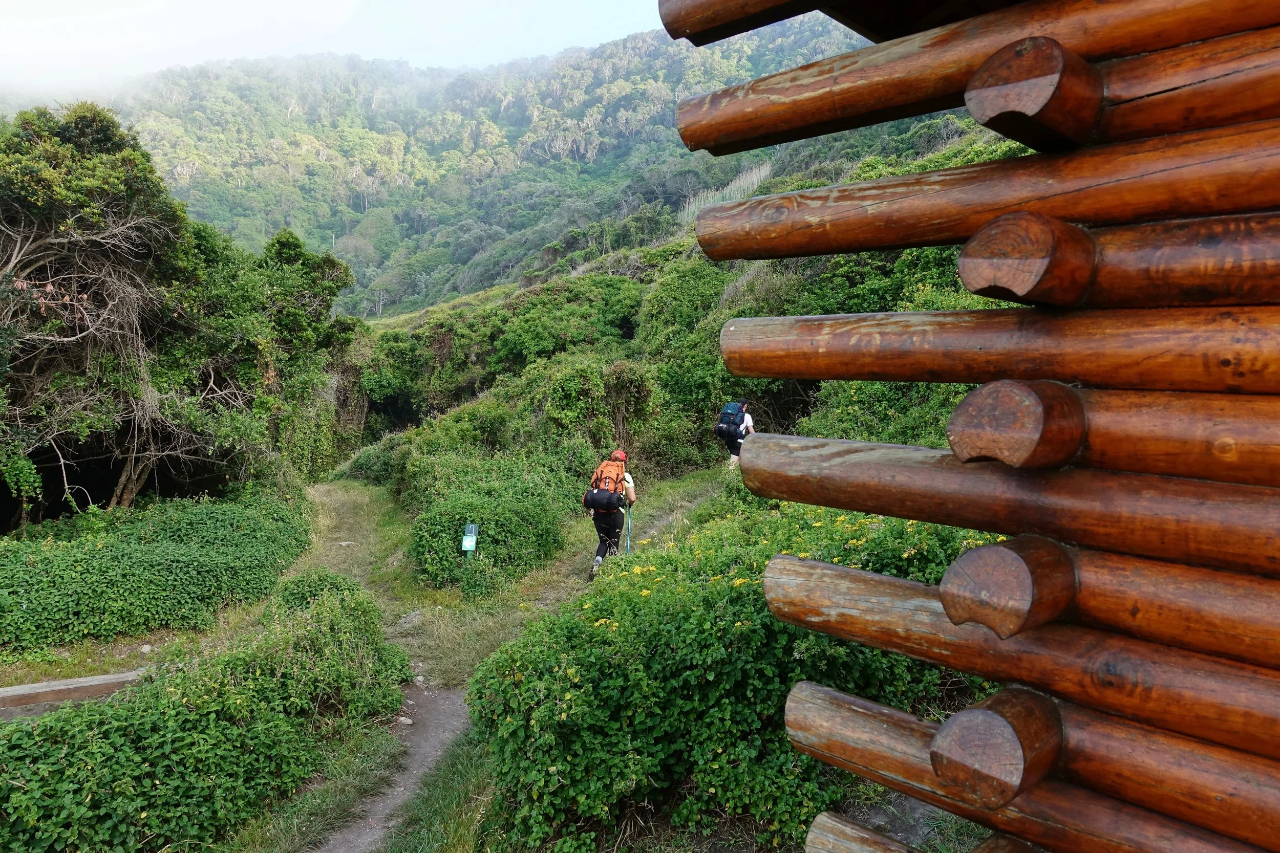
The Otter Trail starts at Storms River Camp and ends in Nature's Valley (5 days, 27 miles)
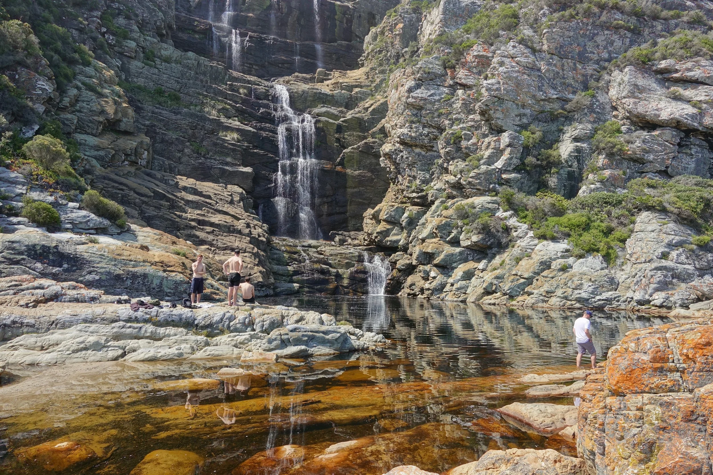
I took it slow the first day with little ground to cover to reach the first hut stopping at the waterfall
There are four huts on the Otter Trail with small distances to walk each day
Sunset along the coast near the Ngubu Huts
Gerrith and Cindy were early risers, I would go back to bed once they left
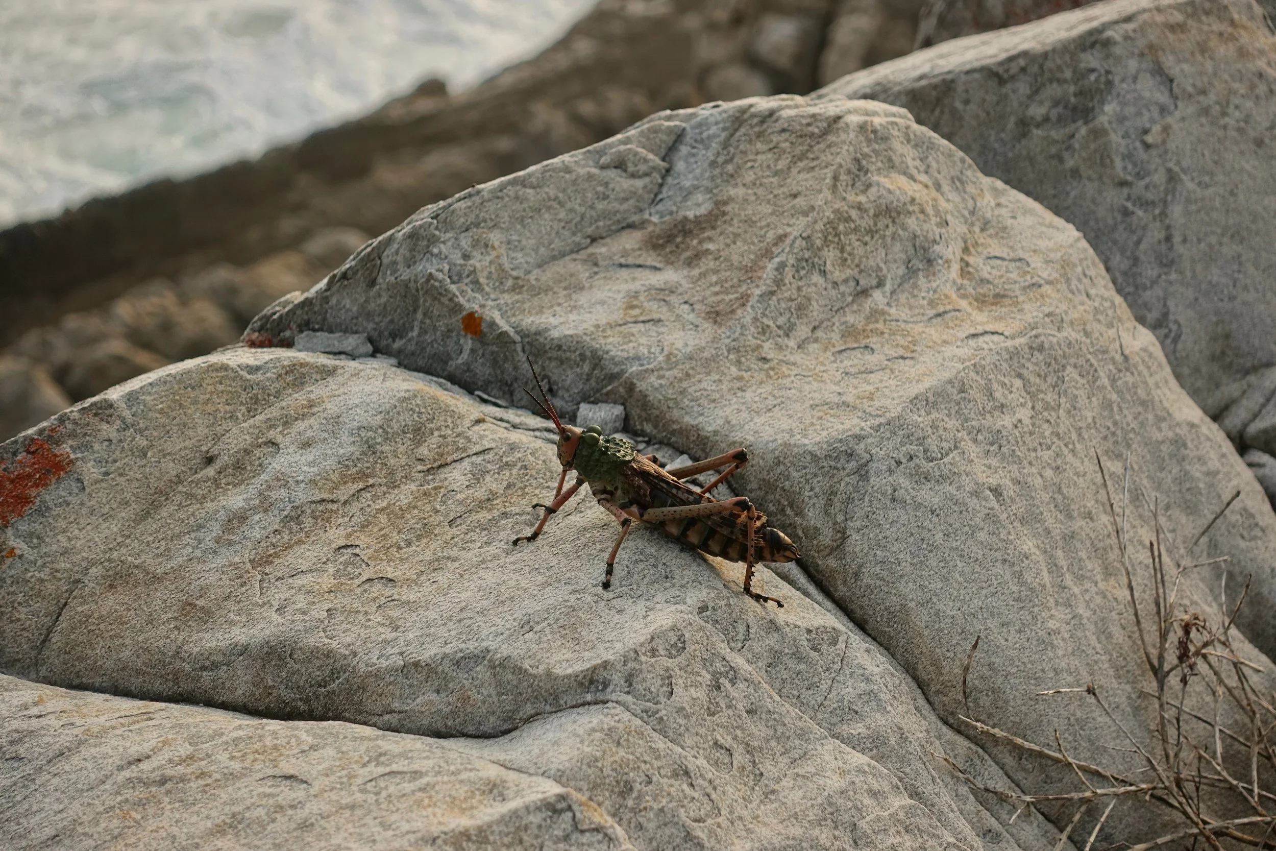
Large insects
Smoky sunset near the Geelhoutbos
Genets lined the trees around the campfire at Scott Huts
Tannin gives the rivers a brown color. Not thought to be harmful, although some of the major rivers are polluted from towns upstream. They gave us a list of rivers to avoid at check-in (2018)
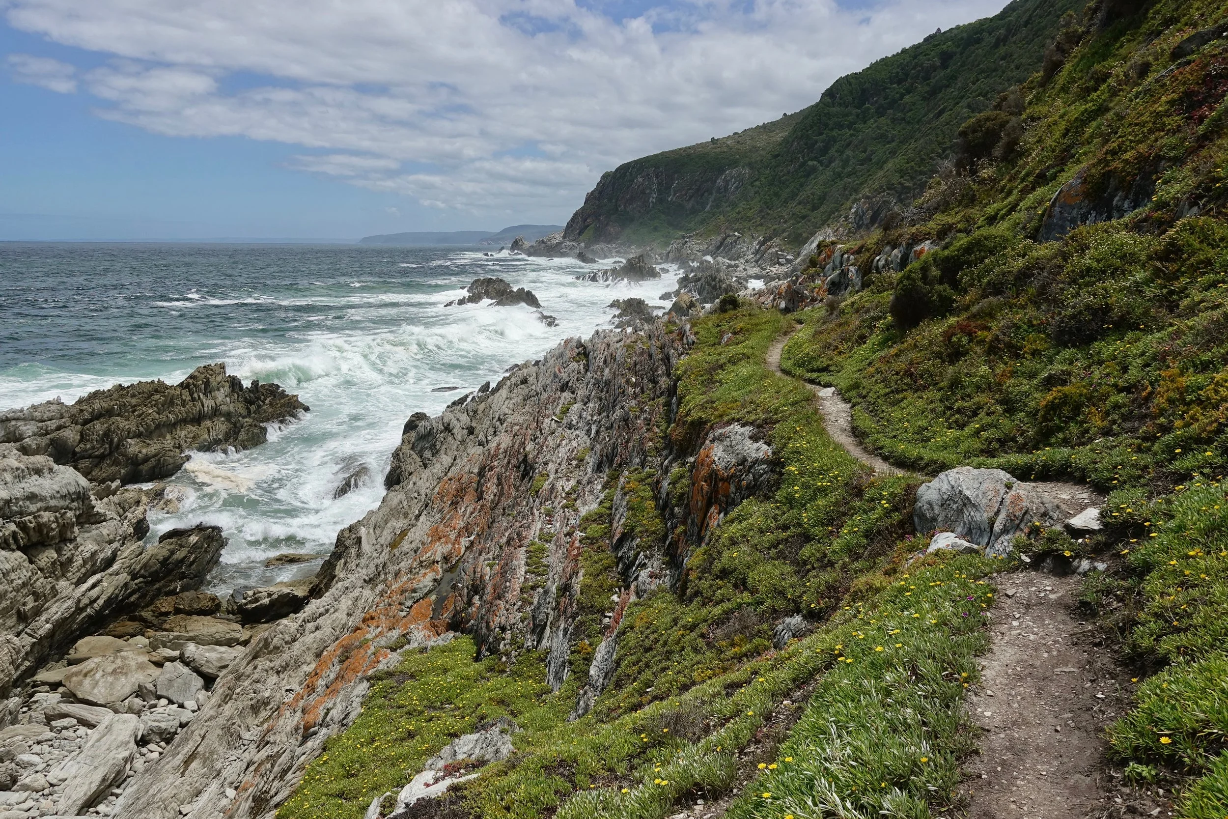
Day three was the most scenic, my favorite stretch of the trail
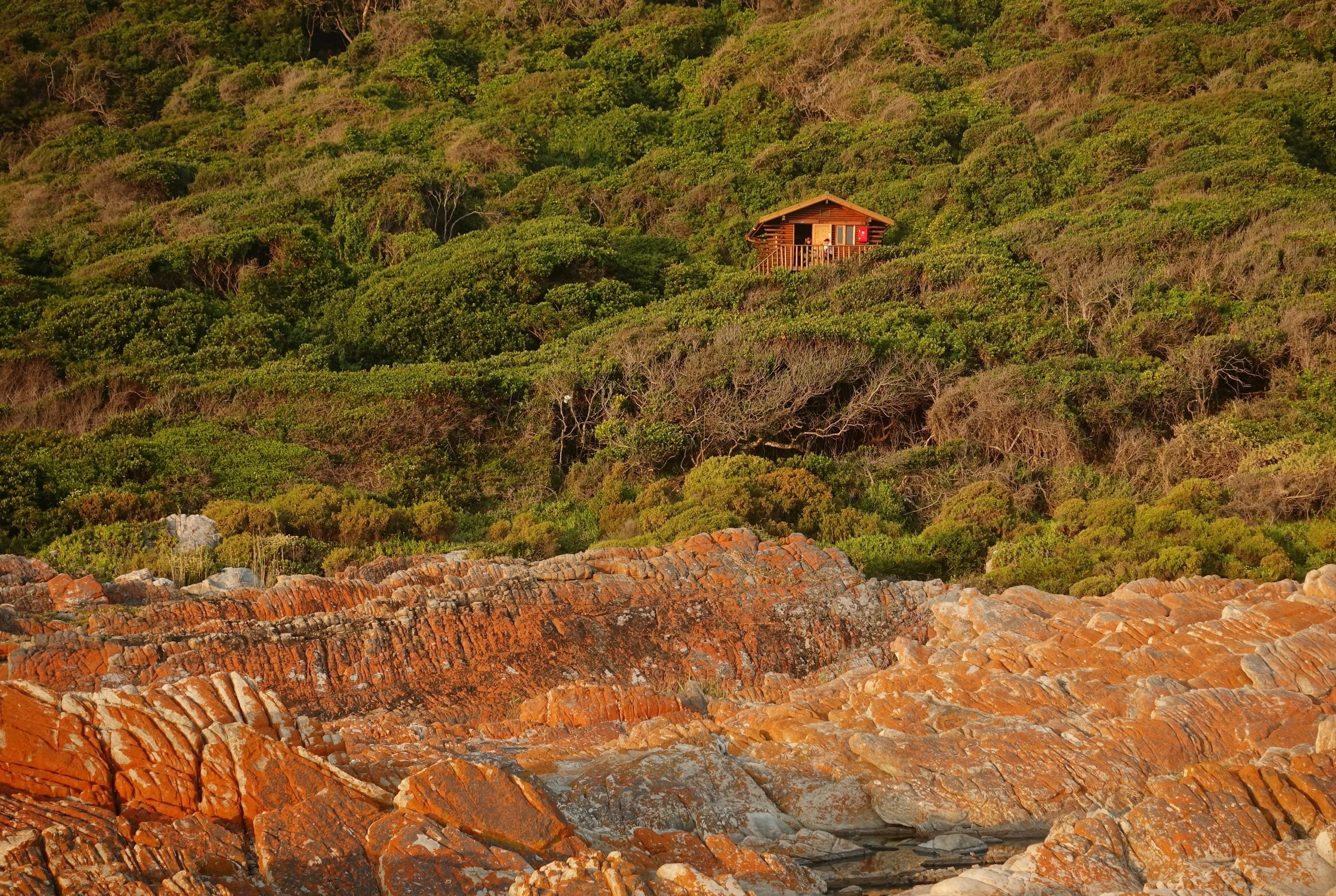
Oakhurst huts from across the Lottering River
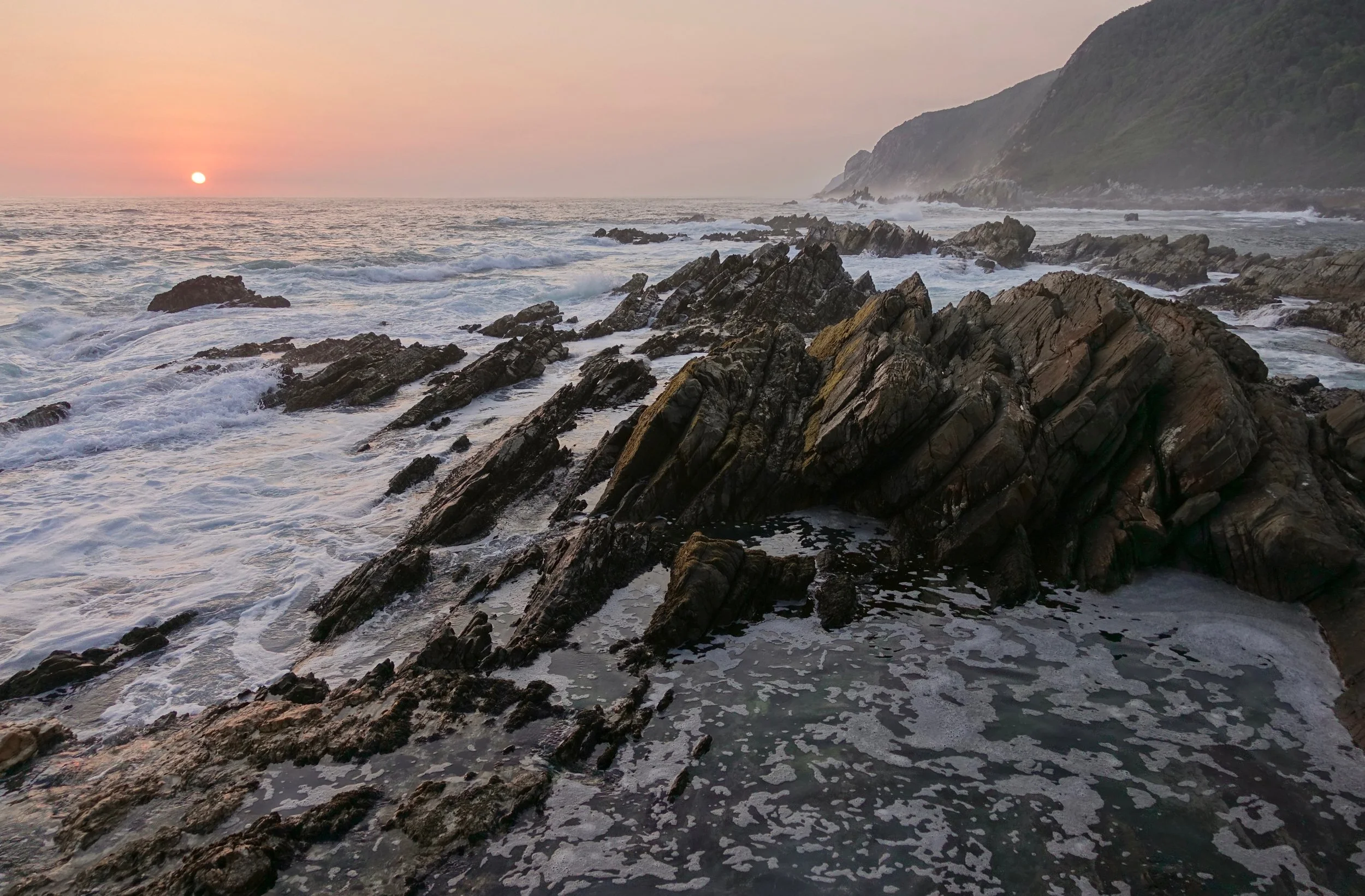
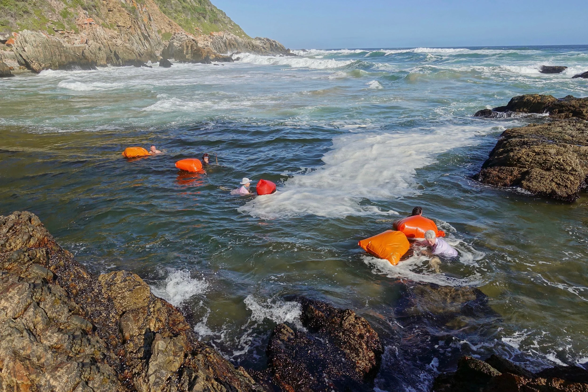
The sun returned on day four, which is planned around a low tide crossing of the Bloukrans River
Waiting for the tide to go down..
The large group had done the Otter six times and had never seen the river more than knee/ankle deep. This time was different due to a neap tide
The sandbar goes all the way across when taking route C, the easiest route in high water with no swimming involved. I took route C to route D. Gerrith and Cindy followed my lead taking route C then swimming to route B. I wanted to avoid route A as the current was strong, but the others had no choice since they were not comfortable climbing
The group of six were the last to cross. The leader here pulling them into the "A" gulley and out of the ocean current
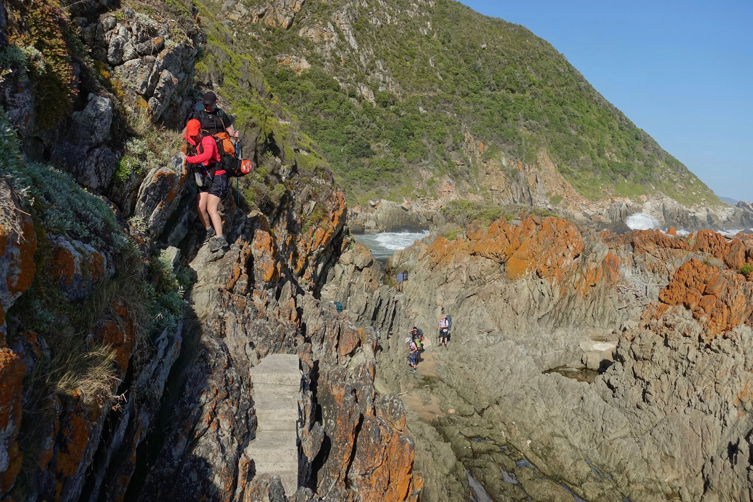
Climbing out of the gulley
The weather was perfect on the late evening walk to the final hut
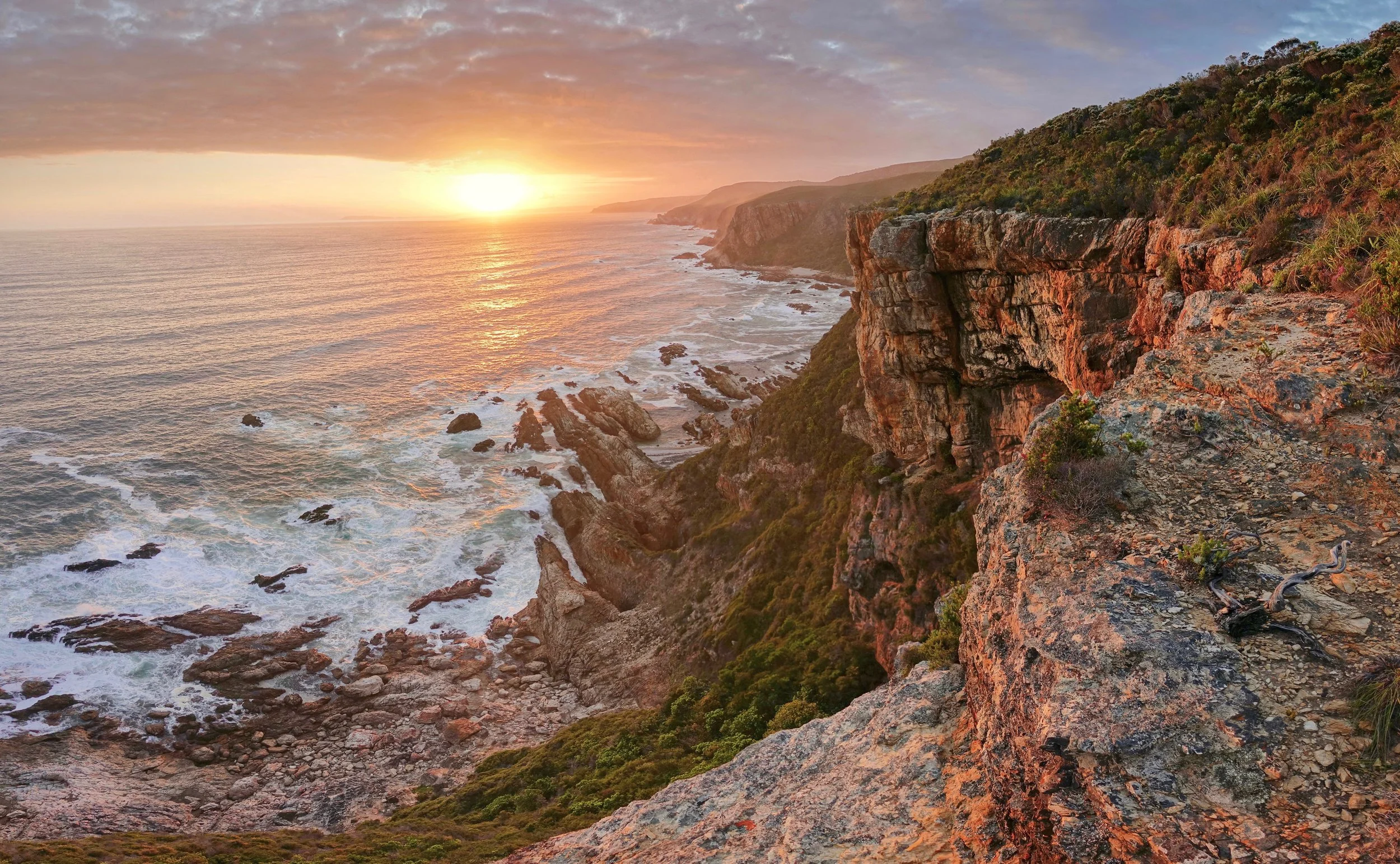
Sunset from the cliffs above the Andre Huts
Dolphin Trail

The Dolphin trail is the slackpacking route along the Tsitsikamma coast. It also starts at Storm’s River Camp like the Otter trail but goes east instead of west
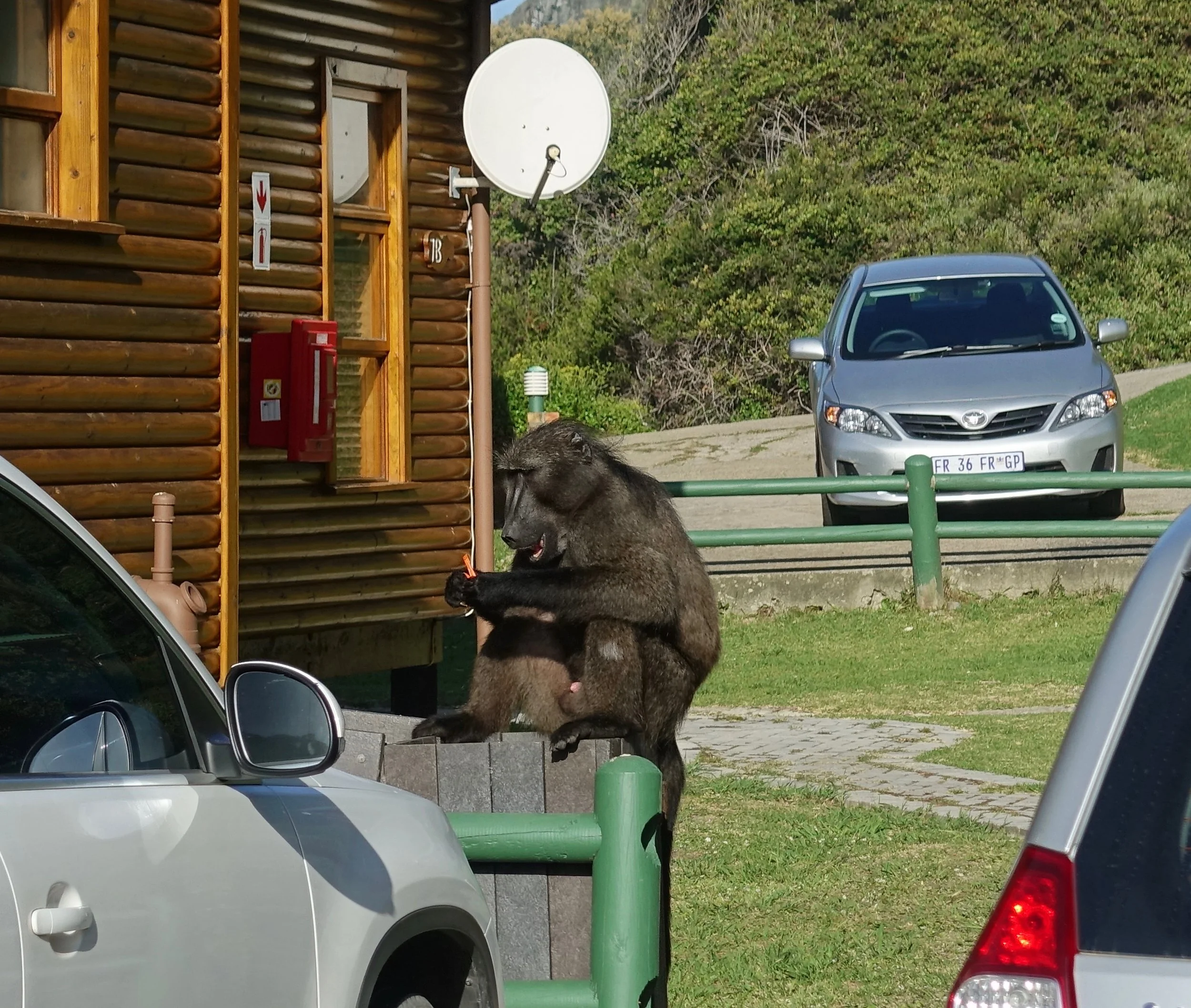
Baboons know their way around camp
The Dolphin Trail has two days of hiking and three nights at lodges, the first hiking day is mostly through the forest on high ground. We saw snakes, monkeys and more baboons
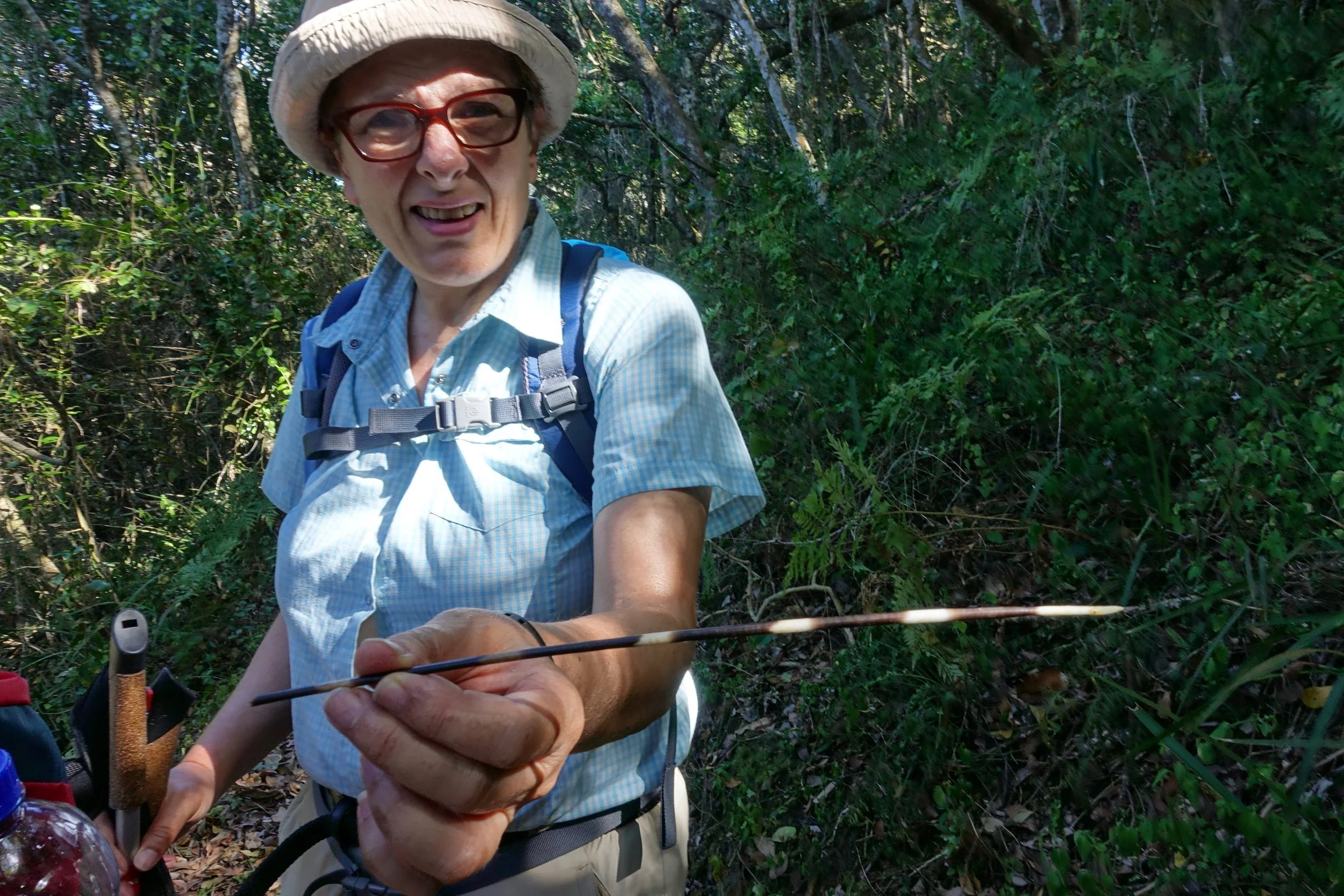
Ruth found a porcupine quill
The lodges would cook breakfast and dinner and have activities such as concrete golf
On the second day of hiking, the trail was along the coast
Our group with the guide in the lead
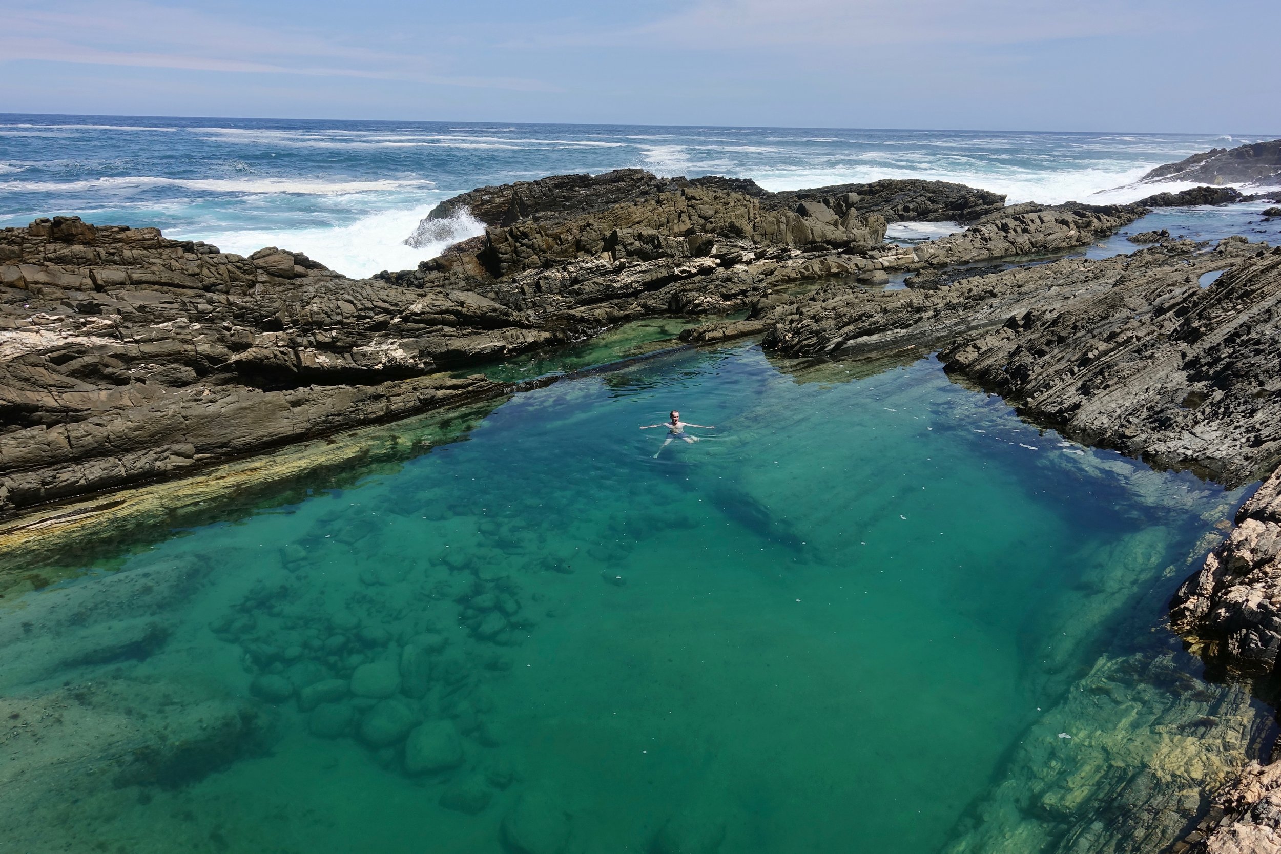
We found a perfect swimming hole. The Swiss girls were afraid of the ocean so I swam alone
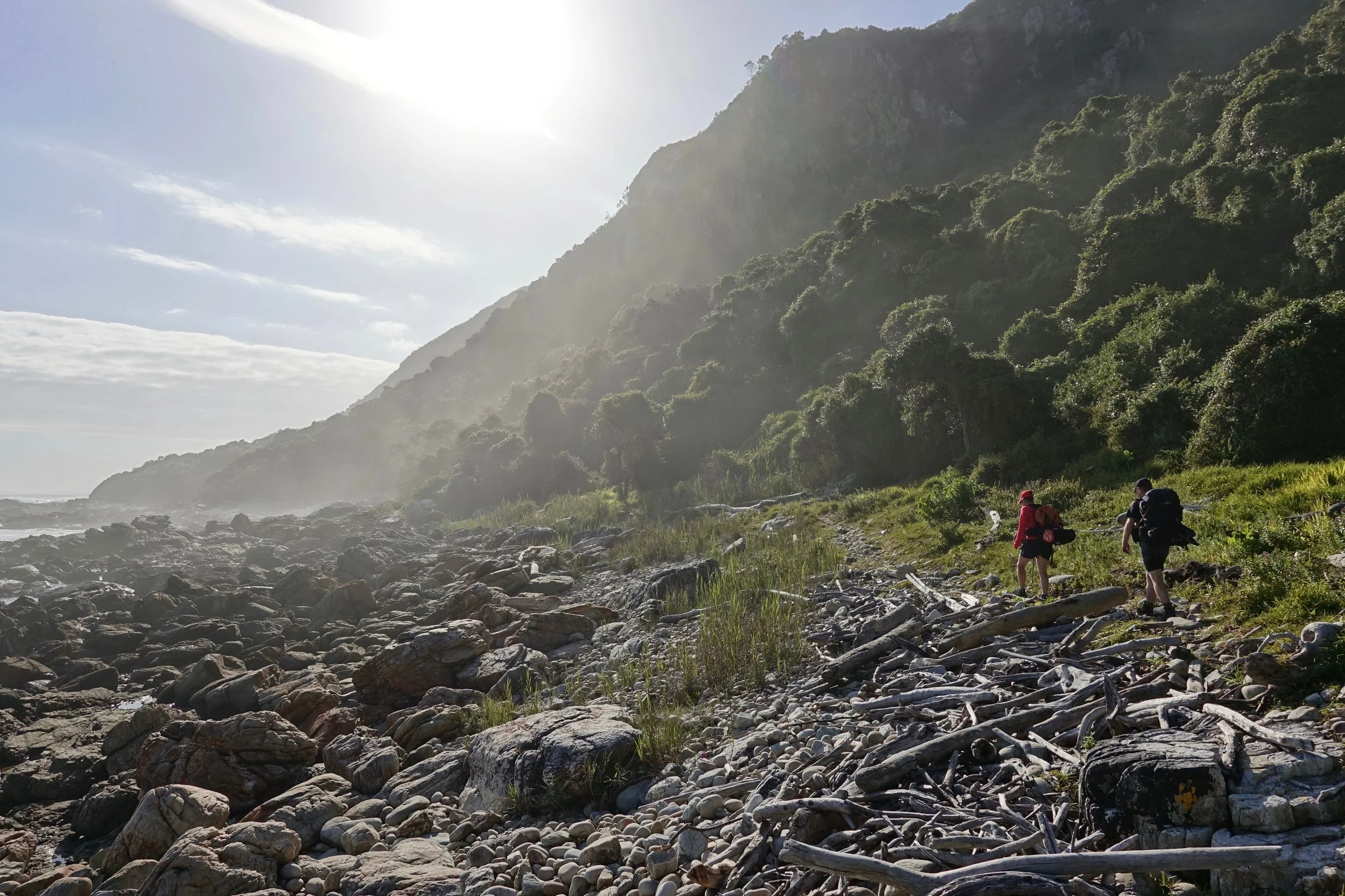
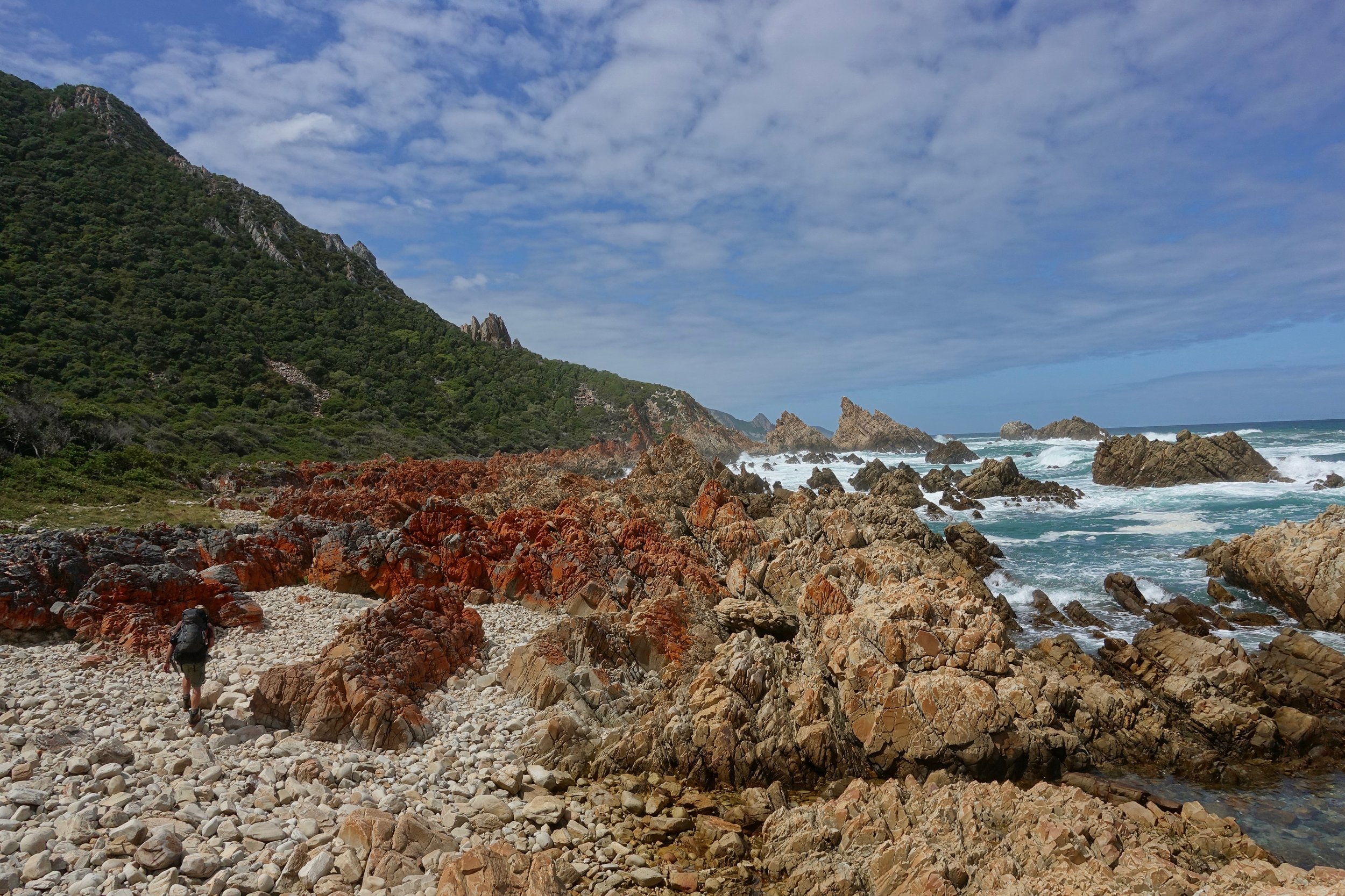
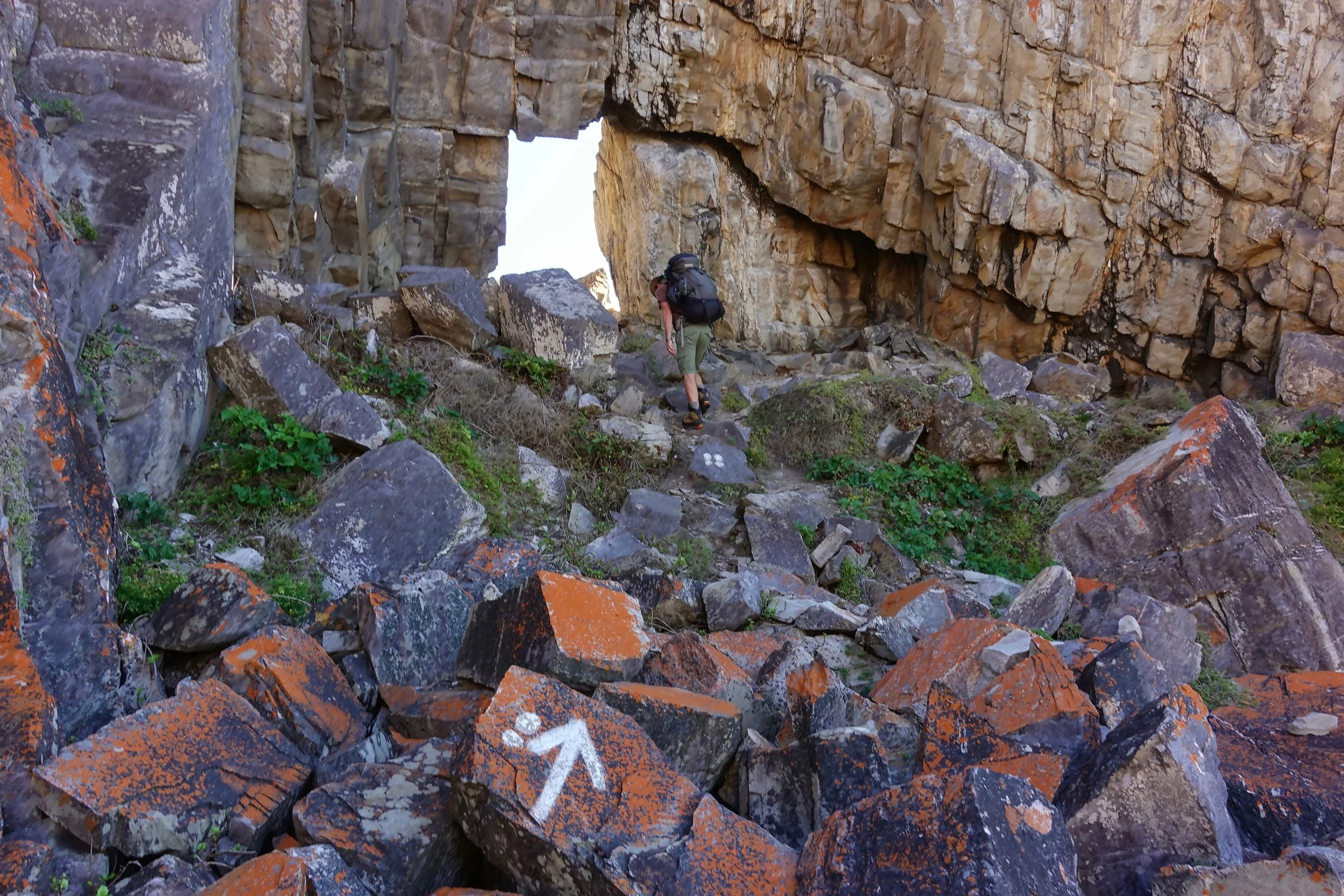
Harkerville Coast
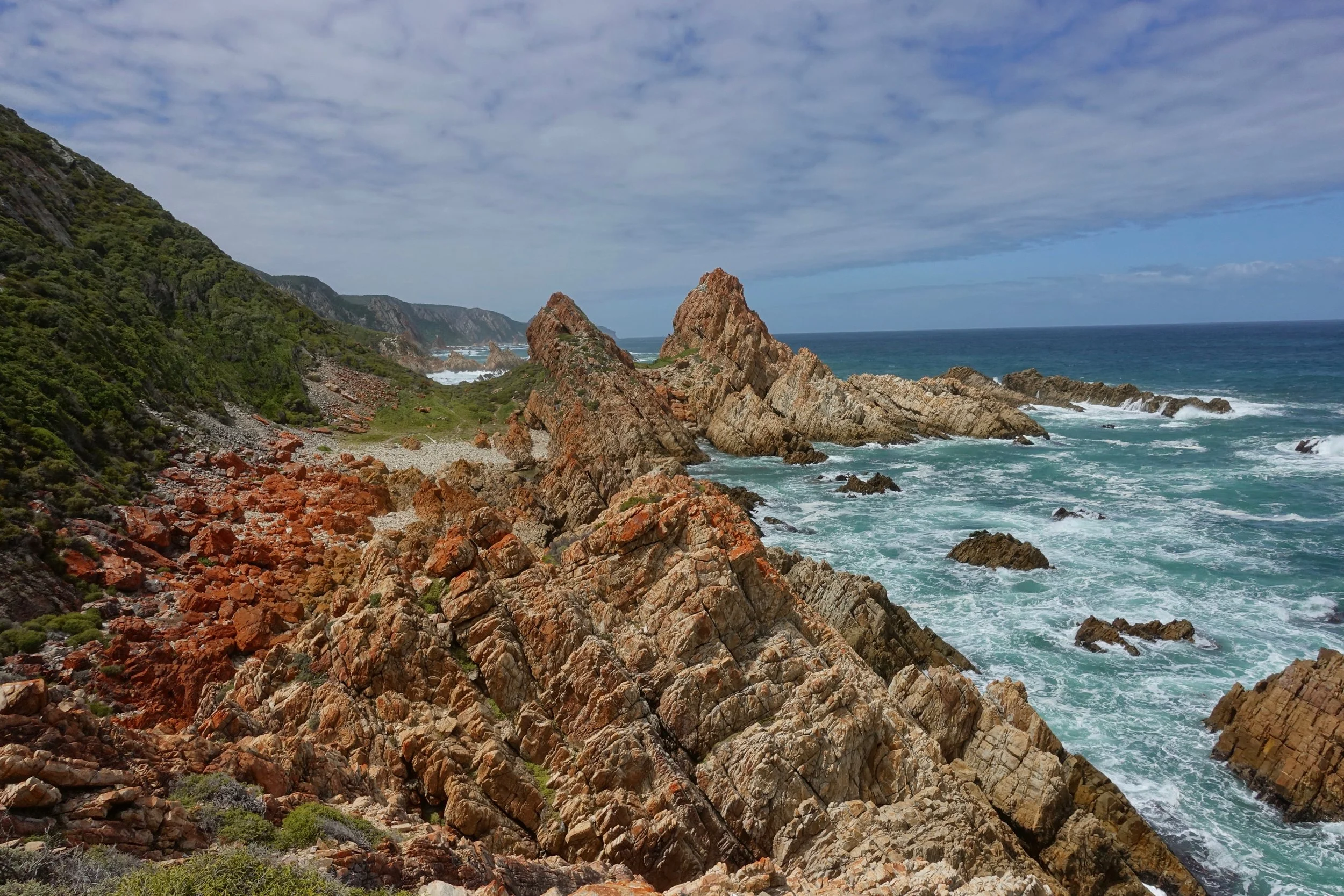
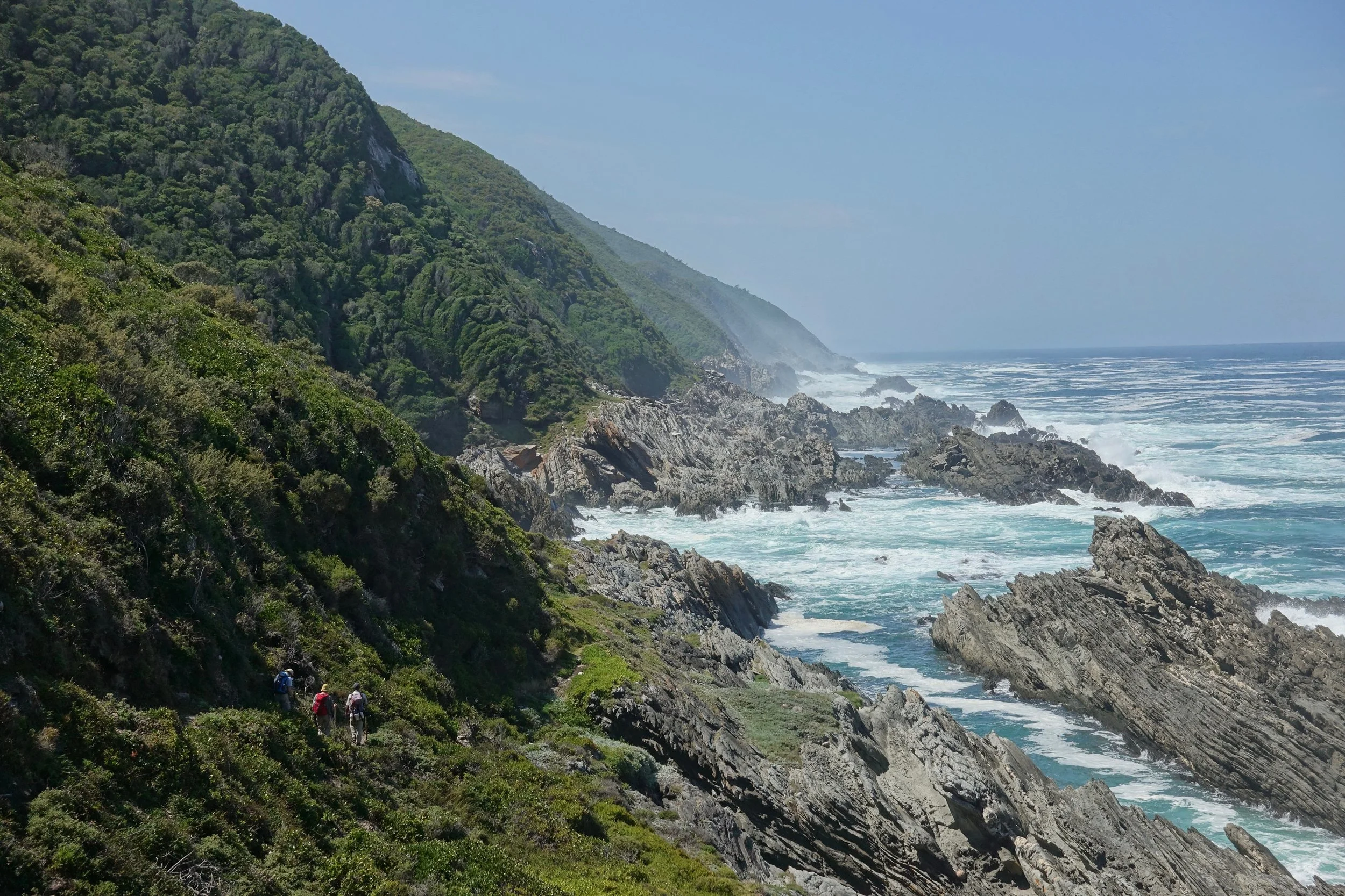
The two day Harkerville Coast trail was the most adventurous of the ocean treks
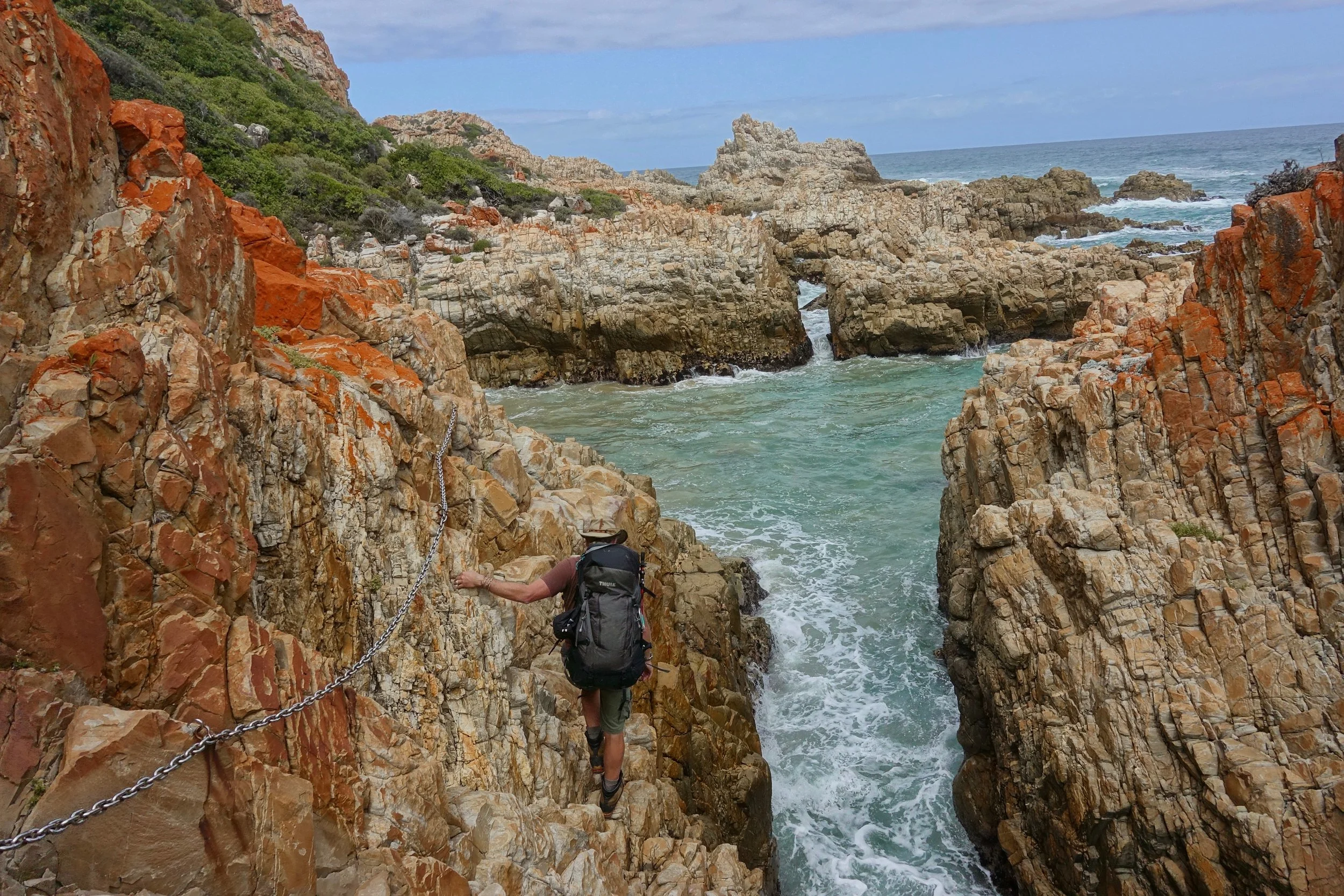
Chains, ladders and boulder hopping
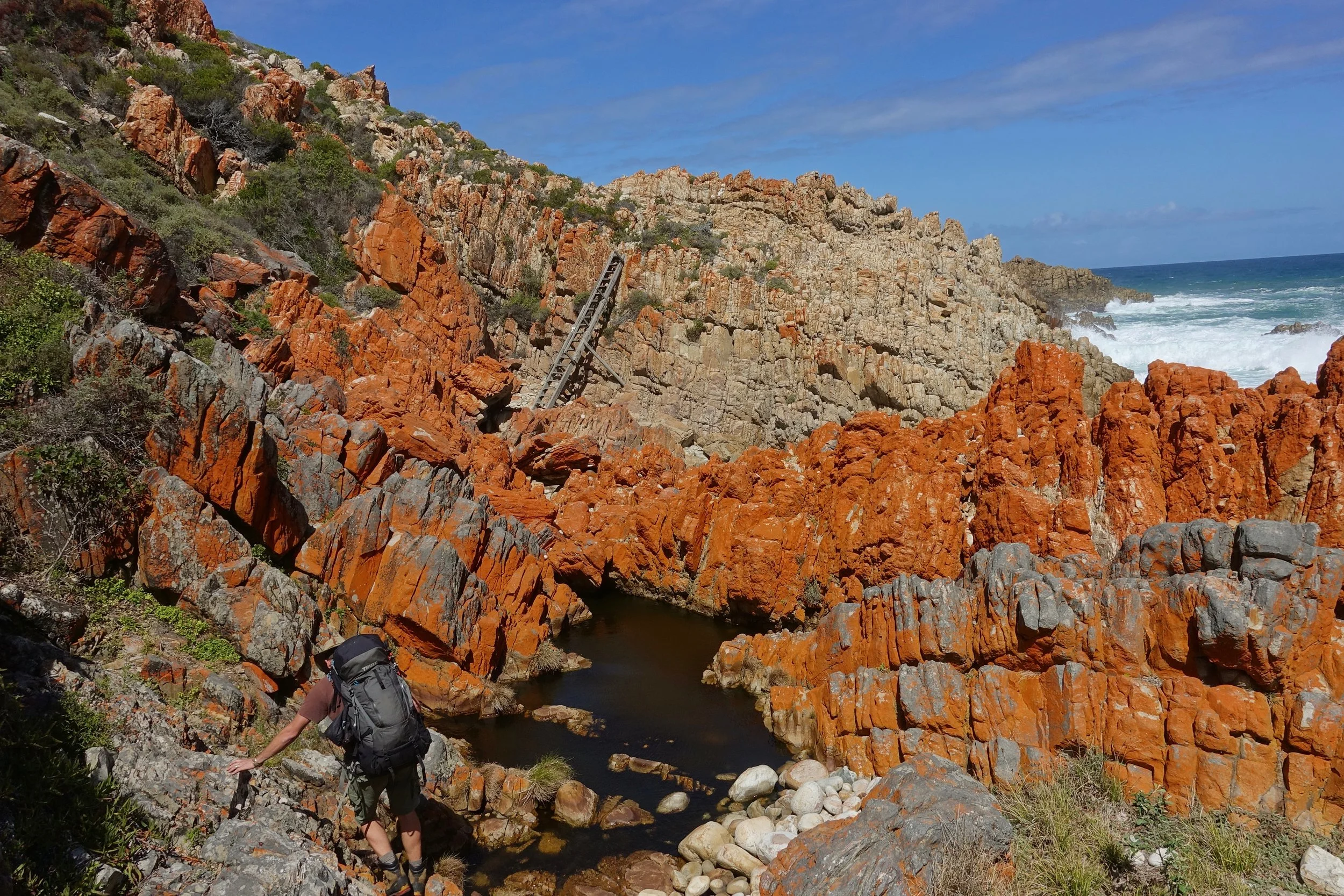
A rugged coastline that must be hiked with at least two people for safety concerns I believe
I hired a guide to meet the two person requirement
The huts were empty, the reward for the extra effort
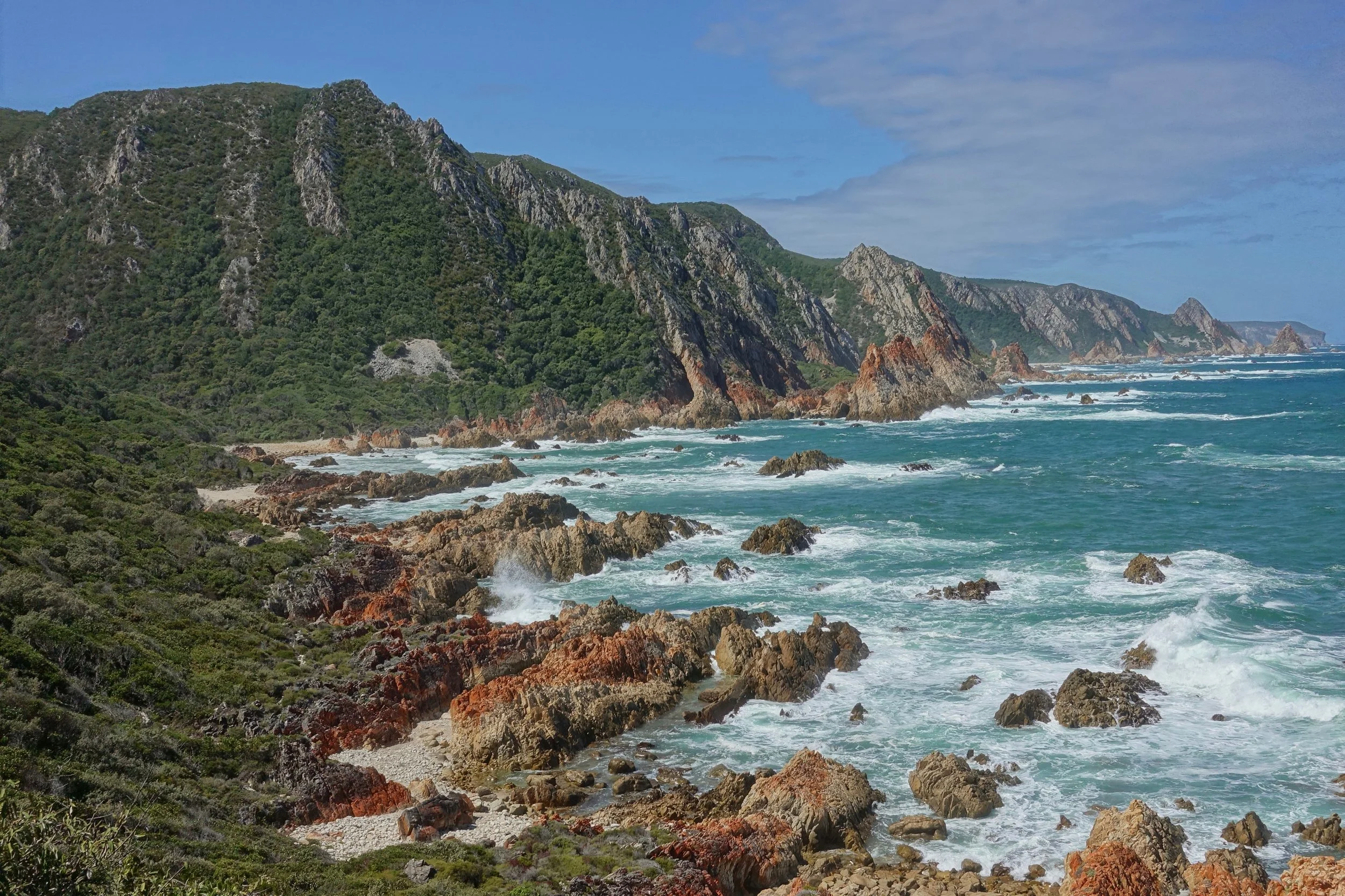
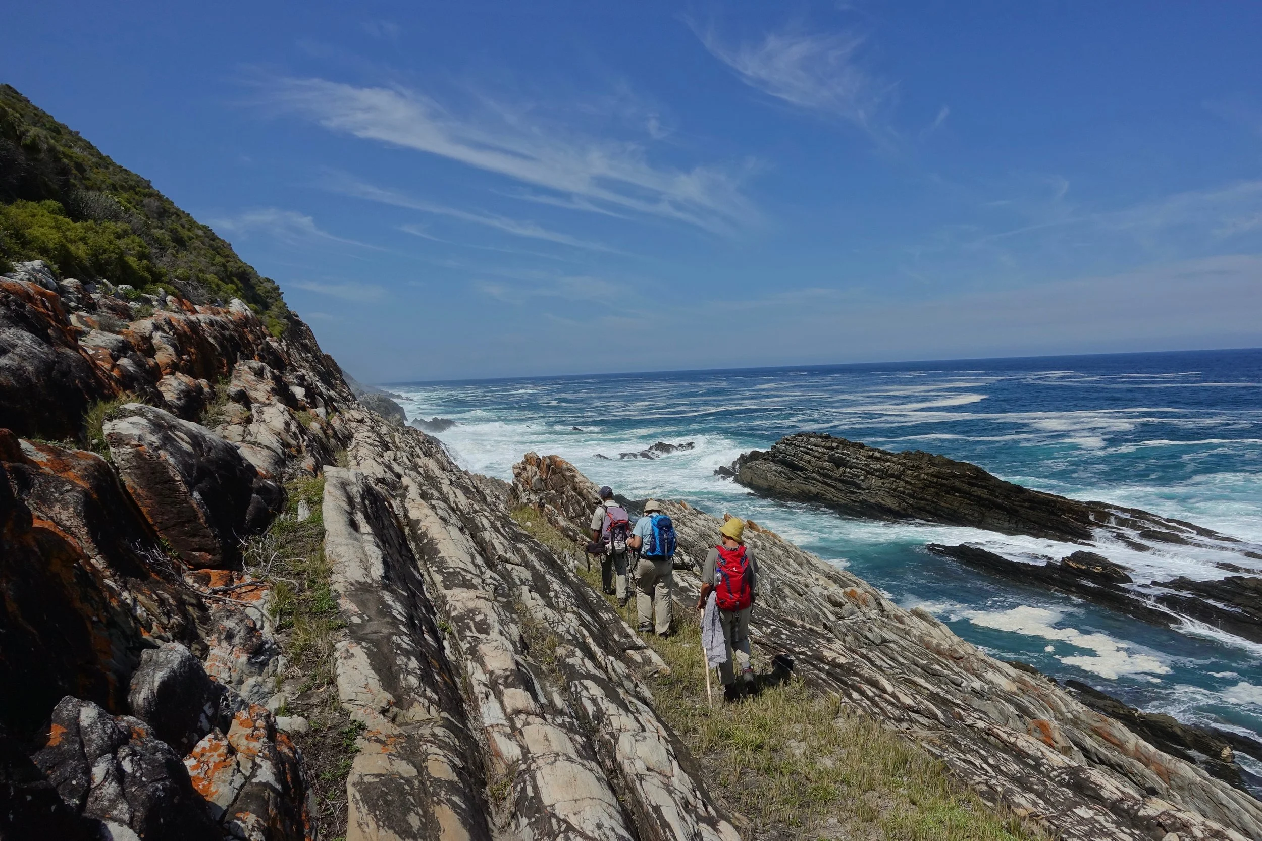
Harkerville Coastline
Robberg Nature Preserve
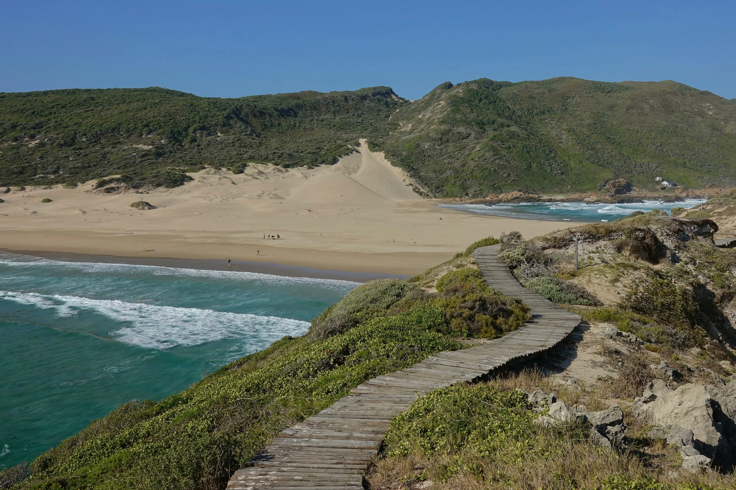
I stopped and did a day hike around Robberg Nature Preserve on the return trip to Cape Town
"The Island" is the best spot near the end of the loop. There is a beach here where you can cool off.
Cape Town
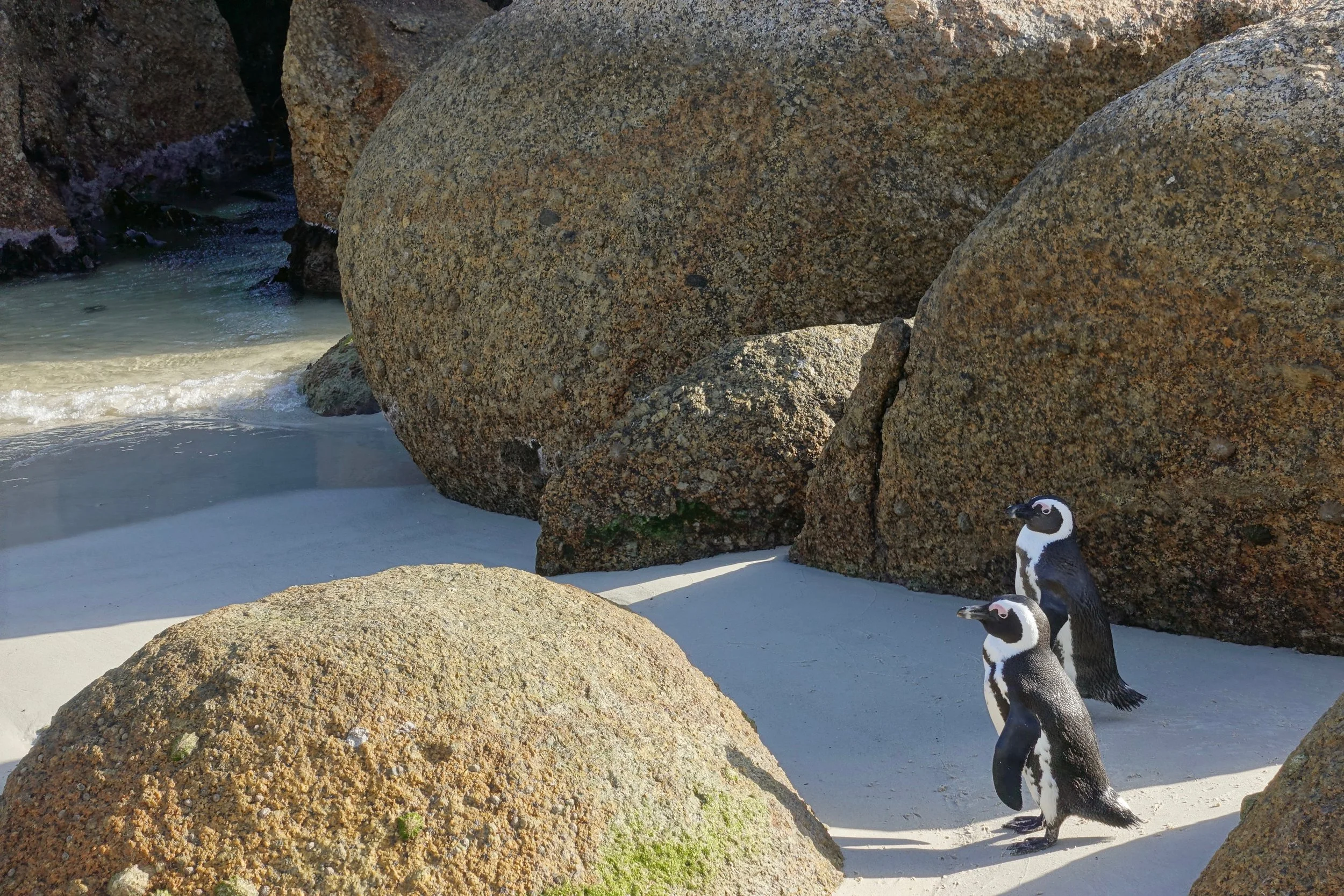
A quick visit Boulder Beach to see the African penguins