Sierra Nevada Mountain Range
Sierra High Route + Southern Sierra High Route
Yosemite Valley/Half Dome
Yosemite Valley/Half Dome
Sierra High Route
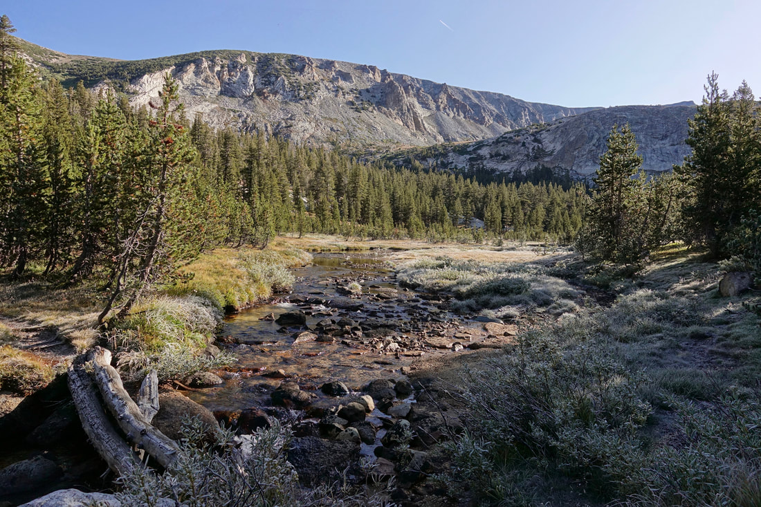
A few easy trail days starting at Tuolumne Meadows, up Rafferty Creek then down Lewis Creek
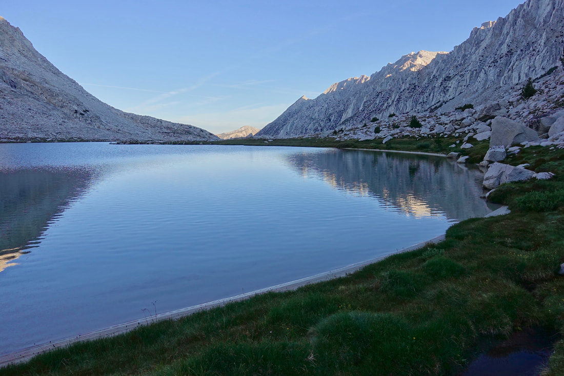
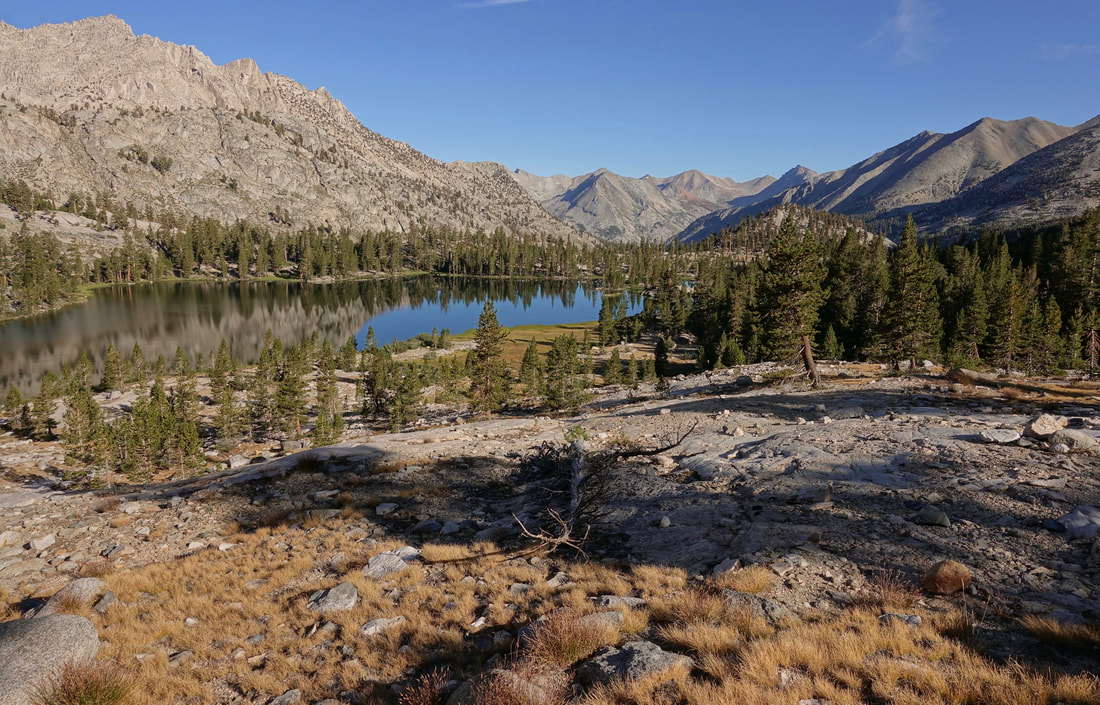
Then the stunning area around Blue Lake is reached with the first view of the Minaret Range
Evening light on Banner peak, Mount Ritter, and the Minarets from Blue Lake
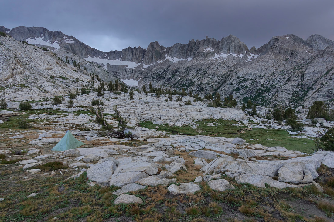
The section labeled as "tricky" on Skurka's mapset. "Find a way to the meadow above the waterfall" This day was the lowest milage day but also one of my favorites
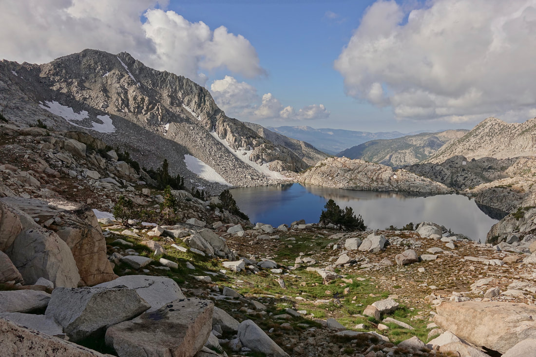
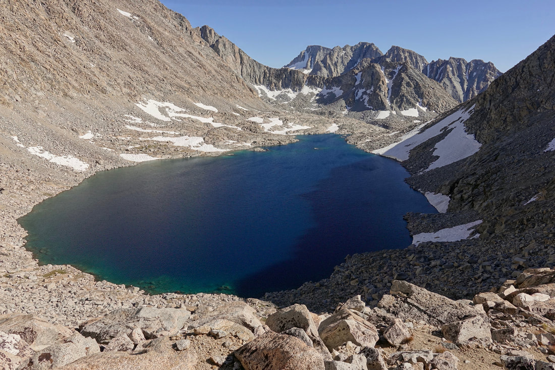
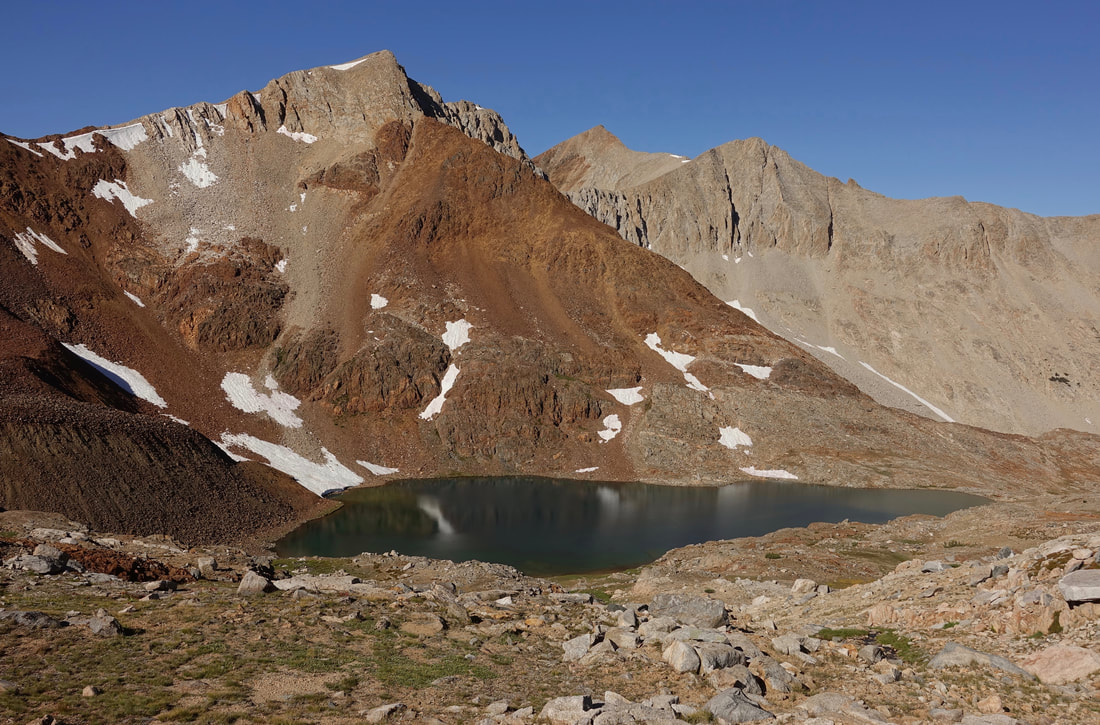
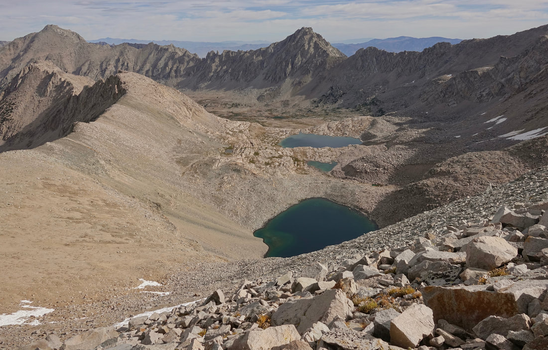
After a full day of climbing Lake Catherine is reached near North Glacier Pass
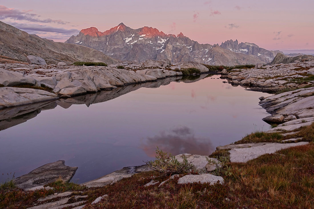
I woke early to enjoy sunrise at Thousand Island Lake. Only two of fourteen camps were on the east side of the crest
The major boulder field climbs are "uphill" when walking south. The clear advantage to going northbound would be the ability to pick up a permit at the trailhead at Roads End without any reservations. For general information I used Cam's Quick & Dirty eBook

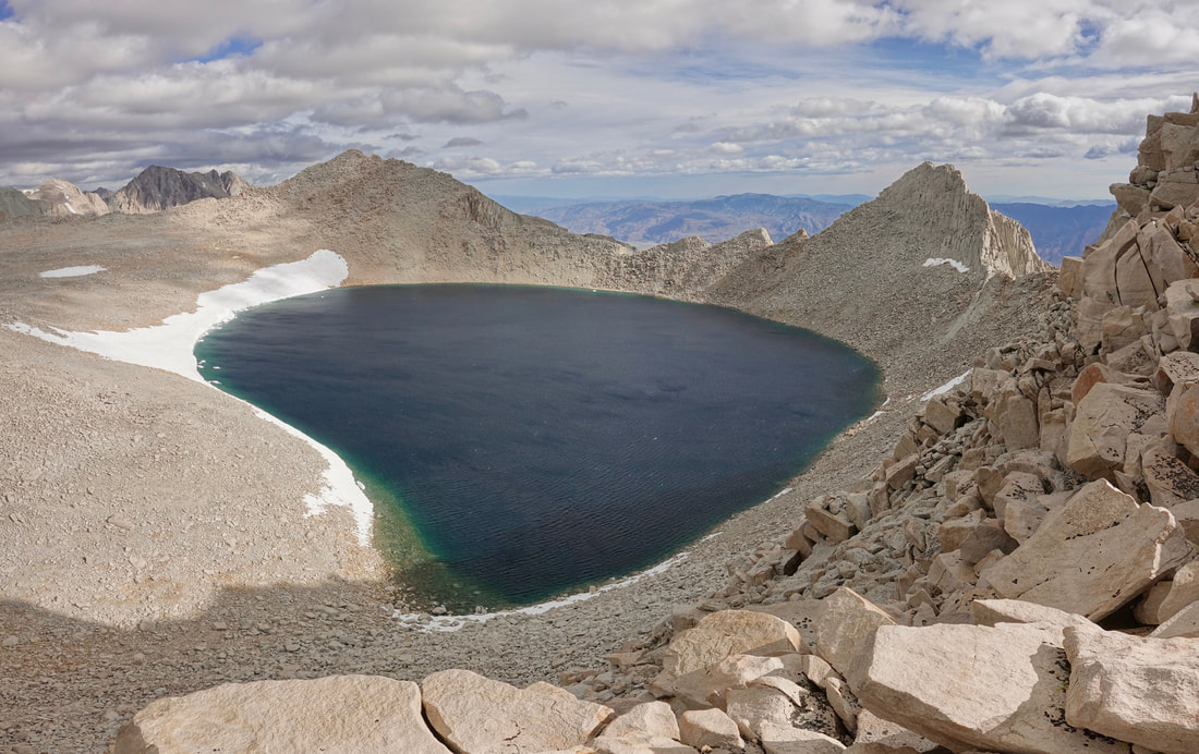
Iceberg Lake
The talus climb to Cecile Lake seen on the left side of the photo. Every day had its work and its rewards
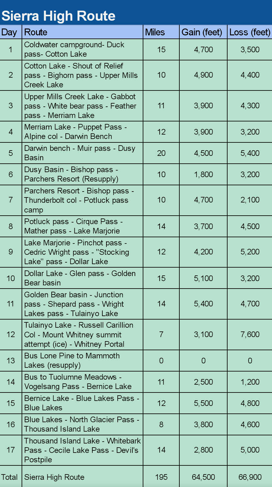
The official Sierra High Route goes from Twin Lakes to Road's End. The downside to the Roper's official route is that both trailheads lack bus service and it fails to visit Mount Whitney. I settled on combining two high routes going from Tuolumne Meadows to Whitney Portal. The most interesting variation I found was the Great Sierra Loop, a figure eight 4-6 week walk
The wonderful area around Cotton Lake
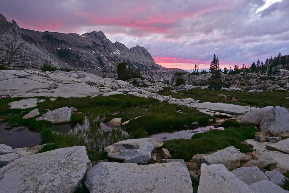
A unique sky for the Sierras with some color at sunset
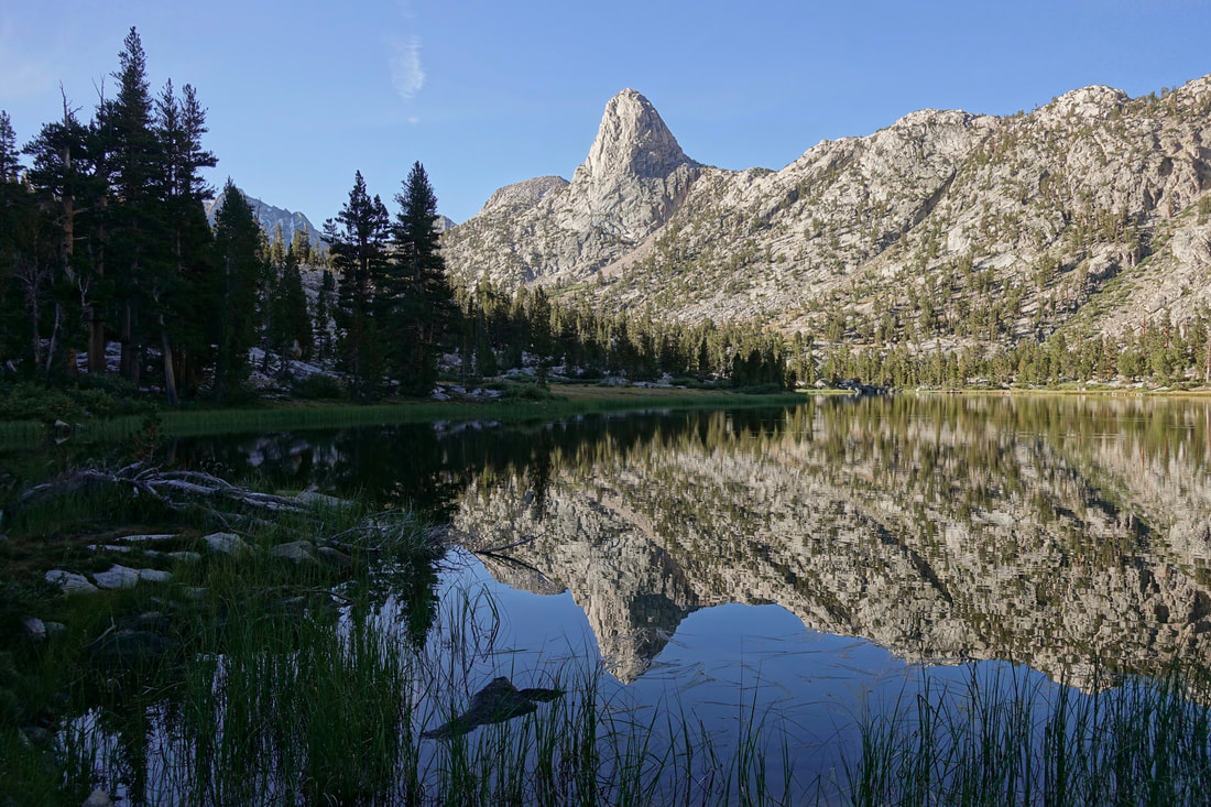
Rose Finch Lake
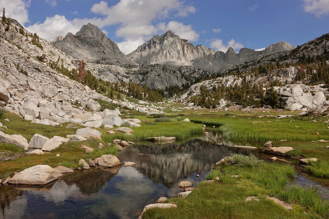
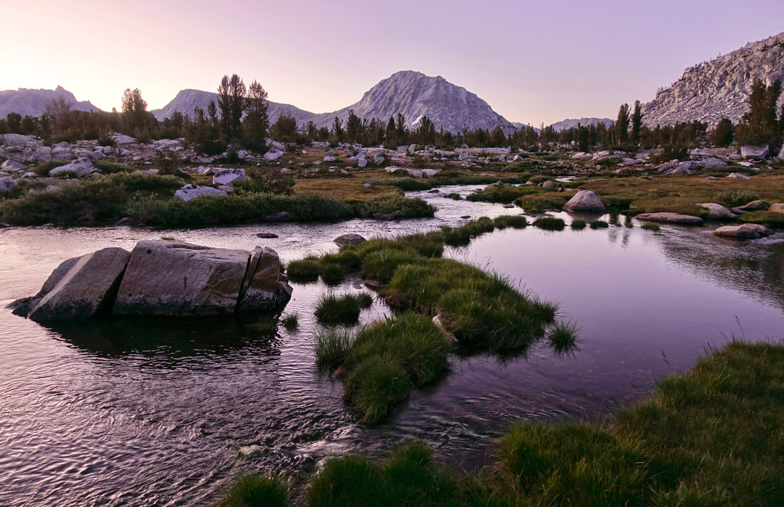
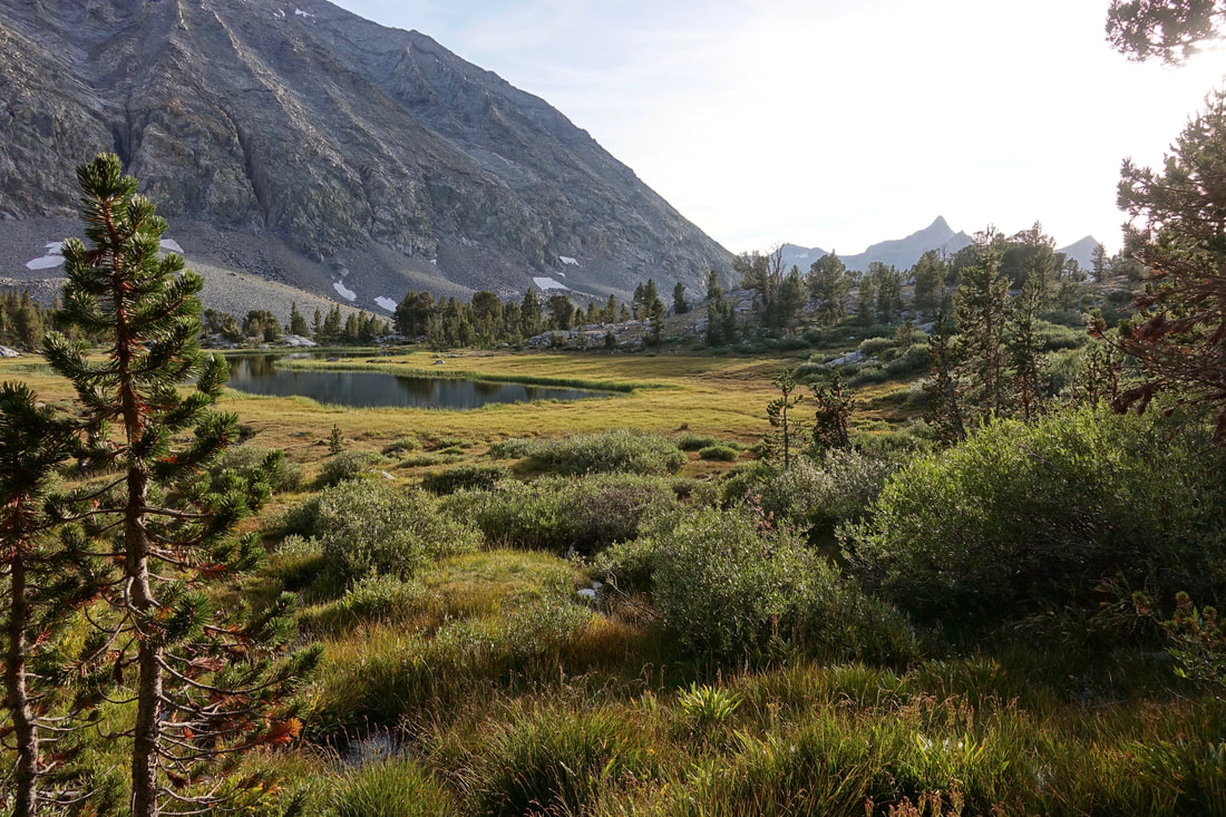
Pleasant meadows alongside Laurel Creek
Upper Mills Creek lake at the beginning of a three pass day. The "three pass days" took some extra recovery time

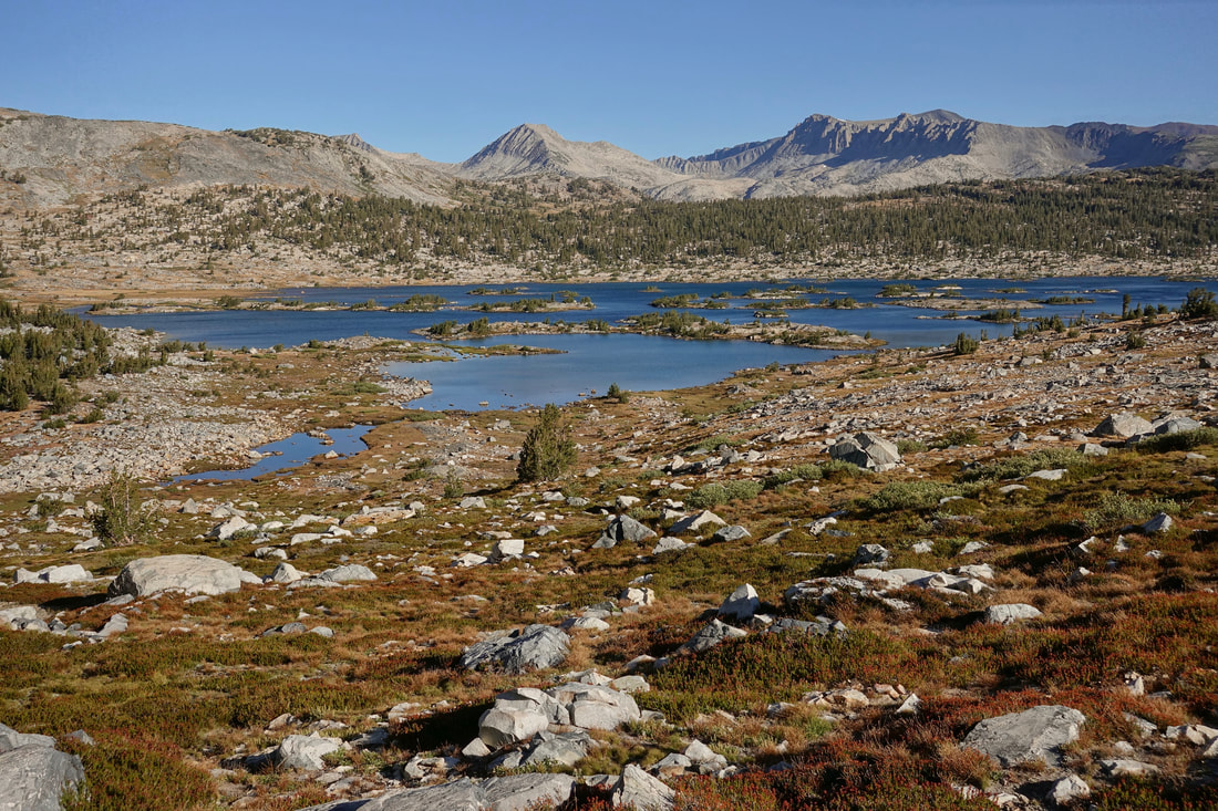
Walking along Lake Italy
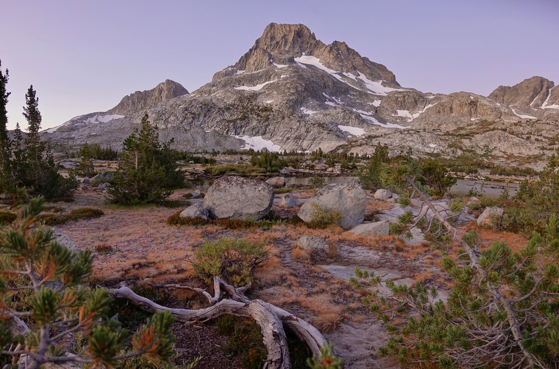
Dawn sky in the meadows near Merriam Lake
Instead of climbing Snow Tongue Pass I took Alpine Col per the advice of this trip report
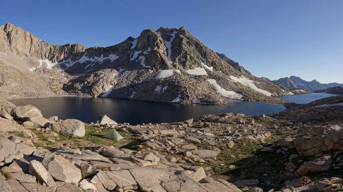
I stopped early and camped near Darwin Bench after coming down the pass, one of the highlights of the trip
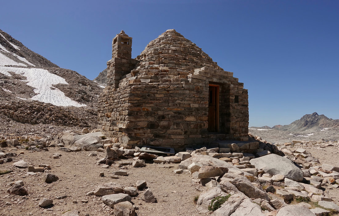
The warming hut at Muir Pass
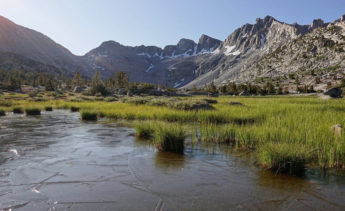
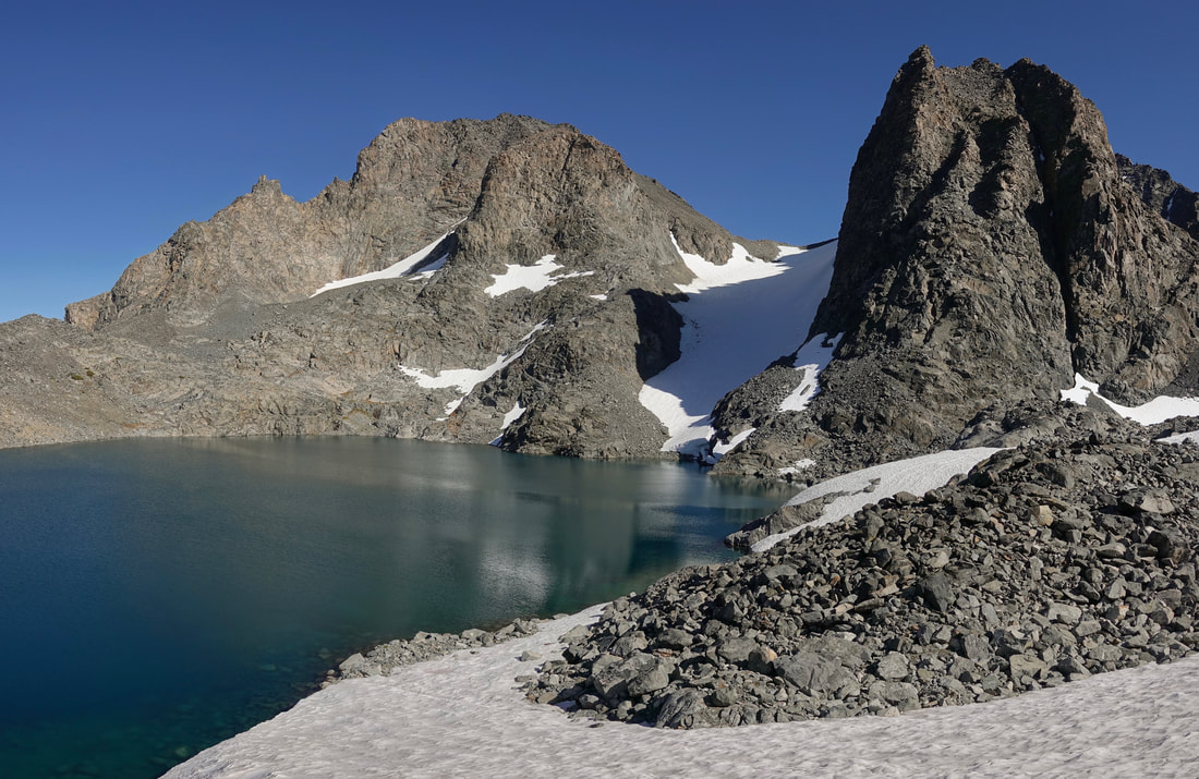
Frozen pond at Dusy Basin
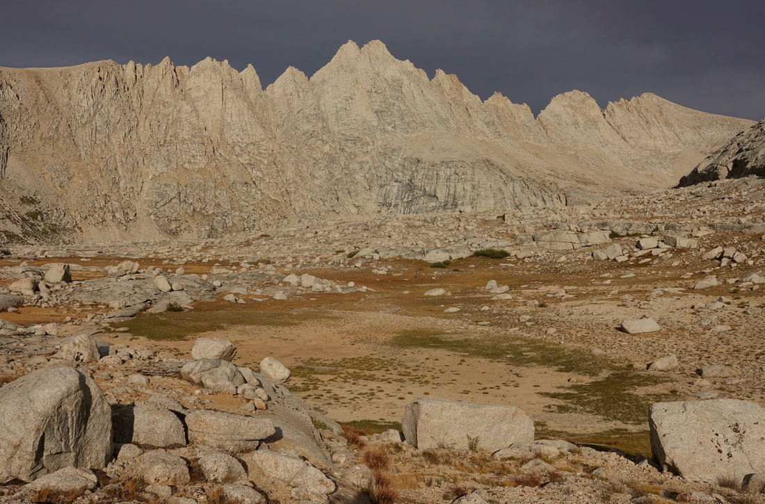
It was a mixed bag of warm and cold nights in September, taking layers off and putting layers on in the middle of the night

Three big portions of hot dog spaghetti at Parcher's Resort. A surprise to get hot food here as there was a general store with a few grocery items.
Potluck Pass
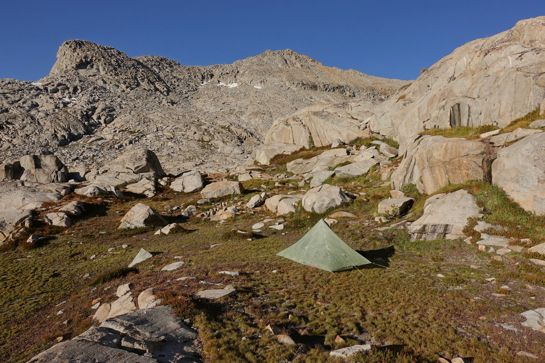
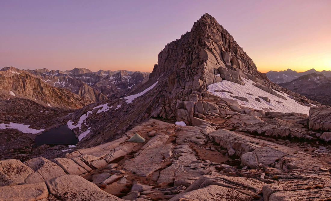
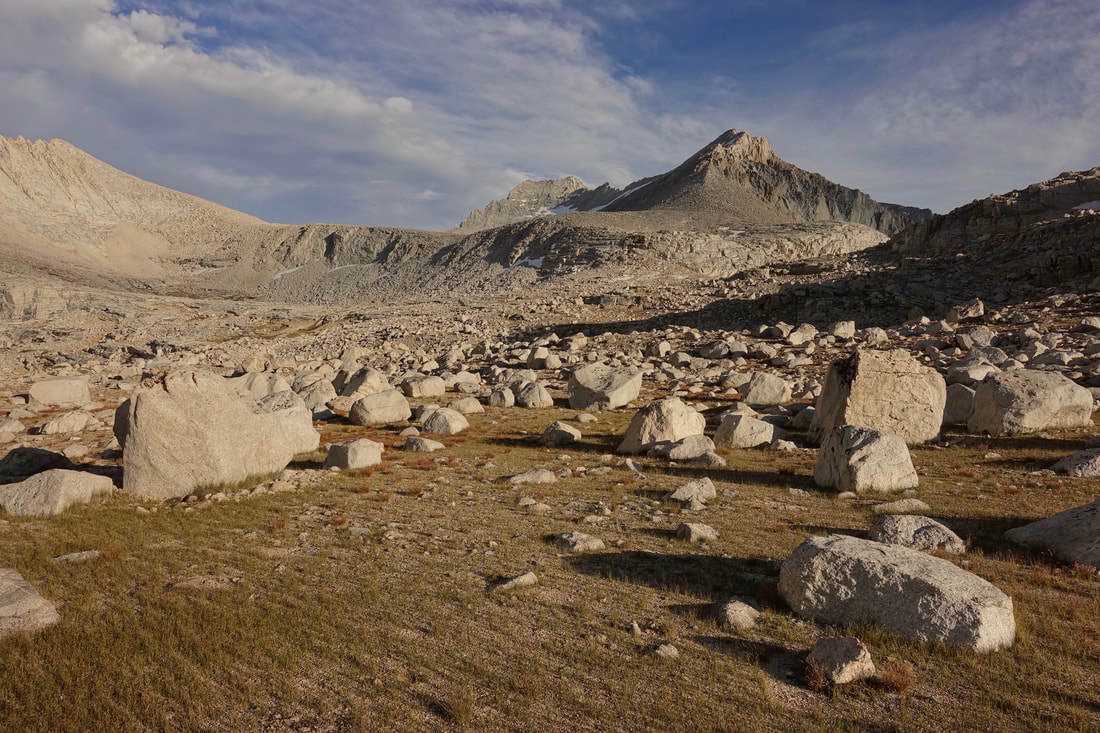
Camp in the boulders above 12,000ft
Climbing Pinchot pass
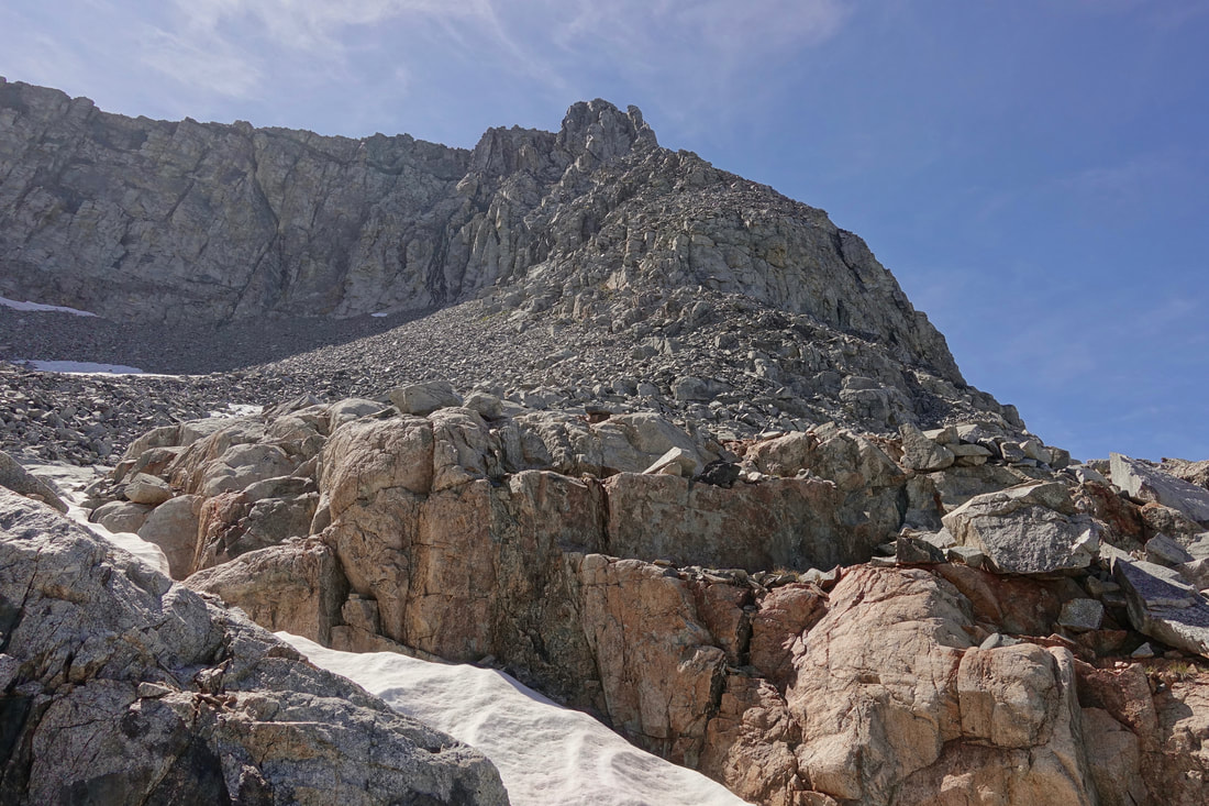
Instead of climbing Mount Baxter I took what I thought would be a shortcut, climbing this formation west of Stocking Lake. Class 3/4 climb depending on the route, I minimized exposure by twisting around keeping my distance from major cliff drops
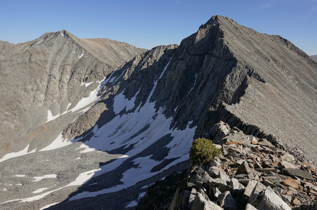
The boulder field was loose on the way down the other side too and I had to focus to keep from getting injured
Back on solid ground near Baxter lakes. I remember the sense of relief here walking on grass. My advice to those walking the Southern High Route would be to add an extra day to the Wilson/Dixon timetable if taking the Cedric Wright/Baxter/Sixty Lake alternative route
Arrowhead Lake
Taking the JMT for most of day through Rae Lakes and Vidette Meadow
Looking back at Golden Bear basin on the Junction Pass climb
The section from Wallace Lake to Mount Whitney was my favorite. Possibly the most scenic place in the lower 48
The approach to Mount Russell and Tulainyo Lake
Russell Carillion col. On the way down to Boy Scout Lake a snowstorm started. I took a couple falls going up the mountaineers route of Whitney before deciding to turn back. Another time..
Yosemite Valley
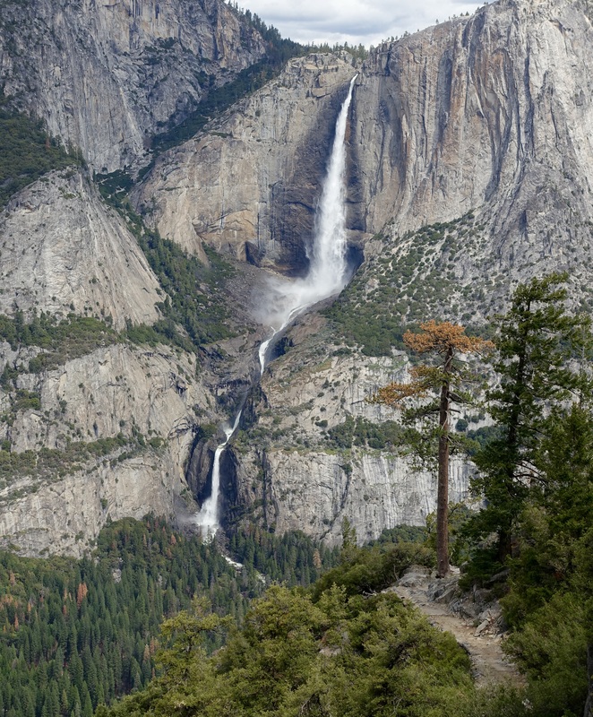
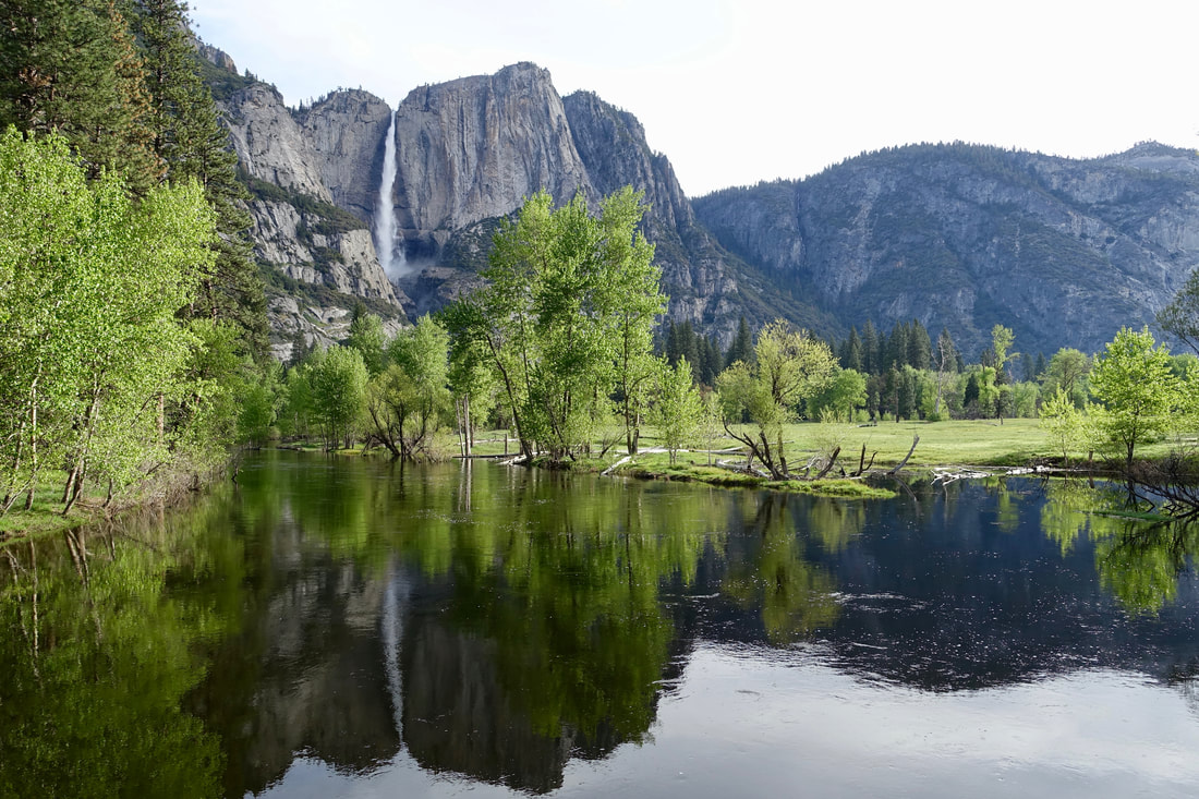
Yosemite Falls
There are two ultimate dayhikes starting in Yosemite Valley that overlap some, but can be done in different seasons. The first hike is the summit of Half Dome (14 miles return, 4800ft), which is best done in the summer season when cables are supplied. A permit is required for the cable system.
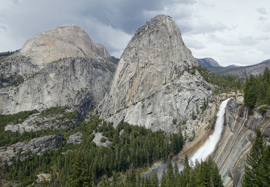
Nevada Falls
The other long dayhike is to combine the 4-mile trail, Panorama trail, and Mist/John Muir Trail. This loop is best done in the spring during peak waterfall season, as it passes along some of the major waterfalls in this section of the park (Yosemite Falls, Illilouette Falls, Nevada Falls, and Vernal Falls).
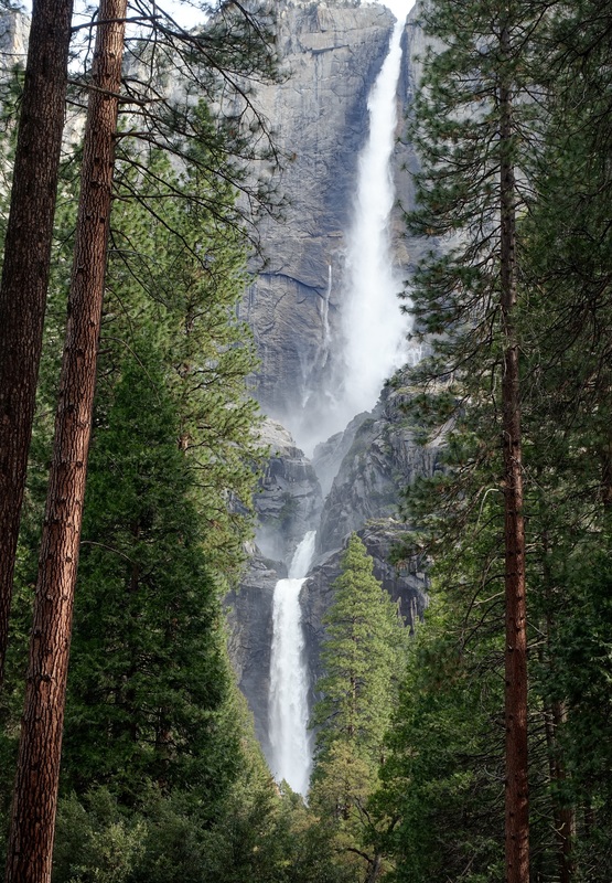
Yosemite Falls has two separate trails, one to the bottom and one that climbs to the top
And although there are not technically trails, walking through the meadows in the valley itself is also great