New Zealand
Stewart Island
Stewart Island - Northwest and Southern Circuit
I did a combination of the Northwest Circuit and Southern Circuit over eight days going from Oban to Doughboy Bay (78 miles plus side trips)
The ranger at the visitor center told me the walk would be “character building” with inches of rain the first few days. The huts had fireplaces to warm up and dry things in the evenings
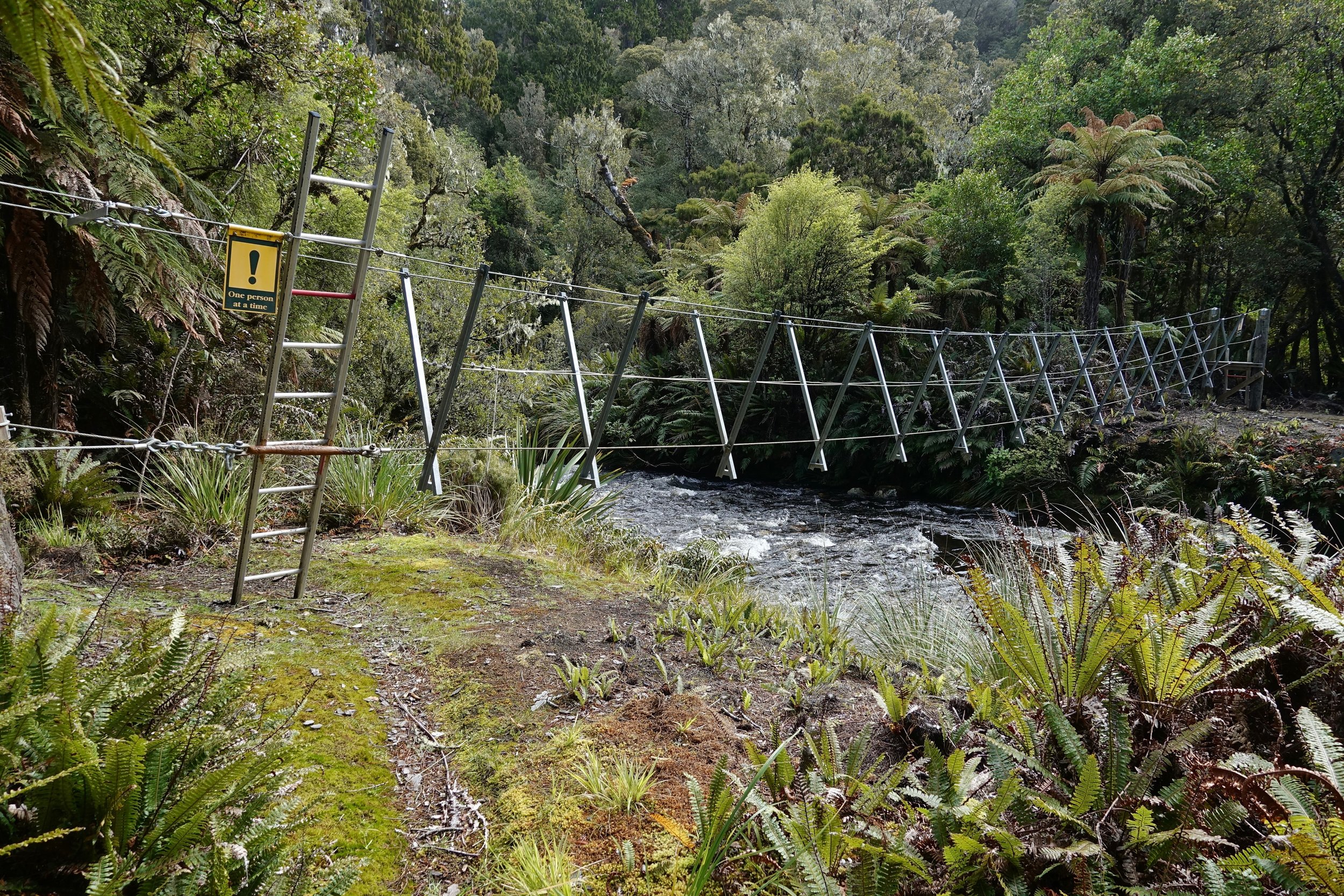
Three wire bridge near the Yankee River hut
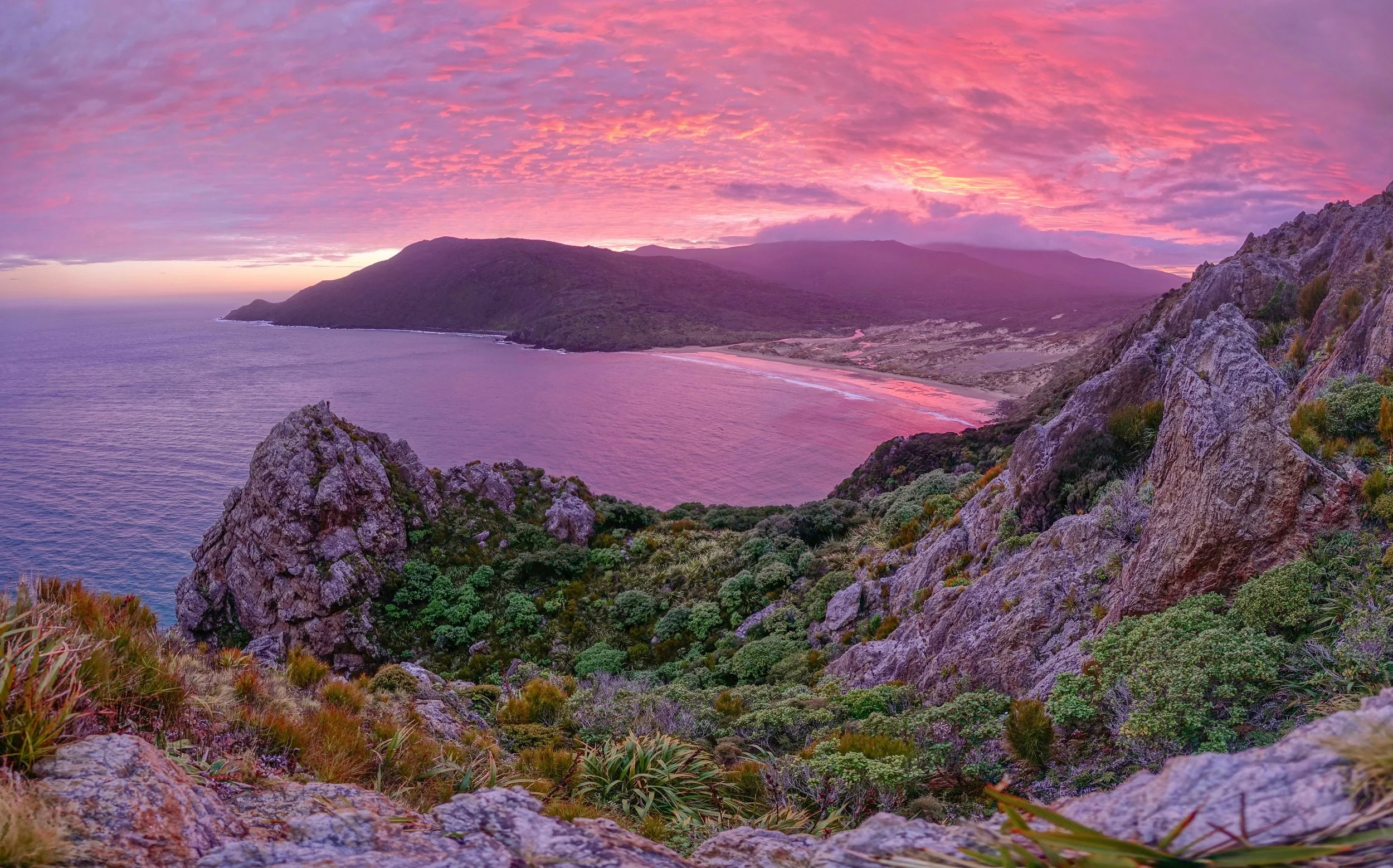
Sunrise above East Ruggedy Beach
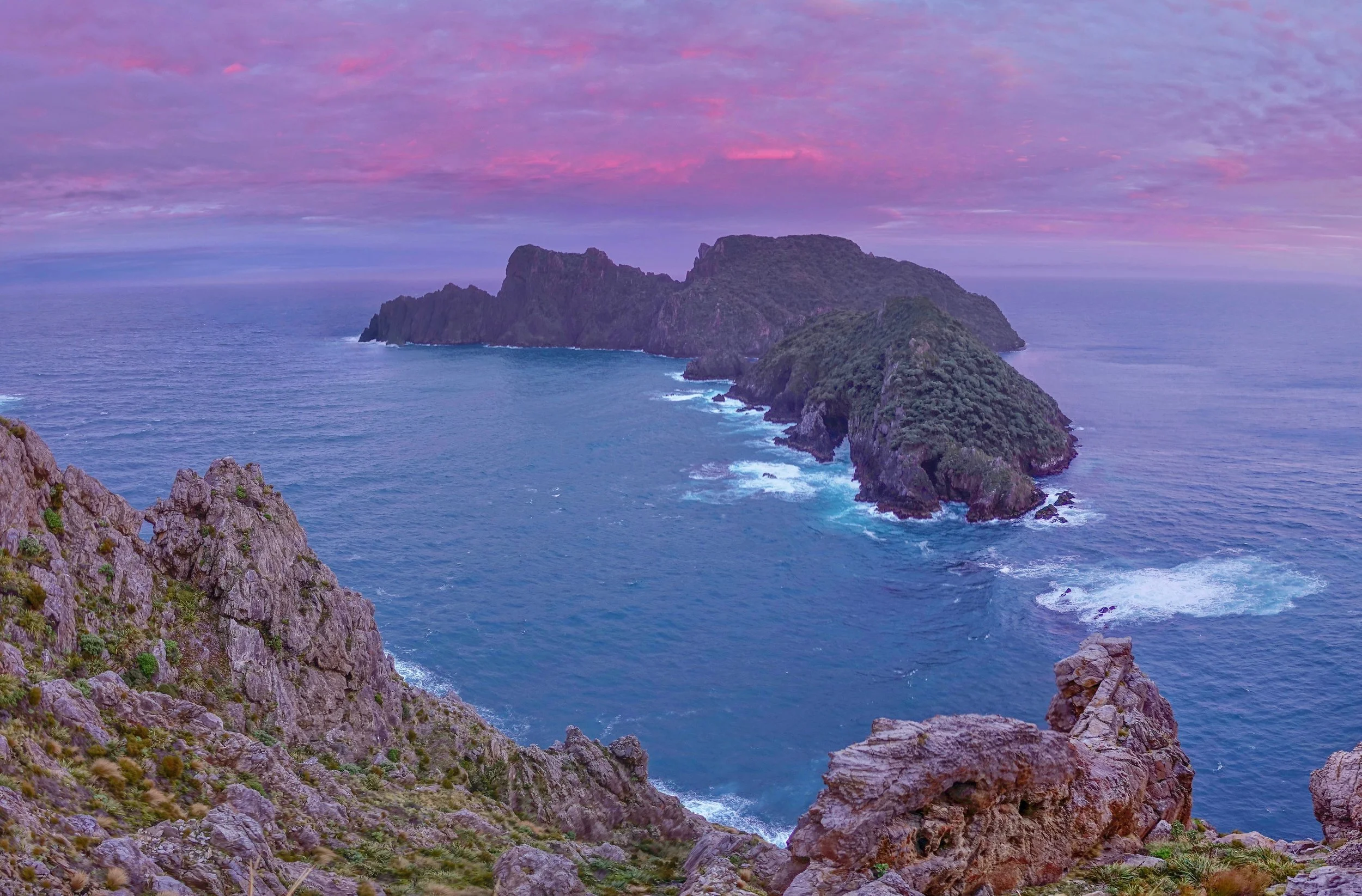
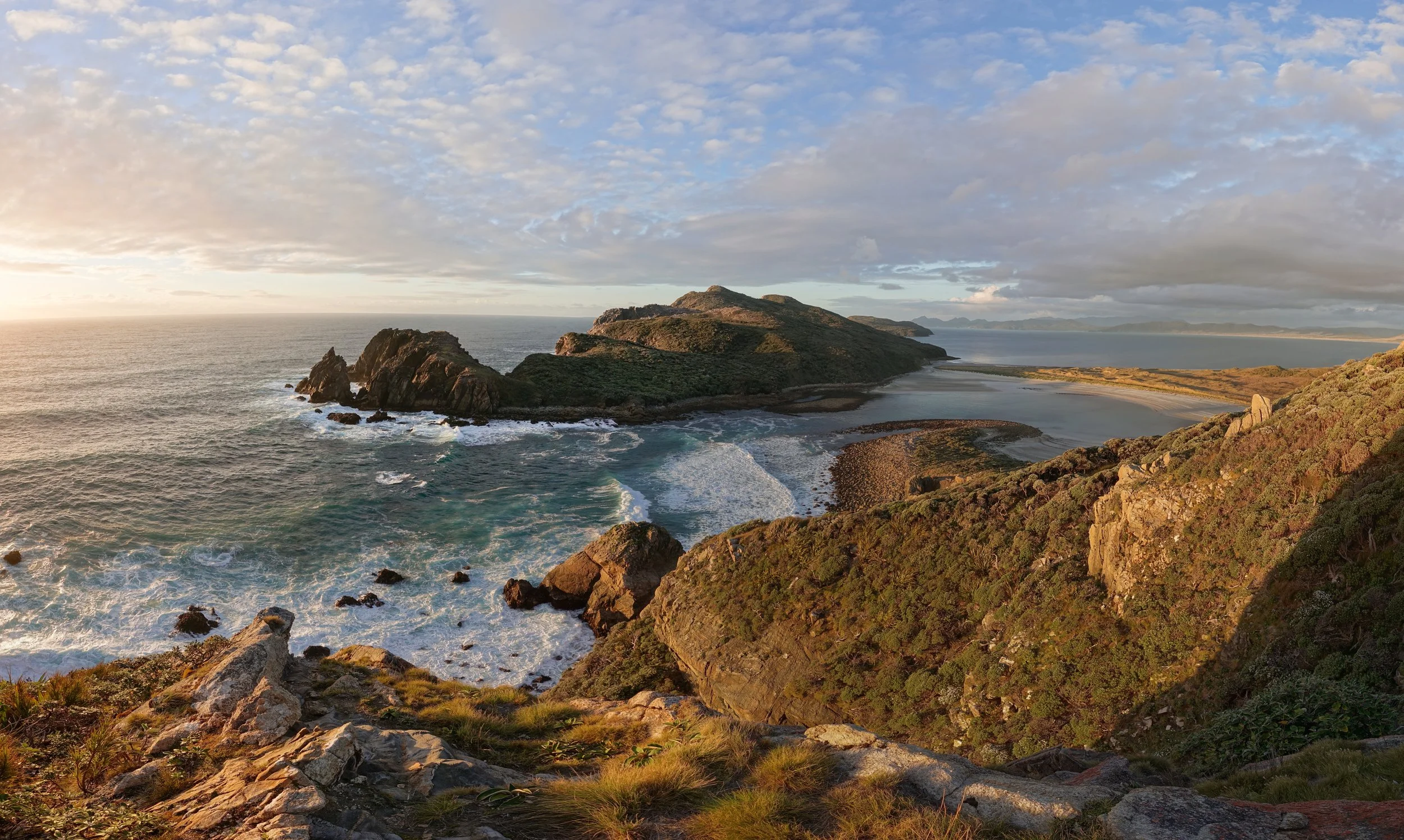
Rugged Islands from the hill in the northwest corner
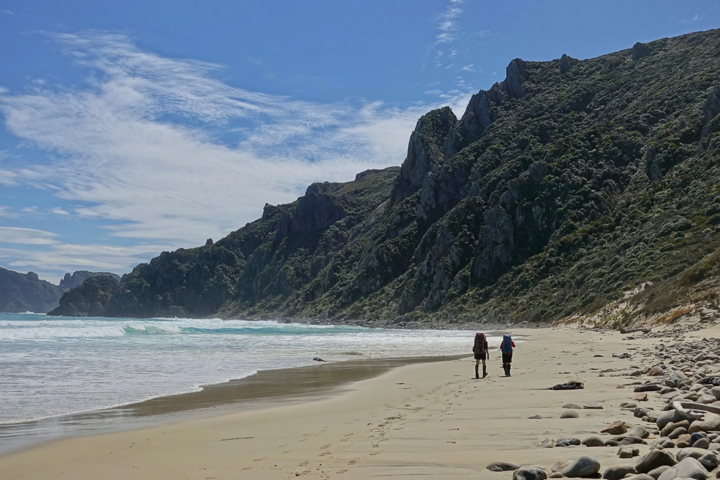
The beaches on the walk are stunning, particularly on the north and west sides of the island
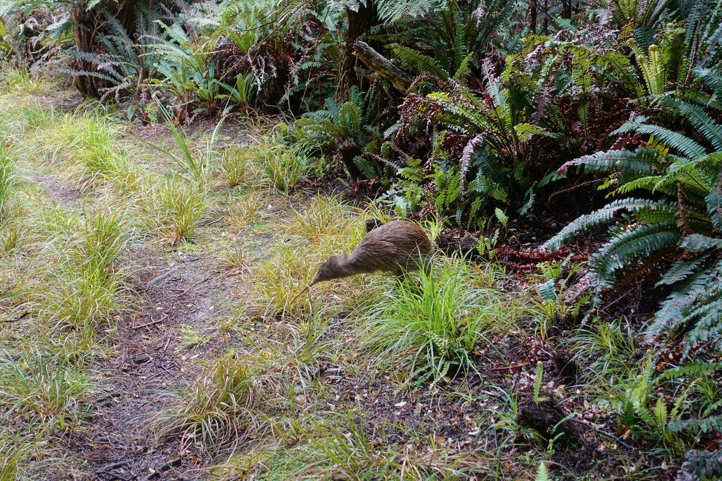
Stewart Island offers a good chance to see a kiwi, a nocturnal bird in most of New Zealand, yet they have enough freedom on the island to roam day and night
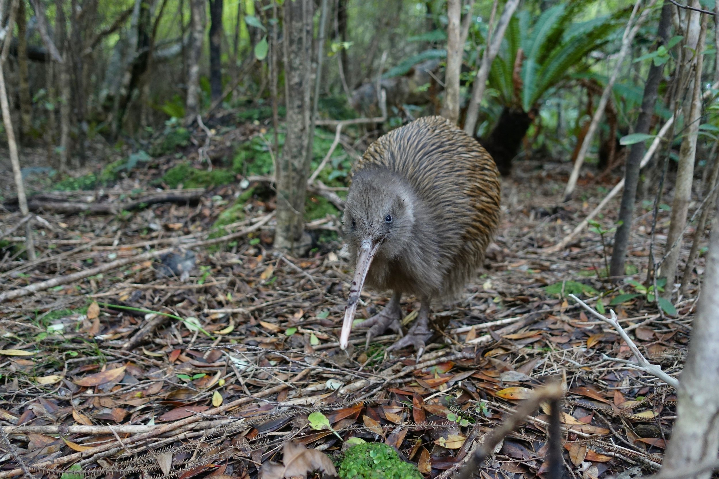
A rather blind and helpless bird, but a symbol for New Zealanders. I felt like they couldnt notice me unless I made noise, one even stepped on my foot. They are said to have a great sense of smell and are the only bird with nostrils at the tip of their beak.
My greatest memory from the circuit was running down this 700ft sand dune to Big Hellfire beach and taking a cold jump into the ocean
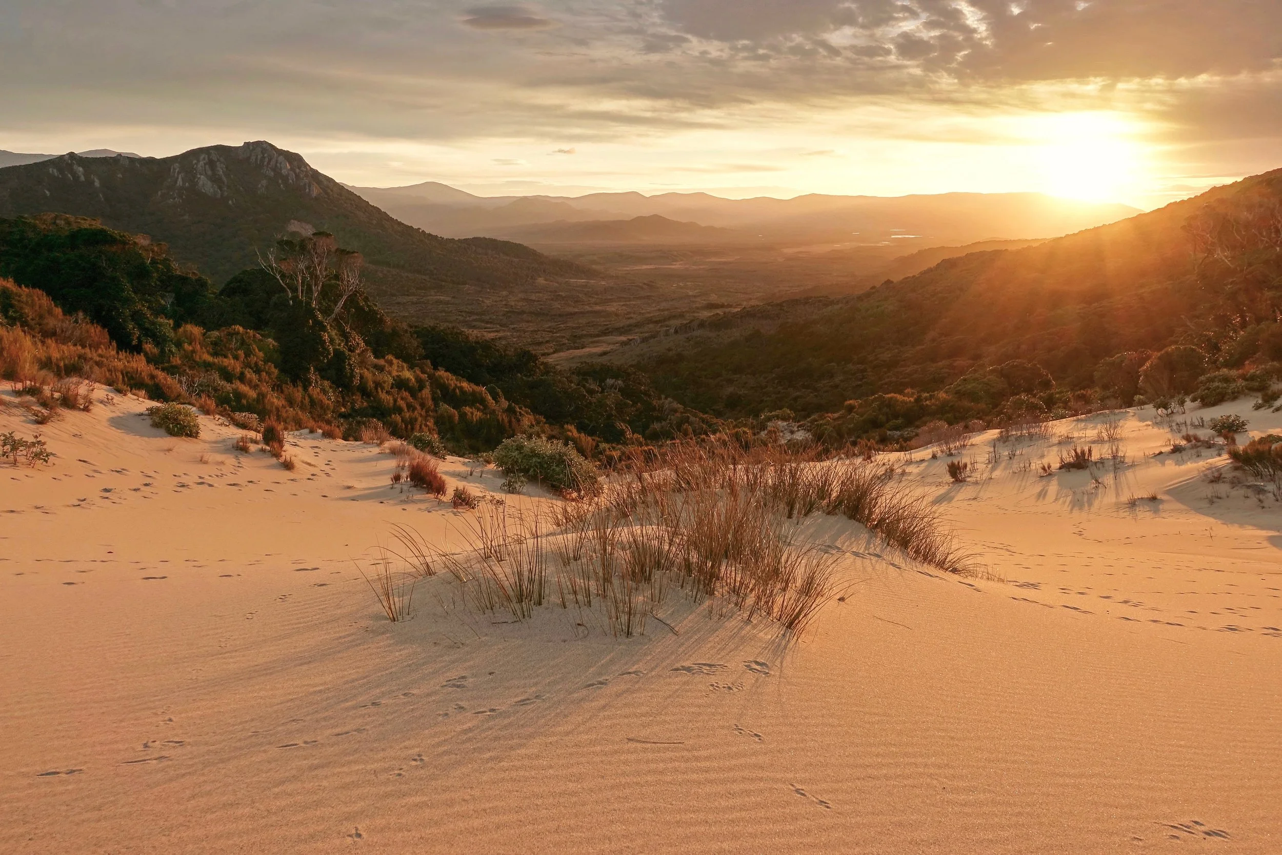
Big Hellfire Pass
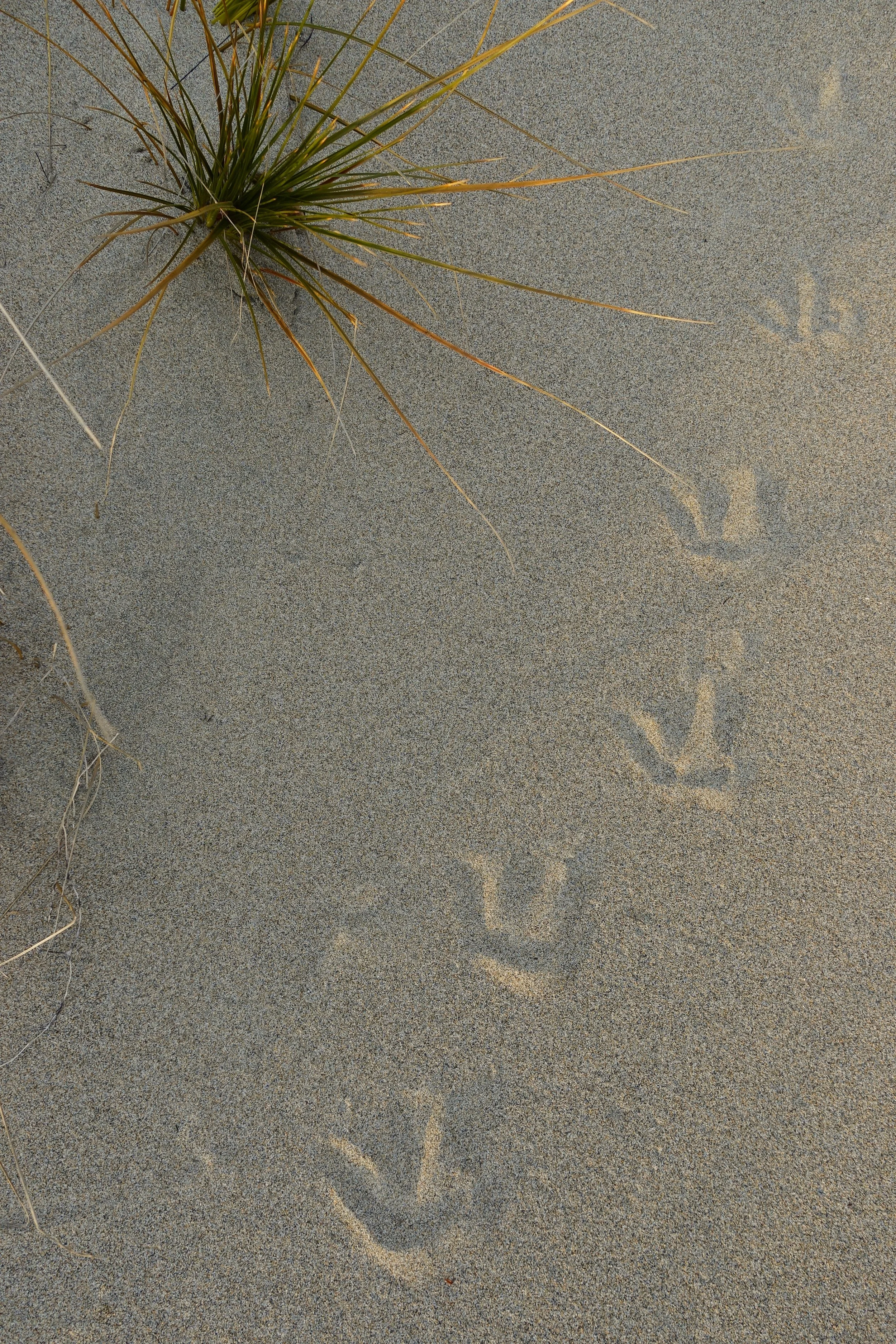
Kiwi footprints
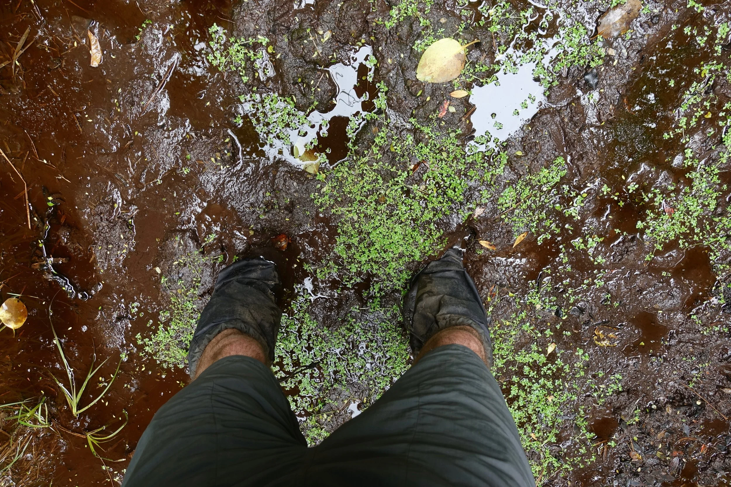
Hard to think about the island without mud coming to mind, the west side from Ruggedy to Doughboy having the worst of it
The huts were often empty, would use a double mattress for comfort. When I did meet a fellow tramper, the conversion would often revolve around the mud and which shade of brown was the worst
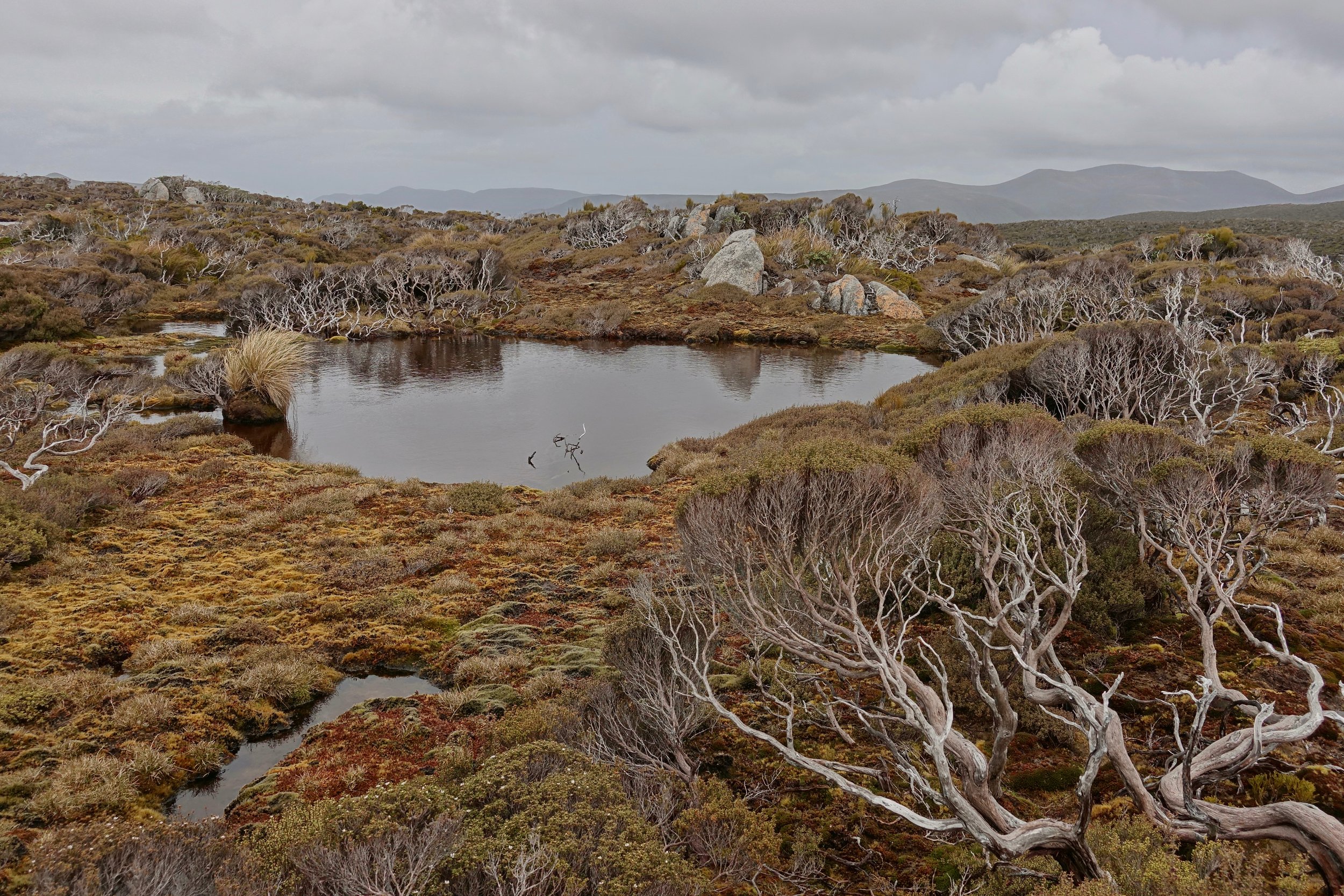
Bog on Adams Hill
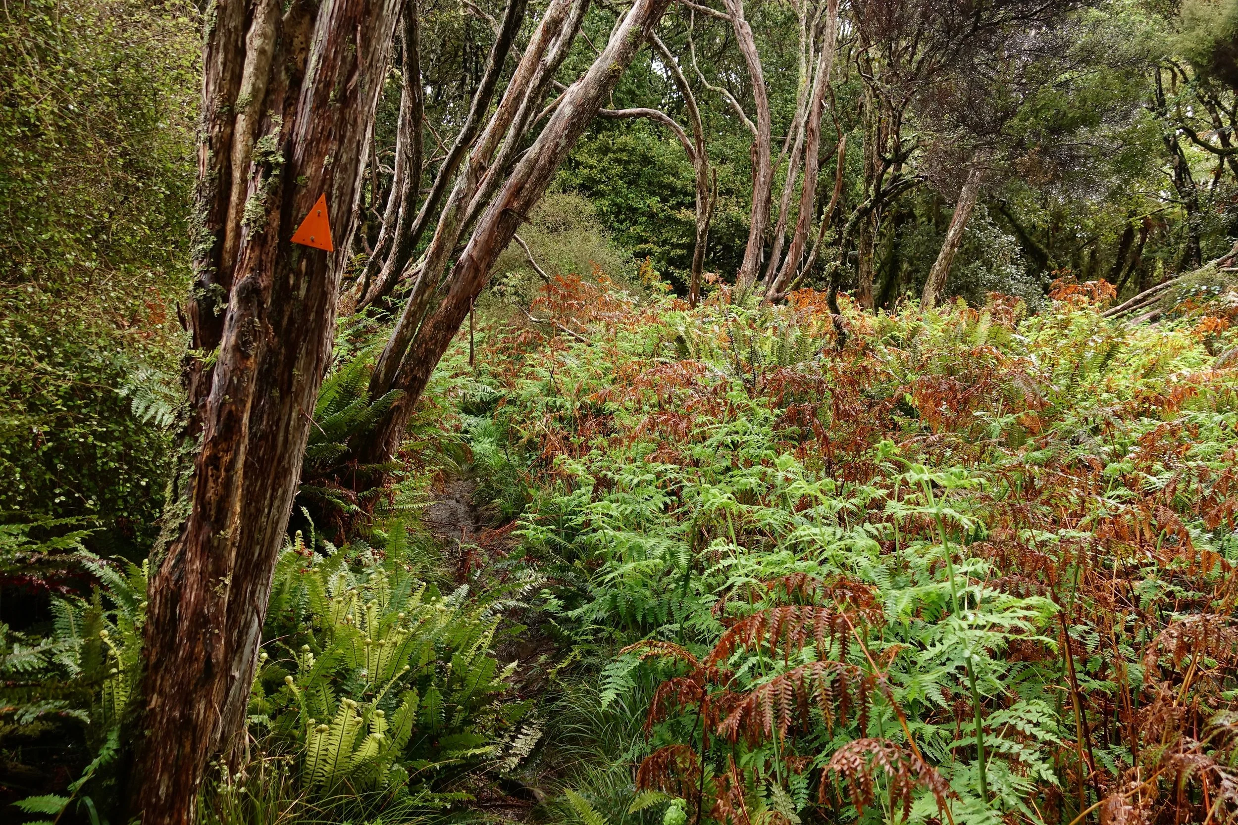
The tracks are well marked throughout, a basic map with locations of the huts is all that is needed
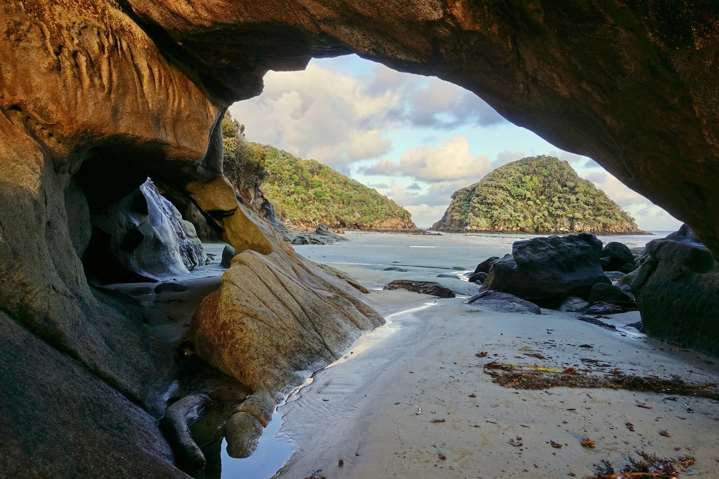
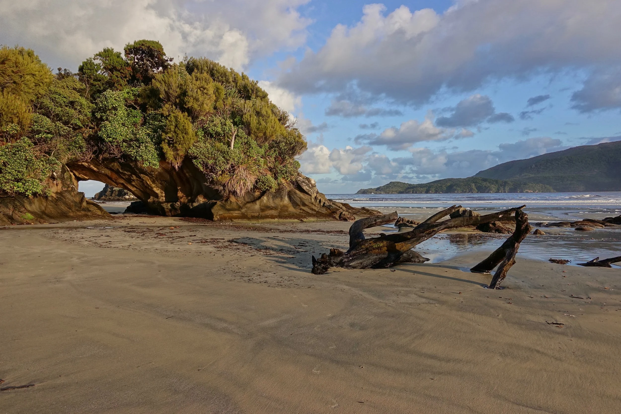
Arch at Doughboy Bay
I was told the huts on the Southern Circuit may become hunters huts in the near future (2018), was glad to have completed the walk
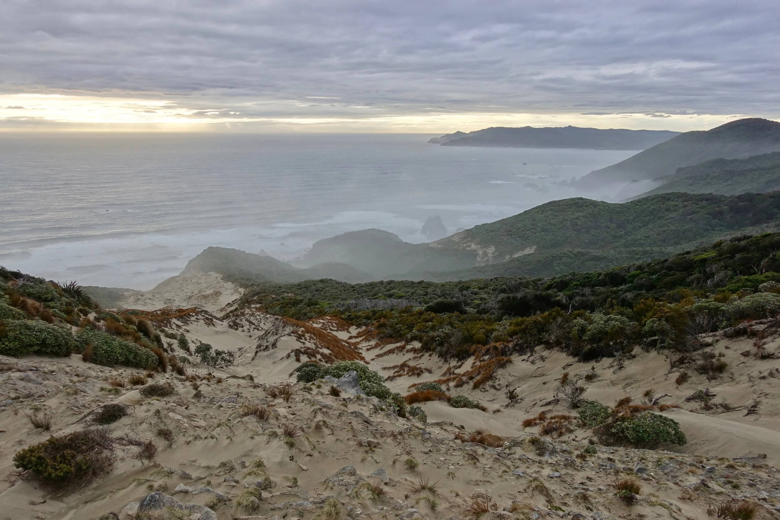
Sunset on the final night from the hill above "The Gutter"
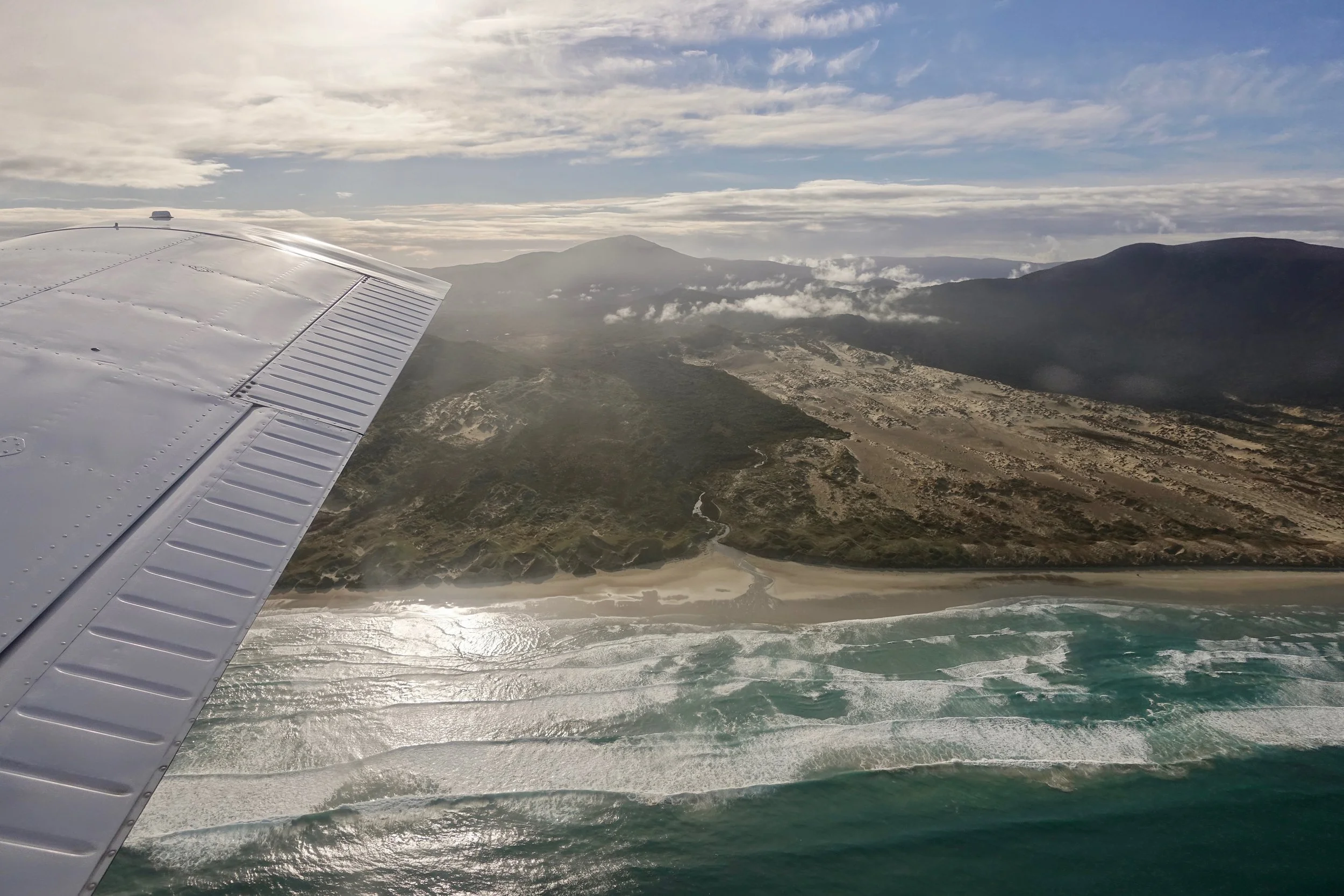
Flight back to Invercargill