Canada - East
Fundy Footpath and Dobson Trail
Churchill Wild Polar Bear Safari
Fundy Footpath and Dobson Trail
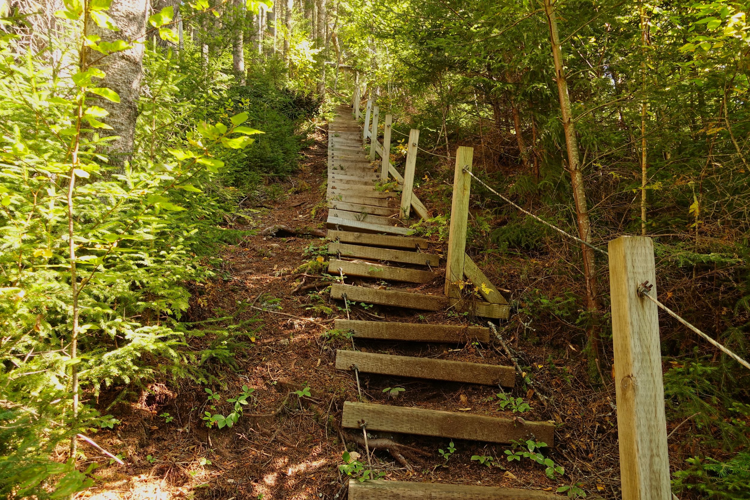
From the beginning the Fundy Footpath starts climbing
I met some folks who had just finished at the Interpretive Centre. They gave me their map and warned of some aggressive hornets around Goose Creek
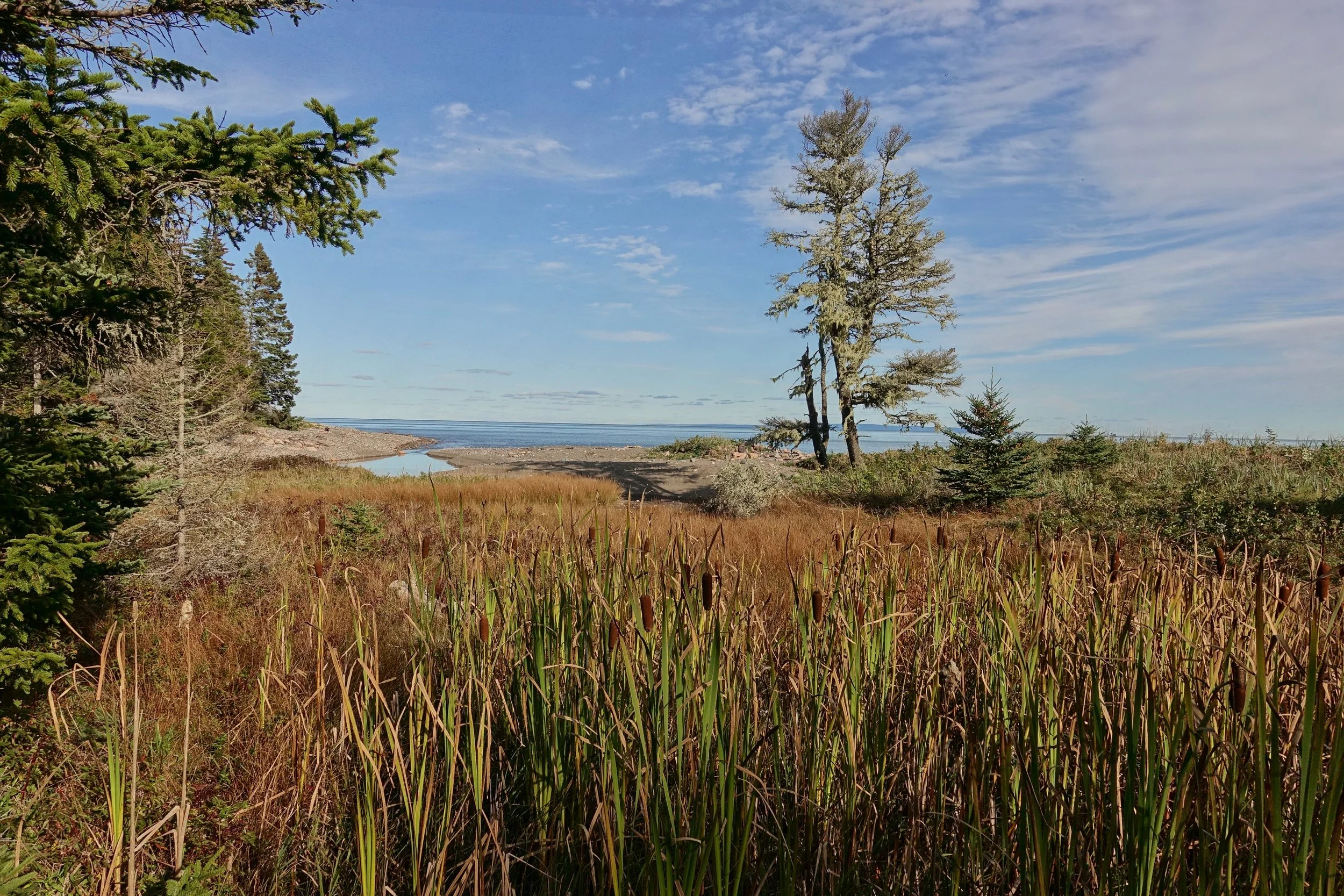
The coastal areas are excellent along the Bay of Fundy
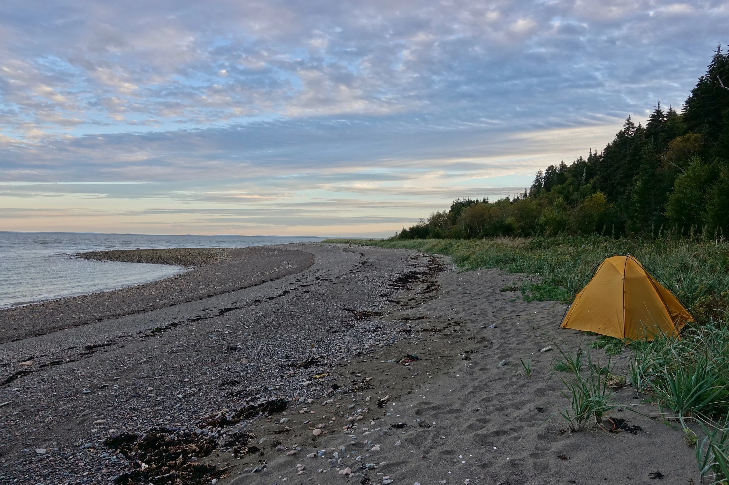
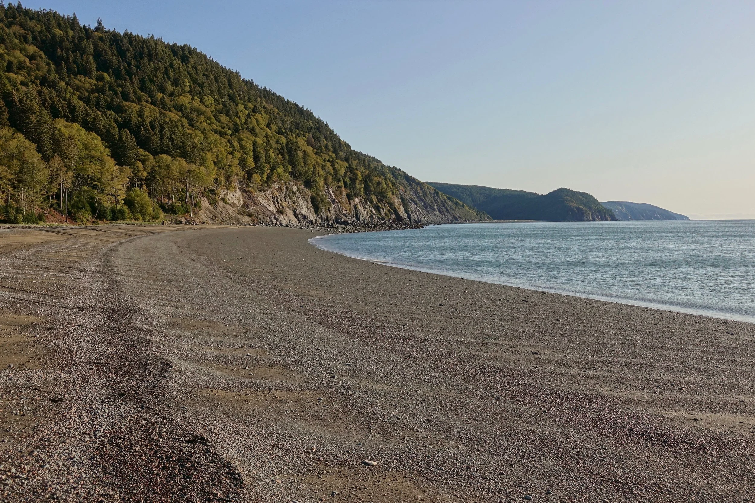
The first day was short camping at Seely Beach after arranging a taxi from the city of Moncton to the trailhead
Daily routes for the walk. There is a general store in Alma to resupply on food which kept the pack light and allowed more distance to be covered. Day three was the toughest and could be broken up with a reservation at a campground inside the National Park.
Overview Map
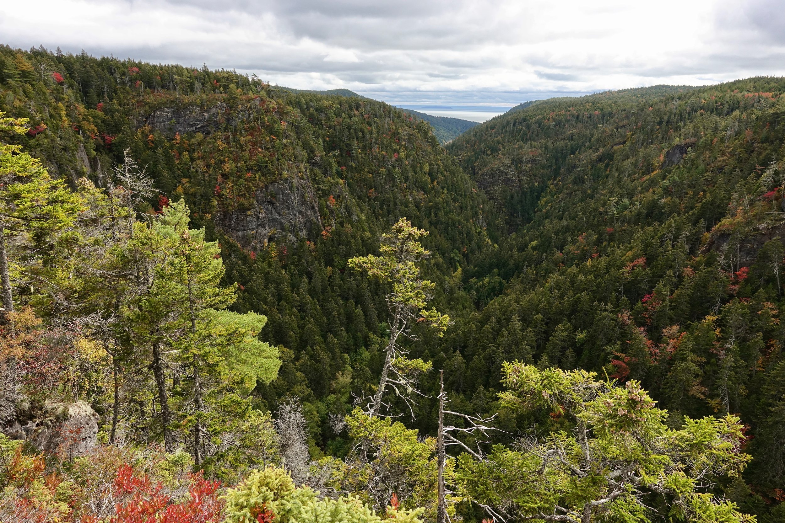
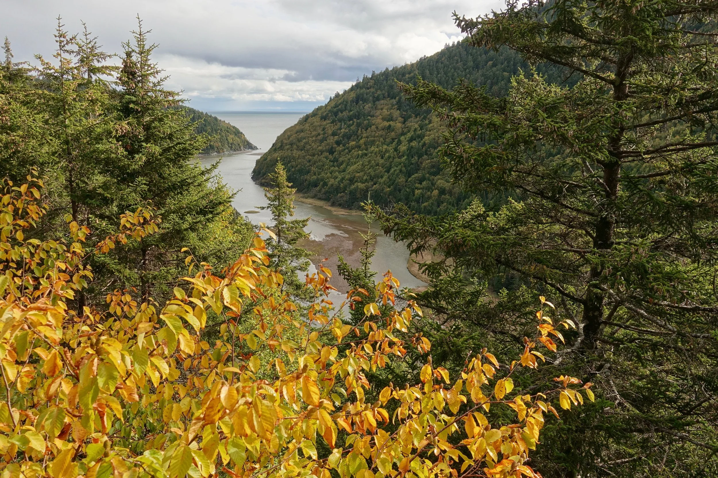
Most of the second day was off the Fundy Footpath exploring the Walton Glen Gorge area
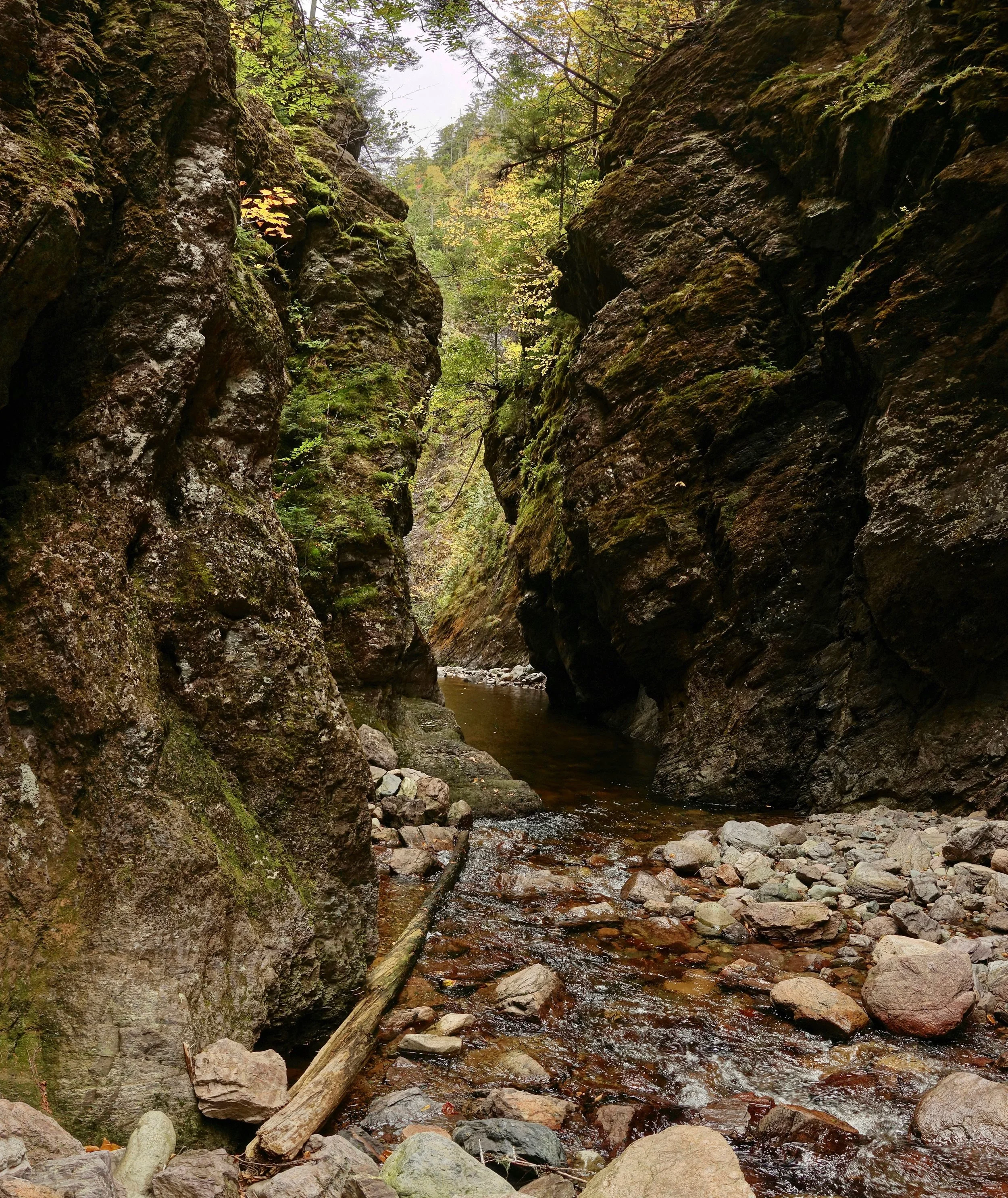
The pool in the Eye of the Needle was chest deep, a cold October swim to reach the Little Salmon River and reconnect with the Fundy Footpath
Little Salmon River
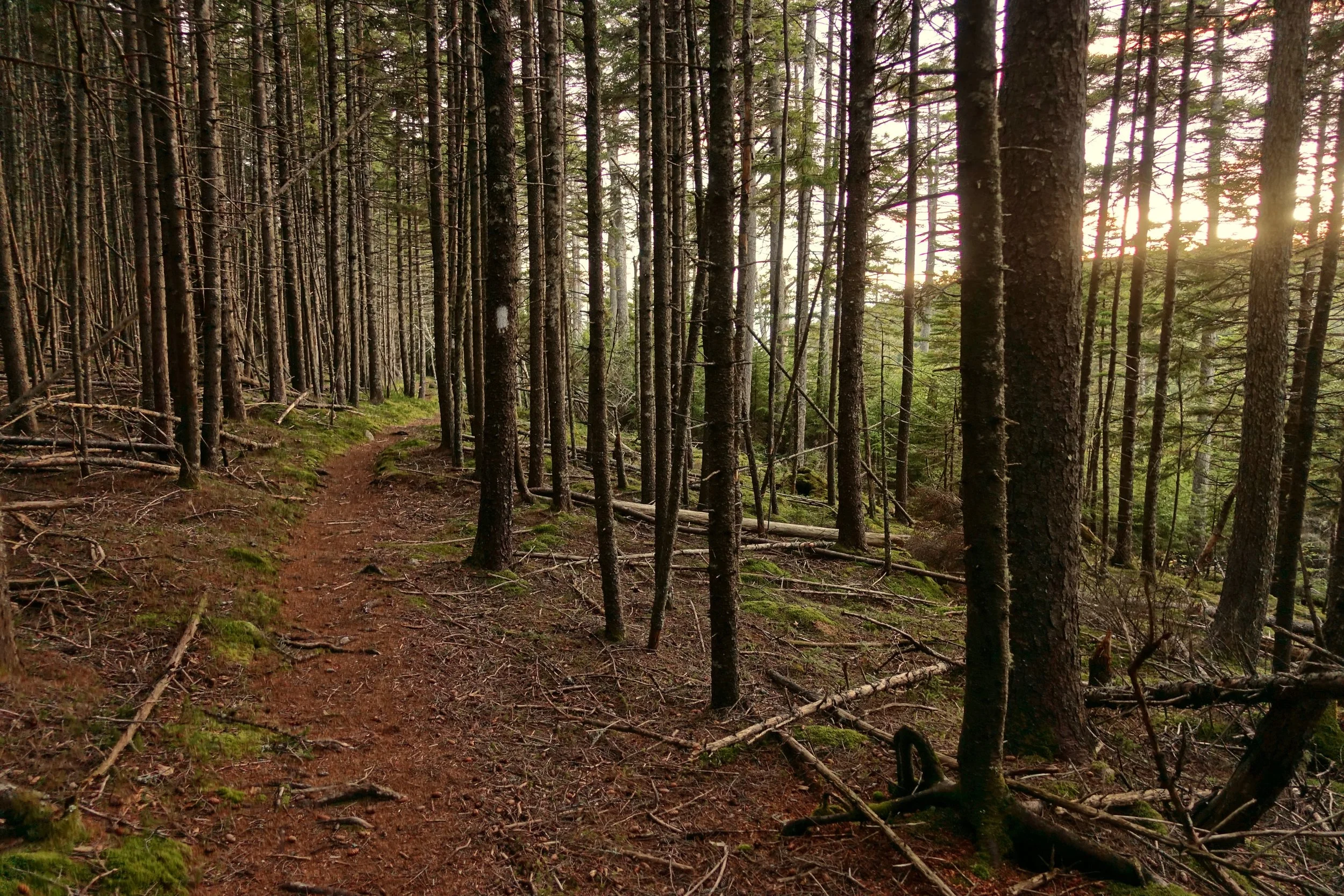
I continued until nightfall and stopped to sleep at Telegraph Brook
The low tide route from Martin's Head to Goose Creek was easier than the Seely Beach route with some simple boulder hopping. This route also bypassed the hornets
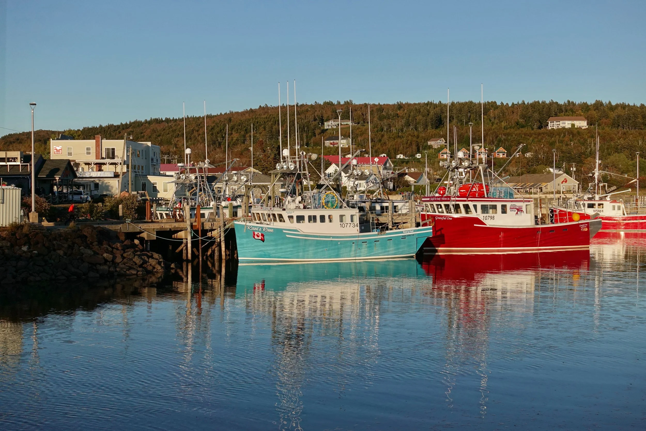
From Goose River I took the Coastal trail in the National Park and arrived in the town of Alma to enjoy some New Brunswick seafood and resupply for the second half of the walk

The Dobson Trail starts near Laverty Falls and connects Fundy National Park to Riverview, a town just south of the major city of Moncton
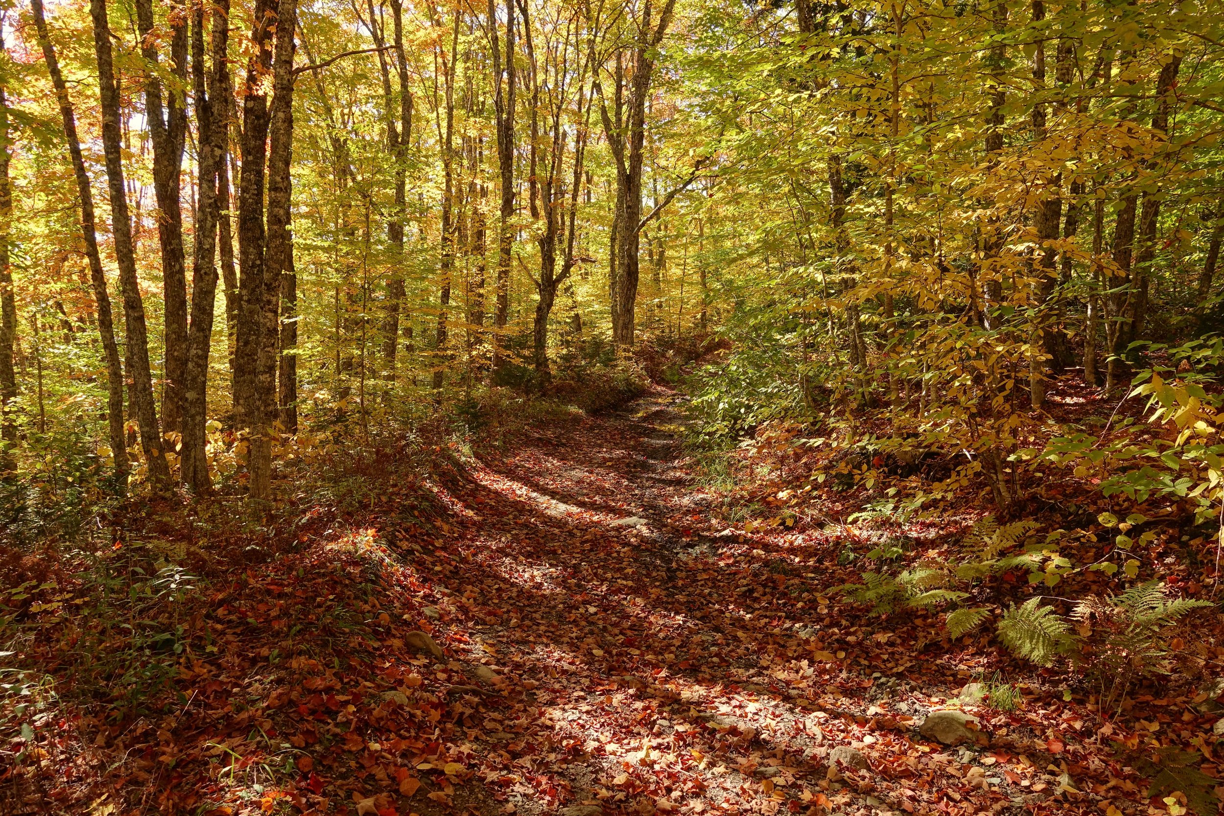
Fall colors along the Dobson
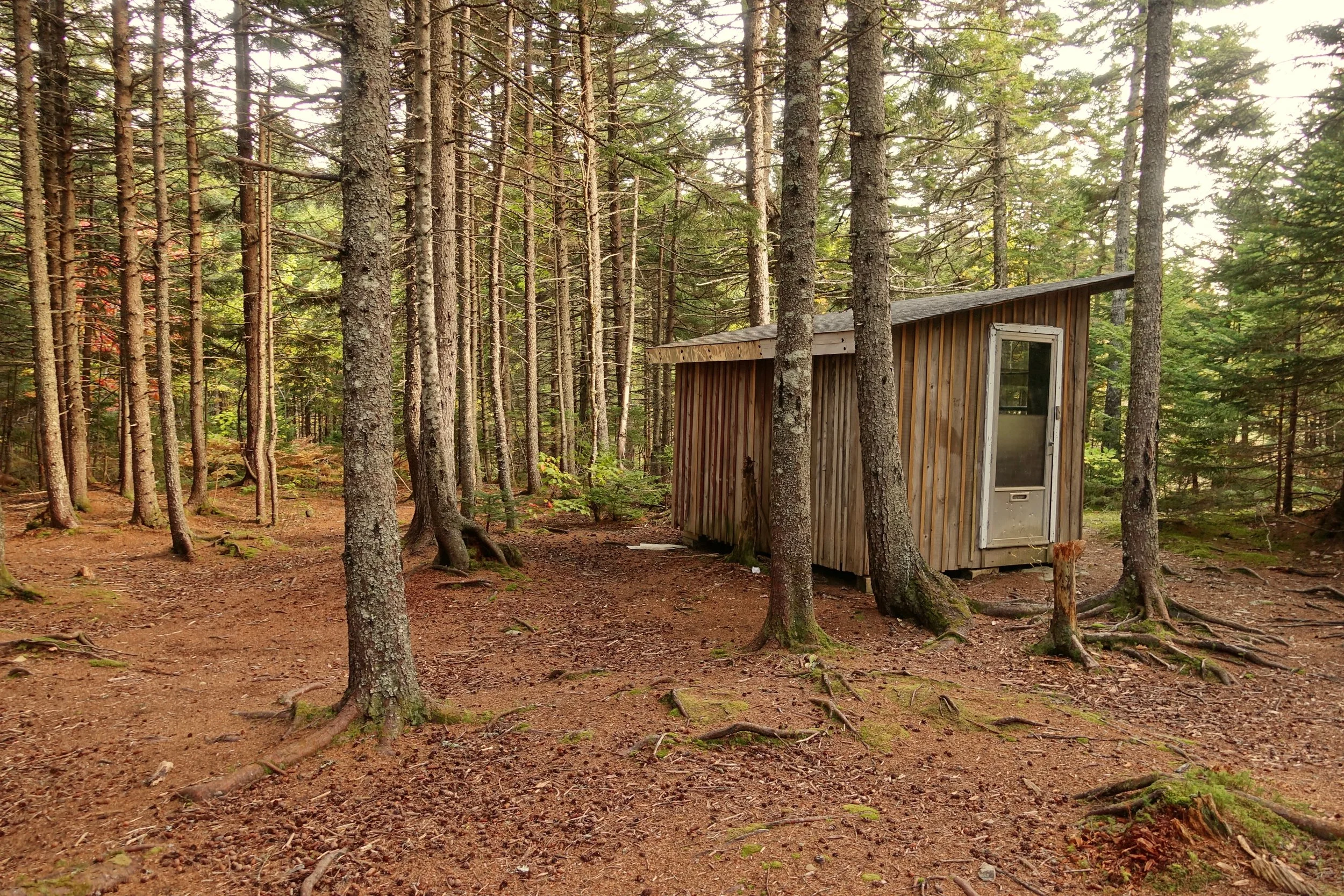
The cabin at the 35 kilometer mark where I stayed for the night to get out of the incoming storm. The final day was slow and laborious in the rain through the low elevation bogs to Riverview
Churchill Wild Polar Bear Safari
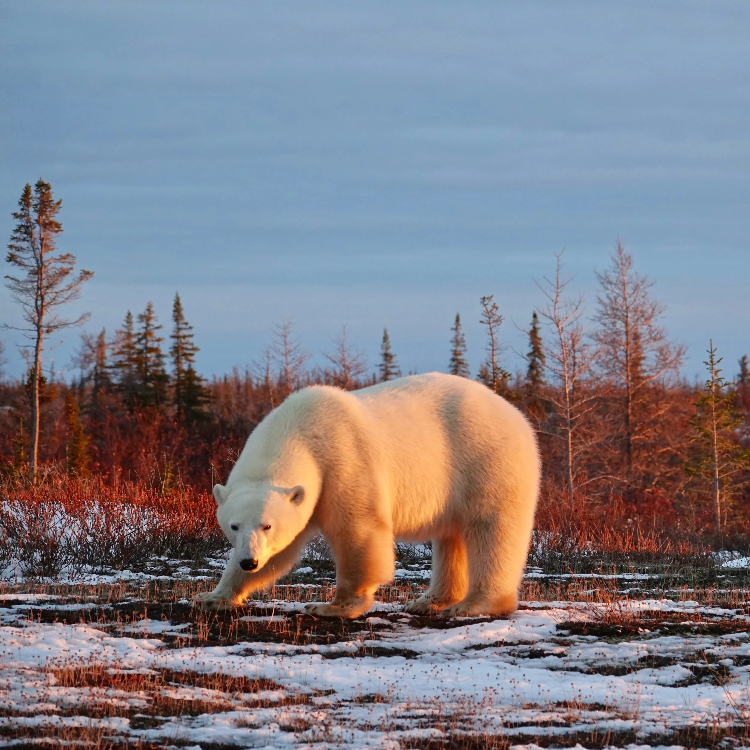
In early Novemeber, I spent a week with Churchill Wild. Each day we would hike on foot in the morning and afternoon along the western shores of the Hudson Bay
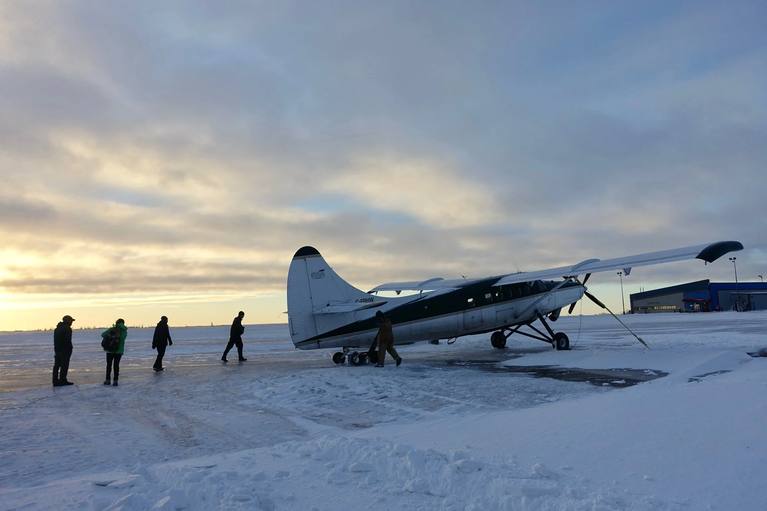
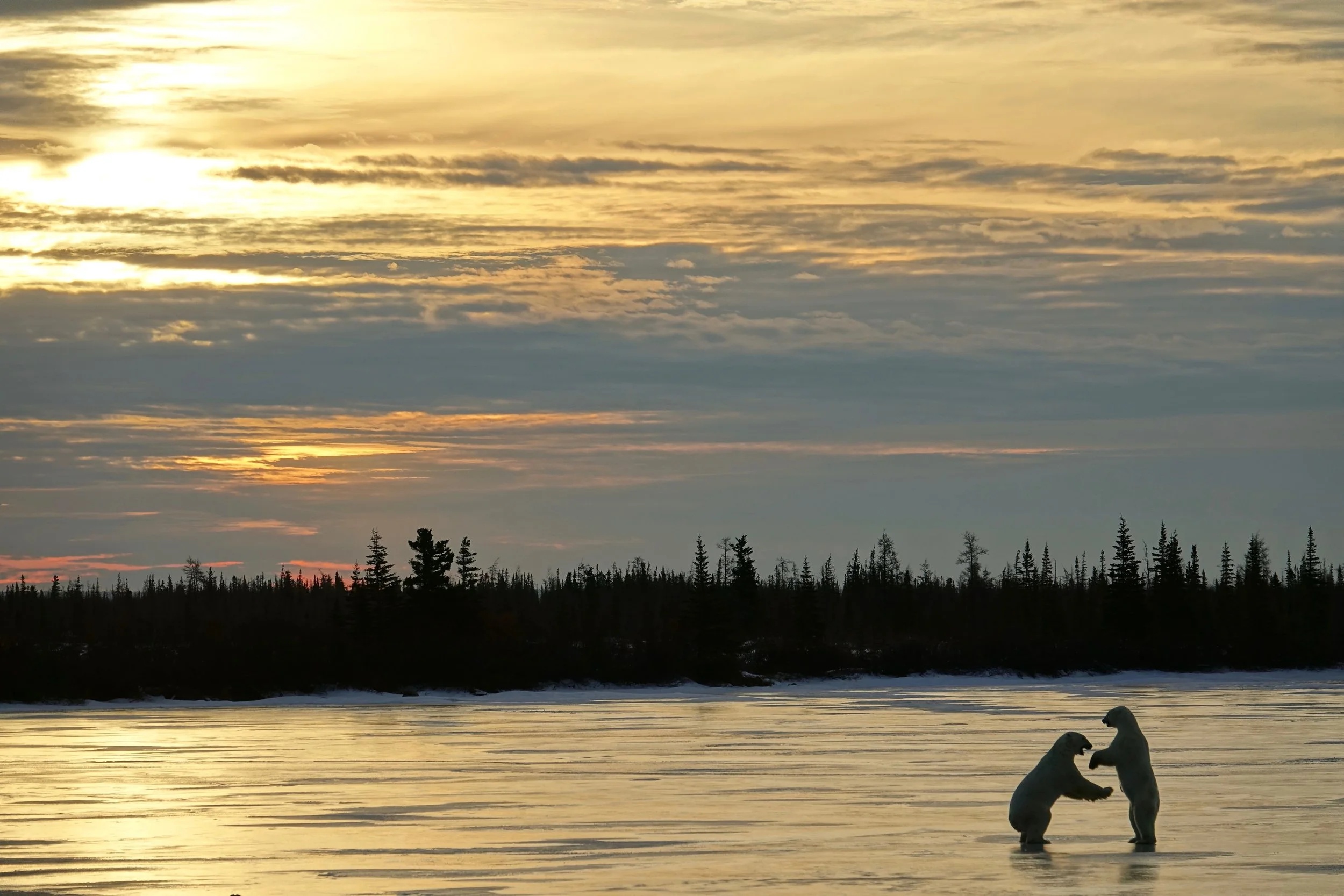
Wind storms kept us in Churchill an extra day, around sunset the pilot called and gave the heads up to fly to the lodge
Our guide Terry met us on the runway next to the lodge
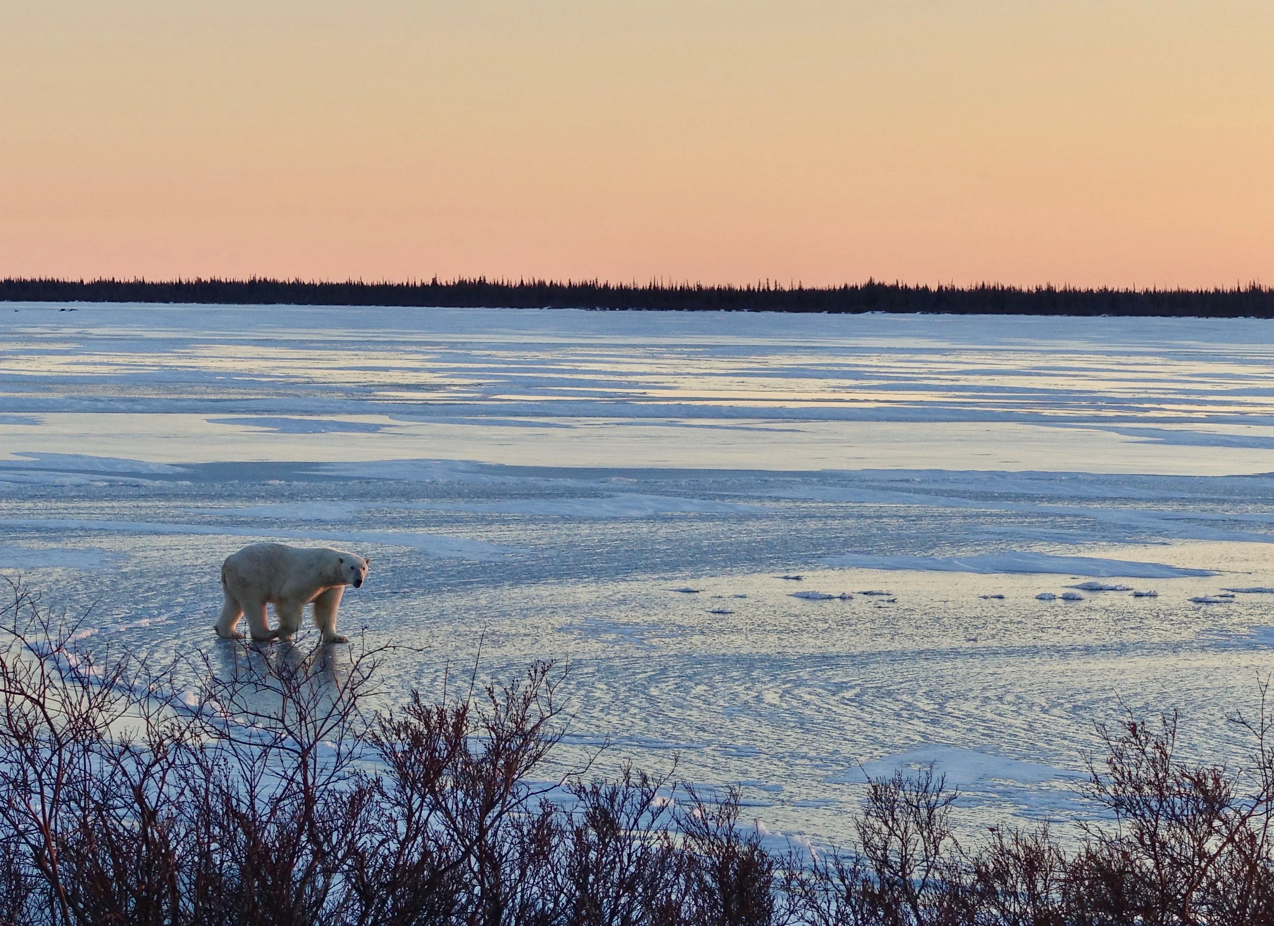
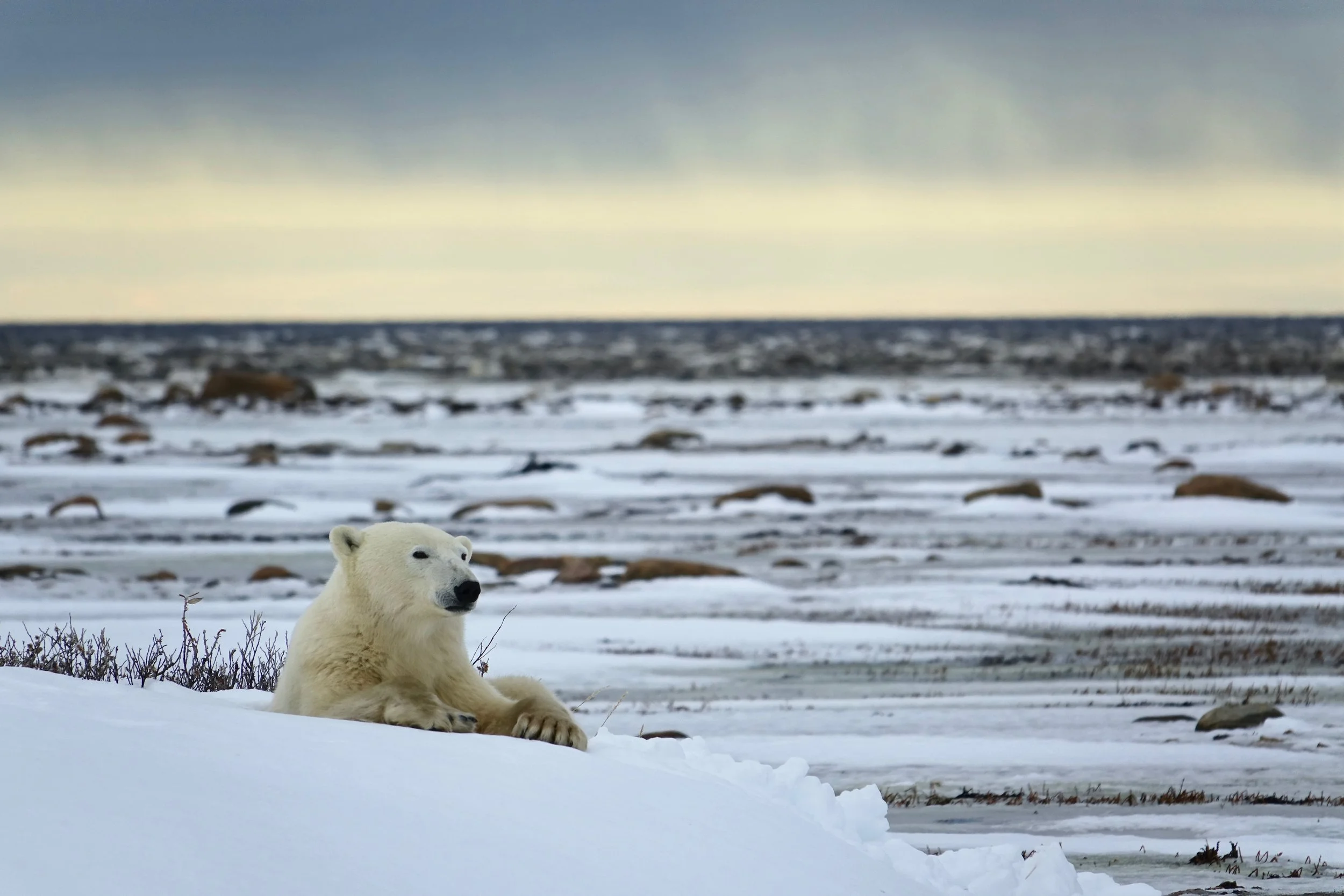
"Bear on the lake!" upon arrival to Dymond Lake Lodge
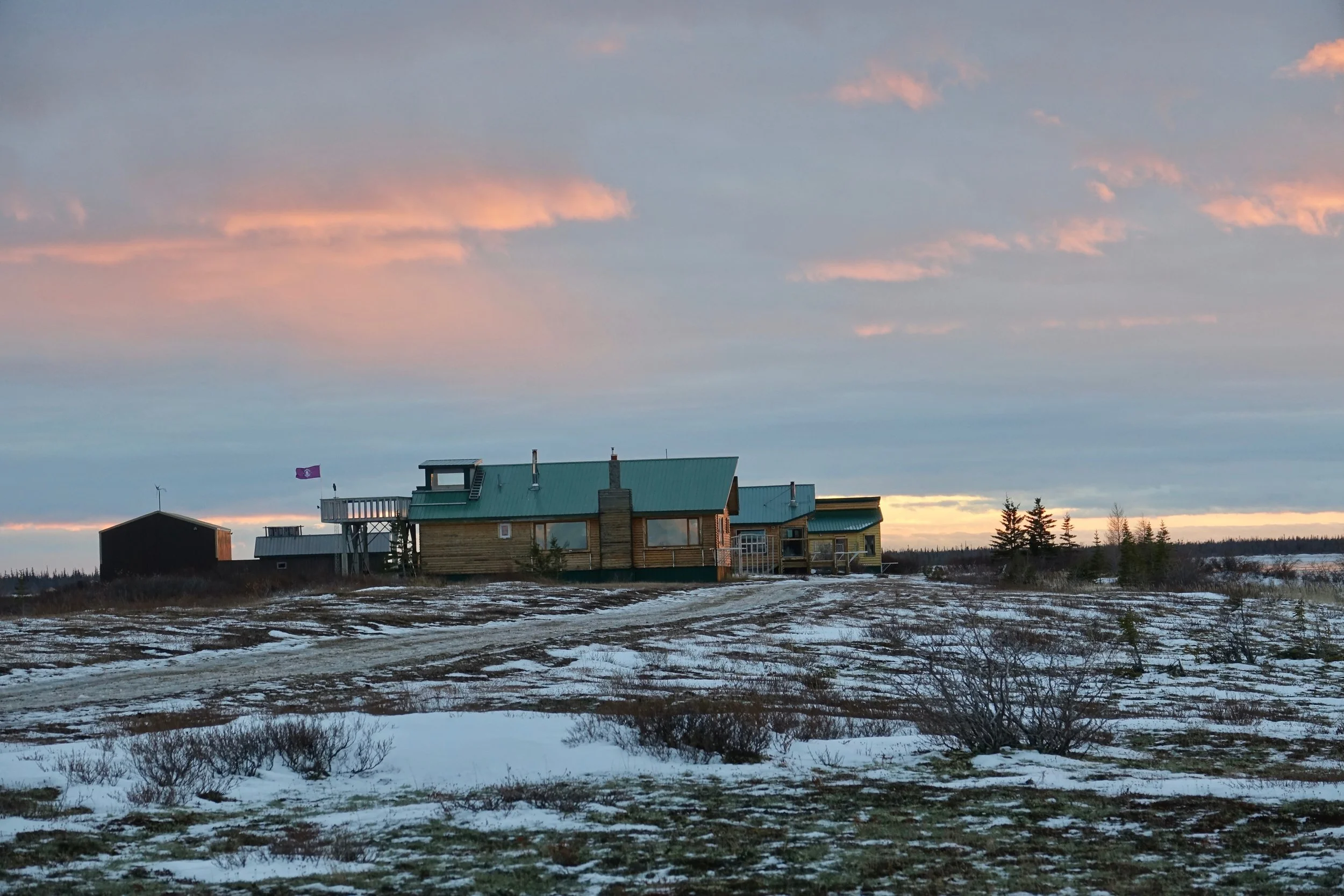
Dymond Lake Lodge
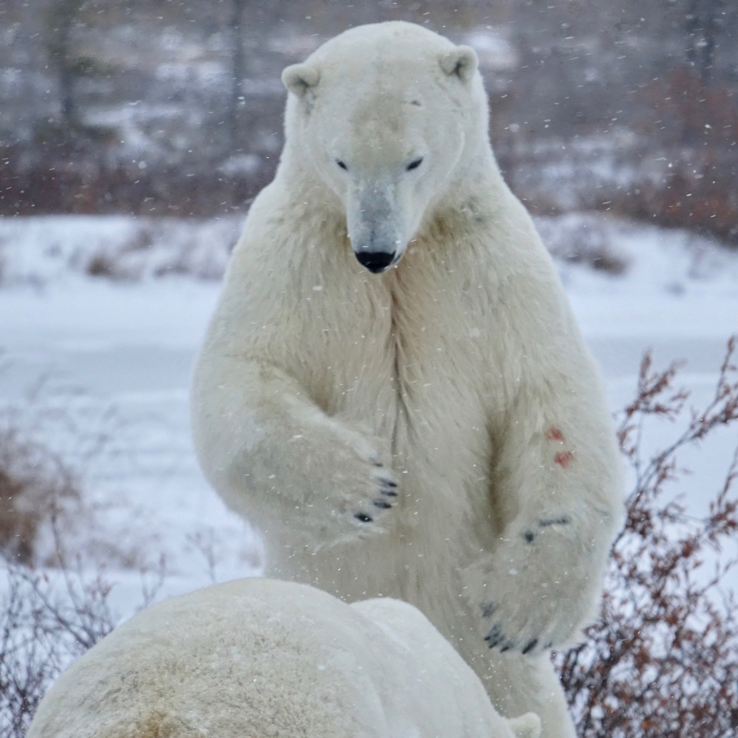
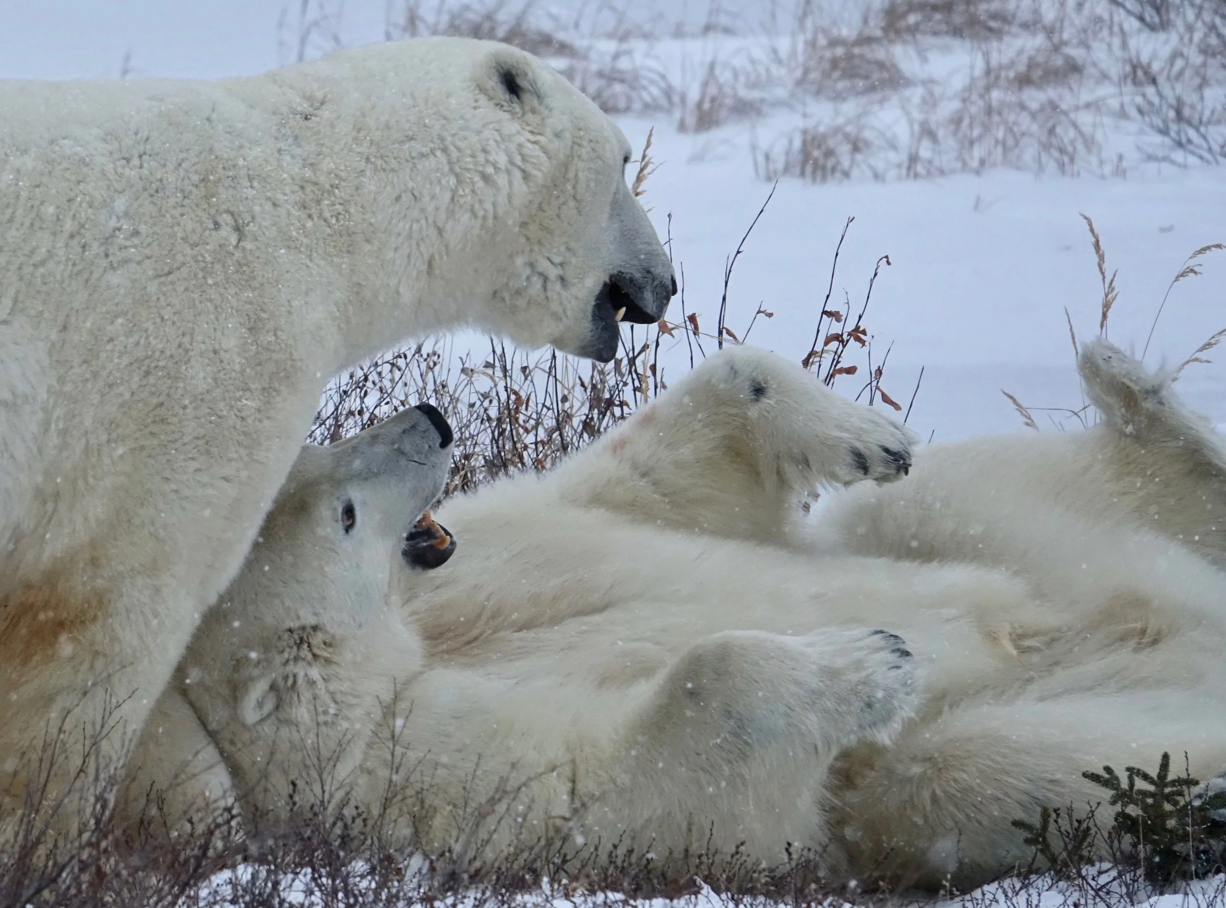
Even when biting and clawing one another, polar bears are silent no grunts or anything
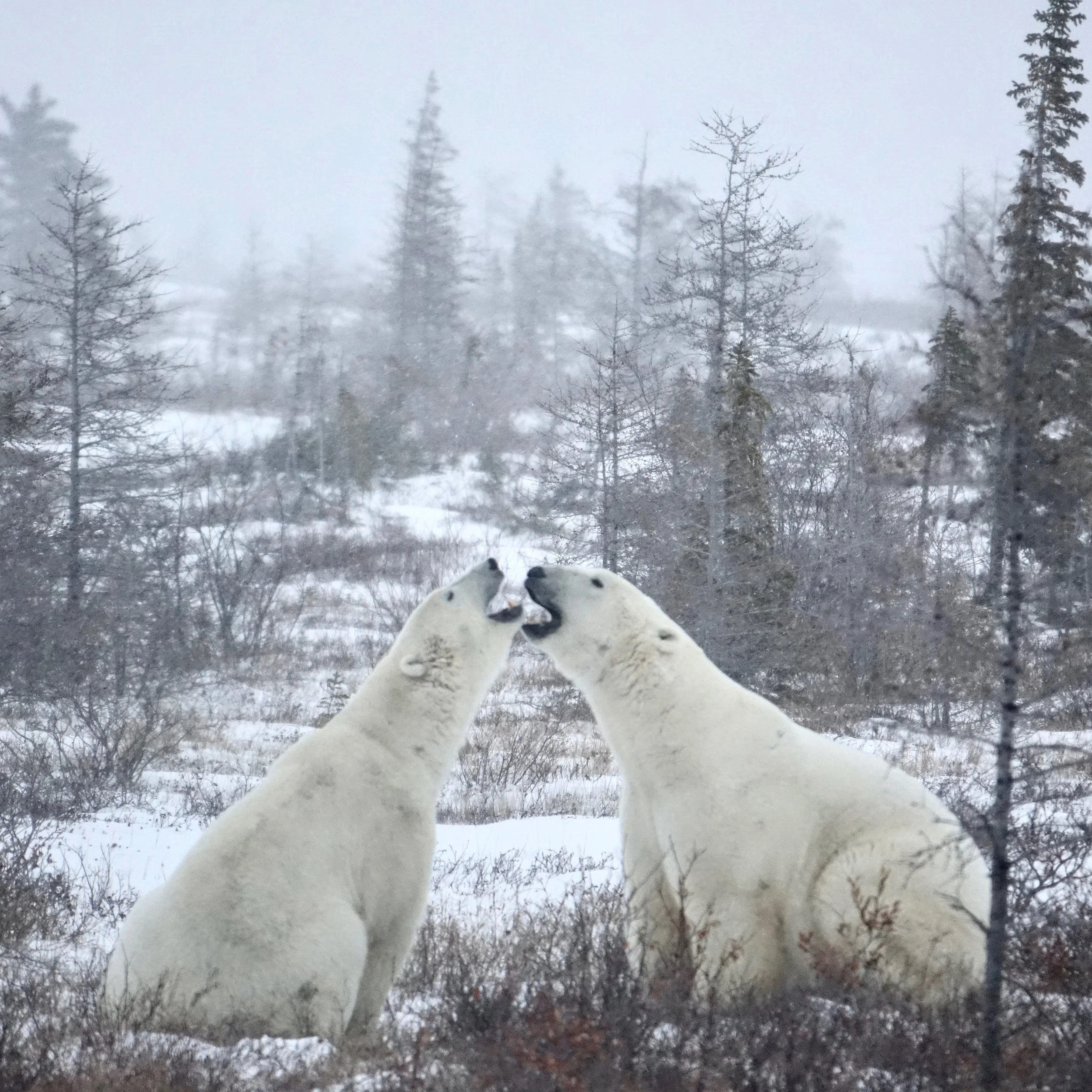
Kissing bears
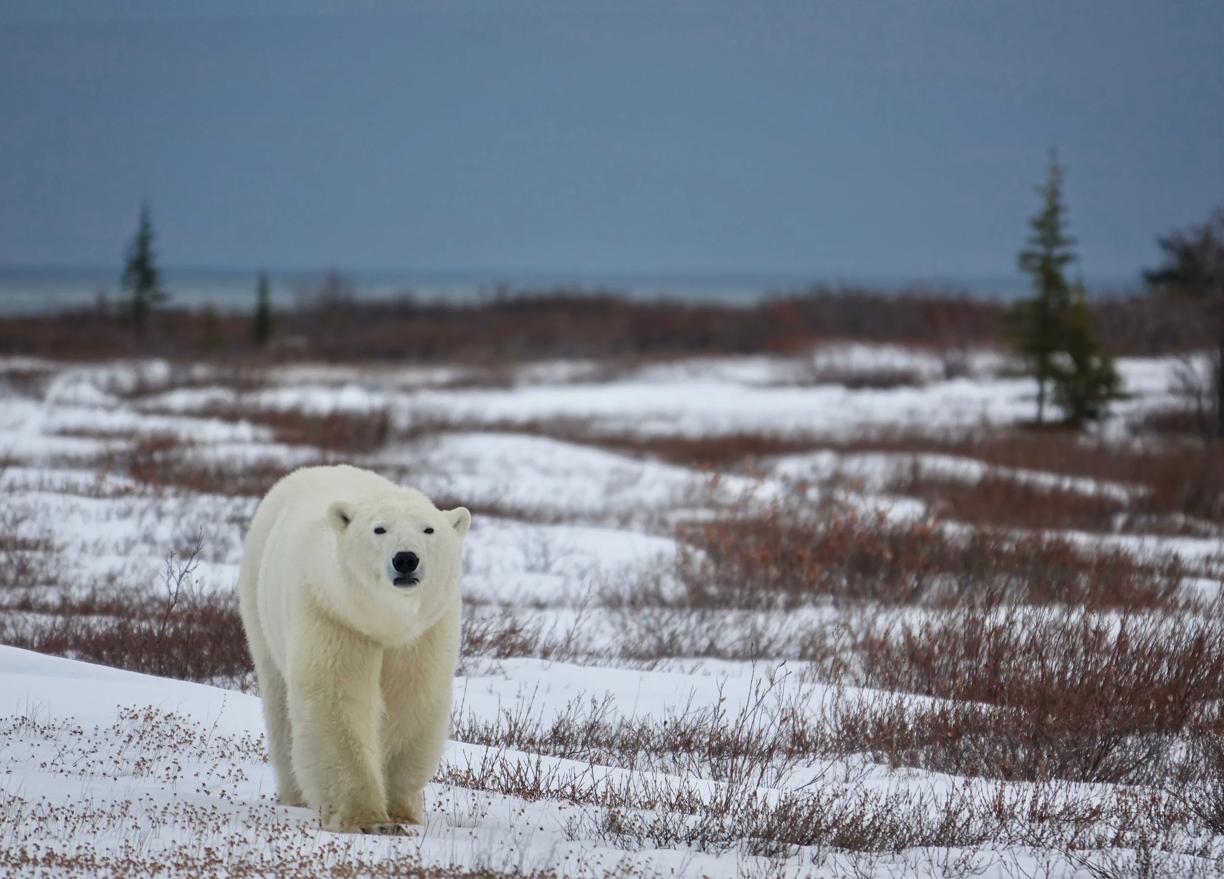
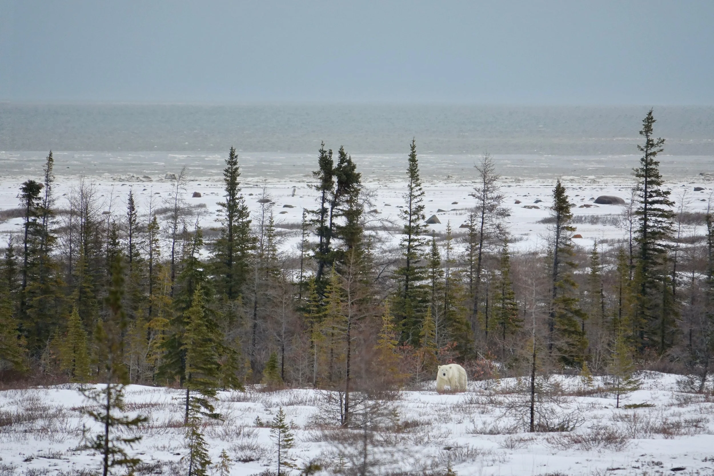
Looking towards the Hudson Bay
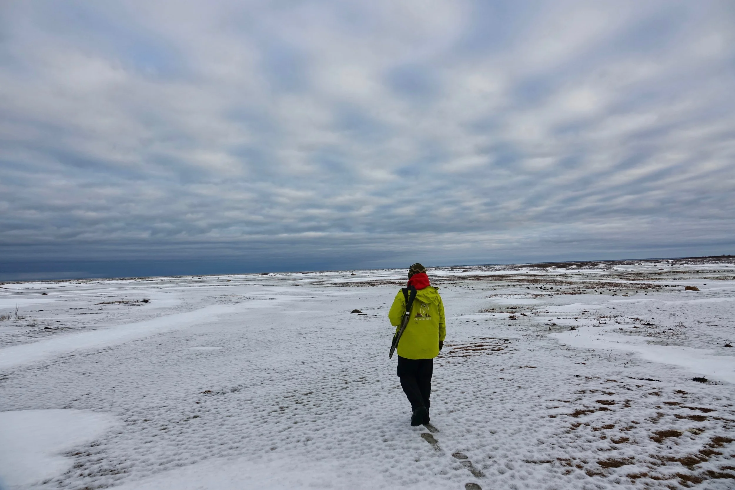
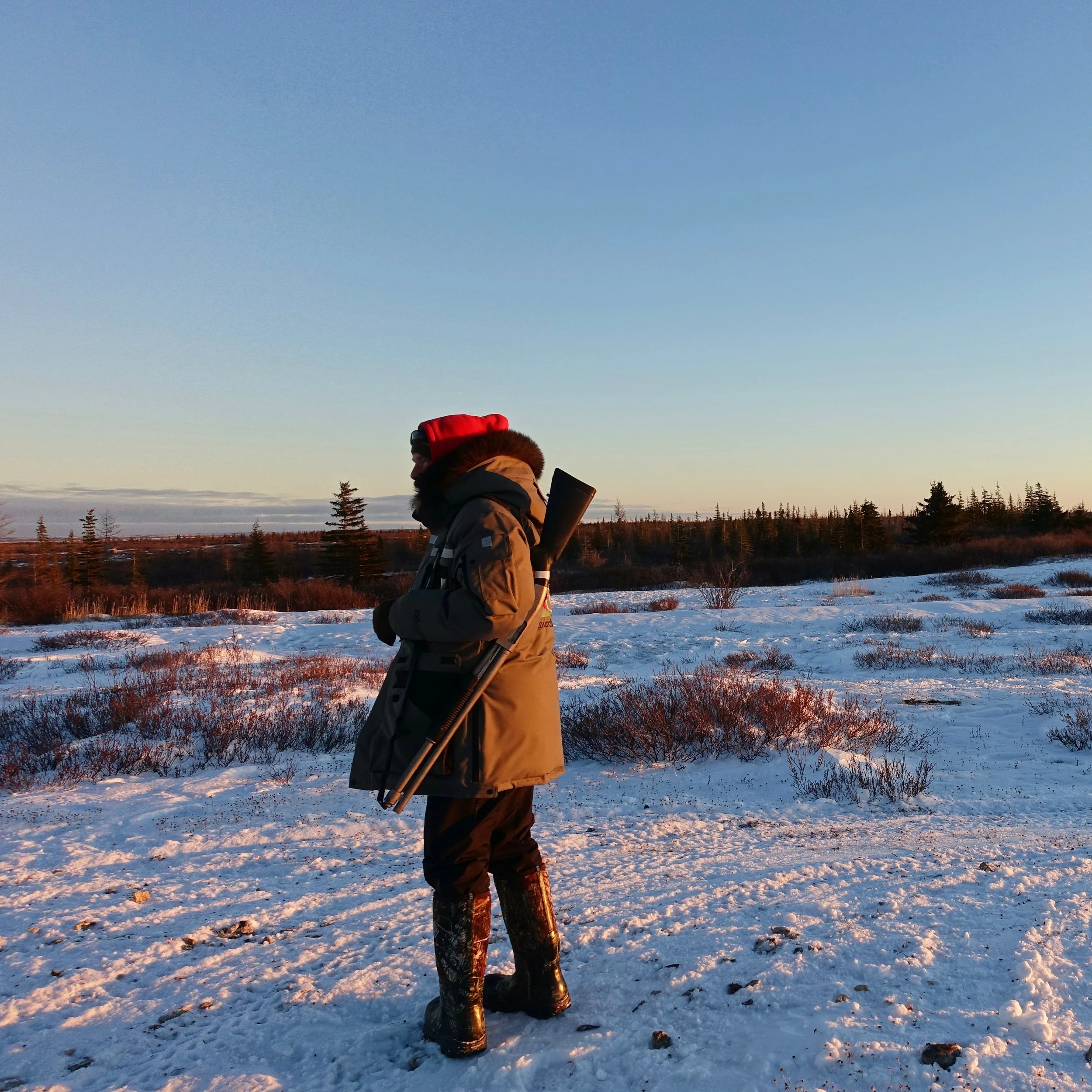
Terry was always in the lead with an assortment of weapons
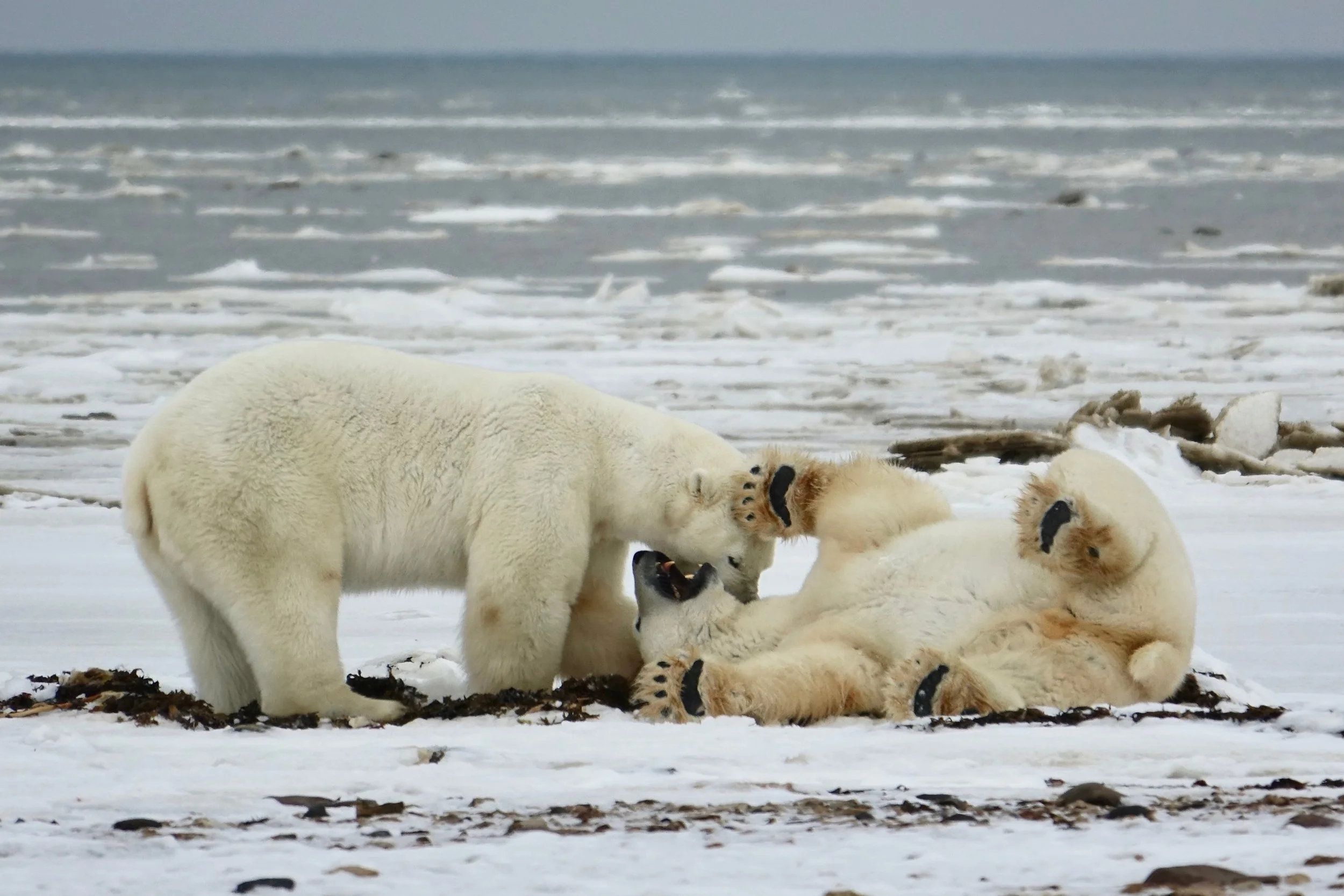
Polar bear “high five”
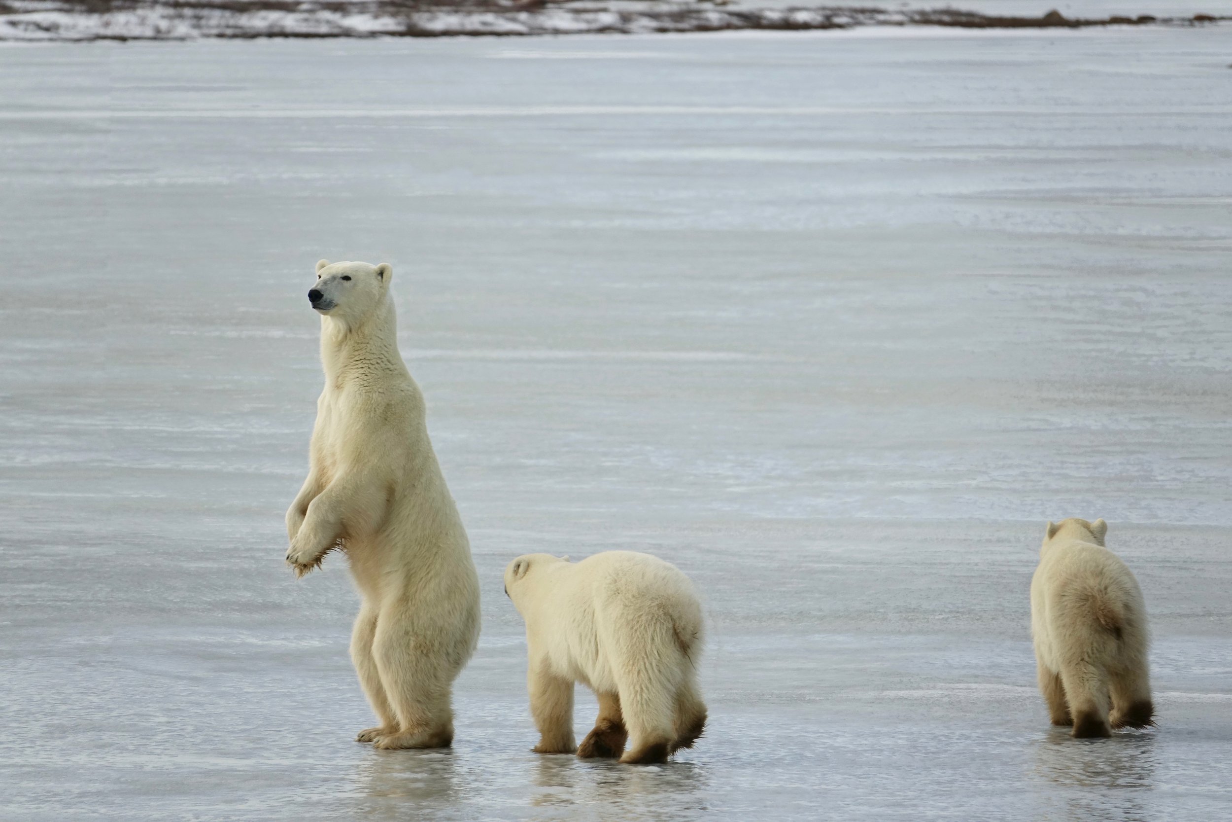
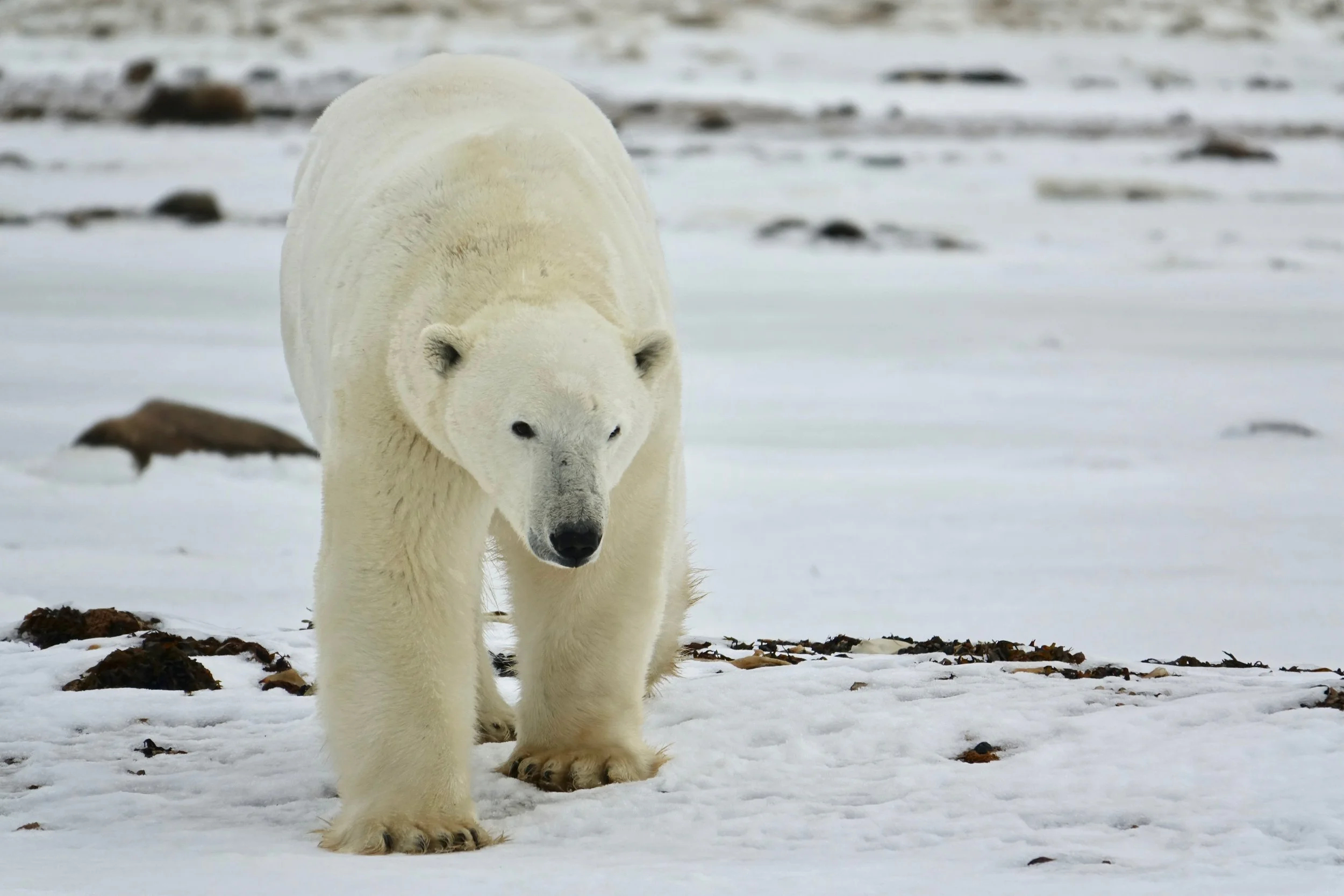
On the final day we followed a mom and her two cubs. Mom stood up to get a better view of an approaching bear as the cubs started to run away
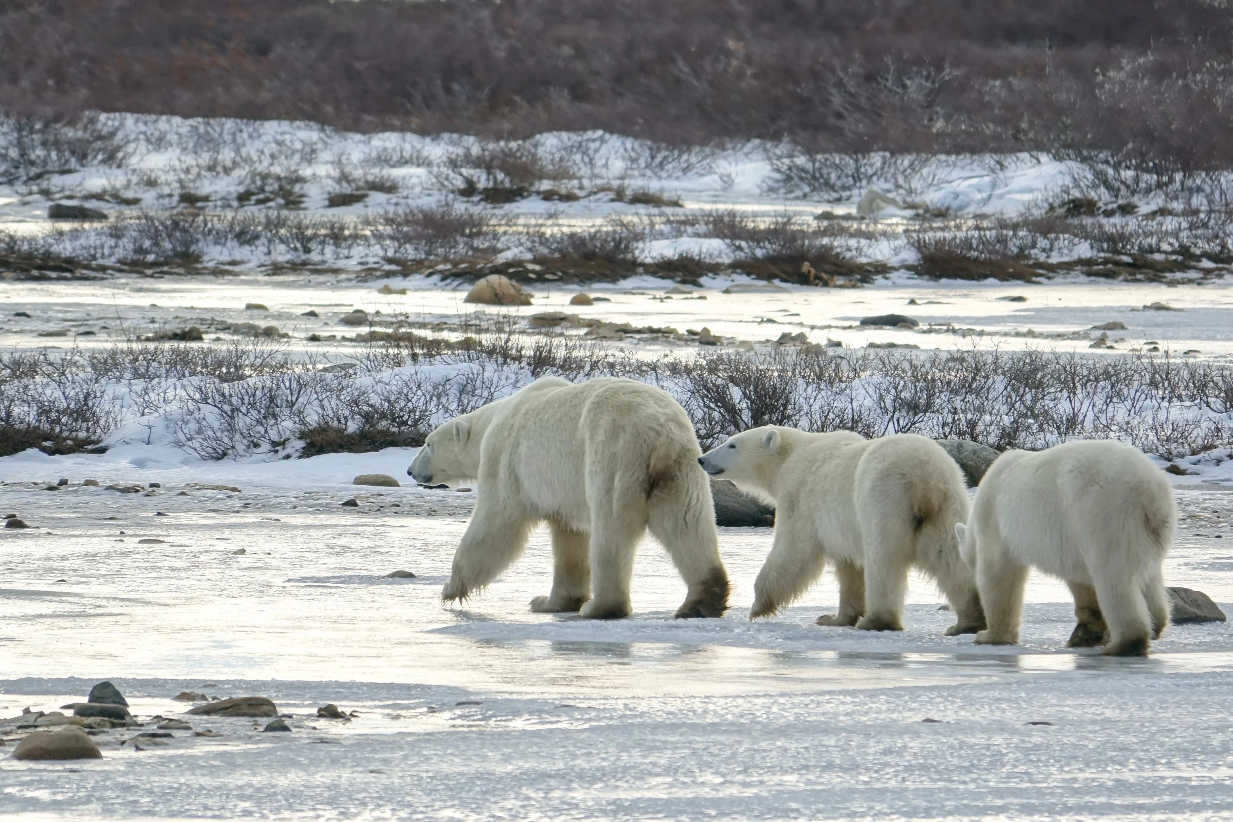
Likely the final summer together for this family, after two years cubs are usually on their own.
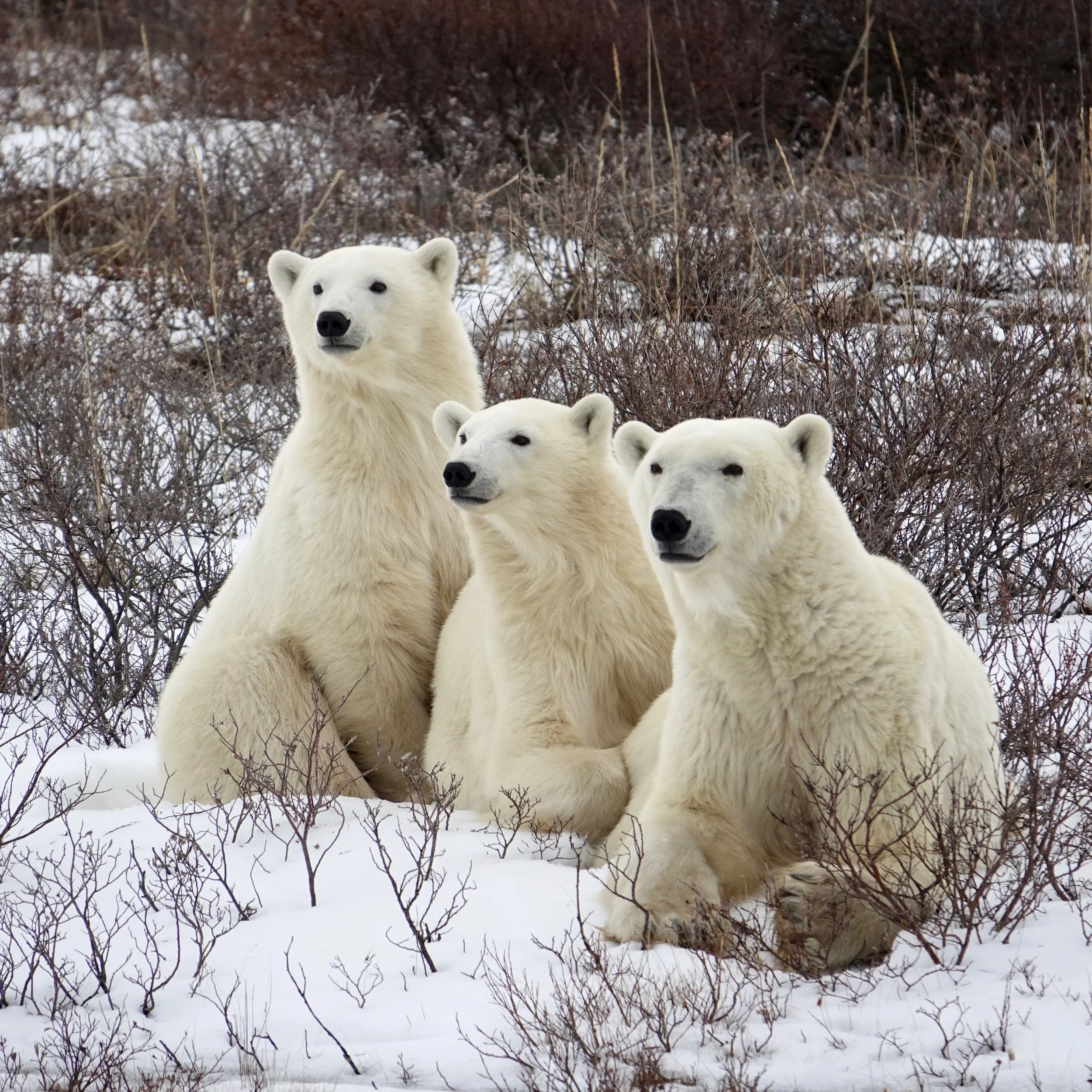
Family portrait