Great Lakes
Isle Royale Packraft
Isle Royale Packraft
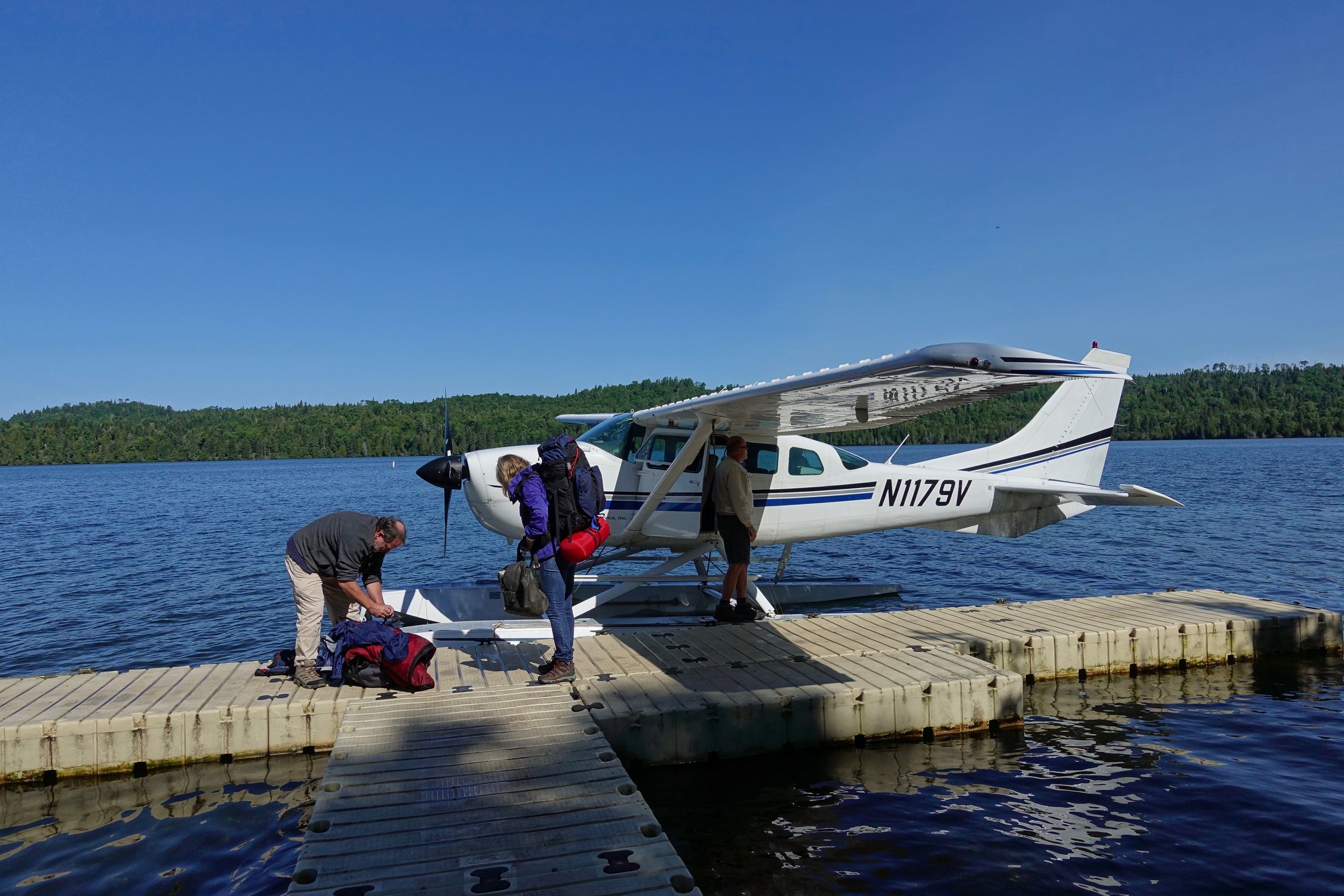
A seaplane dropped us off in Windigo where I started a seven day packrafting trip across Isle Royale National Park in July
The trail to Feldtmann Lake from Windigo

Rainbow Cove beach
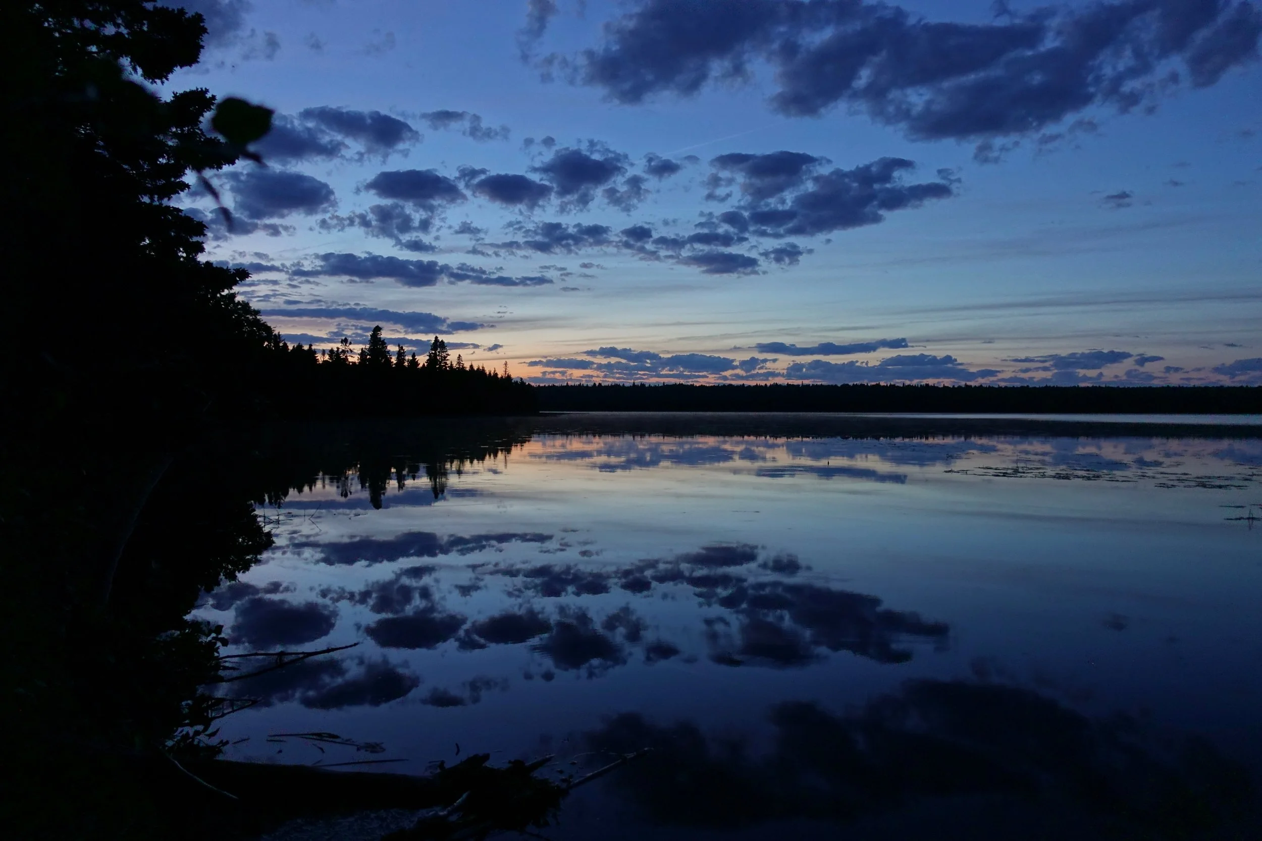
Feldtmann Lake Sunset
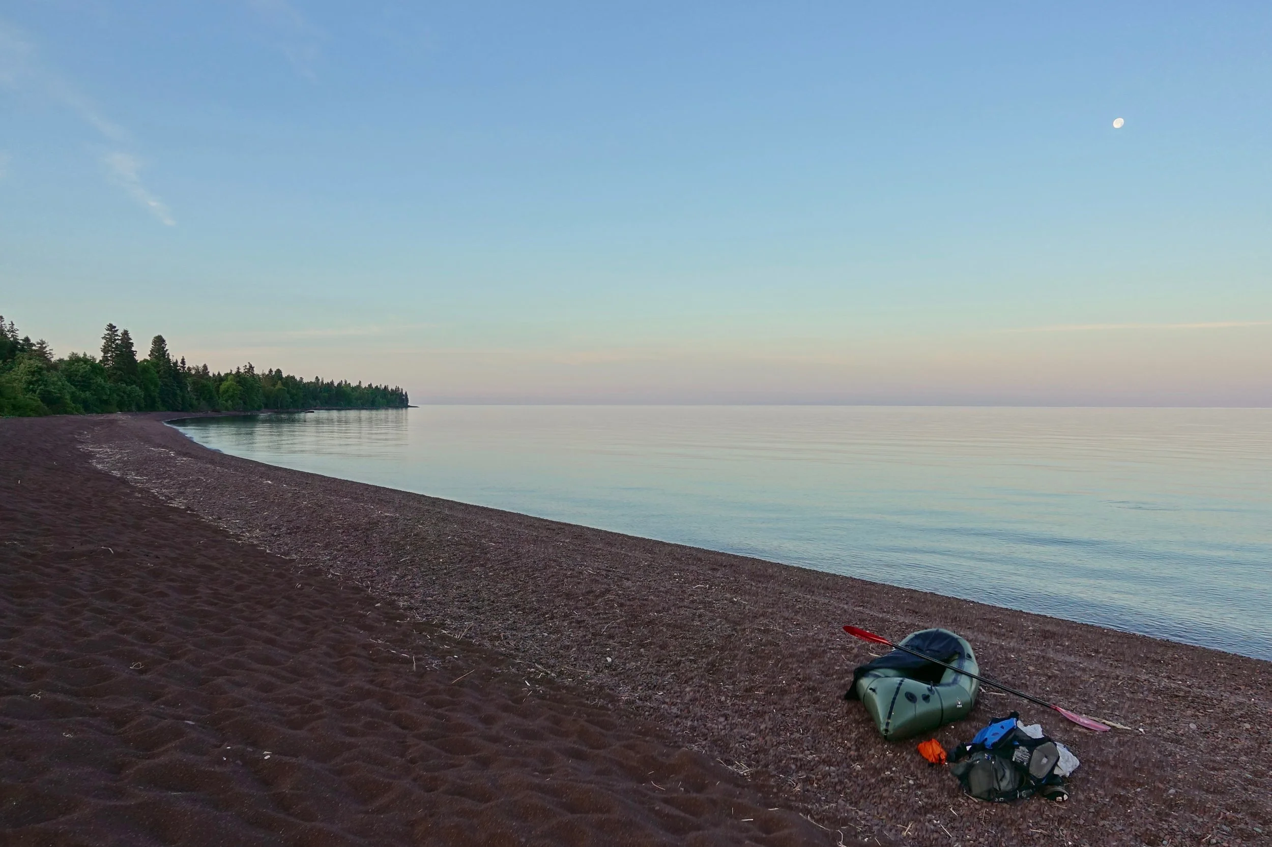
Calm water on Lake Superior at Rainbow Cove. I started a 20 mile paddle here to Siskiwit Bay
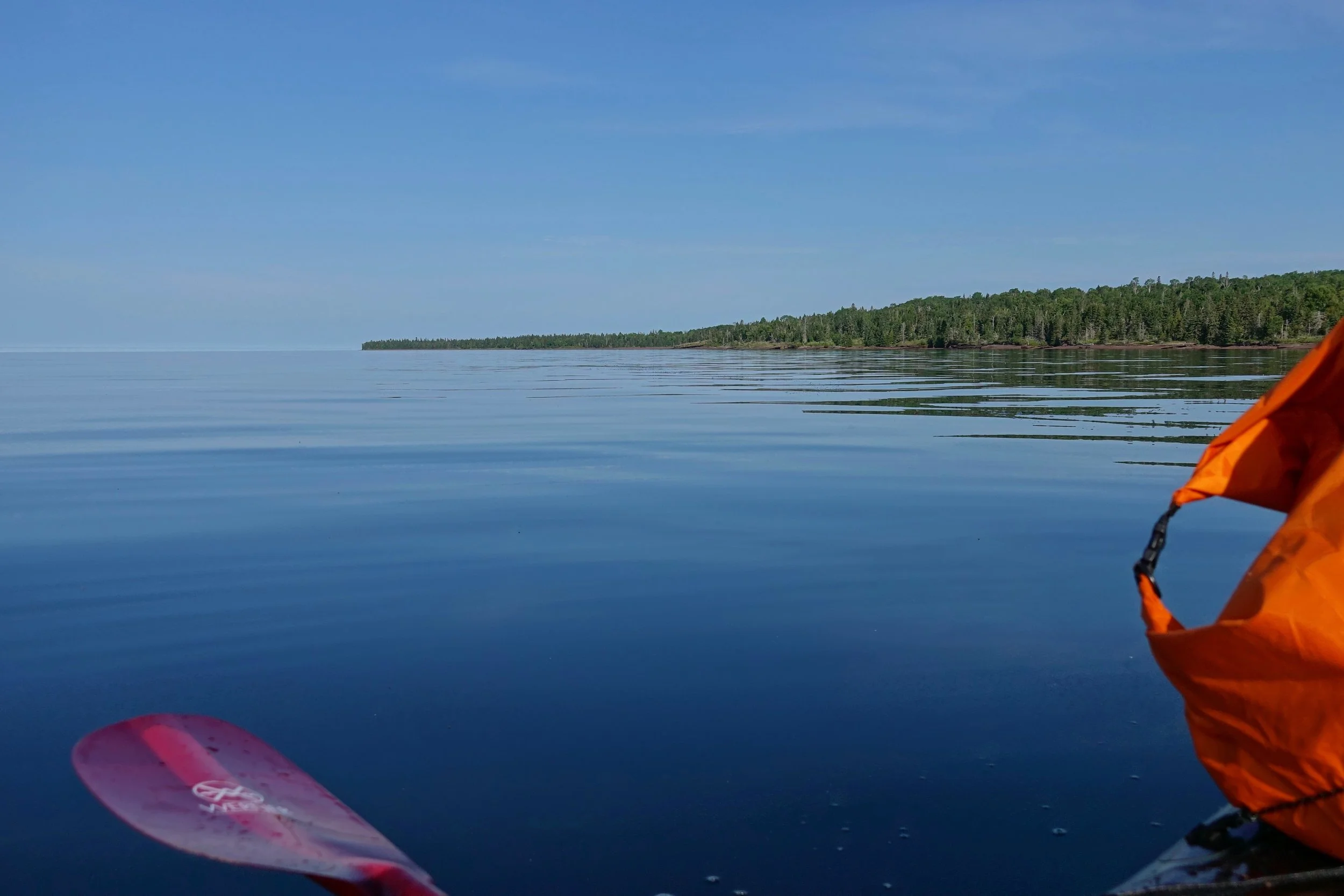
It was hard work from Rainbow Cove to Long Point, then I got the westerly wind that was predicted. I was lucky to have the perfect conditions here, I would not have attempted this section on a bad day
Shelter at Siskiwit Bay
There was hard rain for the next few days
I camped at South Lake Desor and the rain continued as I crossed the lake to the northern campground in the morning. The campground is not marked from the water and was somewhat difficult to find since only someone with a packraft would ever take this route.
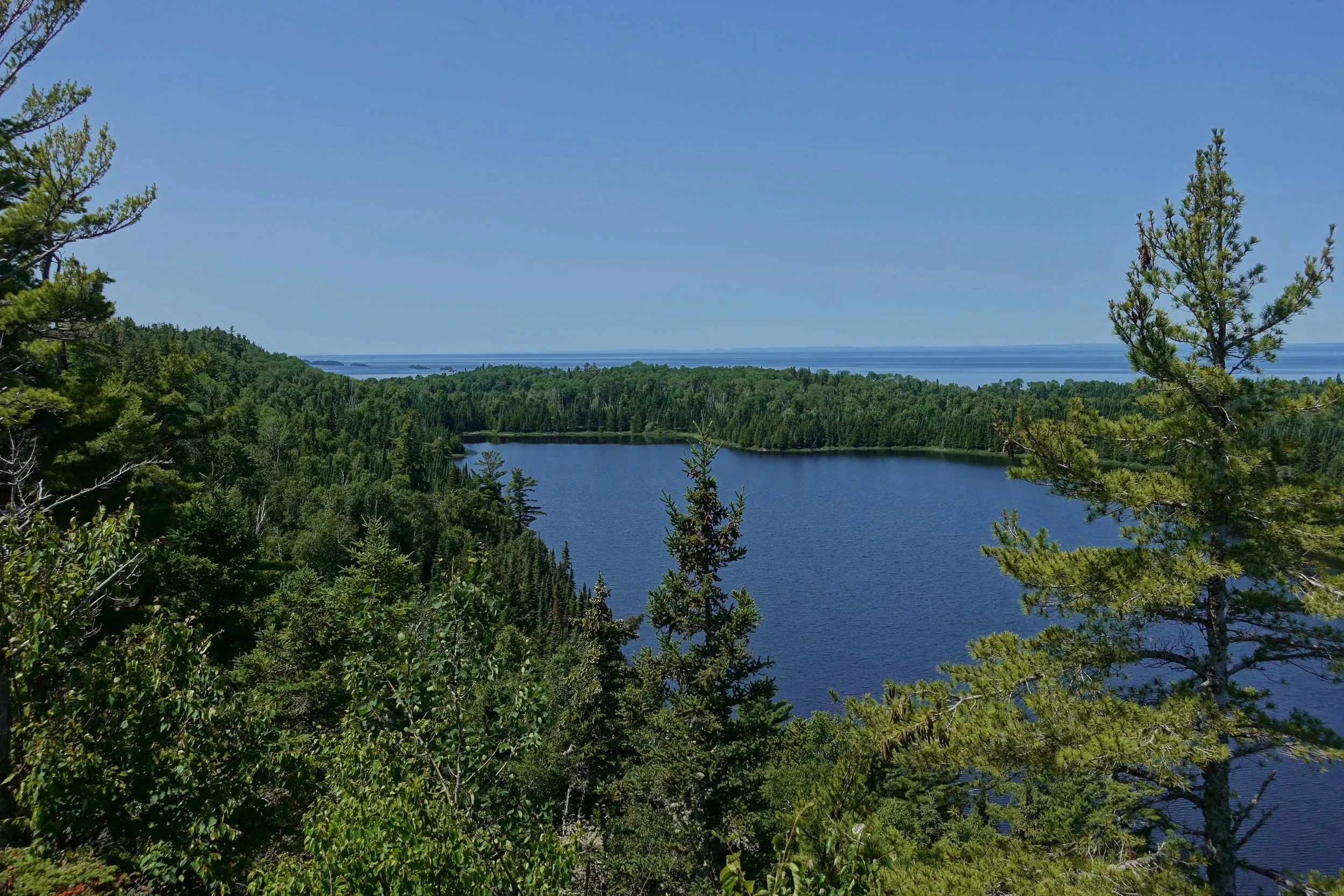
After camping at Todd Harbor, the weather was better the following day as I went along the Minong Ridge trail past Otter Lake (pictured above)

I took a break at McCargoe Cove to dry things out on the dock. My original plan was to paddle towards Birch Island and across the Five Finger region to Duncan Bay, but I would not have a way to get warm if another storm were to come so I instead hiked down to Daisy Farm and explored Rock Harbor, Tobin Harbor, and Duncan Bay.
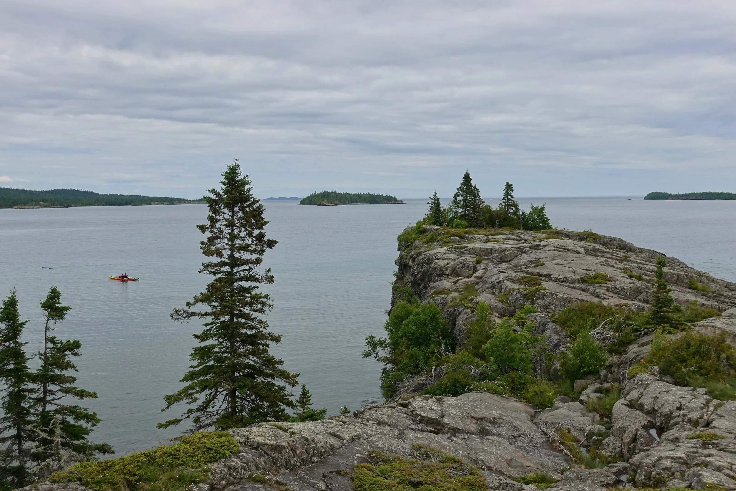
Scoville Point on the Three Mile Trail

Exploring Tobin Harbor
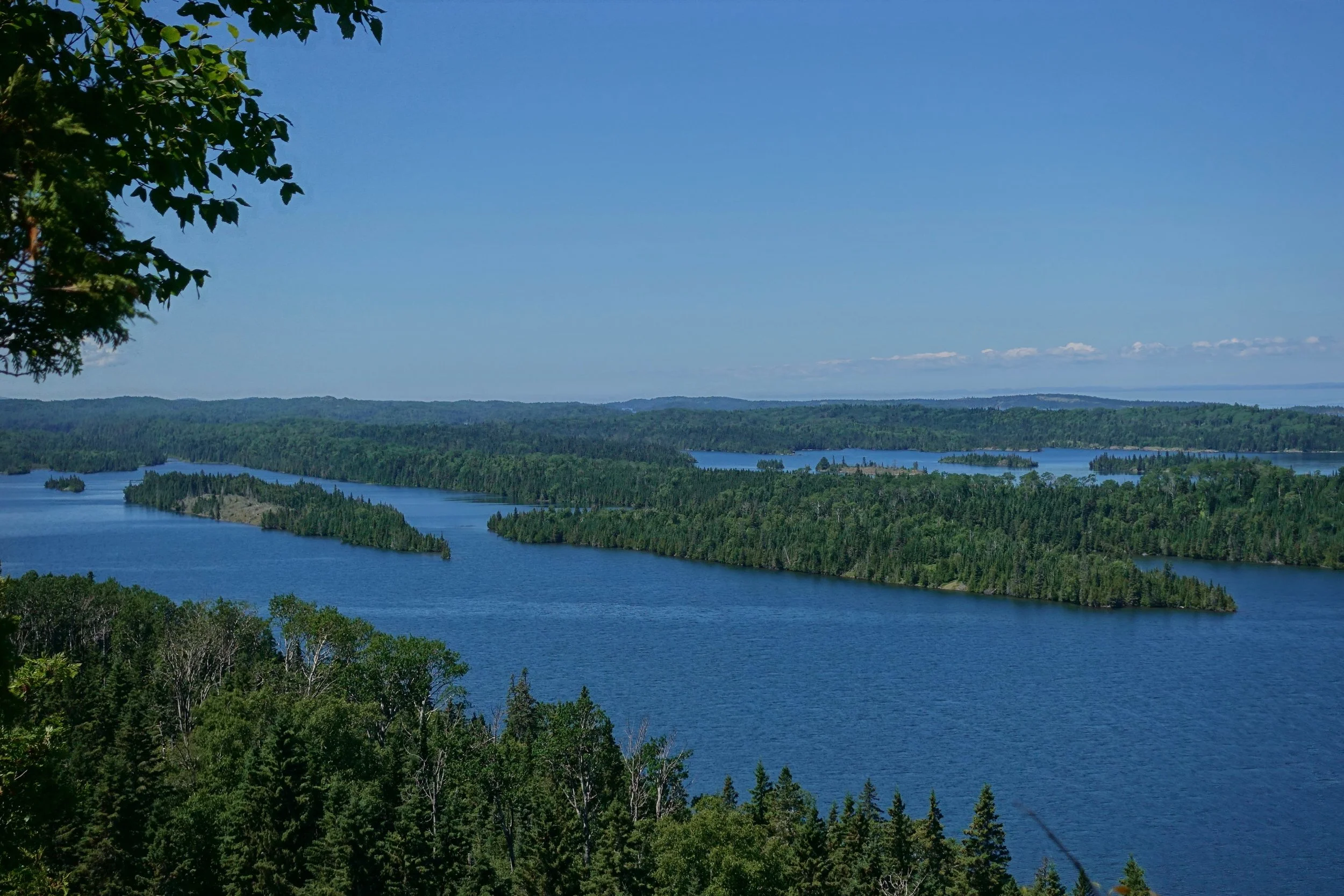
Lookout Louise with a view over Duncan Bay
Flight back home above the islands lining Rock Harbor
Below are the maps with my actual route (red) and ideal route (blue) if the weather and winds were perfect every day. Overall about 60 miles of hiking and 25 miles of paddling were covered over seven days. For a packraft, wind to your back is really required if going in open water for long distances. The best way to see this park is by water, even the elevated Greenstone Ridge trail is mostly a forest walk and has no views. You would be disappointed to visit this park and not have some type of watercraft to explore.