Hawaii
Blue Hole Waialeale
Muliwai Trail
Blue Hole Waialeale Canyon (Kauai)
The trek to the "Blue Hole" is mostly rock hopping up the Wailua River. The river leads to the Weeping Wall, a cascade of waterfalls down the Waialeale Crater. Access to this hike is difficult so you likely will have the canyon to yourself. I parked at the Keahua Arboretum at the end of 580 and walked the extra miles in the morning. There is a good overview map on HawaiiGuide.com with landmarks to help navigate the turns in the access road
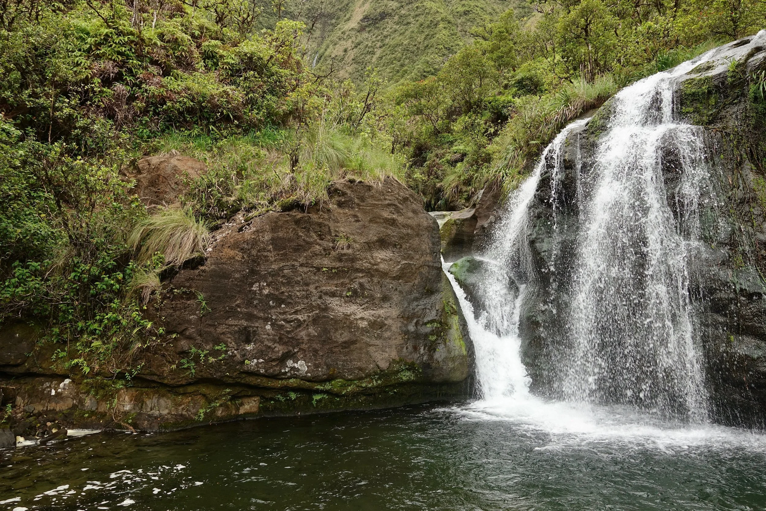
After reaching the end of the road, stay alongside the river until reaching this waterfall known as Guardian Falls. The correct paths should always be within listening distance of the main Wailua. If needed walk in the river itself until a path is spotted and avoid taking one of the hunter trails deeper into the forest. Climb the path on the left side of the picture above and continue along the stream in the center of the frame
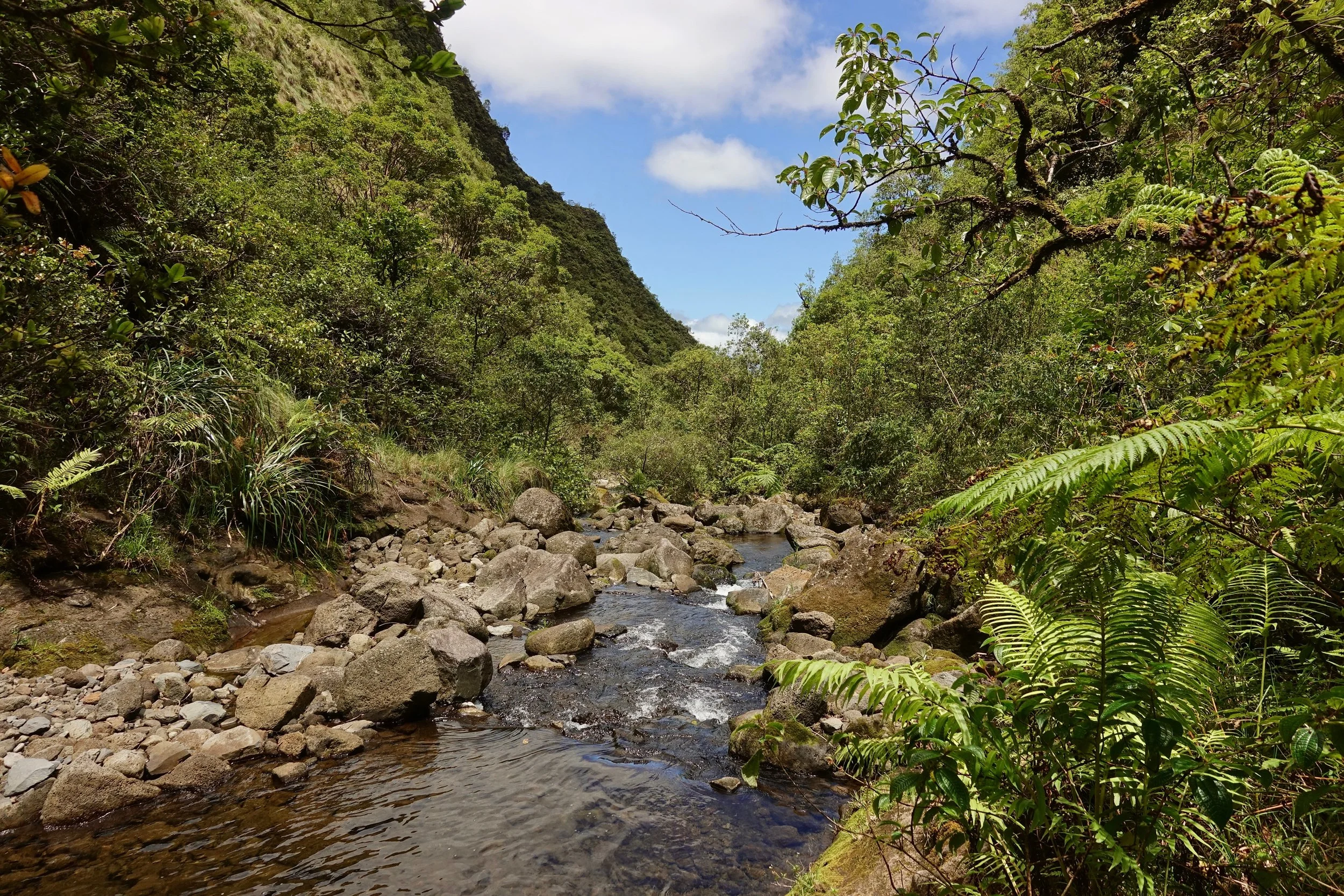
The paths are less defined after Guardian Falls, pink flags have been mostly removed as of May 2019
The easiest route is following the main stream in the northern canyon, a waterfall will come into view on the north face of the crater
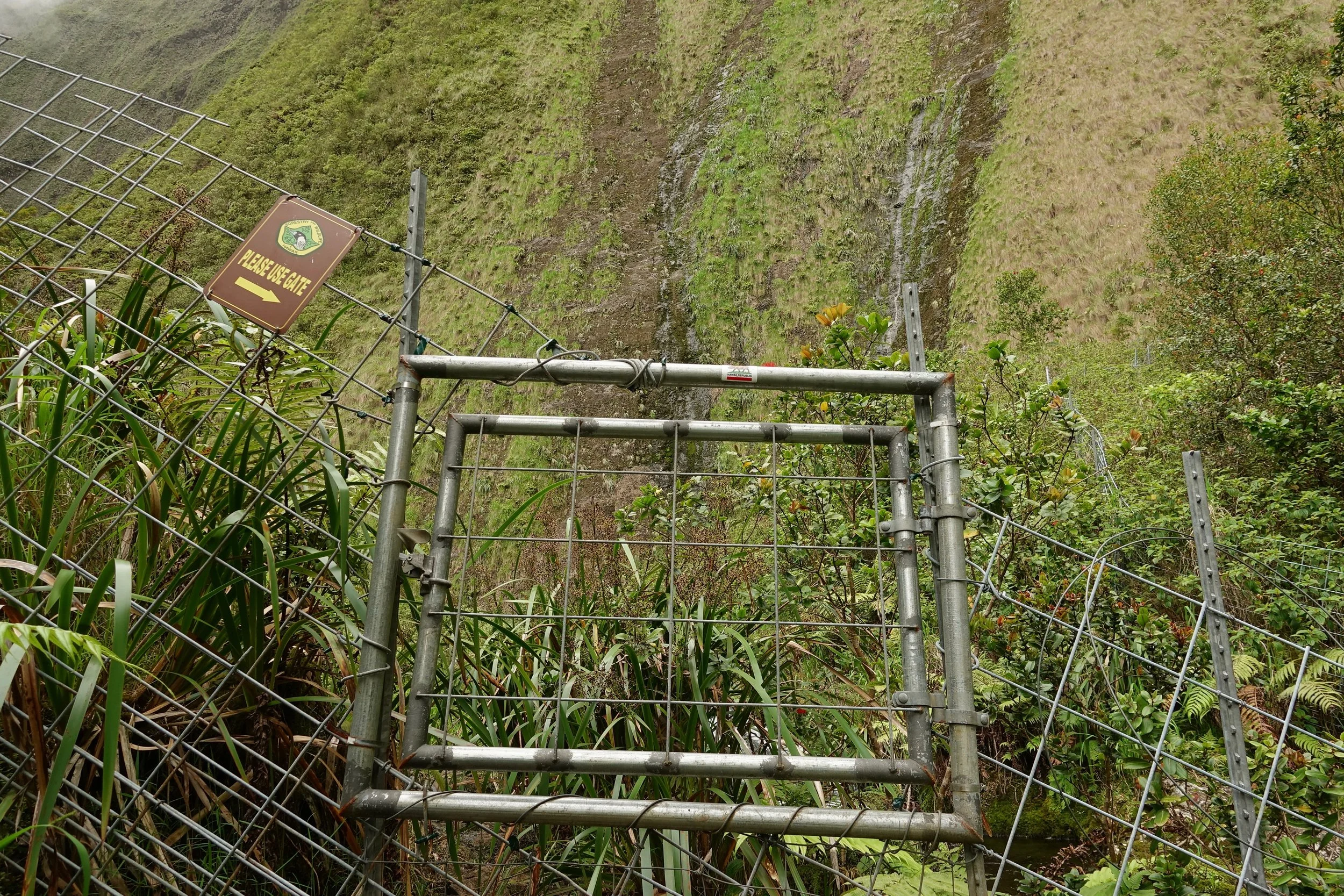
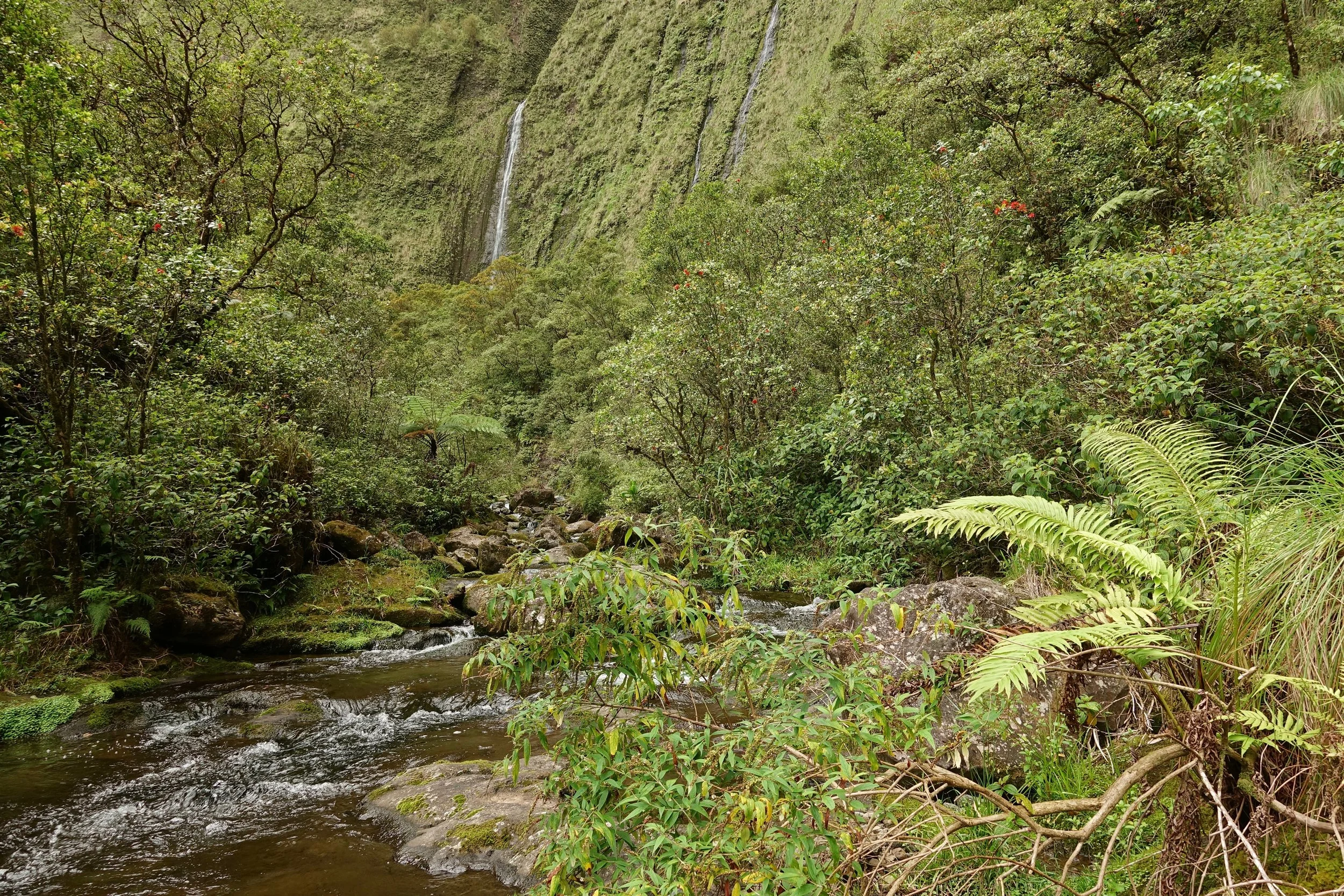
The northern stream appears to dead end into a waterfall, but there is an uphill path on the south side of the stream that leads to a gate in the fence. The gate is a good landmark as there is a well defined path for the remainder of the walk.
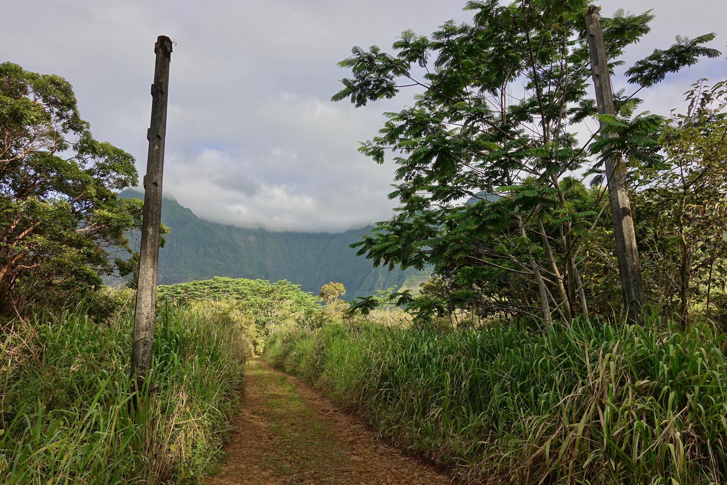
Location of the gate
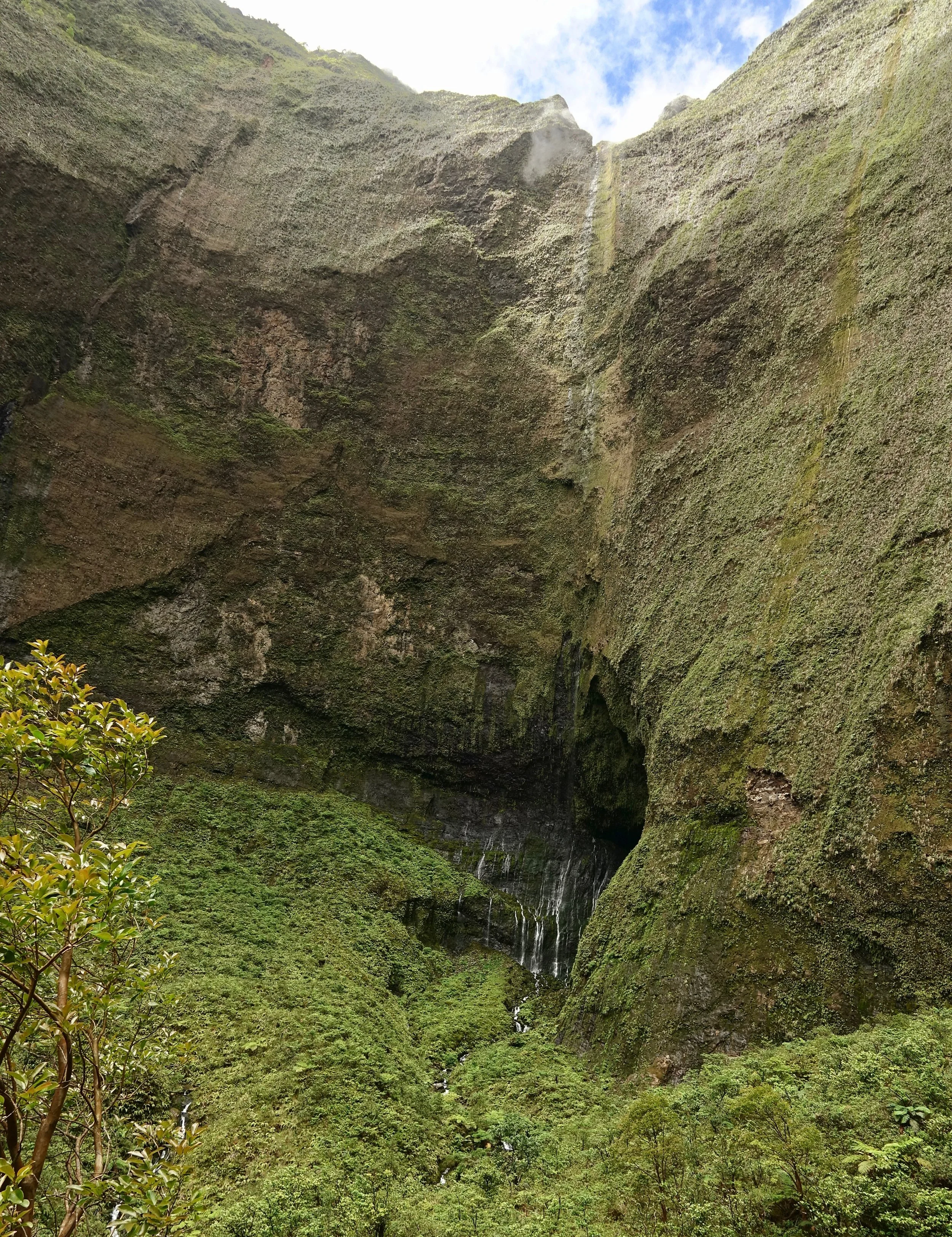
First view of the Inner Sanctum
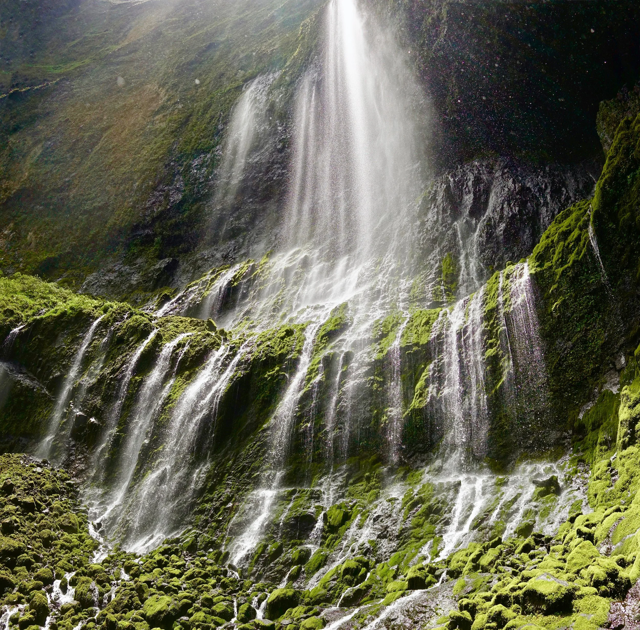
The sun came out when I reached the weeping wall cascade in the back of the Wai'ale'ale crater
Both times I have done the hike I waited for a good weather. Flash floods are possible, best to check the summit forecast. The Waialeale summit averages 20-30 inches of rain per month. The coastal town of Wailua only ten miles away averages two inches of rain per month
Muliwai Trail
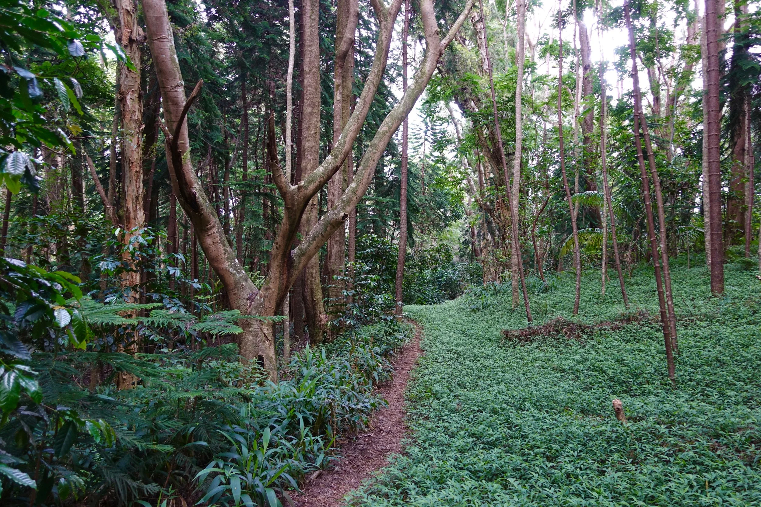
The Muliwai Trail on the Big Island starts with a walk across Waipio beach and then climbs through the jungle to reach Waimanu Valley (18 miles return)
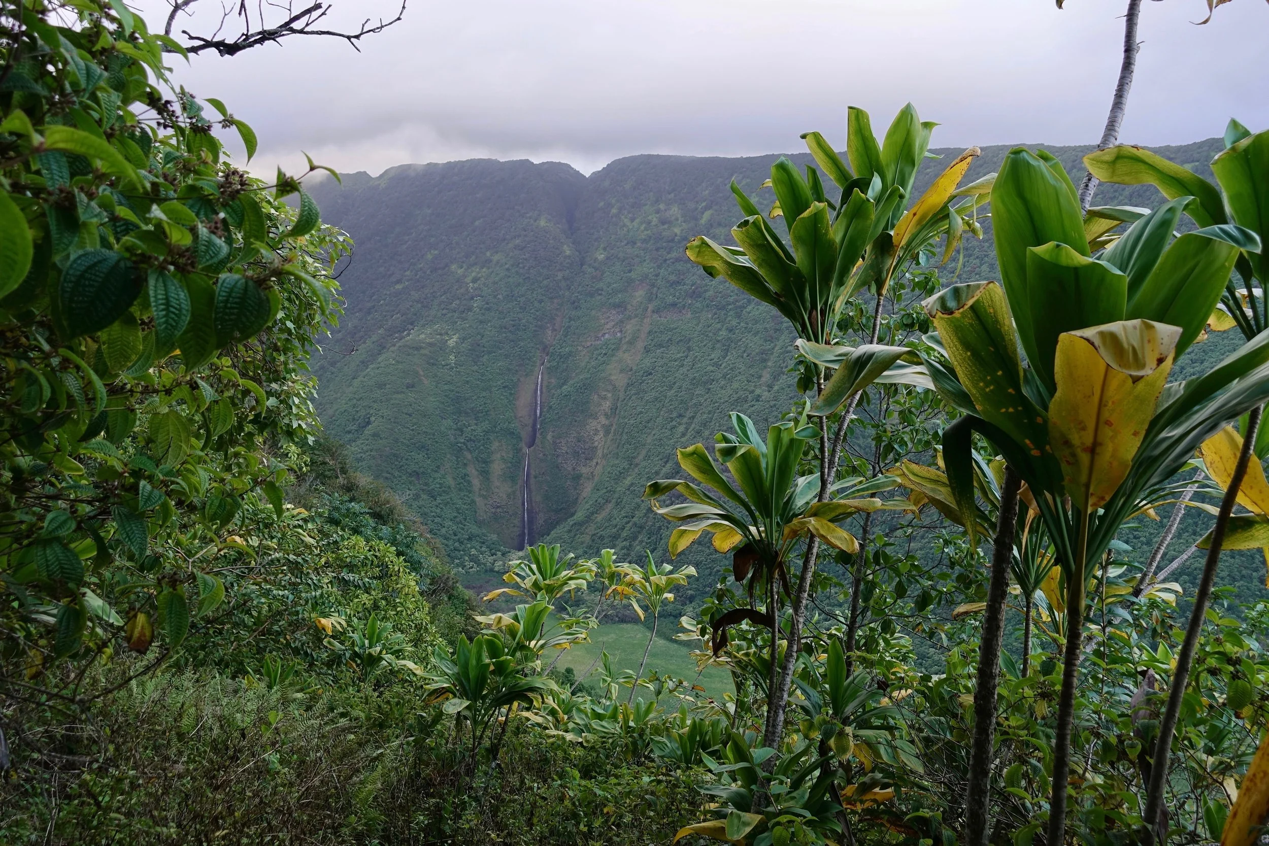
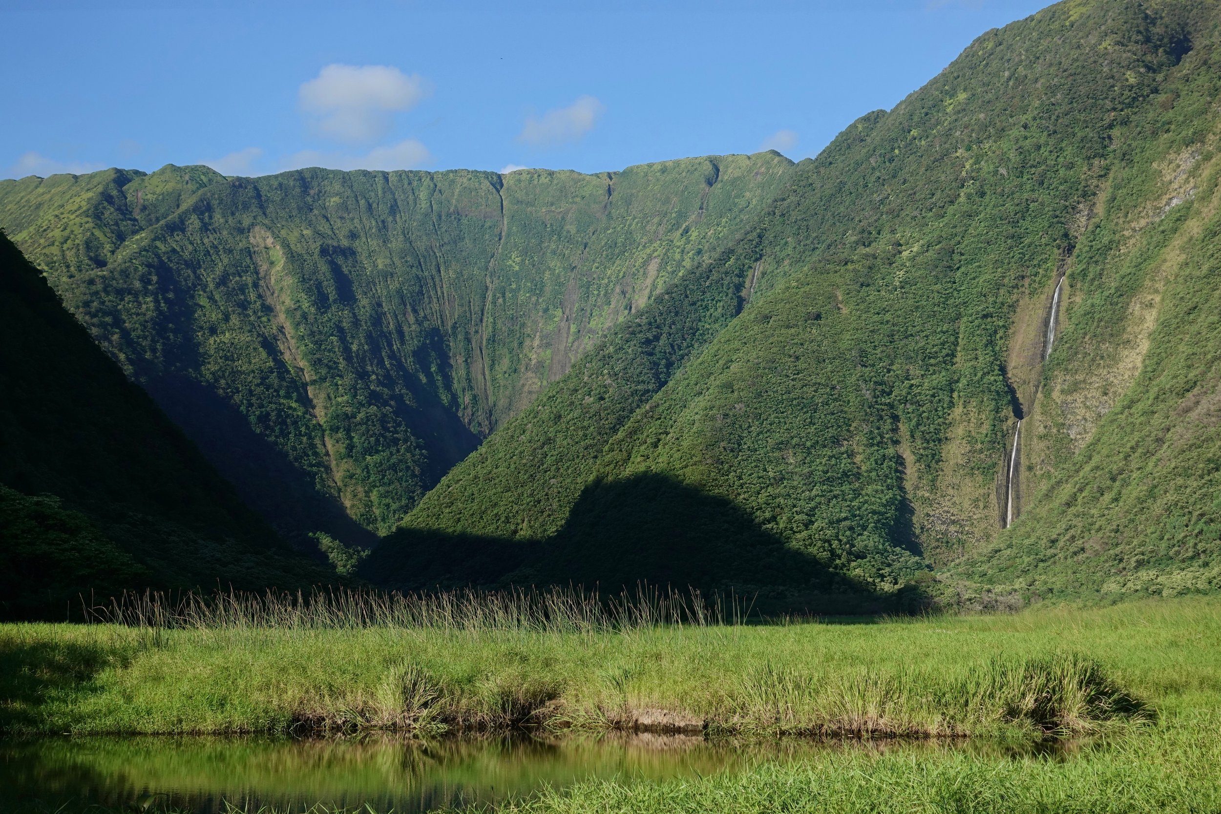
The final set of switchbacks gives the first view of Wai'ilikahi Falls and the Waimanu Valley
Waimanu creek is the final river crossing to reach camp
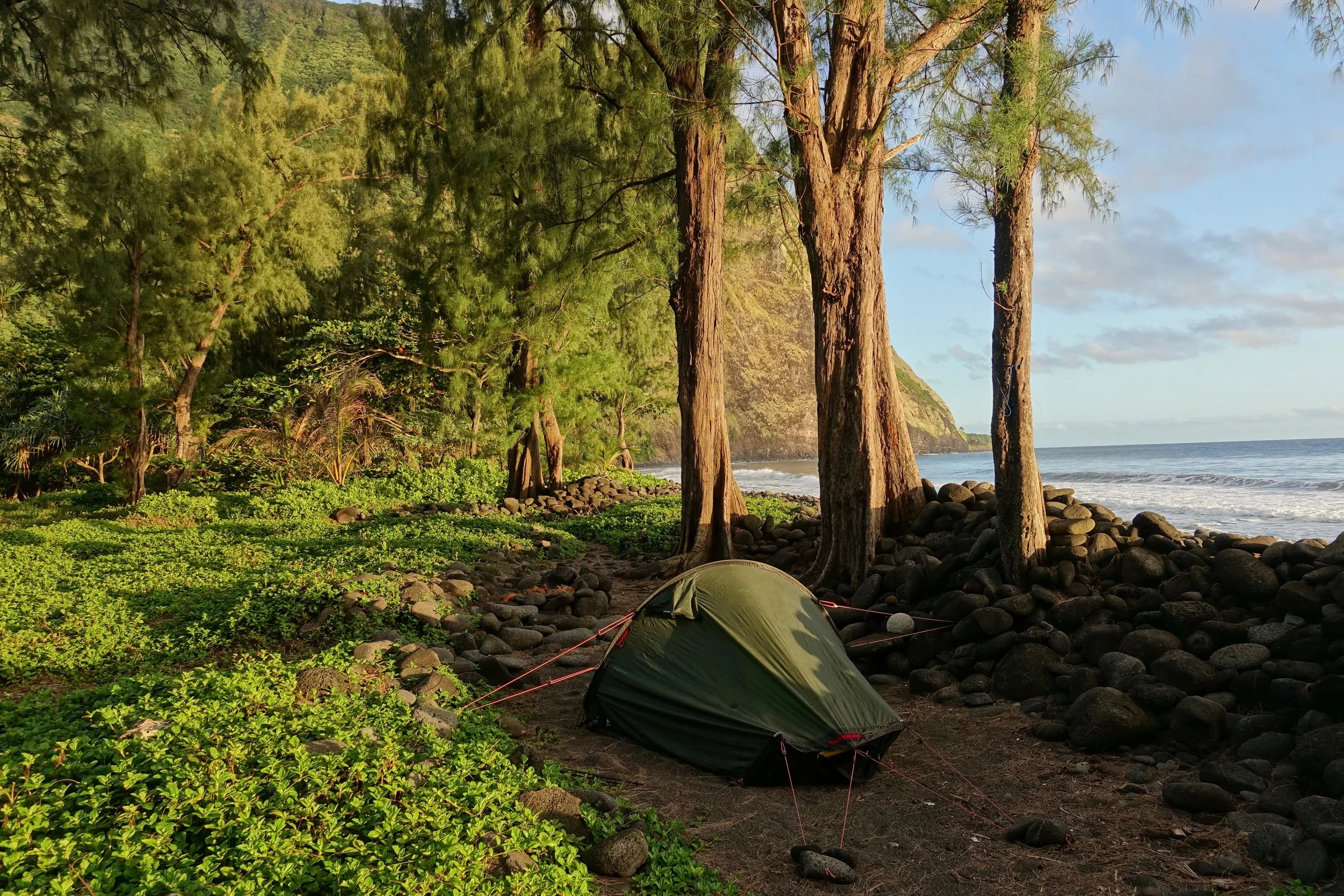
Campsite #3
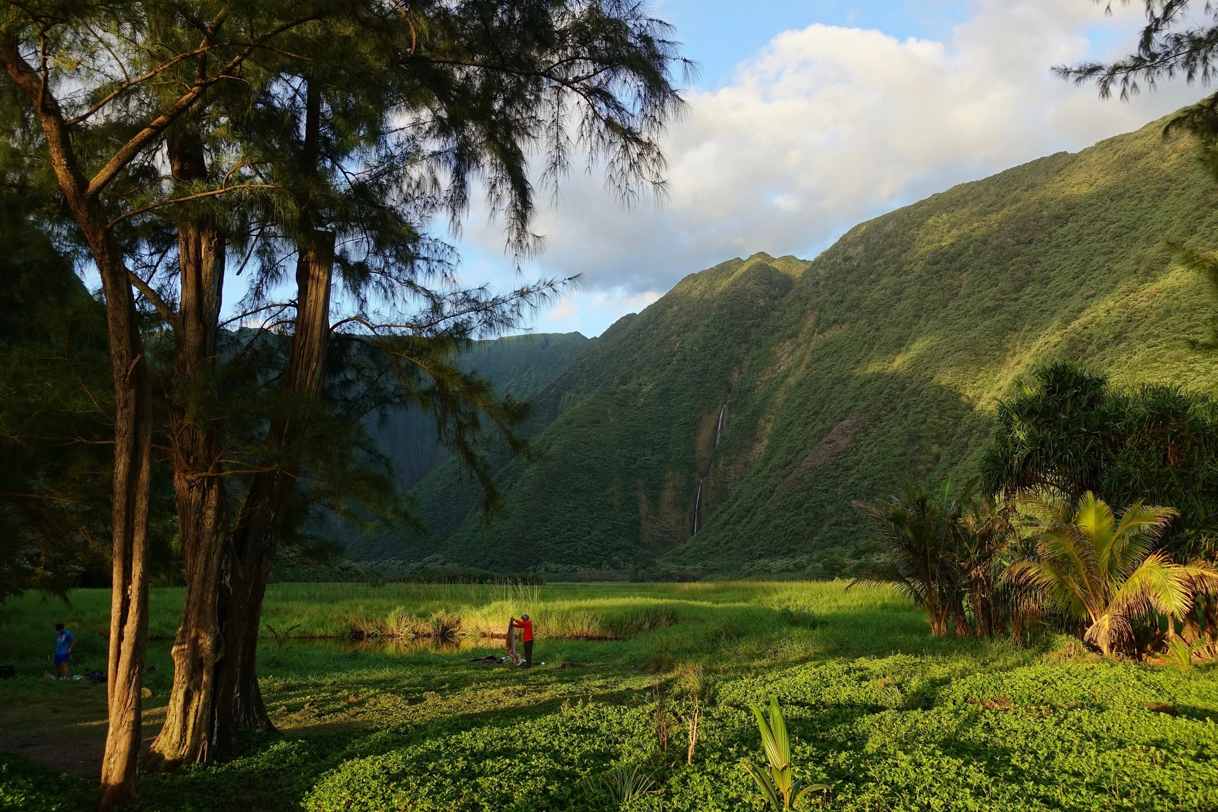
Sunrise at camp
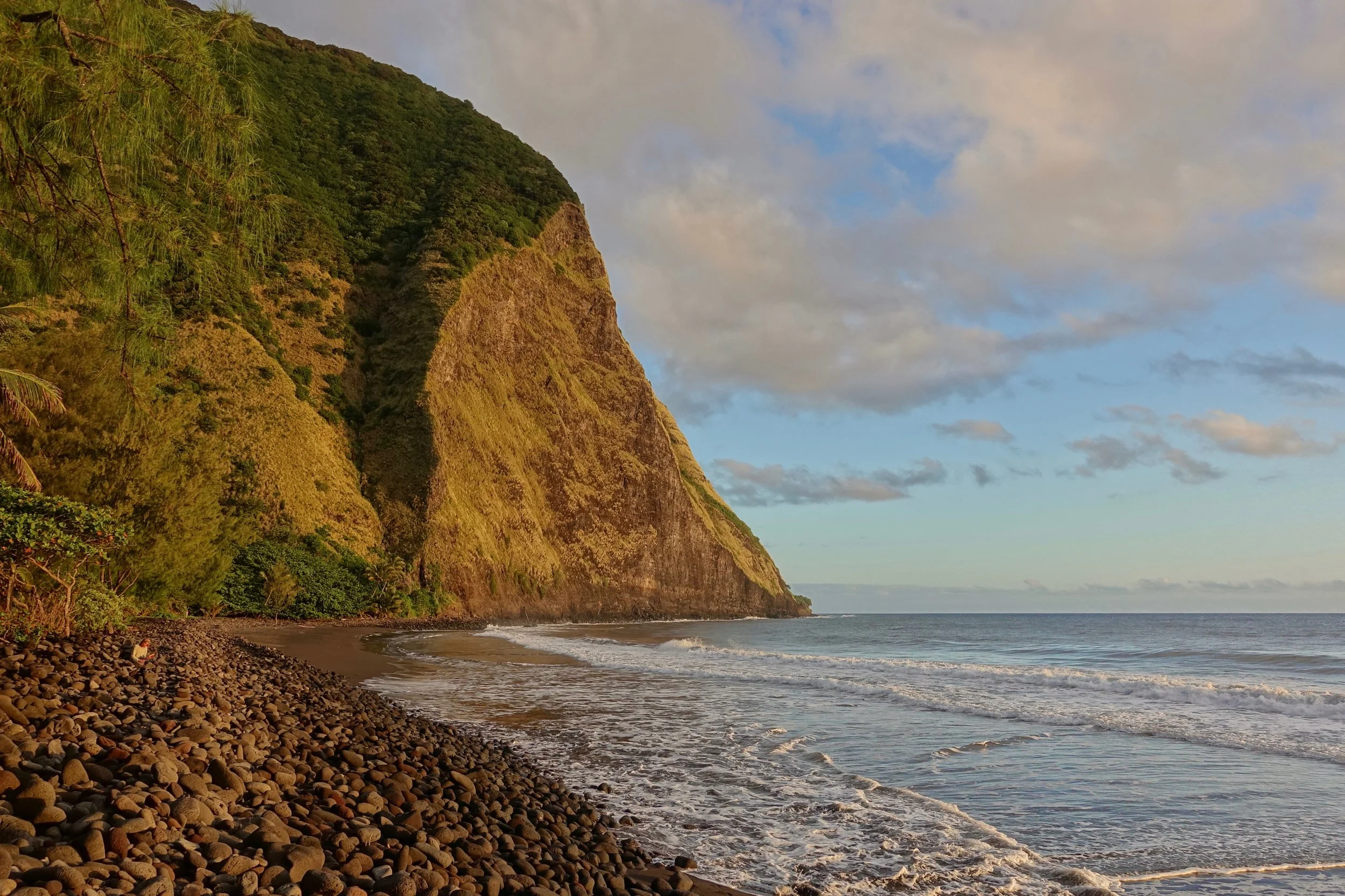
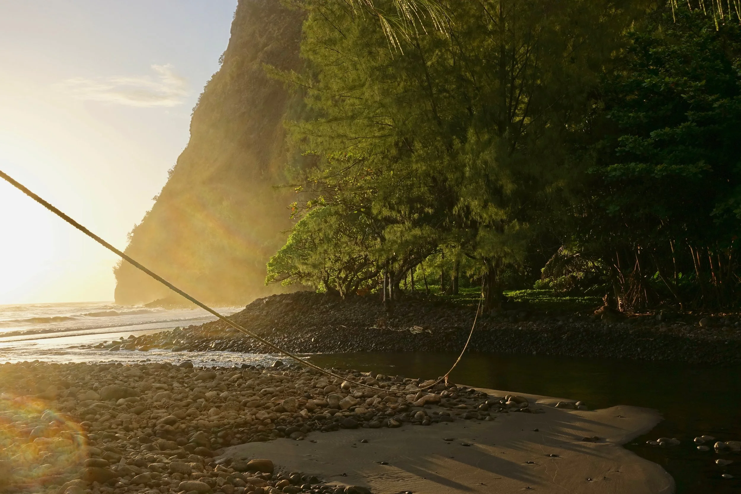
Waimanu beach
I mostly rested on the day in the valley, taking a short hike to Wai'ilikahi Falls