Washington
Olympic National Park
Glacier Peak Wilderness
Mount Rainier National Park
Olympic National Park
Cape Alava Trail
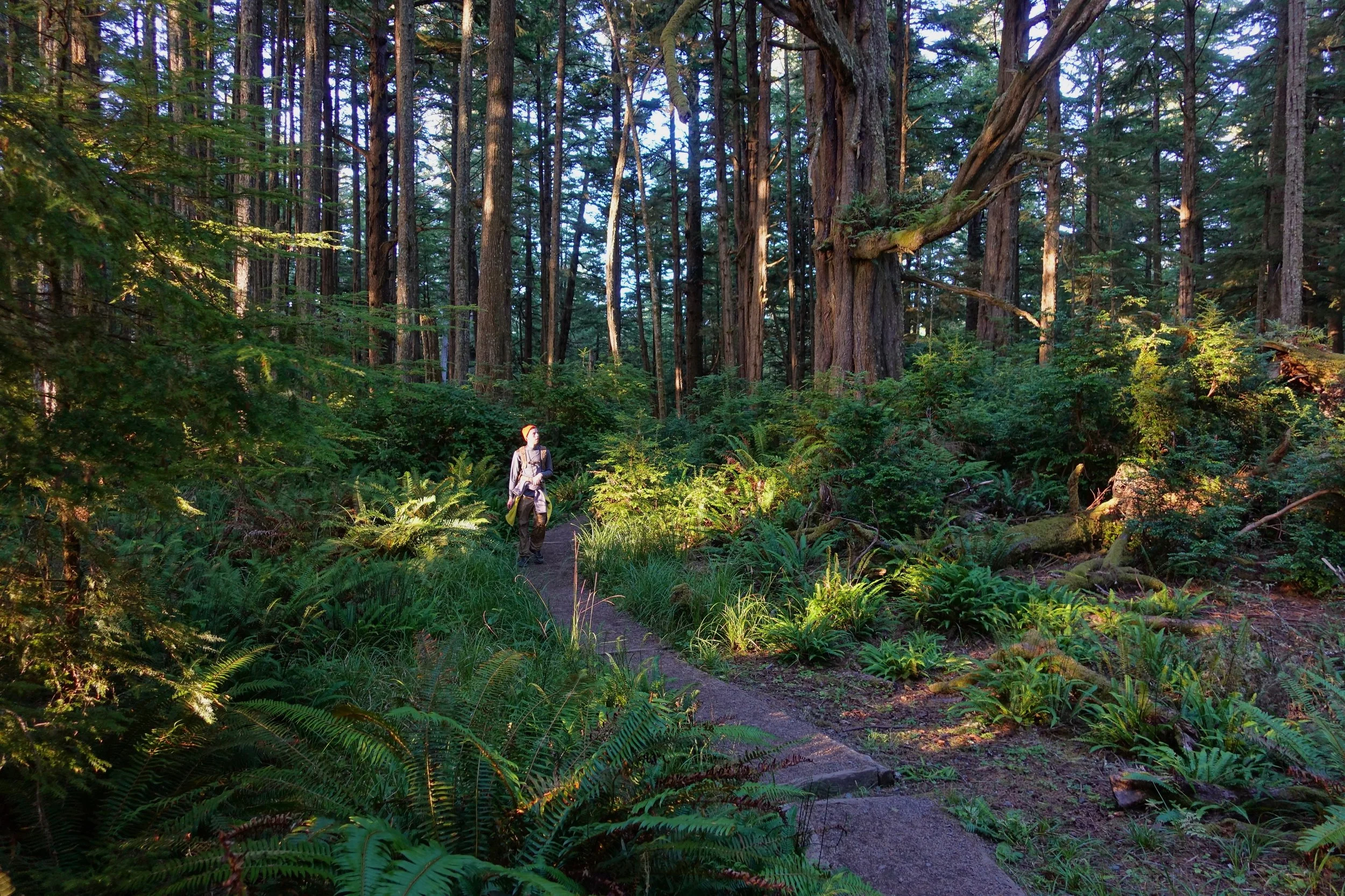
The Cape Alava trail on the northern Olympic coast starts at Lake Ozette (6 miles return)
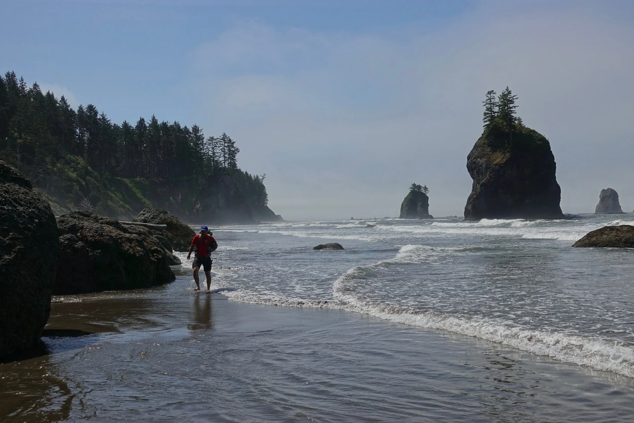
Low tide on the coast when we arrived
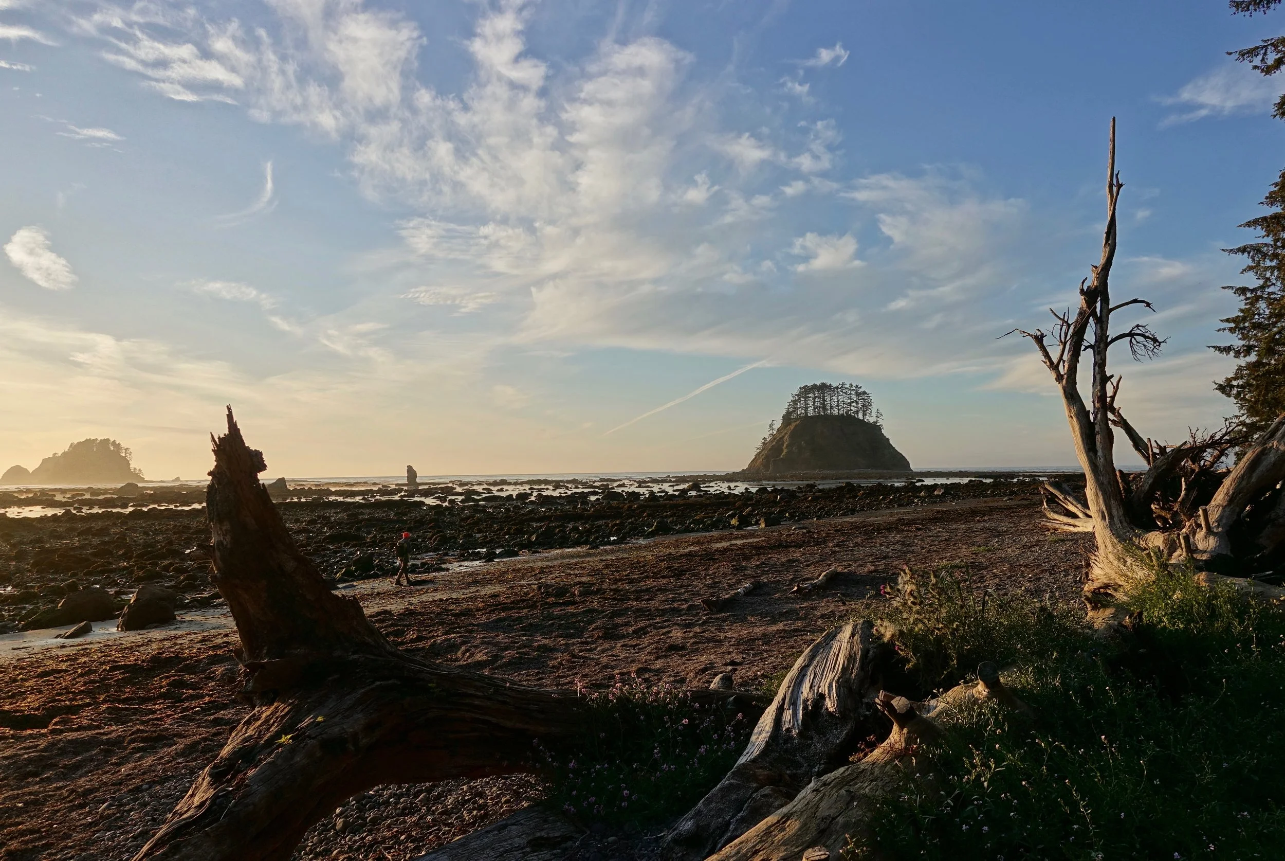
We made our way north towards Tskawahyah Island as the sun was going down

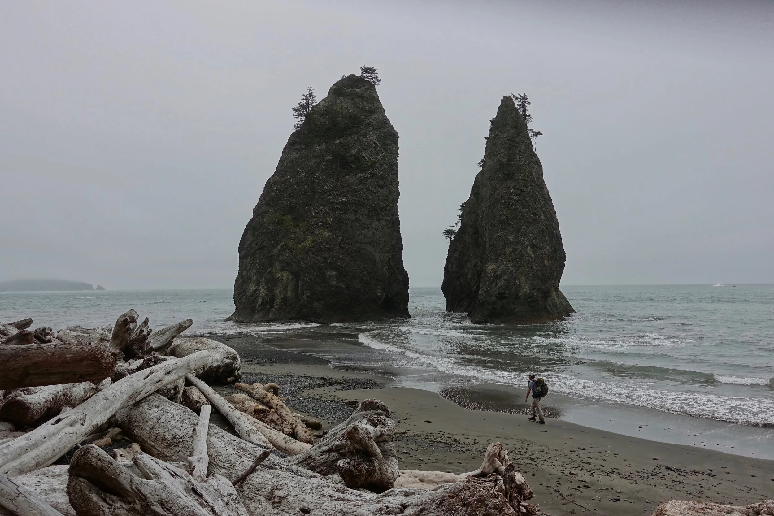
Sea stack formation at Cape Alava
Rialto Beach to Sand Point
In late July, my brother and I walked one way from Rialto Beach to Ozette (20 miles)
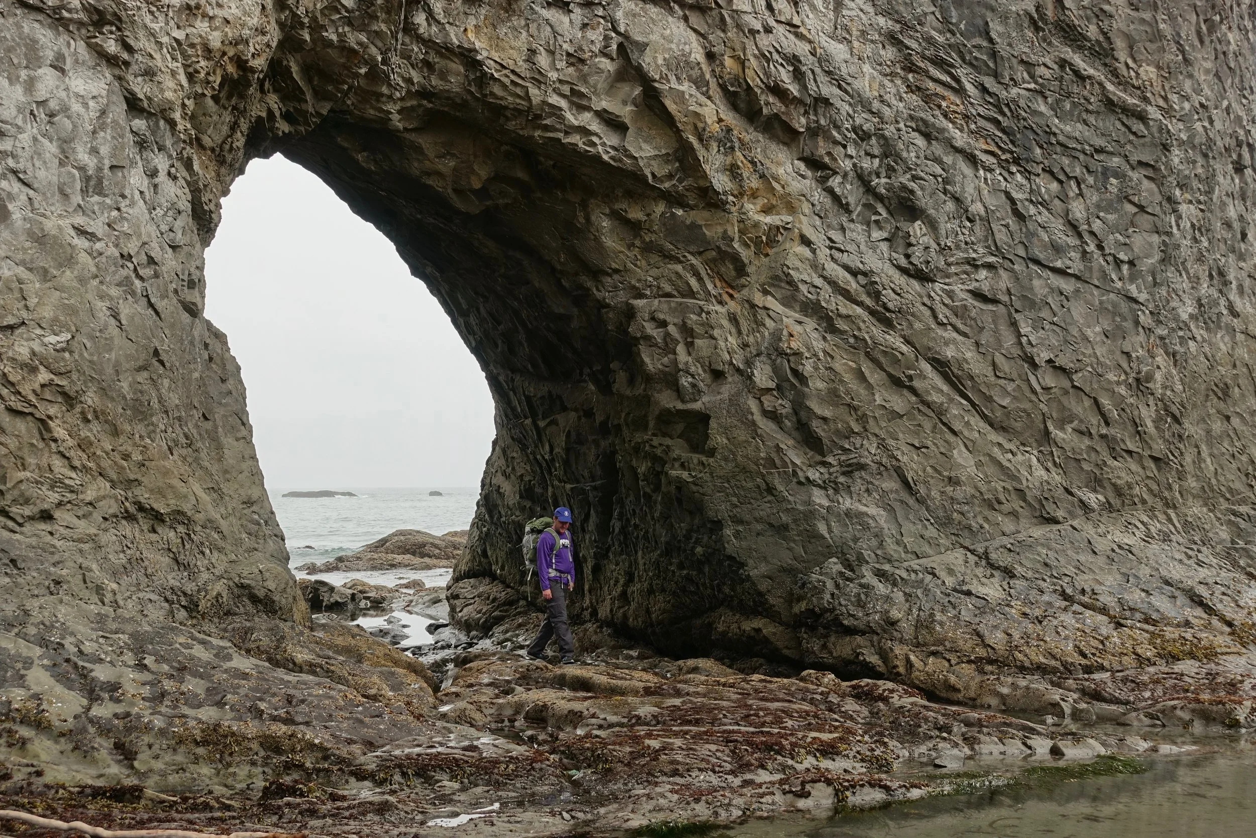
Hole-in-the-Wall
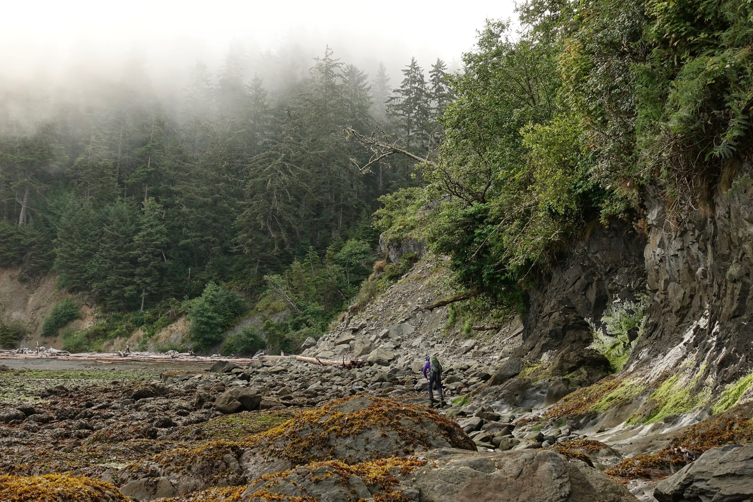
The majority of the walk involves rock hopping with campsites on isolated beaches
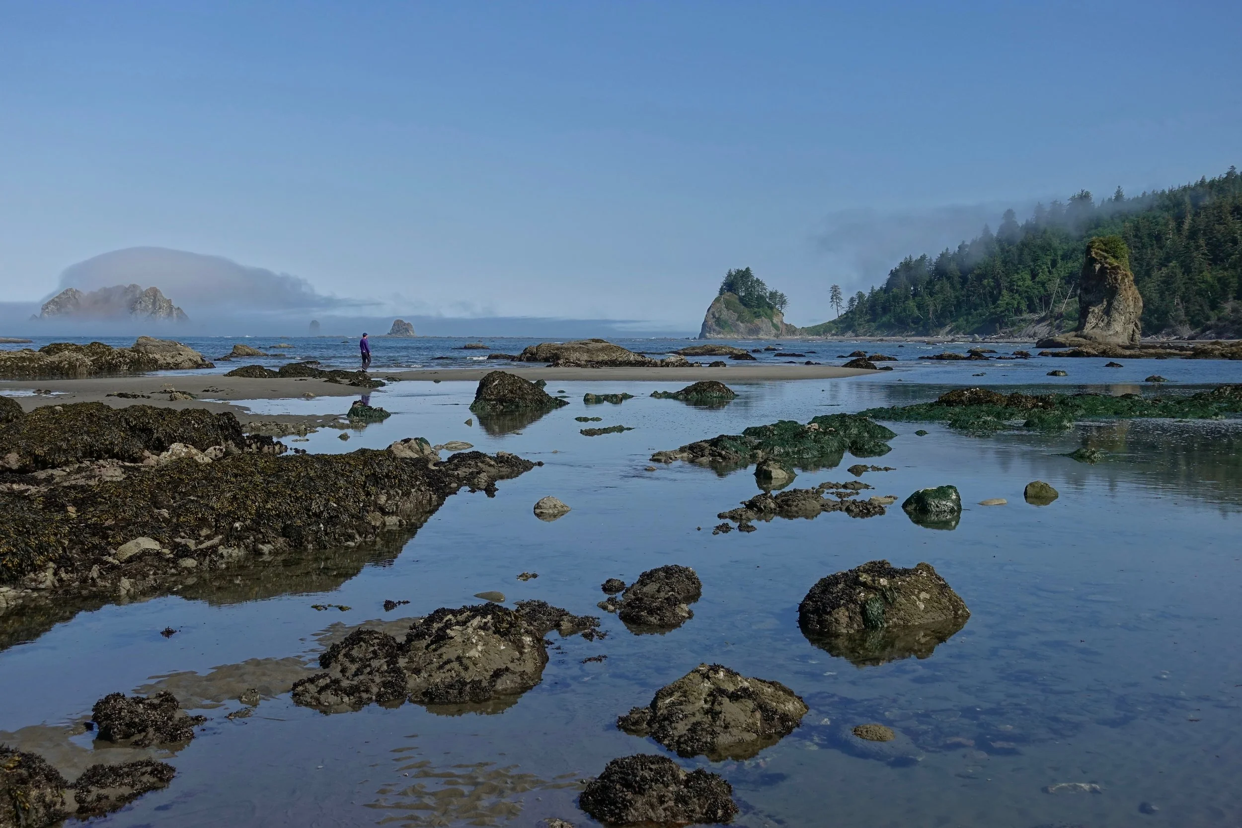
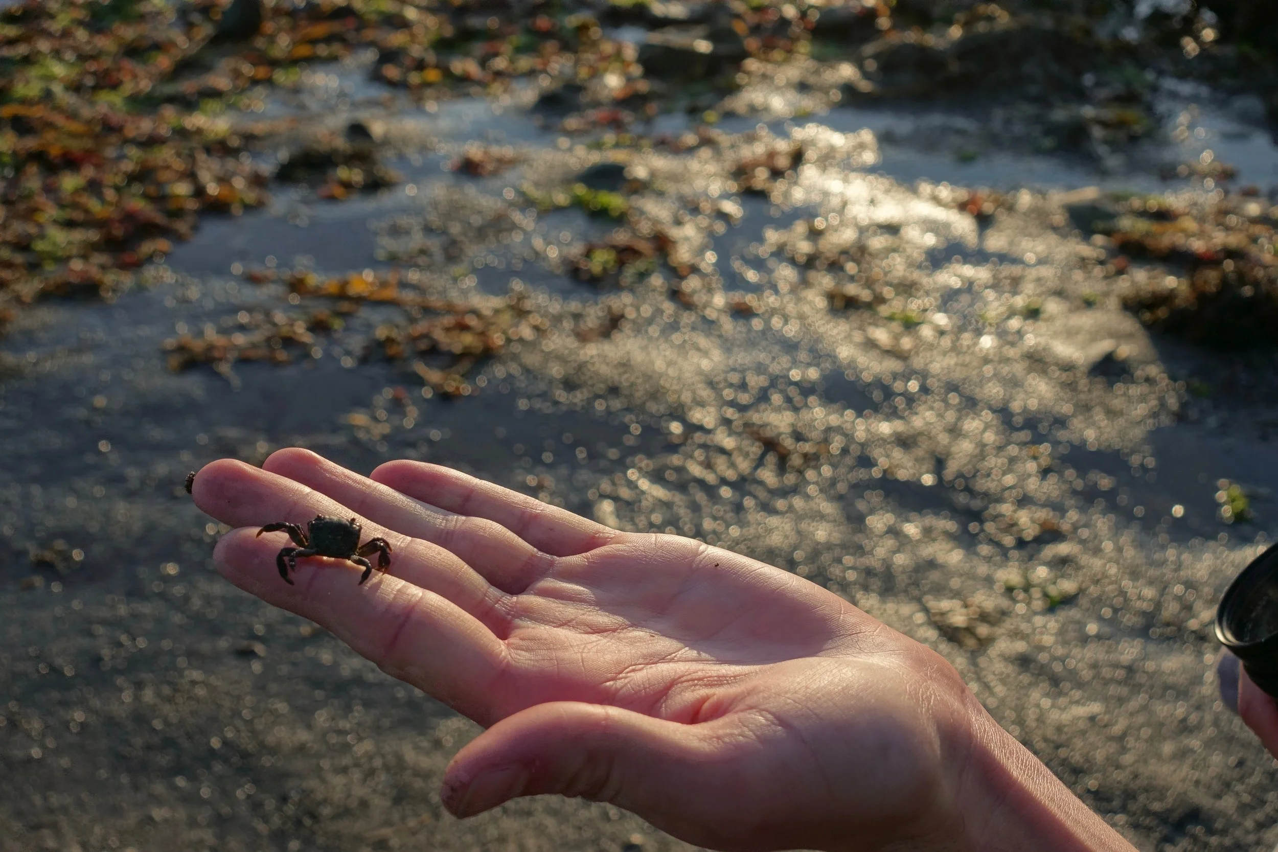
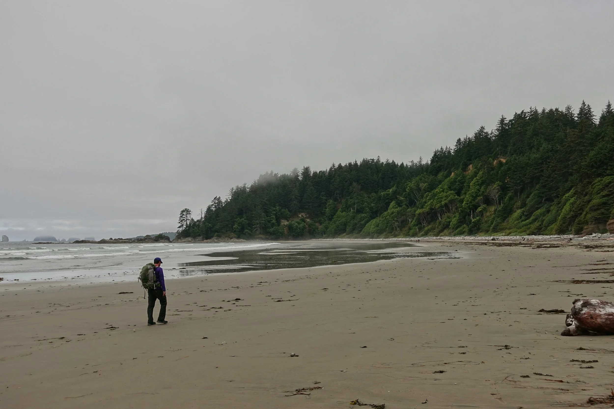
The fog lifted on the second day and we explored some tide pools
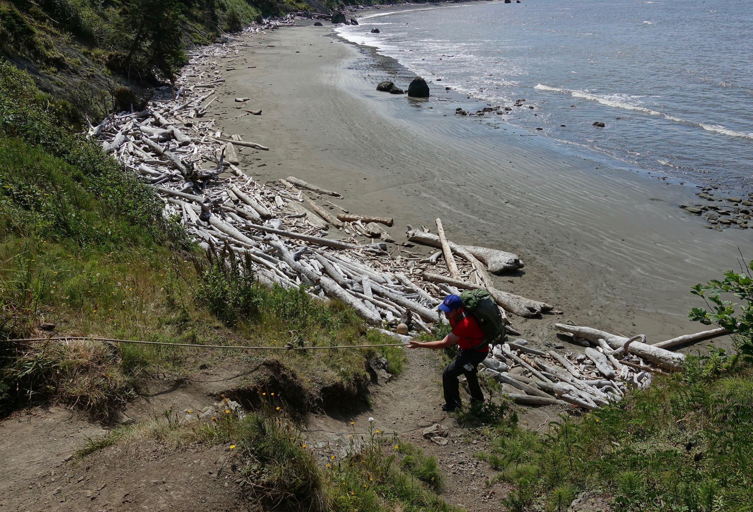
Overland trail connecting the beaches
My brother timing his run. Tide charts are provided when picking up permits at the Ranger Station in Port Angeles
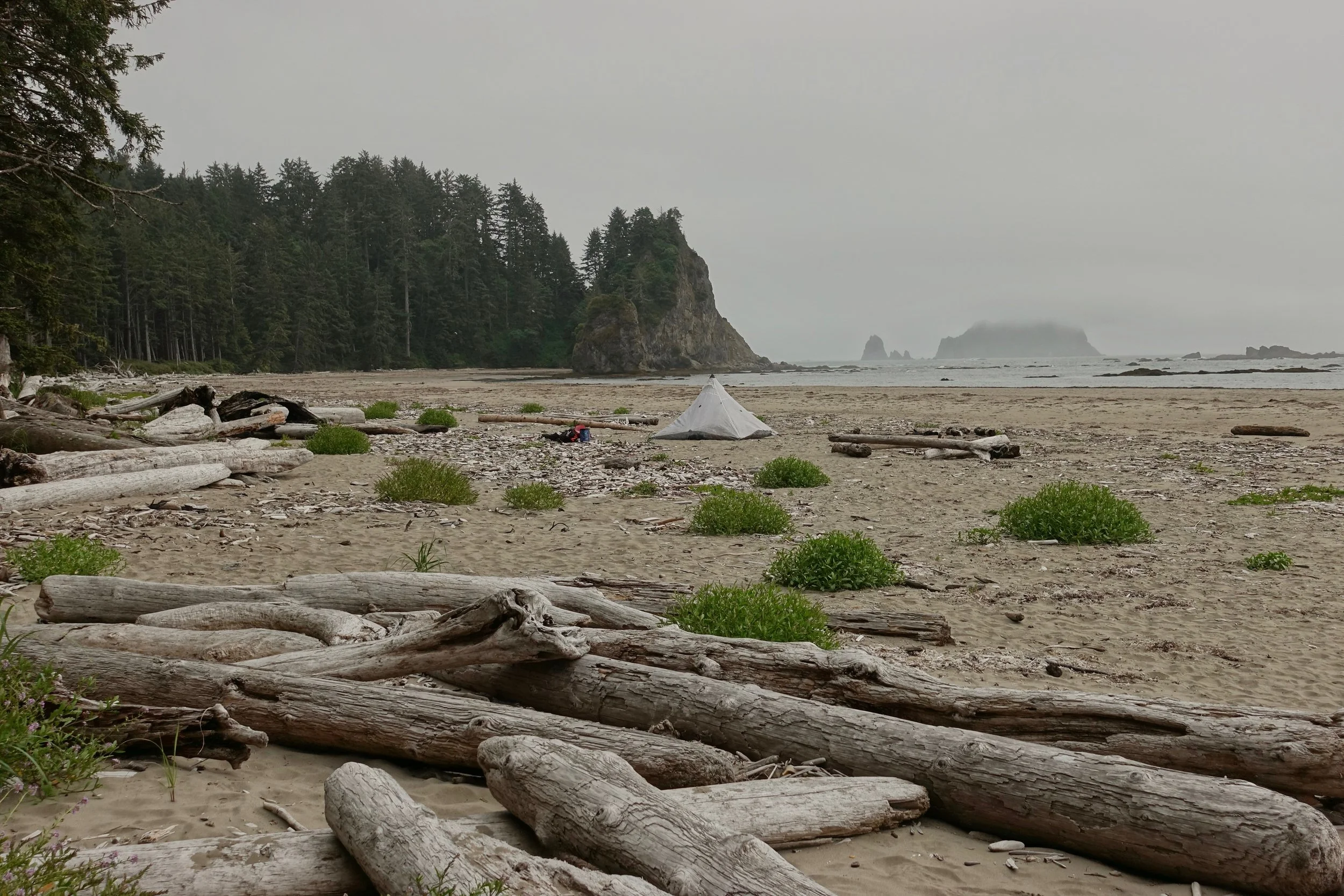
The Norwegian memorial campground has plenty of beach space away from the tide line
With the mist/fog returning, we blitzed the final day hiking ten miles back to the car at Ozette
Glacier Peak Wilderness Circuit
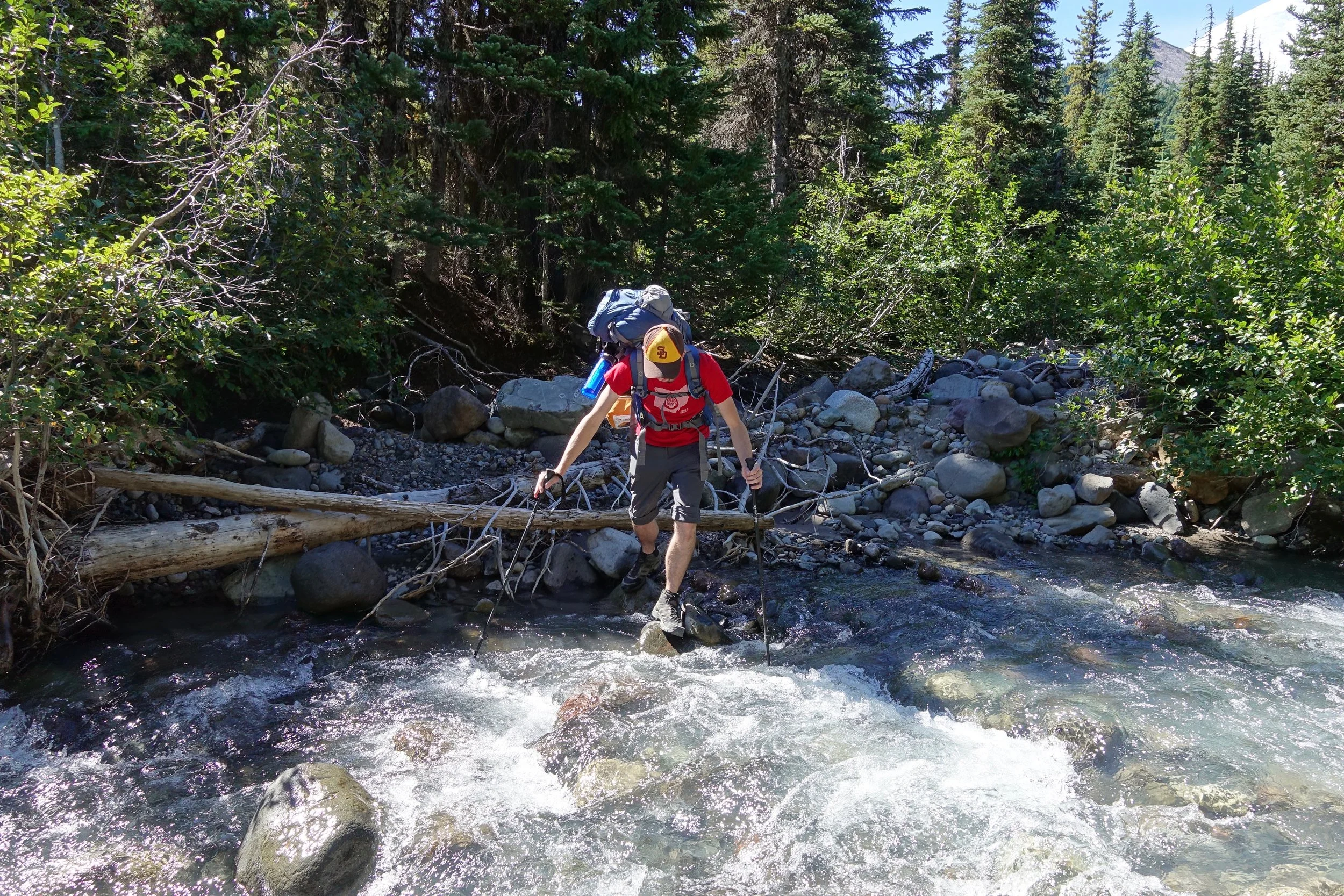
I started the walk at the White River Trailhead and went over Boulder Pass the first day into the Napeequa
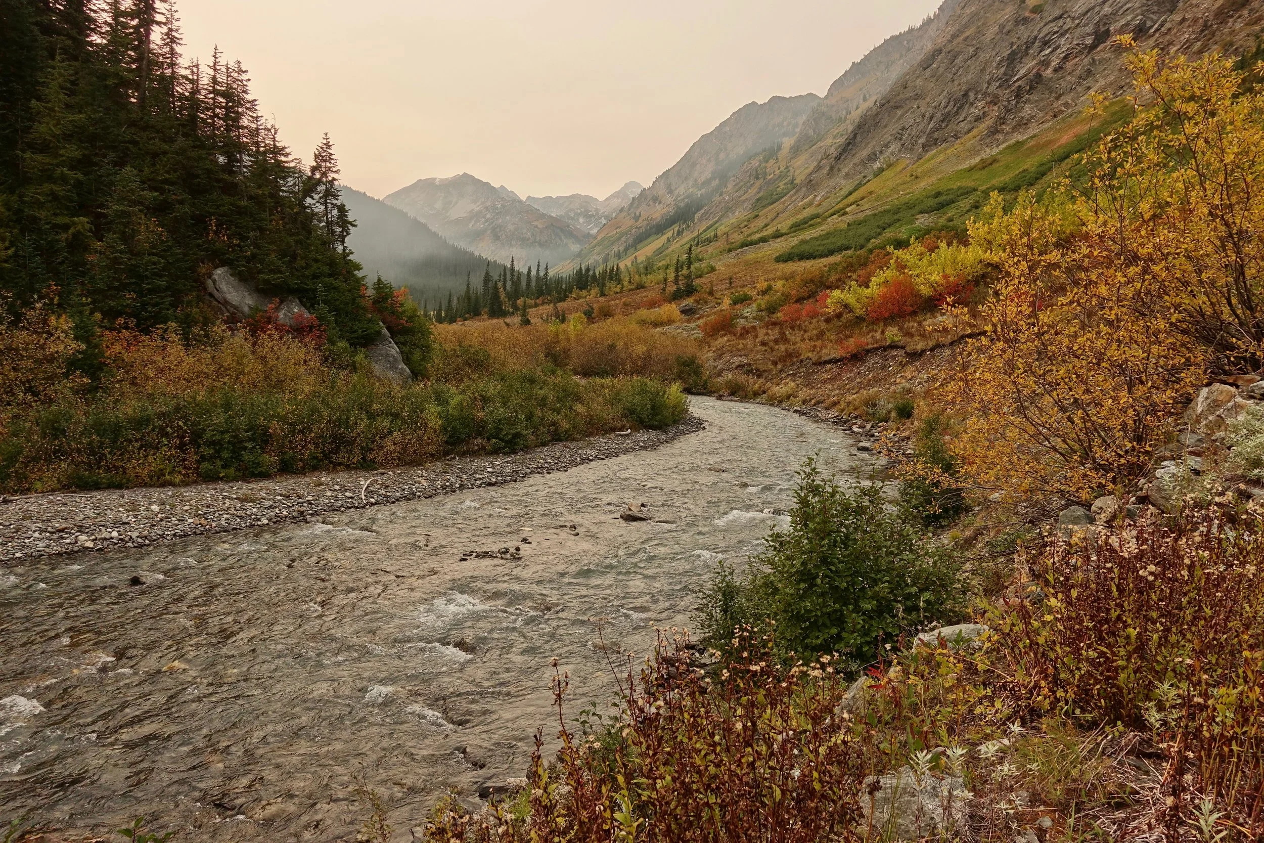
The Napeequa is rugged and overgrown, felt more like an Alaskan valley
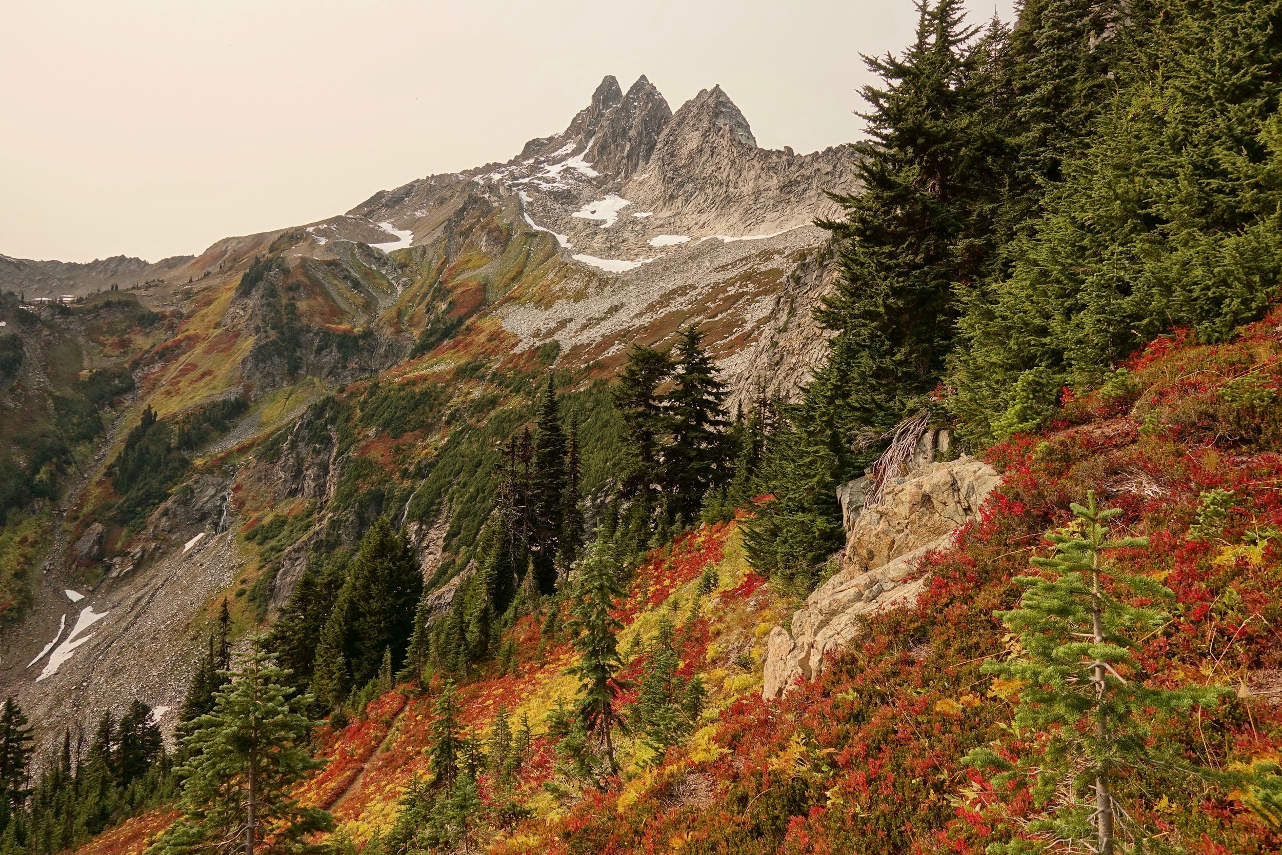
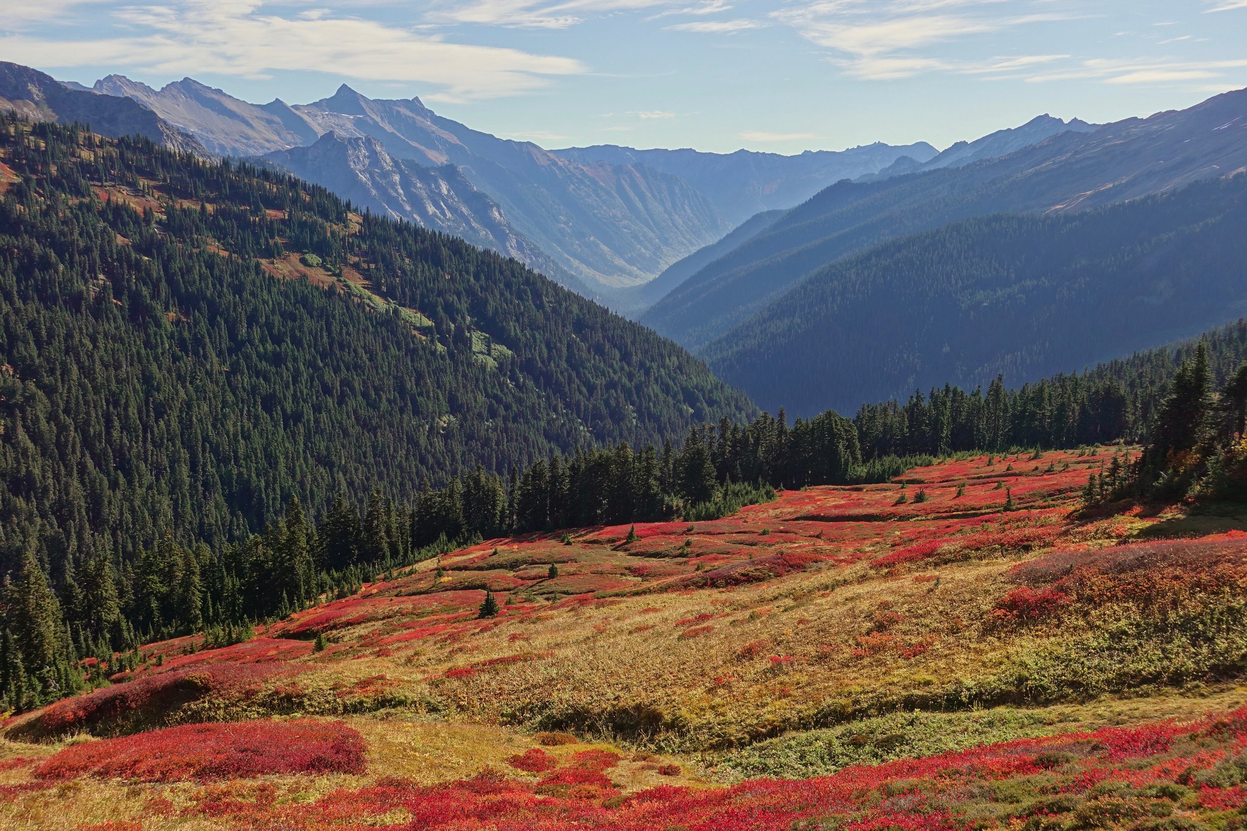
The smoke from the California fires blew in overnight, the glaciated Butterfly Butte seen here in the distance
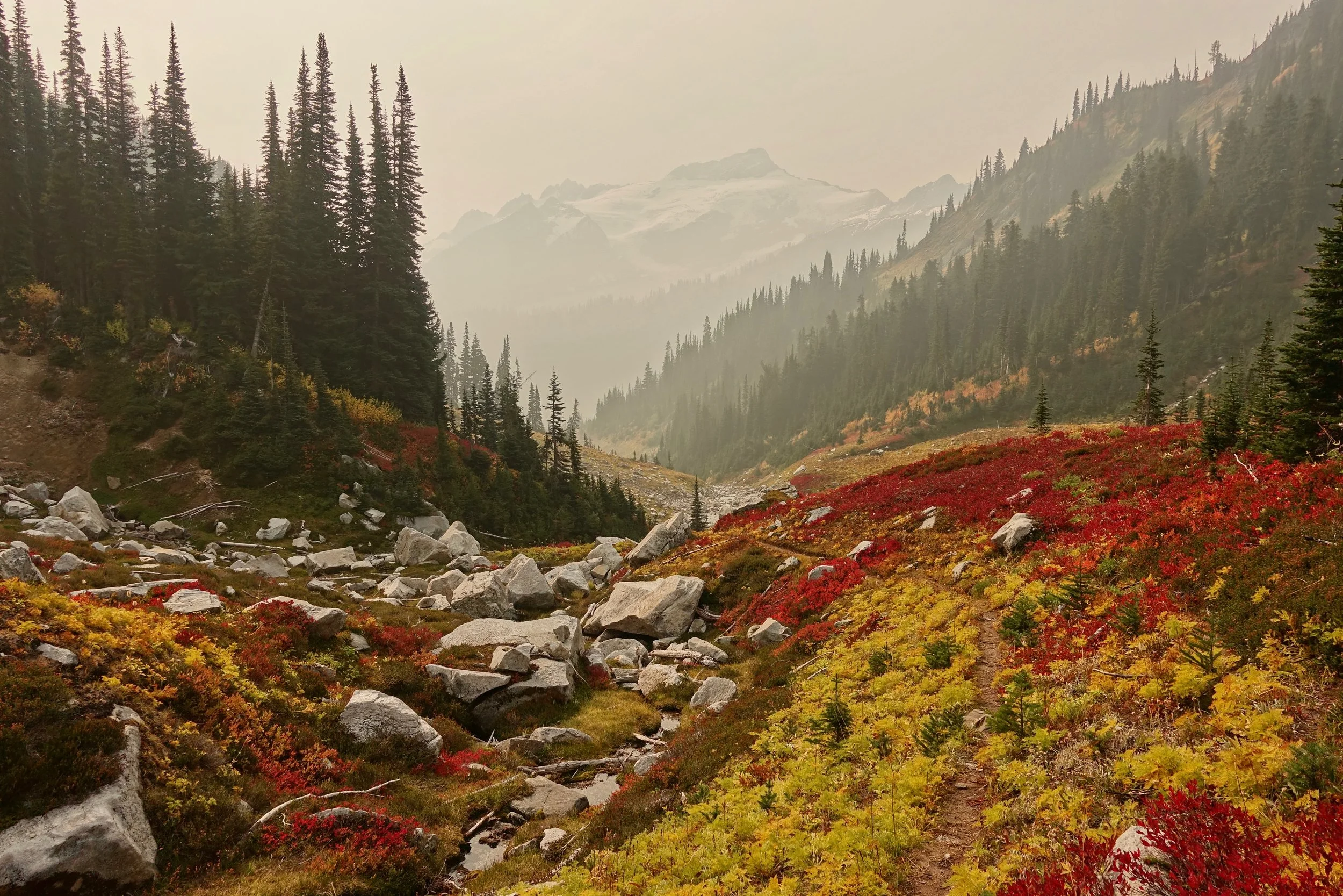
The trail from High Pass to Buck Creek Pass is probably the best on the circuit, the smoke however was at its worst
I did the walk counter-clockwise with a relaxed pace on the eastern side. Extra distance was covered in the second half as the pack got lighter. There would also be the option of climbing to Camp Lake on the western side and making the walk seven days
Overview Map
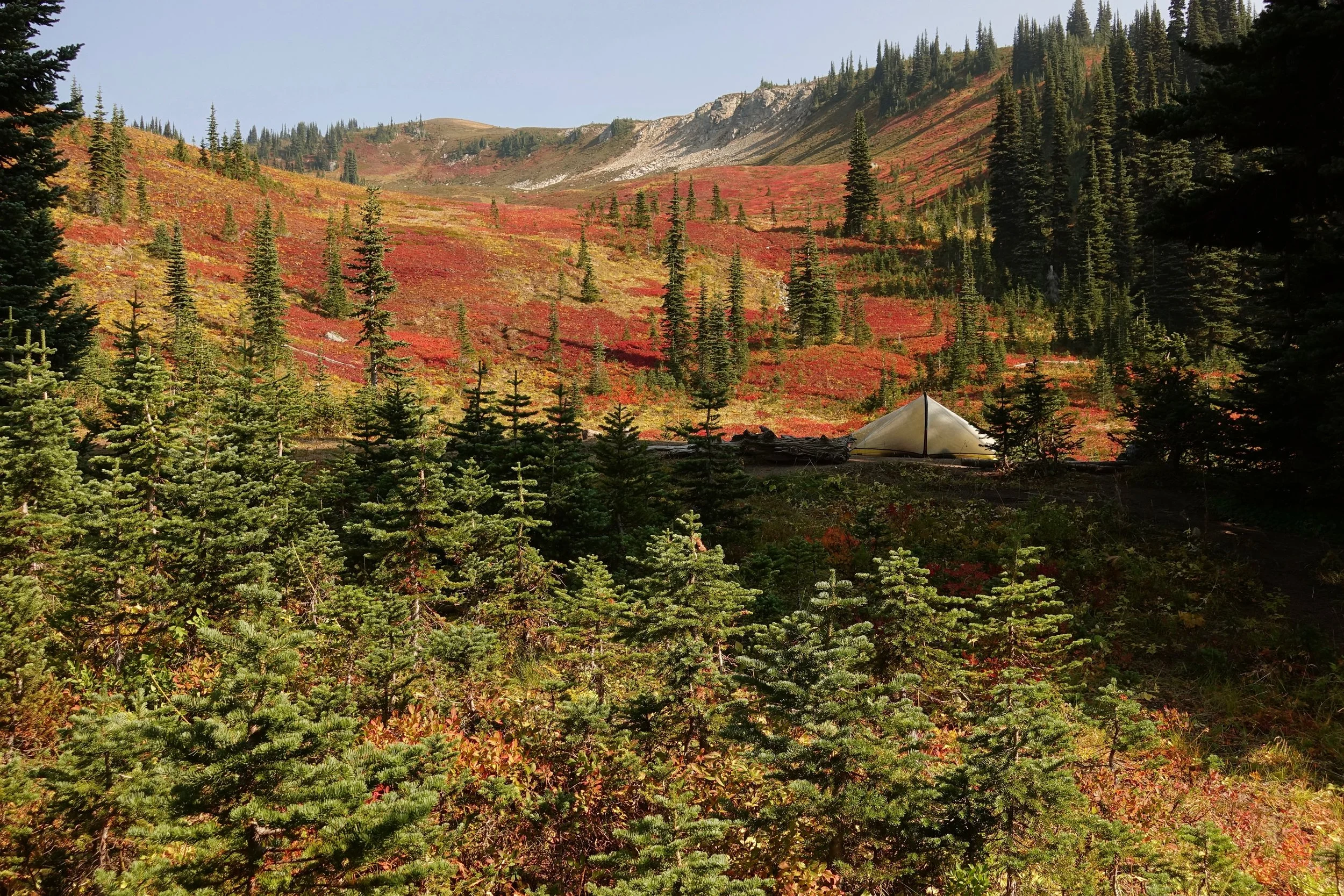
I arrived early at Image Lake with a planned half day walk from Buck Creek Pass
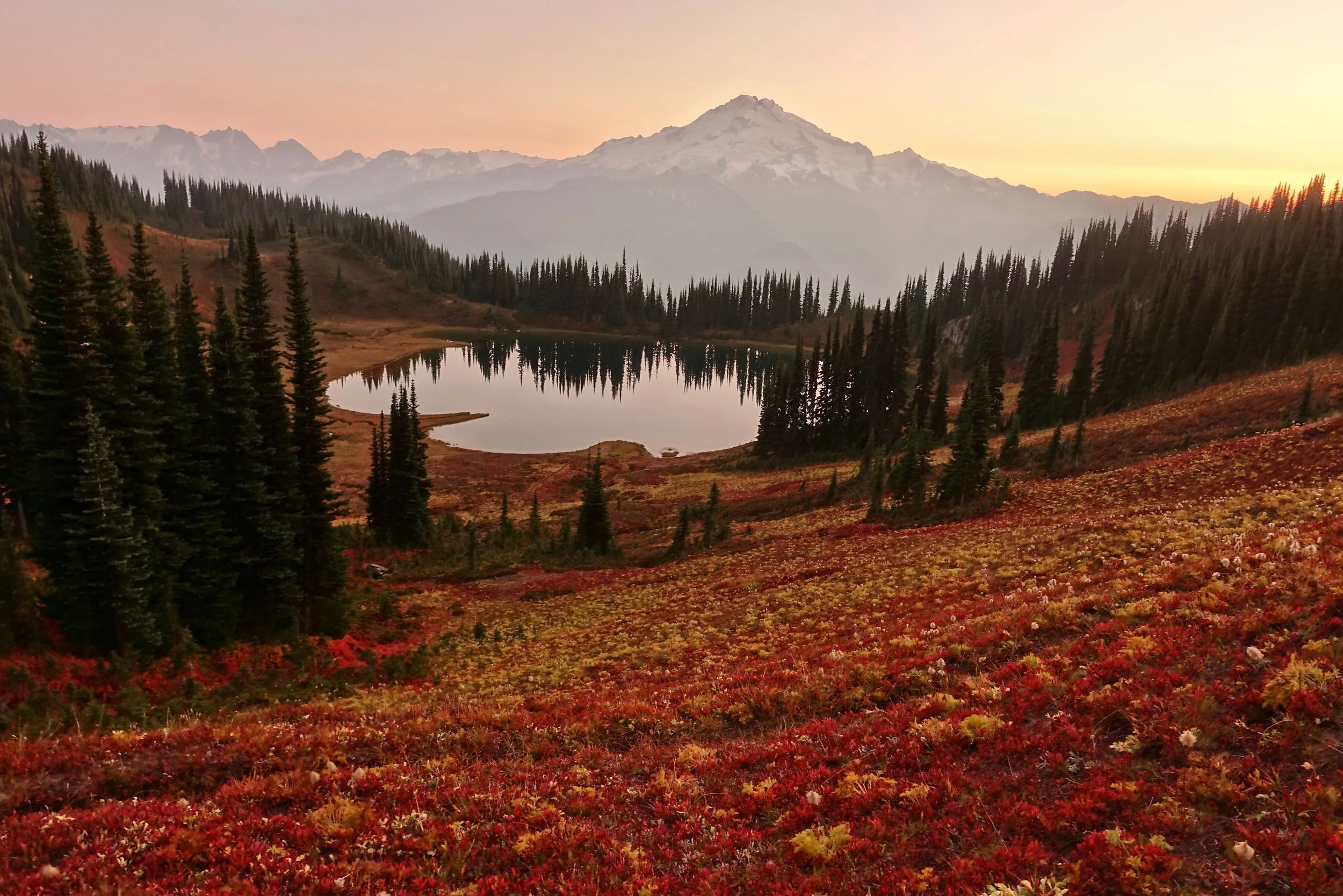
Smoky sunset above Image Lake
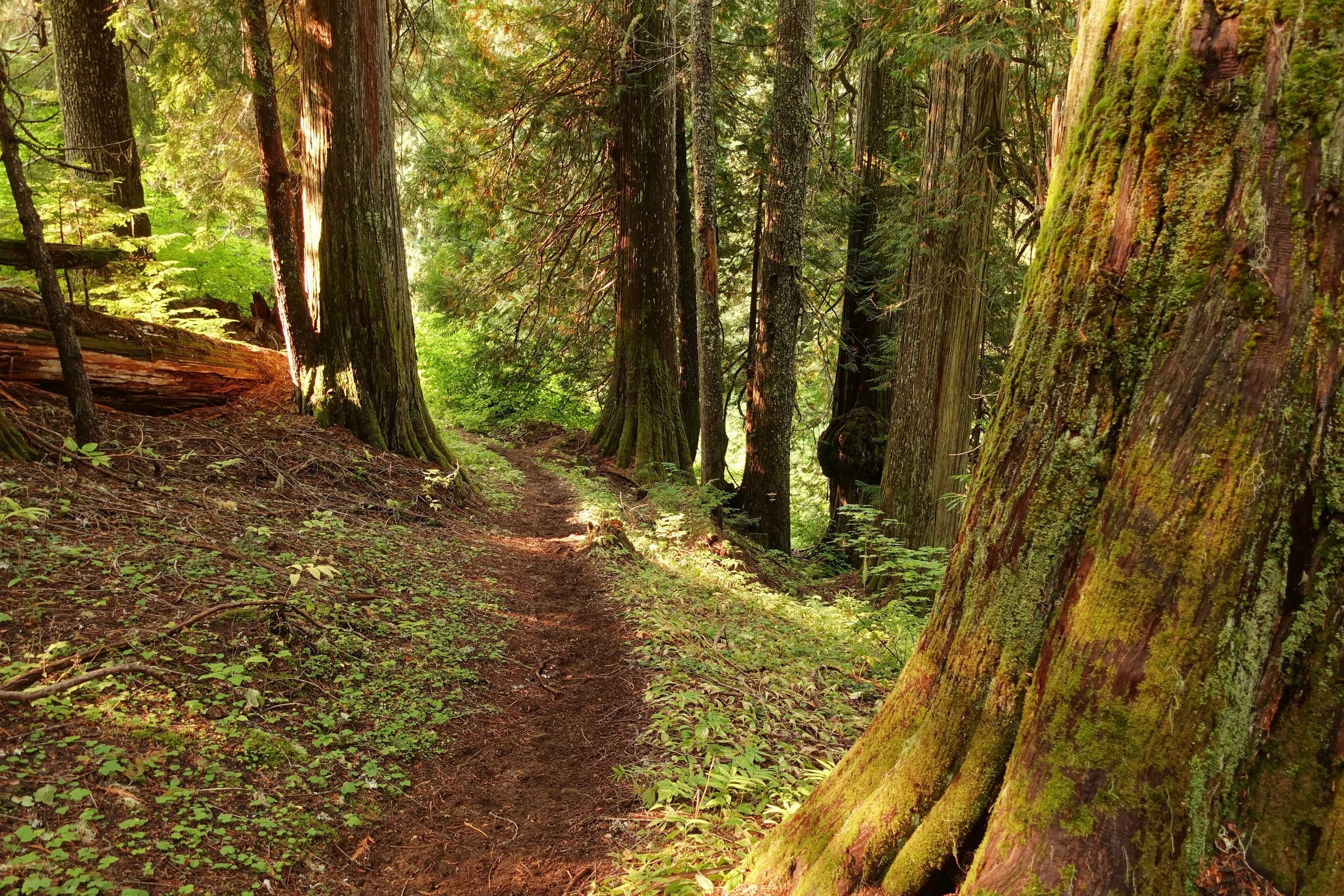
From Image Lake the remainder of the walk was on the Pacific Crest Trail, which had some beautiful forest sections
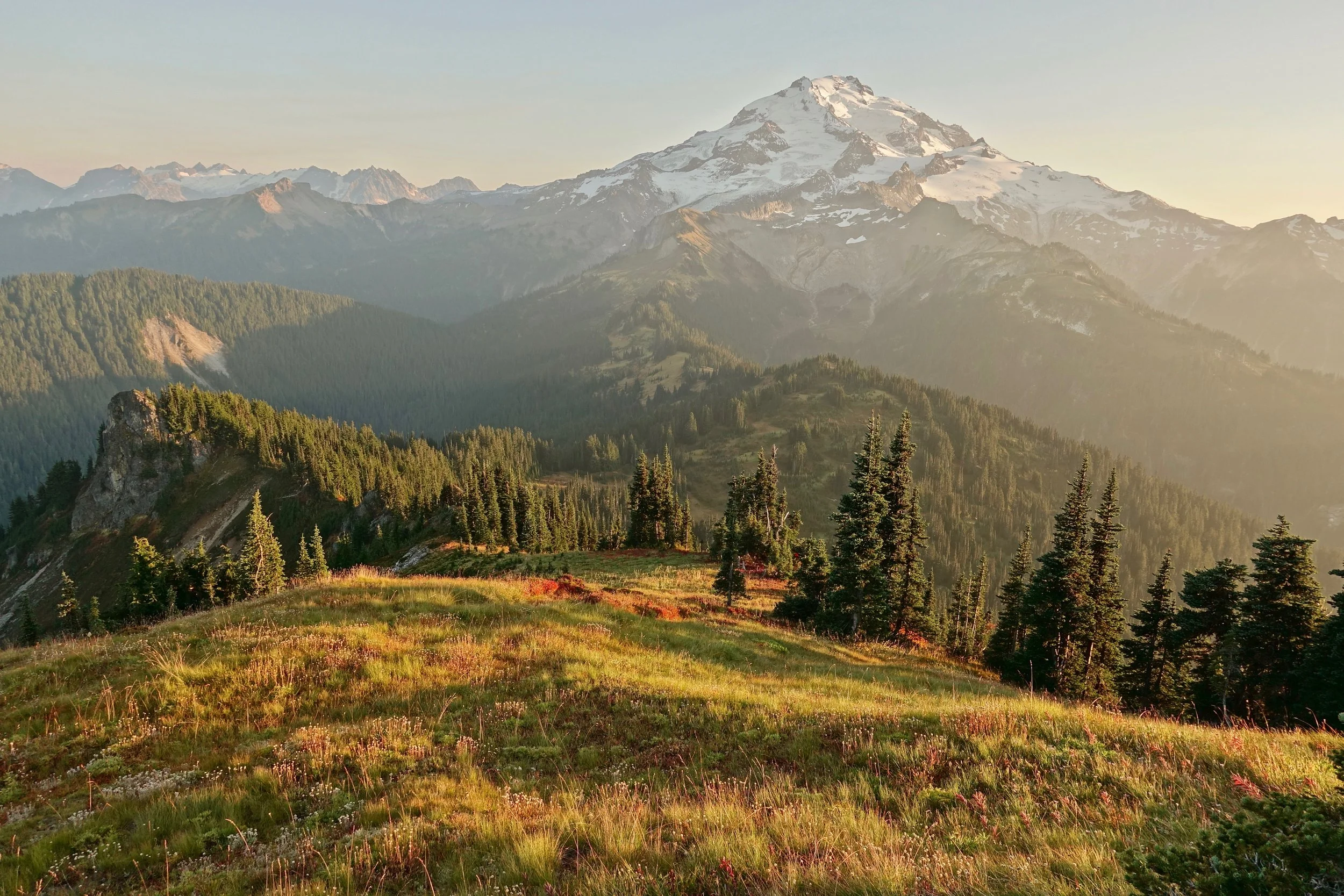
Glacier Peak from Grassy Point
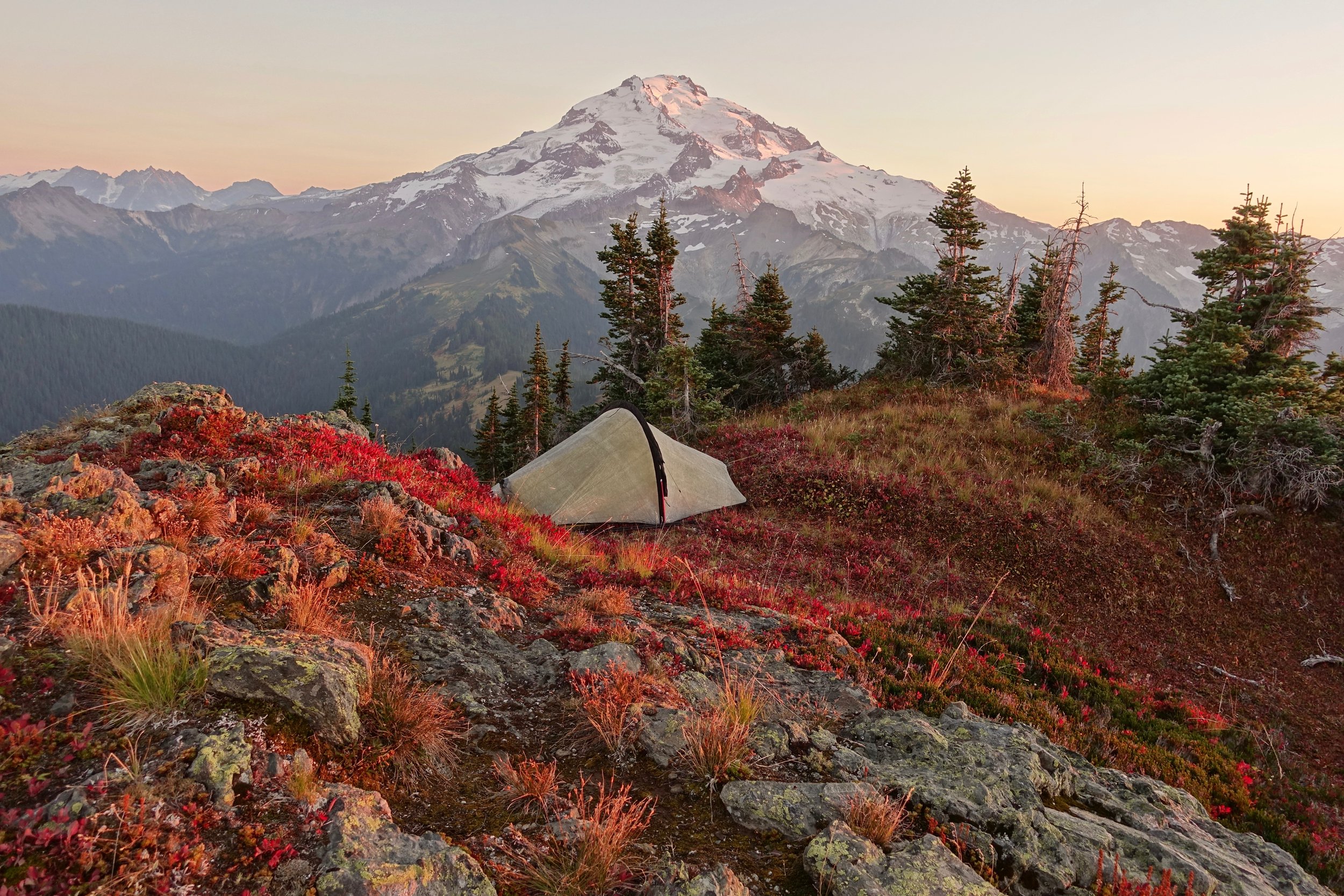
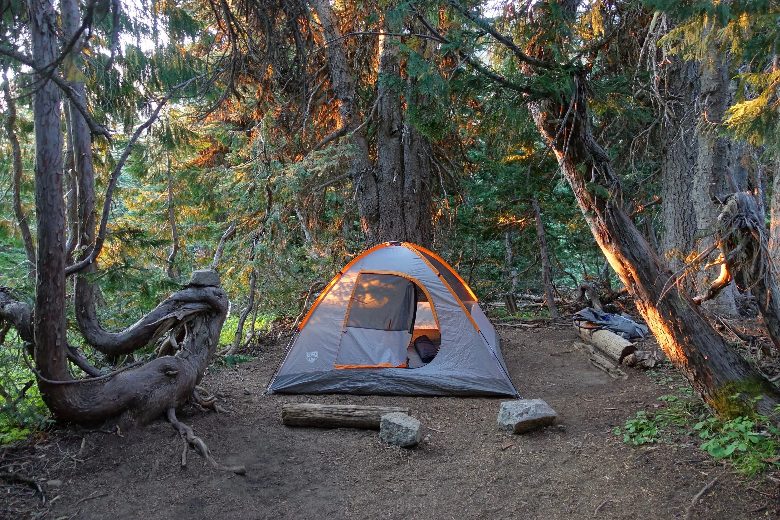
Just enough room on the summit for the tent
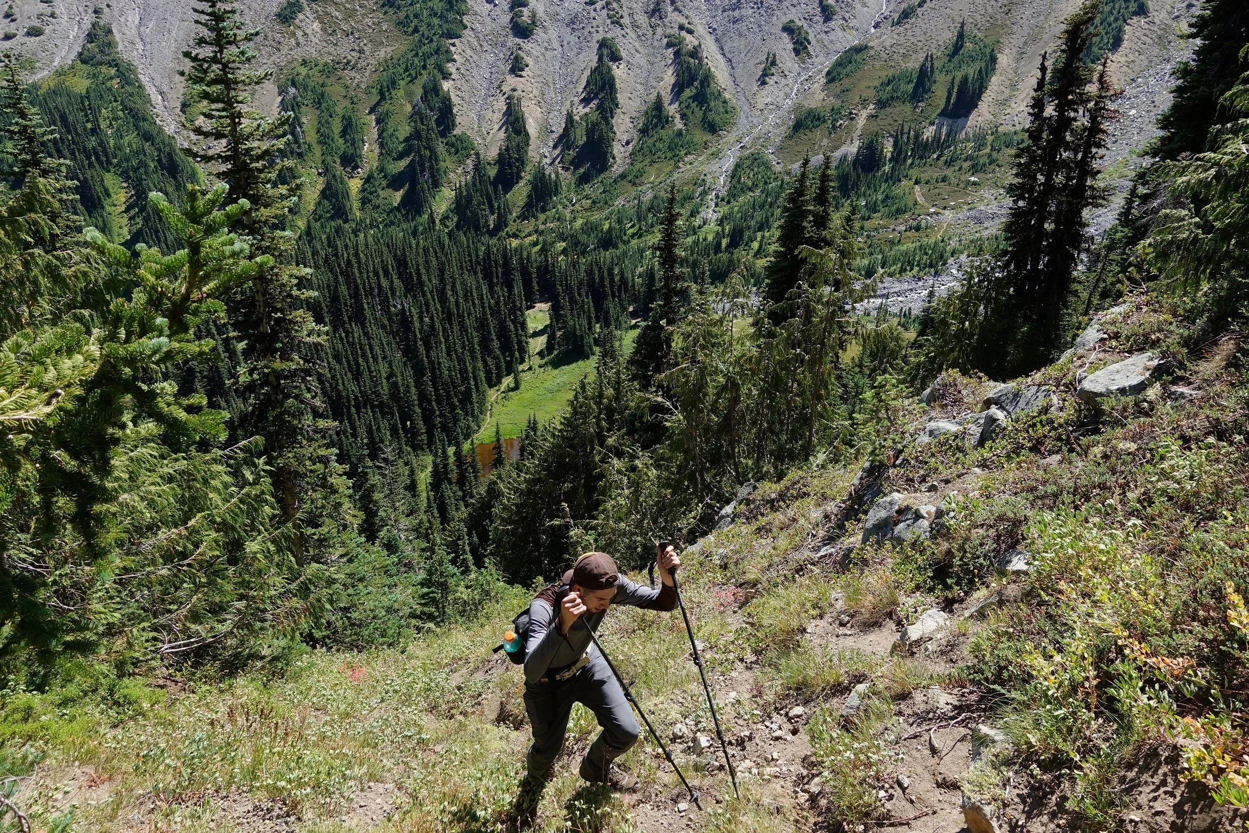
The final day was downhill into the forest along the Indian Creek Trail
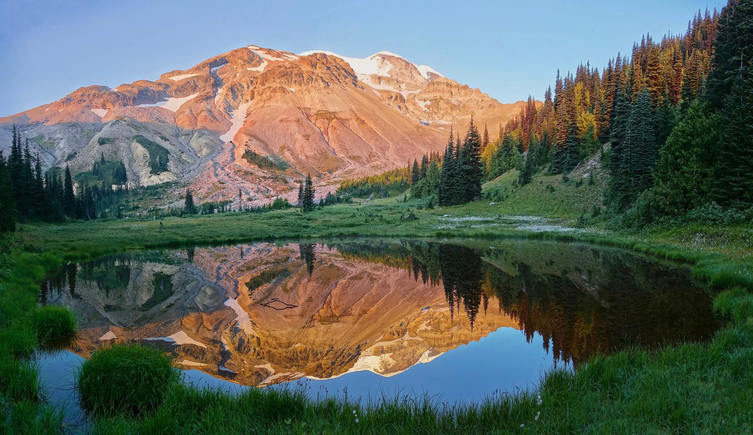
Mount Rainier National Park
Glacier Basin

Ben and I did a short overnight walk to Glacier Basin from the White River Campground in August 2017 (6 miles return, 1500ft gain)
The Inter Fork creek level was low so we found a way back to the Glacier Basin trail through to the trees
After reaching camp (brown lake below), we climbed off trail looking for a way to summit Burroughs mountain
Glacier Basin Camp
Sunrise on Mount Ruth with the tip of Rainier visible from our camp at Glacier Basin