Escalante Hiking Trails
Grand Staircase Escalante
Capitol Reef National Park
Capitol Reef National Park
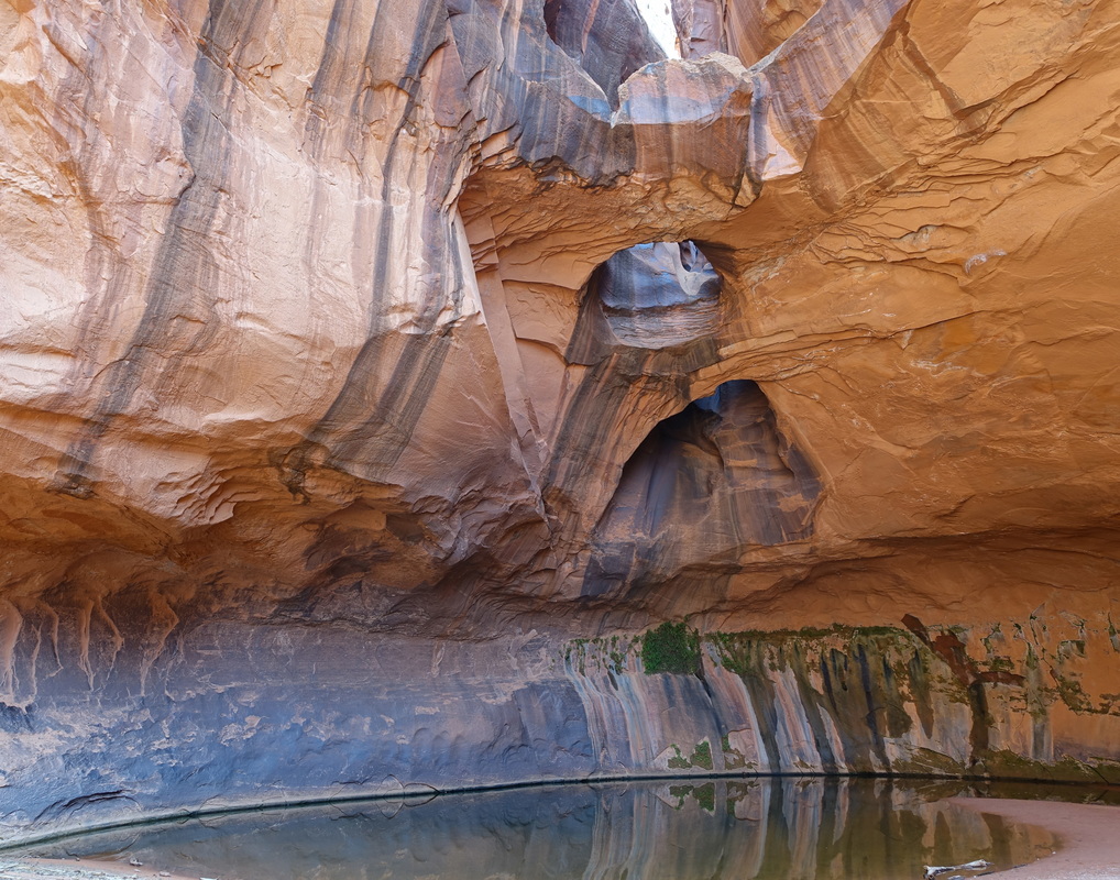
Golden Cathedral in Neon Canyon
The prettiest formation in Escalante is the Golden Cathedral (9.5 miles return, 1200ft). There are a couple of river crossings required and several areas along the river and inside Neon Canyon would make for good campsites. The road to the Egypt trailhead requires a high clearance vehicle and some extra time.
Trailhead: 16 miles down Hole-in-the-Rock turn left on a road marked with a sign "Egypt 10 miles" and continue to the trailhead at the end of the road
Trailhead: 16 miles down Hole-in-the-Rock turn left on a road marked with a sign "Egypt 10 miles" and continue to the trailhead at the end of the road
Coyote Gulch
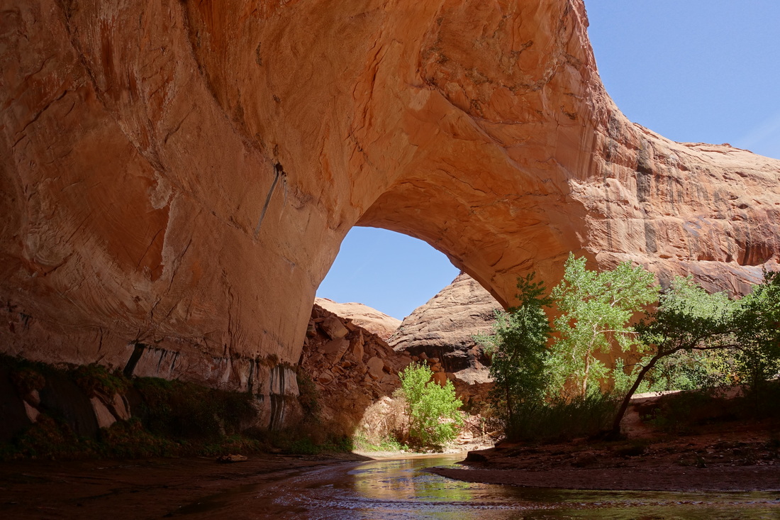
The sneak route loop from the Forty Mile Ridge Trailhead allows you to see Coyote Gulch as a day hike while still allowing plenty of time in the canyon (16 miles). The climb out the sneak route is easily doable with a daypack. I would not go down into the canyon that way unless you bring a rope.
Trailhead: Water Tank parking lot to the Fortymile ridge trailhead then exiting the canyon out the sneak route
Trailhead: Water Tank parking lot to the Fortymile ridge trailhead then exiting the canyon out the sneak route
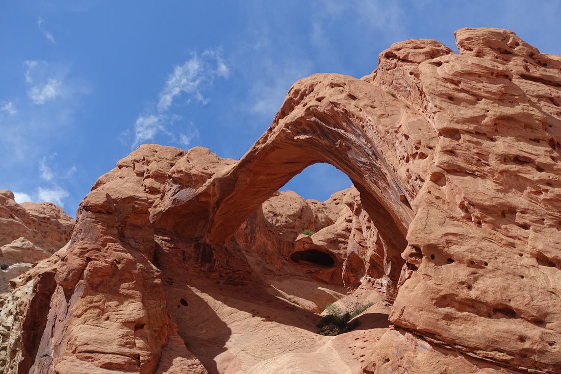
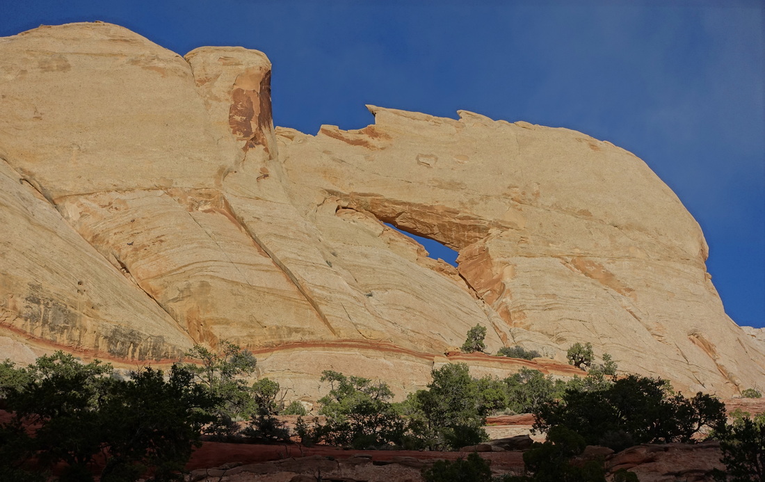
Sunset Arch
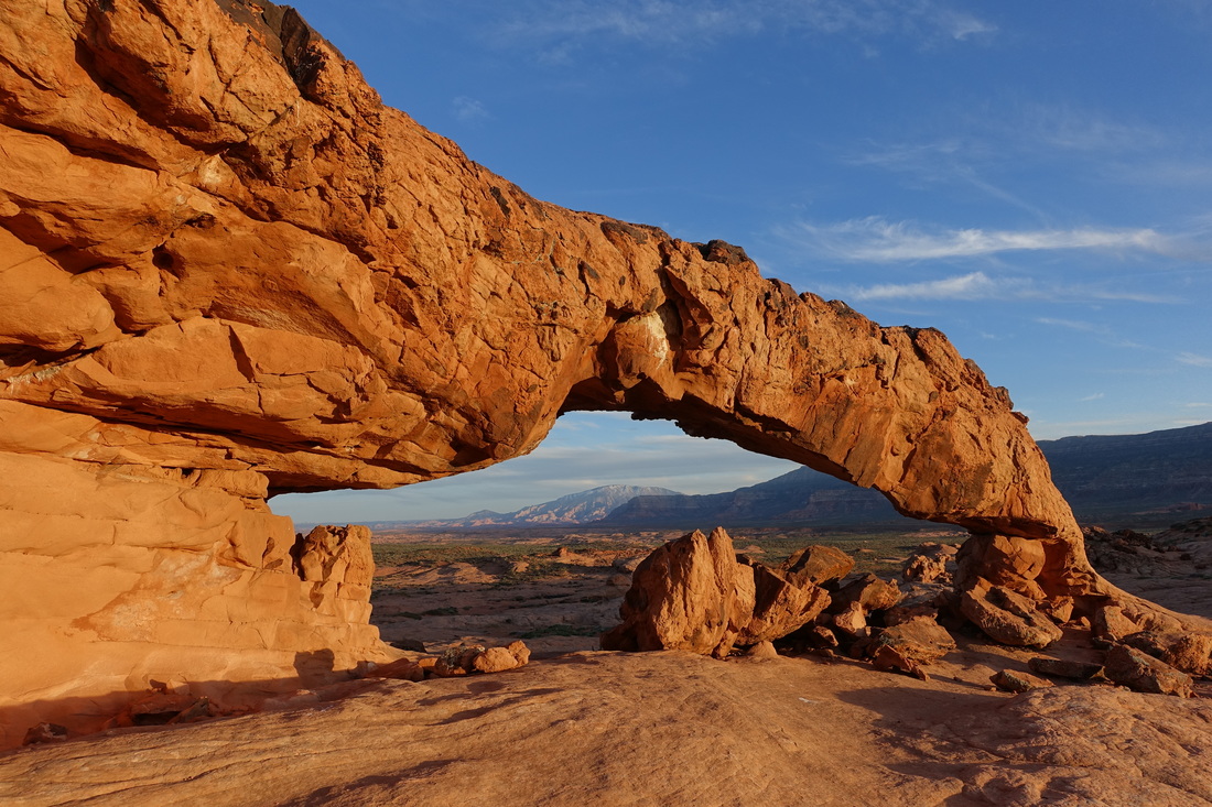
Great photography spot at sunset. After my visit, I discovered there is another nearby formation here called the resurrection stone.
Trailhead: There is no trail to the arch, park at the pullout on the right at 3.5 miles from the start of Fortymile Ridge Rd (BLM-270) and walk south for about one mile. A trench will need to be crossed once or twice depending on the route you take.
Trailhead: There is no trail to the arch, park at the pullout on the right at 3.5 miles from the start of Fortymile Ridge Rd (BLM-270) and walk south for about one mile. A trench will need to be crossed once or twice depending on the route you take.
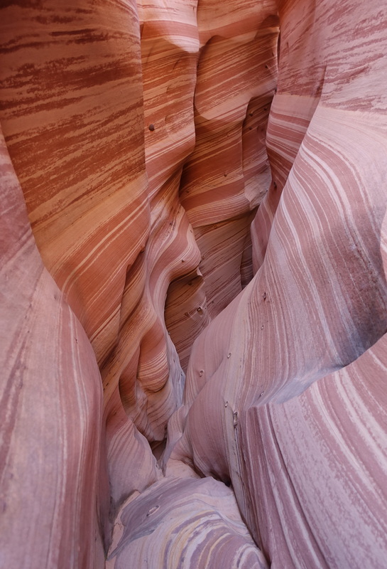
Zebra Slot Canyon
Trailhead: Carpark at 8 miles down Hole-in-the-Rock road on the right just past a cattle guard. Then cross the road and follow the path down Halfway Hollow to Harris Wash. Turn left when reaching Harris Wash to reach the Zebra slots
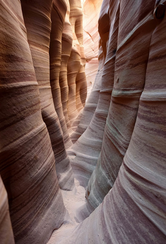
Distance: About 5 miles roundtrip with little elevation change. The canyon may be filled with water or completely dry. Some shimmying is needed to reach the upper canyon pictured on the right.
Distance: About 5 miles roundtrip with little elevation change. The canyon may be filled with water or completely dry. Some shimmying is needed to reach the upper canyon pictured on the right.
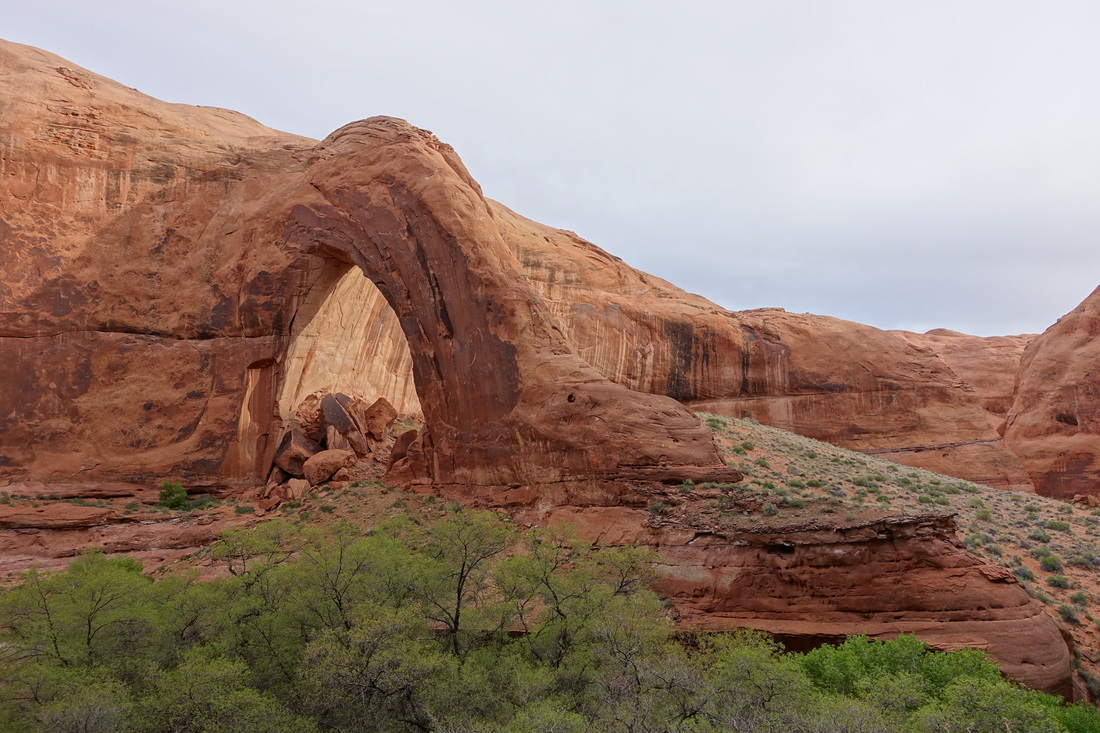
Broken Bow Arch in Willow Gulch
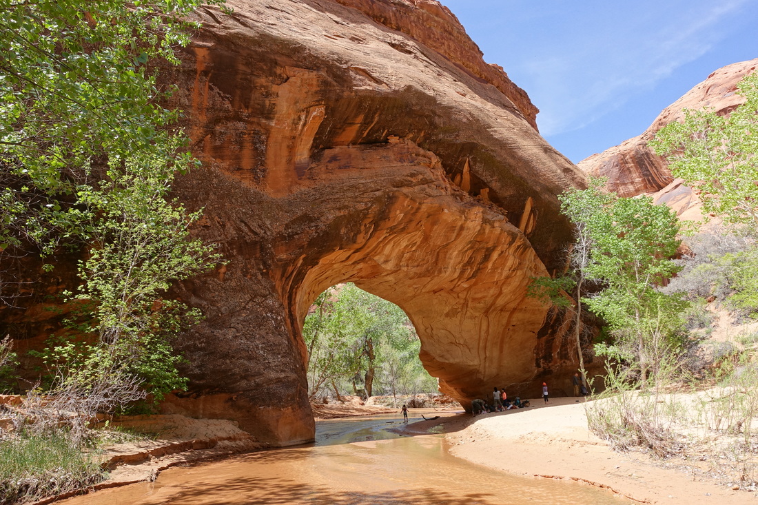
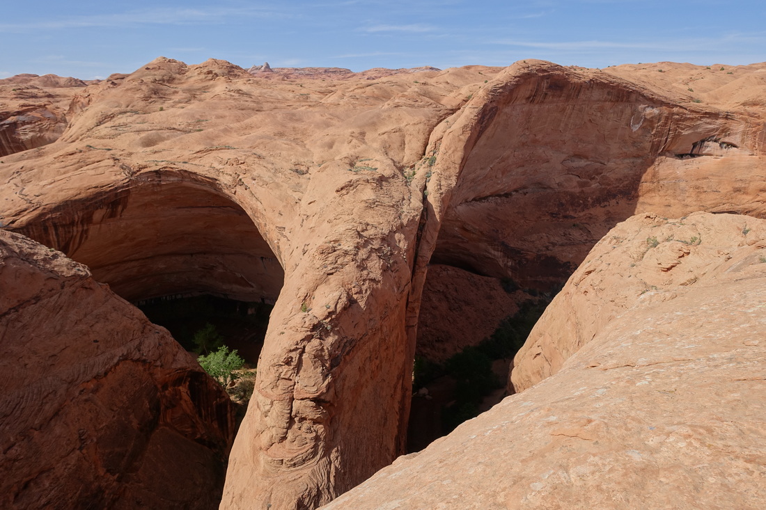
The most reward for the least amount of effort in Escalante. Few people travel far enough down Hole-in-the-Rock to reach Willow Gulch and I had the area to myself. The alcove across from the arch made for a memorable campsite.
Trailhead: The road is unmarked unless you look closely there is a small reflector that says BLM-276. I found it best to combine this trip with Coyote Gulch as it is only five miles south of Fortymile Ridge.
Distance: Four miles roundtrip to Broken Bow Arch with 400 feet elevation loss going down into the gulch from the trailhead
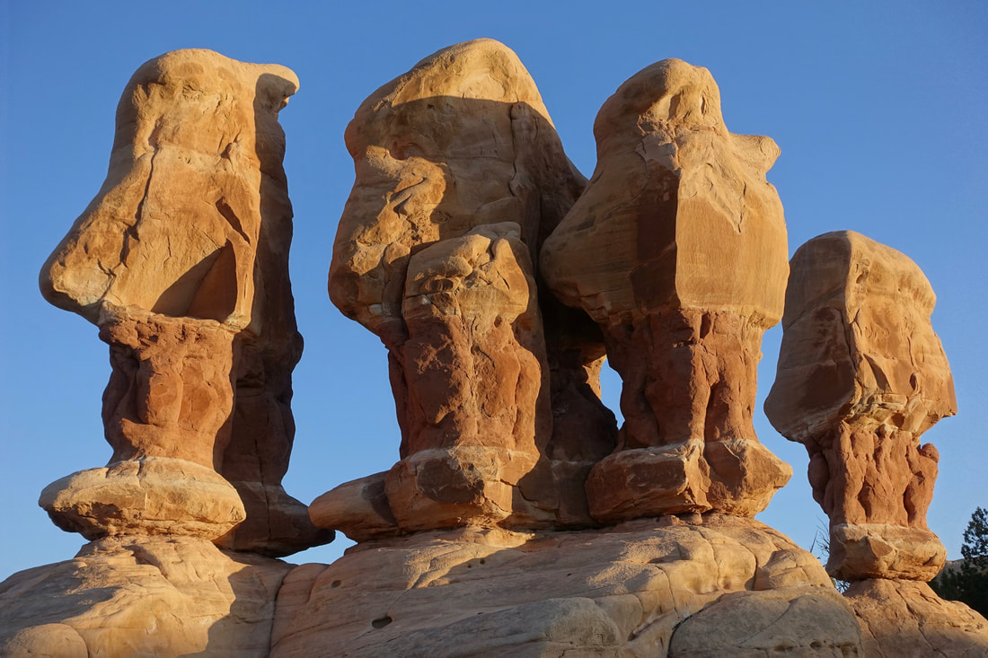
Devil's Garden
Upper Muley Twist Canyon
Where: Capitol Reef National Park, Utah
Distance: 9.4 mile loop with 800 ft elevation gain to reach the Rim Trail
Trailhead: Upper Muley Twist Trailhead is a few miles off the Burr Trail Rd.
The Canyon trail portion of this hike has several arches on the west side. They are unmarked and sometimes exploration is needed to get a better view. If coming from Boulder or Escalante, the Burr Trail road traverses Long Canyon, which is worth the drive even if you aren't doing any hiking. The Upper Muley Trailhead road says it requires 4WD but it was passable in a non-4WD high clearance vehicle.
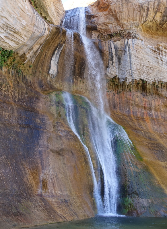
Lower Calf Creek Falls
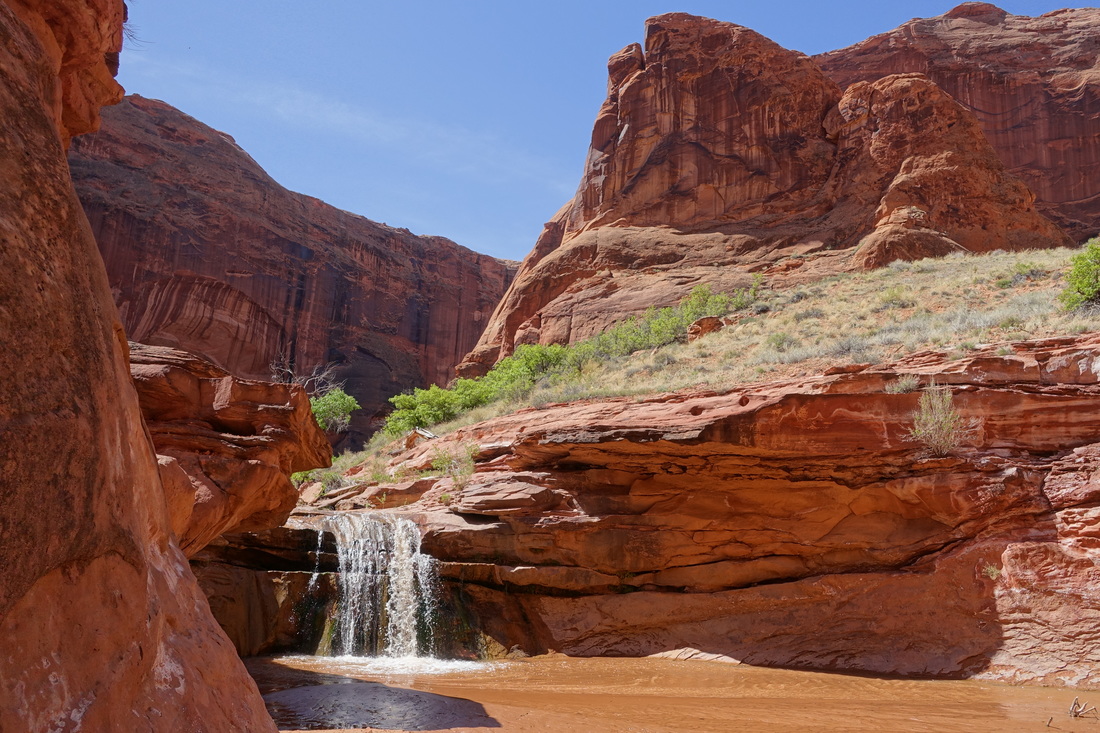
A great short day hike directly off highway 12 at Calf Creek Campground (6 miles return).

