Death Valley National Park
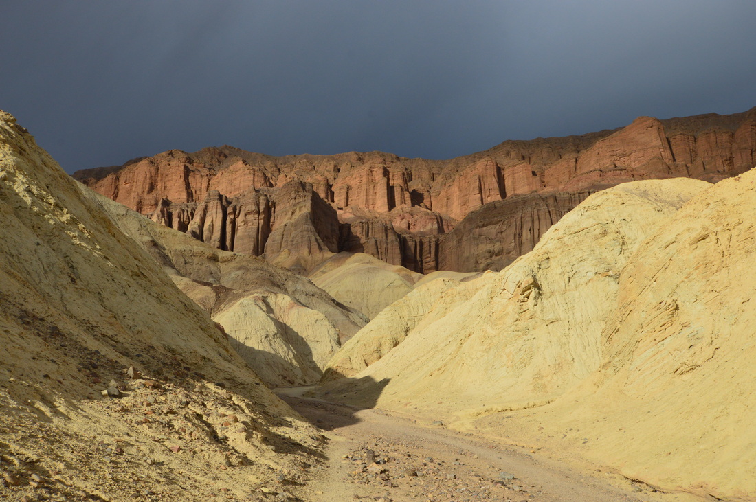
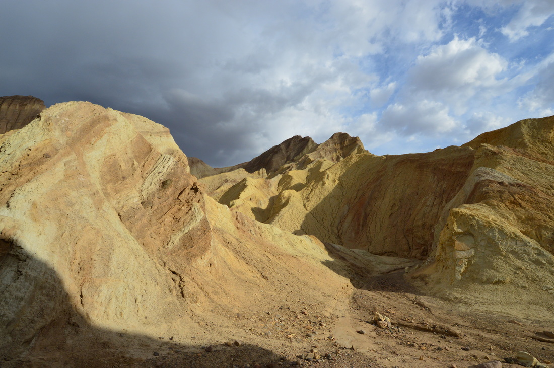
Golden Canyon Trail
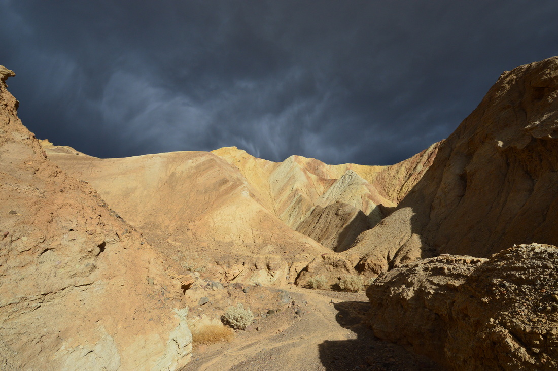
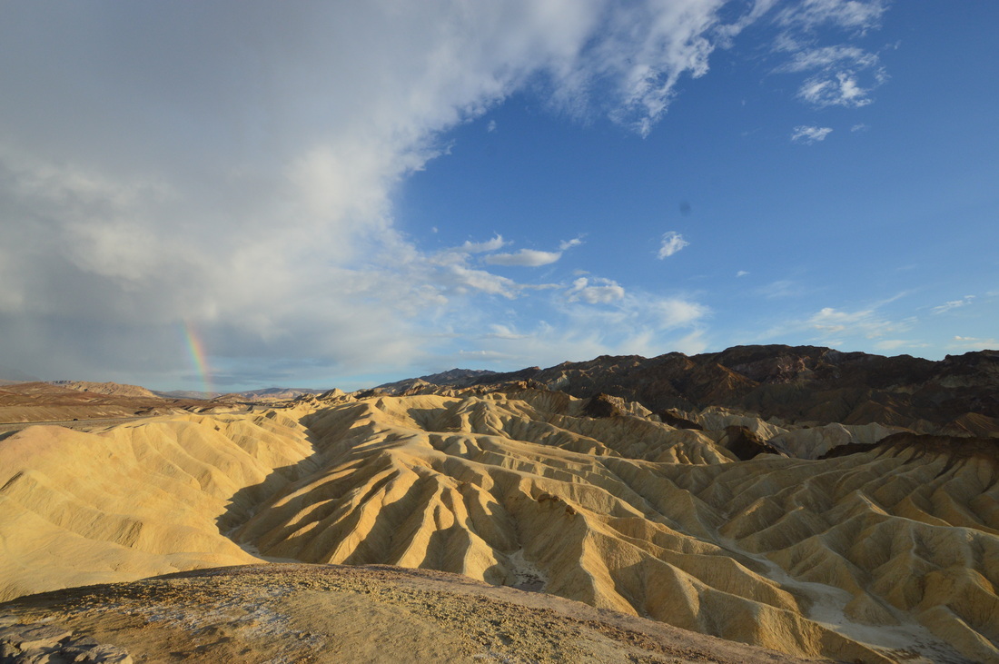
It would be possible to hike to Zabriskie's Point (5 miles), but I did not have a map so I opted to drive there instead. It was hard to discern the main trail from the drainage forks.
|
|
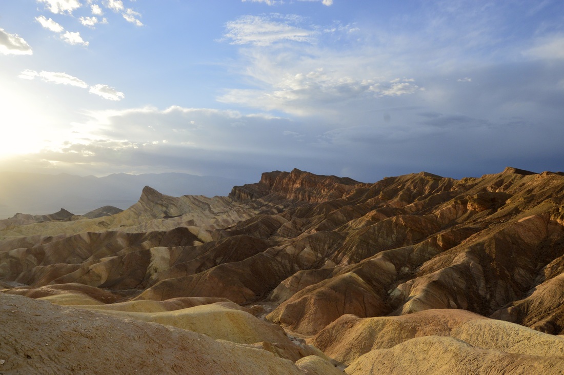
Zabriskie Point
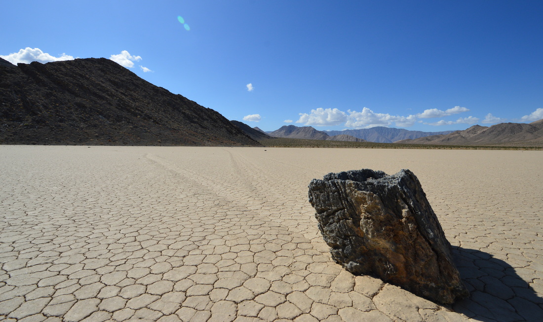
Racetrack Playa
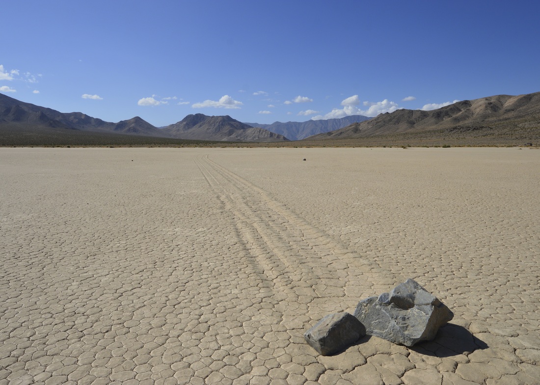
Trailhead: 30 mile drive south from Ubehebe Crater, high clearance vehicle needed but not 4WD
The southeast corner of the playa has the best rock displays. Continue past the "Grandstand" to the south end and hike out to the mountains where the rocks are falling down onto the lake bed. Rocks with GPS units were placed out on the playa to solve the mystery of how the rocks move, video can be found here.
Badwater Basin Salt Flats
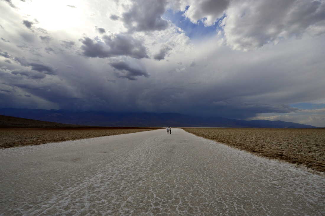
Lowest point in North America at -280 ft. Also one of the warmest, with the 11,000ft Telescope peak preventing heat from escaping the area
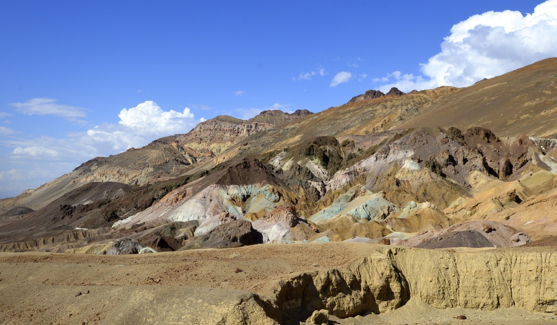
Artist's Palette |
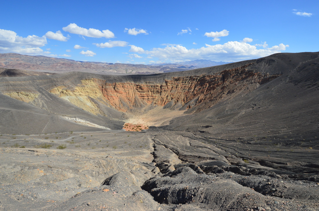
Ubehebe Crater |
|
|
Resources:
NPS Map
NPS Map