California Desert
Joshua Tree National Park
Chemehuevi Mountains Wilderness
Carrizo Plain National Monument
Joshua Tree National Park
In mid December I completed a three day backpacking loop in western Joshua Tree (45 miles)
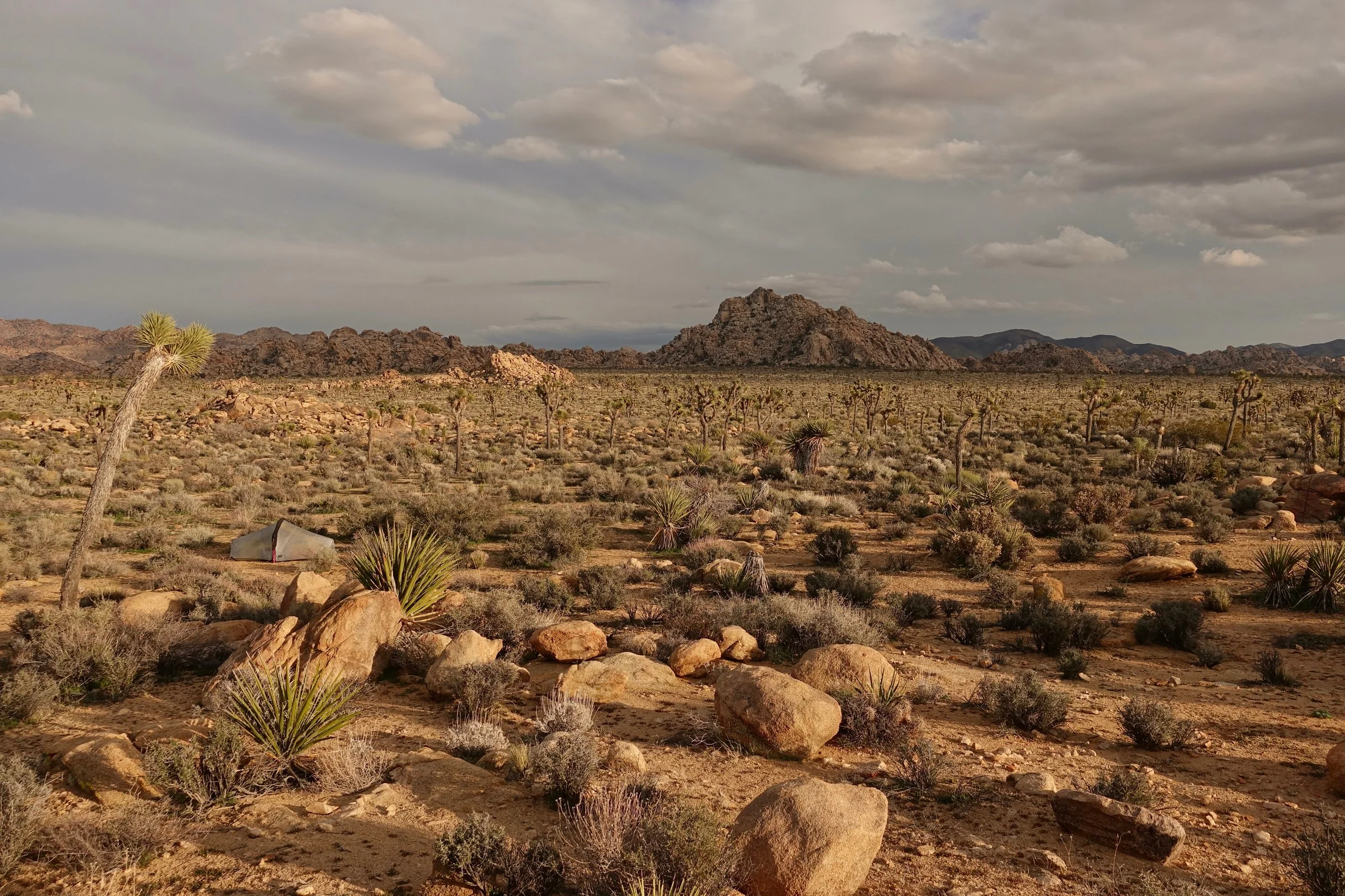
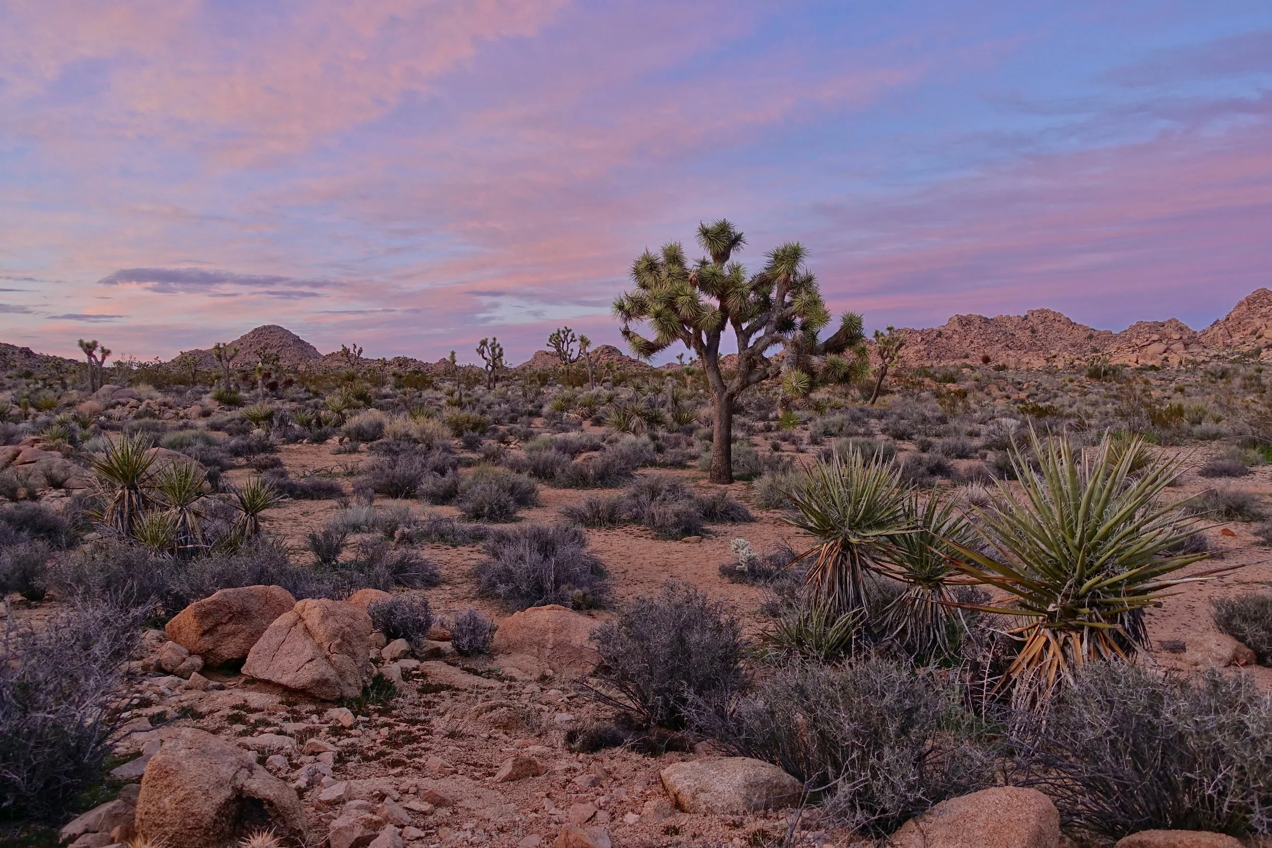
Evening campsite in the valley
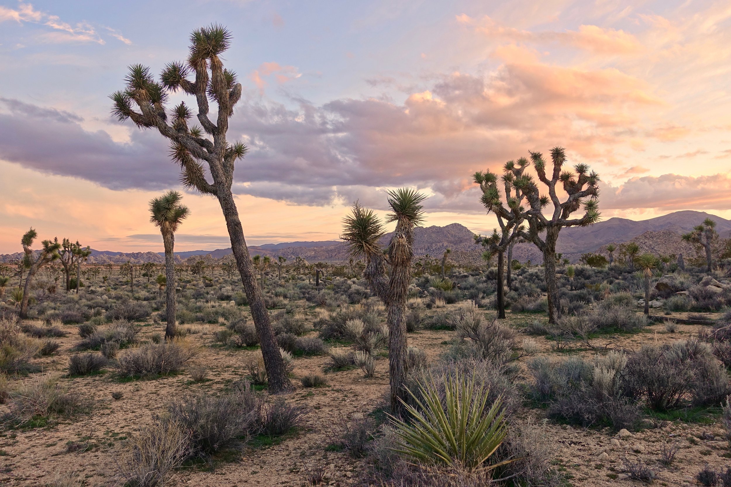
The area in the northern valley of park has the highest concentration of Joshua trees and boulder formations
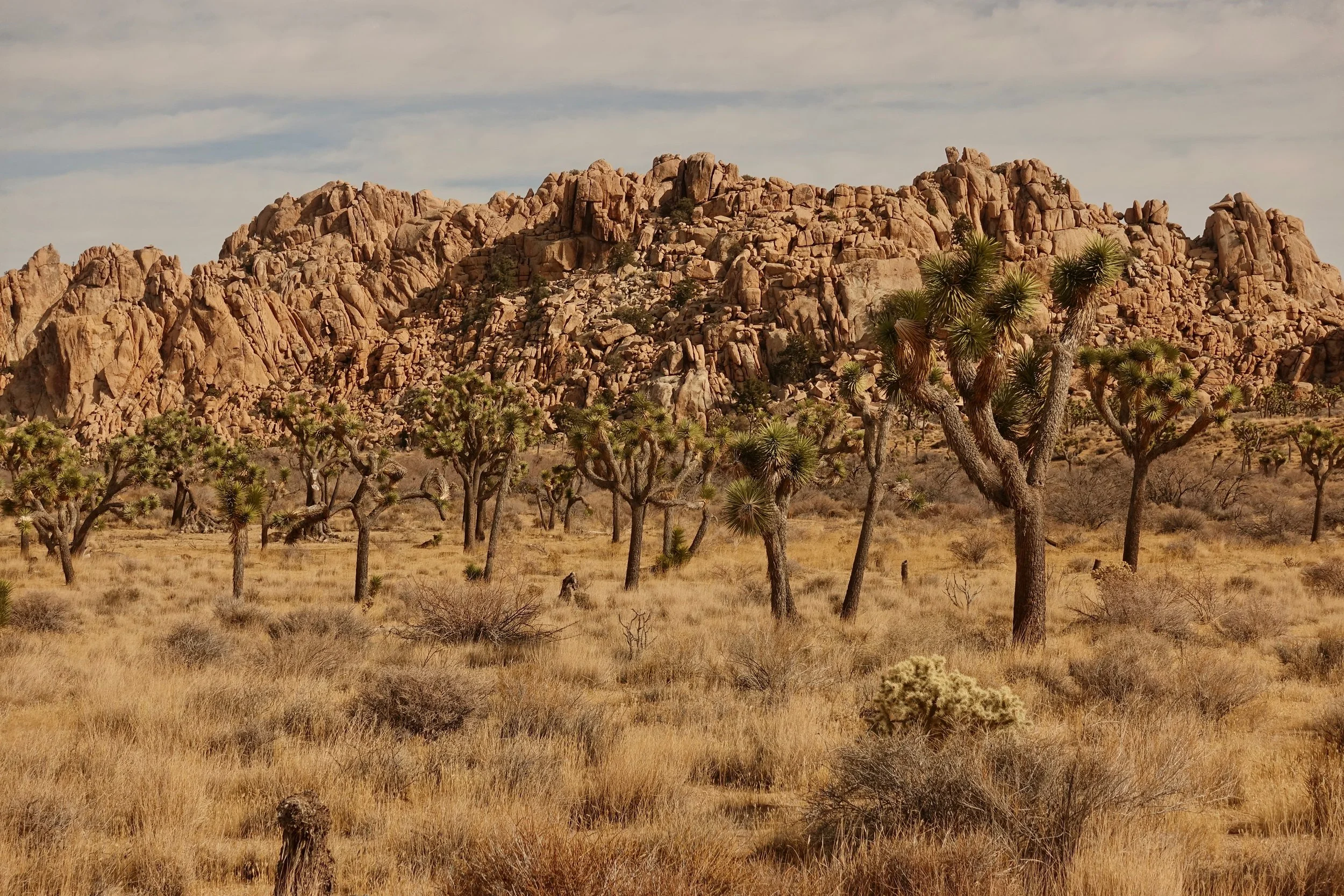
My favorite section of walk was in the Big Pine/Boy Scout Trail area
All water was stored at the three pins on the map at the Maze, Boy Scout and Juniper Flats trailheads.
The western mountains were less scenic than the main valley by the road. The California Trail would be a good alternative to walk outlined here if you have the transport for a one way hike. The other option I considered was a combination of the California Trail from the North Entrance to the Boy Scout Trail finishing at Indian Cove
Passing boulder formations near Hidden Valley
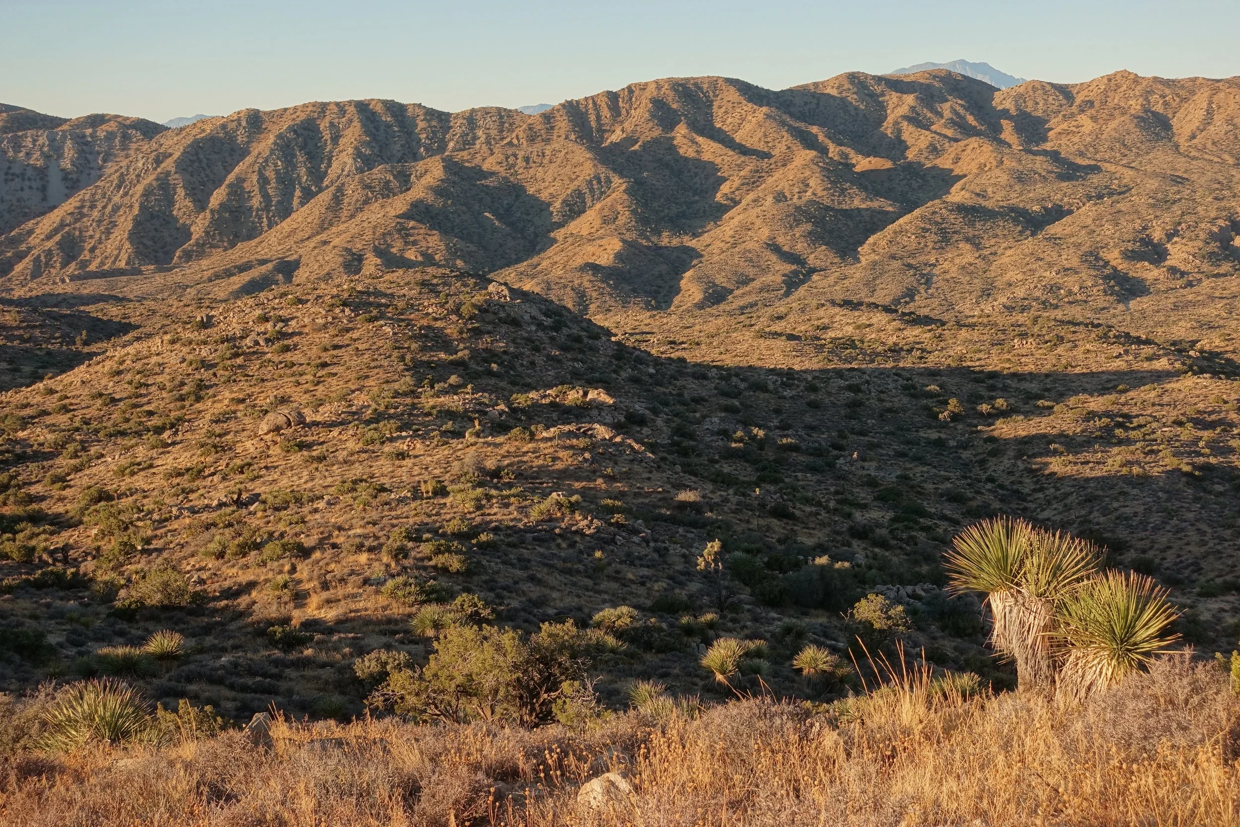
Back in the mountains to complete the loop on the final day to Black Rock
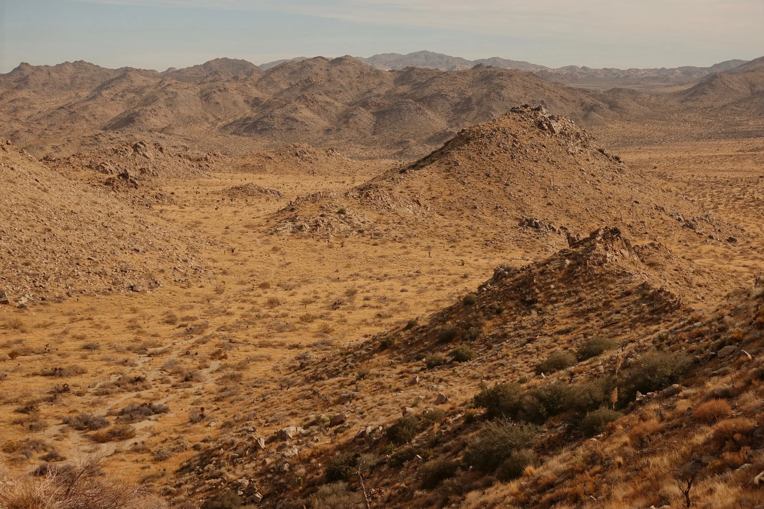
Chemehuevi Wilderness
In early February, I walked around the Chemehuevi Mountains Wilderness on the border of California and Arizona (34 miles, 3 days)
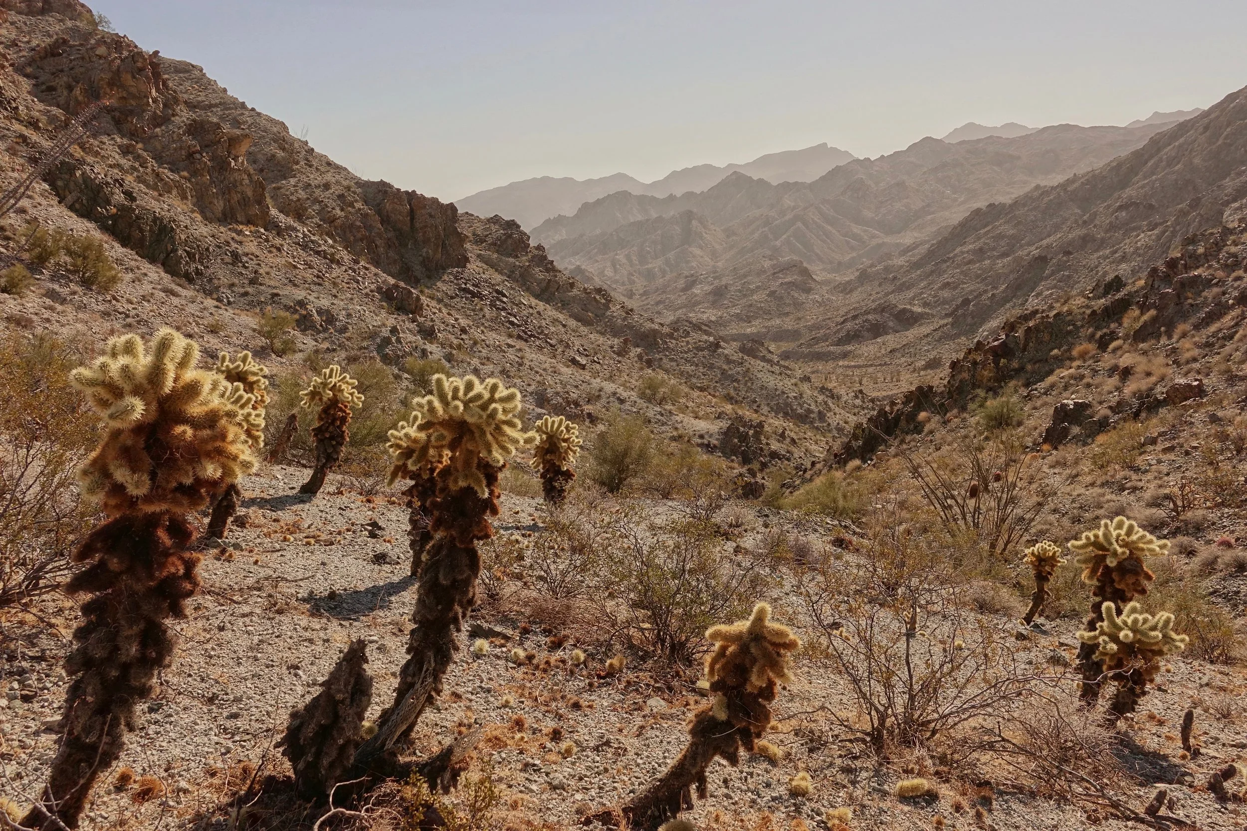
Crossing over the pass on the first day
The loop started at Snaggletooth going east through Trampas Wash and returning west through Red Rock Falls Wash. The river is lined with a wall of tamarisk, but there are two places to resupply water -- an inlet at the end of Trampas Wash and northeast of the main wash that leads into Devils Elbow (requires scrambling to get to a beach). Give yourself extra time for backtracking the ravines and canyons around the Colorado River, no easy way on day two. Burro tracks often help.
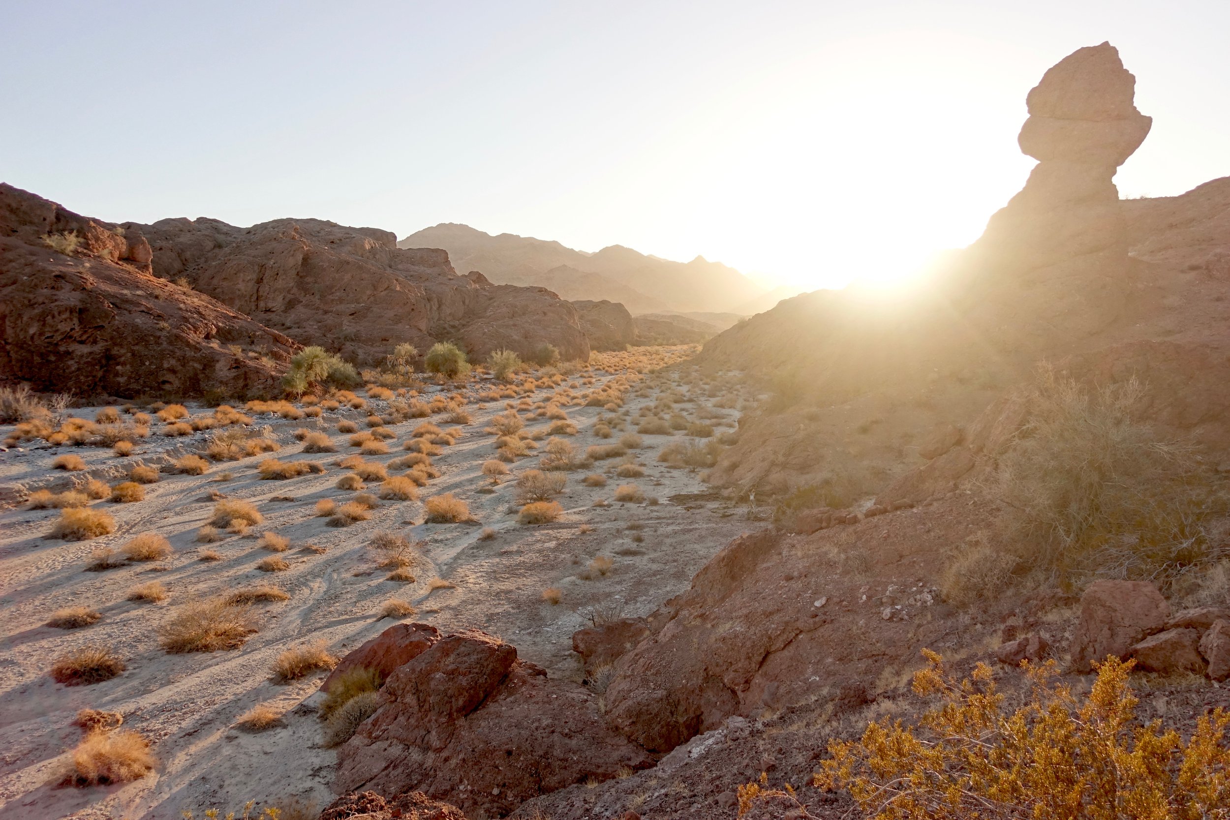
Sunset on the first night over Trampas Wash
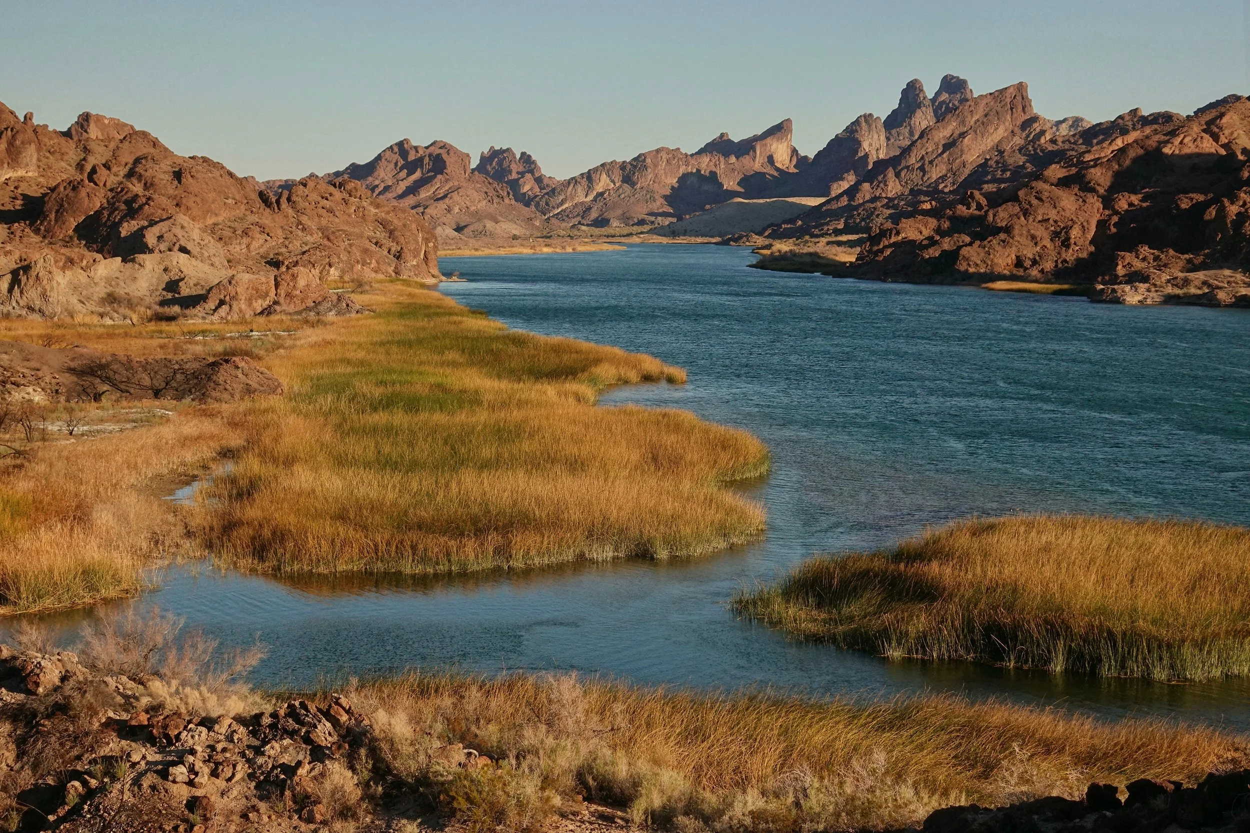
The Colorado River section was the highlight of the area, challenging terrain and beautiful when the river comes into view
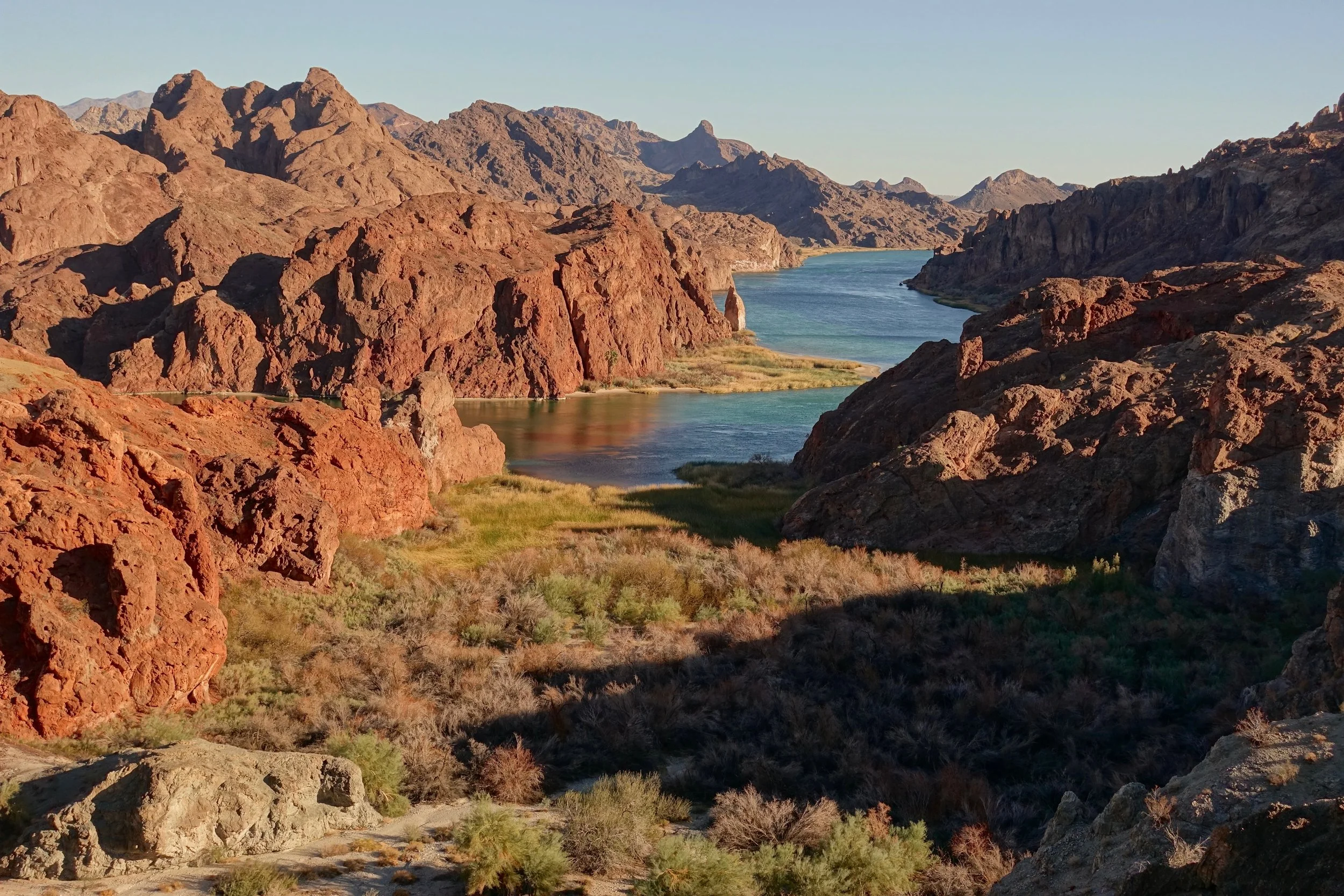
Devils Elbow of Topock Gorge
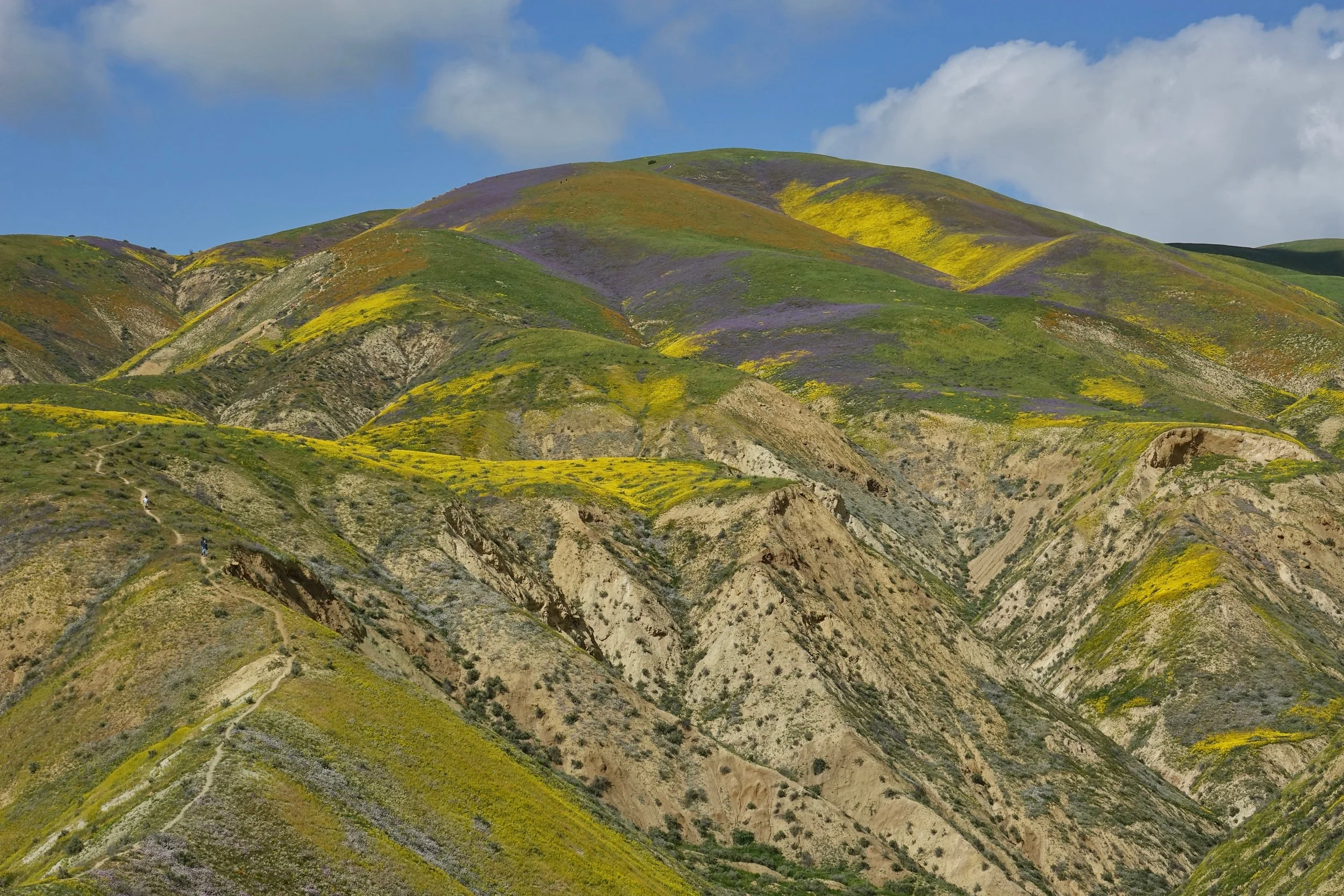
Carrizo Plain National Monument
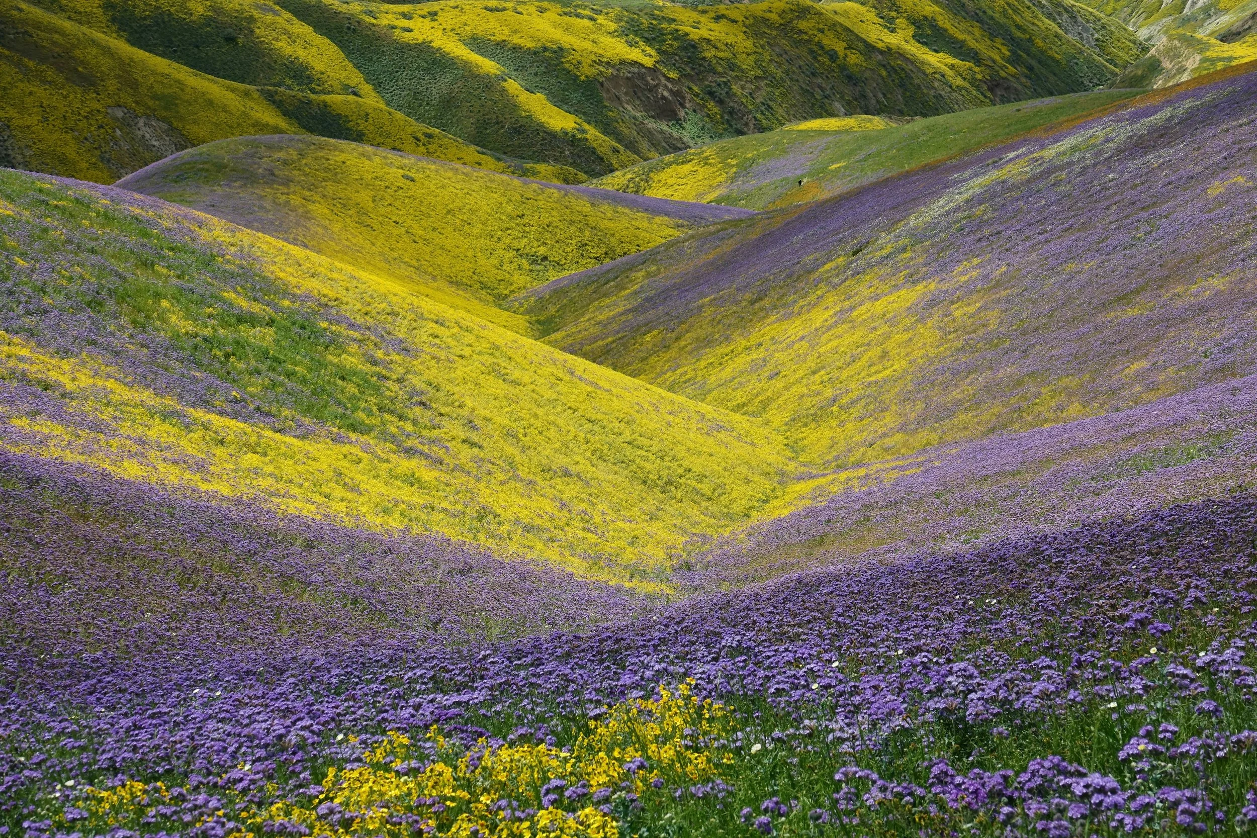
The superbloom in Carrizo Plain National Monument (2017). There is a clearly defined trail off Elkhorn Road, which starts at a wooden gate a few miles south of the Wallace Creek parking area
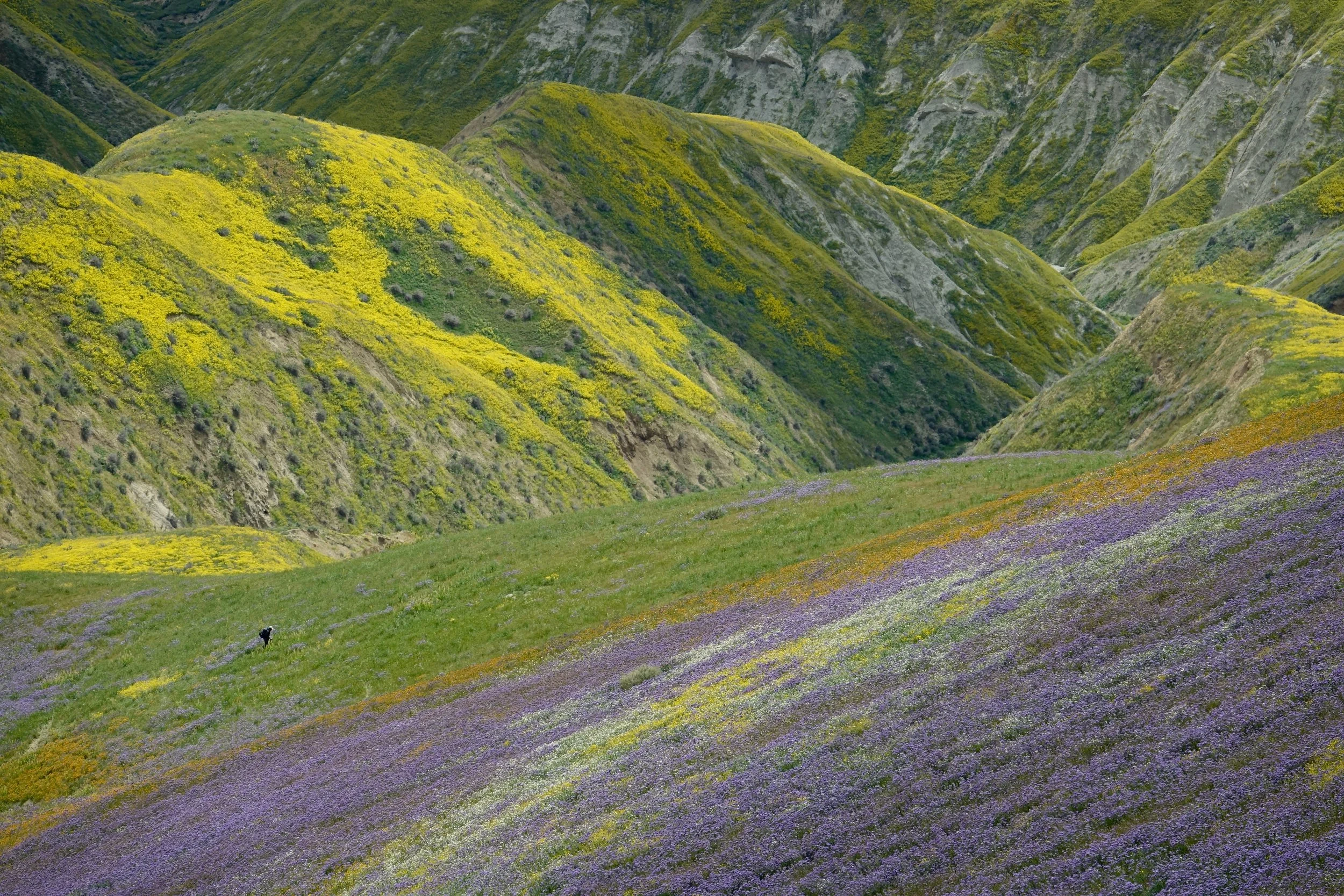
I visited the first week of April, peak bloom was the week prior in late March