Australia
Thorsborne Trail
Budawang Wilderness
Great Ocean Walk
Thorsborne Trail
In early May I walked the Thorsborne Trail, which goes along the eastern side of Hinchinbrook Island in Queensland for 20 miles
Permits are limited for the trail and a boat shuttle is required, I used Absolute North Charters out of Lucinda (2018)
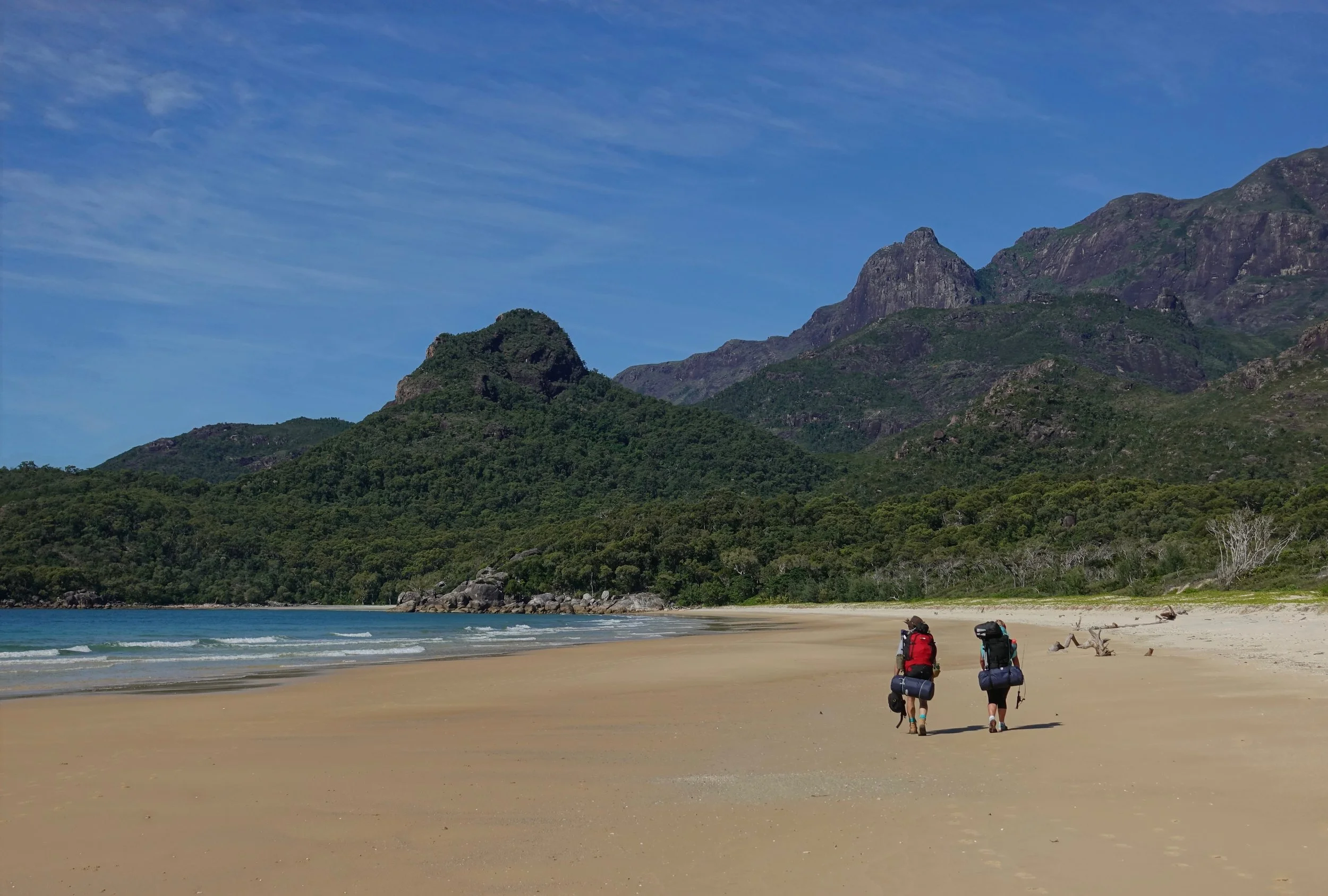
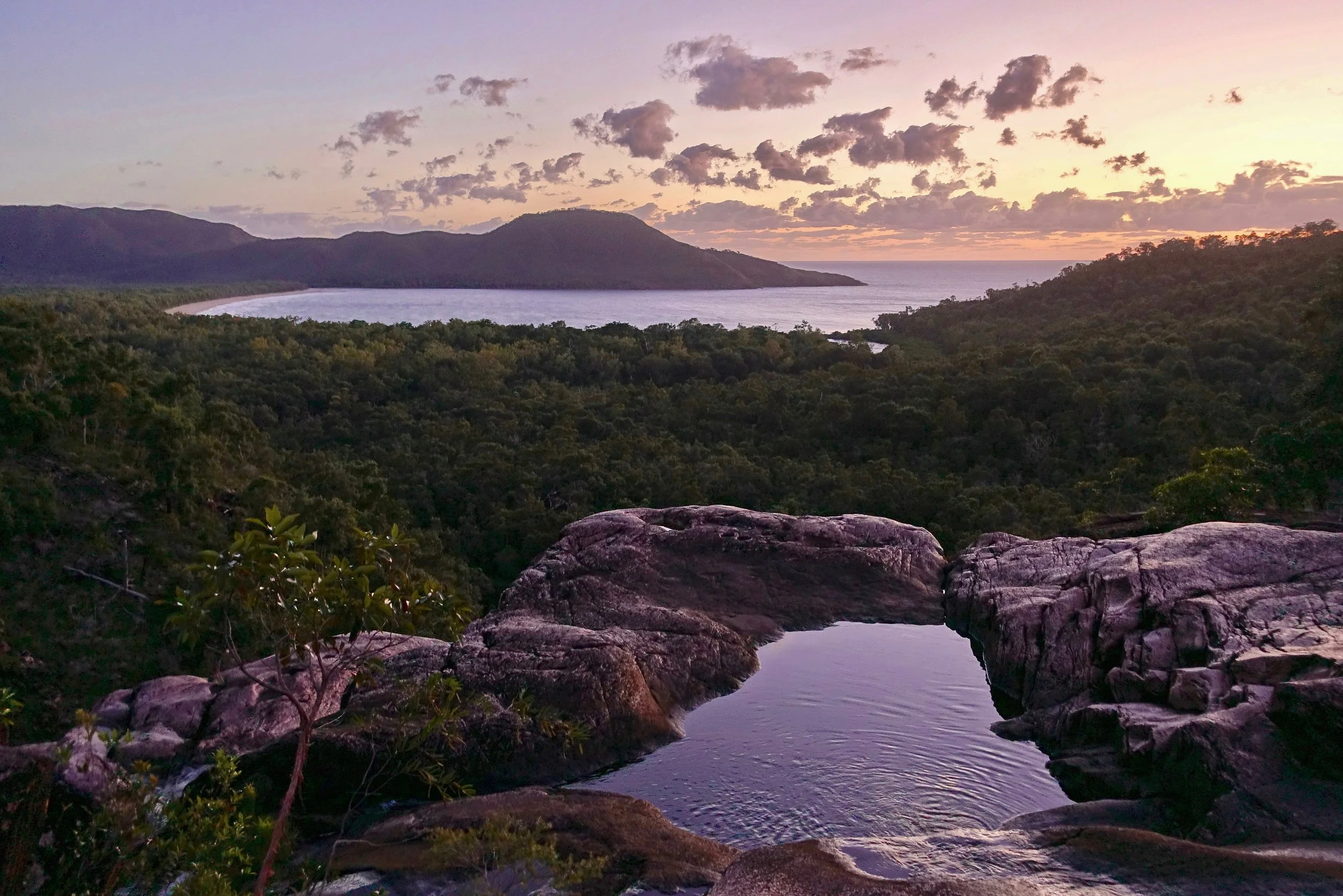
First campsite on the beach at Nina Bay, my favorite of the week
I did the walk in 5 days/4 nights from north to south therefore saving the swimming holes for the end. Many do the trail in 4 days/3 nights skipping over the Nina Bay campsite. If only doing three nights I would go Nina Bay-Zoe Bay-Mulligan Falls
Food storage boxes at the campsites, the rats were most active at Zoe Bay and Mulligan Falls swinging from the trees at night dropping some type of buckeye-sized fruit on the tent. They are known to chew through the bottom of your tent if food is left in your pocket
There are said to be less crocodiles on the eastern side. Still would not go for a night swim. I was even cautioned not to sit on the beach by some locals
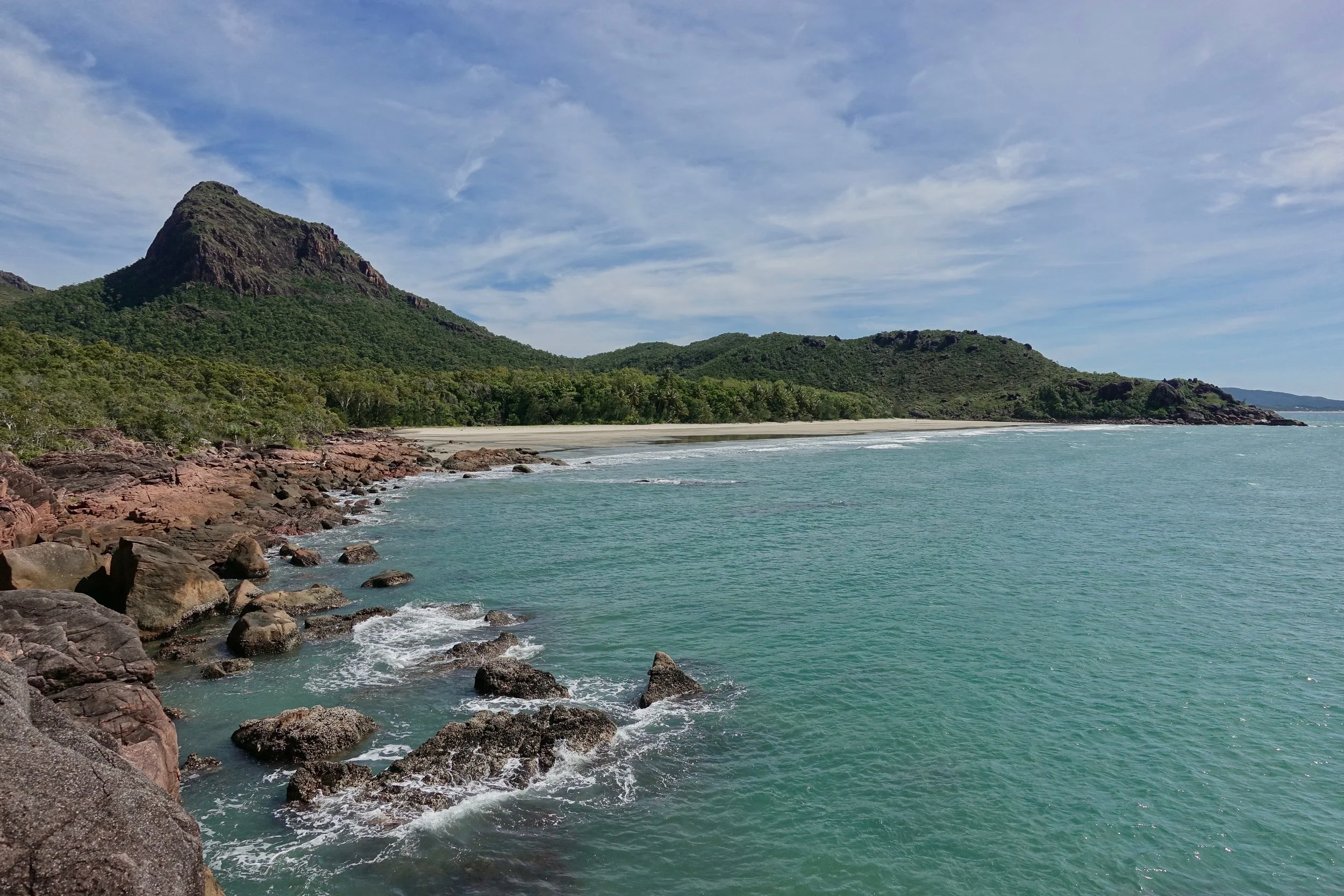
The walk from Zoe Bay to Mulligan Falls was exposed to sun and very hot, although no trouble getting water as May is the end of wet season
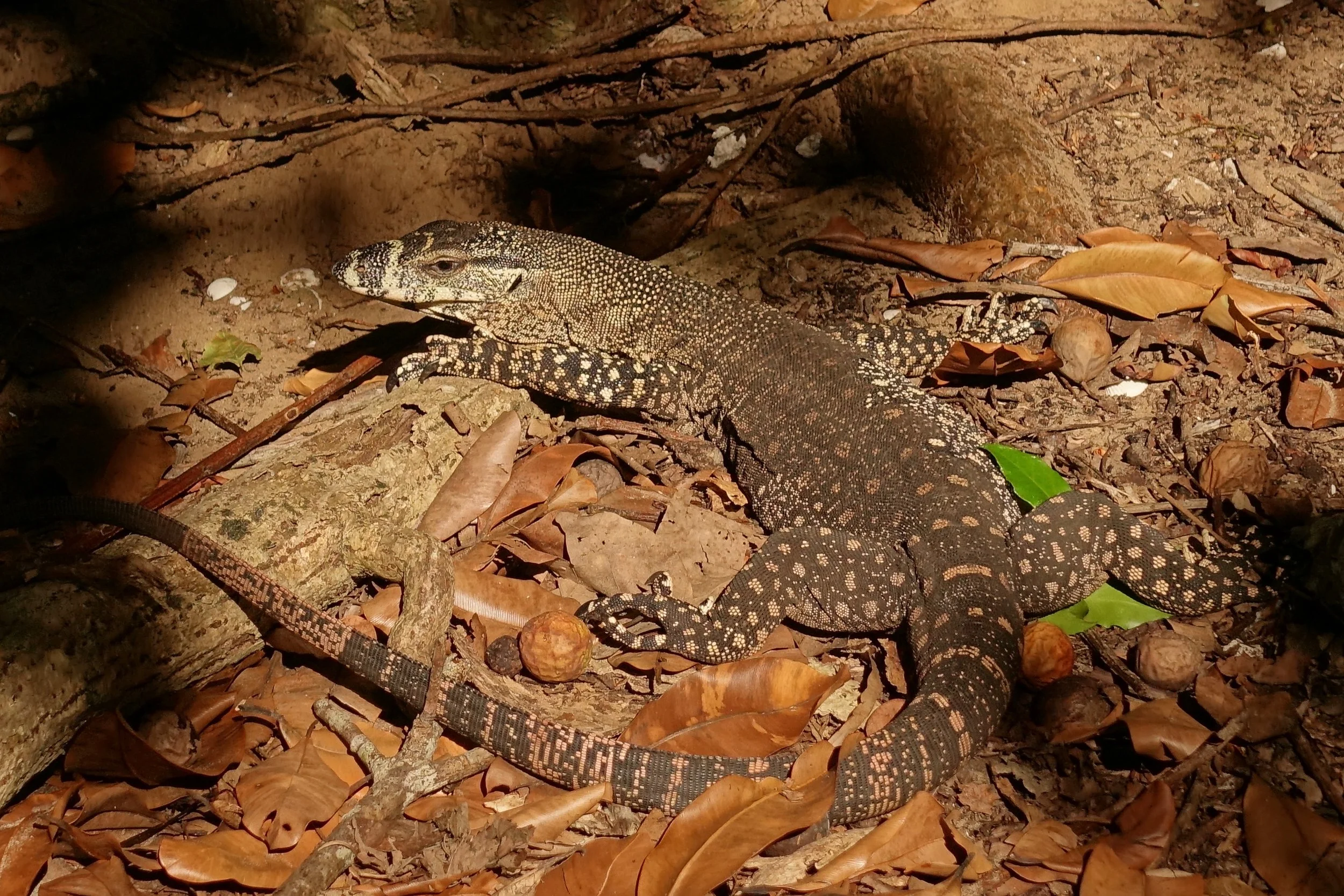
The Zoe Bay campground was the busiest, as boaters will drop people off here. This camp also has the most critters including a few goannas. This one was about 4 feet, half-sized or "just a baby" according to locals as they can reach 7 feet long
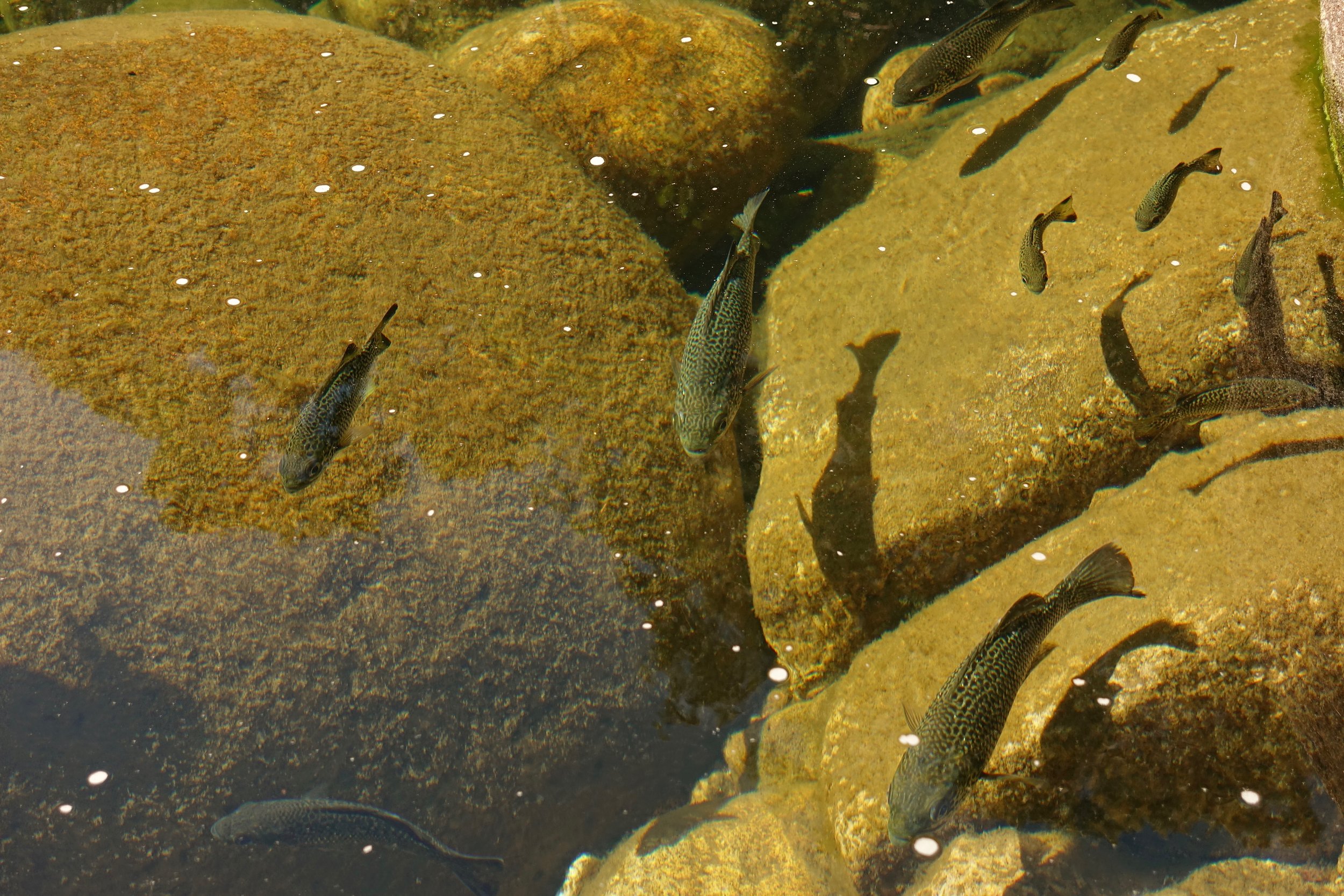
Curious fish in the one of the swimming holes
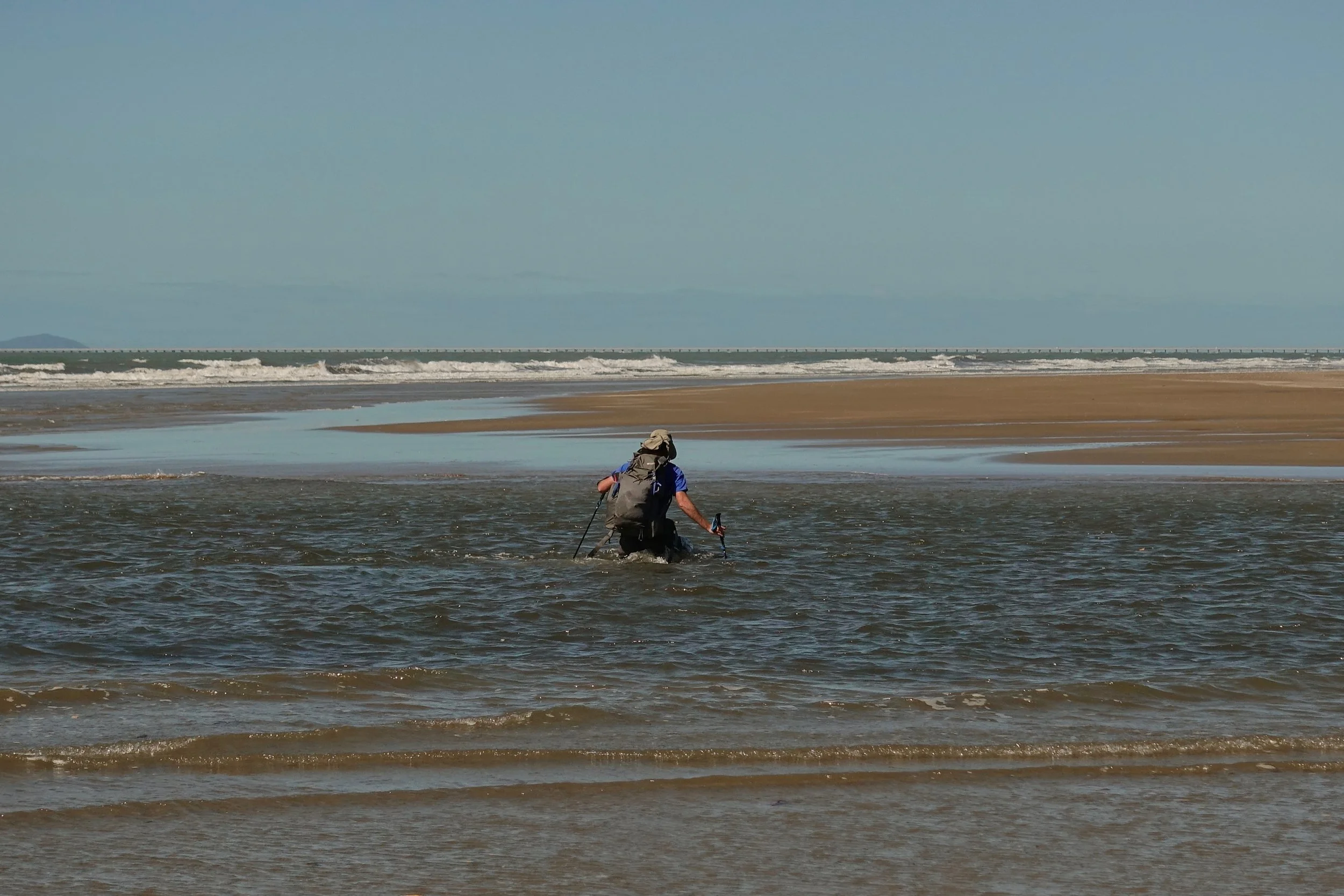
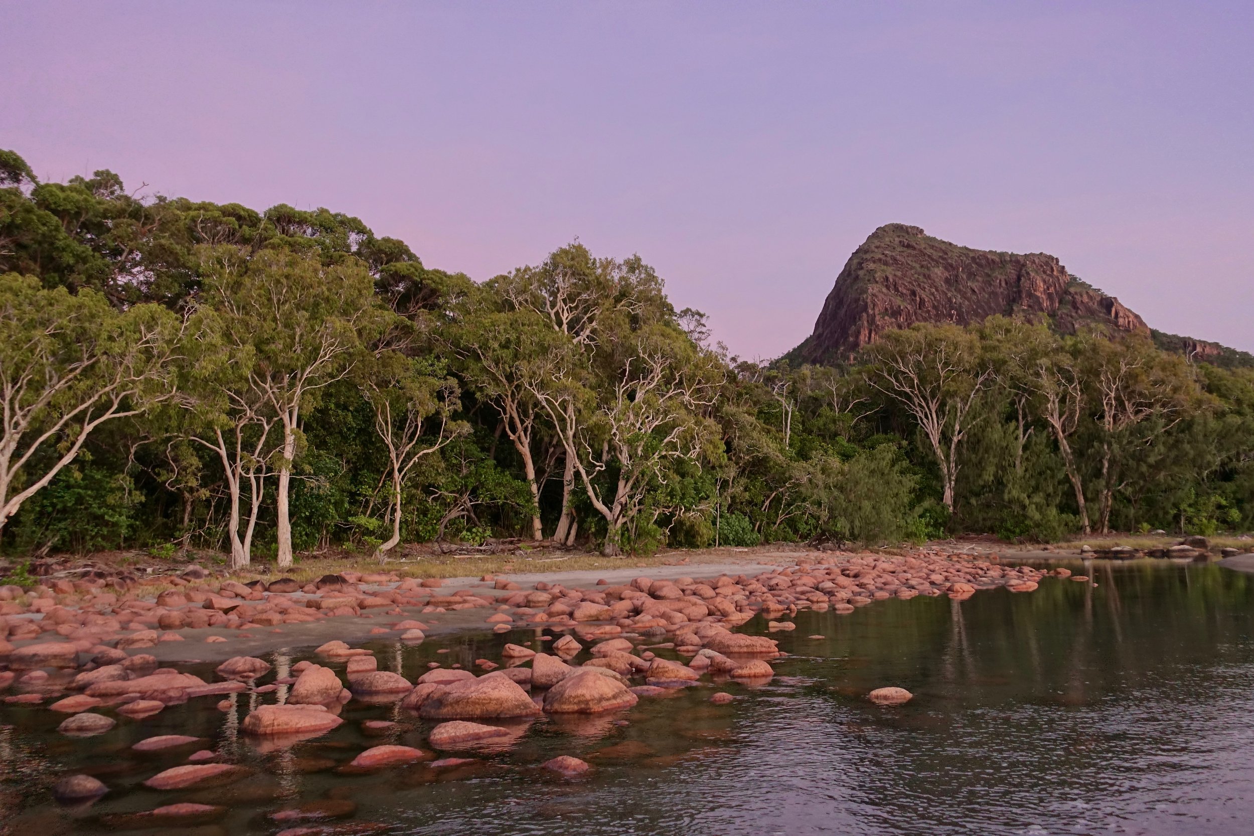
The final crossing at Mulligan Creek
Budawang Wilderness
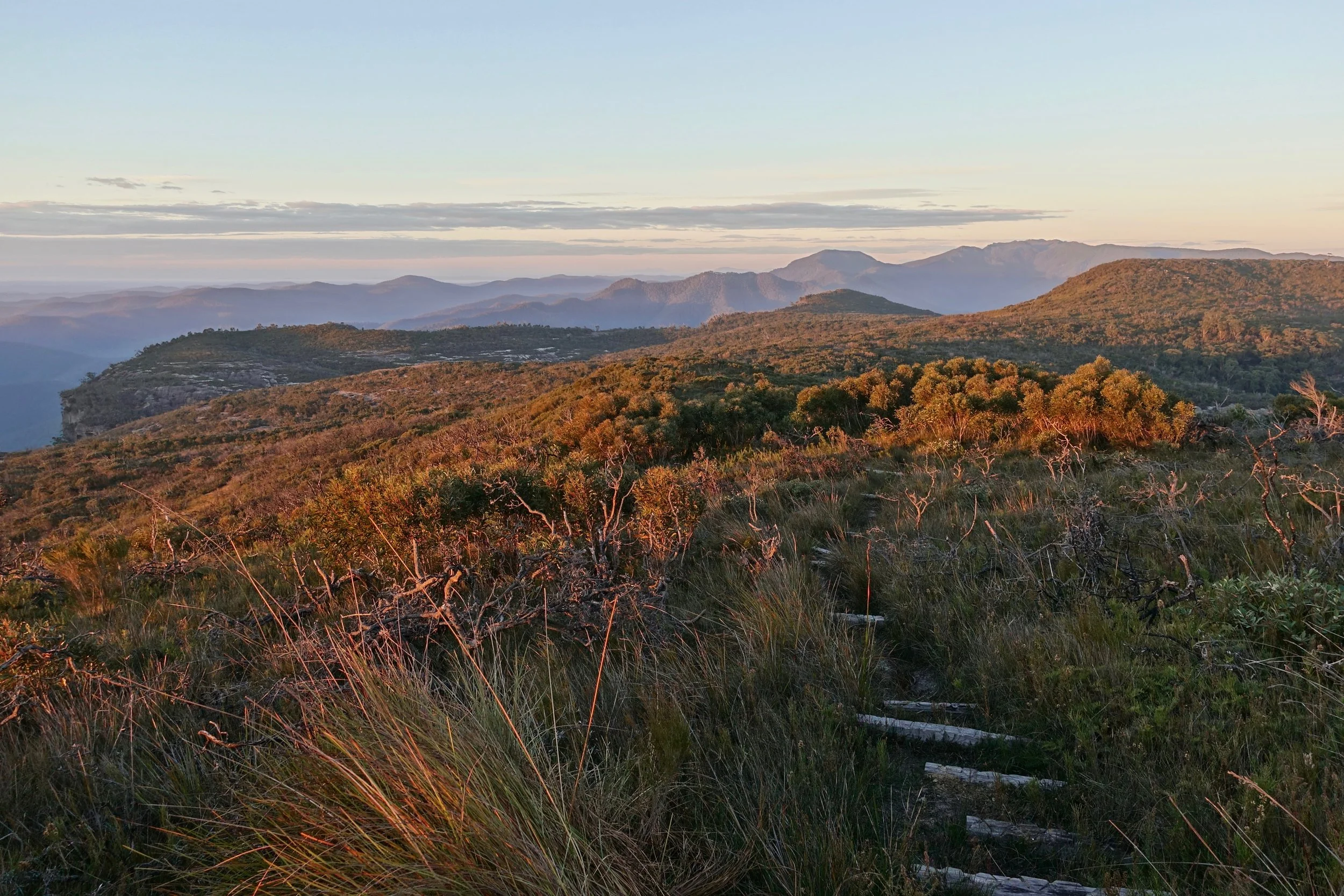
I started late afternoon at the Wog Wog campground trailhead on a four day walk to climb Shrouded God’s Mountain and the Castle
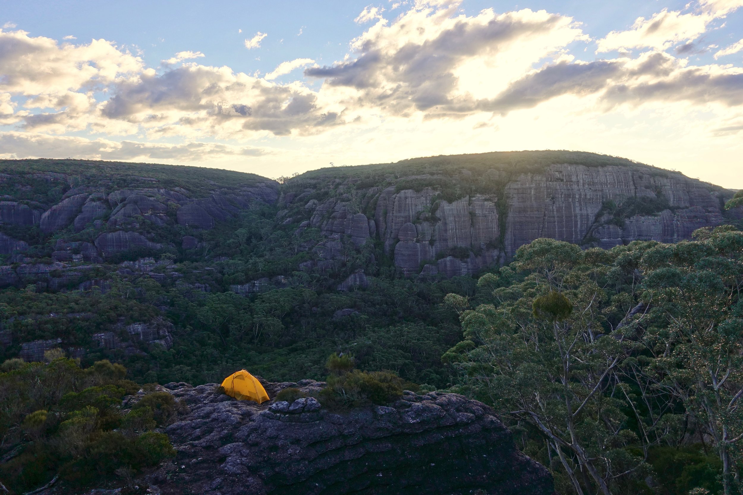
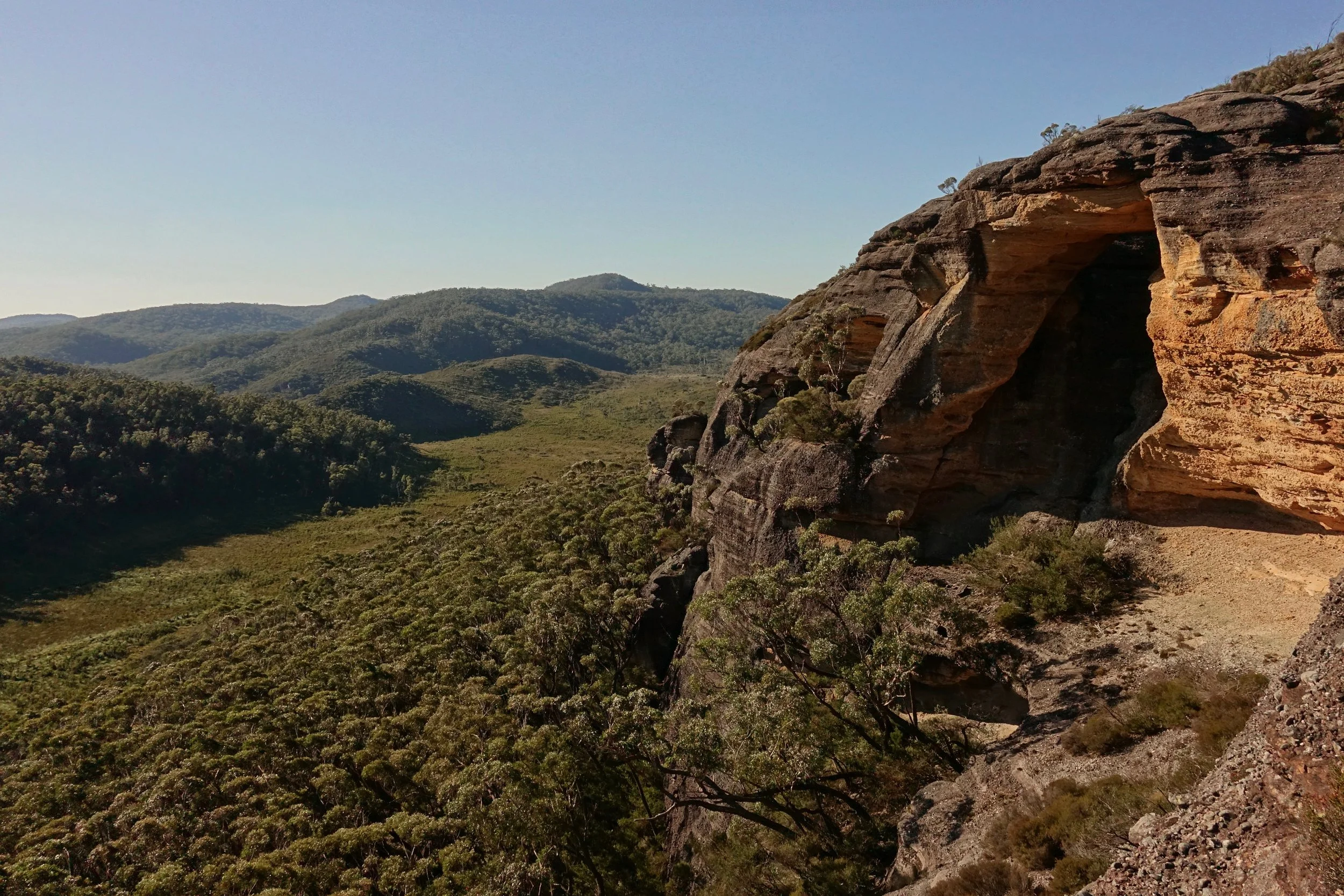
The route was sometimes difficult to follow on day two, a good map will be your friend here, the Corang 8927-3-N is all that is needed for the route. I went off-trail and climbed Shrouded Gods Mountain. I boiled water once I found a place to camp on the summit as there were no creeks flowing in the Monolith Valley after a dry summer
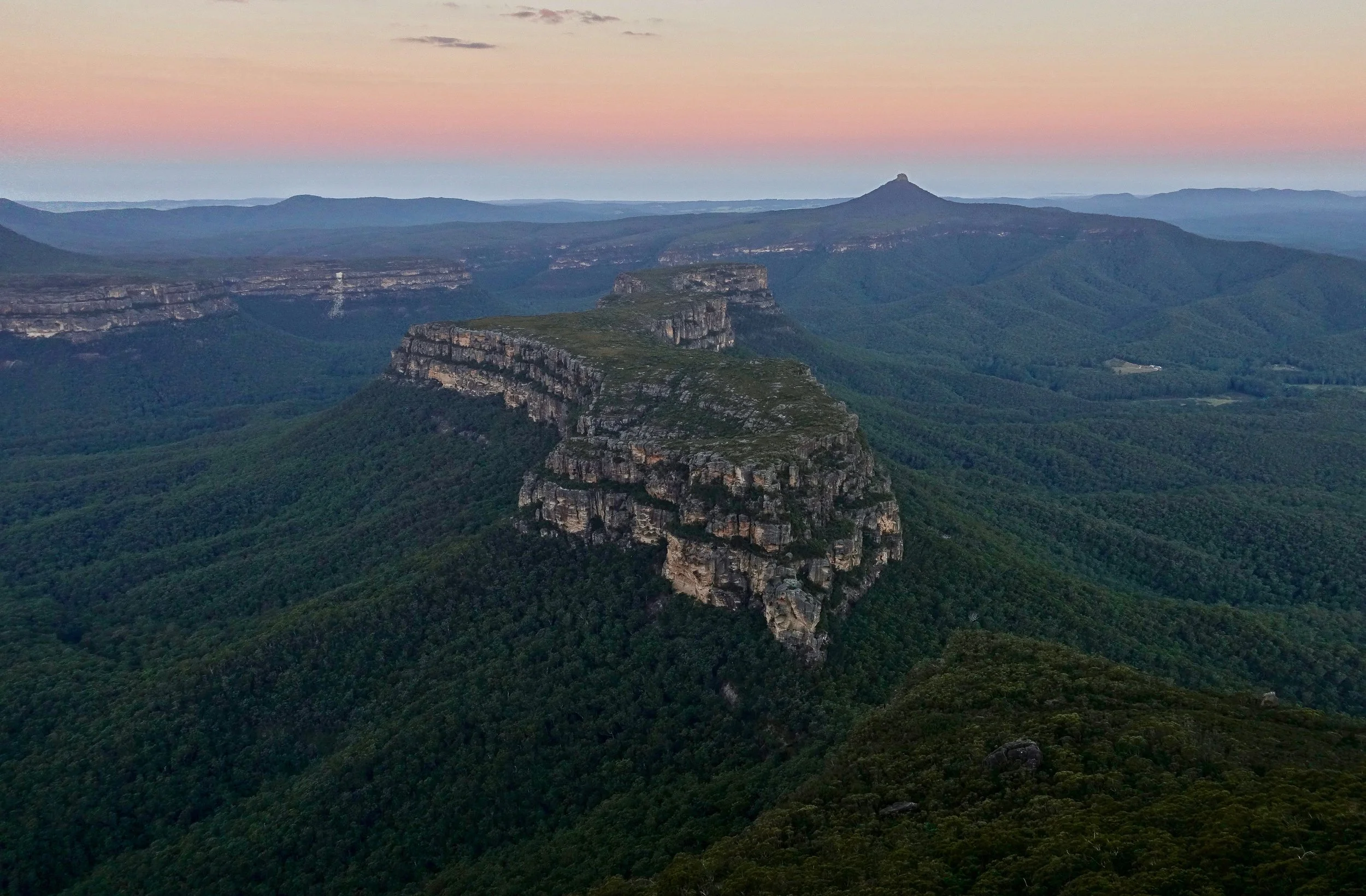
Mount Mooryan from Shrouded Gods Mountain
A reminder of the trail conditions
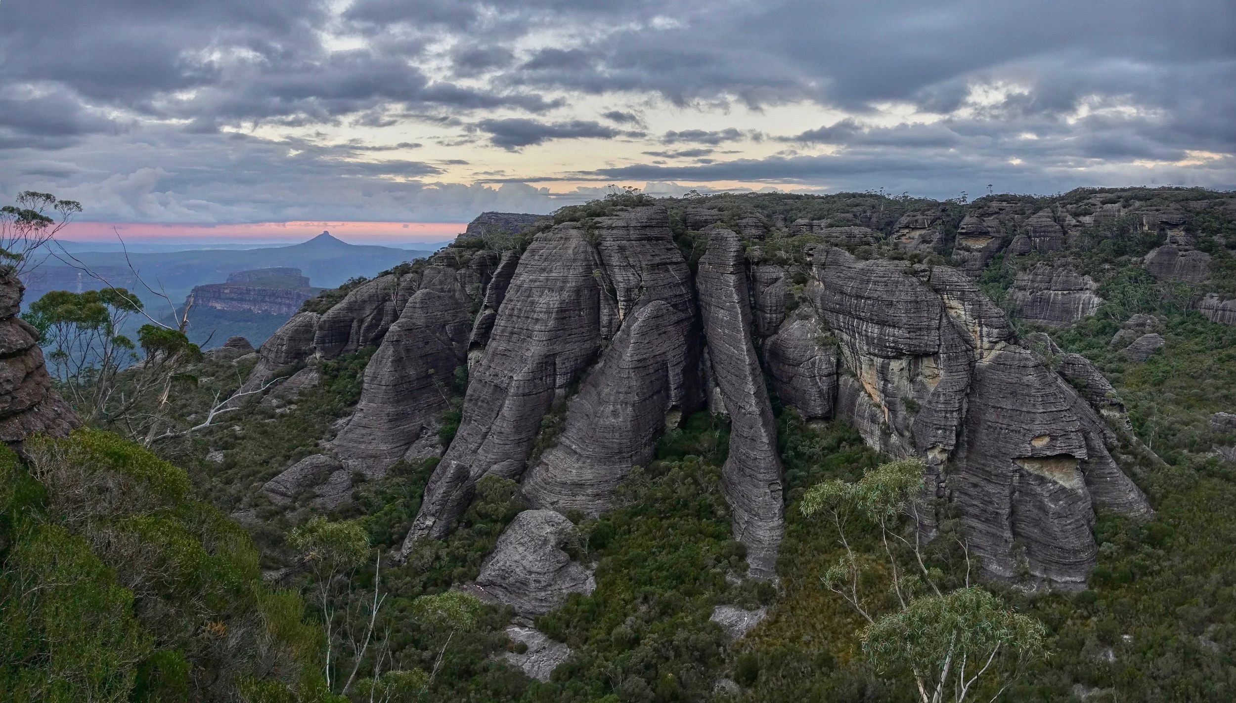
Chains were provided on the main trail, if you enjoy a real challenge take the side route from the Monolith Valley to Mount Owen on the return hike
The next day was shorter, but exciting again as I climbed up the Castle. This photo looks down at the route coming out of the forest, which appears intimidating but it is fairly straightfoward until the last bit where there are ropes to help with a series of climbs.
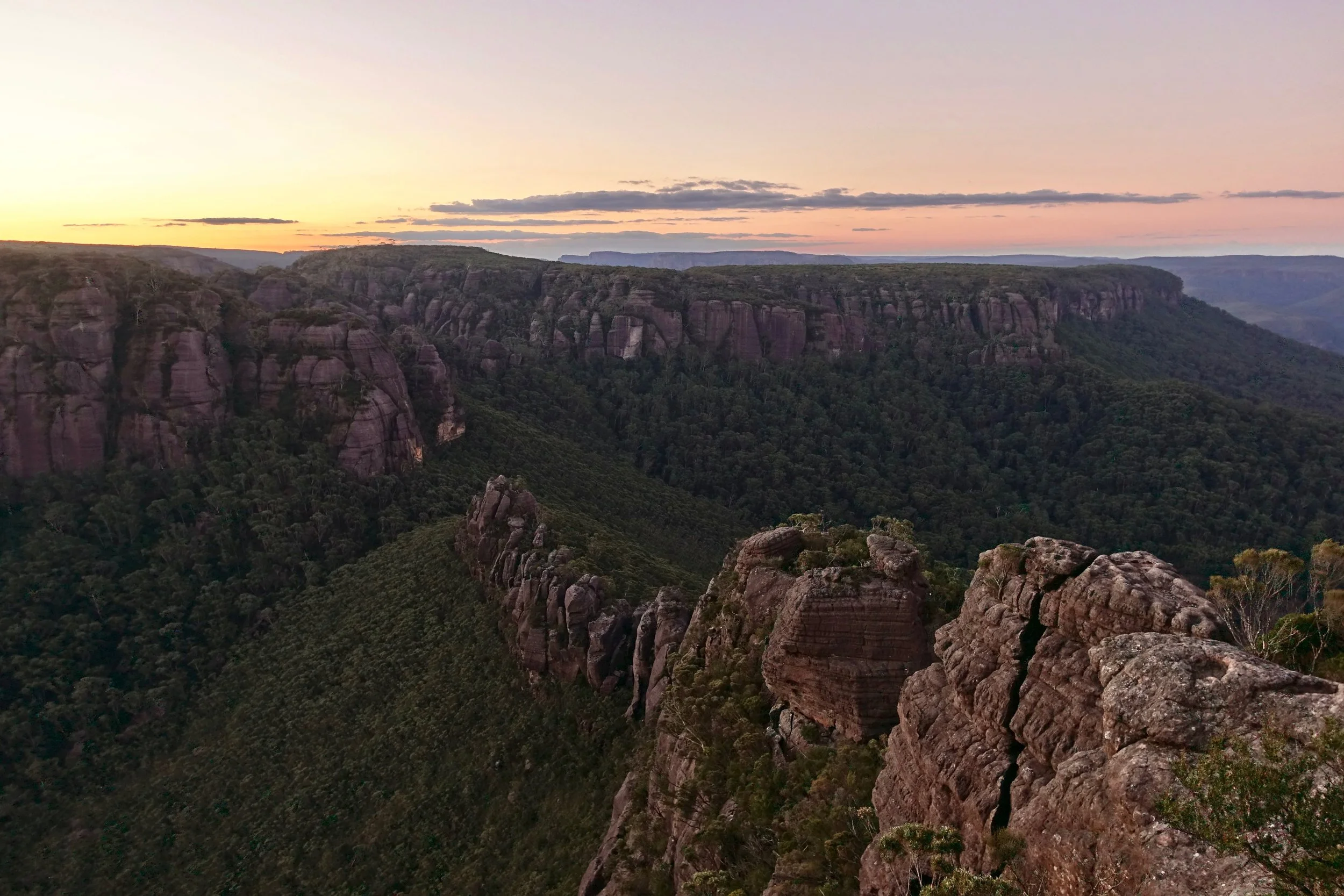
Looking southeast over Clyde River Gorge towards Byangee Mountain and Pigeon House
I did the long hike back to Wog Wog (16 miles) in one day stopping briefly at Corang Arch in the afternoon
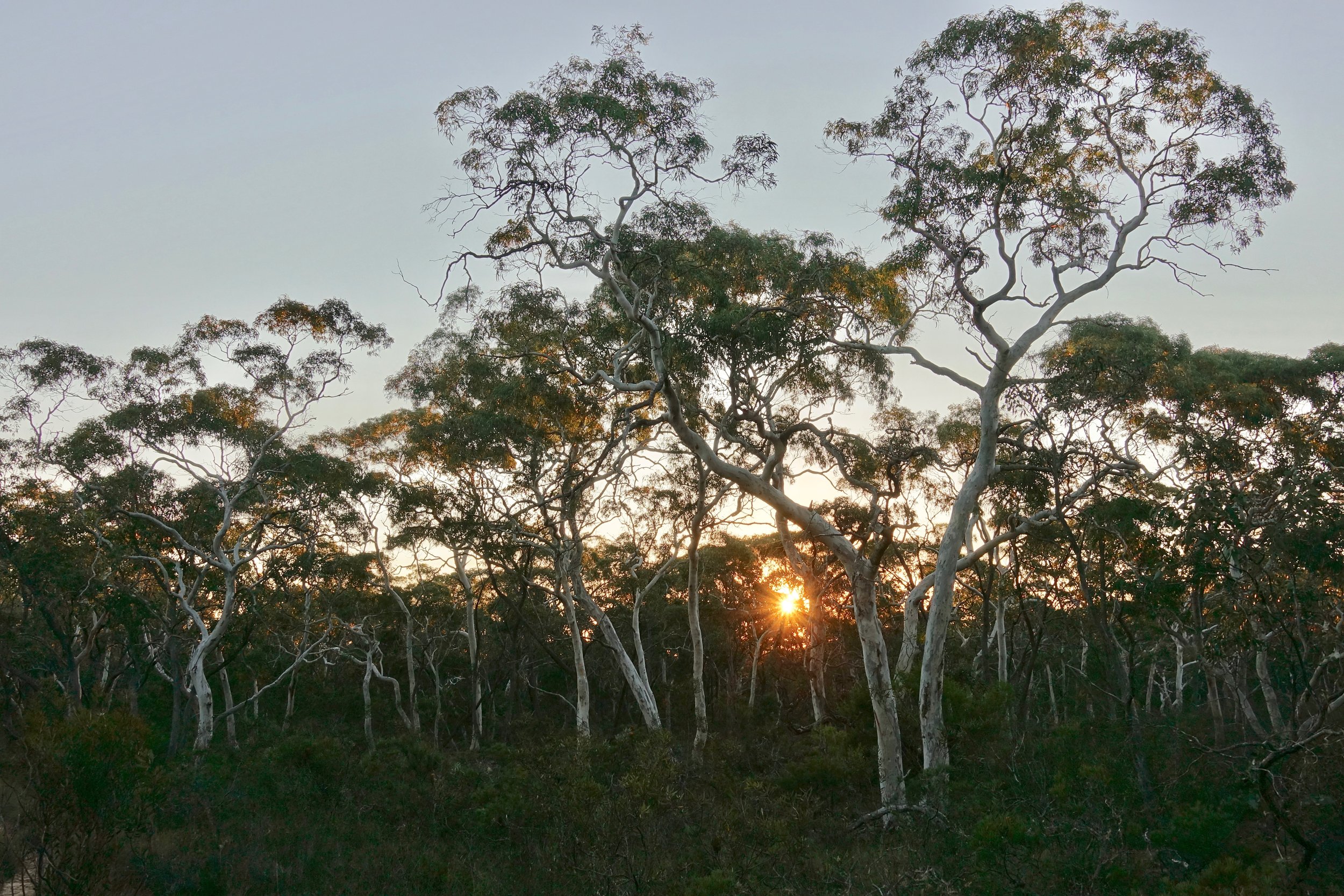
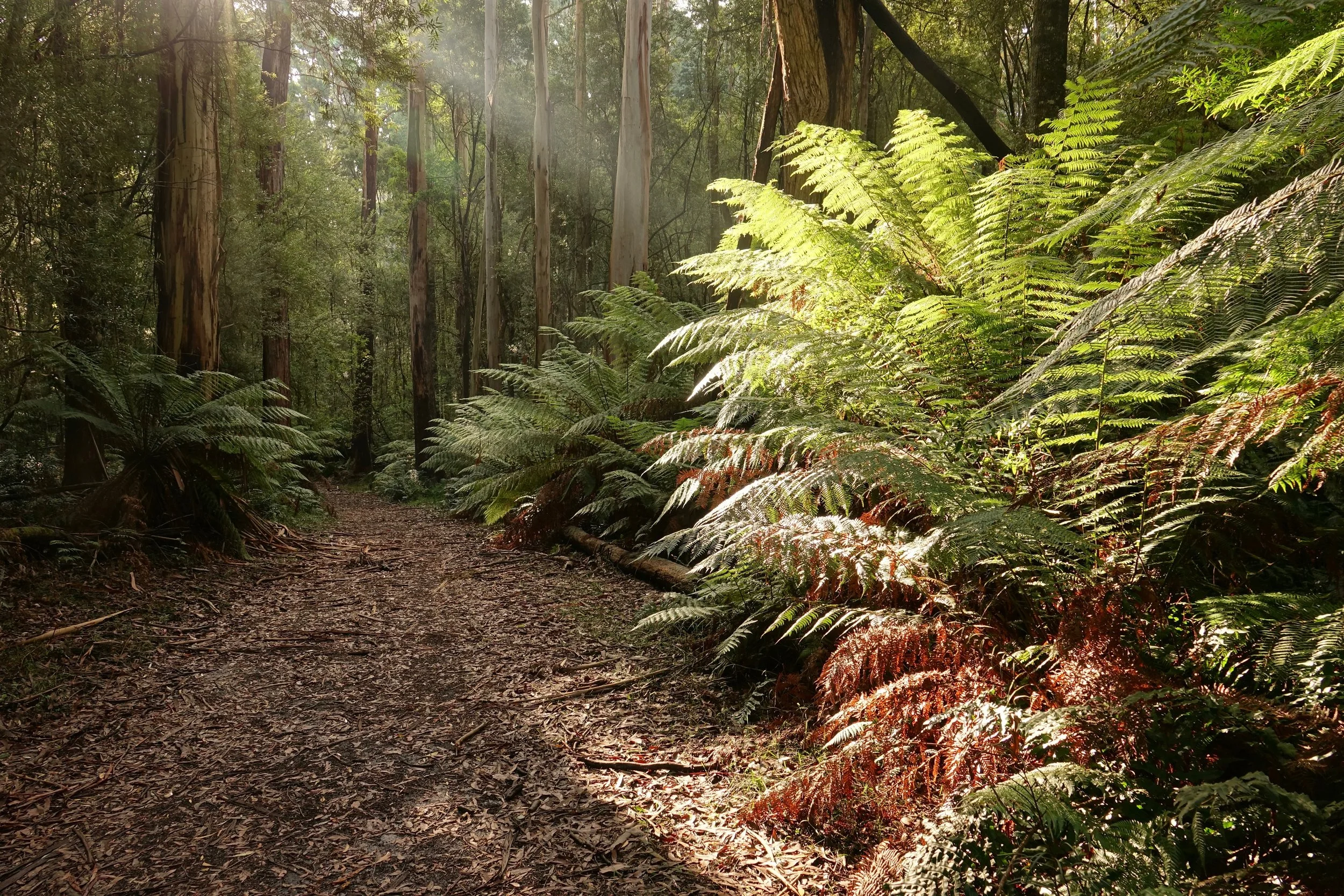
The final stretch through the forest to Wog Wog
Great Ocean Walk
A stormy outlook meant cancelling hiking plans in Tasmania, so I shifted flights to Melbourne to complete the Great Ocean Walk in Victoria
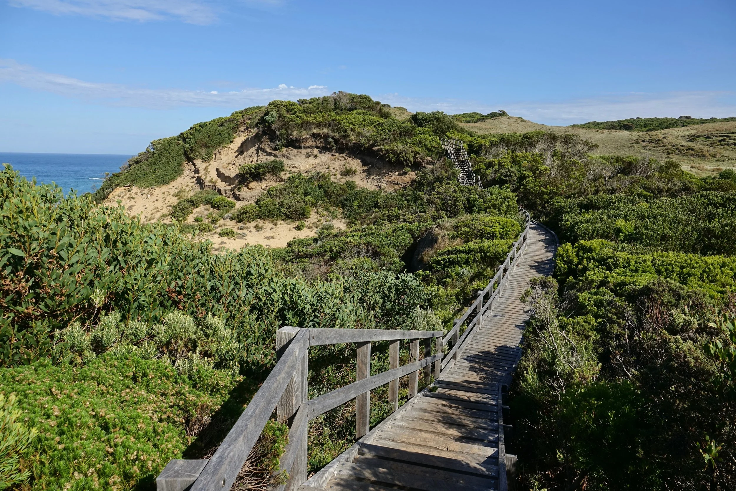
The trail is wide and in excellent condition with staircases, mowed grass and trimmed hedges
Wide trails are the best in snake country
I used the free parking lot at Shelly Beach near Apollo Bay as a starting point. The campsites require bookings online with Parks Victoria
Day 1: Shelly Beach to Blanket Bay (8 miles)
Day 2: Blanket Bay to Johanna Beach (21 miles)
Day 3: Johanna Beach to Devils Kitchen (17 miles)
Day 4: Devils Kitchen to Twelve Apostles (9 miles)

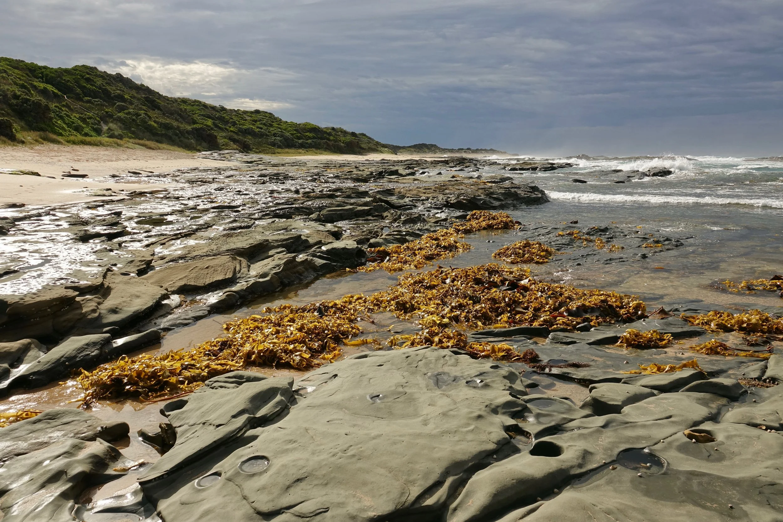
There is a good deal of road walking between campsites, less than five miles of beach on the trail
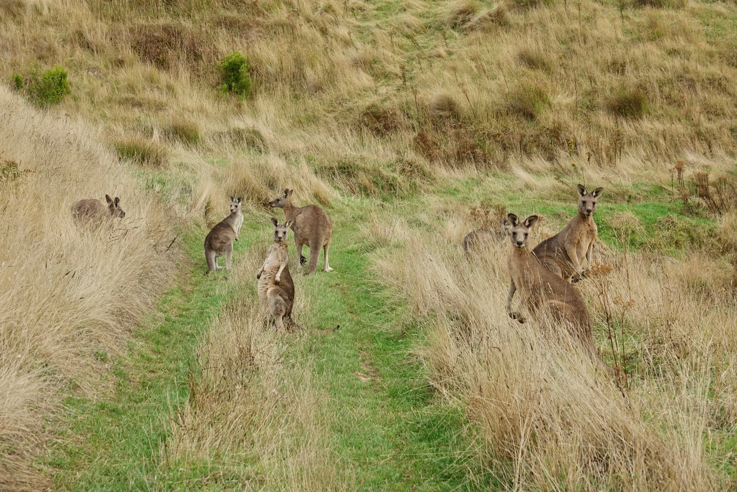
Most wildlife encounters occurred on the roads, which at times helped make up for the lack of scenery
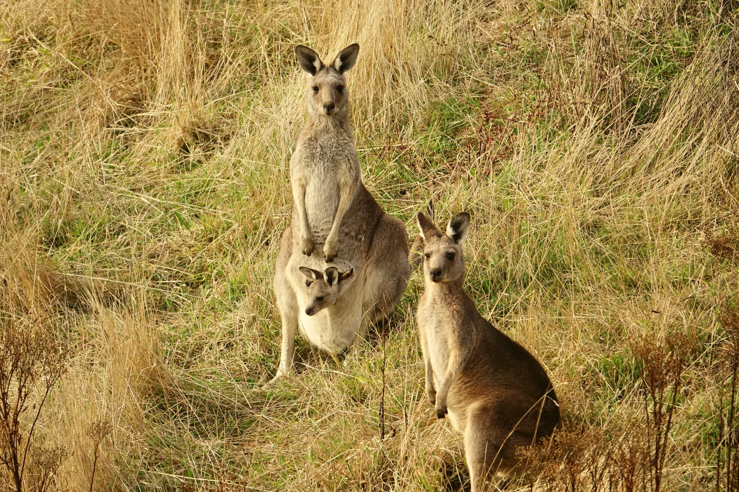
Roo with a little Joey inside
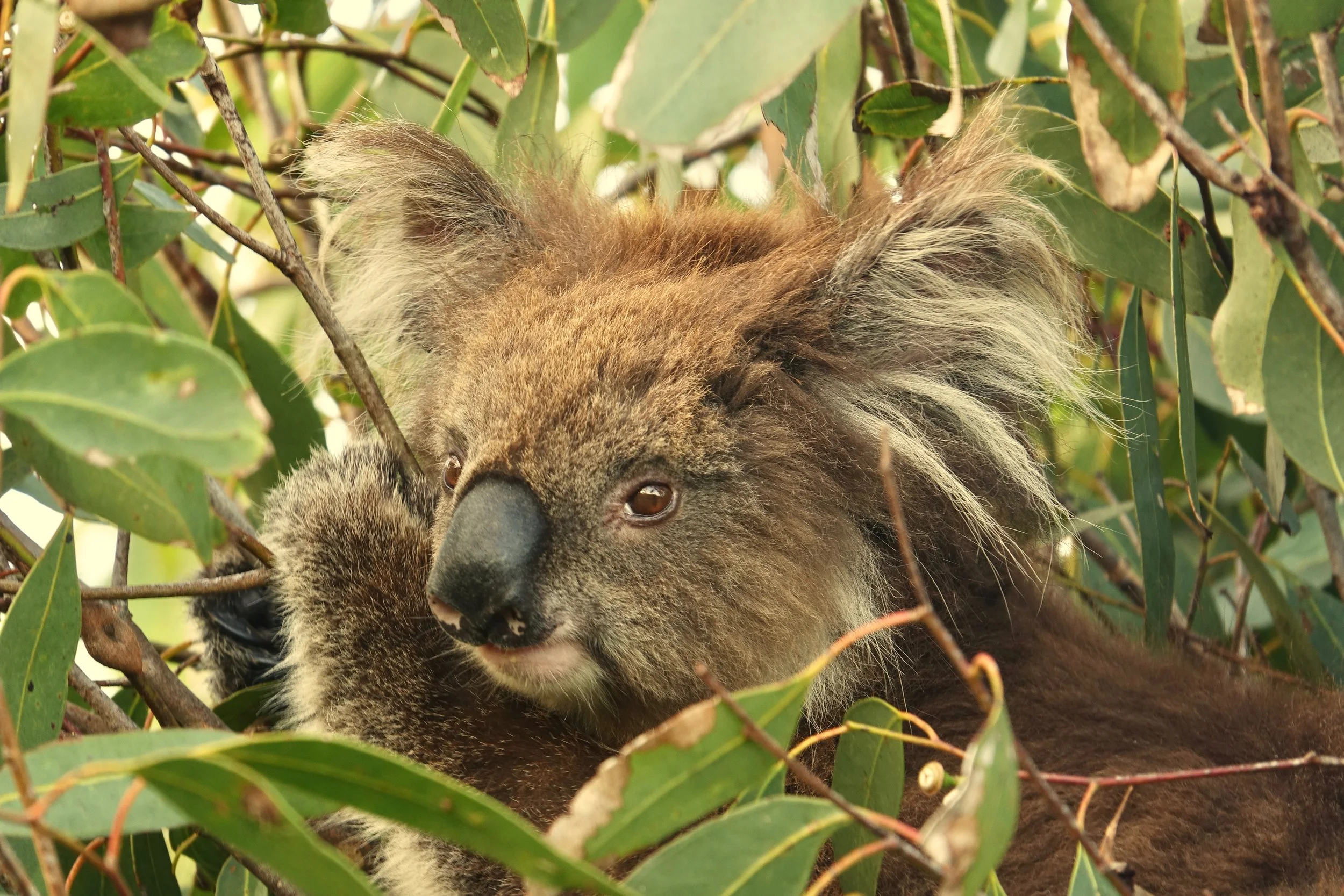
Koala in the bush
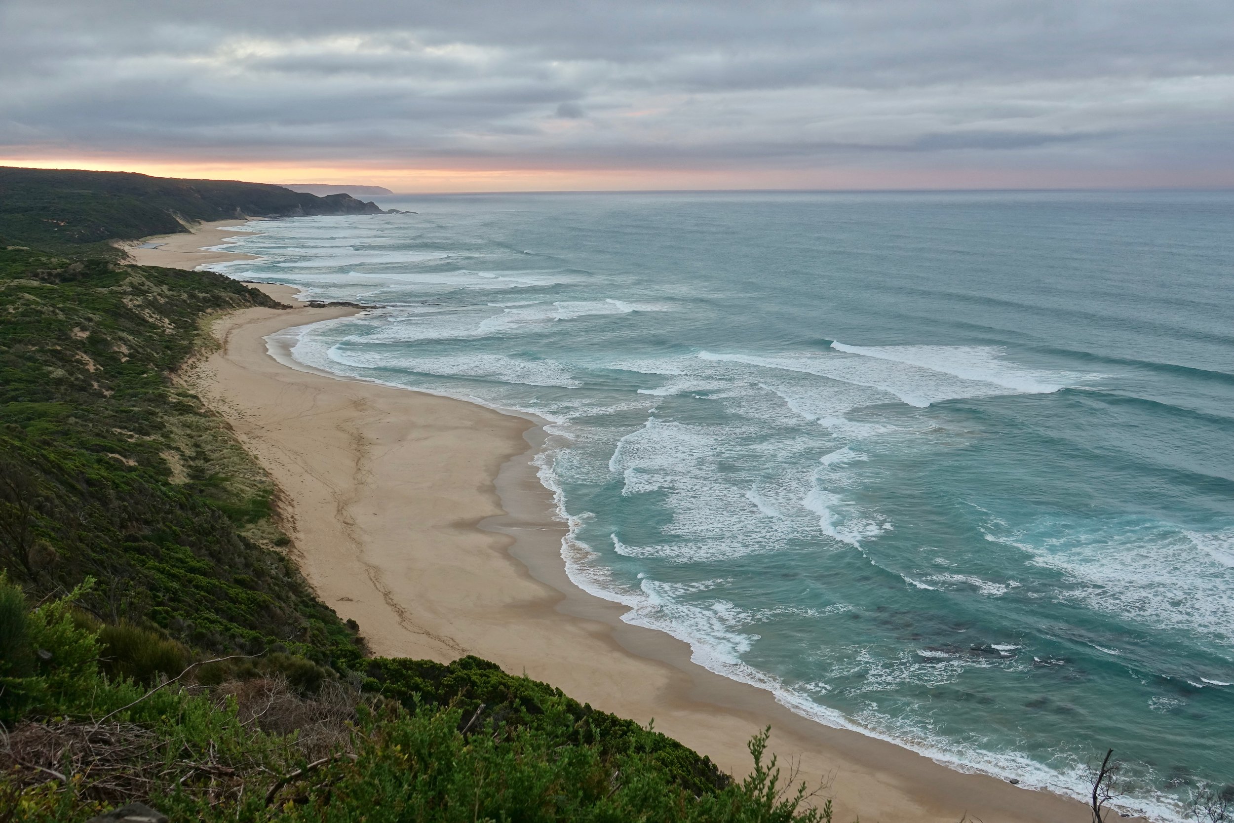
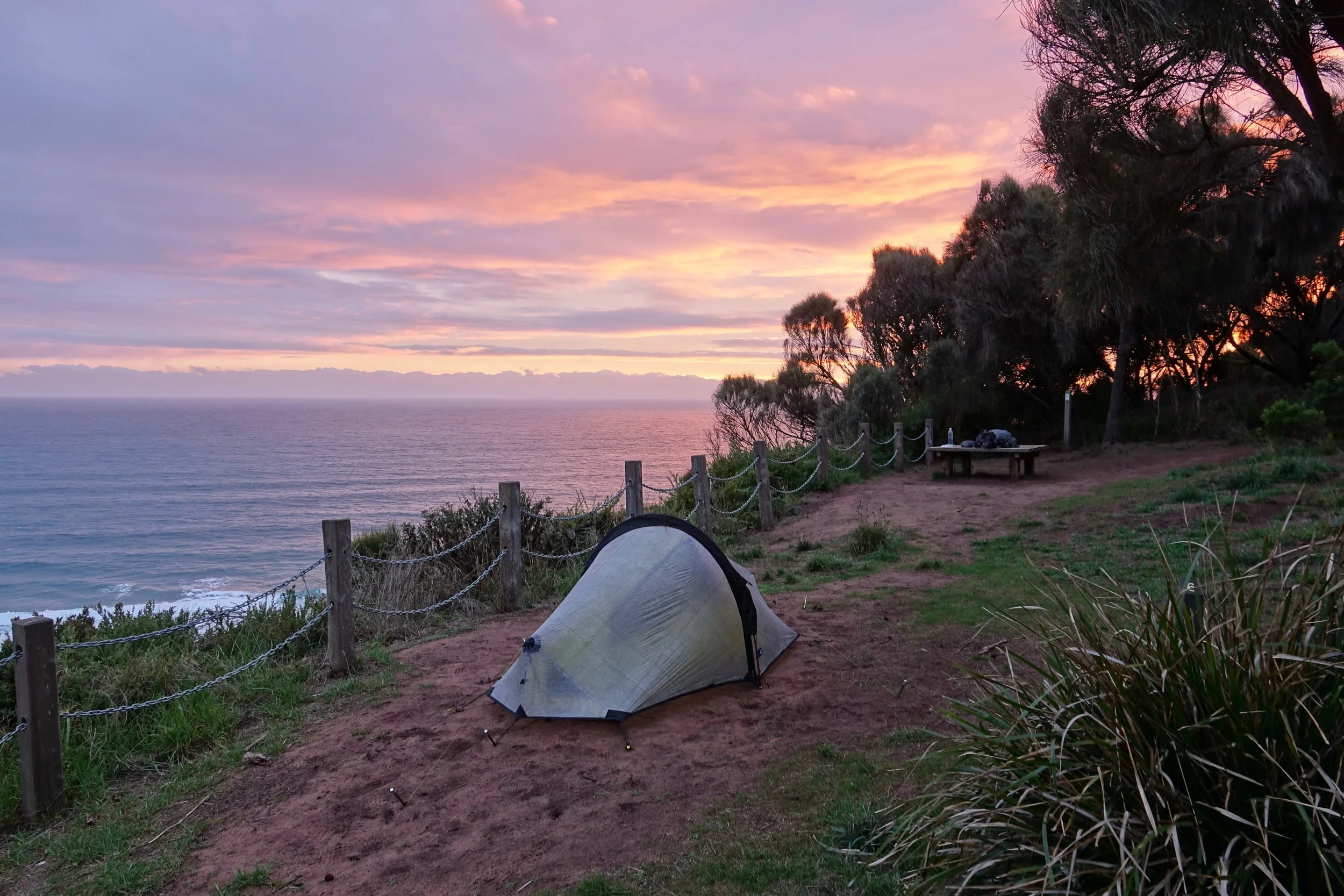
View from the Johanna Beach campground