Alaska
Kodiak Island Traverse
Lost Coast Packraft
Harding Icefield
Williwaw Lakes
Pioneer Ridge Trail
Crow Pass
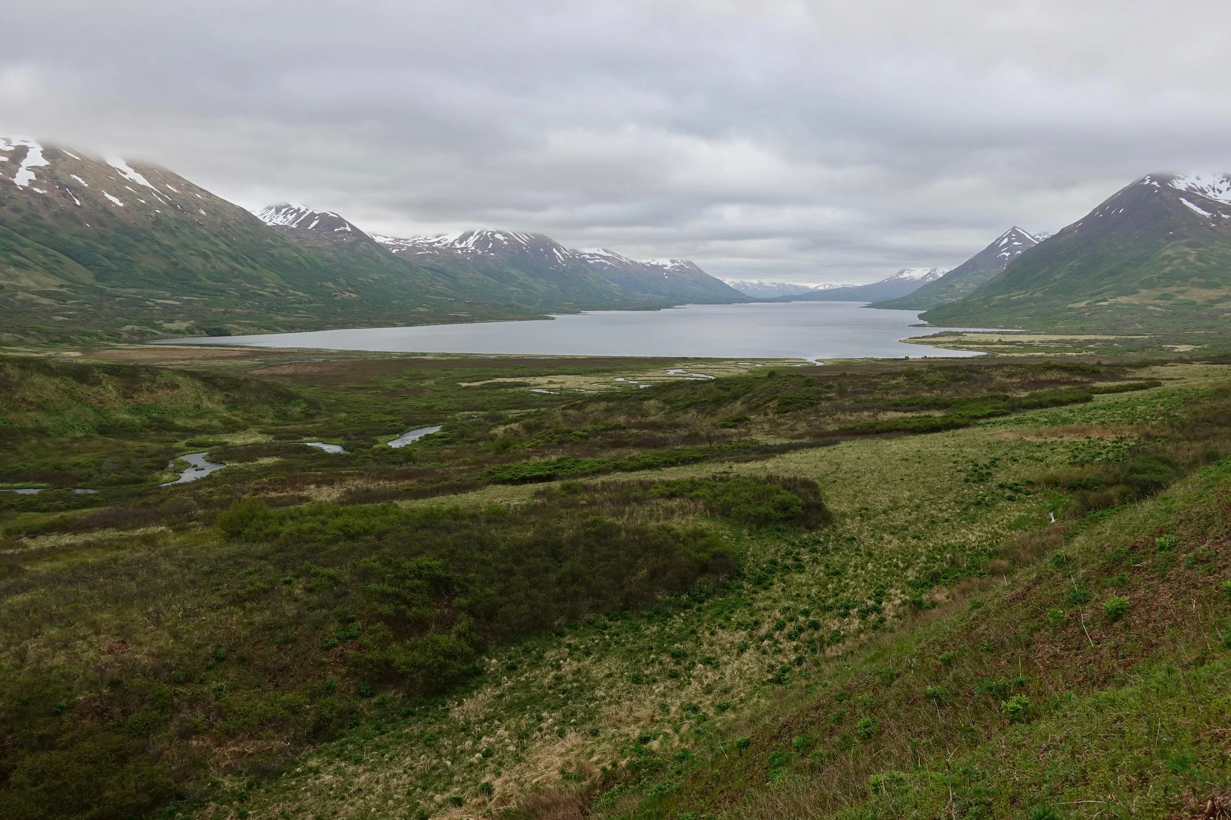
Kodiak Island Traverse
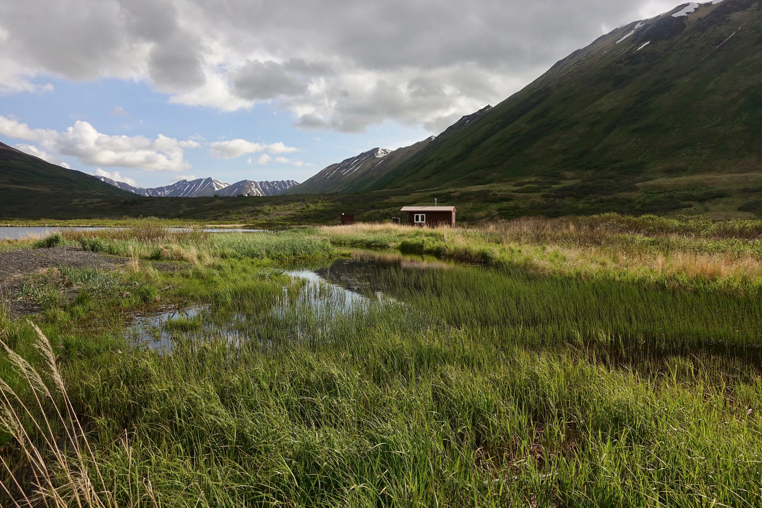
In early June I walked across Kodiak Wildlife Refuge from Frazer Lake to Karluk (5 days, 60 miles)
Looking back at Frazer Lake in the morning after spending the night in the north cabin
I ended the day with a high camp near Mount Myrtle
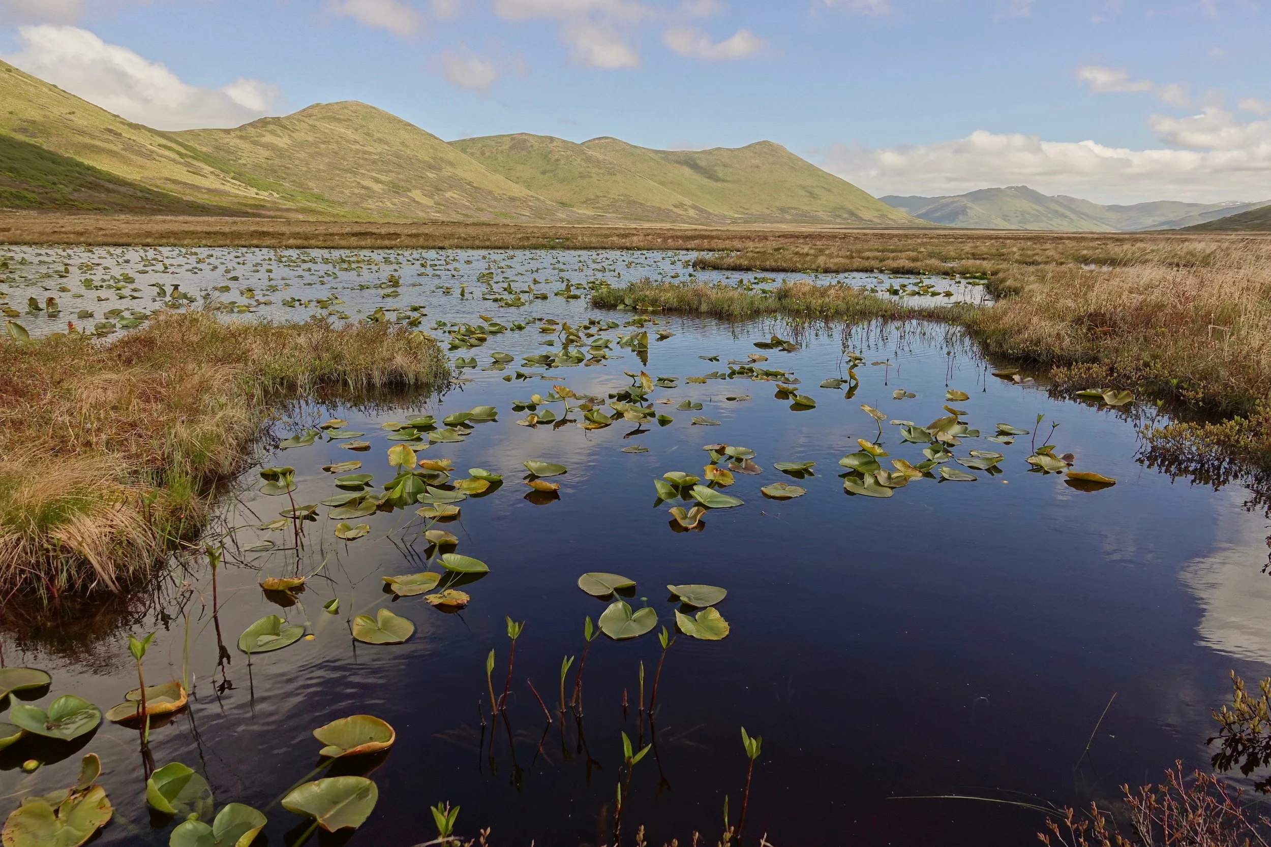
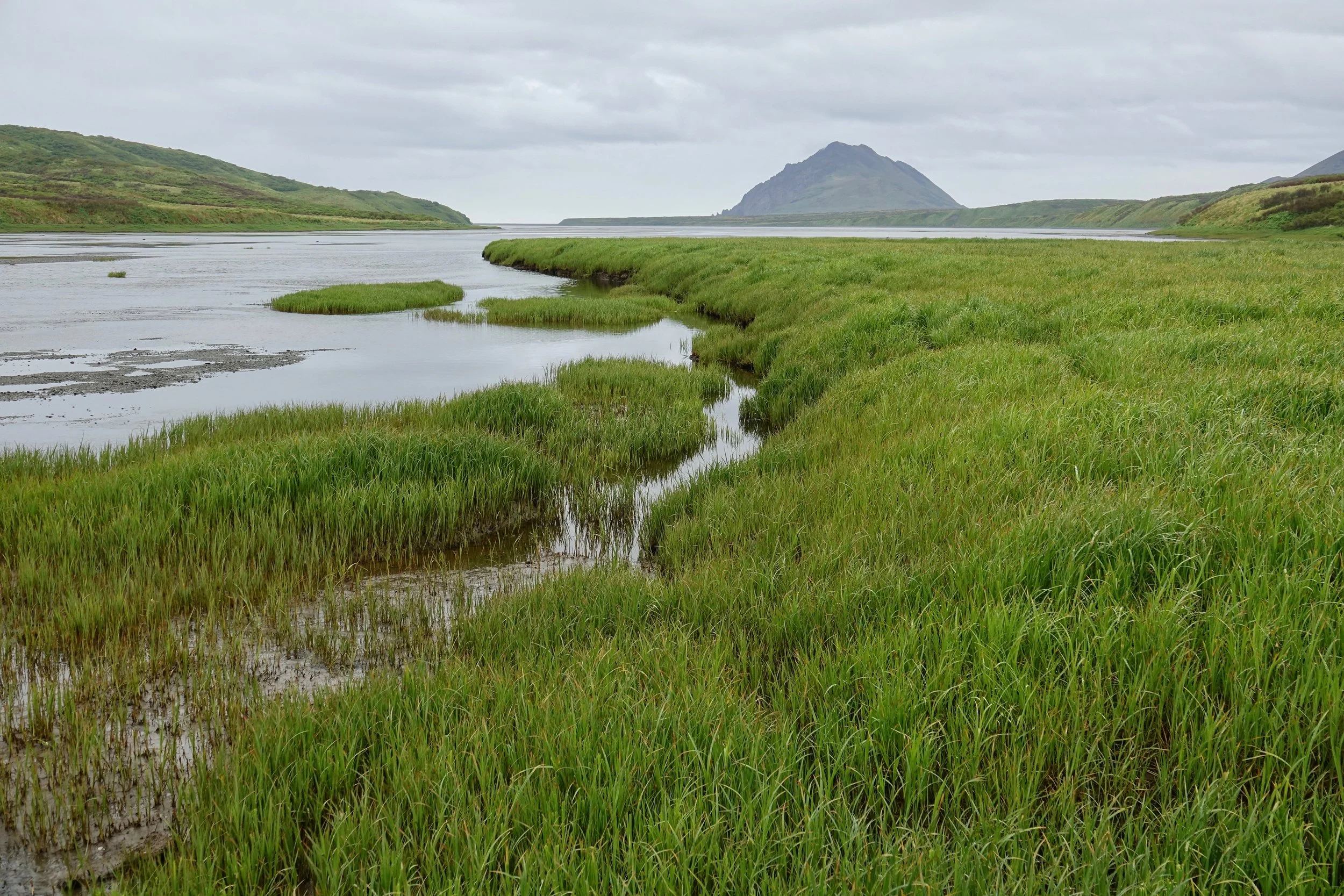
Pond in the low ground on the way to the ocean
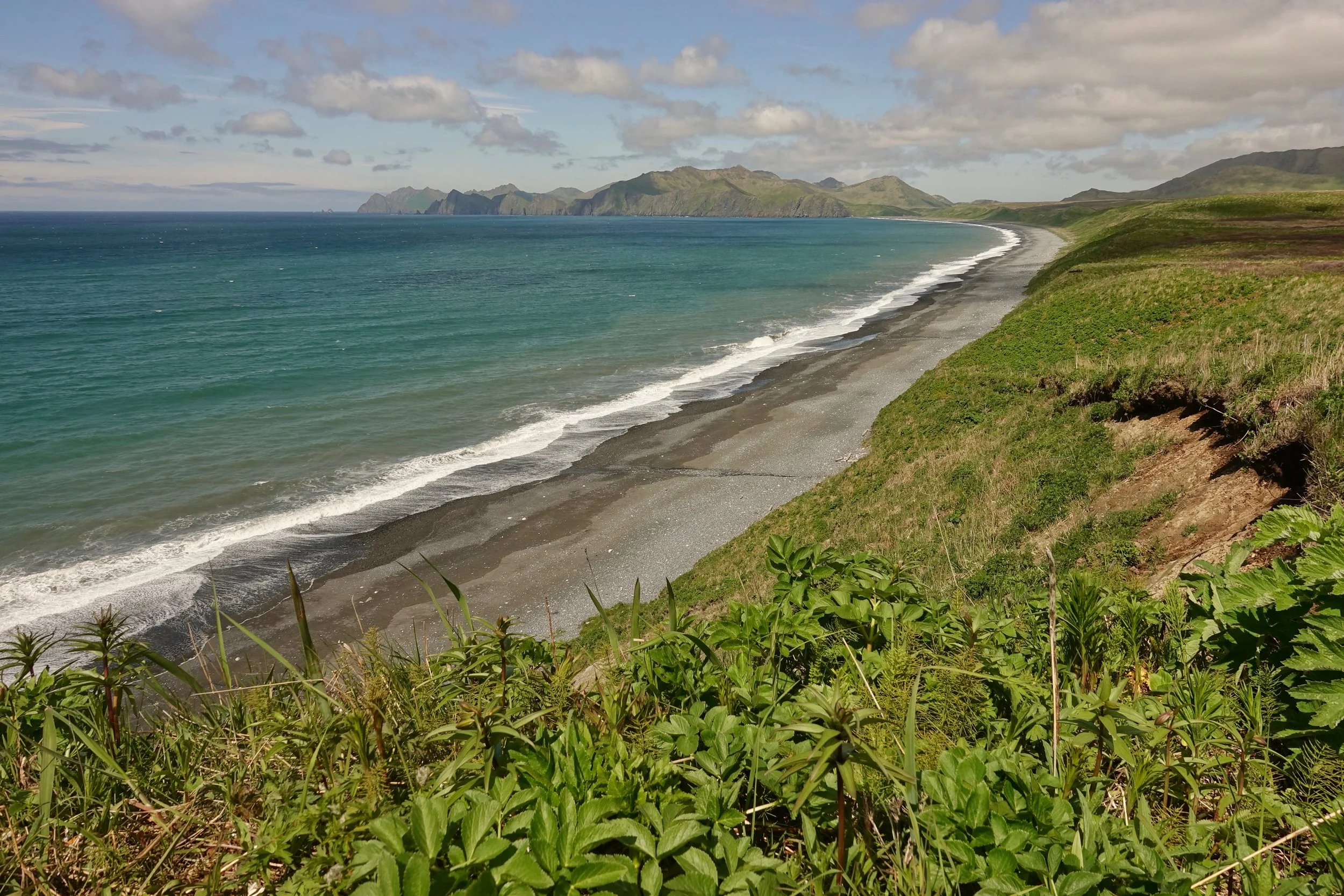
Refreshing break to walk on a long beach and get out of the marsh
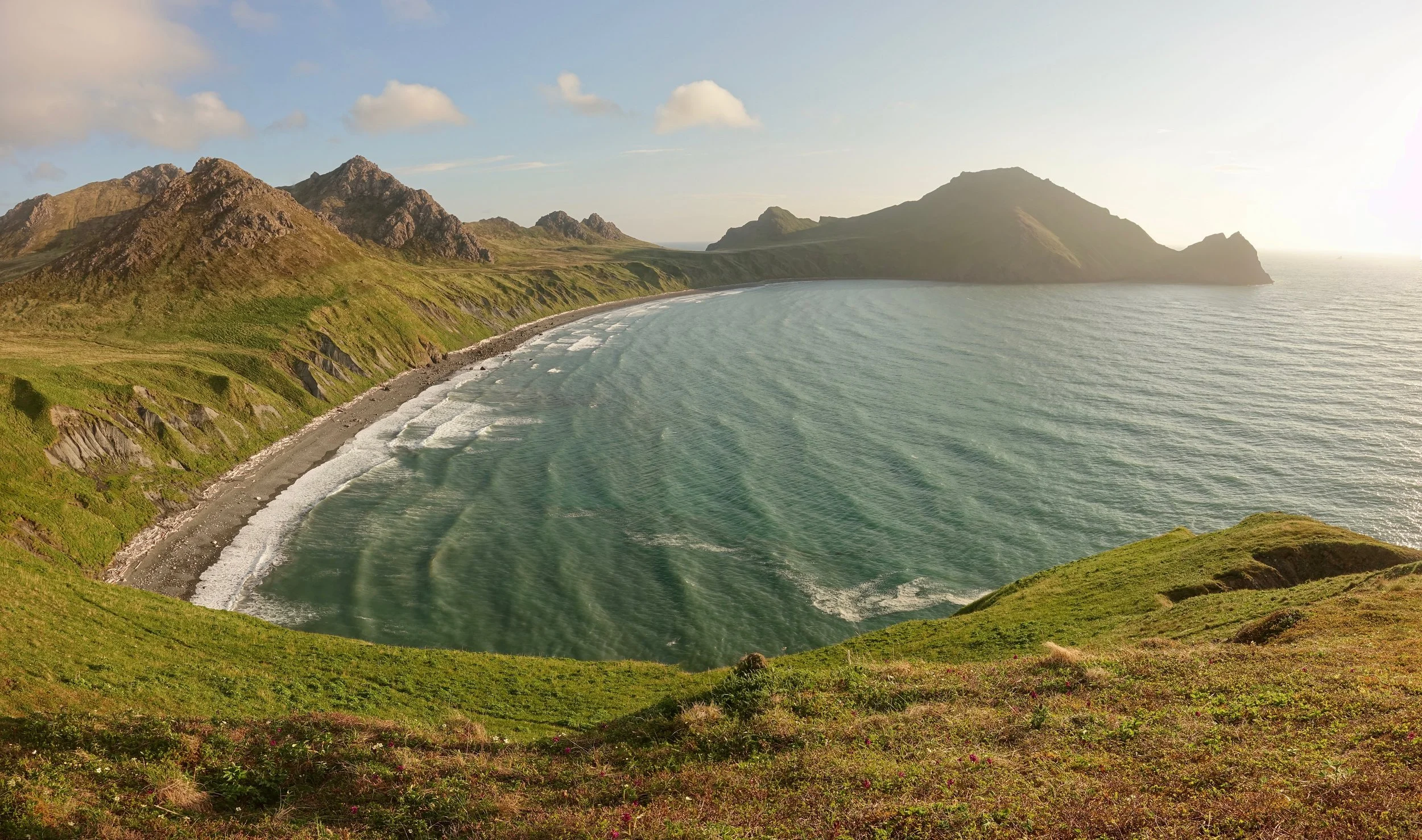
Nice evening at Gurney Bay
Looking north from the hillside above Gurney Bay
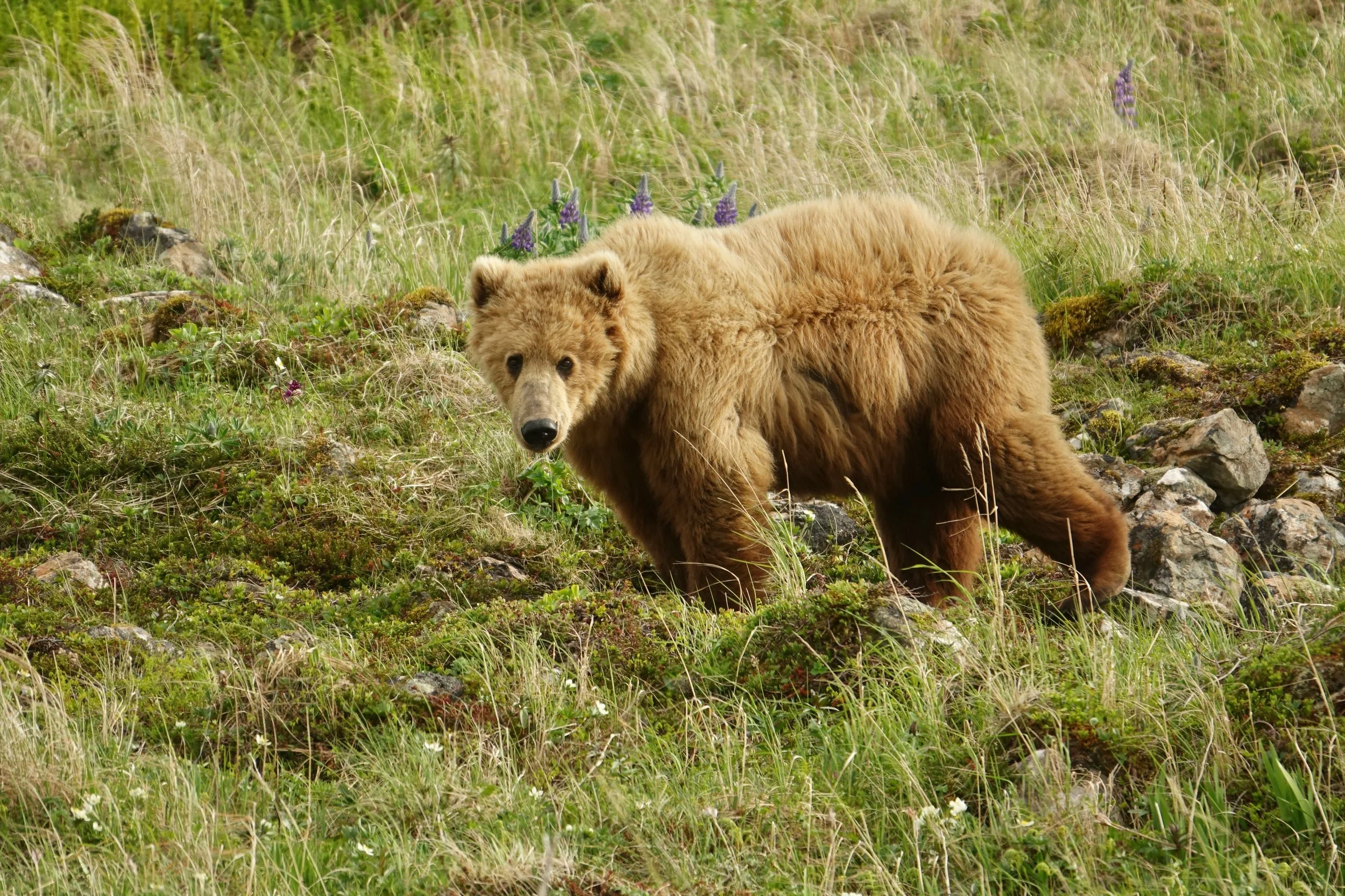
A curious young bear came up behind me as I was sitting down watching sunset. We had a staring contest for about ten seconds then the bear took off. Bear behavior is sometimes hard to understand as this one acted differently than all the others on the island who all kept distance or ran upon seeing me.
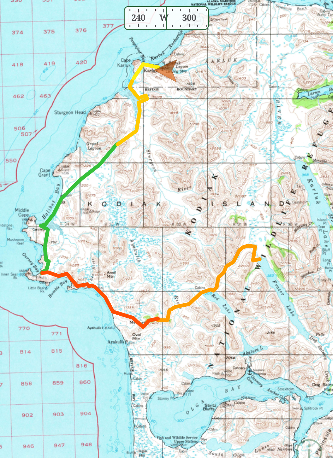
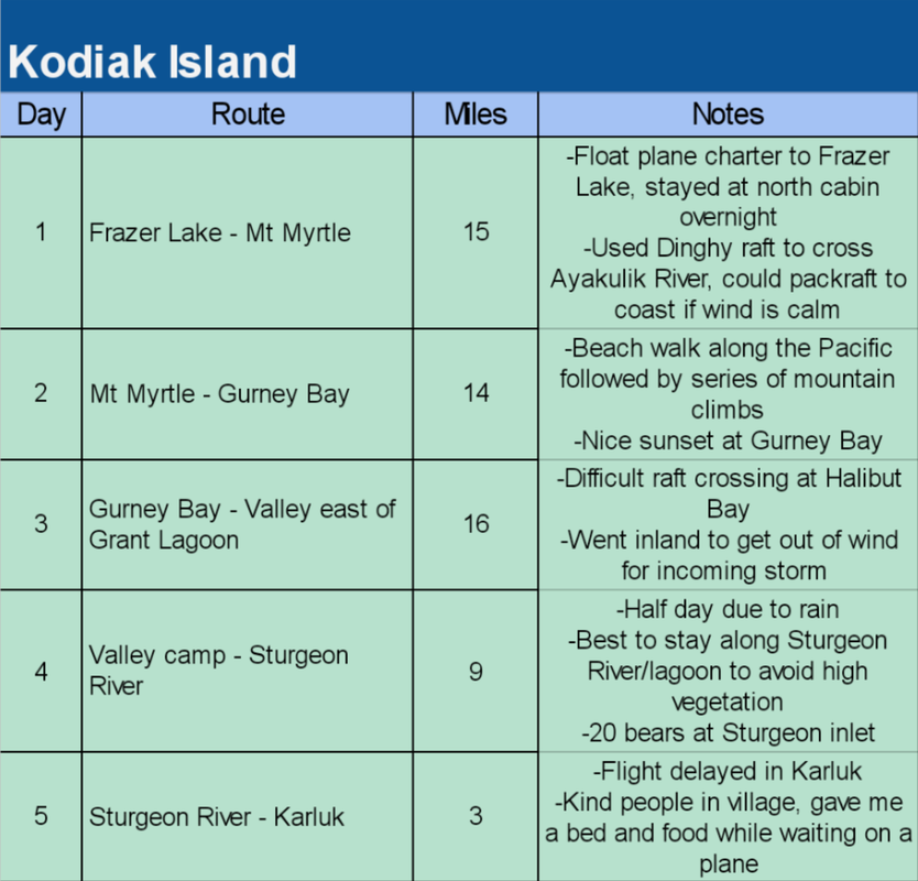
Staying high was often quicker, although the vegetation was low in early June. A dinghy was needed to cross the Ayakulik River, the Halibut Bay inlet, and the Sturgeon River. I used my arms to paddle. Longer hikes here have been completed such as Akhiok to Larsen Bay. Some permits were needed when I completed the walk in 2021.
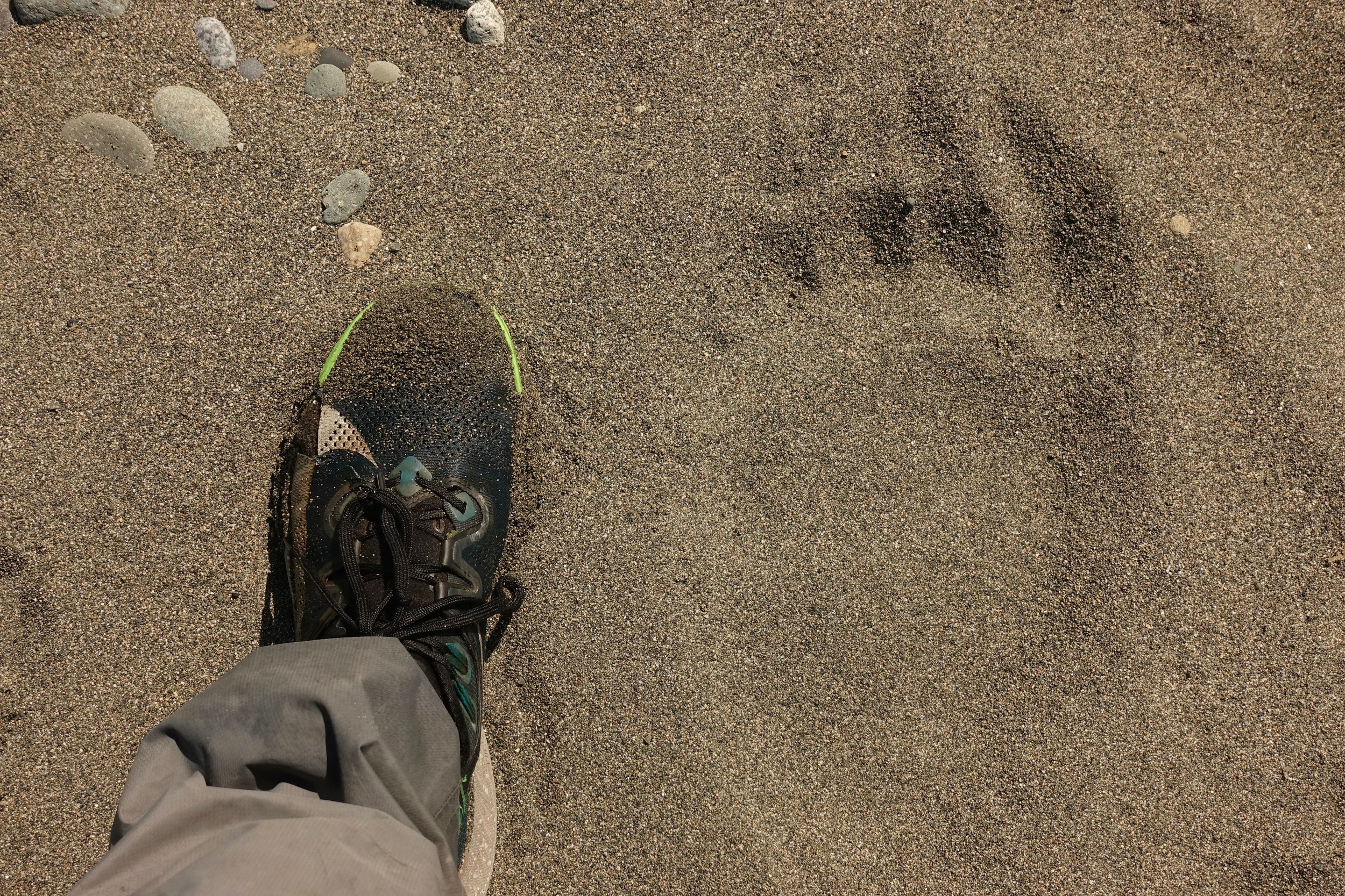
The kodiak footprint seems especially wide in comparison
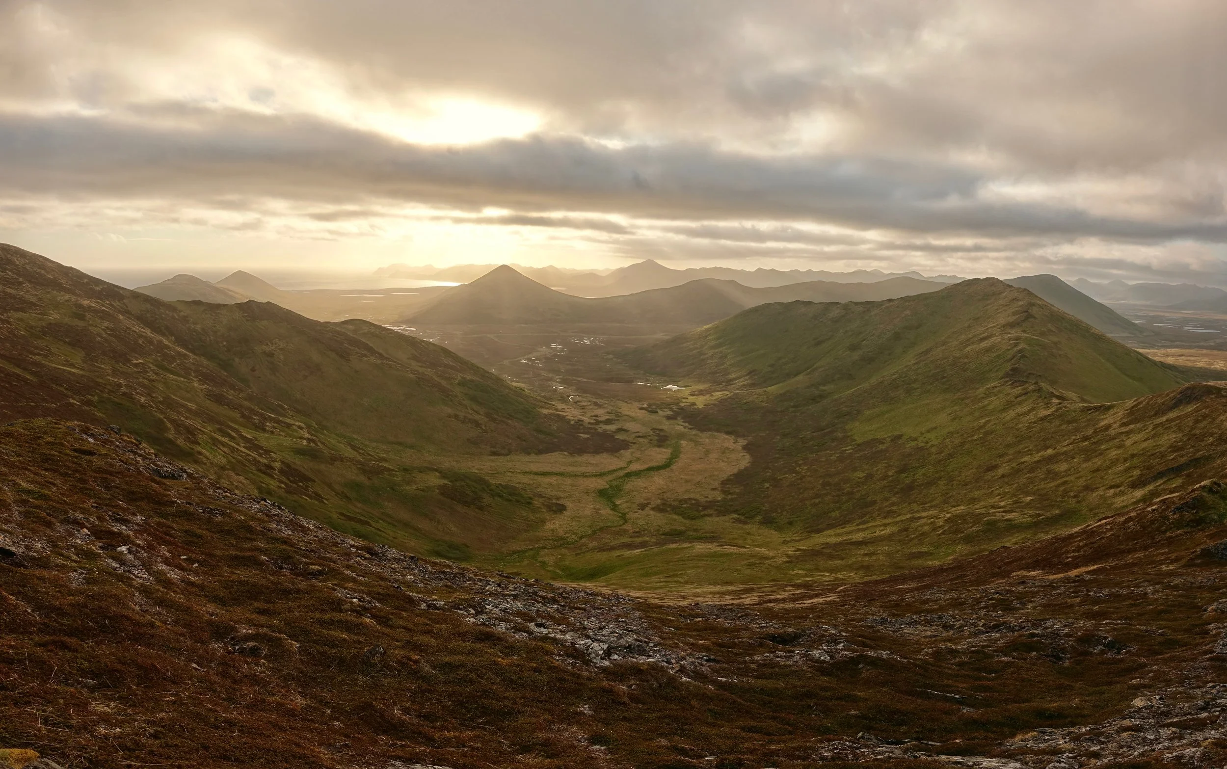
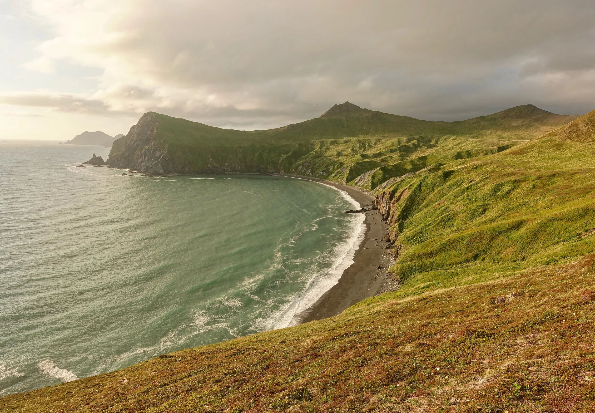
A final evening of sunshine before the weather set in for the remainder of the trip
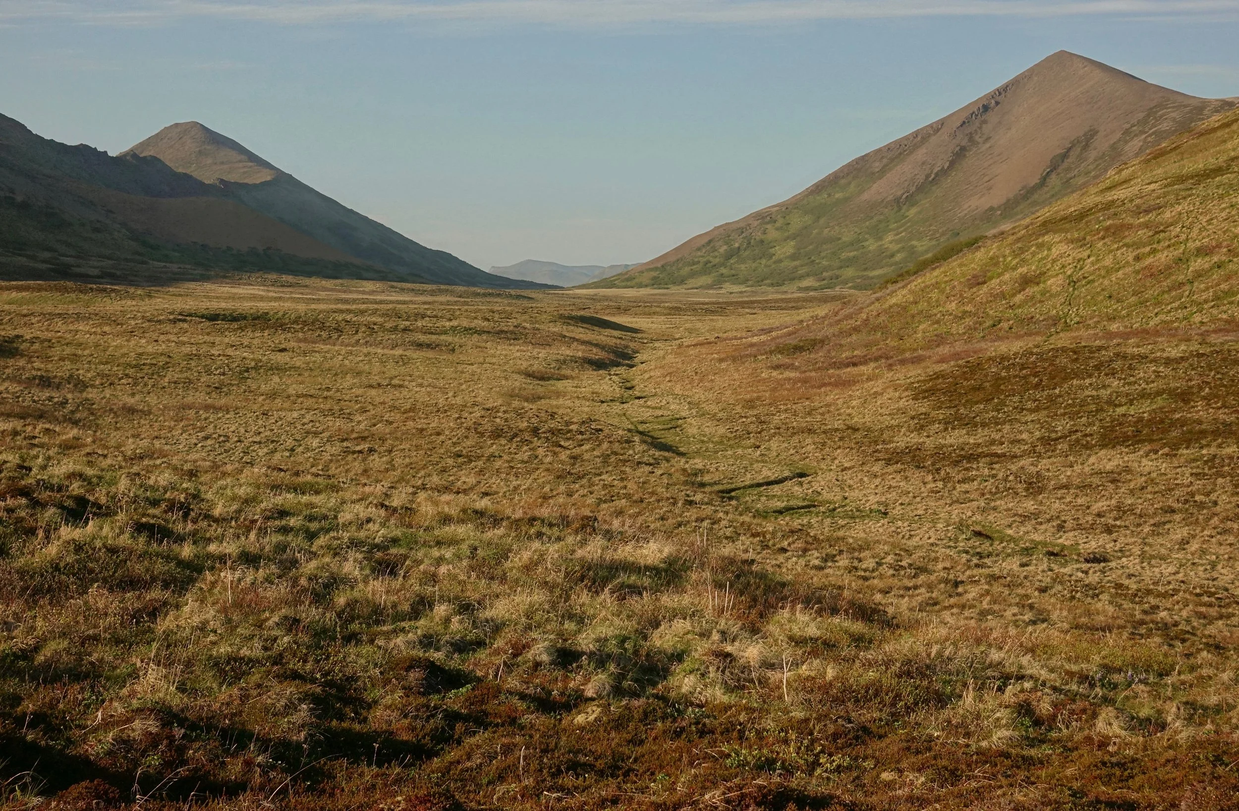
The vegetation east of the Sturgeon was higher than I had seen in the first few days so I stayed alongside the river and followed it to the coast
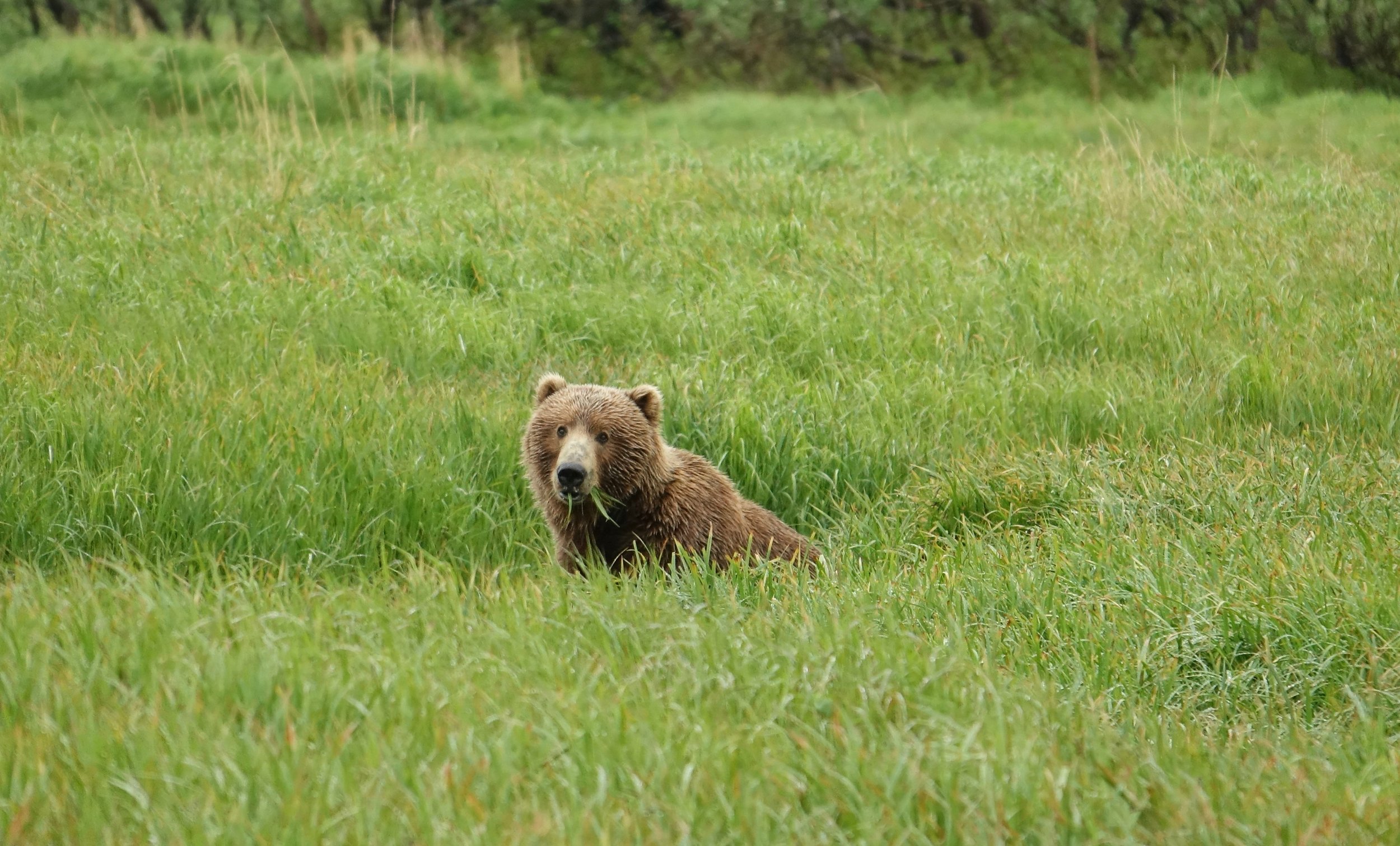
The bears are busy digging up roots in the grass for food until the salmon arrive later in the summer
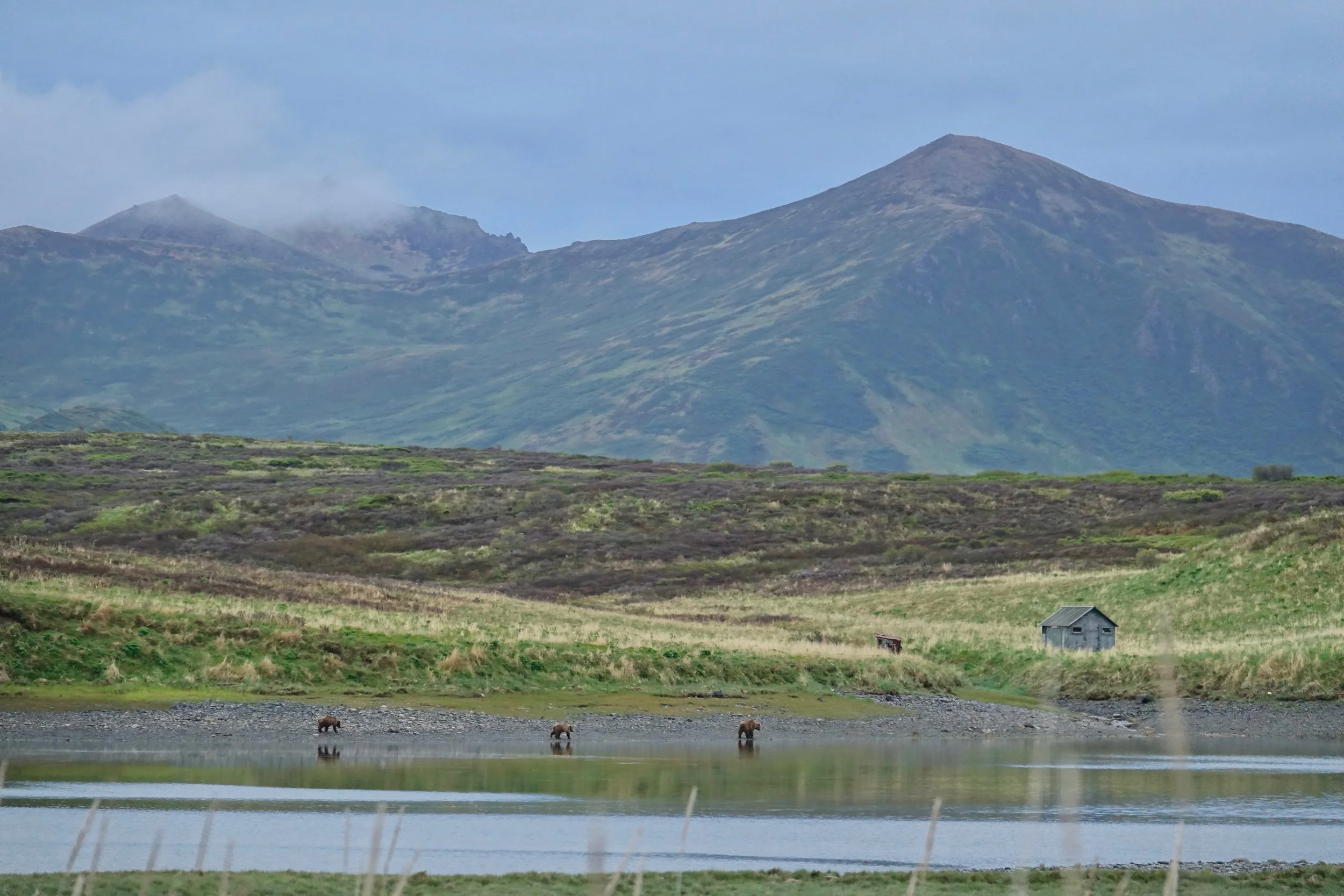
The Sturgeon River had around 20 bears where it meets the ocean. I watched them with the daylight remaining then set up camp on the beach. The short walk to Karluk was all that remained for the morning
Lost Coast
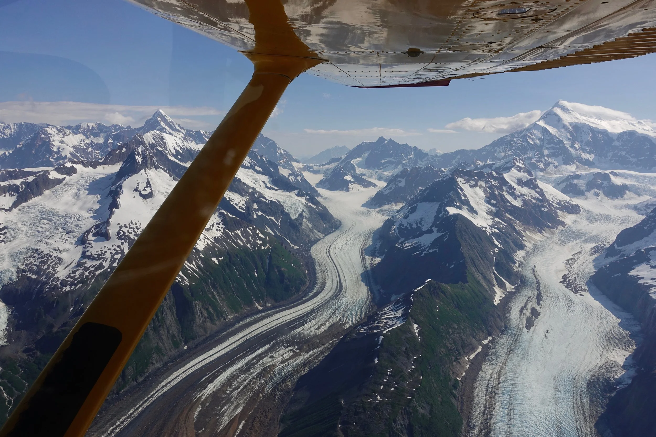
I hired a pilot in Juneau to hike a section of the Lost Coast from Dry Bay to Yakutat. The walk took five days at a leisurely pace with 40 miles of beach walking and 20 miles of paddling. The flight went around the glaciers of Mount Fairweather, the tallest mountain in the coastal region at 15,300ft
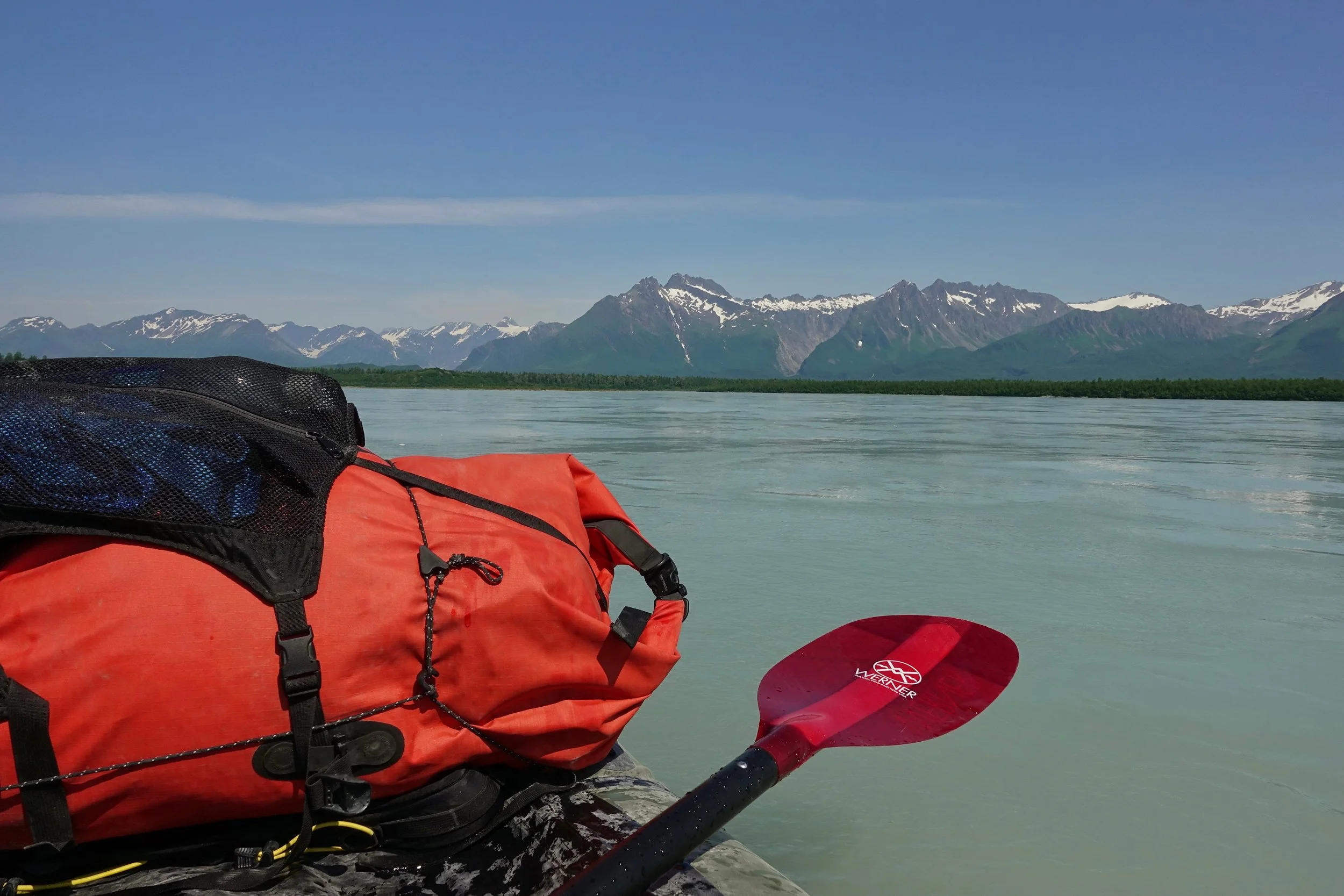
The pilot landed on a dirt strip near the Alsek, which allowed me to paddle the river for about ten miles down to the beach
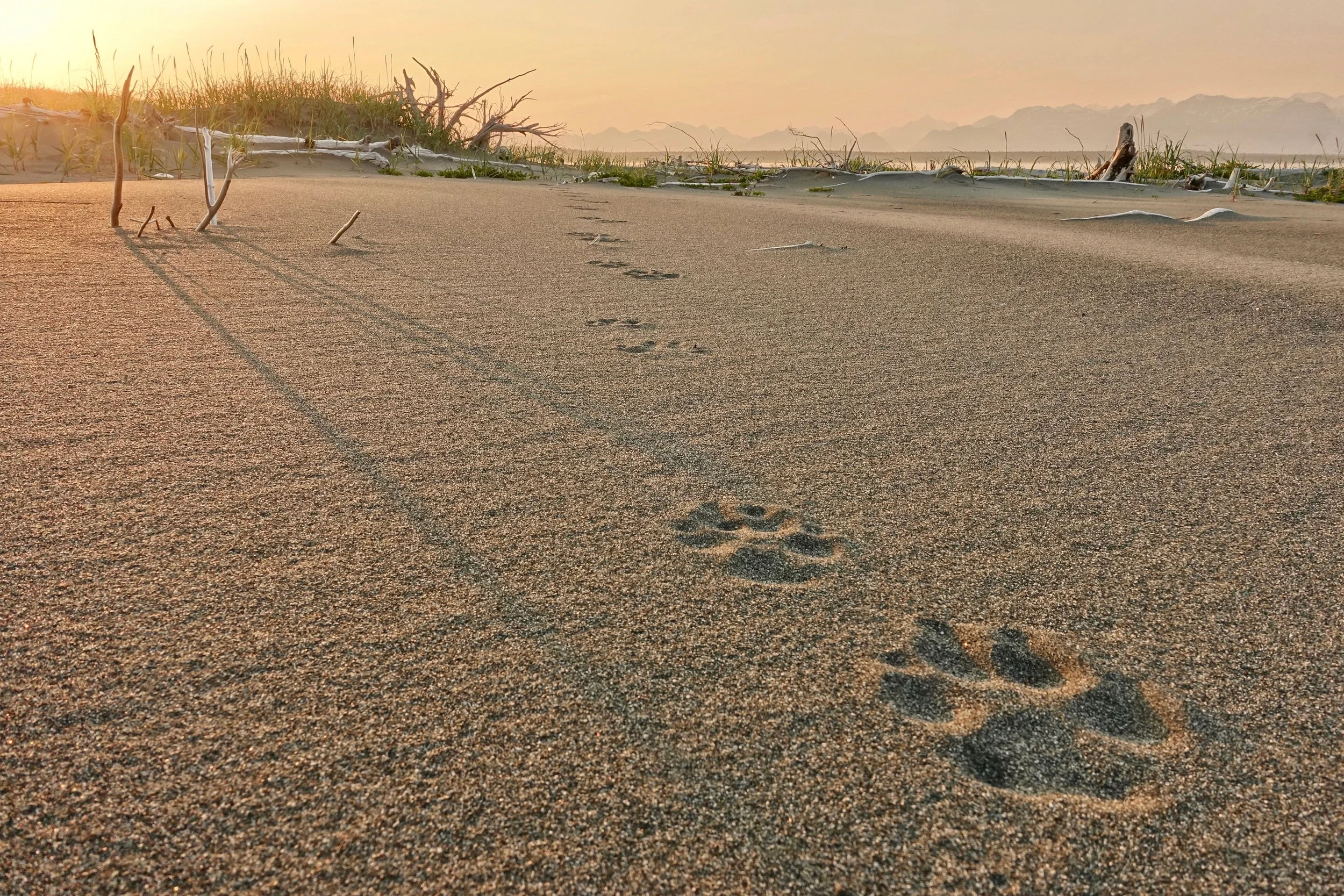
These wolf tracks on the beach were close to the length of my hand. Wolves tend to walk in straight lines as seen here
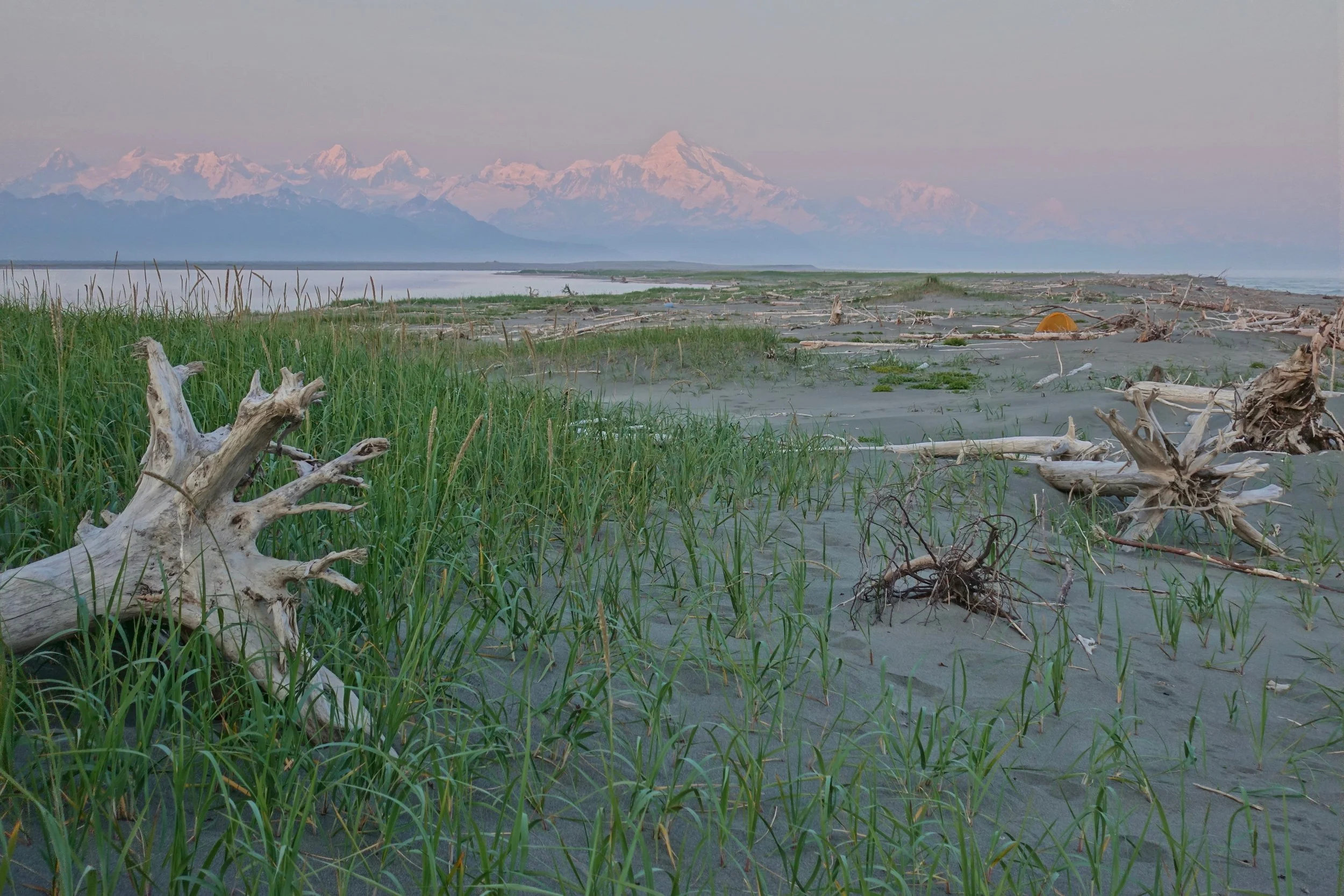
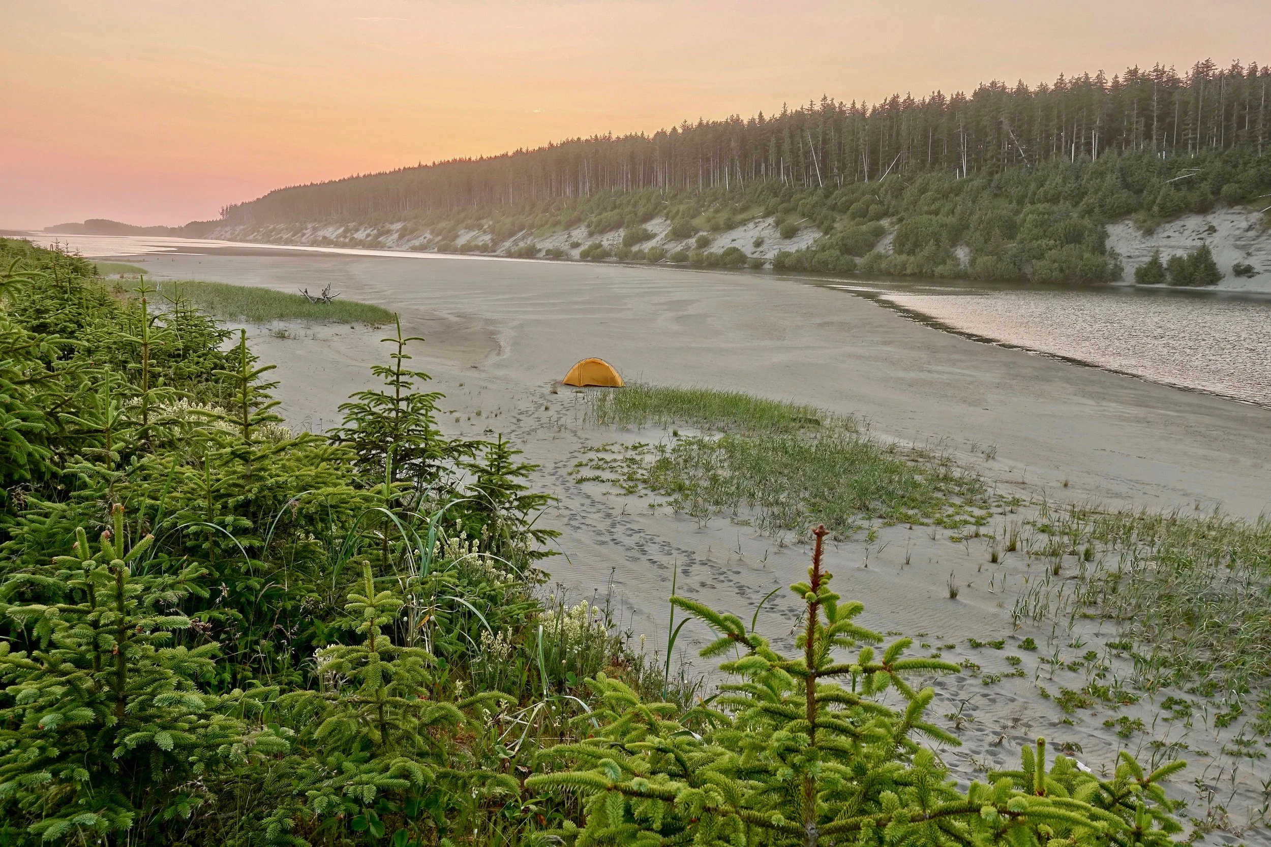
Mount Fairweather visible through the haze from the Dry Bay campsite
There are some long water carries on the walk. From Dry Bay the next water source was the Awke River about 12 miles up the beach. The Awke was the final river with good tasting water. With the lack of rain the remaining rivers all had some ocean taste to them as there wasnt enough flow to keep the tides out. The airport bar in Yakutat got some good business out of me at the end of the hike.
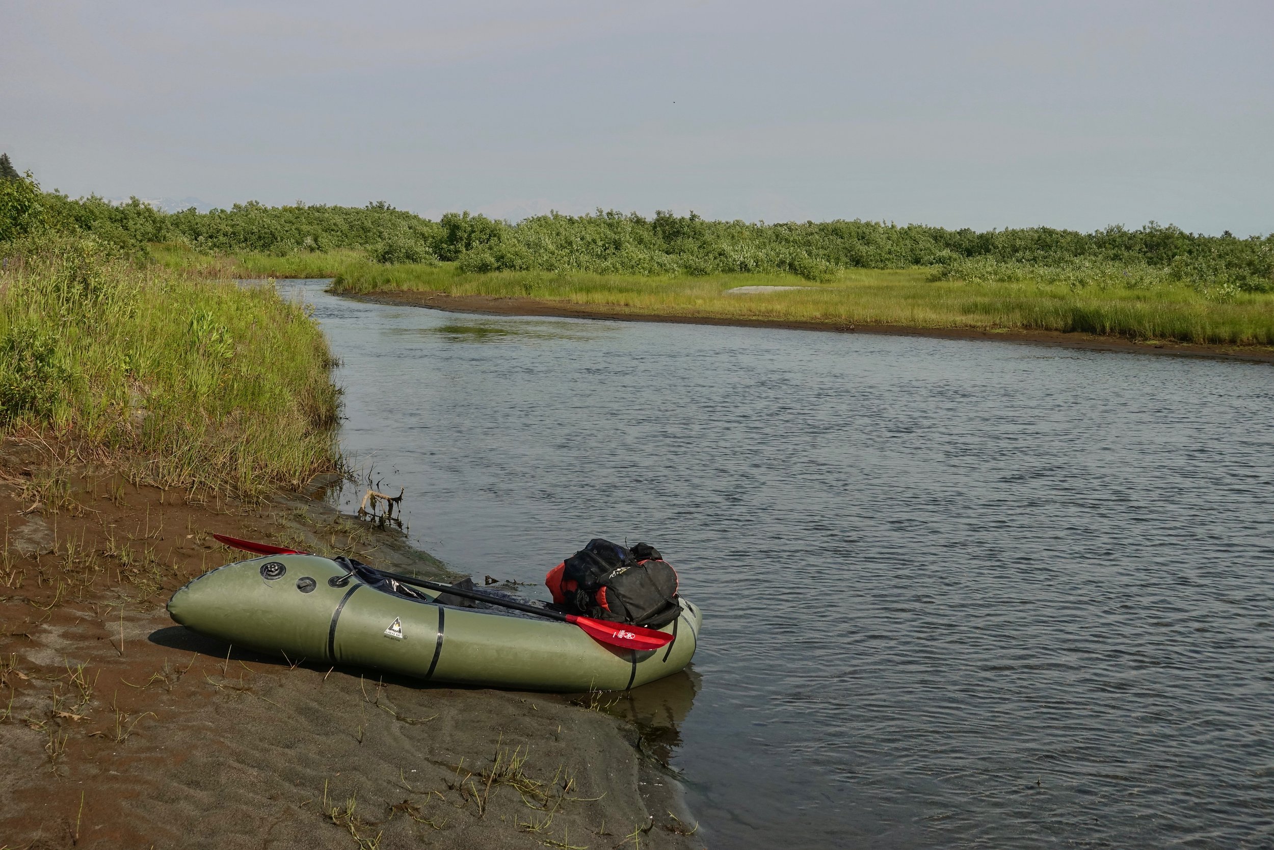
A packraft is necessary for the river crossings. The Awke River runs parallel to the coast and can be paddled if the wind allows to save about ten miles of beach walking
Bald eagles and sea otters were active in the Awke river valley. The coast is nicknamed the "brown bear highway" as strawberry fields line the beaches
The Dangerous River is glacier-fed and needed to be crossed early in the morning with temperatures above 80F. The third evening was spent resting at the southern shore
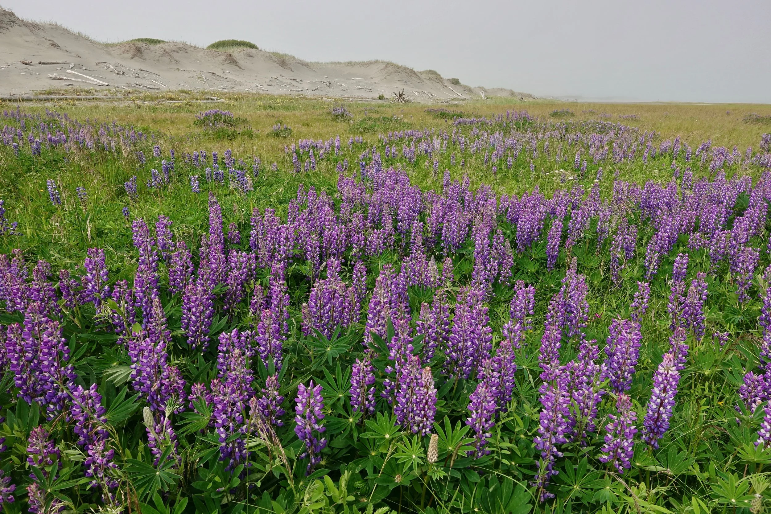
Lupin near the Ahrnklin River. The wind did not allow me to paddle the Ahrnklin River but would save time as there is a crossing at the end of the beach regardless
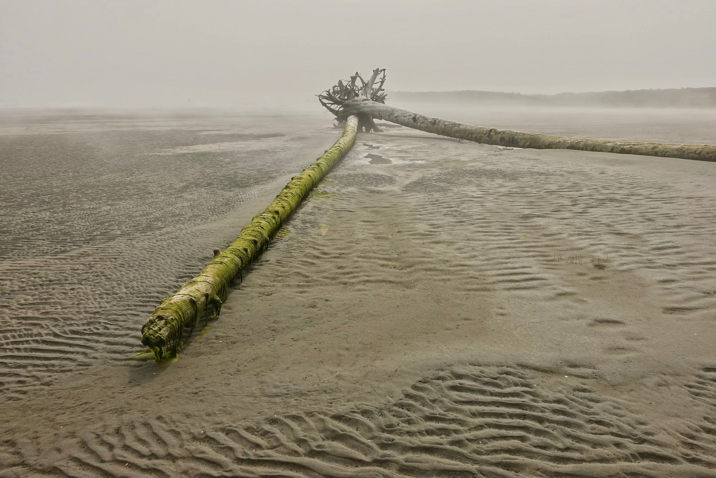
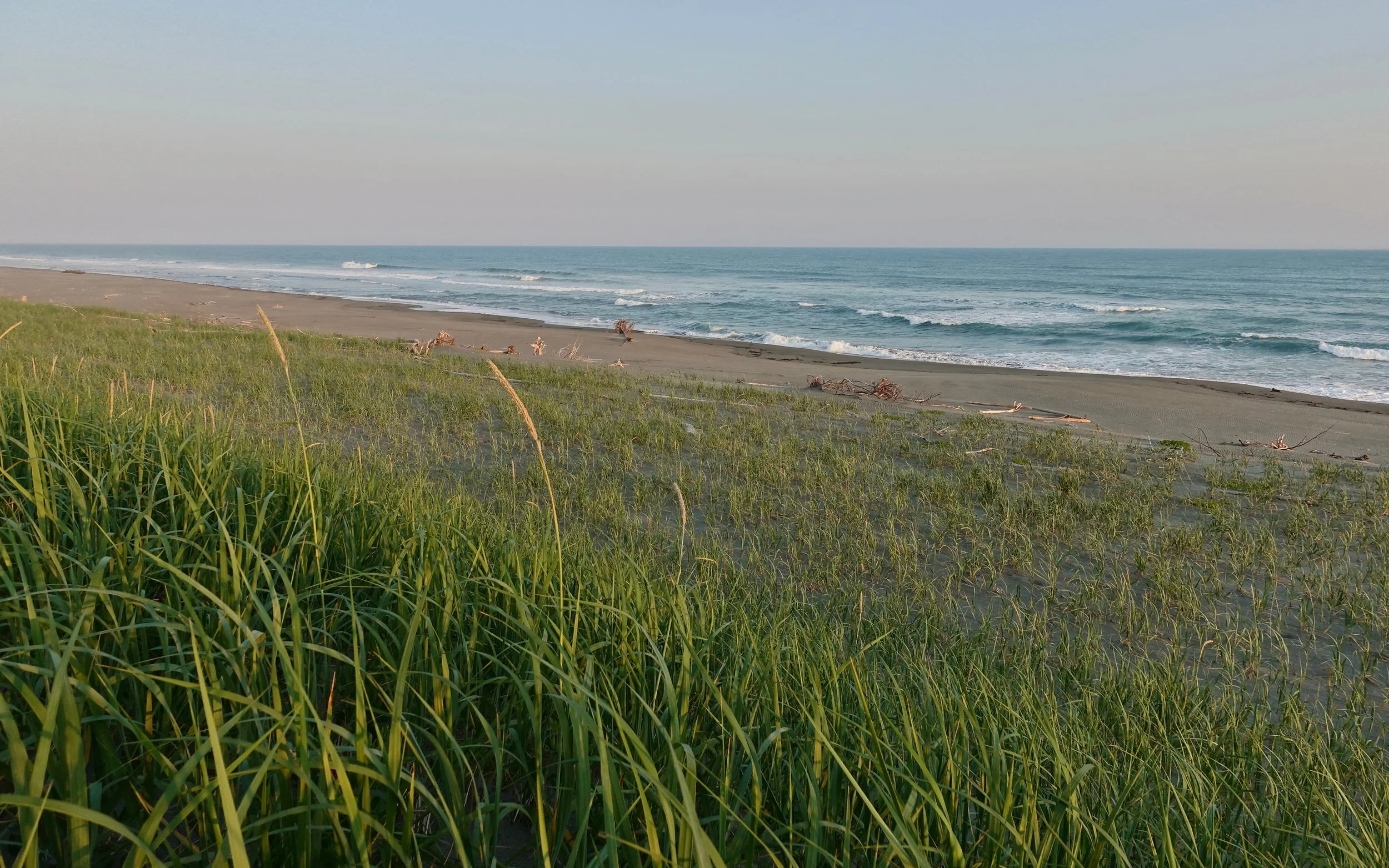
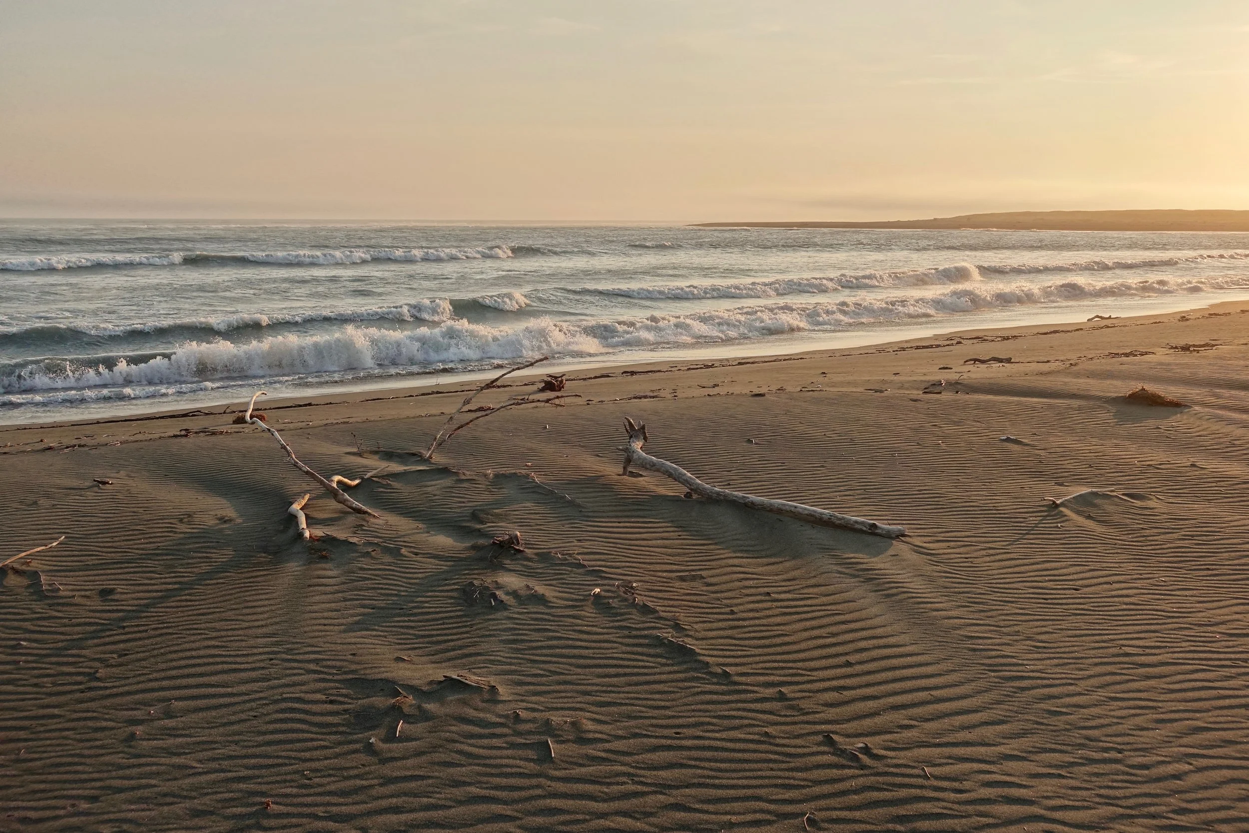
Driftwood in a tidal flat
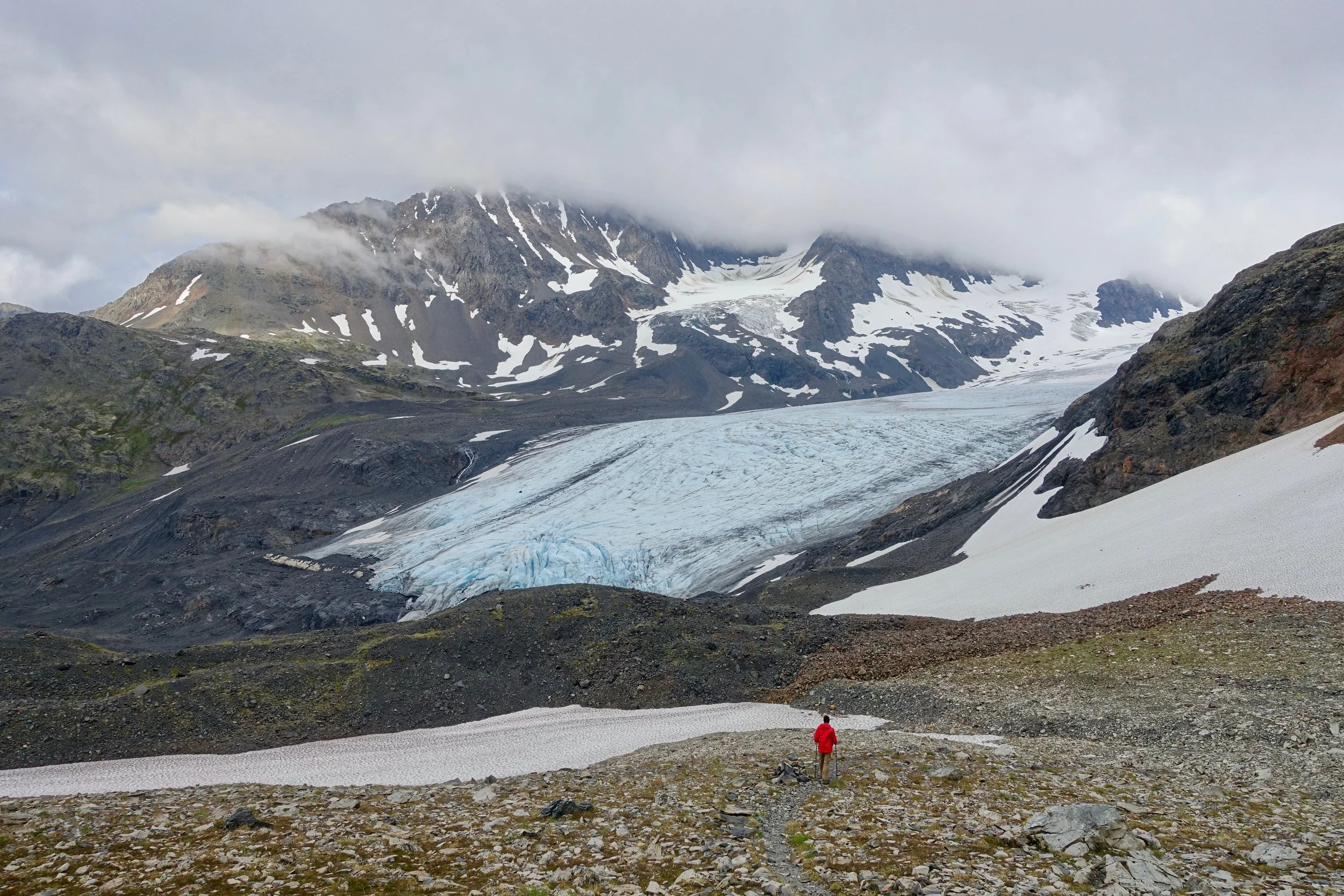
Harding Icefield
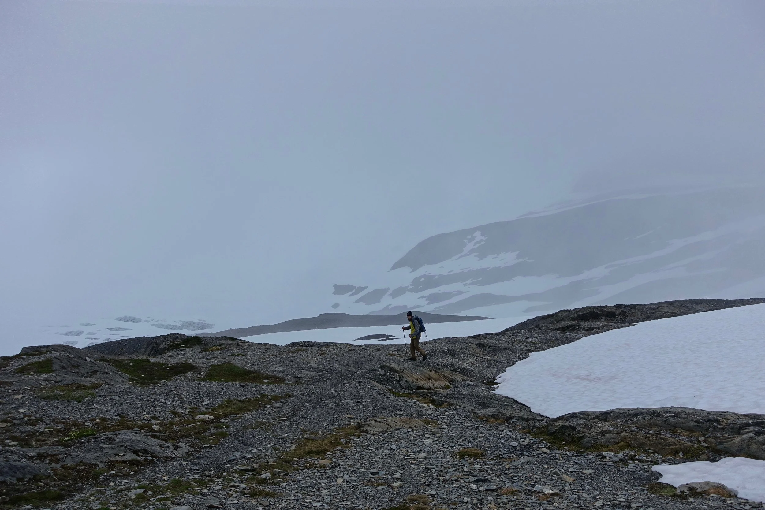
The approach hike climbs along Exit Glacier, a popular day hike in Kenai Fjords National Park (8 miles, 3000ft). We set out in the late afternoon, looking to spend the night at the icefield, then walk back in the morning.
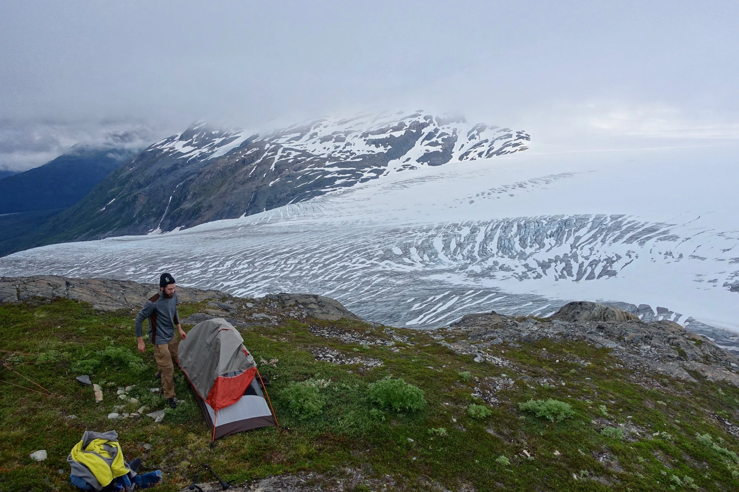
The Harding Icefield is huge with mountains in view that are about 20 miles away, the icefield continues another 30 miles beyond that.
Williwaw Lakes
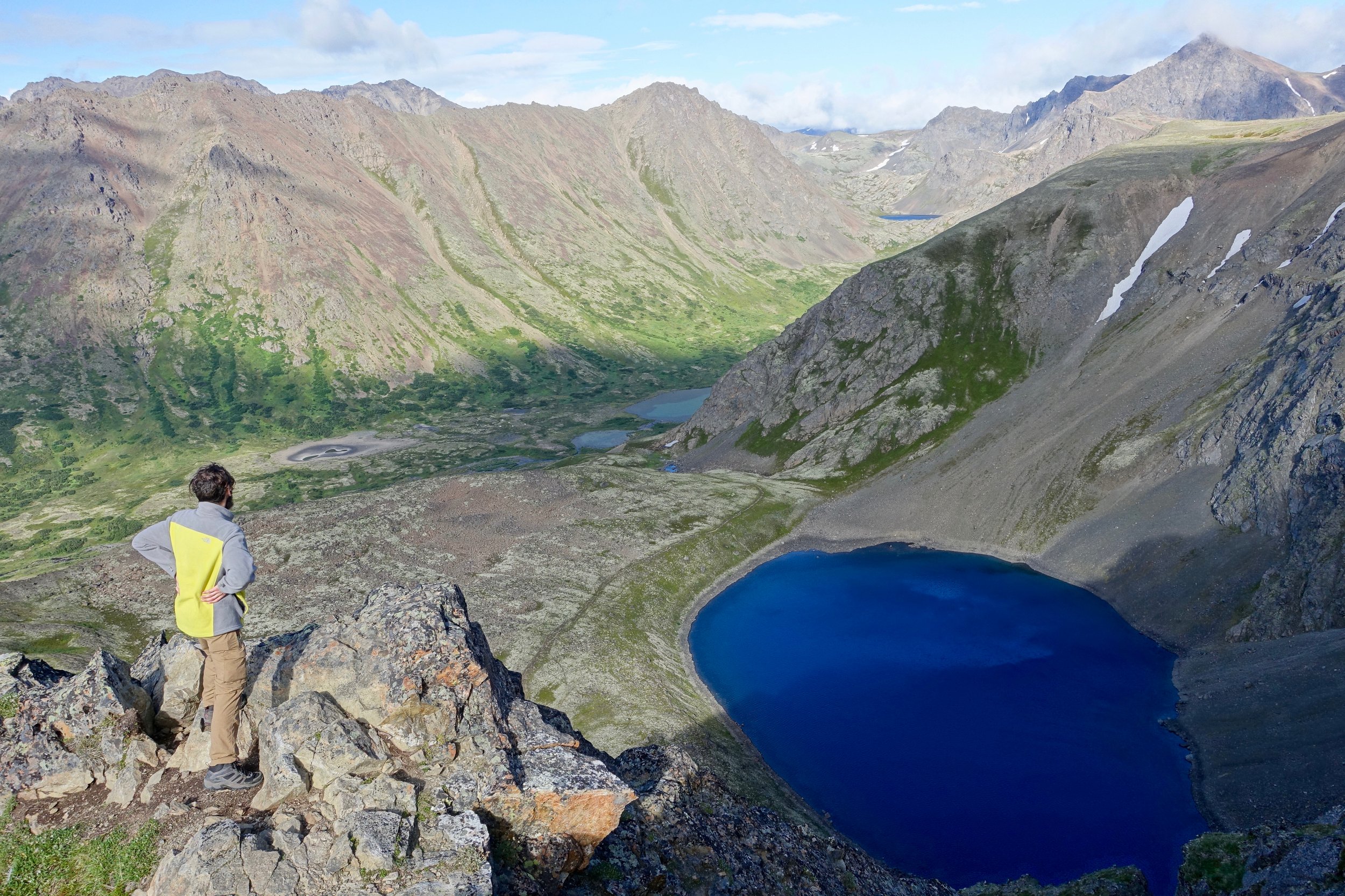
We took a spur trail called The Ballpark from the Glen Alps Trailhead to Williwaw and returned creekside along the traditional path
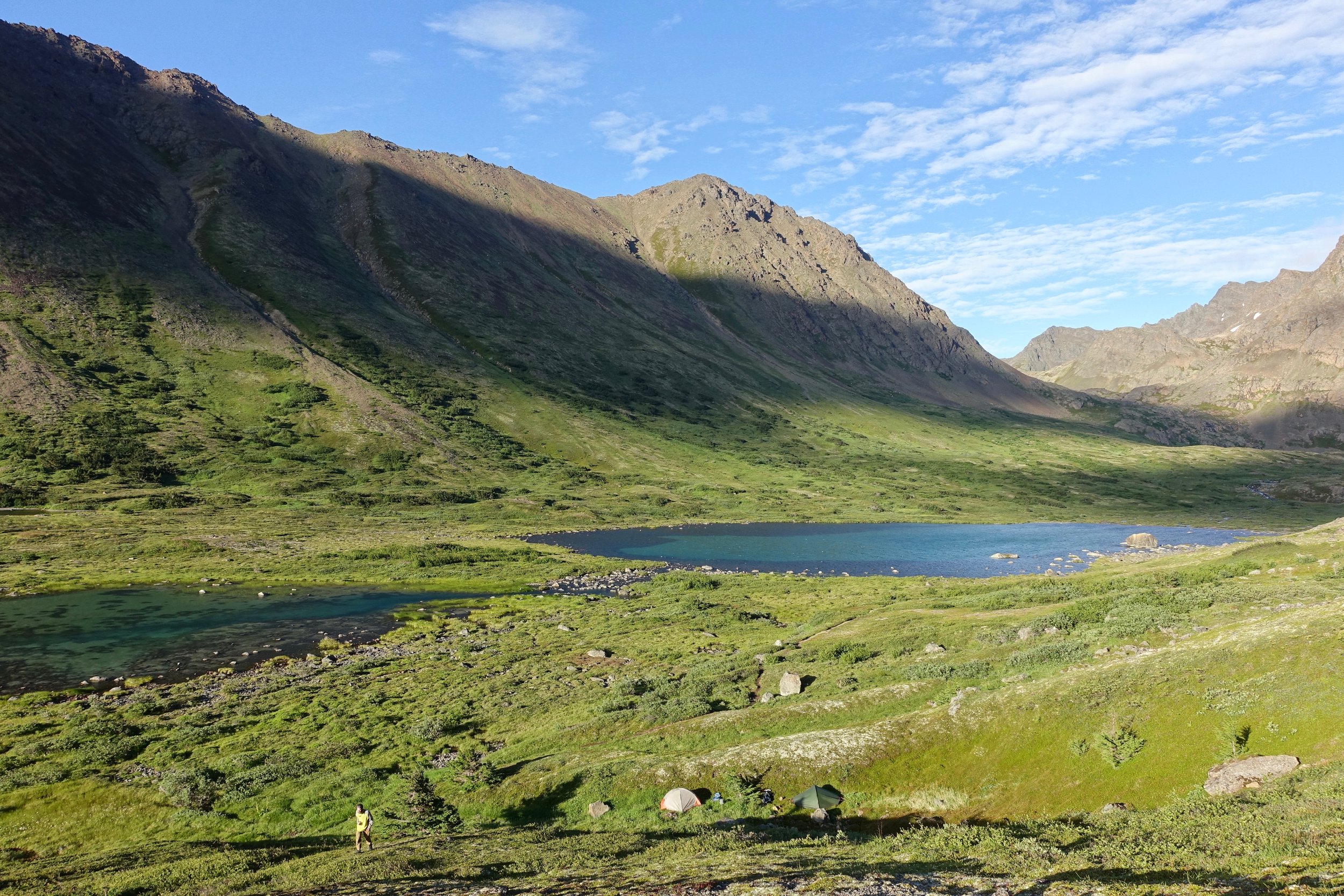
We set up camp in a gully next to the lakes, the day with the most sunshine was also the day with the most wind
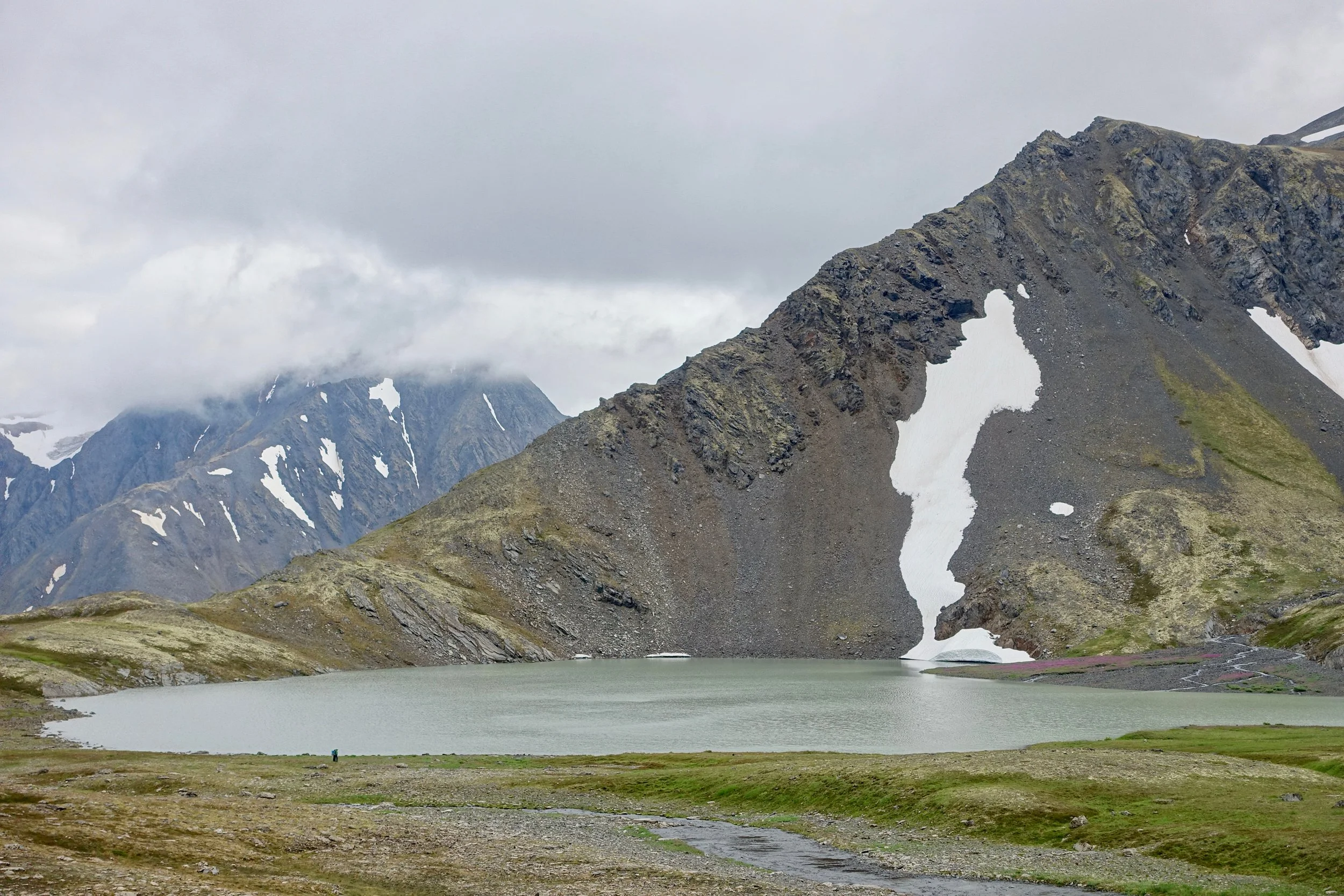
Pioneer Ridge Trail
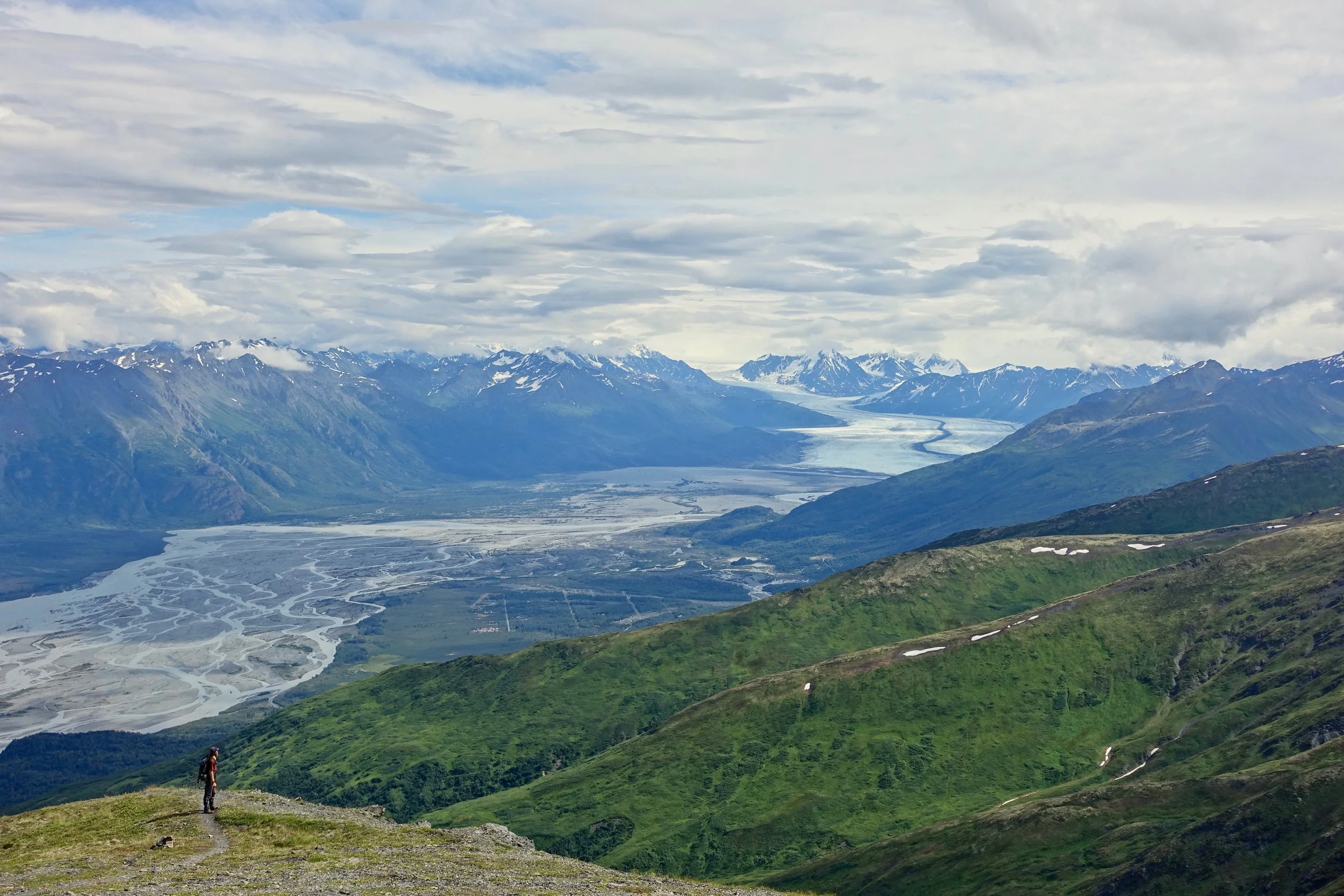
The Pioneer Ridge trail climbs above the Knik Glacier Valley with over 5000ft elevation gain (9 miles return)
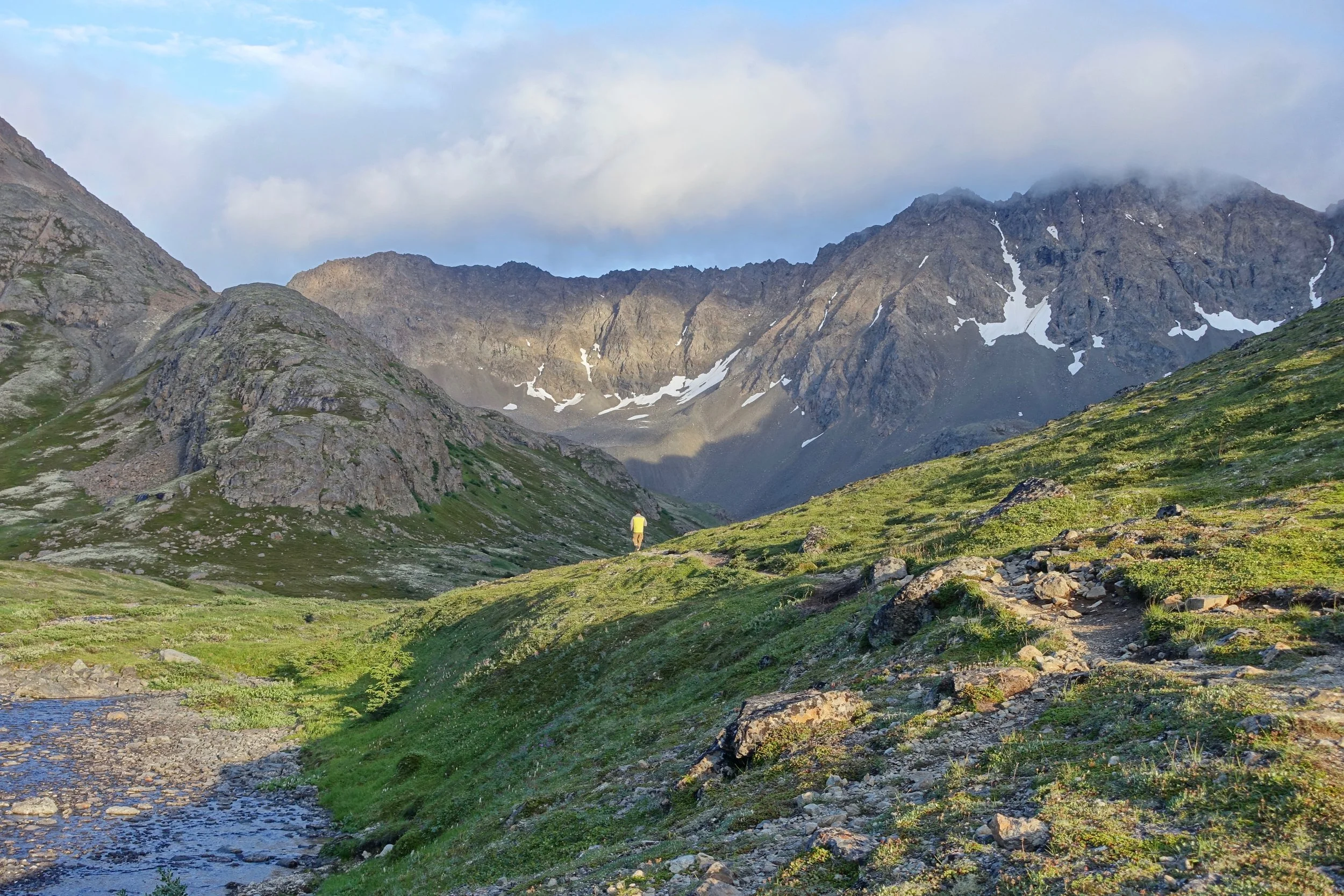
Crow Pass
There is an old dogsled path to Crow Pass and the Raven Glacier (8 miles return, 2000ft)
Crystal Lake